The best walks and hikes around Luddington And Haldenby
4.4
(82)
582
hikers
79
hikes
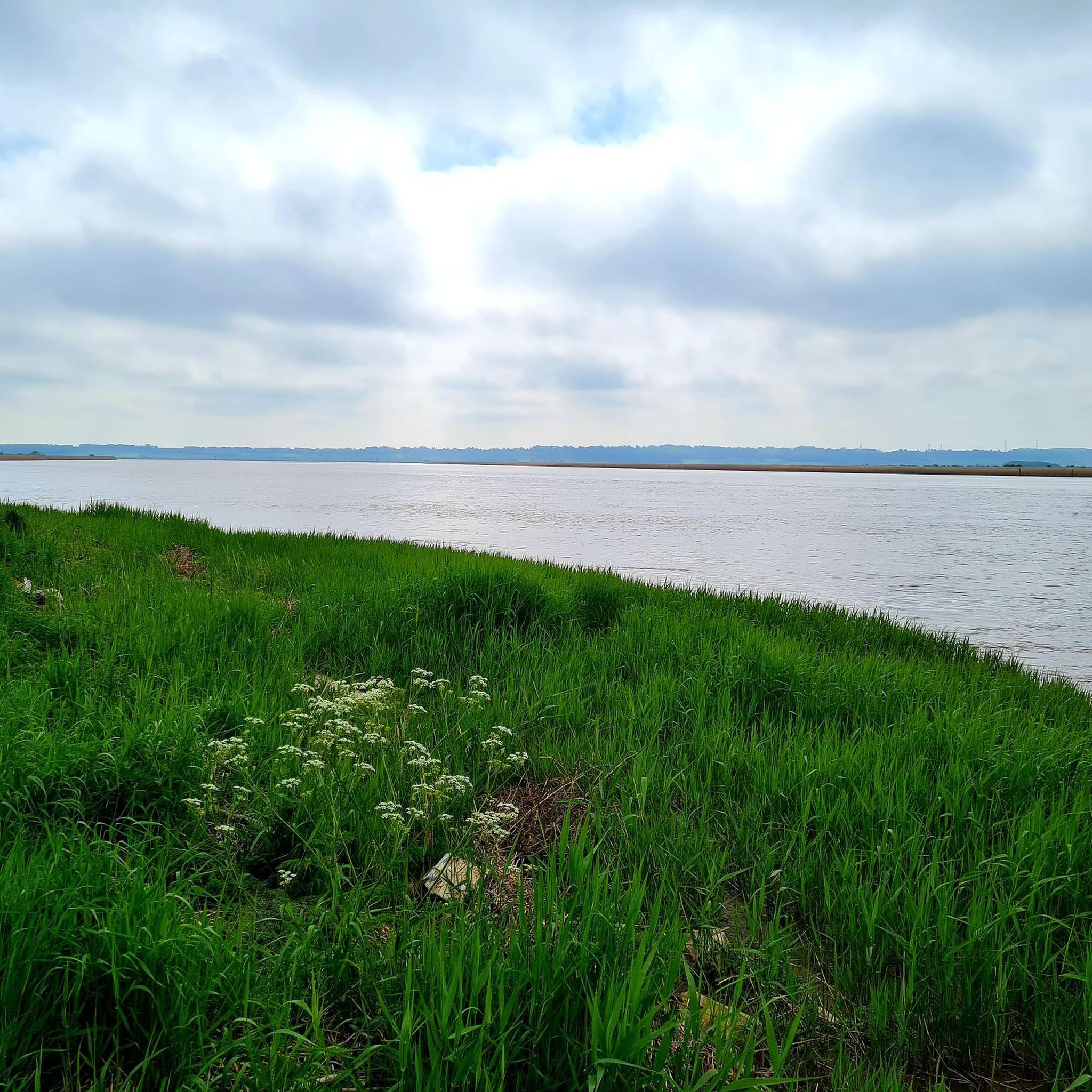
Hikes around Luddington and Haldenby explore the low-lying landscape of North Lincolnshire's Isle of Axholme. The region is characterized by its flat terrain, open farmland, and extensive network of public footpaths. Many routes follow the banks of the River Trent or the nearby Stainforth and Keadby Canal, offering level walking opportunities through a quiet, rural setting.
Best hiking trails around Luddington And Haldenby
- The most popular hiking route is the Stainforth & Keadby Canal loop from Crowle, a 10.3…
Last updated: July 8, 2026
4.0
(2)
8
hikers
16.6km
04:13
30m
30m
Moderate hike. Good fitness required. Easily-accessible paths. Suitable for all skill levels.
4.5
(8)
28
hikers
Moderate hike. Good fitness required. Easily-accessible paths. Suitable for all skill levels.

Sign up for free
23
hikers
6.51km
01:38
10m
10m
Easy hike. Great for any fitness level. Easily-accessible paths. Suitable for all skill levels.
4.5
(2)
18
hikers
8.93km
02:20
70m
70m
Moderate hike. Good fitness required. Easily-accessible paths. Suitable for all skill levels.
5
hikers
Moderate hike. Good fitness required. Easily-accessible paths. Suitable for all skill levels.
Get access to more routes and recommendations from other explorers.
Sign up for free
Already have an account?
Our route recommendations are based on thousands of hikes, rides, and runs completed by other people on komoot.
Start today with a free account
Your next adventure awaits.
Login or Signup

Tips from the Community

A quiet road through a beautiful area, partly following an old (dismantled) railway line. I was surprised that this road isn't on the map/OSM, even though it's a public road.
0
0

Coleby Wood 70.3m P42 (231ft) (DoBIH Hill ID: 19743) [JNSA 26821]
0
0

Vazon Swing Bridge is a conventional swing bridge but nearby the railway crosses to the south side of the canal on a very rare type of sliding bridge. This is the Vazon sliding railway bridge, which moves aside to allow boats to navigate down the Stainforth and Kneadby canal.
0
0
Godnow Bridge railway station was a small railway station on the line between Doncaster and Keadby. Now it is a great little bridge to cross over the Stainforth and Keadby canal.
0
0
Crowle is a small market town next to the Stainforth and Keadby Canal. It's a quaint place and has a parish church that contains the Crowle Stone runic cross shaft along with a striking Gothic revival market hall.
0
0

Good for a little explore.
0
0

This path boasts fantastic views towards the Alkborough Flats and the confluence point of the rivers Trent and Ouse.
1
0
Julian Bower is a great example of a well preserved turf maze with its sunken form demonstrating its great age. It is thought that the maze was cut by Spalding Priory before 1220. It is one of few surviving turf mazed believed to be from the medieval period.
1
0
Frequently Asked Questions
Are the hiking trails around Luddington and Haldenby suitable for dogs?
Yes, the region's flat terrain with riverside paths and canal towpaths is generally well-suited for walking with dogs. However, many routes cross open farmland where livestock may be present. It's essential to keep your dog on a lead and under control in these areas.
What are the best options for short, easy walks in the area?
The landscape around Luddington and Haldenby is predominantly flat, making it ideal for easygoing walks. There are over 50 easy-rated hikes to choose from. A great example is the Disused Railway and Tunnel loop from Burton upon Stather, which offers a gentle walk with interesting features.
Are there any circular walks available?
Yes, circular walks are very common in this area, allowing you to start and end in the same place without retracing your steps. Many of the recommended routes are loops, such as the Julian's Bower Turf Maze – View of Alkborough Flats loop from Burton upon Stather, which provides a varied experience through the local landscape.
Where can I find parking for the trails?
Parking is typically found in the villages or towns where the hikes begin, such as Crowle, Ealand, or Burton upon Stather. This may include on-street parking or small local car parks. We recommend checking the start point of your chosen route on the map for specific parking locations before you travel.
What is the terrain like on the hikes around Luddington and Haldenby?
The hiking is characterized by very flat, low-lying terrain. You can expect to walk on well-defined public footpaths across open farmland, along the banks of the River Trent, and on the towpaths of canals like the Stainforth and Keadby Canal. There is very little elevation change on most routes.
Are there any pubs or cafes along the walking routes?
While the trails themselves are rural, many routes start or finish in small towns and villages like Crowle or Burton upon Stather, which have pubs and local shops. It's a good idea to plan your walk to end in one of these villages if you're looking for refreshments afterwards.
What do other hikers think of the trails in this region?
The area is highly regarded by the komoot community, with an average rating of 4.3 stars. Hikers often praise the peacefulness of the canal and riverside paths, the vast open skies of the Isle of Axholme, and the easy, level walking conditions.
Are there any points of historical interest to see on a walk?
Yes, some walks pass by interesting local landmarks. For example, new public footpaths have been created that pass St Oswald's Church in Luddington. Other routes in the wider area, like those near Burton upon Stather, can take you to historic sites like Julian's Bower, a medieval turf maze.
How many hiking trails are there to choose from around Luddington and Haldenby?
There is a wide variety of options, with over 80 designated hiking routes in the region. These range from short, easy strolls to longer, more moderate day hikes, ensuring there's a trail for every fitness level.
Can I get to the trailheads using public transport?
Accessing the start of the walks via public transport can be challenging as the area is quite rural. Some of the larger villages, like Crowle, have bus services and a train station which may serve as a starting point for certain hikes. We recommend checking local bus and train schedules in advance to plan your journey.
Most popular attractions around Luddington And Haldenby

Get inspired with the komoot mobile app


Explore more
Browse the best Hikes in other regions.
