The best road cycling routes around Thoresway
4.6
(58)
1,722
riders
198
rides
Road cycling around Thoresway offers varied terrain within the Lincolnshire Wolds Area of Outstanding Natural Beauty. The region is characterized by rolling hills, providing engaging routes without being overly arduous. Cyclists can navigate a network of quiet country lanes, often featuring well-paved surfaces and scenic vistas of the surrounding countryside. The highest point in Lincolnshire, Wolds Top, is located nearby at approximately 168 meters above sea level.
Best road cycling routes around Thoresway
- The most popular road cycling route is…
Last updated: July 11, 2026
5.0
(1)
38
riders
42.4km
01:50
260m
260m
Easy road ride. Great for any fitness level. Mostly well-paved surfaces and easy to ride.
21
riders
51.9km
03:06
400m
400m
Moderate road ride. Good fitness required. Mostly well-paved surfaces and easy to ride.

Sign up for free
13
riders
45.6km
02:06
380m
380m
Moderate road ride. Good fitness required. Some segments of this route may be unpaved and difficult to ride.
12
riders
22.6km
01:04
230m
240m
Easy road ride. Great for any fitness level. Mostly well-paved surfaces and easy to ride.
8
riders
54.8km
02:38
430m
430m
Moderate road ride. Good fitness required. Mostly well-paved surfaces and easy to ride.
Get access to more routes and recommendations from other explorers.
Sign up for free
Already have an account?
Our route recommendations are based on thousands of hikes, rides, and runs completed by other people on komoot.
Start today with a free account
Your next adventure awaits.
Login or Signup
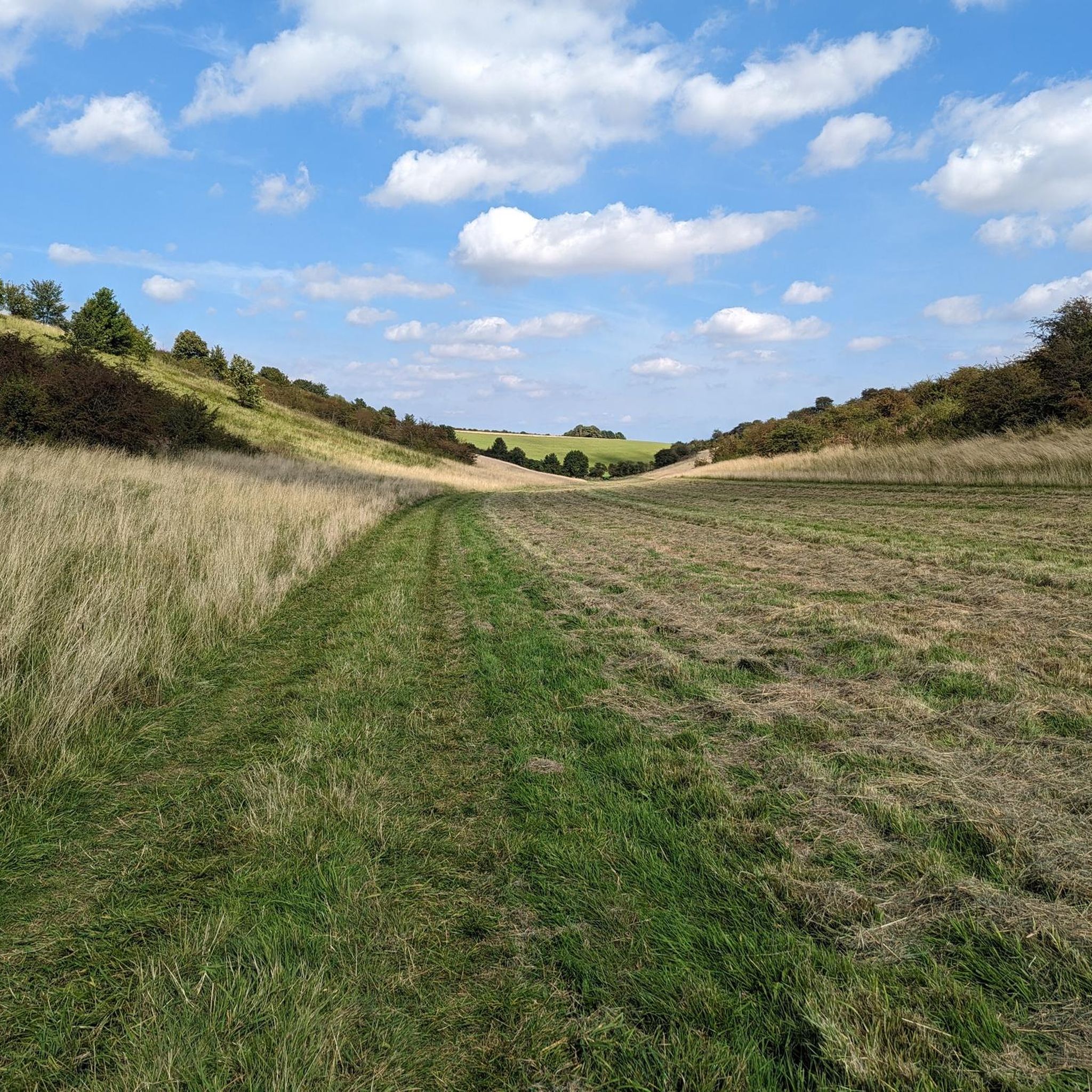
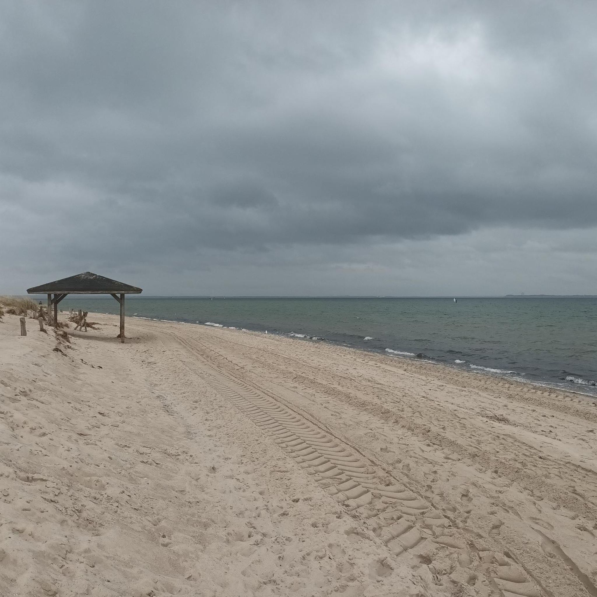
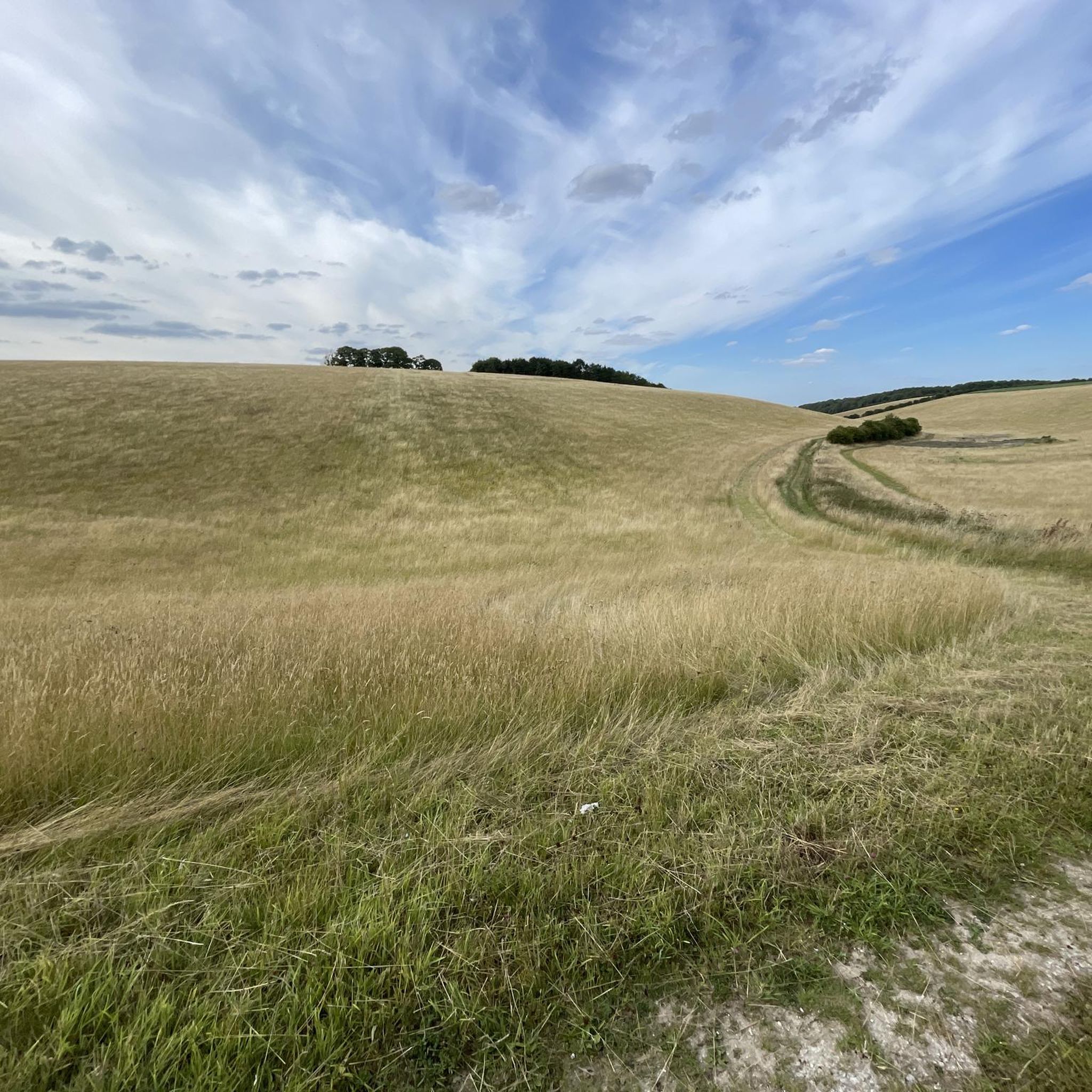
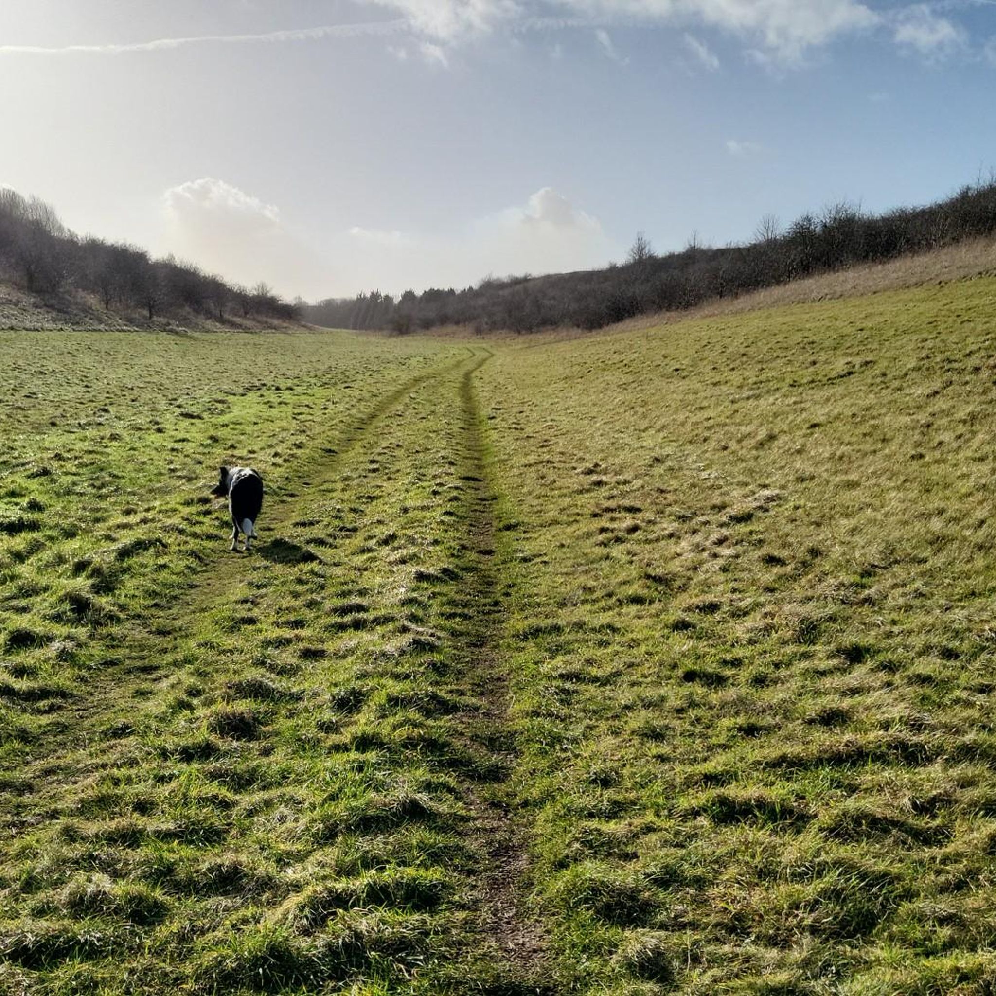
Tips from the Community


A marker for National Cycle Route 1. A place to grab a breather after the climb out of Thoresway.
0
0

This church in Louth, a place of prayer for many centuries and dedicated to St. James as its patron saint, is closely intertwined with a very specific moment in English history that took place almost five centuries ago. In British history, this moment in October 1536 is known as the "Lincolnshire Rising." This uprising was a protest against King Henry VIII, particularly his actions following his separation from his wife, which led to the English Church splitting from the Roman Catholic Church.
0
0

hubbards hill louth lincolnshire small walk some steps up to the top of the hill
1
0

Be aware of the traffic lights halfway up the main climb through the town!
0
0
This church in Louth, a place of prayer for many centuries and dedicated to St. James as its patron saint, is closely intertwined with a very specific moment in English history that took place almost five centuries ago. In British history, this moment in October 1536 is known as the "Lincolnshire Rising." This uprising was a protest by large sections of the population against King Henry VIII, particularly his actions following his separation from his wife, which led to the English Church splitting from the Roman Catholic Church.
0
0
Frequently Asked Questions
How many road cycling routes are available around Thoresway?
There are over 200 road cycling routes around Thoresway, catering to various skill levels. You'll find approximately 67 easy routes, 133 moderate routes, and a few more challenging options for experienced cyclists.
What kind of terrain and difficulty can I expect on road cycling routes near Thoresway?
Road cycling around Thoresway is characterized by rolling hills and varied terrain within the Lincolnshire Wolds Area of Outstanding Natural Beauty. The routes are engaging without being overly arduous, primarily utilizing quiet country lanes with well-paved surfaces. You'll find options ranging from easy, relatively flat loops to moderate rides with more significant elevation gains.
Are there any particularly scenic road cycling routes in the Thoresway area?
Yes, many routes offer scenic vistas of the surrounding countryside. For example, the Hubbard's Hills – St James' Church, Louth loop from Hatcliffe traverses rolling hills and passes through picturesque areas like Hubbard's Hills. The Waltham Windmill – Cleethorpes Pier loop from Hatcliffe offers views towards the coast.
What notable landmarks or attractions can I see along road cycling routes near Thoresway?
The routes often pass through charming villages and offer views of the Lincolnshire Wolds. Specific points of interest include Waltham Windmill, which is part of the Waltham Windmill – Cleethorpes Pier loop from Hatcliffe. You might also encounter historical sites like Walesby Church or the former Nettleton Mine Entrance.
What do other road cyclists enjoy most about cycling in Thoresway?
The road cycling routes around Thoresway are highly rated by the komoot community, with an average score of 4.6 stars from over 50 reviews. Cyclists frequently praise the quiet country lanes, the varied terrain of the rolling hills, and the charming villages encountered along the way. Over 1,700 road cyclists have used komoot to explore this area.
Are there any family-friendly road cycling routes around Thoresway?
Yes, there are several easy routes suitable for families. The region's network of quiet country lanes provides a safer and more peaceful environment away from heavy traffic. Routes like the Croxby Top View – St. Mary’s Church, Rothwell loop from Thorganby CP are generally less challenging and can be a good option for a family outing.
Where can I find parking for road cycling routes in the Thoresway area?
Many routes start from villages or designated car parks. For example, the Somerby Monument – Caistor Market Place loop starts from Rothwell CP (Car Park), indicating available parking. When planning your ride, check the route details for specific starting points and parking information.
Are there any circular road cycling routes available?
Yes, many of the road cycling routes around Thoresway are designed as loops, allowing you to start and finish at the same point. Examples include the Waltham Windmill – Cleethorpes Pier loop and the Claxby Radar Tower – Croxby Top View loop, both offering a circular experience.
Can I find cafes, pubs, or accommodation along the road cycling routes?
The routes often pass through charming villages, which typically offer opportunities for breaks. While specific establishments are not detailed for every route, villages in the Lincolnshire Wolds are known for their local amenities. For example, The King's Head in Tealby is a highlight that cyclists might encounter.
What is the highest point in the Thoresway area that I might encounter on a ride?
Wolds Top, located in Normanby le Wold near Thoresway, is the highest point in Lincolnshire, standing at approximately 168 meters above sea level. While not every route will summit Wolds Top, many rides in the area will offer impressive views and varied elevation profiles due to the rolling hills of the Lincolnshire Wolds.
Are there any longer, more challenging road cycling routes for experienced riders?
While the majority of routes are easy to moderate, the region does offer options for longer and more challenging rides. The Lincolnshire Wolds Cycle Route, for instance, is a longer 180km route with significant climbing. Additionally, some routes, like the Claxby Radar Tower – Croxby Top View loop, offer moderate difficulty with over 400 meters of elevation gain, providing a good challenge.
Is public transport available to reach the Thoresway area for cycling?
While Thoresway itself is a small village, the broader Lincolnshire Wolds area has some public transport links. For detailed information on bus services or train connections to nearby towns that could serve as starting points, it's advisable to consult local transport authorities. You can find general information about transport in the wider West Lindsey district on the West Lindsey District Council website.
Most popular attractions around Thoresway

Get inspired with the komoot mobile app


Explore more
Browse the best Road cycling routes in other regions.
