The best cycling routes around Normanby Le Wold
3.8
(45)
375
riders
103
rides
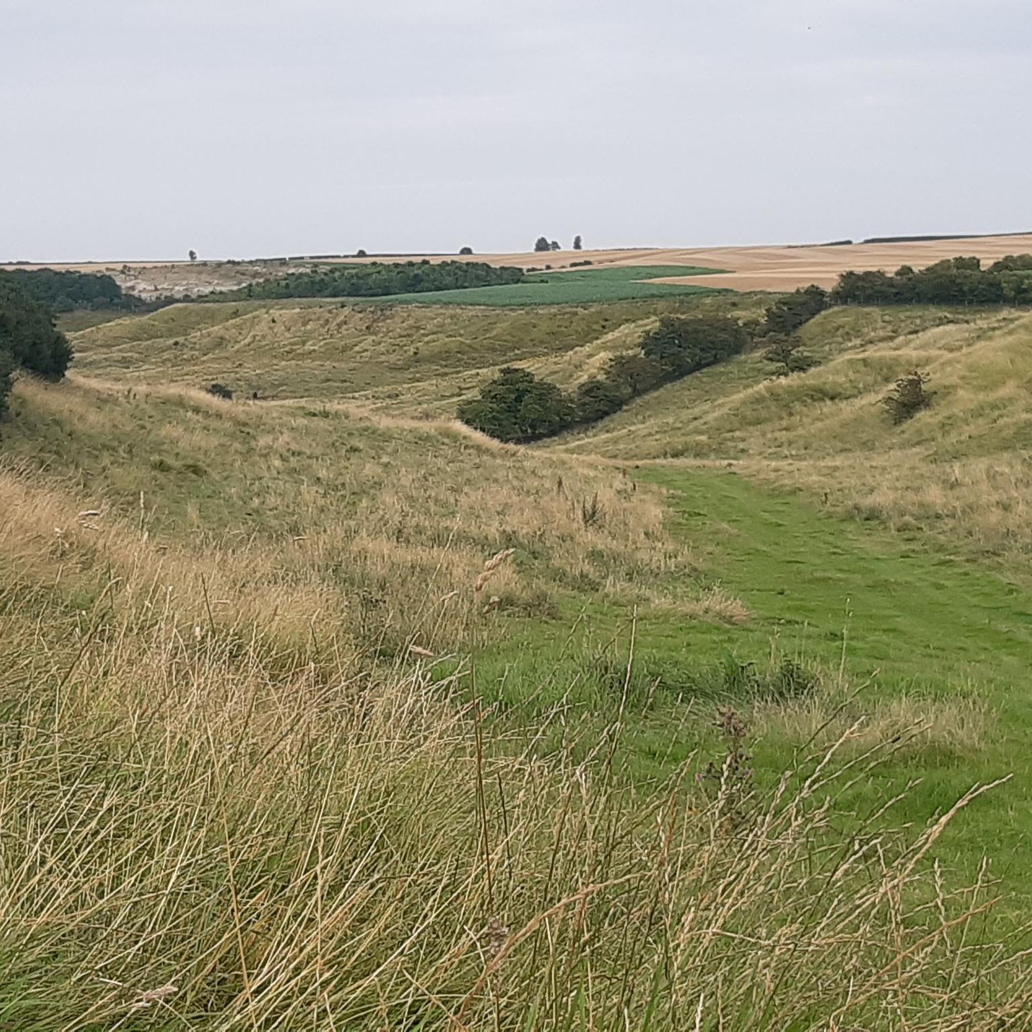
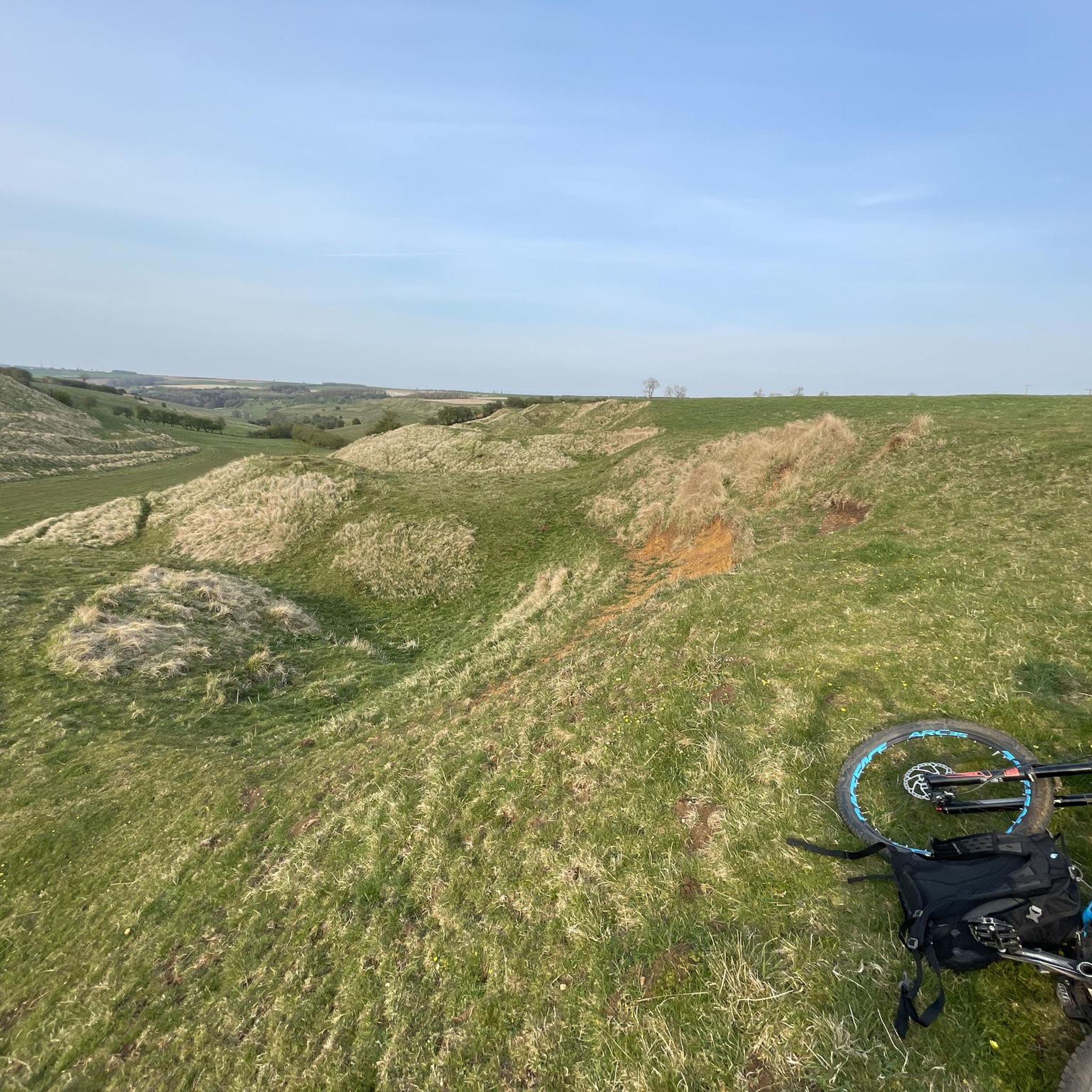
Touring cycling routes around Normanby Le Wold are set within the Lincolnshire Wolds Area of Outstanding Natural Beauty. The region features undulating topography, including rolling hills, chalk escarpments, and deep, dry valleys. Wolds Top, the highest point in Lincolnshire, is located nearby, offering expansive views. The landscape also includes open, arable plateau hilltops and agricultural areas.
Best touring cycling routes around Normanby Le Wold
- The most popular touring cycling route is Kings Head – The King's Head, Tealby loop from…
Last updated: June 27, 2026
4.0
(5)
14
riders
26.1km
01:56
120m
120m
Easy bike ride. Great for any fitness level. Mostly paved surfaces. Suitable for all skill levels.
5.0
(1)
10
riders
16.2km
00:59
80m
80m
Easy bike ride. Great for any fitness level. Mostly paved surfaces. Suitable for all skill levels.

Sign up for free
5.0
(1)
7
riders
35.6km
03:01
400m
400m
Moderate bike ride. Good fitness required. Mostly paved surfaces. Suitable for all skill levels.
5.0
(1)
6
riders
31.8km
02:45
390m
390m
Moderate bike ride. Good fitness required. Mostly paved surfaces. Suitable for all skill levels.
2.0
(1)
6
riders
17.6km
01:32
240m
240m
Moderate bike ride. Good fitness required. Mostly paved surfaces. Suitable for all skill levels.
Get access to more routes and recommendations from other explorers.
Sign up for free
Already have an account?
Our route recommendations are based on thousands of hikes, rides, and runs completed by other people on komoot.
Start today with a free account
Your next adventure awaits.
Login or Signup
Tips from the Community


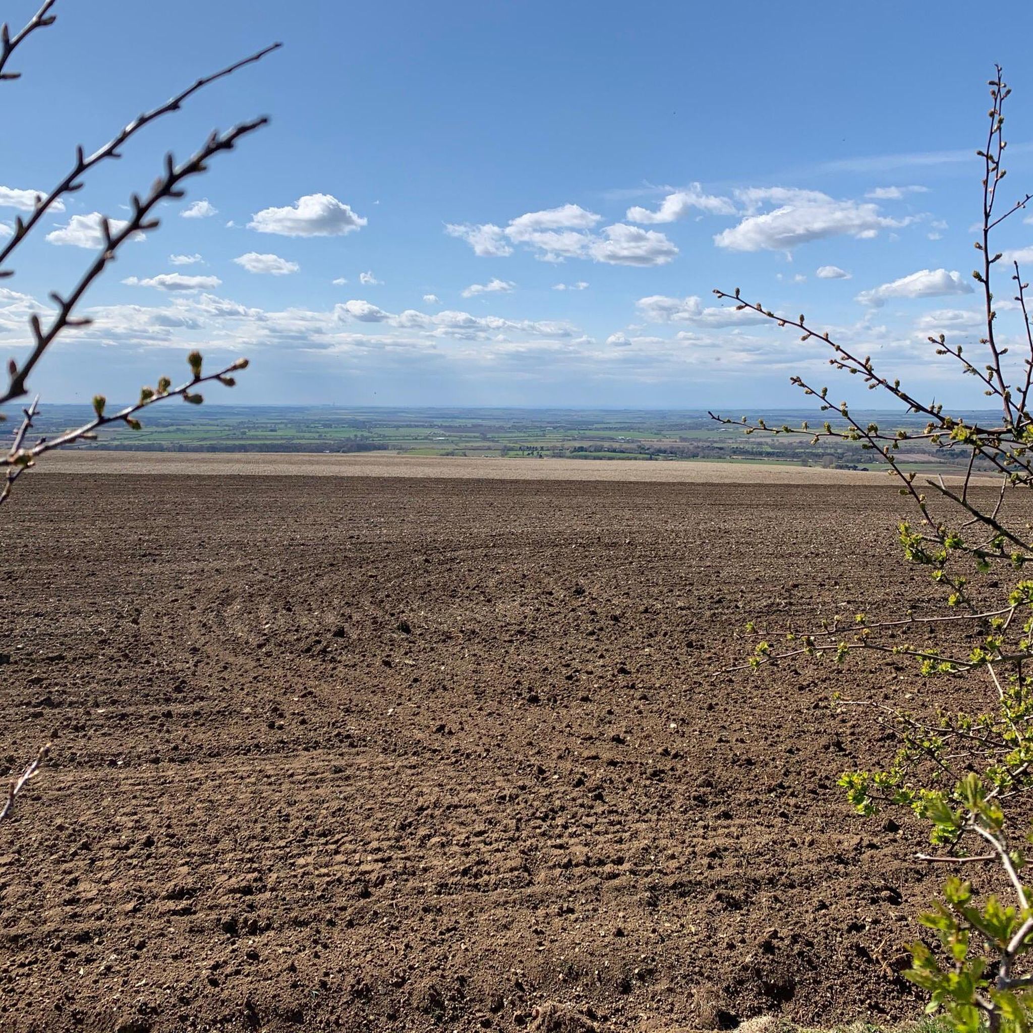
wolds top is something special for flat Lincolnshire
0
0
Super views down towards Rothwell and the N. E. Lincs Wolds.
0
0
One hell of a steep hill out of the village, gets steep at the top.
0
0
Frequently Asked Questions
How many touring cycling routes are available around Normanby Le Wold?
There are over 110 touring cycling routes around Normanby Le Wold documented on komoot. These routes cater to various skill levels, with 37 easy, 59 moderate, and 14 difficult options.
What kind of terrain can I expect on touring cycling routes in Normanby Le Wold?
The routes in Normanby Le Wold are characterized by the undulating topography of the Lincolnshire Wolds. You'll encounter rolling hills, chalk escarpments, and deep, dry valleys, offering a diverse and picturesque backdrop for your ride. The area also features open, arable plateau hilltops and tranquil agricultural landscapes.
Are there any circular touring cycling routes available?
Yes, many touring cycling routes around Normanby Le Wold are circular. For example, the Kings Head – The King's Head, Tealby loop from Tealby CP is an easy 25.6 km circular route, and the Public Footpath loop from Holton le Moor CP offers another easy 16.2 km circular option.
What are some scenic viewpoints or landmarks I can see along the routes?
You can enjoy expansive panoramic views from Wold Top, the highest point in Lincolnshire, located near Normanby Le Wold. Other points of interest include Walesby Church and the historic Nettleton Mine Entrance.
Are there any routes suitable for beginners or families?
Yes, there are 37 easy touring cycling routes around Normanby Le Wold that are well-suited for beginners or families. An excellent option is the Public Footpath loop from Holton le Moor CP, which is an easy 16.2 km path offering views of tranquil agricultural landscapes.
What do other touring cyclists enjoy most about cycling in Normanby Le Wold?
The touring cycling routes around Normanby Le Wold are highly rated by the komoot community, with an average score of 3.8 stars from over 45 reviews. Cyclists often praise the area's diverse terrain, from rolling hills to open plateaus, and the peaceful, tranquil environment of the Lincolnshire Wolds.
Are there any longer or more challenging routes for experienced cyclists?
For experienced cyclists seeking a longer challenge, the The King's Head, Tealby – Forest Path loop from Tealby CP is a moderate 35.6 km route that leads through diverse terrain. There are also 14 routes classified as difficult for those looking for a significant challenge.
Can I find places to eat or drink along the cycling routes?
Yes, some routes pass by establishments where you can refuel. For instance, the Kings Head – The King's Head, Tealby loop from Tealby CP starts and ends near The King's Head, Tealby, which is a restaurant. The region's villages often have pubs and cafes.
What is the best time of year to go touring cycling in Normanby Le Wold?
The Lincolnshire Wolds offer beautiful scenery throughout the year. Spring and summer provide pleasant weather for cycling through the green landscapes, while autumn brings vibrant colors. The undulating terrain can be enjoyed in most seasons, though winter cycling may require more preparation due to potentially colder and wetter conditions.
Are there any routes that are part of national cycling networks?
Yes, the National Cycle Route 1 is integrated into some of the local circular routes, particularly those originating from nearby Market Rasen. You can find a section of the NCN 1 Bridleway near Barnetby Wold.
What is the typical elevation gain on routes around Normanby Le Wold?
Given the region's undulating topography, routes often feature moderate elevation changes. For example, the Forest Path – Forest Path loop from Rothwell CP, a 31.8 km moderate route, involves an elevation gain of approximately 390 meters.
Most popular attractions around Normanby Le Wold

Get inspired with the komoot mobile app


Explore more
Browse the best Cycling routes in other regions.
