The best road cycling routes around East Stockwith CP CP
4.2
(40)
1,423
riders
113
rides
Road cycling routes around East Stockwith CP CP are characterized by predominantly flat terrain and quiet country roads, offering scenic rides through the rural Lincolnshire landscape. The area is situated on the east bank of the River Trent, providing opportunities for waterside cycling. Expansive agricultural land surrounds the village, contributing to open views and a peaceful rural setting. The region's low elevation makes it suitable for cyclists of varying abilities.
Best road cycling routes around East Stockwith CP CP
- The…
Last updated: September 4, 2026
30
riders
60.3km
02:30
230m
230m
Moderate road ride. Good fitness required. Mostly well-paved surfaces and easy to ride.
28
riders
47.1km
01:58
100m
100m
Easy road ride. Great for any fitness level. Mostly well-paved surfaces and easy to ride.

Sign up for free
25
riders
60.0km
02:23
160m
160m
Moderate road ride. Good fitness required. Mostly well-paved surfaces and easy to ride.
22
riders
49.0km
02:11
270m
270m
Moderate road ride. Good fitness required. Some segments of this route may be unpaved and difficult to ride.
22
riders
17.8km
00:49
20m
20m
Easy road ride. Great for any fitness level. Mostly well-paved surfaces and easy to ride.
Get access to more routes and recommendations from other explorers.
Sign up for free
Already have an account?
Our route recommendations are based on thousands of hikes, rides, and runs completed by other people on komoot.
Start today with a free account
Your next adventure awaits.
Login or Signup

Tips from the Community

Lovely little bridge over the Warping Drain near East Lound and Haxey. It's a highlight because there's not much in the area. Miles of long flat country lanes and farm roads that criss cross the Isle of Axholme. At the bridge you regularly see swans, ducks and various other wild birds that like to hang out where there's water. There's a cow field on one side, the cows use the drain as a watering hole. I always stop here when I'm riding out that way and admire the surrounding countryside, it's extremely peaceful and quiet. Next time you're in the area give it a try.
0
0

Lovely woodland, popular with dog walkers. 2 mile and 1 mile loops. Relatively well drained and rarely gets too boggy Hard surfaced car park.
0
0


Worth stopping for these beautiful murals by Phoebe Traquair
1
0

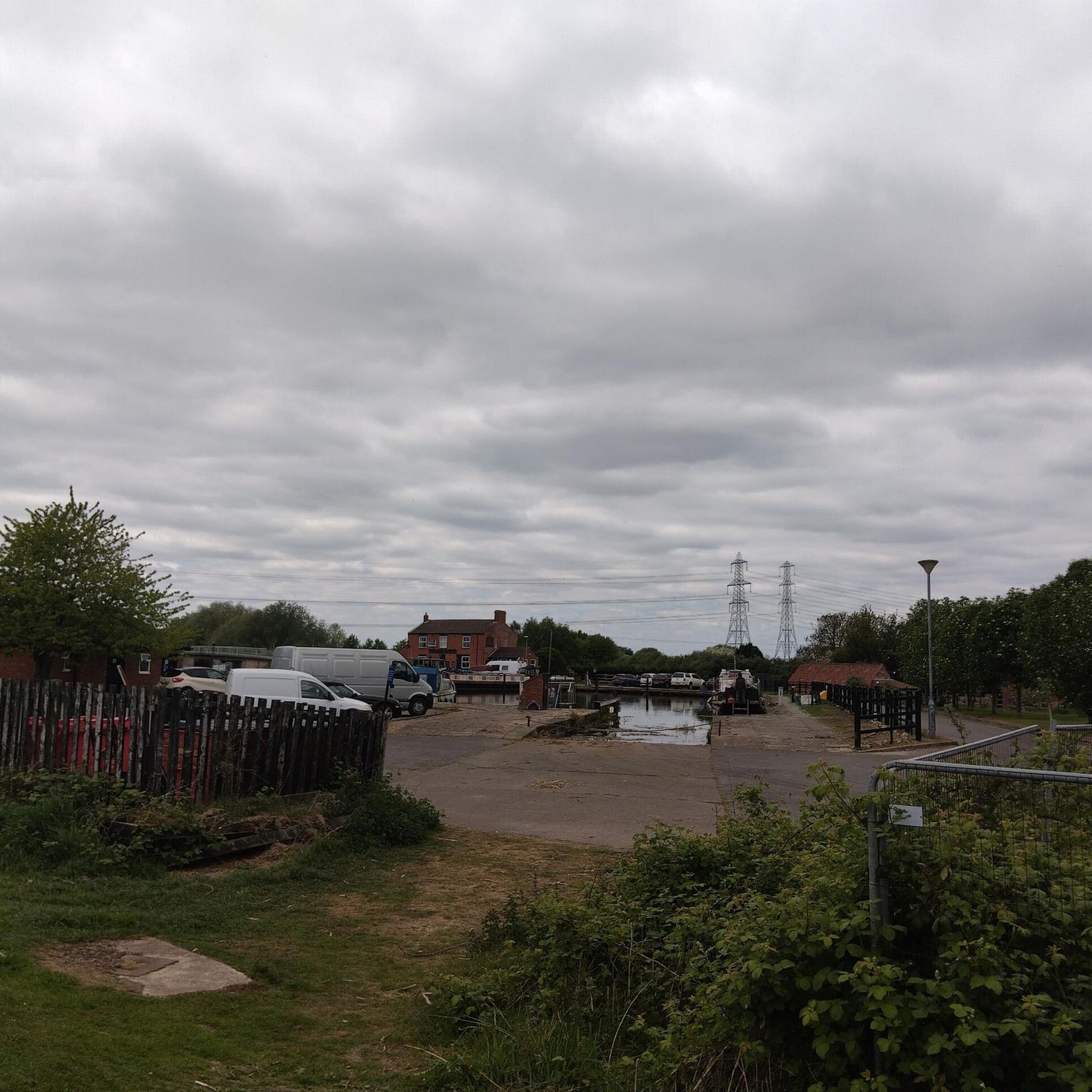
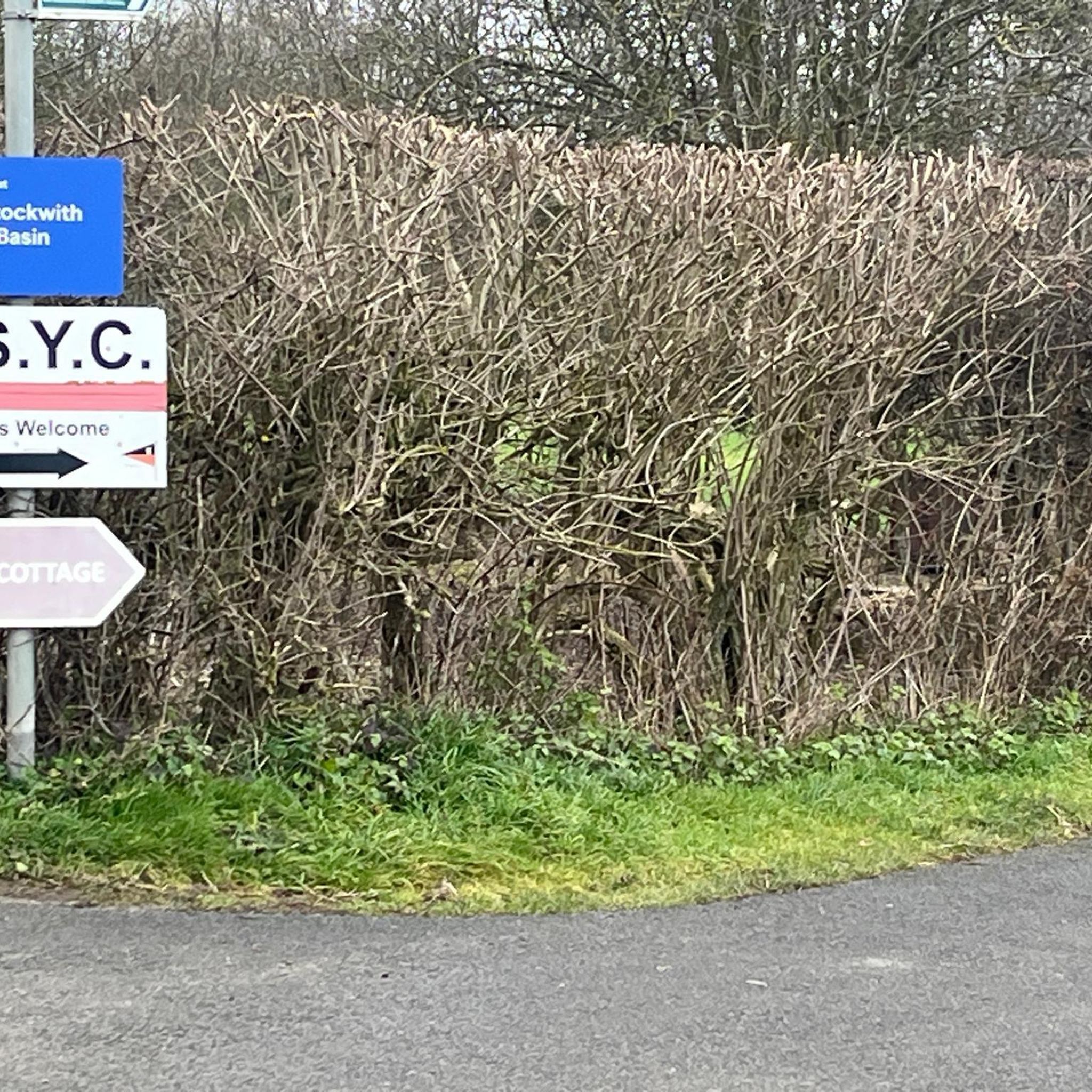
You can go straight on and miss out the Marina and West Stockwith Yacht Club if you are heading to the start of the chesterfield canal.
0
0

Owlet Wood car park - maintained by woodland trust. Nice small woodland area, doesn’t get too busy really boggy in areas however this can be avoided, most of the paths are clean and would be suitable for buggies etc.
0
0

As a centre for culture and heritage, Epworth is rich in traditions and history. Lining the pretty town centre are quaint shops and places to eat, all worth visiting. You can explore St Andrew’s Church or Epworth Old Rectory and learn all about the founders of world Methodism, John and Charles Wesley.
0
0

Small shop but has everything you could want. £1 card limit is a godsend when you forget to buy water. Believe there is an instant coffee machine if you need a warm up but plenty of sugar on sale!
0
0
Frequently Asked Questions
How many road cycling routes are available around East Stockwith CP CP?
There are over 120 road cycling routes available around East Stockwith CP CP, offering a variety of options for different skill levels. You'll find approximately 50 easy routes and over 70 moderate routes to explore.
What is the typical terrain like for road cycling in East Stockwith CP CP?
The terrain around East Stockwith CP CP is predominantly flat, characterized by quiet country roads and expansive agricultural land. This makes it ideal for cyclists of varying abilities, offering peaceful rides with open views and minimal elevation changes.
Are there any scenic routes along the River Trent?
Yes, East Stockwith is situated directly on the east bank of the River Trent, providing excellent opportunities for scenic waterside cycling. The River Trent Riverside Path is noted as a pleasant route, offering views and the chance to stop at riverside pubs.
Are there any family-friendly road cycling routes in the area?
Given the predominantly flat terrain and quiet country roads, many routes around East Stockwith CP CP are suitable for families. Routes like Owlet Wood – Laughton Forest loop from Morton CP are relatively short and easy, making them a good option for a family outing.
What kind of attractions can I find along the cycling routes?
Along the routes, you can discover charming villages and historical sites. For example, the nearby market town of Gainsborough features attractions like Gainsborough Old Hall. You might also pass by natural features like Laughton Forest or enjoy views from the River Trent Riverside Path.
Are there any good places to stop for refreshments or a meal during a ride?
Yes, the region offers several spots for refreshments. The Ferry House Inn in East Stockwith is a notable establishment with a riverside beer garden. Additionally, routes often feature cafes, such as Blyton Ice Cream Parlour, or the starting points for routes like The Pantry Café – Drakeholes Tunnel loop from Misterton, which indicate cafe stops.
What do other cyclists say about road cycling in East Stockwith CP CP?
The road cycling routes in East Stockwith CP CP are highly rated by the komoot community, with an average score of 4.1 stars from over 30 reviews. Cyclists often praise the peaceful rural setting, the flat and quiet country roads, and the scenic stretches along the River Trent.
Are there any circular road cycling routes available?
Yes, many of the routes are designed as loops, allowing you to start and end in the same location. Examples include The Pantry Café – Café in Epworth loop from Misterton and The Pantry Café – Althorpe Bridge loop from Misterton, which offer convenient circular journeys.
What is the best time of year to go road cycling in this region?
The flat terrain makes road cycling enjoyable for much of the year. Spring and summer offer pleasant weather for exploring the open countryside. While winter cycling is possible, it's advisable to check local conditions, especially near the River Trent, for any potential flooding risks.
Is there public transport access to the cycling routes?
While East Stockwith is a rural area, you can research local bus routes that serve the village or nearby towns like Gainsborough. For train access, you would need to check for the nearest train station and plan your journey accordingly, as direct train links to East Stockwith are limited.
Where can I find parking for road cycling routes in East Stockwith CP CP?
Parking options in East Stockwith village are typically available, though specific designated parking for trailheads might vary. Many routes start from nearby towns or villages like Misterton, where you can often find suitable parking facilities to begin your ride.
Most popular routes around East Stockwith CP CP
Most popular attractions around East Stockwith CP CP

Get inspired with the komoot mobile app


Explore more
Browse the best Road cycling routes in other regions.
