The best cycling routes around Rock
4.1
(71)
799
riders
150
rides
Touring cycling routes around Rock are primarily characterized by their passage through extensive woodlands, such as the Wyre Forest, and along former railway lines. The terrain generally features gentle undulations, with some routes incorporating moderate climbs. This area provides a mix of natural landscapes and accessible paths suitable for various cycling preferences.
Best touring cycling routes around Rock
- The most popular touring cycling route is Wyre Forest Wooden Bridge – Wyre Forest loop from Bliss Gate, a 4.7 miles…
Last updated: October 9, 2026
24
riders
17.3km
01:27
260m
260m
Moderate bike ride. Good fitness required. Mostly paved surfaces. Suitable for all skill levels.
1.0
(1)
9
riders
7.18km
00:36
90m
90m
Easy bike ride. Great for any fitness level. Mostly paved surfaces. Suitable for all skill levels.

3
riders
43.6km
03:31
740m
740m
Hard bike ride. Very good fitness required. You may need to push your bike for some segments of this route.
5.0
(1)
2
riders
Moderate bike ride. Good fitness required. Mostly paved surfaces. Suitable for all skill levels.
4
riders
34.0km
02:35
520m
510m
Hard bike ride. Very good fitness required. You may need to push your bike for some segments of this route.
Get access to more routes and recommendations from other explorers.
Already have an account?
Our route recommendations are based on thousands of hikes, rides, and runs completed by other people on komoot.
Start today with a free account
Your next adventure awaits.

Tips from the Community

Fine footbridge across the brook that is part of the remains of an industrial settlement, now long gone.
0
0
The descent of Wynniats Way affords a fine view across to Woodbury Hill
0
0


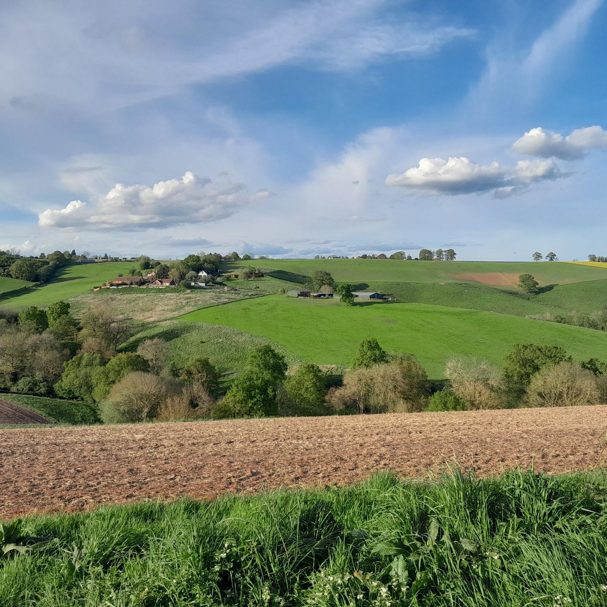
Quite a steep section, so be prepared. Fantastic panorama on the top (top of Abberley Hill can be climbed along the Worcestershire Way, but cycling isn't allowed there).
0
0


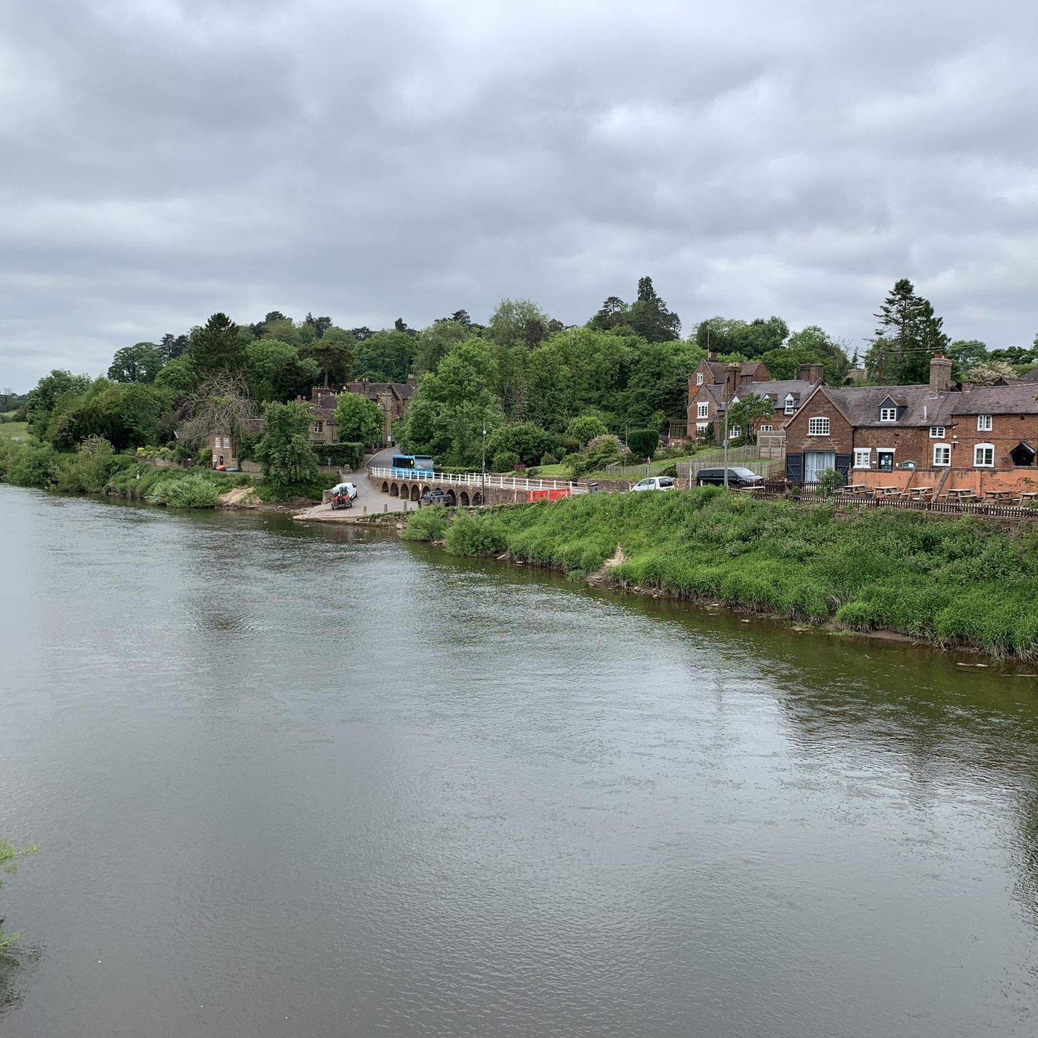
Bewdley was once an important inland port, connecting Shrewsbury with the Midlands and the seaports of Gloucester and Bristol. Originally the quays were shorter and had slipways between them. In time, as more landing space was needed, the quayside walls were joined into one continuous length. The larger boats, known as Severn Trows, carried local goods such as rope and charcoal, metal goods from Birmingham and Staffordshire pottery to the south. They returned laden with woollen cloth, wine, spirits, tobacco, sugar, spices, citrus fruit and dried fish to be sold in market towns across the West Midlands and Welsh borders. This civic space was developed when the Environment Agency built the Town's new flood defences, and incorporates work by artist Elizabeth-Jane Grose. On the lower quayside you can find flowing words relating to the river and the vessels that worked on it. On the upper quayside have a look for the 'cargo-plates' recording forty of the common and less common exports and imports to the Port of Bewdley. Source: Environment Agency
0
0
Frequently Asked Questions
How many touring cycling routes are available around Rock?
There are over 170 touring cycling routes available around Rock, offering a wide variety of options for different skill levels and preferences. The komoot community has explored these routes over 1,100 times.
What is the typical terrain like for touring cyclists in the Rock area?
The terrain around Rock is primarily characterized by extensive woodlands, such as the Wyre Forest, and paths along former railway lines. You can expect generally gentle undulations, with some routes incorporating moderate climbs, providing a mix of natural landscapes and accessible paths.
Are there routes suitable for beginners or families?
Yes, Rock offers several easy touring cycling routes perfect for beginners and families. For instance, the Wyre Forest Wooden Bridge – Wyre Forest loop from Bliss Gate is an easy 4.7-mile (7.6 km) trail that takes about 40 minutes to complete. Another family-friendly option is the Butterfly Trail – Route 45 Old Railway Line loop from Bewdley, which is also rated as easy.
Can I find more challenging touring routes around Rock?
Yes, for those seeking a more challenging ride, Rock also has moderate and difficult touring cycling routes. There are 86 moderate and 61 difficult routes available. An example of a moderate route is the Wyre Forest – Wyre Forest Wooden Bridge loop from Pound Bank(K'minster)-Council Houses, which is 10.7 miles (17.3 km) long and explores varied landscapes.
Are there any circular touring routes in the Rock region?
Many of the touring cycling routes around Rock are designed as loops, allowing you to start and end at the same point. Examples include the Wyre Forest Wooden Bridge – Wyre Forest loop from Bliss Gate and the Wyre Forest Wooden Bridge – Bewdley Bridge loop from Stourport-on-Severn.
What kind of natural features or landmarks can I expect to see along the routes?
The Rock area is rich in natural beauty and historical landmarks. Along your rides, you might encounter natural monuments like the Worcestershire Natural Flood Management Project – Leaky Dams in Wyre Forest or the intriguing Redstone Caves. Other points of interest include Ruskin Land and Prior's Mill and Weir.
Are there good viewpoints along the cycling routes?
Yes, the region offers several spots with scenic views. One notable viewpoint is the Walsgrove Hill Summit View, which provides expansive vistas of the surrounding landscape, perfect for a break during your ride.
Is it possible to bring my dog on touring cycling routes near Rock?
While specific regulations for each route vary, many trails in natural areas like the Wyre Forest are generally dog-friendly, especially if dogs are kept on a lead. It's always recommended to check local signage or specific route descriptions for any restrictions before heading out with your canine companion.
What are the parking options for cyclists in the Rock area?
Parking is generally available at popular starting points for many routes, particularly near trailheads in areas like Wyre Forest and around towns such as Bewdley. Look for designated car parks which often cater to visitors exploring the natural attractions.
How can I reach the Rock area by public transport for cycling?
Public transport options to the Rock area typically involve bus services connecting from larger towns like Kidderminster or Bewdley. Some routes may be accessible directly from public transport stops, allowing you to start your ride without a car. Always check current timetables and bicycle carriage policies of local transport providers.
Are there cafes or pubs along the touring cycling routes?
Yes, you'll find various cafes and pubs in the towns and villages surrounding the cycling routes, such as Bewdley. Some routes may pass directly by establishments like the area around Bewdley Bridge, offering convenient stops for refreshments and meals.
What is the best time of year for touring cycling around Rock?
The spring and autumn months generally offer the most pleasant conditions for touring cycling around Rock, with milder temperatures and beautiful scenery as the woodlands change colors. Summer can also be enjoyable, though it can be busier. Winter rides are possible but require appropriate gear for colder, potentially wetter weather.
Do I need any permits for cycling in the Rock area?
Generally, no specific permits are required for touring cycling on public rights of way and designated cycle paths in the Rock area, including within the Wyre Forest. However, always respect private land and any specific local regulations or signage you may encounter.
What do other cyclists say about touring in Rock?
The touring cycling routes around Rock are highly rated by the komoot community, with an average score of 4.05 stars from over 70 reviews. Cyclists often praise the quiet, scenic woodlands, the well-maintained paths, and the variety of routes suitable for different abilities.
Most popular routes around Rock
Most popular attractions around Rock

Get inspired with the komoot mobile app


Explore more
Browse the best Cycling routes in other regions.
