The best MTB trails around Zell am Pettenfirst
4.5
(1198)
5,303
riders
411
rides
Mountain bike trails around Zell am Pettenfirst offer a diverse landscape for riders. The region is characterized by rolling hills, dense woodlands, and elevated viewpoints, including observation towers and summits, providing varied terrain for mountain biking. These physical features contribute to a network of trails that range from gentle forest paths to more challenging ascents. The area's topography ensures a mix of gradients and scenic outlooks throughout the routes.
Best mountain bike trails in Zell am Pettenfirst
- The most popular…
Last updated: October 8, 2026
4.6
(18)
46
riders
Moderate mountain bike ride. Good fitness required. Suitable for all skill levels.
4.2
(13)
40
riders
44.9km
04:01
920m
920m
Hard mountain bike ride. Very good fitness required. Advanced riding skills necessary. Some portions of the route may require you to push your bike.

4.5
(8)
34
riders
47.9km
04:14
760m
760m
Moderate mountain bike ride. Good fitness required. Advanced riding skills necessary.
4.6
(5)
27
riders
37.6km
02:19
350m
360m
Moderate mountain bike ride. Good fitness required. Advanced riding skills necessary.
4.8
(10)
19
riders
Moderate mountain bike ride. Good fitness required. Advanced riding skills necessary.
Get access to more routes and recommendations from other explorers.
Already have an account?
Our route recommendations are based on thousands of hikes, rides, and runs completed by other people on komoot.
Start today with a free account
Your next adventure awaits.
Tips from the Community

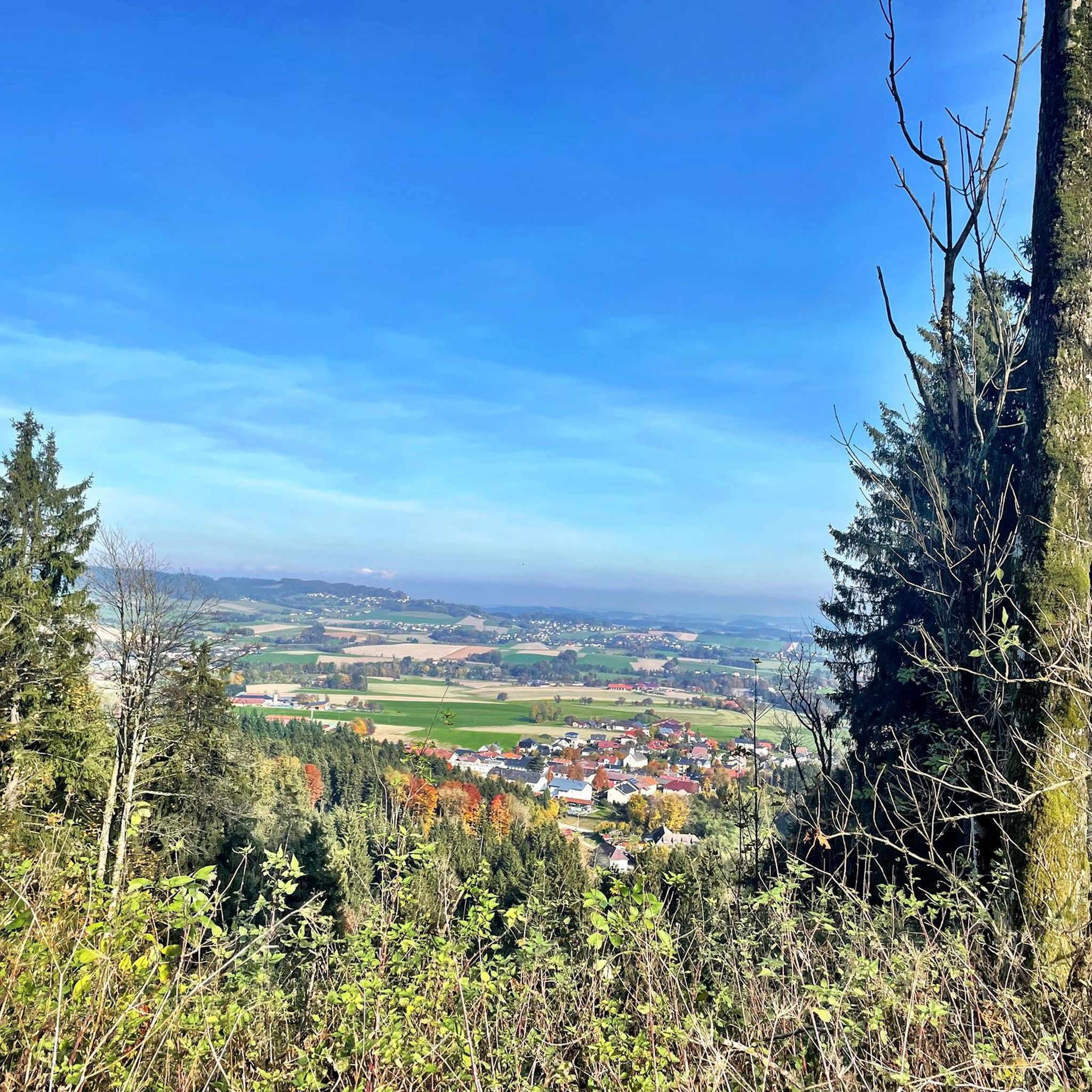
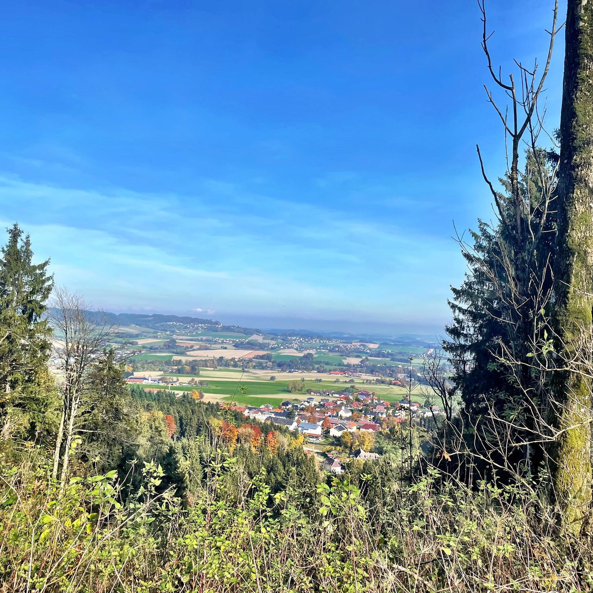
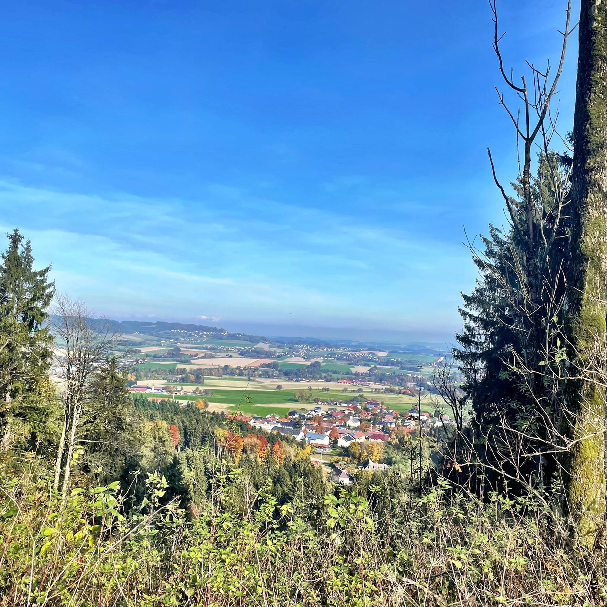
Good viewpoint with a clear view, further up there are usually too many trees
0
0
Good viewpoint with an open view, at the top of Rothauptberg the trees are growing in front of the view
0
0
The path and the view over the orchards (Wine??) are quite beautiful 😉 But Ried im Innkreis is very far away, you are located south of Ampflwang in the Hausruckwald 🧐
0
0
tricky hiking trail, because in addition to large roots, there is also coarse washed-out gravel with fist-sized loose pebbles in the rather steep track
0
0
This is also a perfect route for the ascent, coming from Lukasberg/Eitzing - a continuously well-drivable gravel road with moderate incline
0
0

🚴♂️ I take a break here on almost every tour – for me, the Kellerbier is one of the best unfiltered beers in Upper Austria. The brewery is a perfect stopover on a bike tour through the Hausruckviertel. After the tour, Brauhaus Zipf invites you to stop in – whether with a hearty Brettljause or a freshly tapped Kellerbier (for those who have already finished their tour 😉).
0
0
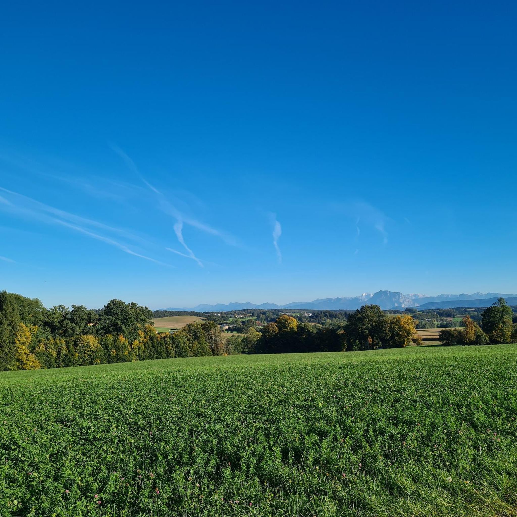
Göblberg lookout tower – One of the most beautiful viewpoints in the Hausruckviertel Anyone who simply drives past here misses out on one of the region's most beautiful panoramas. After climbing the wooden tower, a breathtaking 360° panoramic view opens up in clear weather – from the Höllengebirge, Traunstein, Dachstein and the peaks of the Salzkammergut, far into the Alpine foothills. The tower is located at an altitude of 790 m and is easily accessible by both bicycle and on foot. Quiet forest paths and forest roads around the Göblberg invite you to a relaxing tour. A unique atmosphere prevails here, especially at sunrise or sunset. 💡 My tip: Take a few minutes and definitely climb up – the view is worth every single step! With föhn wind or clear autumn air, the view often extends for many kilometers to the Alps.
0
0

View of the Salzkammergut
0
0
Frequently Asked Questions
How many mountain bike trails are available in Zell am Pettenfirst?
There are over 400 mountain bike trails around Zell am Pettenfirst, offering a wide range of options for different skill levels and preferences.
What kind of terrain can I expect on mountain bike trails in Zell am Pettenfirst?
The region is characterized by rolling hills, dense woodlands, and elevated viewpoints. You'll encounter a mix of gradients, from gentle forest paths to more challenging ascents, providing varied terrain throughout the routes.
Are there easy mountain bike trails suitable for beginners in Zell am Pettenfirst?
Yes, Zell am Pettenfirst offers over 80 easy mountain bike trails. These routes are generally less demanding, making them suitable for beginners or those looking for a relaxed ride. For example, the Göblberg Observation Tower – Hubertus Chapel loop from Ampflwang im Hausruckwald is a moderate option that is well-regarded.
Can I find challenging mountain bike routes for experienced riders?
Absolutely. There are nearly 80 difficult mountain bike trails in the area for experienced riders seeking a challenge. A notable difficult route is the Lederer Kopf Summit (742 m) – Haager Observation Tower loop from Bergern, which includes a summit ascent and panoramic views.
Are there mountain bike trails that are circular routes?
Many of the mountain bike trails in Zell am Pettenfirst are designed as circular routes, allowing you to start and end at the same point. The Badger pass – View of the Alps loop from Ampflwang is a popular example, leading through varied terrain with distant views.
When is the best time of year for mountain biking in Zell am Pettenfirst?
The best time for mountain biking in Zell am Pettenfirst is typically from spring to autumn, when the weather is mild and the trails are dry. Summer offers lush green landscapes, while autumn provides beautiful foliage. Always check local weather conditions before heading out.
Are there mountain bike trails with good viewpoints in Zell am Pettenfirst?
Yes, the region is known for its elevated viewpoints. Many trails offer scenic outlooks, including observation towers and summits. The Göblberg Observation Tower and Lederer Kopf Summit are popular spots for panoramic views along the routes.
What do other mountain bikers enjoy most about mountain biking in Zell am Pettenfirst?
The mountain bike trails in Zell am Pettenfirst are highly rated by the komoot community, with an average score of 4.6 stars from over 1000 reviews. Riders often praise the diverse landscape, the mix of rolling hills and dense forests, and the rewarding scenic viewpoints.
Are there places to eat or rest along the mountain bike trails?
Yes, you can find several huts and snack stations along or near the trails. Options like the Pettenfirst Hut, Malvent Snack Station, and Pausenstation Muatsdrawig & Waldschule offer opportunities for a break and refreshments.
Are there any interesting landmarks or attractions to see while mountain biking?
Beyond the natural beauty, you can encounter several landmarks. The Göblberg Observation Tower and Lederer Kopf Summit are prominent features. The region also has various other peaks like Geispiel Summit (559 m) and Hengstberg Summit Cross (883 m) that offer points of interest.
How long do mountain bike trails typically take to complete in Zell am Pettenfirst?
Trail durations vary significantly based on distance and difficulty. For instance, a moderate 12.9-mile (20.8 km) loop like the Göblberg Observation Tower – Hubertus Chapel loop from Ampflwang im Hausruckwald can take around 1 hour 54 minutes, while longer routes such as the View of the Alps – Hausruckwald Circular Hiking Trail loop from Ampflwang (37.5 km) might take over 2 hours.
Is there parking available at the trailheads?
While specific parking information for each trailhead is best checked on individual route pages, many popular starting points in regions like Zell am Pettenfirst typically offer designated parking areas for outdoor enthusiasts. It's advisable to look for parking details on the specific komoot tour page before your ride.
Most popular routes around Zell am Pettenfirst
Most popular attractions around Zell am Pettenfirst

Get inspired with the komoot mobile app


Explore more
Browse the best MTB trails in other regions.
