The best walks and hikes around South Carlton
4.5
(284)
3,854
hikers
220
hikes
Hikes around South Carlton explore the gentle, rolling countryside of Lincolnshire. The region is characterized by level waterside paths along canals like the Fossdyke Navigation and easy-to-navigate public footpaths through surrounding farmland. These routes connect the village with nearby historic sites and nature areas, offering a mix of cultural and natural landscapes.
Best hiking trails around South Carlton
- The most popular hiking route is Fossdyke Navigation – Brayford Pool loop from Burton Waters, a 7.3 mile (11.8 km) trail…
Last updated: October 18, 2026
4.3
(3)
41
hikers
12.2km
03:05
30m
30m
Moderate hike. Good fitness required. Easily-accessible paths. Suitable for all skill levels.
25
hikers
5.05km
01:16
10m
10m
Easy hike. Great for any fitness level. Easily-accessible paths. Suitable for all skill levels.

9
hikers
Moderate hike. Good fitness required. Easily-accessible paths. Suitable for all skill levels.
5.0
(2)
8
hikers
13.6km
03:31
80m
80m
Moderate hike. Good fitness required. Easily-accessible paths. Suitable for all skill levels.
5.0
(2)
2
hikers
9.78km
02:29
30m
30m
Moderate hike. Good fitness required. Easily-accessible paths. Suitable for all skill levels.
Get access to more routes and recommendations from other explorers.
Already have an account?
Our route recommendations are based on thousands of hikes, rides, and runs completed by other people on komoot.
Start today with a free account
Your next adventure awaits.

Tips from the Community

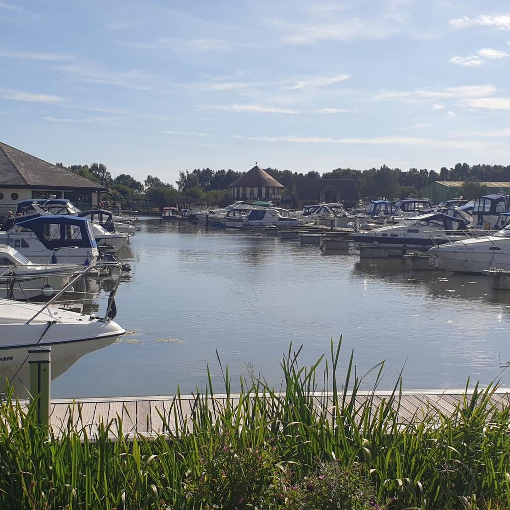
The path beside the Fossdyke has at one end the Brayford pool in Lincoln with pubs, restaurants and cinema. The route continues past the Pyewipe Inn, Beyond that is Burton Waters with the very popular Woodcocks. Further on is the village of Saxilby with its railway station.
1
0

narrow path here alongside a very busy main road - barriers either side though.
0
0

Description of gravel not accurate, at on point you have to cycle around the side of a wheat field, very rutted, also nettles about 3 feet high in places. When you turn of the road on the byway it is blocked across the field with electric fences for the horses. Not a very nice ride.
0
0

The High Bridge (Glory Hole) is a grade 1 listed stone bridge, it was built around 1160.
0
0
The Lincoln Canal, is also known as the Fossdyke Navigation, and passes through the centre of the city.
0
0

Lovely old church, nice place to take 5, before climbing up the hill.
0
0

A beautiful park to rest from all the walking or to seek shade under the trees when it is very hot in the summer
0
0
A great place to access this cycle route is the Park & Bike parking in Skellingthorpe.
0
1
Frequently Asked Questions
How difficult are the hiking trails around South Carlton?
The terrain around South Carlton is generally gentle and characterized by level waterside paths and farmland footpaths. Most routes are rated as easy or moderate, making the area accessible for various fitness levels. There are over 130 easy and 110 moderate trails to choose from, with very few difficult climbs.
Are there any good circular walks?
Yes, many trails in the area are circular. A great option for a shorter loop is the The Pyewipe Inn loop from Burton Waters. This easy 4.6 km walk is perfect for a quick outing and follows a straightforward path.
Can I bring my dog on the hikes?
Dogs are welcome on many public footpaths around South Carlton, especially on the open farmland and canal towpaths. However, you will likely cross fields with livestock, so it's essential to keep your dog on a lead and under control in these areas.
What are the best hikes for families with children?
The flat, easy-to-navigate paths make this region ideal for family walks. The Village Icon loop from South Carlton is a 7.2 km route that explores the immediate local landscape and is a manageable length for a family adventure.
Are there any walks that include a pub stop?
Several routes pass by traditional English pubs. The Pyewipe Inn is a well-known pub situated along the Fossdyke Canal, making it a convenient stop on many waterside walks in the area. Planning a route that incorporates a stop here is a popular choice for a rewarding break.
Where can I find free parking for the trails?
Many walks start from trailheads with dedicated parking. For example, the Riseholme Campus loop from Grange de Lings CP begins at a car park. You can also find on-street parking in villages like South Carlton, but please park considerately.
Can I reach the hiking trails using public transport?
Yes, the area is accessible via public transport. The nearby city of Lincoln has a central train station and bus services that connect to the surrounding villages. From there, you can access trailheads for routes like the Fossdyke Navigation – Brayford Pool loop from Burton Waters, which starts near the city.
What do other hikers think of the trails around South Carlton?
The area is highly rated by the komoot community, with an average score of 4.6 stars. Reviewers often praise the tranquil waterside paths along the Fossdyke Canal and the peaceful walks through open farmland.
Are there any long-distance paths in the region?
Yes, a section of the Viking Way, a 147-mile long-distance footpath, runs through Lincolnshire. You can hike a portion of this historic route, which passes through nearby villages and offers a chance to experience a classic English trail.
Are there any nature reserves or woodland walks nearby?
The region is rich in biodiversity. You can explore ancient woodlands like Willingham Woods and Chambers Farm Wood. For more information on protected areas, you can consult the list of Lincolnshire's National Nature Reserves.
What kind of scenery can I expect on the hikes?
The landscape is quintessential English countryside. Expect to see gentle rolling hills, serene waterways like the Fossdyke Canal, and expansive fields of farmland. On clearer days, you might even spot distant landmarks like the Claxby Radar Tower on the horizon from higher points in the Lincolnshire Wolds.
Are there any historical sites I can see on a walk?
Definitely. Many trails connect to the area's rich history. The St Peter's Church, Doddington – Doddington Hall and Gardens loop from Burton Waters is a longer hike that takes you past the impressive Doddington Hall, a late Elizabethan mansion.
Most popular attractions around South Carlton

Get inspired with the komoot mobile app


Explore more
Browse the best Hikes in other regions.
