The best road cycling routes around Zachenberg
4.7
(105)
1,956
riders
131
rides
Road cycling routes around Zachenberg traverse a landscape characterized by rolling hills, river valleys, and extensive forested areas. The region offers varied terrain suitable for road cyclists seeking both challenging climbs and scenic stretches. Routes often follow quiet country roads, providing views of the Bavarian Forest and its natural features. The elevation changes are consistent with a hilly environment, making it a suitable area for developing road cycling skills.
Best road cycling routes around Zachenberg
- The most popular road cycling route is View of Ulrichsberg – View of Greising loop from Ruhmannsfelden, a 39.1 miles (63.0 km) trail that takes 3 hours 29 minutes to complete. This difficult route features significant elevation gain and panoramic views.
- Another top favourite among local road cyclists is Market Square Fountain, Bodenmais – Zellertal Valley loop from Ruhmannsfelden, a difficult 44.7 miles (71.9 km) path. This route explores the Zellertal Valley, offering a mix of ascents and descents through rural scenery.
- Local road cyclists also love the Deggendorf Market Square – Egg Castle loop from Ruhmannsfelden, a 29.9 miles (48.2 km) trail leading through varied terrain, often completed in about 2 hours 30 minutes.
- Road cycling around Zachenberg is defined by rolling hills, river valleys, and forested slopes. The network offers options for easy, moderate, and difficult routes, catering to various ability levels.
- The routes in Zachenberg are highly rated by the komoot community with an average score of 4.7 stars from over 90 reviews. More than 1,700 road cyclists have used komoot to explore Zachenberg's varied terrain.
Last updated: July 6, 2026
4.8
(9)
70
riders
61.8km
03:26
1,310m
1,310m
Hard road ride. Very good fitness required. Mostly well-paved surfaces and easy to ride.
5.0
(1)
29
riders
71.9km
03:37
1,090m
1,090m
Hard road ride. Very good fitness required. Mostly well-paved surfaces and easy to ride.

Sign up for free
5.0
(3)
44
riders
48.2km
02:32
770m
770m
Moderate road ride. Good fitness required. Mostly well-paved surfaces and easy to ride.
40
riders
Moderate road ride. Good fitness required. Mostly well-paved surfaces and easy to ride.
3.7
(3)
20
riders
Moderate road ride. Good fitness required. Some segments of this route may be unpaved and difficult to ride.
Get access to more routes and recommendations from other explorers.
Sign up for free
Already have an account?
Our route recommendations are based on thousands of hikes, rides, and runs completed by other people on komoot.
Start today with a free account
Your next adventure awaits.
Login or Signup
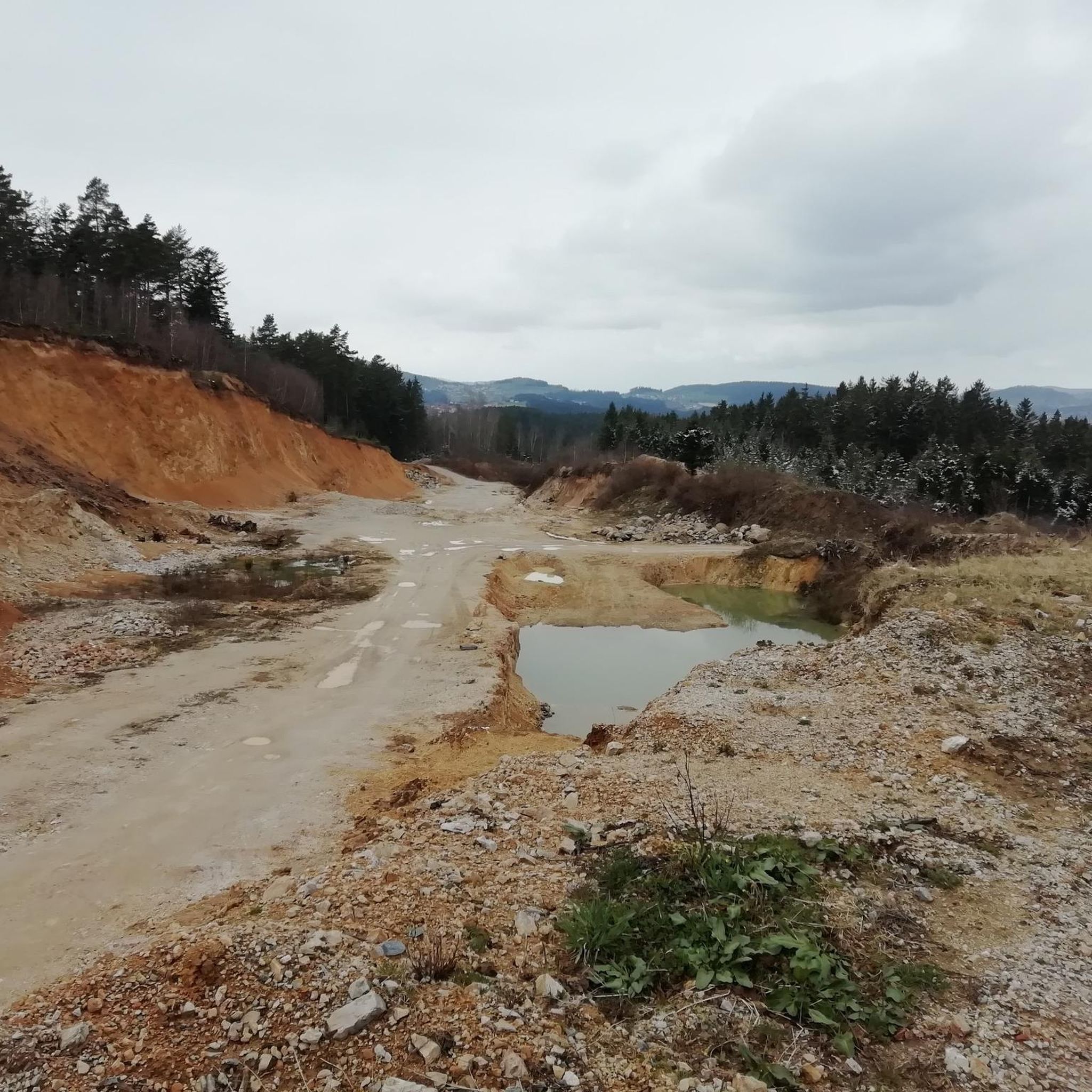
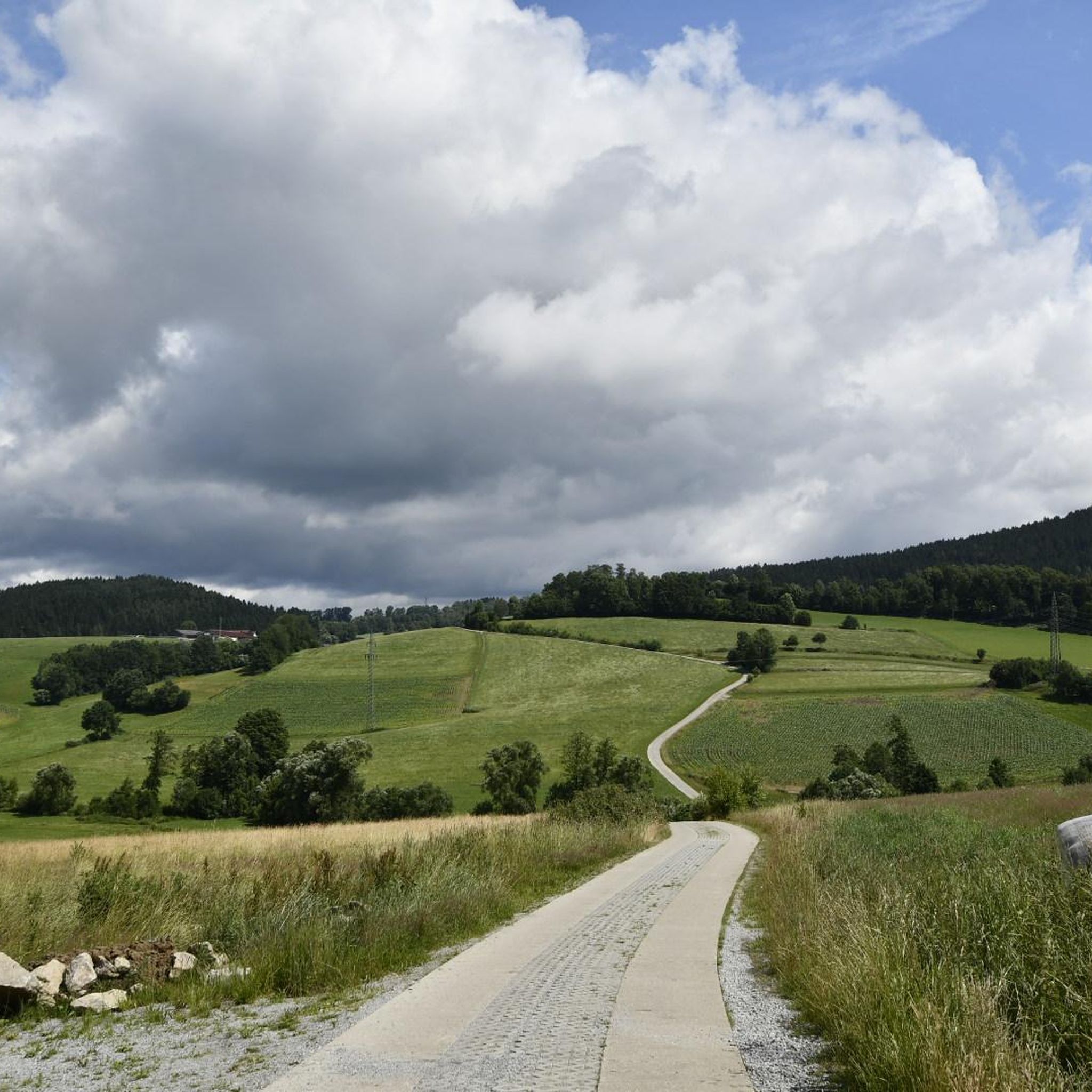
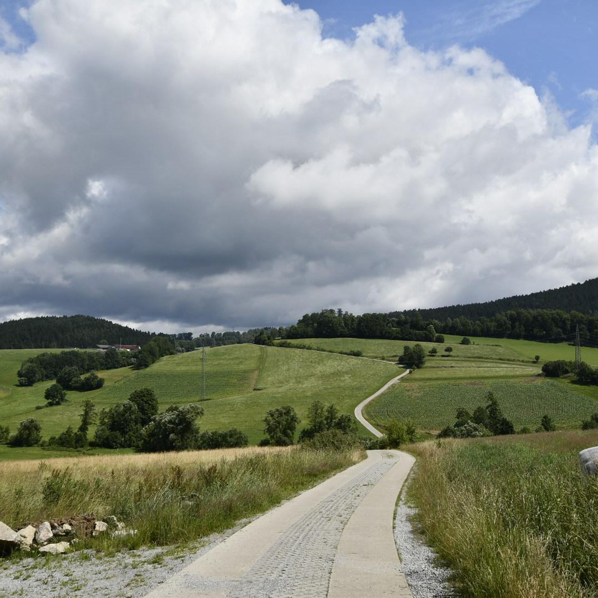
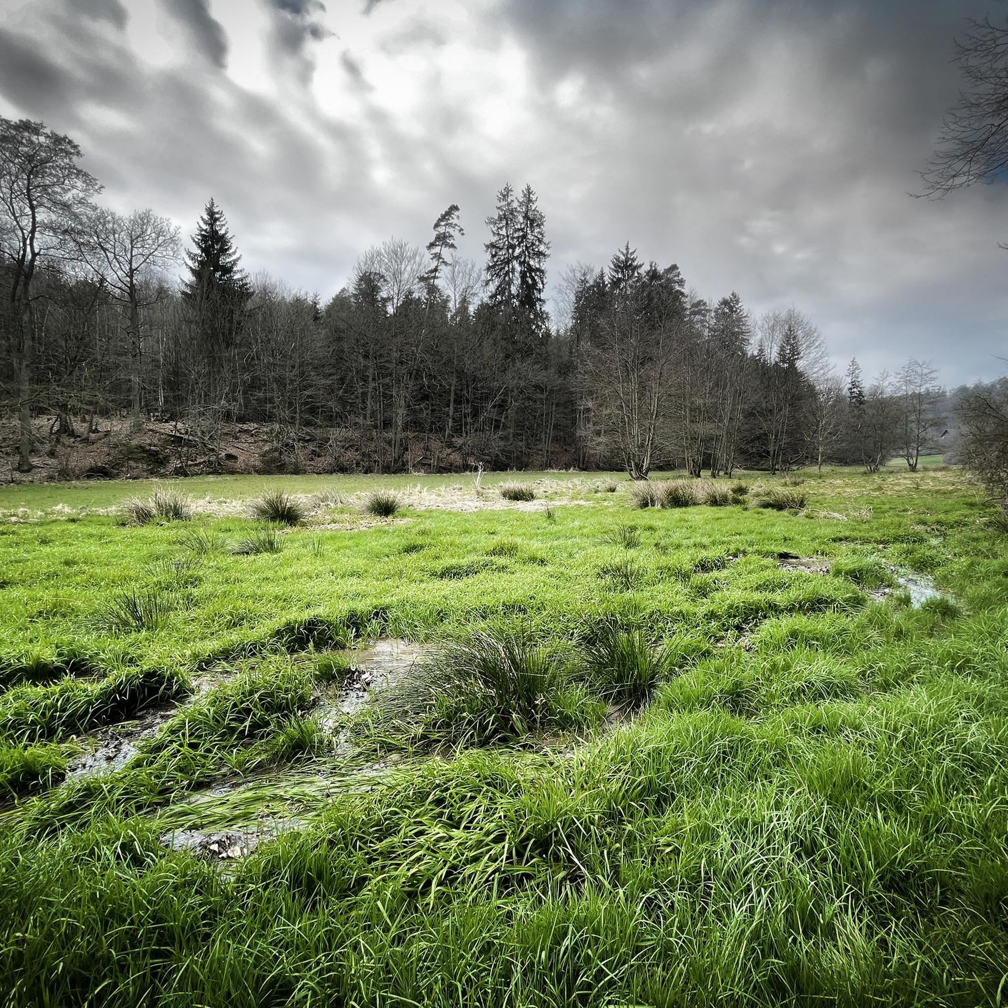
Tips from the Community

When the Föhn wind blows, you can see the peaks of the Alps here.
1
0


Located on the edge of the park
0
0

Free parking, where else can you find something like that 👍
1
0

Nice parking lot perfect for hiking tours in Bavarian Canada even with toilet
1
0

Beautiful view with beer garden behind the church
0
0

Large, free parking lot. Very good starting point.
1
0

A very fine area with many hidden facets and scenic surprises
0
0
Frequently Asked Questions
What kind of terrain can I expect when road cycling in Zachenberg?
Road cycling routes around Zachenberg are characterized by rolling hills, river valleys, and extensive forested areas. The region offers varied terrain, including both challenging climbs and scenic stretches, making it suitable for developing road cycling skills.
Are there easy road cycling routes in Zachenberg suitable for beginners?
Yes, Zachenberg offers options for various ability levels. While many routes feature significant elevation, there are 2 easy routes available. The overall network includes 61 moderate and 66 difficult routes, ensuring there's something for every skill level.
What are the typical lengths of road cycling routes in Zachenberg?
Route lengths in Zachenberg vary, catering to different preferences. For example, the Deggendorf Market Square – Egg Castle loop from Ruhmannsfelden is about 48 km, while longer options like the Market Square Fountain, Bodenmais – Zellertal Valley loop from Ruhmannsfelden extend to nearly 72 km.
What kind of challenges can advanced road cyclists expect in Zachenberg?
Advanced road cyclists will find plenty of challenges in Zachenberg, with 66 difficult routes available. Many routes feature significant elevation gain, such as the View of Ulrichsberg – View of Greising loop from Ruhmannsfelden, which includes over 1300 meters of climbing over 63 km.
What do other road cyclists enjoy most about road cycling in Zachenberg?
The road cycling routes in Zachenberg are highly rated by the komoot community, with an average score of 4.7 stars from over 90 reviews. Reviewers often praise the varied terrain, panoramic views, and the quiet country roads that allow for an immersive experience in the Bavarian Forest.
Are there any circular road cycling routes in Zachenberg?
Yes, many of the road cycling routes in Zachenberg are designed as loops, offering convenient starting and ending points. Examples include the View of Altnußberg Castle – Schwarzer Regen loop from Zuckenried and the Old Town Hall, Deggendorf – Deggendorf Market Square loop from Ruhmannsfelden.
What are some scenic highlights I can see along road cycling routes in Zachenberg?
Road cycling routes in Zachenberg often pass through picturesque landscapes. You might encounter historical sites like the Altnußberg Castle Ruins or the impressive Egg Castle. For natural beauty, routes can offer views towards summits like Hirschenstein.
What is the best time of year for road cycling in Zachenberg?
The best time for road cycling in Zachenberg is typically from late spring through early autumn (May to October). During these months, the weather is generally milder, and the roads are clear of snow and ice, providing optimal conditions for exploring the region's varied terrain.
Are there any castles or historical sites accessible by road bike in the Zachenberg area?
Absolutely. The region is rich in history. You can cycle past the Altnußberg Castle Ruins, the Weißenstein Castle Ruins, or even the well-preserved Egg Castle. Many routes incorporate these historical landmarks into their scenic loops.
How many road cycling routes are available around Zachenberg?
There are over 120 road cycling routes available around Zachenberg on komoot. This extensive network provides numerous options for exploring the Bavarian Forest, from shorter, moderate rides to longer, more challenging tours.
Can I find routes that offer panoramic views in Zachenberg?
Yes, many road cycling routes in Zachenberg are known for their panoramic views, especially those that ascend to higher elevations. The View of Ulrichsberg – View of Greising loop from Ruhmannsfelden is a prime example, offering extensive vistas of the surrounding landscape.
Most popular routes around Zachenberg
Most popular attractions around Zachenberg

Get inspired with the komoot mobile app


Explore more
Browse the best Road cycling routes in other regions.
