The best road cycling routes around Würzweiler
4.5
(185)
2,004
riders
121
rides
Road cycling routes around Würzweiler are situated in the Donnersbergkreis district of Rhineland-Palatinate, Germany, offering a varied topography. The region is characterized by the Appelbach river valley and its proximity to the Donnersberg massif, the highest elevation in the Palatinate. This landscape provides a mix of gentle river routes and more challenging climbs through the hilly terrain of the "Westliche Donnersbergrandhöhen." The area features well-developed cycling infrastructure suitable for road bikes.
Best road cycling routes around Würzweiler
- The most popular…
Last updated: August 27, 2026
4.6
(5)
168
riders
62.8km
02:39
440m
440m
Moderate road ride. Good fitness required. Mostly well-paved surfaces and easy to ride.
4.0
(5)
88
riders
59.8km
02:33
470m
470m
Moderate road ride. Good fitness required. Mostly well-paved surfaces and easy to ride.

Sign up for free
3.0
(1)
37
riders
Moderate road ride. Great for any fitness level. Some segments of this route may be unpaved and difficult to ride.
5.0
(3)
26
riders
Easy road ride. Great for any fitness level. Mostly well-paved surfaces and easy to ride.
5.0
(1)
20
riders
Moderate road ride. Good fitness required. Mostly well-paved surfaces and easy to ride.
Get access to more routes and recommendations from other explorers.
Sign up for free
Already have an account?
Our route recommendations are based on thousands of hikes, rides, and runs completed by other people on komoot.
Start today with a free account
Your next adventure awaits.
Login or Signup
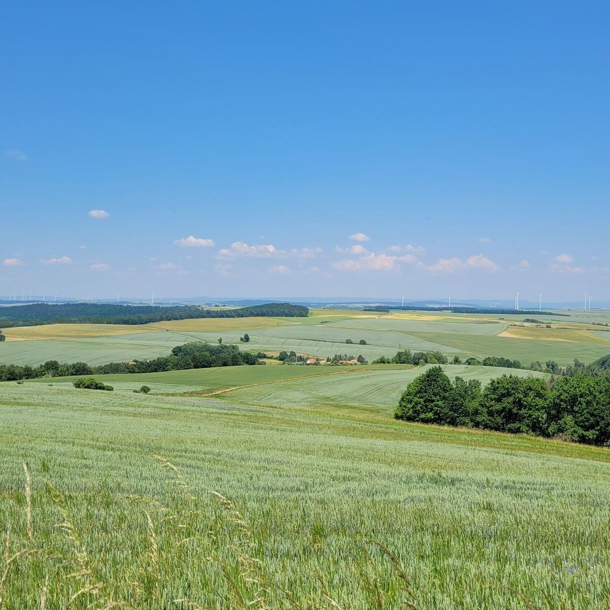
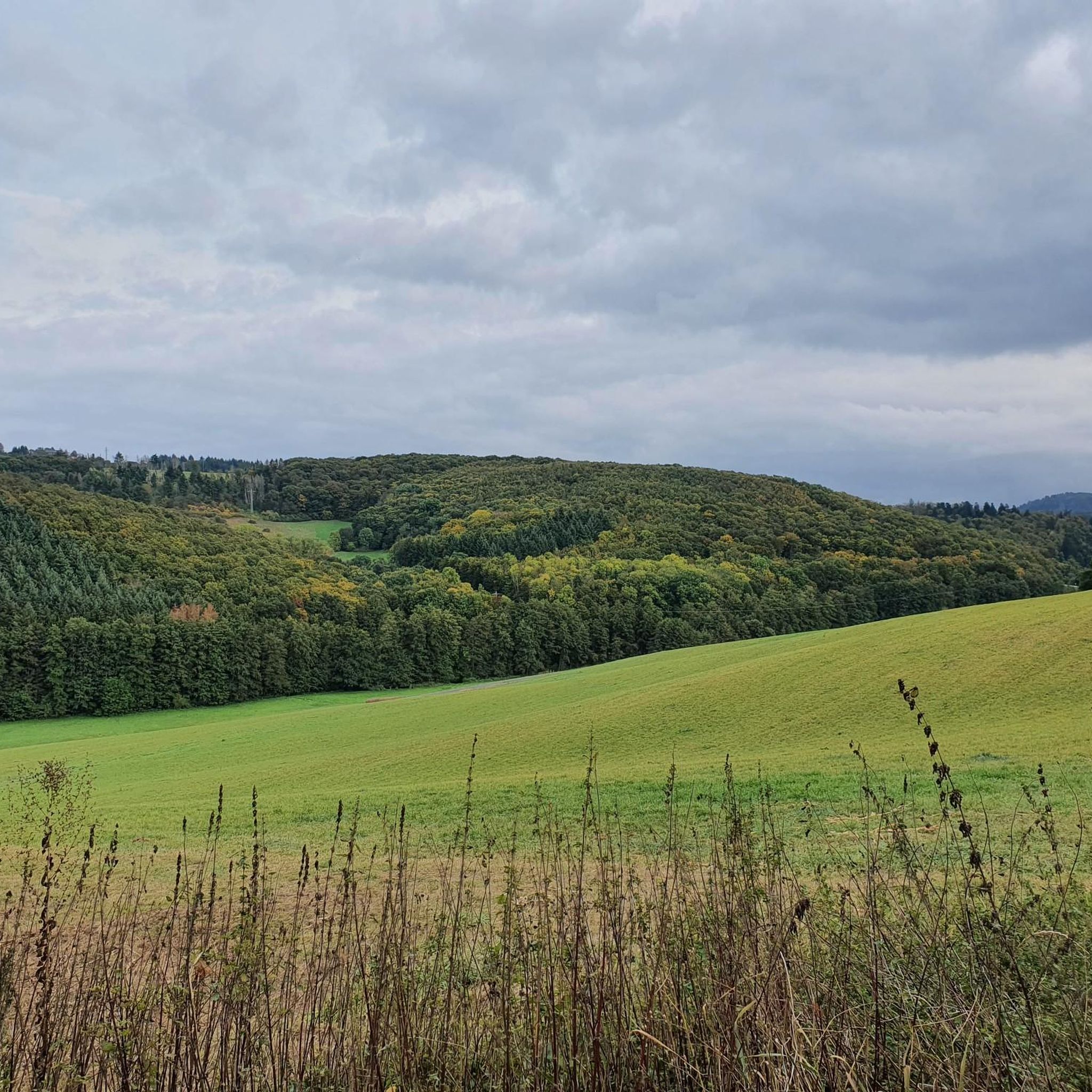
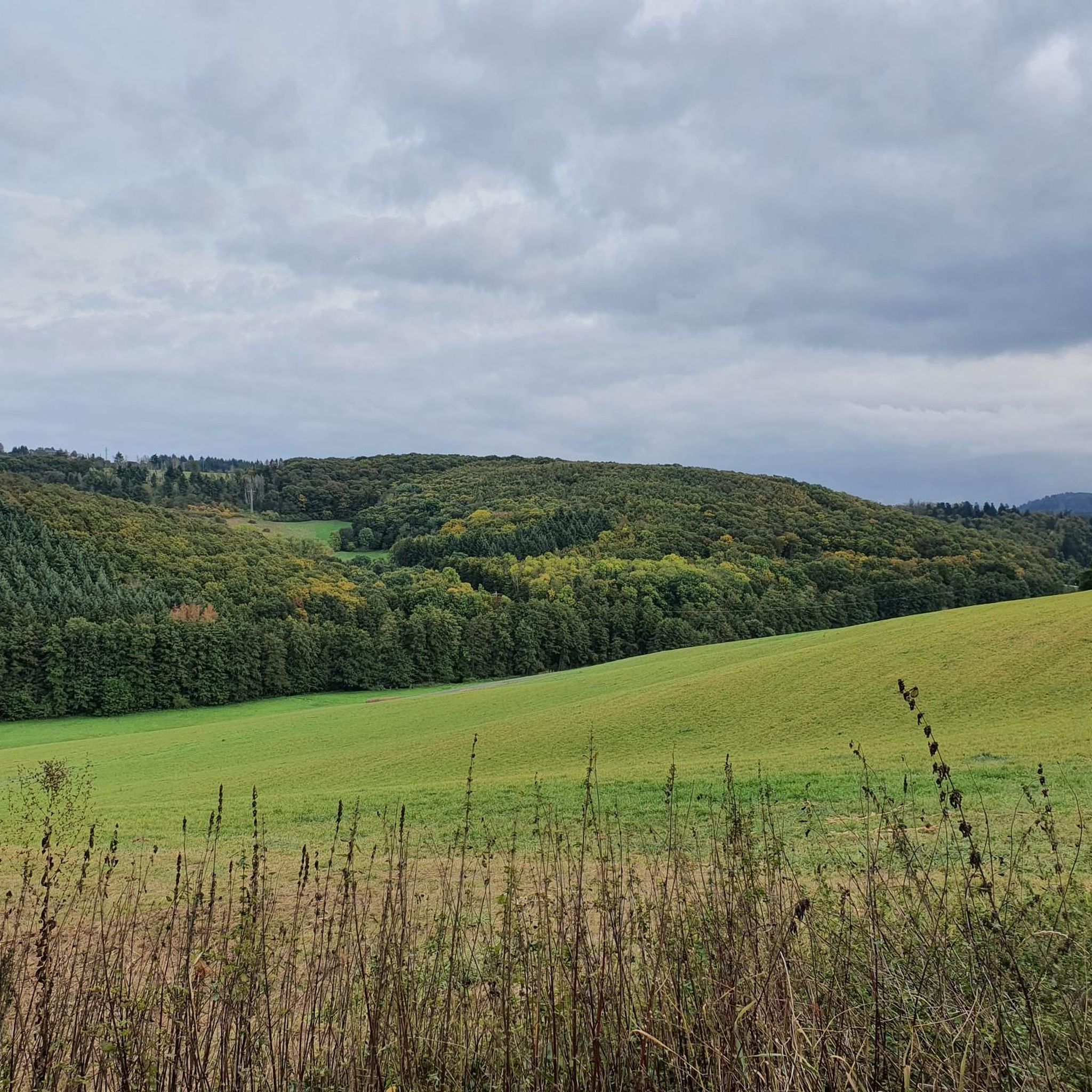
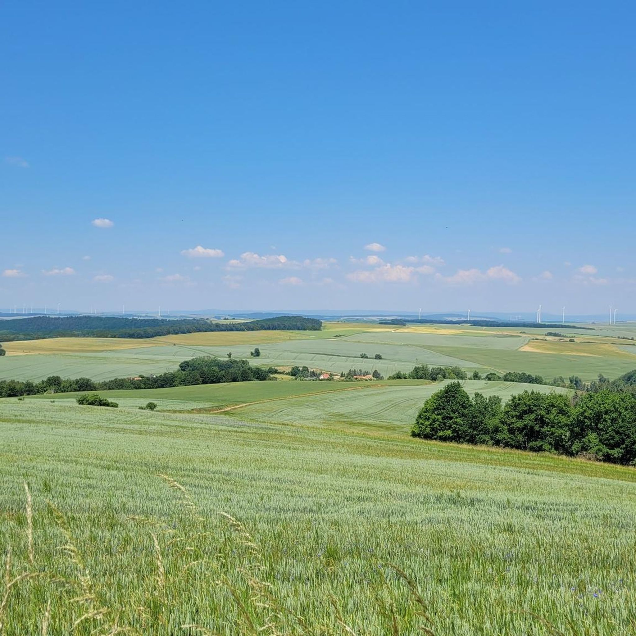
Tips from the Community

Beautiful cycle path without car traffic
0
0
Wide street with views and top surface
0
0

you can take funny photos
0
0
Ideal for a photo
0
1
It is worth going up to the Hochsteiner Kreuz
0
0

Super nice corner for biking
0
0
Made funny, it's an eye-catcher
0
0
Frequently Asked Questions
How many road cycling routes are available around Würzweiler?
There are over 120 road cycling routes around Würzweiler, offering a wide range of options for different skill levels. You'll find everything from easy rides along river valleys to challenging climbs in the hilly terrain.
What is the general difficulty level of road cycling routes around Würzweiler?
The routes around Würzweiler cater to various skill levels. While there are 12 easy routes, the majority (80) are considered moderate, and 34 are difficult. This mix allows for both relaxed rides and more demanding challenges, especially towards the Donnersberg massif.
What kind of terrain can I expect when road cycling around Würzweiler?
The terrain around Würzweiler is quite varied. You can expect gentle, mostly downhill sections along the Appelbach river, particularly when cycling north towards the Nahe valley. However, the region also features significant climbs, especially as you approach the Donnersberg, with some ascents reaching gradients of up to 13%. The area is characterized by a mix of river valleys and the hilly landscape of the "Westliche Donnersbergrandhöhen."
Are there any family-friendly road cycling routes in Würzweiler?
Yes, the Appelbach-Radweg, which runs directly through Würzweiler, offers a mostly downhill and easy route when cycled from the Donnersberg region towards the Nahe valley. This makes it particularly suitable for recreational cyclists and families looking for a less strenuous ride.
What interesting sights or landmarks can I see along road cycling routes near Würzweiler?
The region offers several points of interest. You can explore the Ruins of Falkenstein Castle or visit the Protestant Bell Tower in Falkenstein. The historic bell tower within Würzweiler itself is also a notable local landmark. Many routes also pass through picturesque vineyard landscapes and offer views of the River Nahe.
Are there any viewpoints offering panoramic views along the routes?
Absolutely. The proximity to the Donnersberg (686 meters), the highest peak in the Palatinate, means many routes offer breathtaking views. The summit, known as the Königsstuhl, provides expansive vistas. Additionally, the Adlerbogen viewpoint on the Donnersberg offers views over the Zellertal and Worms to the Odenwald. You can also find the Hirtenfels Viewpoint nearby.
What do other cyclists say about road cycling in Würzweiler?
The road cycling experience around Würzweiler is highly rated by the komoot community, with an average score of 4.6 stars from over 160 reviews. Cyclists often praise the varied terrain, from tranquil river valleys to challenging mountain ascents, and the scenic beauty of the region.
Are there options for e-biking in the Würzweiler area?
Yes, for those who prefer electric assistance to tackle the hilly terrain, an e-bike charging station is available directly in Würzweiler. This makes it convenient to explore the region's diverse landscapes with a bit of extra power.
Can I combine road cycling with other outdoor activities in Würzweiler?
Beyond road cycling, Würzweiler is an excellent base for other outdoor pursuits. The Pfälzer-Höhenweg, a long-distance hiking trail, passes through the village, offering extensive hiking options. The Donnersberg region also features numerous hiking trails of varying difficulty, allowing you to combine cycling with exploring on foot.
What are some longer distance road cycling options near Würzweiler?
For longer rides, consider routes like the Kurpark Bad Kreuznach – View of the River Nahe loop from Rockenhausen, which covers 63.3 km. Another option is the View of the River Nahe – View of Rotenfels loop from Rockenhausen, a 66.5 km trail that leads through the Nahe river valley and past notable rock formations.
Are there any circular road cycling routes available?
Yes, many routes in the area are designed as loops. For instance, the Vineyards Near Münsterappel – Tiefenthaler Höfchen loop from Rockenhausen is a moderate 59.9 km path that takes you through vineyard landscapes and rolling hills, starting and ending in the same location.
Where can I find parking for road cycling routes in Würzweiler?
While specific parking areas for cyclists are not detailed, Würzweiler is a small village, and general parking is usually available. For routes starting from nearby towns like Rockenhausen, you would typically find parking facilities within those communities, often near the start points of popular trails.
Is public transport available to access cycling routes in Würzweiler?
Information on specific public transport links for cyclists to Würzweiler is limited. However, as part of the Donnersbergkreis district, regional bus services connect smaller towns and villages. It's advisable to check local transport schedules for routes that accommodate bicycles if you plan to use public transport to reach your starting point.
Most popular attractions around Würzweiler

Get inspired with the komoot mobile app


Explore more
Browse the best Road cycling routes in other regions.
