The best road cycling routes around Wurzbach
4.7
(151)
1,707
riders
15
rides
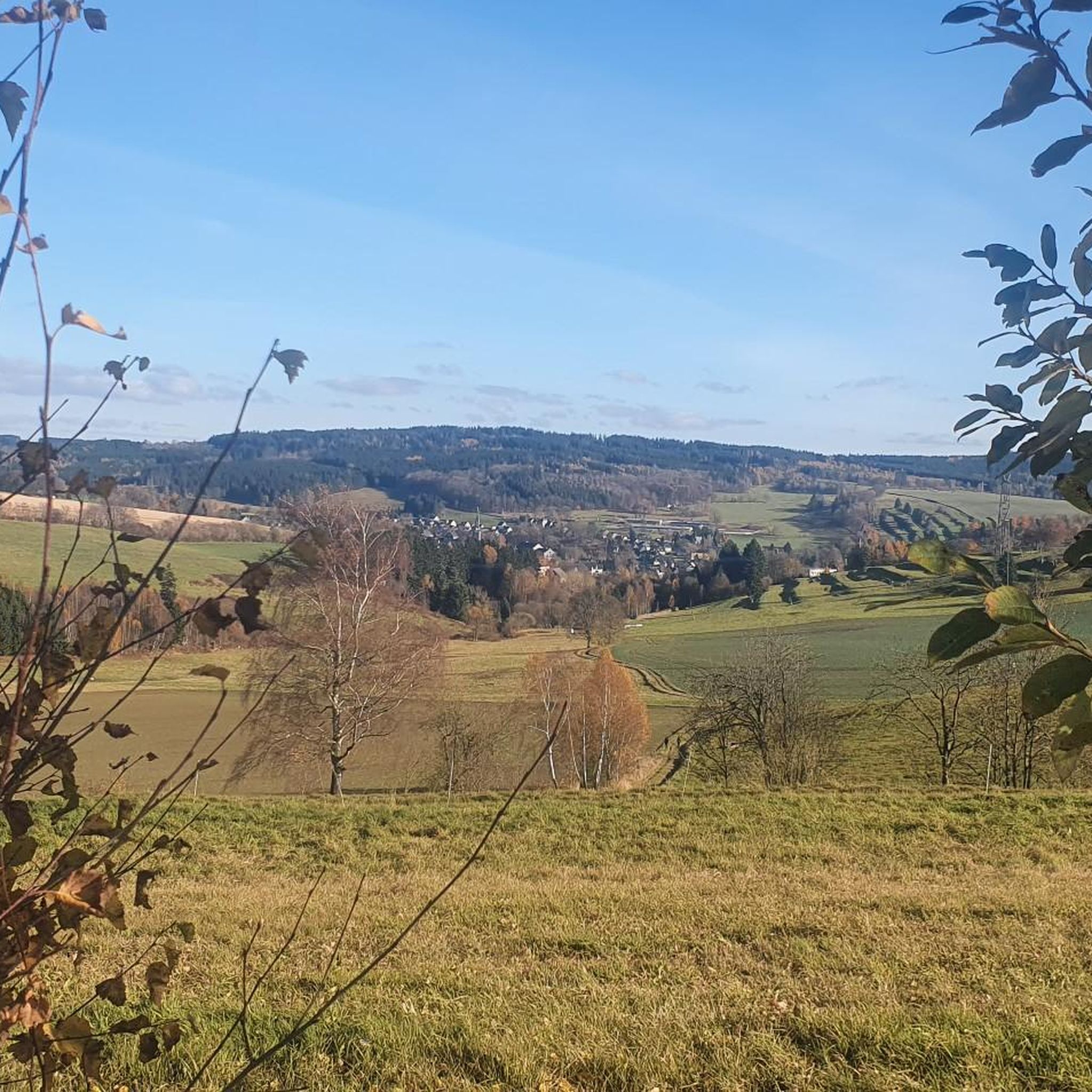
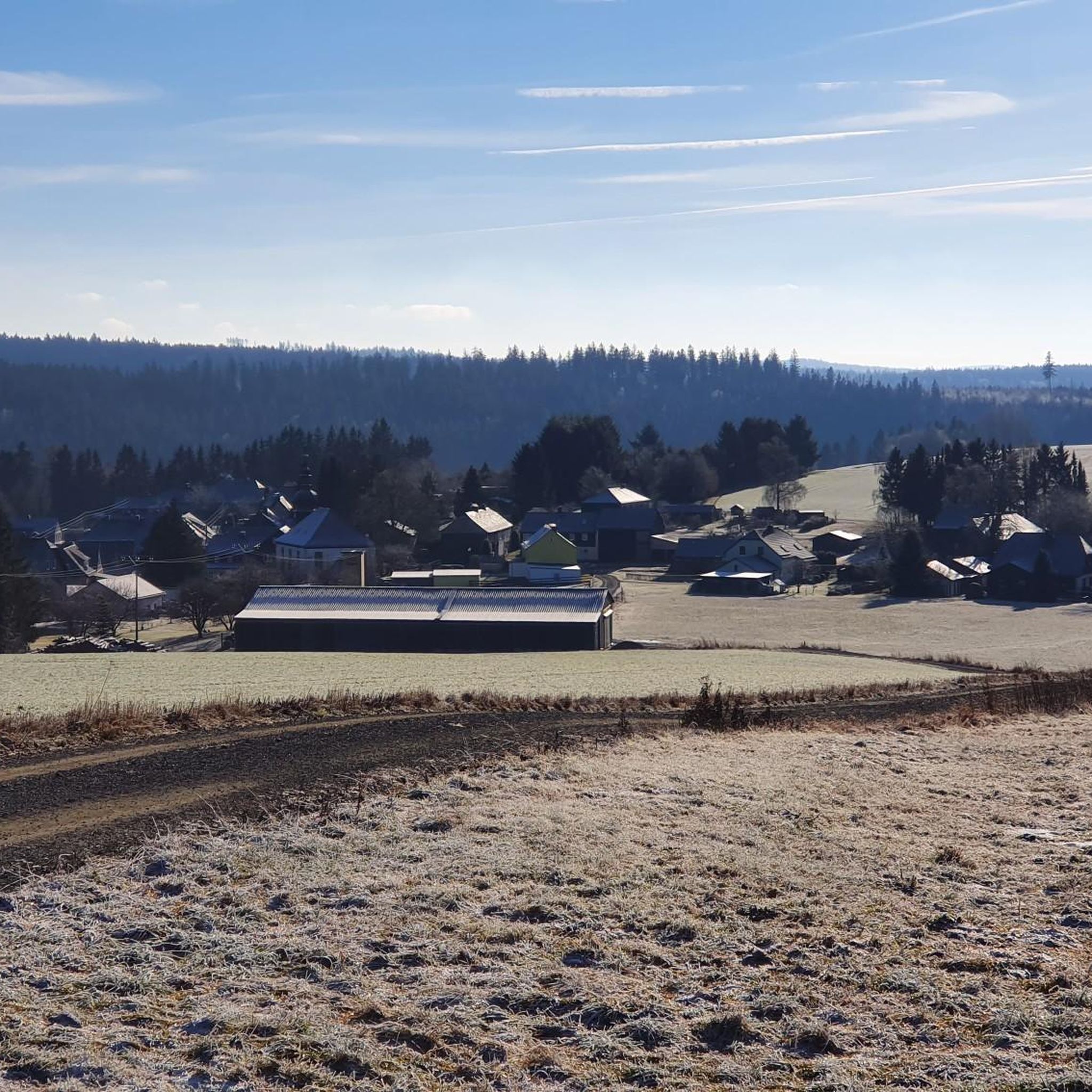
Road cycling routes around Wurzbach are characterized by a diverse landscape featuring woodlands, savannas, and extensive greenway systems. The region offers a network of paved trails that provide varied terrain, including sections with notable elevation changes. Road biking in Wurzbach features routes with significant elevation gain through varied landscapes. The area provides options for different ability levels, from moderate to difficult routes.
Best road cycling routes around Wurzbach
- The most popular road cycling route is Cycle Path Near Pressig –…
Last updated: July 9, 2026
19
riders
88.0km
04:28
1,190m
1,190m
Hard road ride. Very good fitness required. Some segments of this route may be unpaved and difficult to ride.
5.0
(1)
19
riders
90.2km
04:10
970m
970m
Hard road ride. Very good fitness required. Some segments of this route may be unpaved and difficult to ride.

Sign up for free
11
riders
88.5km
04:11
970m
970m
Hard road ride. Very good fitness required. Some segments of this route may be unpaved and difficult to ride.
5.0
(1)
8
riders
48.4km
02:26
790m
790m
Moderate road ride. Good fitness required. Mostly well-paved surfaces and easy to ride.
5
riders
Moderate road ride. Good fitness required. Mostly well-paved surfaces and easy to ride.
Get access to more routes and recommendations from other explorers.
Sign up for free
Already have an account?
Our route recommendations are based on thousands of hikes, rides, and runs completed by other people on komoot.
Start today with a free account
Your next adventure awaits.
Login or Signup
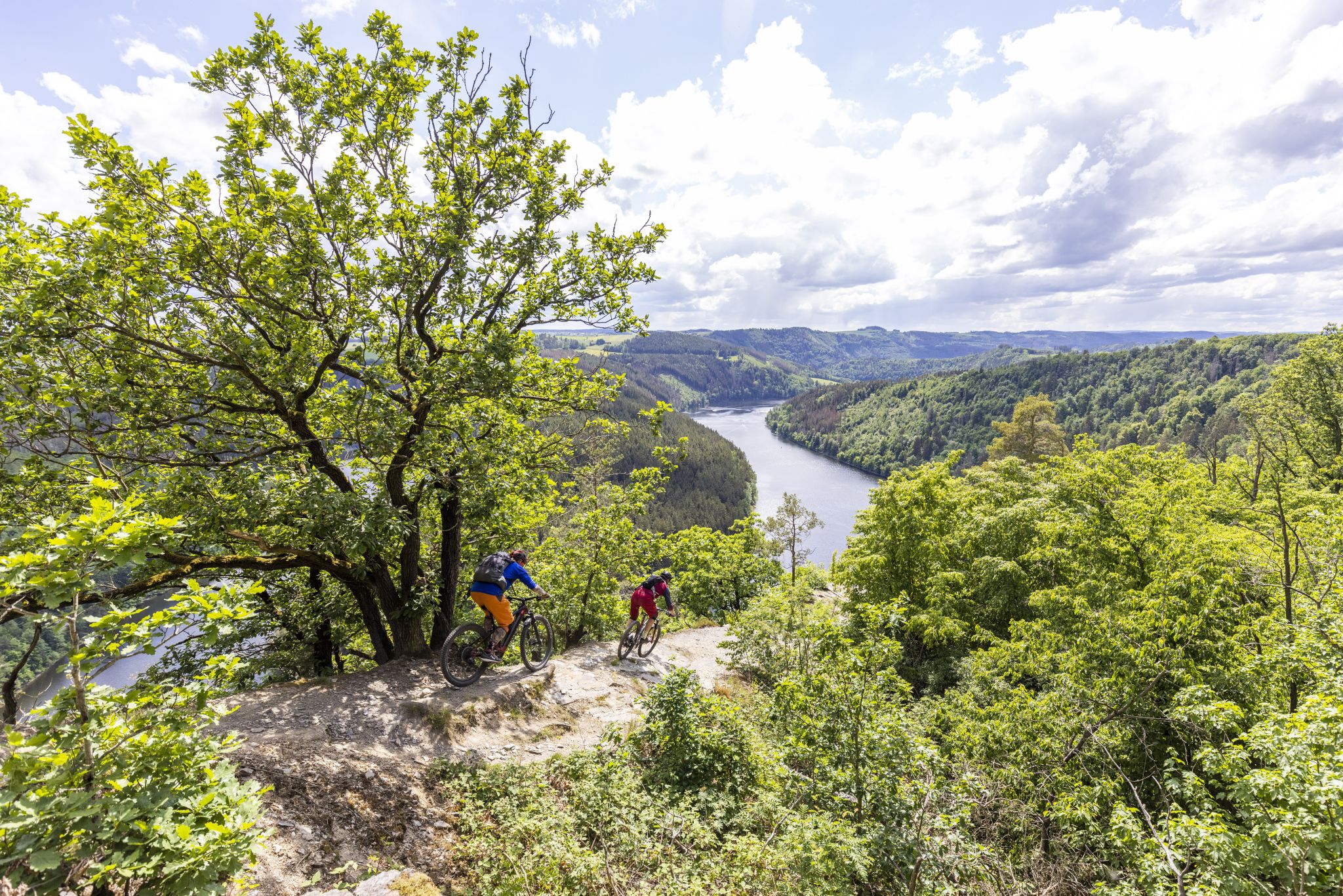
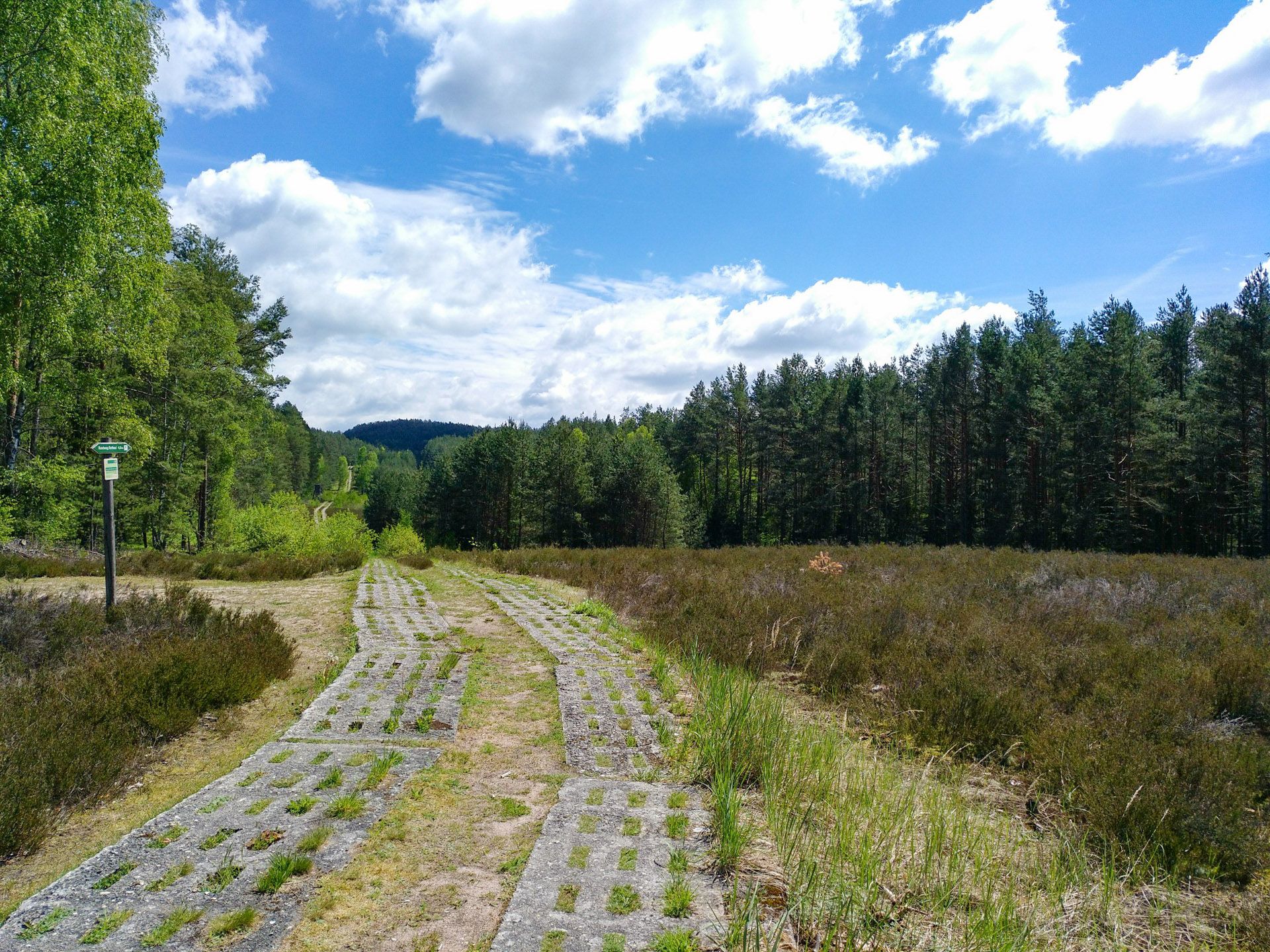
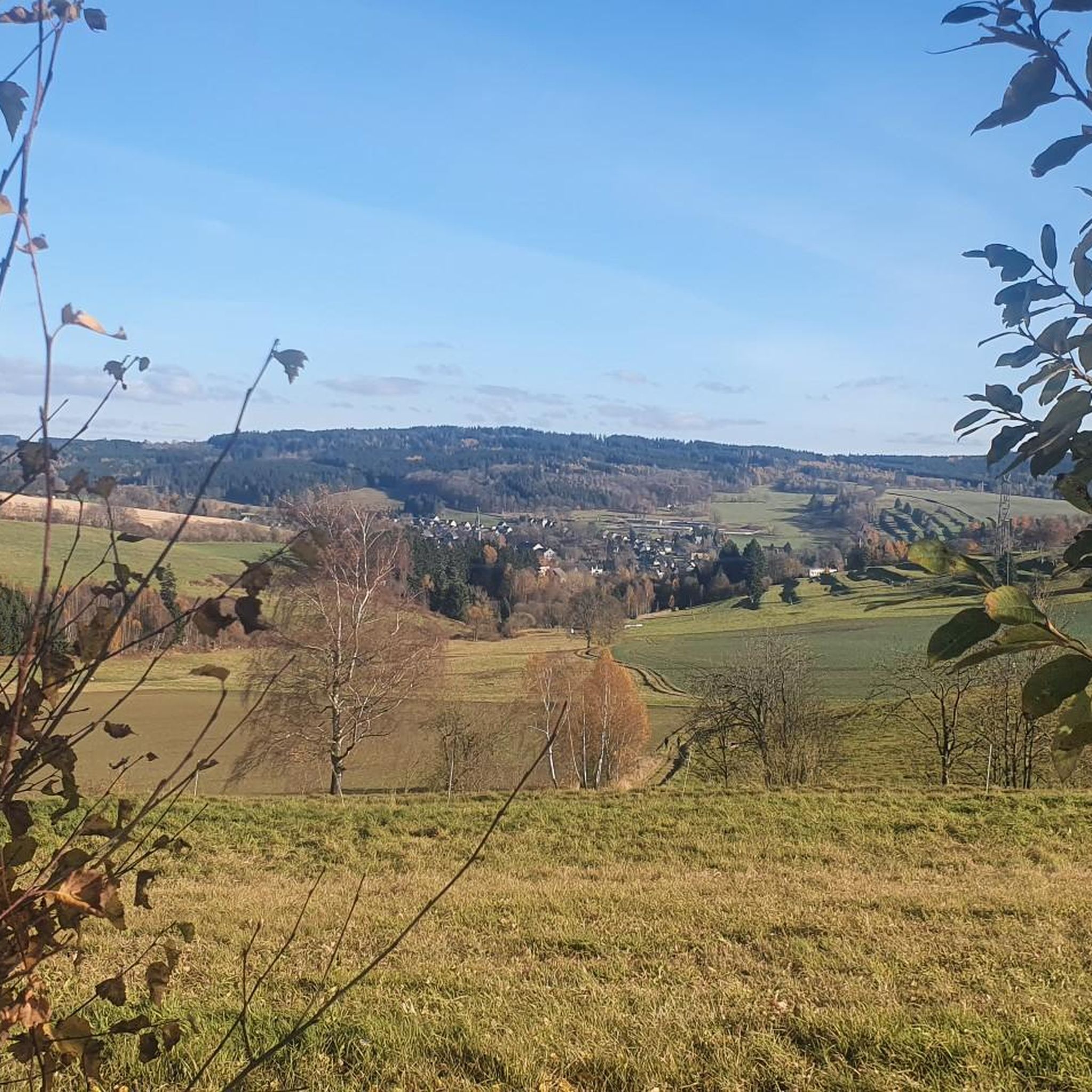
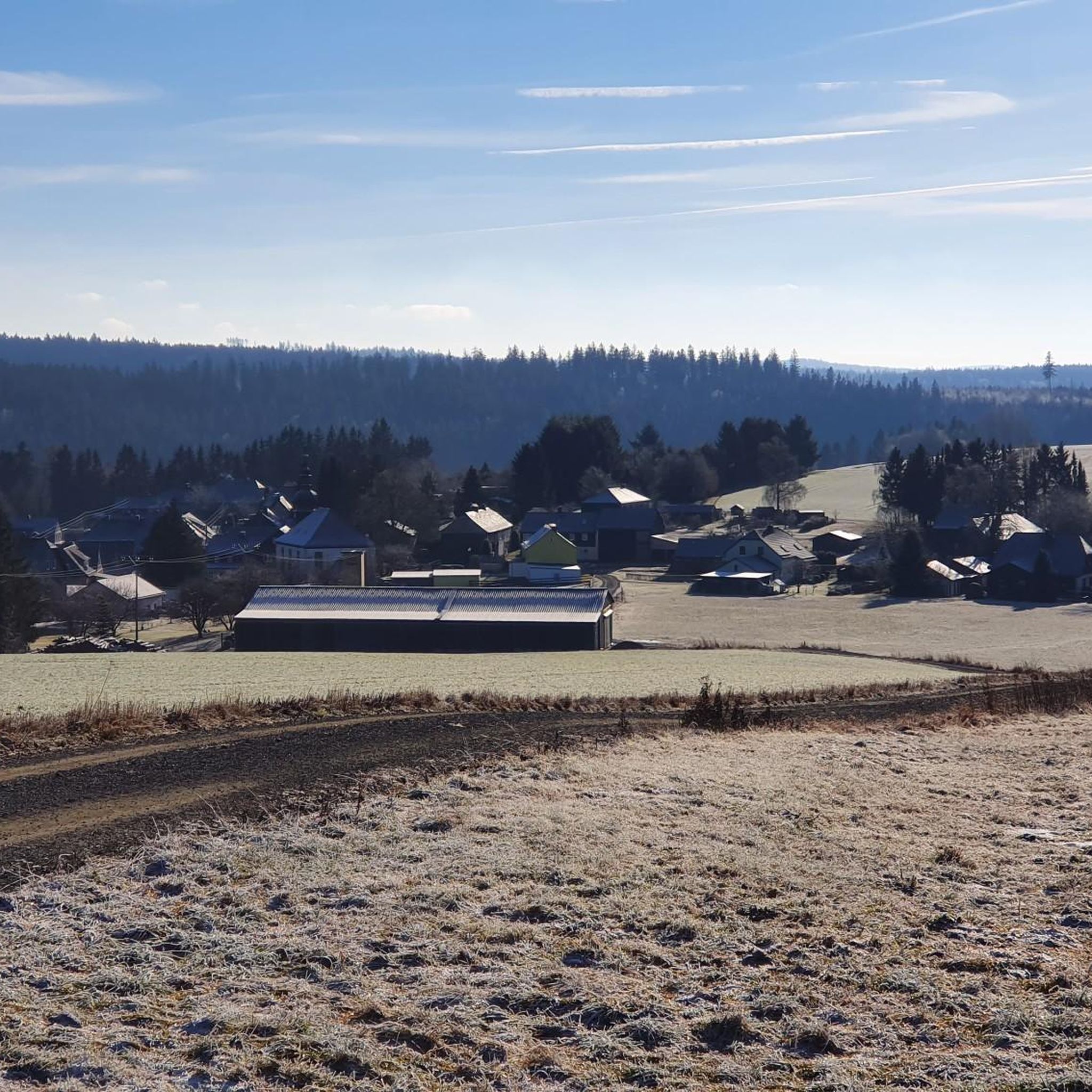



Tips from the Community

looks quite impressive.
0
0


It's a great place to take a break and the restaurants offer a wide range of food at reasonable prices.
4
0

Perfect tarmac. Things are going well here—at least downhill ;)
0
0

The church was built between 1812 and 1815 after a fire in the city. The rectangular hall church has the church tower in the west. The interior facing west has two-story galleries. It is covered with a flat ceiling. The church furnishings include a simple pulpit altar from the time of construction. A carved figure, created around 1510/12, shows Christ resting. It is attributed to Hans Gottwalt von Lohr from Saalfeld. Source: Wikipedia
10
0

Beautiful route at the Hohenwarte
0
0
Imbiss am Rennsteig near Spechtsbrunn
0
0
Beautiful castle on the mountain
0
0
Frequently Asked Questions
What is the general difficulty level of road cycling routes around Wurzbach?
Road cycling routes in Wurzbach are characterized by varied terrain with notable elevation changes. The region offers a mix of moderate and difficult routes, with 8 moderate and 7 difficult options available.
Are there any easy road cycling routes suitable for beginners in Wurzbach?
While Wurzbach offers a diverse landscape for road cycling, the routes are generally geared towards more experienced riders. All currently listed routes are either moderate or difficult, with no easy options specifically for beginners.
What are some of the most challenging road cycling routes in Wurzbach?
For experienced cyclists seeking a challenge, Wurzbach has several demanding routes. The Cycle Path Near Pressig – Cycle Path Along the Kronach loop from Wurzbach (Thür) is a difficult 88.1 km route with over 1100 meters of elevation gain. Another challenging option is the Hohenwarte Dam – Hohenwarte Dam loop from Wurzbach (Thür), covering 90.2 km with extensive climbs.
What are the longest road cycling routes around Wurzbach?
Among the longest routes in the area, the Hohenwarte Dam – Hohenwarte Dam loop from Wurzbach (Thür) spans 90.2 km, offering extensive riding. Another long option is the Cycle Path Near Pressig – Cycle Path Along the Kronach loop from Wurzbach (Thür) at 88.1 km.
Are there any loop road cycling trails in Wurzbach?
Yes, many of the road cycling routes around Wurzbach are designed as loops. Examples include the Posseck Climb (17%) – Cycle Path Near Pressig loop from Wurzbach (Thür) and the Slate architecture in Lehesten loop from Wurzbach (Thür), allowing you to start and finish in the same location.
What kind of scenery can I expect on road cycling routes in Wurzbach?
Road cycling in Wurzbach takes you through diverse landscapes, including woodlands, restored savannas, and extensive paved greenway systems. You can expect views of natural areas, and some routes, like the Hohenwarte Dam – Hohenwarte Dam loop from Wurzbach (Thür), offer views of the Hohenwarte Dam.
What are some interesting landmarks or attractions near the road cycling routes?
While cycling, you can explore nearby natural attractions. The region features several caves, such as the Blauer Löw Mine Entrance and the Rentschenbruch Slate Quarry. Additionally, the area is known for its gorges, including the scenic Höllental (Frankenwald Nature Park).
What do other road cyclists enjoy most about road cycling in Wurzbach?
The road cycling routes in Wurzbach are highly rated by the komoot community, with an average score of 4.8 stars from over 100 reviews. Cyclists often praise the varied terrain, the significant elevation gains that offer a good challenge, and the well-maintained paved greenways.
Is Wurzbach a good destination for family-friendly road cycling?
Given that all listed routes are categorized as moderate to difficult with significant elevation changes, Wurzbach's road cycling network is generally more suited for experienced adult cyclists rather than families with young children or those seeking very easy, flat rides.
What is the best time of year for road cycling in Wurzbach?
The best time for road cycling in Wurzbach is typically during the warmer months when the weather is stable and the roads are clear of ice and snow. Spring through early autumn offers the most favorable conditions to enjoy the diverse landscapes and challenging climbs.
Are there any quiet road cycling trails in Wurzbach to avoid crowds?
Wurzbach's road cycling routes traverse woodlands and savannas, often utilizing extensive greenway systems. While specific crowd levels can vary, the region's network provides opportunities to find quieter sections, especially on less-trafficked routes or during off-peak hours.
Are there any road cycling routes that pass by cafes or places to stop for refreshments?
While the guide does not specifically detail cafes along each route, many routes pass through or near smaller towns and villages where you can typically find local establishments for refreshments. Planning your route with potential stops in mind is recommended.
Most popular routes around Wurzbach
Most popular attractions around Wurzbach

Get inspired with the komoot mobile app


Explore more
Browse the best Road cycling routes in other regions.
