The best road cycling routes in the Waldviertel
4.5
(846)
15,172
riders
1,537
rides
Road cycling in the Waldviertel region features a diverse landscape characterized by rolling hills, river valleys, and extensive forests. The terrain includes both gentle riverside paths along the Danube and more challenging ascents towards historic castles and viewpoints. This area offers varied road surfaces suitable for different cycling preferences, from smooth country roads to routes with moderate climbs. The region's geography provides a mix of open agricultural land and shaded sections through wooded areas.
Best road cycling routes in the…
Last updated: October 18, 2026
4.4
(12)
199
riders
Moderate road ride. Good fitness required. Mostly well-paved surfaces and easy to ride.
4.4
(19)
308
riders
39.4km
01:42
260m
260m
Easy road ride. Great for any fitness level. Mostly well-paved surfaces and easy to ride.

4.7
(6)
329
riders
128km
05:54
1,480m
1,480m
Hard road ride. Very good fitness required. Some segments of this route may be unpaved and difficult to ride.
4.7
(7)
328
riders
87.8km
04:01
1,030m
1,030m
Hard road ride. Very good fitness required. Mostly well-paved surfaces and easy to ride.
3.7
(3)
124
riders
Moderate road ride. Good fitness required. Mostly well-paved surfaces and easy to ride.
5.0
(3)
142
riders
51.1km
02:17
480m
480m
Moderate road ride. Good fitness required. Some segments of this route may be unpaved and difficult to ride.
5.0
(2)
100
riders
50.9km
02:14
390m
390m
Moderate road ride. Good fitness required. Mostly well-paved surfaces and easy to ride.
4.5
(6)
128
riders
49.9km
02:25
670m
670m
Moderate road ride. Good fitness required. Mostly well-paved surfaces and easy to ride.
5.0
(3)
114
riders
Moderate road ride. Good fitness required. Some segments of this route may be unpaved and difficult to ride.
4.7
(3)
106
riders
48.2km
02:36
920m
920m
Hard road ride. Very good fitness required. Some segments of this route may be unpaved and difficult to ride.
Get access to more routes and recommendations from other explorers.
Already have an account?
Our route recommendations are based on thousands of hikes, rides, and runs completed by other people on komoot.
Start today with a free account
Your next adventure awaits.
Popular around Waldviertel
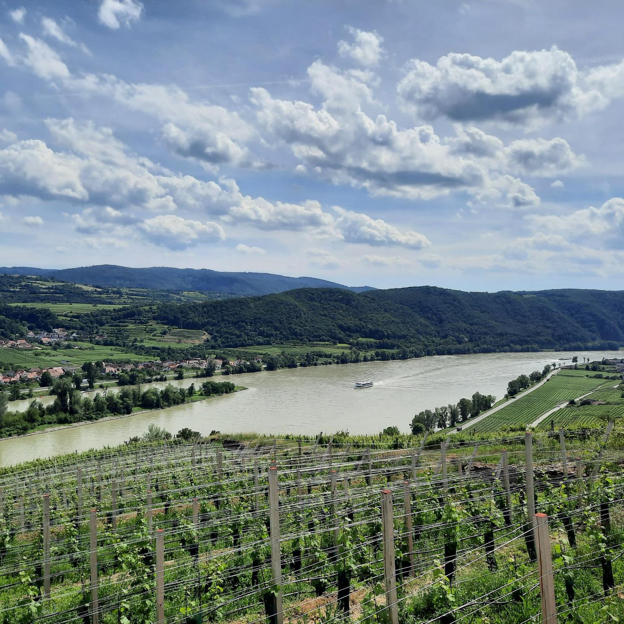
Road Cycling Routes in the Bezirk Krems
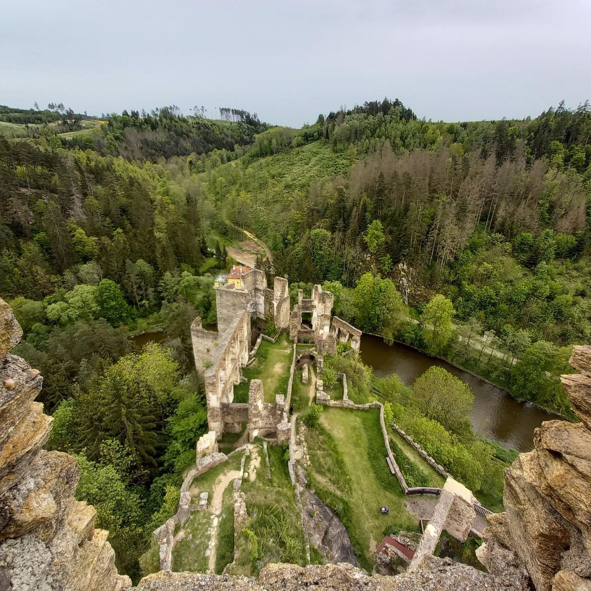
Road Cycling Routes in Bezirk Waidhofen an der Thaya
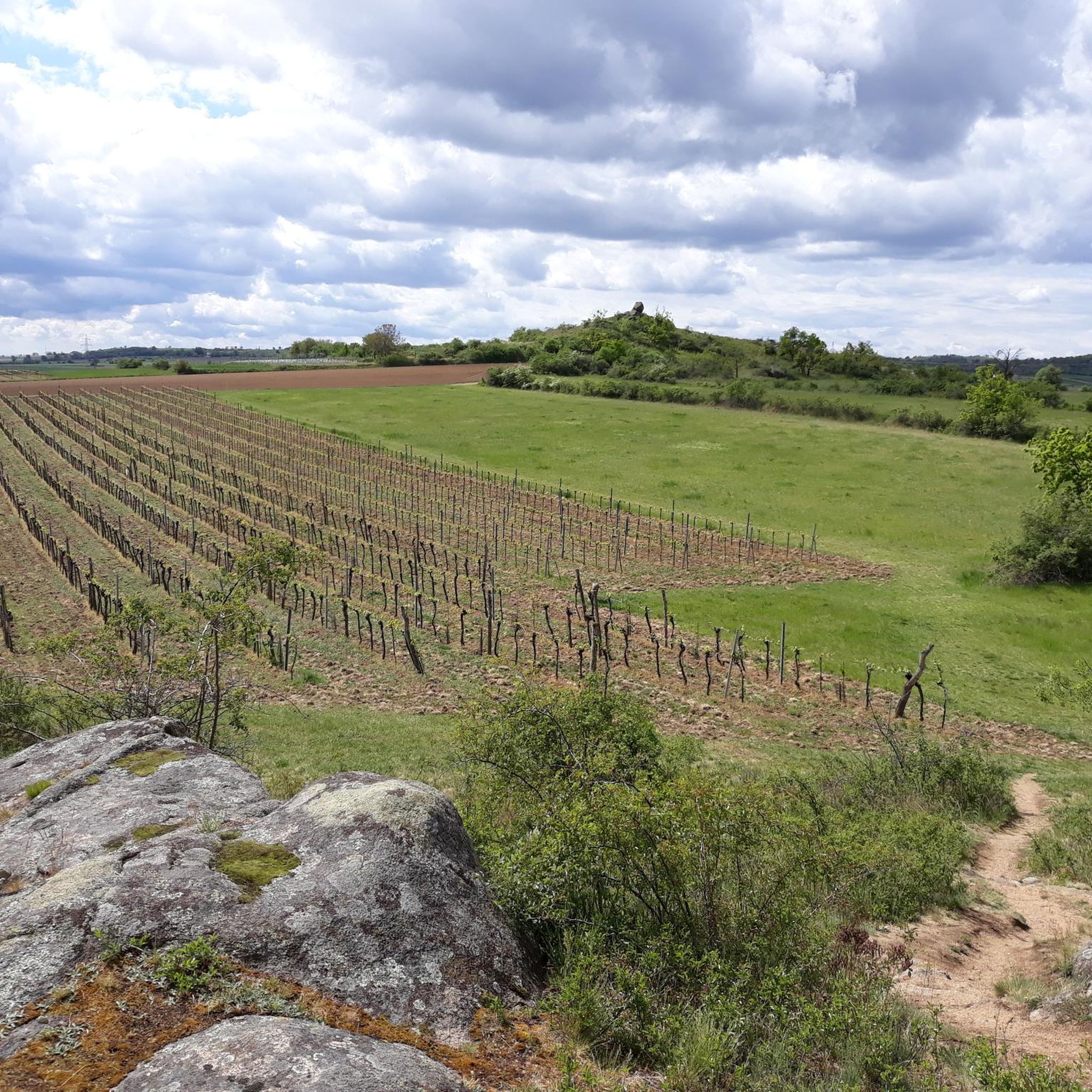
Road Cycling Routes in Bezirk Horn
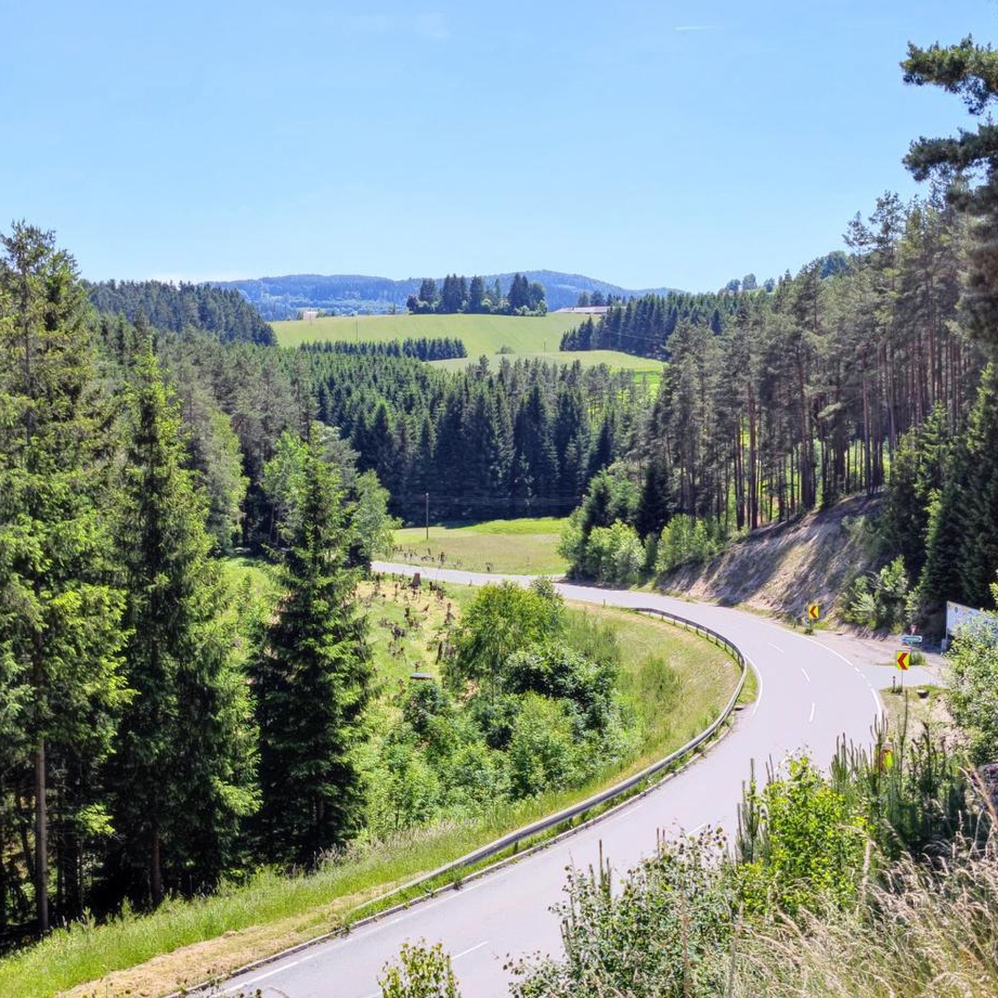
Road Cycling Routes in Zwettl
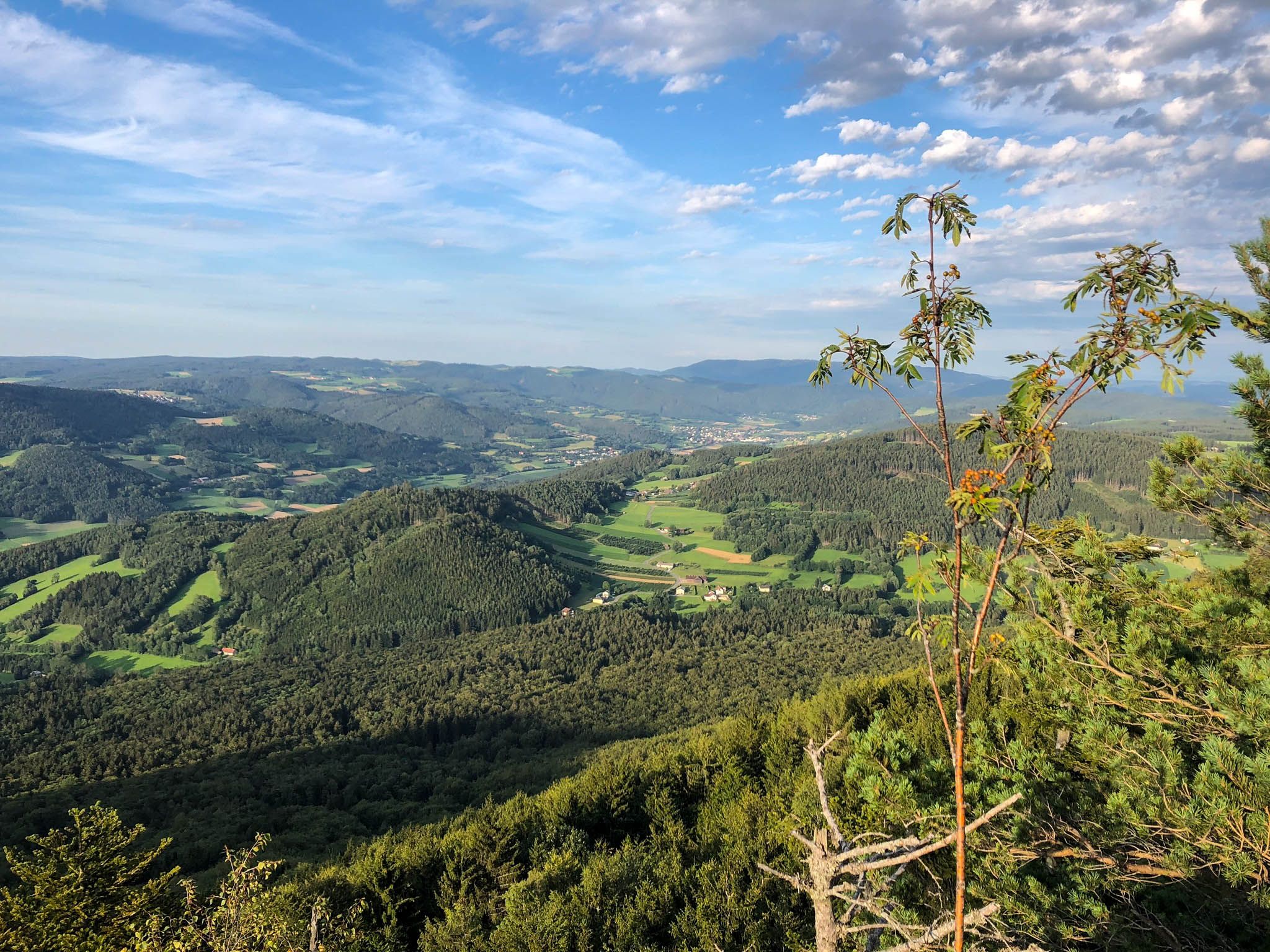
Ysper-Weitental circular hiking trail – Unwind in Austria

North-South Trail through Austria – Small country, big paths!

Nordwaldkamm trail – Hiking between the Czech Republic and Austria
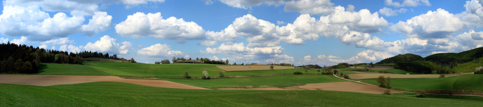
The Path of Life — A (spiritual) hike through northeastern Austria

Eisenwurzen Trail – Hiking through Austria from north to south
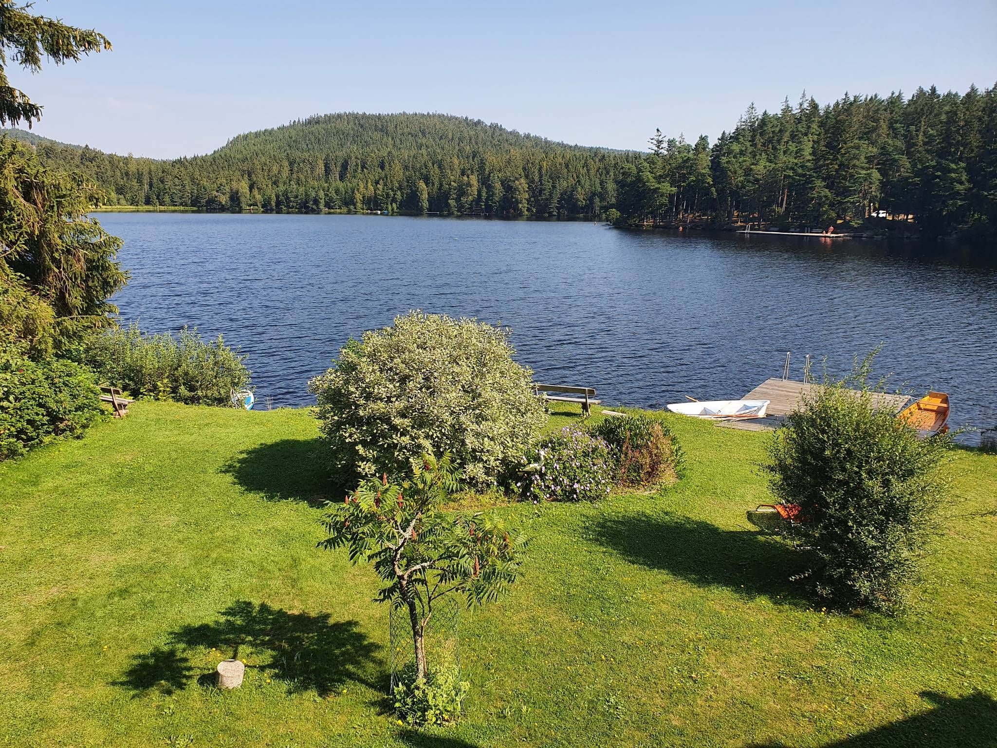
Kremstal Trail — Hiking along rivers through Lower Austria
Other adventures in the Waldviertel


Tips from the Community

beautiful church on the main square of Spitz
0
0

Here you can either ride up really tough or have a great descent to the Danube Cycle Path.
0
0

The Hinterhaus ruin, also called Oberhaus, is an almost thousand-year-old defensive structure in Spitz an der Donau, on an offshoot of the Jauerling. It was first mentioned in 1243. The ruin, located in the Wachau region, is situated near the "Tausendeimerberg", a vineyard that yields a certain amount of grapes each year, and on a rocky ridge of the so-called Hausberg, a part of the Jauerling massif.
0
0
Emmersdorf - the western gateway to the Wachau, directly opposite the imposing Melk Abbey. A convenient starting point for excursions into the Wachau, the Nibelungengau, the Waldviertel and the Mostviertel. Worth seeing: the castle church (medieval fortification), the late Gothic parish church and the St. Magdalene Chapel surrounded by old townhouses. Boat jetties in Emmersdorf and Luberegg for private boats, guest jetties in the sports harbour Luberegg, swimming, surfing and sailing in the Luberegg leisure facility, circular hiking trails, guided bike tours, fishing opportunities, tennis courts, campsite.
0
0
Gföhl was first mentioned in documents around 1180 and looks back on a long history as a market town and centre of the Waldviertel. The most important milestones Antiquity and settlement: Prehistoric finds (like from the Bronze Age) prove early traces of humans on the Gföhl plateau. Before German settlement from the 12th century onwards, there was a Slavic presence. First mention (1180): The place name is presumably derived from a topographical depression in the ground. Elevation to market town (1314/1493): In 1314, Gföhl is mentioned as a market town. In 1493, Emperor Frederick III granted the town official market rights and a coat of arms. War hardship and crises: In 1426, the Hussites destroyed the town and church. The population also suffered severely during the Peasants' War (1595) and the Thirty Years' War (1645), as well as from the plague (1679/1681).
0
0
flat cycle path along the Danube
0
0
In 1163, a Romanesque wooden chapel stood in the place, which was consecrated to the patron of the Niederalteich monastery. The present-day church is a significant work of the late Gothic period and rises with its mighty west tower on the present-day church square.
0
0
The parish church of Spitz, consecrated to Saint Mauritius, is a significant religious and cultural landmark of the region. This impressive church invites visitors to discover its magnificent architecture and rich history. Dedicated to Saint Mauritius, the parish church radiates an atmosphere of peace and spirituality that has impressed visitors for centuries.
0
0
Frequently Asked Questions
How many road cycling routes are available in the Waldviertel?
The Waldviertel region offers a wide selection of road cycling routes, with over 1,600 tours available on komoot. This includes a diverse range of options for various skill levels.
Are there easy road cycling routes suitable for beginners or families in the Waldviertel?
Yes, the Waldviertel has numerous easy road cycling routes. For instance, the Steiner Gate, Krems – Danube Riverside Cycle Path loop from Paudorf is an easy 24.6-mile (39.6 km) path that follows flat sections along the Danube, ideal for a relaxed ride.
What kind of terrain can I expect on road cycling routes in the Waldviertel?
The Waldviertel's road cycling routes feature a diverse landscape of rolling hills, river valleys, and extensive forests. You'll find a mix of gentle riverside paths, such as those along the Danube, and more challenging ascents towards historic castles and viewpoints. Road surfaces vary from smooth country roads to routes with moderate climbs.
Are there challenging road cycling routes for experienced riders?
Absolutely. For those seeking a challenge, the Waldviertel offers difficult routes with significant elevation gain. An example is the Drinking Water Fountain – Karlstein Castle loop from Litschau, a demanding 79.8-mile (128.5 km) route with over 1,480 meters of elevation gain.
What are some scenic highlights or landmarks I can see along the road cycling routes?
Many routes in the Waldviertel pass by historical and natural attractions. You can cycle past the Spitz on the Danube, explore the Dürnstein Castle Ruins, or ride through the picturesque Wachau Vineyards Route. The Steiner Tor – Senftenberg Castle Ruin loop from Spitz a.d. Donau offers views of both the Steiner Tor and castle ruins.
Are there long-distance road cycling options in the Waldviertel?
Yes, the Waldviertel provides options for longer road cycling tours. Routes like the Drinking Water Fountain – Karlstein Castle loop from Thaya cover approximately 54.7 miles (88 km), offering extended riding experiences through the region's diverse landscapes.
What do other road cyclists say about their experience in the Waldviertel?
The road cycling routes in the Waldviertel are highly rated by the komoot community, with an average score of 4.6 stars from over 600 reviews. Cyclists often praise the varied terrain, from gentle riverside paths to challenging climbs, and the scenic views of historic castles and natural beauty.
Are there circular road cycling routes available?
Many of the road cycling routes in the Waldviertel are designed as loops, allowing you to start and finish at the same point. For example, the Ruins of Senftenberg Castle – View of Schönberg Parish Church loop from Schönberg am Kamp is a popular circular route covering 36.8 miles (59.2 km).
Can I find places to stop for refreshments or breaks along the routes?
Yes, many road cycling routes in the Waldviertel pass through or near towns and villages where you can find cafes, restaurants, and other facilities. Some routes may also feature specific rest stops or huts, such as the Cyclists' and hikers' oasis, Lämmerhof Groiss, providing opportunities for breaks.
What is the best time of year for road cycling in the Waldviertel?
The spring and autumn months generally offer the most pleasant conditions for road cycling in the Waldviertel, with milder temperatures and beautiful scenery. Summer can also be excellent, especially for routes with shaded sections through forests, though it's wise to start earlier in the day to avoid the midday heat.
Are there routes that offer views of castles or historic sites?
Yes, the Waldviertel is rich in history and many road cycling routes incorporate views of castles and ruins. The Jaidhof Castle – Ruins of Senftenberg Castle loop from Jaidhof is a great option, allowing you to see both Jaidhof Castle and the ruins of Senftenberg Castle.
What kind of elevation changes can I expect on the routes?
Elevation changes vary significantly across the Waldviertel. You can find relatively flat routes, particularly along river valleys like the Danube, with minimal climbing. However, many routes involve rolling hills and more substantial ascents, with some difficult tours featuring over 1,000 meters of elevation gain, such as the Parish Church of Spitz – Hinterhaus Castle Ruins loop from Mühldorf.
Most popular routes in the Waldviertel
Most popular attractions in the Waldviertel

Get inspired with the komoot mobile app


Didn’t find what you were looking for?
Check out more Road cycling routes throughout Waldviertel below and find the perfect route in your destination.
Explore more
Browse the best Road cycling routes in other regions.
