The best running trails around Yelvertoft
4.5
(23)
2,761
runners
233
runs
Jogging routes around Yelvertoft offer a blend of rural tranquility and accessible paths across West Northamptonshire. The area is characterized by rolling countryside, mixed arable and pasture fields, and the serene Grand Union Canal with its flat towpaths. Yelvertoft Pocket Park provides a 4-acre natural area with accessible routes, while the wider landscape features small woodland copses and historic ridge and furrow patterns, making it suitable for varied running experiences.
Best jogging routes around Yelvertoft
- The most popular jogging route…
Last updated: August 17, 2026
24
runners
8.64km
01:01
120m
120m
Moderate run. Good fitness required. Mostly paved surfaces. Suitable for all skill levels.
5.0
(1)
22
runners
8.17km
00:52
50m
50m
Moderate run. Good fitness required. Mostly paved surfaces. Suitable for all skill levels.

Sign up for free
21
runners
7.38km
00:46
40m
40m
Moderate run. Good fitness required. Mostly paved surfaces. Suitable for all skill levels.
13
runners
16.1km
01:41
120m
120m
Hard run. Very good fitness required. Mostly paved surfaces. Suitable for all skill levels.
11
runners
10.8km
01:07
60m
60m
Moderate run. Good fitness required. Mostly paved surfaces. Suitable for all skill levels.
Get access to more routes and recommendations from other explorers.
Sign up for free
Already have an account?
Our route recommendations are based on thousands of hikes, rides, and runs completed by other people on komoot.
Start today with a free account
Your next adventure awaits.
Login or Signup
Tips from the Community


Don't know why Komoot says cycling not permitted here as it is a designated Bridleway.
0
0

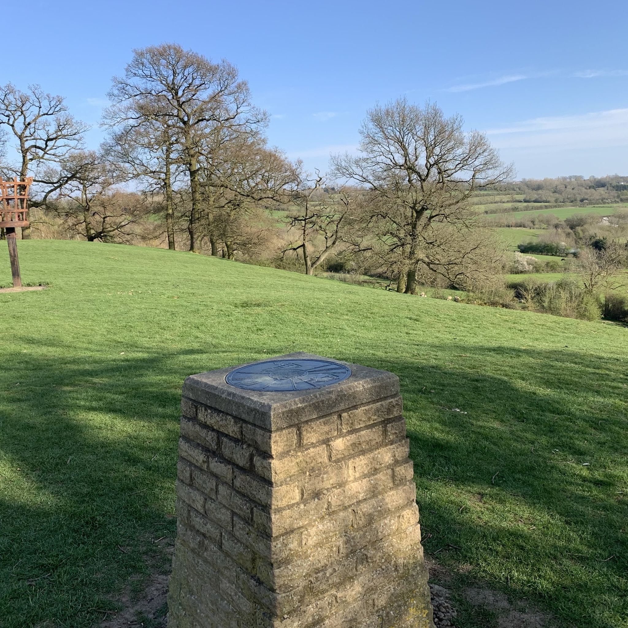
Stunning views across the heart of England await from Honey Hill, one of the most beautiful spots – as well as the highest point – on the Jurassic Way long-distance trail. In fact, it was here the trail was launched in 1994. On a clear day, it's possible to see five different counties from the top. After periods of rainfall, the trails can be boggy here, so decent hiking footwear is recommended.
1
0

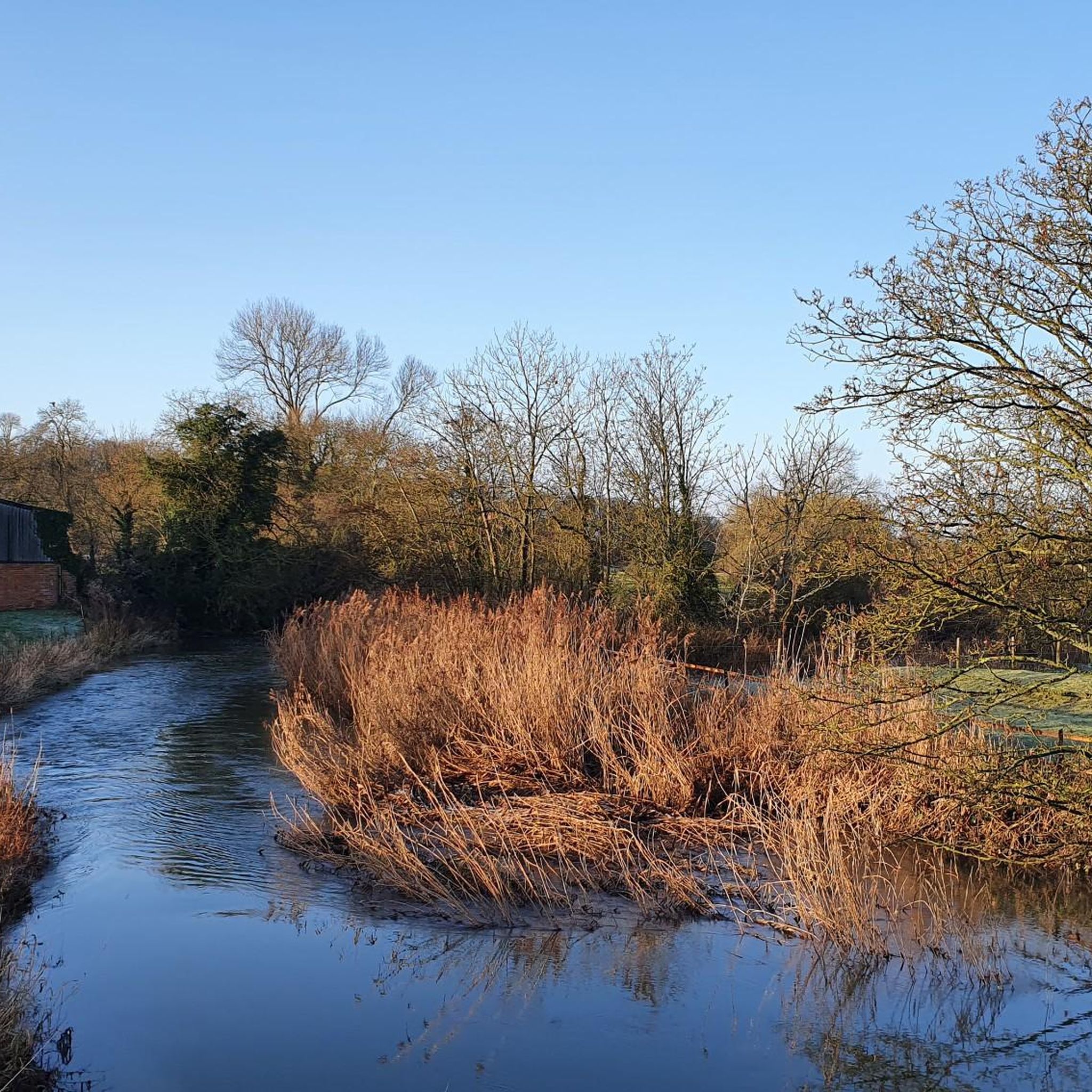
Great little stretch, must take a photo next time!
0
0
Interesting architecture on the gate and boundary walls. Tea room details as per photo.
0
0
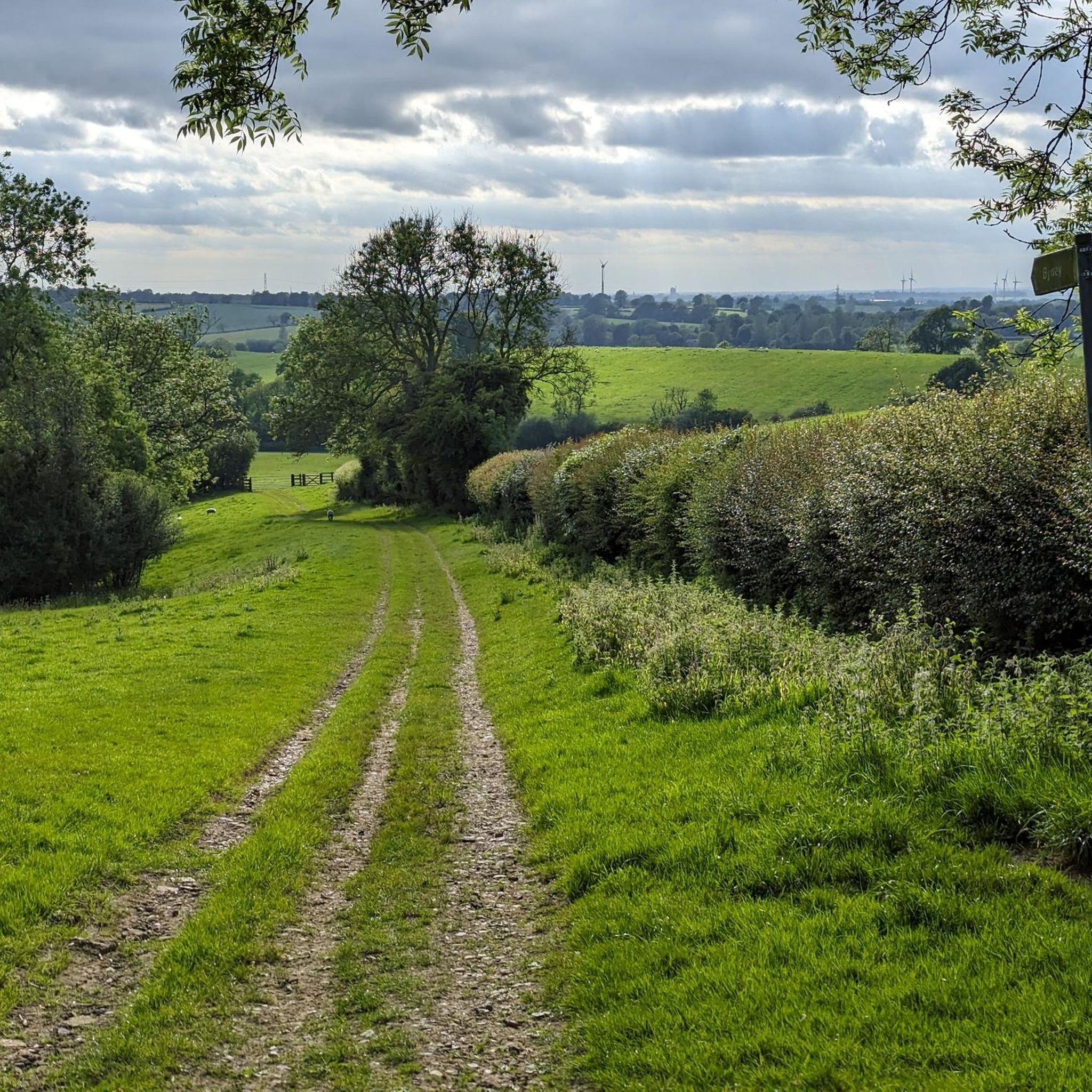
Bit of a technical descent. Track very narrow in places, several gates, not too steep - better than trying it the other way, anyway. Watch out for pedestrians and horses - not much room to pass. Good views from the top.
1
0
A number of amenities are on offer at Hillmorton Locks. This is one of the busiest stretches along the Oxford Canal. The Canalchef Cafe is a simple establishment that serves terrific, hearty portions.
0
0

Frequently Asked Questions
What types of running routes can I find around Yelvertoft?
Yelvertoft offers a diverse range of running routes, from flat, scenic towpaths along the Grand Union Canal to more undulating trails through the rolling countryside and farmland. You'll find paths suitable for various fitness levels, including accessible routes within the Yelvertoft Pocket Park and more challenging options through fields and small woodland copses.
Are there any easy or beginner-friendly running trails in the Yelvertoft area?
Yes, Yelvertoft has several easy running options. The towpaths along the Grand Union Canal are generally flat and well-maintained, making them ideal for beginners or those seeking a relaxed run. Additionally, the Yelvertoft Pocket Park offers accessible routes for peaceful enjoyment. Out of over 250 routes, 19 are specifically rated as easy, providing gentle terrain for new runners.
Can I find running routes with varied terrain or elevation changes near Yelvertoft?
Absolutely. While many routes are relatively flat, especially along the canal, the wider Northamptonshire countryside around Yelvertoft features undulating landscapes with mixed arable and pasture fields. Areas like Honey Hill and Hemplow Hills, east of the Pocket Park, offer more varied terrain and potential viewpoints, providing a good challenge for runners looking for some elevation.
Are there any family-friendly jogging routes in Yelvertoft?
Yes, the Yelvertoft Pocket Park provides accessible and safe routes suitable for families. The flat towpaths of the Grand Union Canal are also excellent for family runs, as they are generally free from significant elevation and offer scenic views. Many of the easier routes in the area are well-suited for families to enjoy together.
Are dogs allowed on the running trails around Yelvertoft?
Many of the public footpaths and bridleways around Yelvertoft are dog-friendly, including the Grand Union Canal towpaths and routes through the open countryside. It's always recommended to keep dogs under control, especially when passing through farmland with livestock, and to check local signage for any specific restrictions. The Yelvertoft Pocket Park is also a popular spot for dog walkers.
What kind of landmarks or natural features can I see while running in Yelvertoft?
Runners in Yelvertoft can enjoy a variety of sights. You'll encounter the serene Grand Union Canal with its narrowboats, the tranquil Yelvertoft Pocket Park, and expansive views of mixed arable and pasture fields. The landscape also features historic ridge and furrow patterns, small woodland copses, and the distinctive geological formations of Hemplow Hills and Honey Hill. For specific points of interest, consider exploring routes that pass by highlights like Oxford Canal Locks and Narrowboats or All Saints' Church, Braunston.
Are there circular running routes available in Yelvertoft?
Yes, many of the running routes around Yelvertoft are designed as loops, allowing you to start and finish in the same location. For example, the popular Running loop from Hillmorton and the Rugby VLF Transmitter, Mast 4 loop from Kilsby are both circular. The network of public footpaths and bridleways makes it easy to create your own circular routes as well.
Where can I park when visiting Yelvertoft for a run?
While specific parking information for every route isn't always available, many routes start from villages like Yelvertoft, Kilsby, or Crick, where public parking may be available. The Yelvertoft Pocket Park is a community area, and local parking options might be found nearby. For detailed information on parking in the village, you might consult the Yelvertoft Parish Council's Village Design Statement for general village amenities.
What do other runners say about the jogging routes in Yelvertoft?
The running routes in Yelvertoft are highly rated by the komoot community, with an impressive average score of 4.6 stars from more than 10 reviews. Runners often praise the blend of rural tranquility, the accessible paths, and the scenic views of the Northamptonshire countryside. Many appreciate the variety of terrain, from flat canal towpaths to undulating field paths.
Are there any cafes or pubs along the running routes in Yelvertoft?
While Yelvertoft is a rural village, some routes may pass through or near other villages like Crick, which offers amenities. For instance, the Pickle & Pie Café loop from Crick suggests a route that incorporates a local cafe. It's a good idea to check specific route details or local village information for refreshment stops before you head out.
How long are the running routes typically in Yelvertoft?
The running routes around Yelvertoft vary significantly in length to suit different preferences. You can find shorter runs, such as the 5.1-mile (8.2 km) Running loop from Hillmorton, which takes about 52 minutes. For longer distances, the Squisito Deli loop from Yelvertoft is a challenging 10.0-mile (16.1 km) trail, typically completed in about 1 hour 41 minutes. Overall, there are over 250 routes, offering a wide range of distances.
What is the best time of year for running in Yelvertoft?
Yelvertoft's rolling countryside and canal paths offer enjoyable running conditions throughout much of the year. Spring and autumn provide pleasant temperatures and beautiful scenery with changing foliage. Summer is also great, though it's advisable to run in the mornings or evenings to avoid the midday heat. Winter runs can be picturesque, but some unpaved paths might be muddy, especially after rain, so appropriate footwear is recommended.
Most popular attractions around Yelvertoft

Get inspired with the komoot mobile app


Explore more
Browse the best Running Trails & Routes in other regions.
