The best road cycling routes around Crick
4.7
(228)
5,472
riders
423
rides
Road cycling routes around Crick are situated in Powys, Wales, offering diverse terrain for cyclists. The area is positioned between the Black Mountains and the Brecon Beacons National Park, with the River Usk flowing nearby. Cyclists can find quiet roads and varied landscapes, including sections along the Monmouthshire and Brecon Canal. The region provides a mix of flat sections and challenging climbs, catering to different fitness levels.
Best road cycling routes around Crick
- The most popular road cycling route is…
Last updated: July 7, 2026
5.0
(1)
43
riders
30.5km
01:25
200m
200m
Easy road ride. Great for any fitness level. Mostly well-paved surfaces and easy to ride.
21
riders
37.0km
01:49
340m
340m
Moderate road ride. Good fitness required. Mostly well-paved surfaces and easy to ride.

Sign up for free
4.4
(5)
18
riders
20.1km
00:57
140m
140m
Easy road ride. Great for any fitness level. Mostly well-paved surfaces and easy to ride.
5.0
(1)
12
riders
45.9km
02:08
390m
390m
Moderate road ride. Good fitness required. Mostly well-paved surfaces and easy to ride.
11
riders
64.9km
02:50
380m
380m
Moderate road ride. Good fitness required. Mostly well-paved surfaces and easy to ride.
Get access to more routes and recommendations from other explorers.
Sign up for free
Already have an account?
Our route recommendations are based on thousands of hikes, rides, and runs completed by other people on komoot.
Start today with a free account
Your next adventure awaits.
Login or Signup
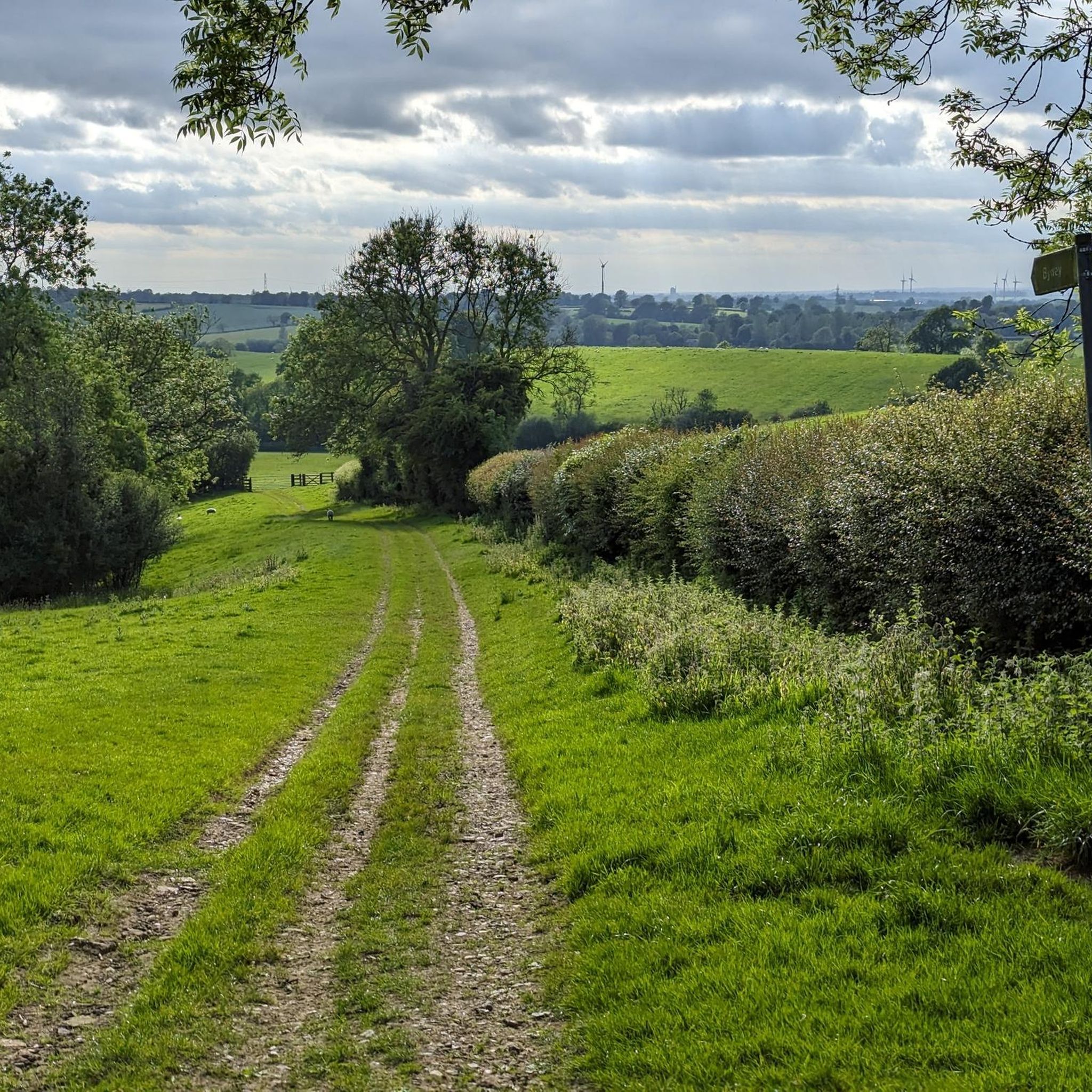
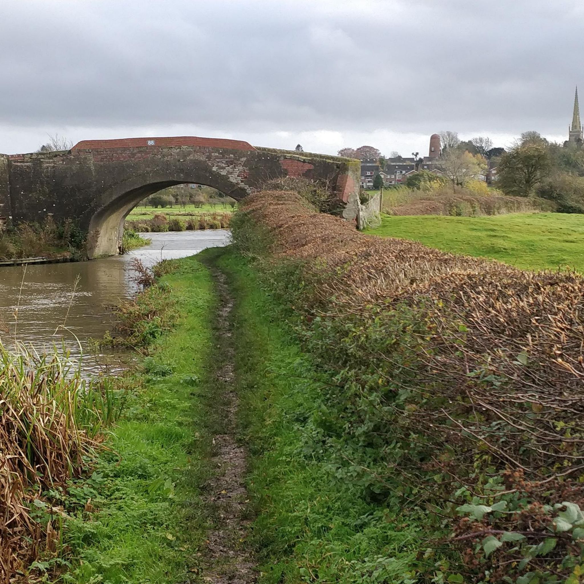
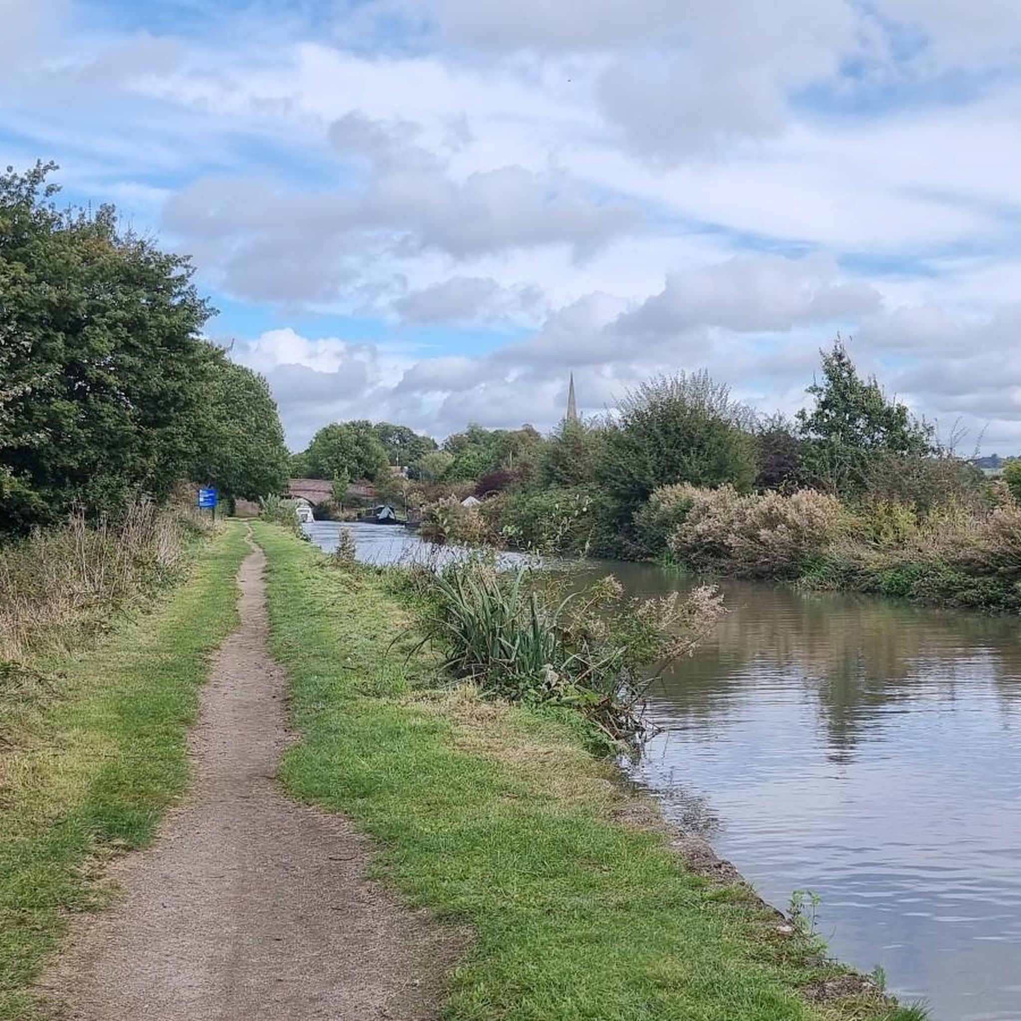

Tips from the Community

Great Little Cafe with Friendly Staff. Indoor and Outdoor Seating. Not much room for bikes but solo or small groups definitely worth a stop if you are passing.
0
0

The charming village of Monks Kirby is set in a nice shallow valley, with only about two hundred houses. It is small and picturesque. It is a historical hamlet with St. Edith’s church in the village going back to the 11th century, and this is the dominant architectural feature in the area with its large tower. The lanes around the village are ideal for cycling, they are quieter than you might think considering their proximity to the M6.
1
0


A lovely stop with seating inside or outside. Modern Cafe And Delicatessen Serving Hot And Cold Drinks, Light Bites, Homemade Cakes, Pies and much more
0
0

Where maps and the British landscape are concerned, Cold Ashby has something of a claim to fame. It was here, on 18 April 1936, that the Ordnance Survey's first trig pillar was erected, starting the Retriangulation of Great Britain, which saw over 11,000 pillars installed in order to accurately map the land. Unsurprisingly, given Cold Ashby's selection as a trig point venue, it occupies high ground. In fact, this is the highest village in Northamptonshire, at 656 feet (200 m) above sea level.
0
0

Stanford Reservoir lies on the border of Leicestershire and Northamptonshire. It requires a permit to visit, but you can enjoy views from the road.
1
0
This attractive Northamptonshire village lies on the route of the Jurassic Way long-distance footpath and is an important stop off just above Watford Gap. There are a number of amenities for walkers, including three pubs, one of which has rooms for the night. There are also bed and breakfast options and a grocery store.
0
0

Brinklow Castle is known locally as the Tump. It's a medieval motte and bailey castle based on a prehistoric long barrow and modified in the 11th century. It's quite large for this period with a 12m high motte and a 121m by 152m bailey. The grass mounds are still clearly visible.
0
0
Frequently Asked Questions
How many road cycling routes are available around Crick?
Crick offers a wide variety of road cycling experiences, with over 400 routes available. These range from easy, gentle rides to more challenging ascents, catering to all fitness levels.
What kind of terrain can I expect on road cycling routes near Crick?
The terrain around Crick is quite diverse. You'll find quiet country roads, gentle hills, and sections that run alongside the tranquil Monmouthshire and Brecon Canal. The region is nestled between the Black Mountains and the Brecon Beacons National Park, offering both picturesque flat sections and significant climbs for those seeking a challenge.
Are there easy road cycling routes suitable for beginners or families in Crick?
Yes, Crick has many easy road cycling routes perfect for beginners or families. For instance, the Honey Hill – West Haddon Village loop from West Haddon is an easy 22.4 km ride with moderate elevation, offering a pleasant experience through rural scenery. Another great option is the Pickle & Pie Café loop from Crick, a 20.1 km trail leading through local villages.
What are some challenging road cycling routes for experienced cyclists?
For experienced cyclists seeking a challenge, the proximity to the Black Mountains and Brecon Beacons provides demanding routes. While specific challenging routes are not detailed in the provided data, the region is known for strenuous mountain challenges and significant climbs, such as those found on routes traversing the Brecon Beacons National Park, which require good to very good fitness.
What natural features or landmarks can I see along the cycling routes?
While cycling around Crick, you can encounter several interesting landmarks and natural features. You might pass by the historic All Saints' Church, Braunston, or observe the Oxford Canal Locks and Narrowboats. The area also features beautiful water bodies like the Daventry Country Park Reservoir, offering scenic views.
What is the best time of year to go road cycling in Crick?
Crick offers enjoyable road cycling throughout much of the year. The quiet roads and varied landscapes are beautiful in spring and summer. While the region is accessible year-round, it's always wise to check local weather conditions, especially during winter, as some higher elevation routes in the Black Mountains or Brecon Beacons might be more exposed.
Are there any circular road cycling routes in the area?
Yes, many of the road cycling routes around Crick are designed as loops, allowing you to start and finish in the same location. An example is the Honey Hill – Swinford Village loop from West Haddon, which is a popular 30.5 km circular trail featuring gentle hills and rural scenery.
What do other road cyclists say about cycling in Crick?
The road cycling routes in Crick are highly regarded by the komoot community, holding an impressive average rating of 4.7 stars from over 360 reviews. Cyclists often praise the quiet country roads, varied terrain, and the beautiful scenery, making it a popular destination for over 5,000 road cyclists who have explored the area with komoot.
Are there places to stop for refreshments along the routes?
Yes, many routes pass through local villages where you can find cafes and pubs. For example, the Pickle & Pie Café loop from Crick is specifically named after a local establishment, indicating opportunities for refreshment stops.
Can I reach Crick by public transport for cycling?
Crick is a village in Powys, Wales. While specific public transport links for cyclists are not detailed, it's generally advisable to check local bus services or train connections to nearby towns. For detailed information on public transport options to and from Crick, it's best to consult local transport providers or the Visit Crickhowell website for general travel advice.
Where can I find parking for my car when cycling in Crick?
Crick village typically offers parking facilities for visitors. Many cycling routes, such as the West Haddon Village – Cold Ashby Village loop from Crick, start directly from the village, implying convenient access to parking. It's recommended to check local signage for specific parking areas and any associated fees.
Are there any moderate difficulty routes for intermediate cyclists?
Absolutely. Crick offers a good selection of moderate routes. The All Saints' Church, Braunston – Willoughby Phone Box Library loop from Kilsby is a popular moderate 37.7 km path that traverses varied terrain with some elevation gain, making it suitable for intermediate cyclists looking for a bit more challenge than an easy ride.
Most popular attractions around Crick

Get inspired with the komoot mobile app


Explore more
Browse the best Road cycling routes in other regions.
