The best running trails around Blakenhall
4.3
(86)
5,028
runners
386
runs
Jogging around Blakenhall offers a variety of routes through a predominantly flat to gently undulating landscape. The region features a mix of open fields, quiet country lanes, and sections alongside small watercourses. Elevation changes are generally minor, making it suitable for various fitness levels. The area provides a tranquil setting for running, with paths often passing through agricultural land and small village outskirts.
Best jogging routes around Blakenhall
- The most popular jogging route is Wybunbury loop, a 3.6 miles…
Last updated: June 24, 2026
5
runners
5.86km
00:37
30m
30m
Moderate run. Good fitness required. Mostly accessible paths. Some sure footedness required.
1
runners
5.81km
00:36
20m
20m
Jog the 3.6-mile Hough to Weston loop, a moderate route with 73 feet of elevation gain, taking about 36 minutes to complete.

Sign up for free
1
runners
13.2km
01:23
70m
70m
Moderate run. Good fitness required. Mostly accessible paths. Some sure footedness required.
6
runners
6.99km
00:43
30m
30m
Moderate run. Good fitness required. Mostly paved surfaces. Suitable for all skill levels.
4
runners
15.3km
01:35
80m
80m
Hard run. Very good fitness required. Mostly paved surfaces. Suitable for all skill levels.
Get access to more routes and recommendations from other explorers.
Sign up for free
Already have an account?
Our route recommendations are based on thousands of hikes, rides, and runs completed by other people on komoot.
Start today with a free account
Your next adventure awaits.
Login or Signup

Tips from the Community

Within Hough village, you will discover the welcoming White Hart public house and a former Primitive Methodist Chapel, now inactive and to be integrated into the Englesea Brook Museum. The White Hart, is the perfect retreat to sit back, relax and indulge in delicious home cooked food with your favourite drink in hand. https://www.whiteharthough.co.uk/
1
0
Running over the West Coast Mainline between Hough and Weston. Two Saints Way is a country path with beautiful views both of the Wychwood Golf Club and Basford Brook. The White Lion Restaurant and Hotel, in Weston village, offers gastropub food and is open 7 days a week.
1
0
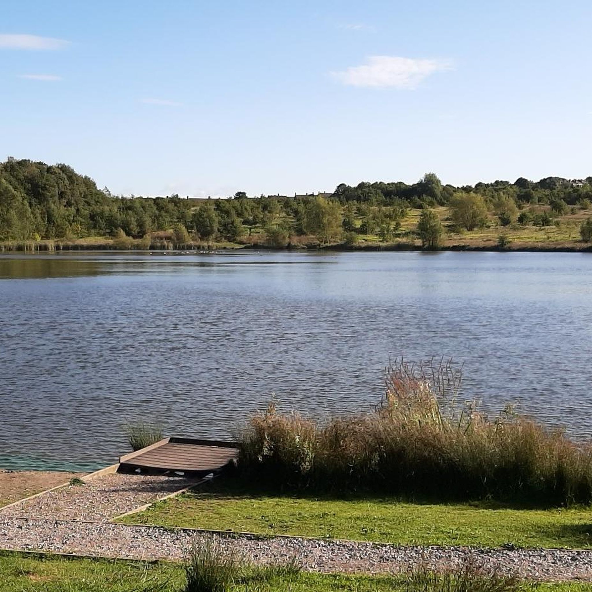
Hatherton Village and its surrounding area offers some of the best of Cheshire's countryside charm. A blend of country pathways and paved trails, creating an inviting terrain for running enthusiasts. Along the way, you'll discover Glovers Moss and Ridley's Pool, adding to the allure of the journey. For added convenience, parking is available at Dagfields Tearooms, where it's not only free but also accessible every day from 10 am to 5 pm. This makes it an excellent choice for post-run replenishment, offering a perfect spot to refuel and rejuvenate after an invigorating workout.
0
0
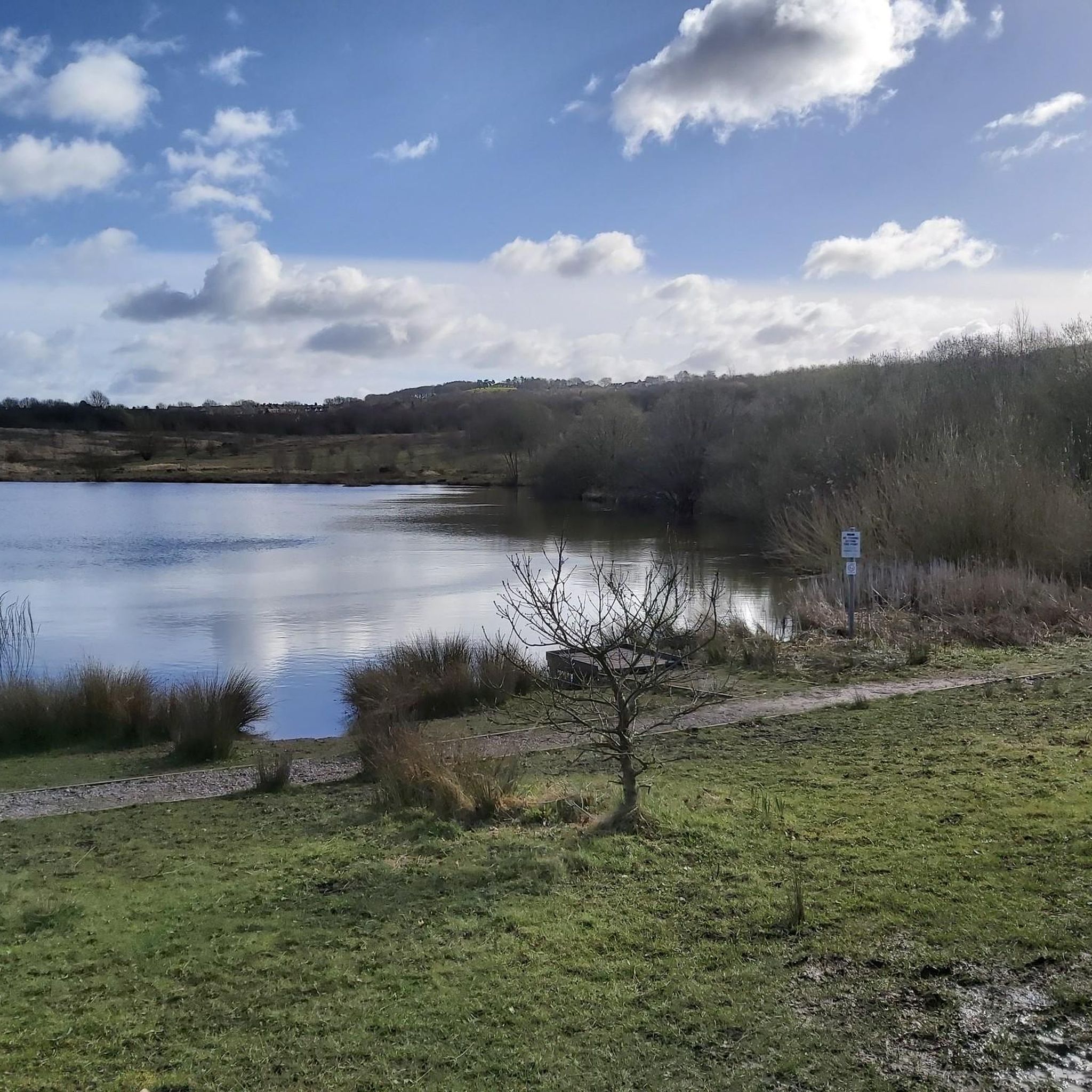
Wybunbury Moss is on the outskirts of the village and is a Natural England Nature Reserve. The pathways can be muddy in the middle, but there are boardwalks around the area. Wybunbury Tower stands on the site of St Chad's Church in the village. It is one of the most impressive church towers in Cheshire.
0
0
Frequently Asked Questions
How many running routes are available in Blakenhall?
Blakenhall offers a wide selection of running routes, with over 400 different tours available on komoot. These range from easy strolls to more challenging runs, catering to various fitness levels.
Are there easy or beginner-friendly jogging routes in Blakenhall?
Yes, Blakenhall has many options for beginners. There are over 50 easy running routes, characterized by predominantly flat to gently undulating terrain, making them ideal for those new to jogging or looking for a relaxed run. The region's landscape of open fields and quiet country lanes is very welcoming.
Can I find challenging running trails in Blakenhall?
Absolutely. For more experienced runners seeking a challenge, Blakenhall features over 60 difficult running routes. These trails often include longer distances or slightly more varied terrain, such as the Hough Village – Keep Gate Shut Spoon Sign loop from Betley, which covers over 15 km.
Are there circular running routes in Blakenhall?
Yes, many of the running routes in Blakenhall are circular, offering convenient starting and ending points. Popular examples include the Wybunbury loop and the Hough to Weston loop, both providing scenic circuits through the countryside.
What kind of scenery can I expect on the running trails around Blakenhall?
The running routes in Blakenhall offer a tranquil setting, primarily passing through open fields, quiet country lanes, and sections alongside small watercourses. You'll experience agricultural land and the fringes of small villages, providing a peaceful rural backdrop for your run.
Are there any interesting landmarks or attractions near the running routes?
While running, you might encounter various points of interest. Nearby attractions include historical sites like the John Wedgwood Monument, Bignall Hill, or the impressive Nantwich Aqueduct. There are also several serene lakes such as Winterley Pool, which can be a pleasant sight along your journey.
What do other runners enjoy most about jogging in Blakenhall?
The running experience in Blakenhall is highly regarded by the komoot community, with an average rating of 4.3 stars from over 70 reviews. Runners often praise the area for its peaceful rural surroundings, the variety of routes suitable for different abilities, and the well-maintained paths through agricultural land and village outskirts.
Are the running routes in Blakenhall suitable for families?
Many of the routes in Blakenhall, especially the easier ones, are suitable for families. The generally flat to gently undulating terrain and quiet country lanes make for a pleasant experience for all ages. Look for routes marked as 'easy' for the most family-friendly options.
When is the best time of year to go running in Blakenhall?
Blakenhall's routes are enjoyable year-round. The predominantly rural landscape is beautiful in spring and summer with blooming fields, while autumn offers picturesque colours. Even in winter, the paths are generally accessible, though conditions may vary with weather, so always check local forecasts.
Can I find 5k running routes in Blakenhall?
Yes, Blakenhall offers several routes around the 5k mark, perfect for a quick run or a 5k challenge. For instance, the Wybunbury loop is approximately 5.9 km (3.6 miles), providing a great option for this distance.
Are the running trails in Blakenhall dog-friendly?
While specific regulations can vary, many of Blakenhall's rural paths and country lanes are generally suitable for running with dogs, provided they are kept under control, especially when passing through agricultural land or near livestock. Always be mindful of local signage and respect private property.
Where can I find parking for the running trails in Blakenhall?
While specific parking areas for each trail are not detailed, Blakenhall and its surrounding villages often have public parking options or roadside parking available near trailheads or village centres. It's advisable to check local maps or community information for the most convenient spots depending on your chosen starting point.
Most popular attractions around Blakenhall

Get inspired with the komoot mobile app


Explore more
Browse the best Running Trails & Routes in other regions.
