The best road cycling routes around Wöllstadt
4.5
(959)
16,279
riders
17
rides
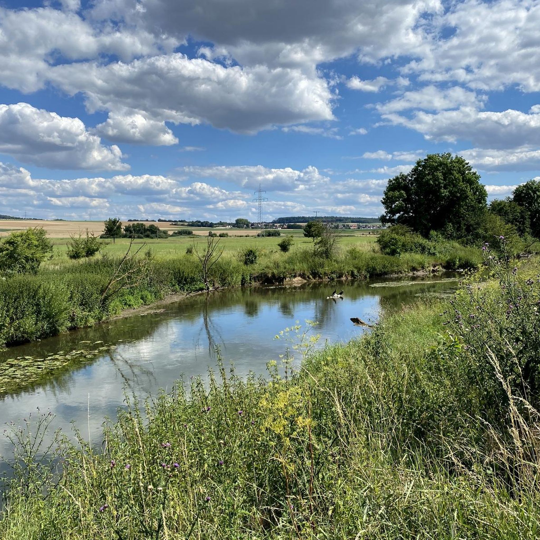
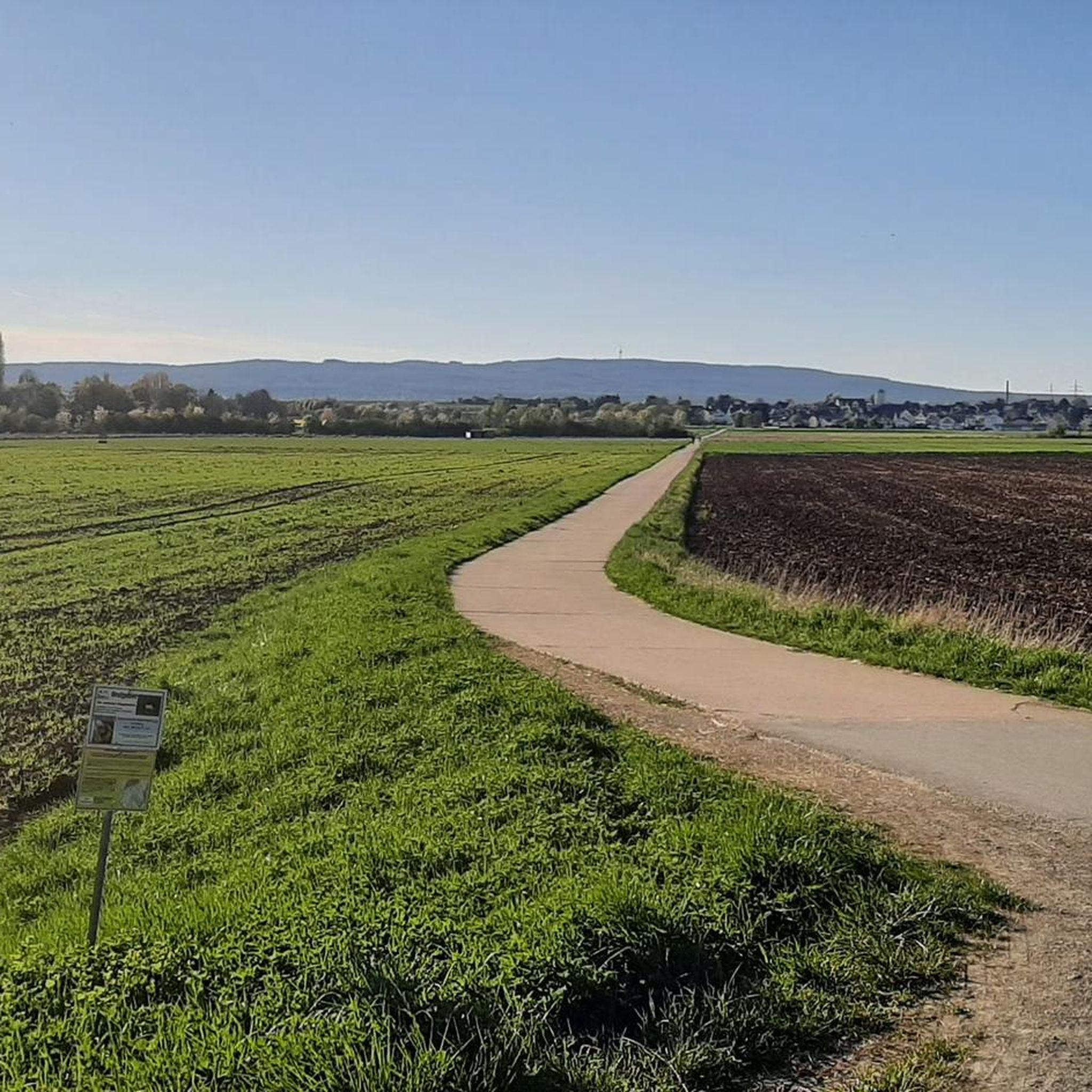
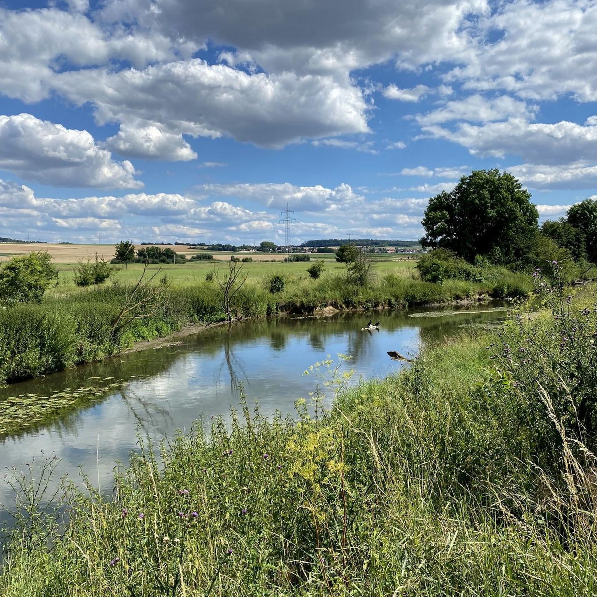
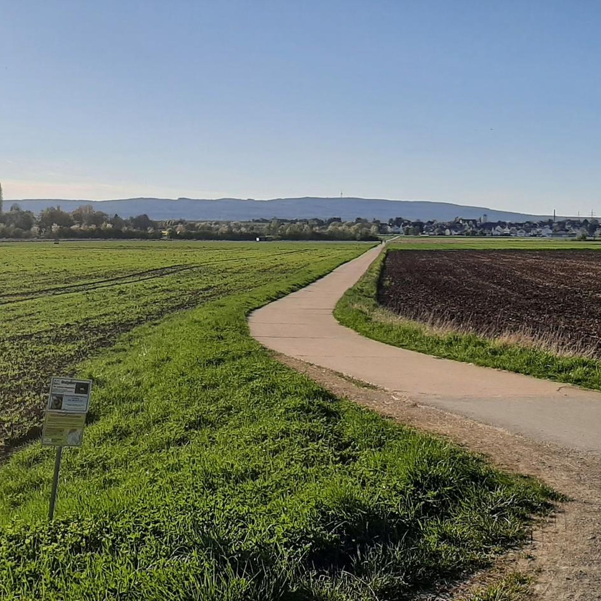
Road cycling routes around Wöllstadt are situated within the Wetterau region of Hesse, Germany, characterized by rolling hills and expansive fields. The area offers varied terrain, from the foothills of the Vogelsberg mountains to the slopes of the Taunus. Well-developed cycle paths follow river valleys, including the Nidda and Usa, providing flatter sections. This landscape composition supports a range of road cycling experiences.
Best road cycling routes around Wöllstadt
- The most popular road cycling route is Münzenberg Castle – View of Münzenberg Castle loop from Nieder Wöllstadt, a 71.2 miles (114.6 km) trail that takes 5 hours 3 minutes to complete. This route features views of historic Münzenberg Castle.
- Another top favourite among local road cyclists is Celtic World at the Glauberg – Stammheim Castle loop from Nieder Wöllstadt, a moderate 46.4 miles (74.6 km) path. This route passes through areas with historical significance, including Celtic World at Glauberg.
- Local road cyclists also love the Stornfels Village – Stammheim Castle loop from Nieder Wöllstadt, a 74.8 miles (120.4 km) trail leading through varied terrain, often completed in about 5 hours 35 minutes.
- Road cycling around Wöllstadt is defined by rolling hills, open fields, and scenic river valleys. The network offers options for different ability levels, from easy rides along rivers to more challenging routes with significant elevation gain.
- The routes in Wöllstadt are highly rated by the komoot community with an average score of 4.9 stars from more than 30 reviews. More than 1000 road cyclists have used komoot to explore Wöllstadt's varied terrain.
Last updated: July 1, 2026
4.7
(3)
395
riders
115km
05:03
1,040m
1,040m
Hard road ride. Very good fitness required. Some segments of this route may be unpaved and difficult to ride.
5.0
(5)
255
riders
Moderate road ride. Good fitness required. Mostly well-paved surfaces and easy to ride.

Sign up for free
4.5
(6)
180
riders
120km
05:35
1,360m
1,360m
Hard road ride. Very good fitness required. Mostly well-paved surfaces and easy to ride.
5.0
(5)
116
riders
76.3km
03:16
480m
480m
Moderate road ride. Good fitness required. Mostly well-paved surfaces and easy to ride.
4.2
(6)
66
riders
Easy road ride. Great for any fitness level. Mostly well-paved surfaces and easy to ride.
Get access to more routes and recommendations from other explorers.
Sign up for free
Already have an account?
Our route recommendations are based on thousands of hikes, rides, and runs completed by other people on komoot.
Start today with a free account
Your next adventure awaits.
Login or Signup
Tips from the Community

CLOSED ON MONDAYS! March Tuesday - Sunday from 10:00 AM to 4:00 PM April and October Tuesday - Saturday from 10:00 AM to 4:00 PM Sundays from 10:00 AM to 5:00 PM May to September Tuesday - Sunday from 10:00 AM to 6:00 PM November Saturday and Sunday from 11:00 AM to 4:00 PM December, January, and February: CLOSED FOR THE WINTER!
0
0

The “White Tower”, completed in 1408, is the tallest building in Wölfersheim at 27 m and is also the landmark of Wölfersheim.
3
0


The water is not for everyone
1
0

Relatively relaxed (fast) along a busy country road
0
0

The White Tower is a landmark that defines the townscape of Wölfersheim. With its dominant position at the southern, historic entrance to the town, it is reminiscent of the once closed medieval wall around the town center. It was built in 1408 with prison rooms, defensive floors, a residential floor and a defensive platform on the highest level.
1
0
The historic town hall is a masterpiece of half-timbering. There are different accounts of when it was built. One time it says 1610 and another time 1670. It was probably rebuilt later in the 19th century.
1
0
Frequently Asked Questions
What kind of terrain can I expect when road cycling around Wöllstadt?
Wöllstadt, located in the Wetterau region, offers a diverse landscape for road cyclists. You'll encounter picturesque rolling hills and expansive fields, with terrain ranging from the foothills of the Vogelsberg mountains to the slopes of the Taunus. Additionally, well-developed cycle paths follow river valleys like the Nidda and Usa, providing flatter sections for a more relaxed ride.
How many road cycling routes are available in the Wöllstadt area?
There are over 15 road cycling routes around Wöllstadt, catering to various skill levels. The komoot community has explored these routes extensively, with more than 1000 road cyclists using komoot to discover the area's varied terrain.
Are there any easy road cycling routes suitable for beginners or families?
Yes, Wöllstadt offers easy road cycling options. For instance, the route to Rosenmuseum Steinfurth – White Tower, Wölfersheim loop from Nieder Wöllstadt is classified as easy, covering 45.1 km with moderate elevation gain, making it a good choice for those seeking a less strenuous ride.
What are some challenging road cycling routes for experienced riders?
For experienced riders seeking a challenge, routes like the Münzenberg Castle – View of Münzenberg Castle loop from Nieder Wöllstadt offer significant elevation gain over 114.6 km. Another demanding option is the Stornfels Village – Stammheim Castle loop from Nieder Wöllstadt, which covers 120.4 km with over 1300 meters of ascent.
What historical landmarks or points of interest can I see along the road cycling routes?
Many routes pass by significant historical sites. The Münzenberg Castle – View of Münzenberg Castle loop from Nieder Wöllstadt offers views of the historic Münzenberg Castle. Another route, Celtic World at the Glauberg – Stammheim Castle loop from Nieder Wöllstadt, takes you through areas of historical significance, including Celtic World at Glauberg. You might also encounter the Winterstein tower, which offers panoramic views.
Are there any scenic viewpoints along the road cycling routes in Wöllstadt?
Yes, the region offers several scenic viewpoints. The rolling hills and open fields of the Wetterau provide expansive vistas. For a specific highlight, the Winterstein tower is a notable viewpoint that can be incorporated into longer rides, offering great panoramic views of the surrounding landscape.
What do other road cyclists say about the routes in Wöllstadt?
The road cycling routes in Wöllstadt are highly regarded by the komoot community, holding an impressive average rating of 4.9 stars from over 30 reviews. Cyclists often praise the varied terrain, well-paved surfaces, and the scenic beauty of the Wetterau region, including the picturesque river valleys and historic landmarks.
Are the road cycling routes around Wöllstadt typically circular?
Yes, many of the road cycling routes around Wöllstadt are designed as loops, often starting and ending in Nieder Wöllstadt. This allows for convenient planning without the need for shuttle services or backtracking. Examples include the Ysenburg Castle – Stammheim Castle loop from Nieder Wöllstadt and the Münzenberg Castle – View of Münzenberg Castle loop from Nieder Wöllstadt.
What natural features can I expect to see while cycling in the region?
The Wöllstadt area is rich in natural beauty. You'll cycle through picturesque hills and fields, and along the scenic river valleys of the Nidda and Usa. The Nidda Cycle Path, in particular, features beautiful sections passing through the Nidda-Auen nature reserve, known for its diverse flora and fauna. The confluence of the Nidder and Nidda rivers also offers a tranquil resting spot.
Is Wöllstadt well-connected for cyclists using public transport?
Wöllstadt's location approximately 20 kilometers north of Frankfurt am Main makes it relatively accessible. While specific public transport details for bike access aren't provided, its proximity to larger urban centers like Frankfurt and Friedberg suggests potential connections, allowing cyclists to reach the area and begin their rides.
Are there any specific events for road cyclists in Wöllstadt?
Yes, Wöllstadt has a strong cycling culture, highlighted by the annual 'Wöllstadt Pedal Total' event. Organized by RC Edelweiss, this event features multiple routes of varying lengths and elevations, catering to different skill levels, and underscores the community's commitment to promoting cycling in the region.
Most popular attractions around Wöllstadt

Get inspired with the komoot mobile app


Explore more
Browse the best Road cycling routes in other regions.
