The best walks and hikes around Wolferstadt
4.5
(486)
1,955
hikers
27
hikes
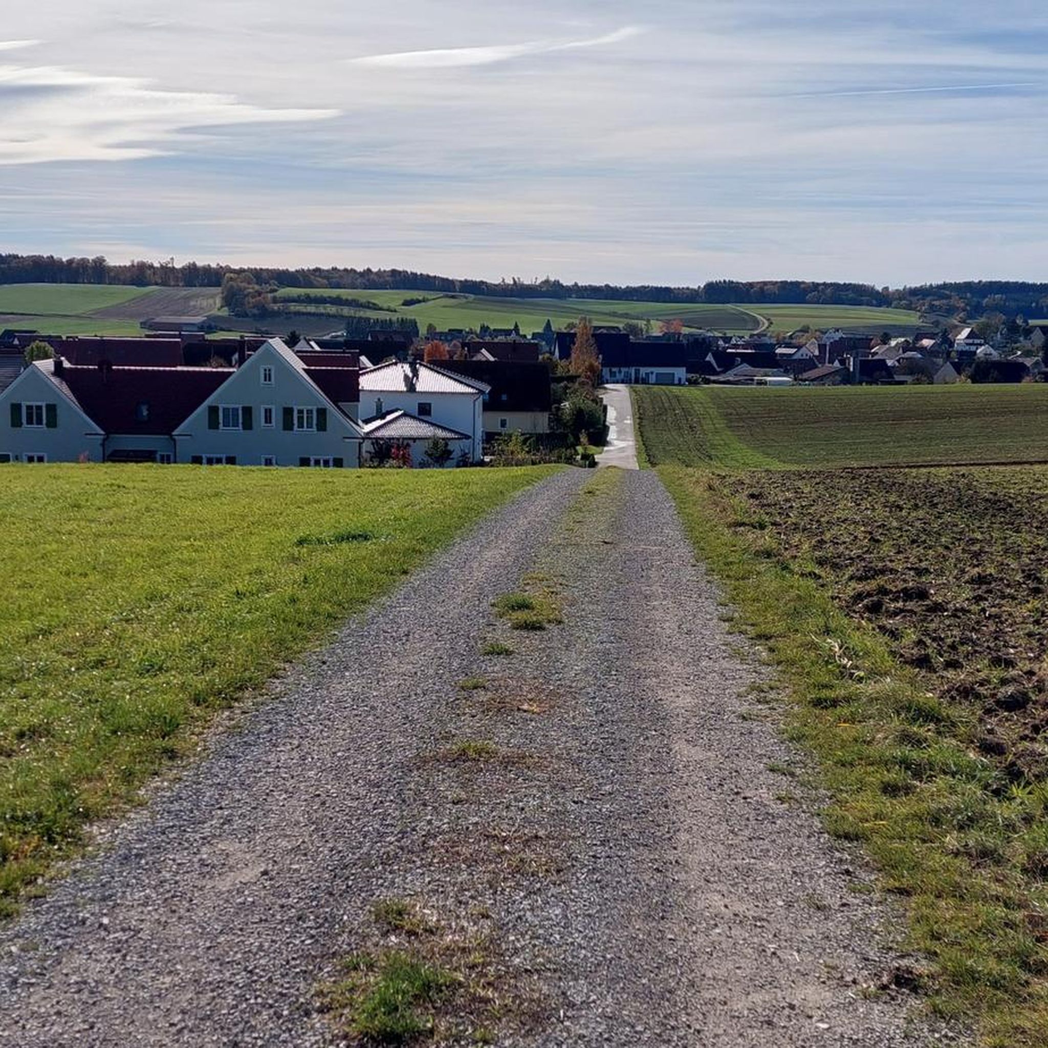
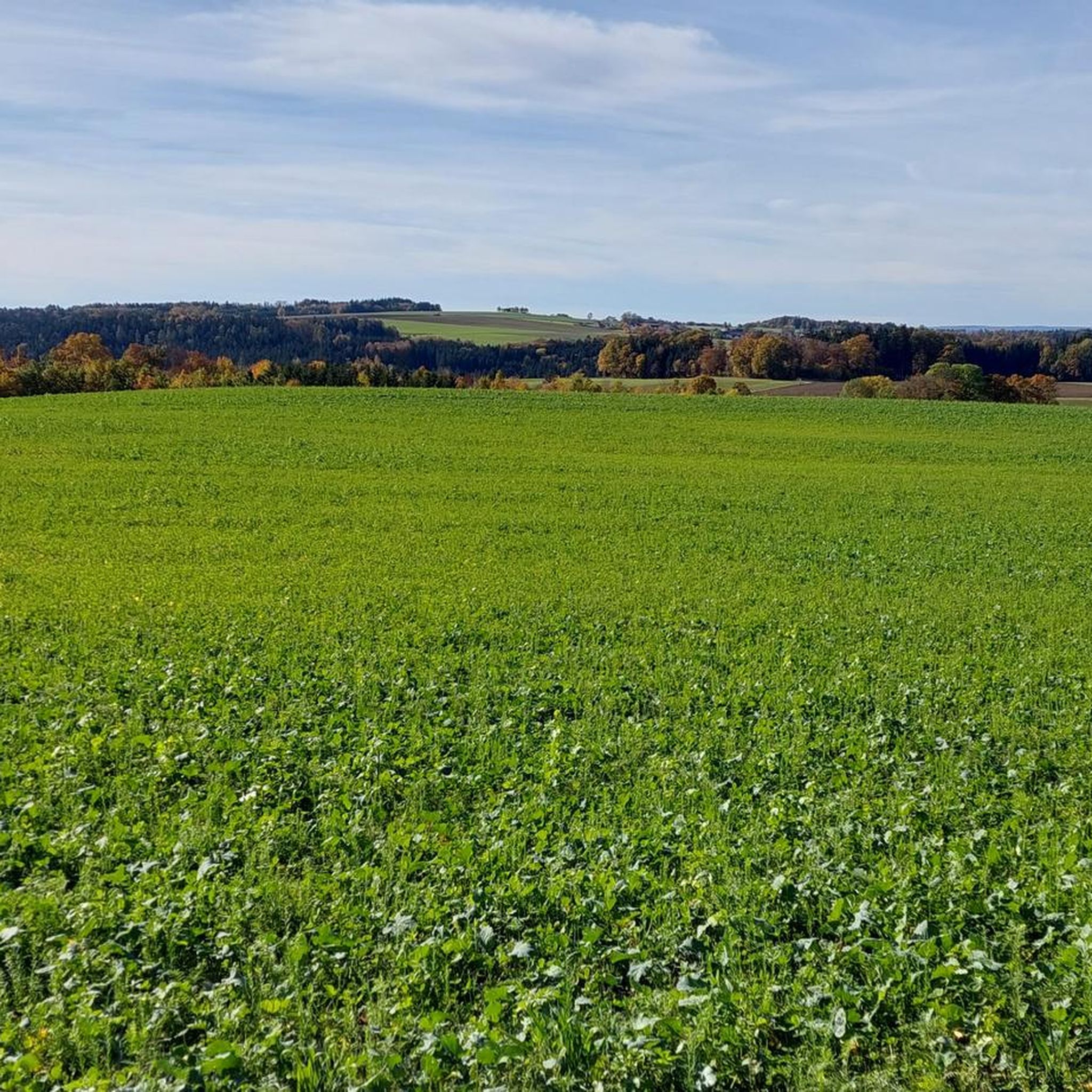
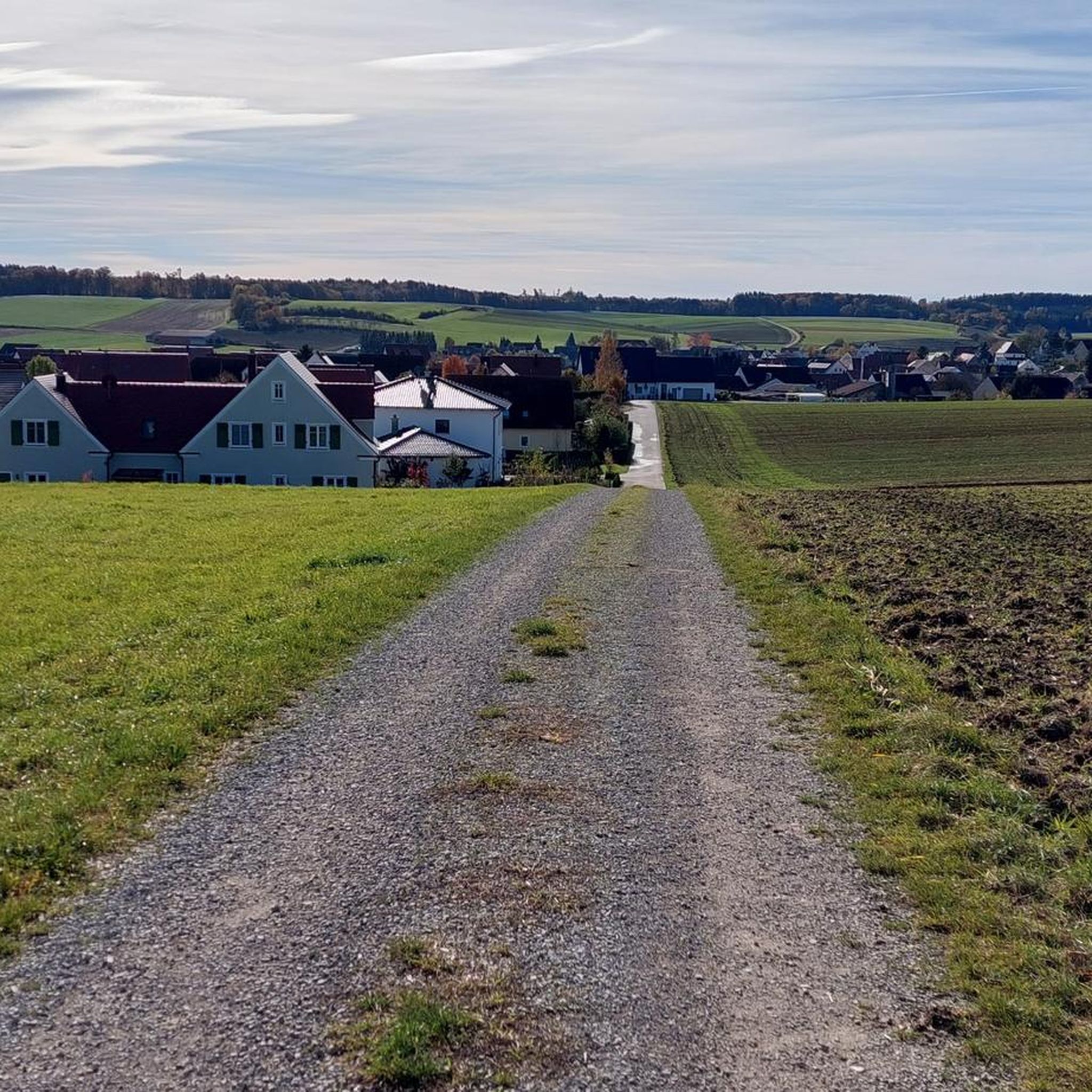
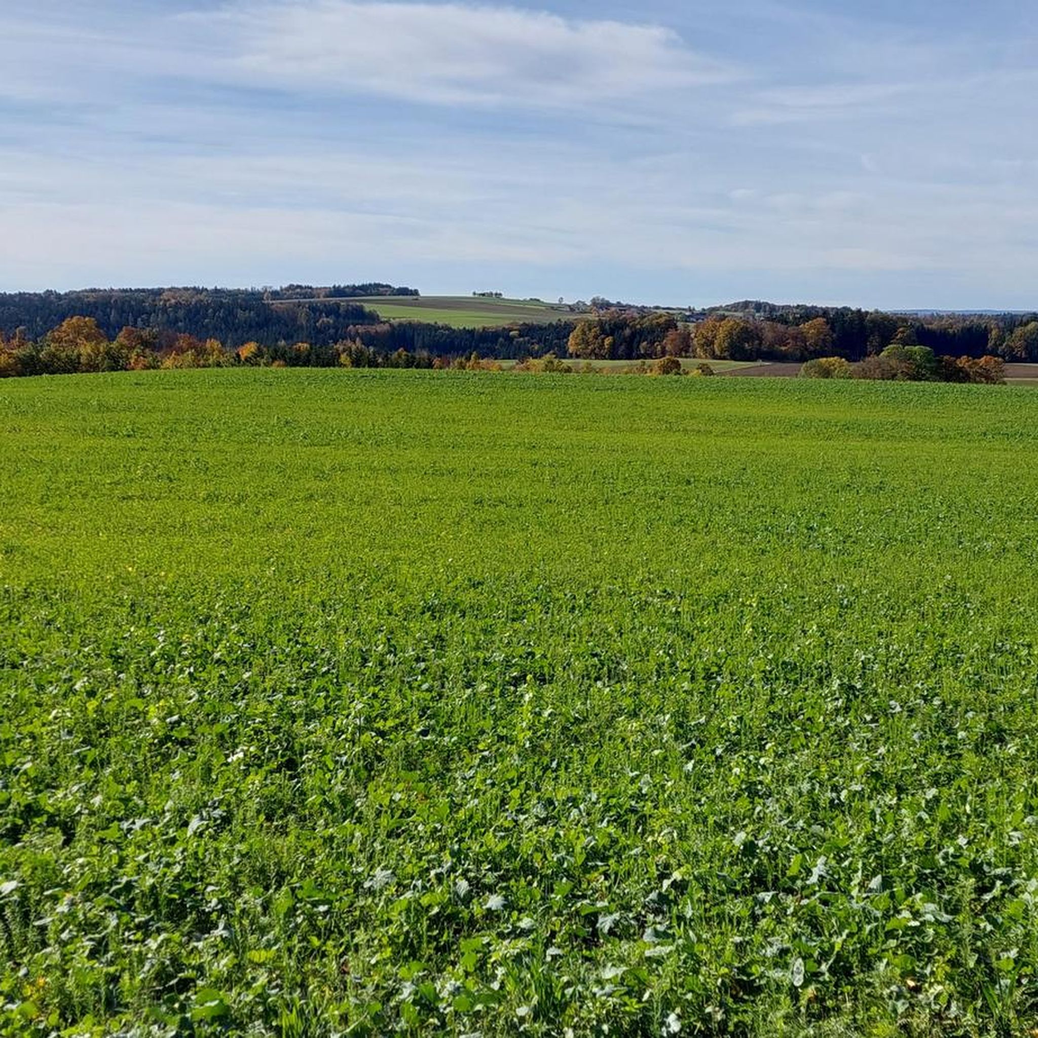
Hiking around Wolferstadt offers diverse landscapes in Germany's Donau-Ries region. The area is characterized by a blend of rivers, rolling hills, and lush forests, providing varied terrain for exploration. Proximity to the Altmühltal Nature Park enhances the natural beauty, featuring views of the Altmühl river. This geographical setting provides a picturesque backdrop for outdoor activities.
Best hiking trails around Wolferstadt
- The most popular hiking route is Uhlberg Chapel Ruins – Gerichtslinde Rothenberg loop from Rothenberg, a 5.4 miles (8.8…
Last updated: July 4, 2026
4.7
(32)
101
hikers
8.77km
02:29
190m
190m
Moderate hike. Good fitness required. Easily-accessible paths. Suitable for all skill levels.
4.7
(29)
91
hikers
7.33km
02:04
150m
150m
Moderate hike. Good fitness required. Easily-accessible paths. Suitable for all skill levels.

Sign up for free
4.9
(15)
33
hikers
8.96km
02:29
170m
170m
Moderate hike. Good fitness required. Easily-accessible paths. Suitable for all skill levels.
4.8
(14)
24
hikers
6.24km
01:41
80m
80m
Easy hike. Great for any fitness level. Easily-accessible paths. Suitable for all skill levels.
4.7
(7)
20
hikers
16.9km
04:42
320m
320m
Moderate hike. Good fitness required. Easily-accessible paths. Suitable for all skill levels.
Get access to more routes and recommendations from other explorers.
Sign up for free
Already have an account?
Our route recommendations are based on thousands of hikes, rides, and runs completed by other people on komoot.
Start today with a free account
Your next adventure awaits.
Login or Signup

Tips from the Community

The historical map shows the monastery fountain and former temple area at this location. Traces are still visible on the grounds.
0
0

This sandstone quarry is somewhat hidden next to the hiking trail by the pond.
1
0
It is probably a memorial stone. It stands on the Westenbrunnenbach, near the pond.
0
0
On the southern outskirts of Rothenberg, directly on the street, there is a 400-year-old “court linden tree”. The linden tree branches upwards in a funnel shape via mighty branches. The trunk circumference is over 8 meters. https://www.monumentale-eichen.de/andere-baumarten/linden/rothenberg/
0
0

Just the right thing after biking
3
0

a very mighty linden tree near Rothenberg Location: at the Lindenstraße, town exit direction south mighty trunk on which a funnel-shaped crown rises just above the ground. Link: https://www.monumentale-eichen.de/andere-baumarten/linden/rothenberg/
4
0
a fabulously beautiful village fountain, unfortunately not in operation in March
5
0
Frequently Asked Questions
How many hiking trails are available around Wolferstadt?
There are over 25 hiking trails around Wolferstadt, offering a variety of experiences for different skill levels. You'll find everything from easy strolls to more challenging moderate hikes through the region's diverse landscapes.
What kind of terrain can I expect on hikes around Wolferstadt?
Hikes around Wolferstadt feature a blend of rolling hills, scenic river valleys, and dense woodlands. The area benefits from its location on the banks of the Wörnitz river and its proximity to the Altmühltal Nature Park, providing varied and picturesque terrain.
Are there easy hiking trails suitable for beginners in Wolferstadt?
Yes, Wolferstadt offers several easy hiking trails perfect for beginners or those looking for a relaxed walk. For example, the Uhlberg Chapel Ruins – Ruins of the Uhlberg Chapel loop from Siebeneichhöfe is an easy 6.2 km route that takes just over an hour and a half to complete.
What are some notable natural features or landmarks to see while hiking in Wolferstadt?
While hiking, you can explore the historic Uhlberg Chapel Ruins, a 15th-century idyllic chapel. The region also offers views of the Altmühl river and its valleys, and you might encounter other natural highlights like the Hahnenkammsee or the Lohweiher (Forest Lake) near Wemding.
Are there family-friendly hiking options in Wolferstadt?
Yes, many routes in Wolferstadt are suitable for families. The diverse network of trails includes paths with gentle ascents and well-maintained surfaces, making them enjoyable for all ages. Look for trails described as 'easy' for the most family-friendly experiences.
Can I find circular hiking routes in Wolferstadt?
Absolutely. Many of the trails around Wolferstadt are designed as circular routes, allowing you to start and end at the same point. A popular option is the Magdalenastein – Uhlberg Chapel Ruins loop from Spielhof, a moderate 7.3 km trail that offers beautiful views.
What is the best time of year to go hiking in Wolferstadt?
The optimal time to explore the outdoor offerings around Wolferstadt is from spring to autumn. During these seasons, the weather is generally pleasant, and the landscapes are vibrant, making for ideal hiking conditions.
How long do hikes around Wolferstadt typically take?
Hikes vary in length and duration. Shorter, easy trails can take around 1.5 to 2 hours, while moderate routes like the Uhlberg Chapel Ruins – Uhlberg loop from Rothenberg typically take about 2 hours and 30 minutes to complete. Longer routes, such as the Gerichtslinde Rothenberg – Uhlberg Chapel Ruins loop from Wolferstadt, can take around 4 hours and 45 minutes.
What do other hikers enjoy most about hiking in Wolferstadt?
The area is highly rated by the komoot community, with an average score of 4.5 stars from over 400 reviews. Hikers often praise the diverse landscapes, the blend of rivers, hills, and forests, and the well-maintained trails that lead to historical sites like the Uhlberg Chapel Ruins.
Are there any historical sites or castles near the hiking trails?
Yes, beyond the Uhlberg Chapel Ruins, the impressive Harburg Castle, with its history stretching back to the 11th century, is a significant highlight in the broader region. While not directly on all hiking trails, it's a notable attraction worth visiting after a hike.
Can I find places to eat or stay near the hiking trails in Wolferstadt?
While specific cafes or pubs directly on every trail are not listed, the nearby town of Wemding offers a charming old town with a market square, providing options for refreshments and a pleasant atmosphere after your hike. Wolferstadt itself also has local amenities.
Most popular routes around Wolferstadt
Most popular attractions around Wolferstadt

Get inspired with the komoot mobile app


Explore more
Browse the best Hikes in other regions.
