The best walks and hikes around Wölfershausen
4.6
(1396)
4,521
hikers
390
hikes
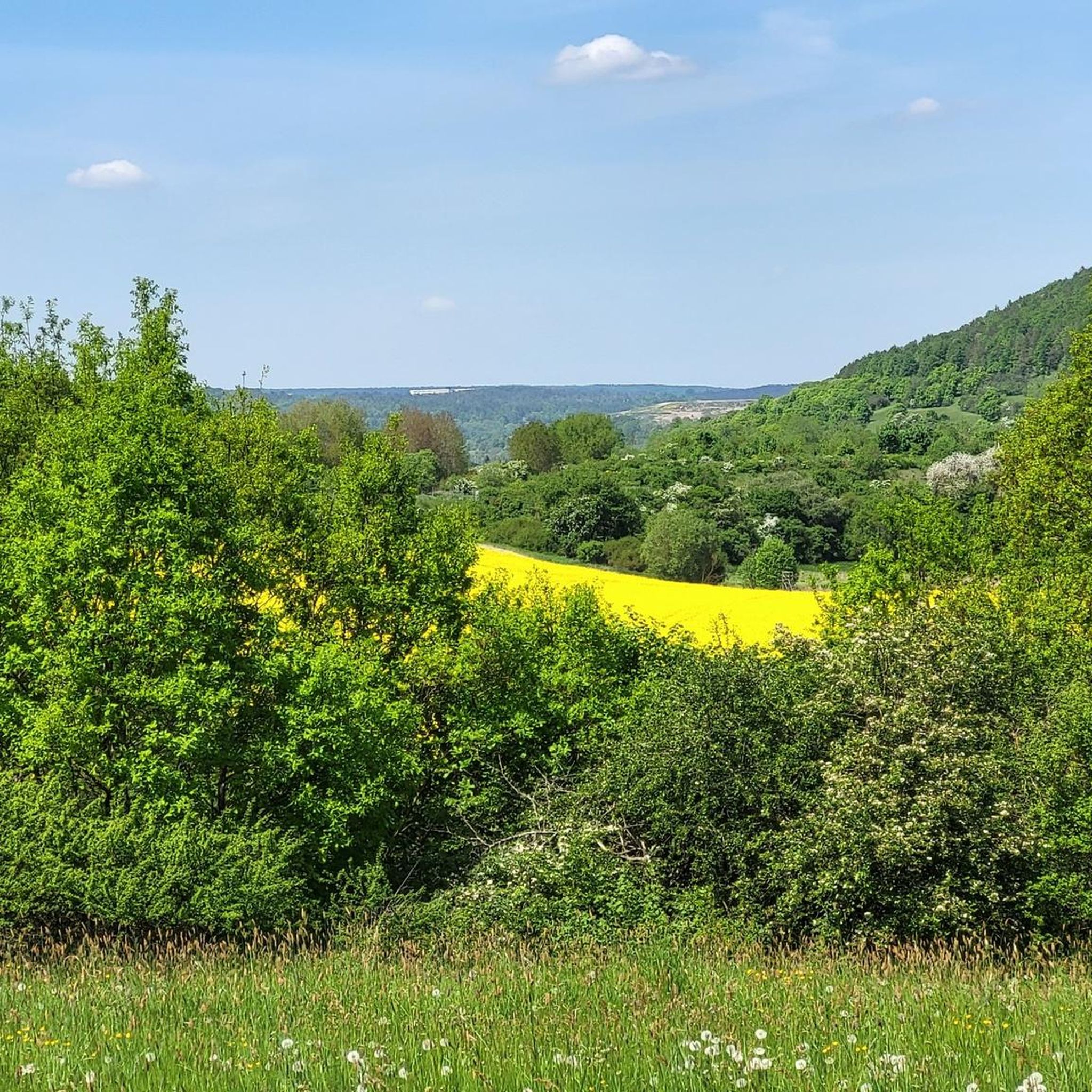
Hiking around Wölfershausen offers diverse landscapes within the Schmalkalden-Meiningen district of Thuringia, Germany. The region features dense mixed forests, rolling hills, and steep valleys, providing varied terrain for outdoor activities. Natural elements such as clear mountain brooks and vibrant mountain meadows characterize the area. As part of the broader Eichsfeld-Hainich-Werratal Nature Park, the landscape also includes the Werra Valley with its grazed river meadows and limestone rock formations.
Best hiking trails around Wölfershausen
- The most popular hiking route is View…
Last updated: July 1, 2026
5.0
(6)
21
hikers
Moderate hike. Good fitness required. Easily-accessible paths. Suitable for all skill levels.
4.7
(6)
12
hikers
11.4km
03:15
260m
260m
Moderate hike. Good fitness required. Easily-accessible paths. Suitable for all skill levels.

Sign up for free
4.0
(1)
5
hikers
7.83km
02:14
180m
180m
Moderate hike. Good fitness required. Easily-accessible paths. Suitable for all skill levels.
4.7
(3)
9
hikers
6.14km
01:39
80m
80m
Easy hike. Great for any fitness level. Easily-accessible paths. Suitable for all skill levels.
5.0
(2)
7
hikers
6.69km
01:55
170m
170m
Easy hike. Great for any fitness level. Easily-accessible paths. Suitable for all skill levels.
Get access to more routes and recommendations from other explorers.
Sign up for free
Already have an account?
Our route recommendations are based on thousands of hikes, rides, and runs completed by other people on komoot.
Start today with a free account
Your next adventure awaits.
Login or Signup
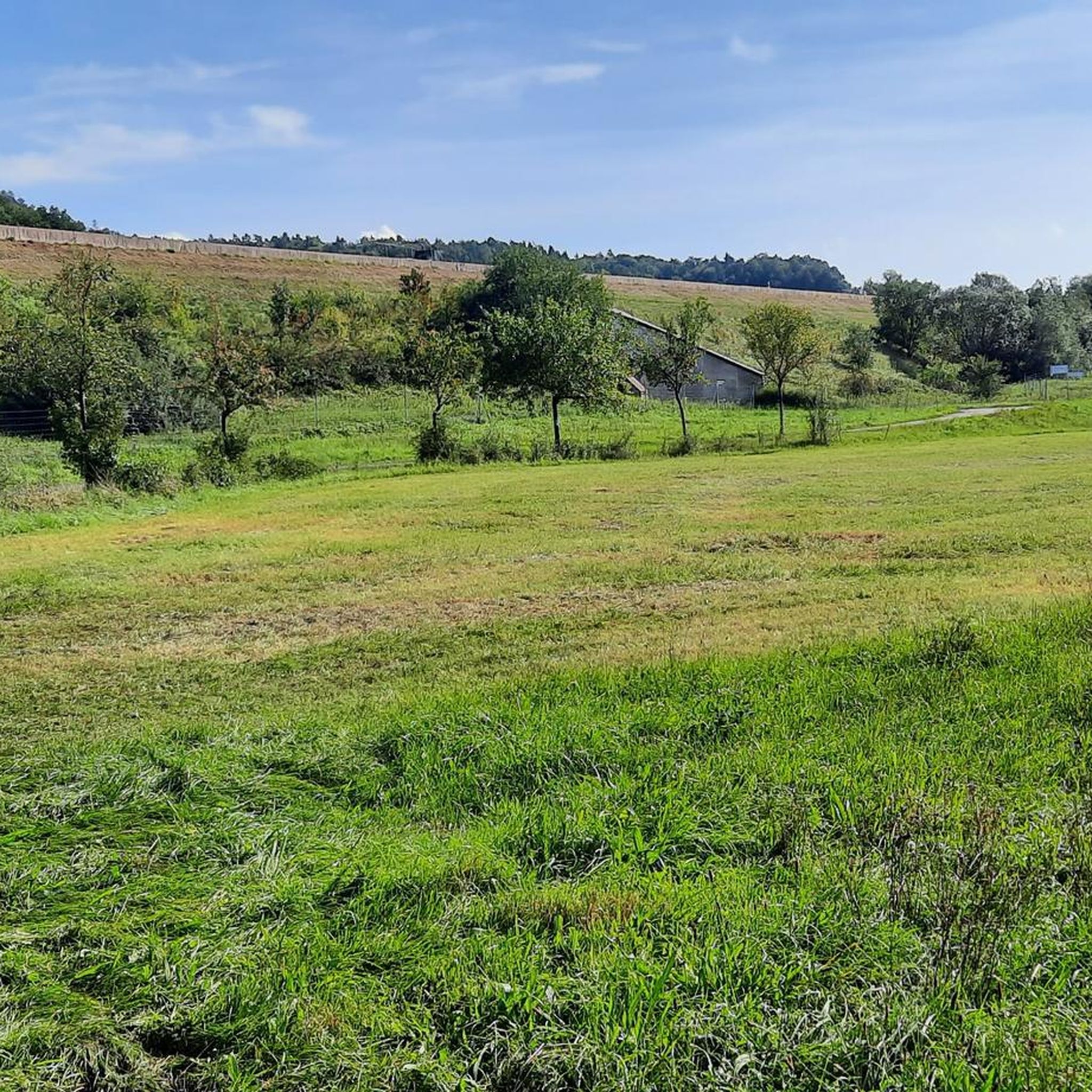
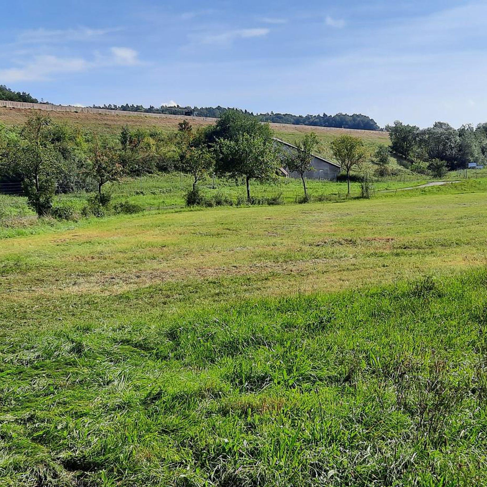
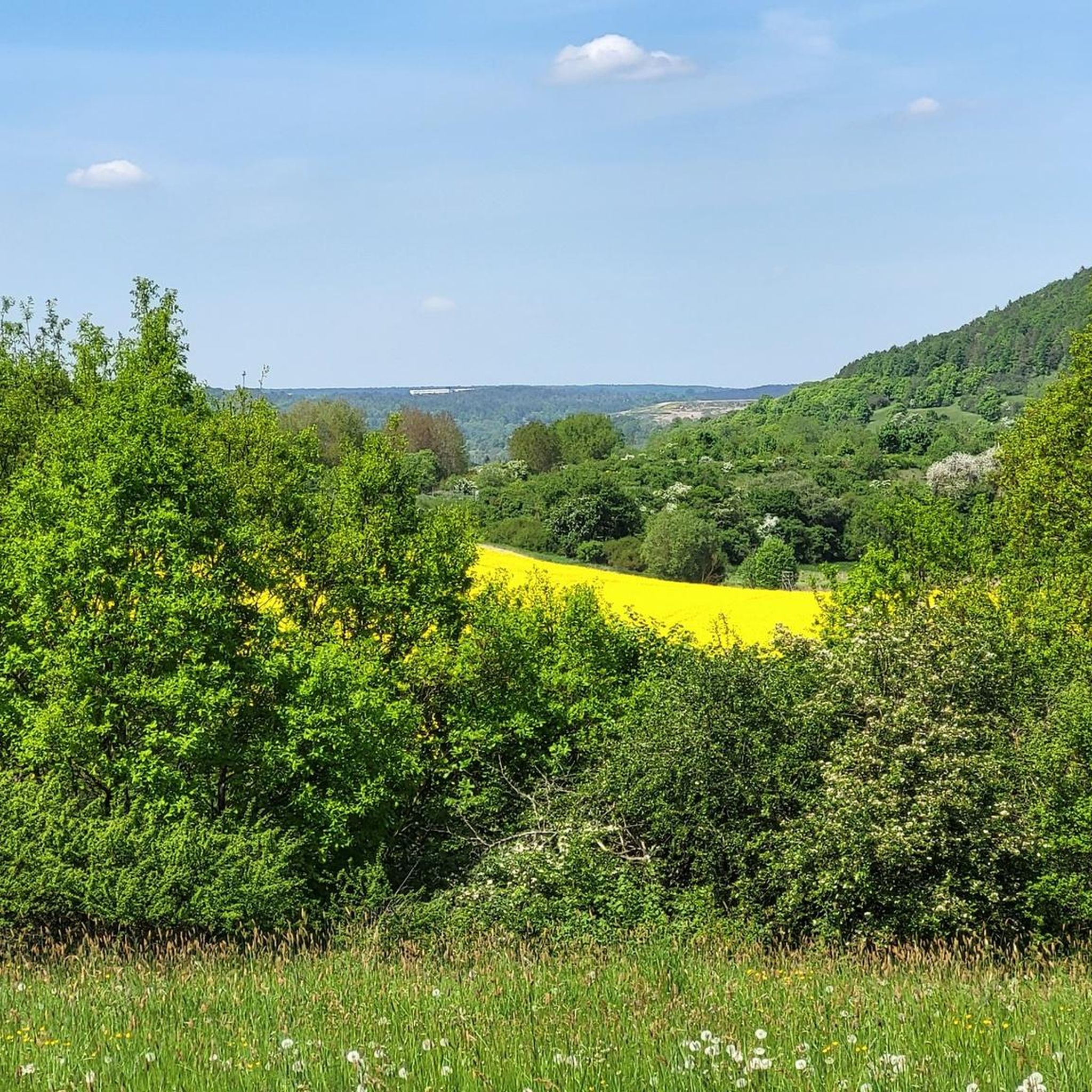
Tips from the Community

Small, fine place to linger. Here, one honors the tradition care by the citizens of Bauerbach, which has been practiced for 120 years and is dedicated to the memory of Schiller, who found refuge in the tranquil Bauerbach for a few years. The monument was inaugurated on May 5, 2025.
0
0

Added to the collection: https://www.komoot.com/de-de/collection/3600632/-naturdenkmaeler-besondere-baeume-und-weitere-schaetze-der-natur
1
0

Beautiful to look at, unfortunately we weren't allowed in and there was no information about when it would be possible.
1
0

A beautifully maintained fountain with drinking water.
1
0

A beautiful place in the middle of nature with a charm all of its own. The place would definitely have many exciting stories to tell. I always enjoy walking past here.
0
0
An interesting route steeped in history.
0
0

is located directly at the intersection to the Katzenlöcher
1
0
So the seating here is all really cute
0
0
Frequently Asked Questions
How many hiking trails are available around Wölfershausen?
There are over 390 hiking routes available around Wölfershausen. These trails offer a diverse range of experiences, from easy strolls to more challenging moderate hikes, catering to various fitness levels.
What kind of landscapes can I expect while hiking near Wölfershausen?
The region around Wölfershausen is characterized by picturesque and varied scenery. You can expect to traverse lush green landscapes with dense mixed forests of beech, fir, and spruce, rolling hills, and steep valleys. Natural elements like clear mountain brooks, high moors, and vibrant flowering mountain meadows are also common. The area is part of the broader Eichsfeld-Hainich-Werratal Nature Park, featuring the charming Werra Valley with grazed river meadows and striking limestone rock formations.
What do other hikers say about the trails in Wölfershausen?
The hiking routes in Wölfershausen are highly rated by the komoot community, with an average score of 4.6 stars from over 1200 reviews. Hikers often praise the diverse terrain, the well-maintained paths, and the scenic views of the Thuringian Forest and the Werra Valley.
Are there easy hiking trails suitable for beginners or families in Wölfershausen?
Yes, Wölfershausen offers a good selection of easy hiking trails perfect for families or those seeking a relaxed walk. For example, the St. Leo Church Bibra – Bibra Castle loop from Rentwertshausen is an easy route that takes you through pleasant landscapes. There are over 200 easy routes in the area.
Are there more challenging hikes around Wölfershausen?
While most trails are easy to moderate, there are some routes that offer a bit more challenge. The region's terrain includes rolling hills and steep valleys, providing dynamic and engaging routes for those looking for a moderate workout. For instance, the Schiller Museum Bauerbach – Spielbrunnen Fountain loop from Schillerhaus is a moderate 7.1-mile path that connects cultural sites with natural features.
Are there any circular hiking routes in the Wölfershausen area?
Yes, many of the hiking routes around Wölfershausen are circular, allowing you to start and end at the same point. A notable example is the Needle's Eye Linden – Kätzerode Historical Site loop from Schillerhaus, which leads through fields and forests.
What natural features or landmarks can I see along the hiking trails?
Hiking around Wölfershausen offers several interesting natural features and landmarks. You can explore dense mixed forests, clear mountain brooks, and vibrant mountain meadows. The area also features the picturesque Werra Valley with its limestone rock formations. Points of interest include the Path Along the Untermaßfeld Fish Ponds and the historic Old Wine Road sections.
Are there any viewpoints or scenic spots on the trails?
Yes, the region offers several viewpoints. The View of the Thuringian Forest – Henneburg Castle Ruins loop from Schillerhaus provides splendid views of the Thuringian Forest. Additionally, the View from the Diezhäuschen is a popular spot for panoramic vistas.
Are there any huts or shelters along the hiking routes?
Yes, the area around Wölfershausen features various huts and shelters that can serve as destinations or resting points during your hikes. Examples include the Bakunin Hut, Hofteich Shelter, and Cotta Hut.
Is Wölfershausen a dog-friendly hiking destination?
The natural landscapes and varied trails around Wölfershausen are generally welcoming for dogs. Many paths wind through forests and fields, providing ample space for your canine companion. However, always ensure your dog is under control and check for any local regulations regarding leash requirements, especially near wildlife or agricultural areas.
When is the best time of year to go hiking in Wölfershausen?
Wölfershausen offers beautiful hiking experiences throughout much of the year. Spring brings vibrant flowering meadows, while summer provides lush green forests. Autumn is particularly scenic with colorful foliage. While winter hikes are possible, be prepared for colder temperatures and potentially snowy or icy conditions on trails.
Are there options for public transport to reach hiking trailheads in Wölfershausen?
Wölfershausen is a smaller village, so public transport options might be limited compared to larger towns. It's advisable to check local bus schedules or regional train connections to nearby towns like Grabfeld, and then plan your route to trailheads accordingly. Driving and parking are often the most convenient options for accessing many of the trails.
Where can I find parking for hiking in Wölfershausen?
While specific parking areas for every trailhead are not detailed, generally in smaller villages like Wölfershausen, you can often find parking near village centers, local amenities, or designated hiking starting points. It's recommended to check local signage upon arrival or use navigation apps to locate suitable parking spots close to your chosen trail.
Most popular attractions around Wölfershausen

Get inspired with the komoot mobile app


Explore more
Browse the best Hikes in other regions.
