The best walks and hikes around Hail Weston
4.5
(310)
2,750
hikers
171
hikes
Hiking around Hail Weston offers diverse outdoor opportunities across open countryside, woodlands, and areas near the River Ouse. The region features a mix of accessible trails and natural surroundings, providing varied scenery for walkers. Paths range from easy strolls to more moderate routes, catering to different fitness levels.
Best hiking trails around Hail Weston
- The most popular hiking route is Ouse Valley Way – View of Heronry North Lake loop from Little Paxton, a 3.6 miles (5.7 km) trail…
Last updated: October 18, 2026
20
hikers
Easy hike. Great for any fitness level. Easily-accessible paths. Suitable for all skill levels.
4.0
(2)
13
hikers
9.82km
02:30
30m
40m
Moderate hike. Good fitness required. Easily-accessible paths. Suitable for all skill levels.

12
hikers
3.90km
01:01
30m
30m
Easy hike. Great for any fitness level. Easily-accessible paths. Suitable for all skill levels.
8
hikers
12.7km
03:15
50m
50m
Moderate hike. Good fitness required. Easily-accessible paths. Suitable for all skill levels.
8
hikers
3.68km
00:56
10m
10m
Easy hike. Great for any fitness level. Easily-accessible paths. Suitable for all skill levels.
Get access to more routes and recommendations from other explorers.
Already have an account?
Our route recommendations are based on thousands of hikes, rides, and runs completed by other people on komoot.
Start today with a free account
Your next adventure awaits.



Tips from the Community

Tea and cofee vailable from 3 outlets around the square. Great for a rest in the sun and to watch the world go by.
0
0

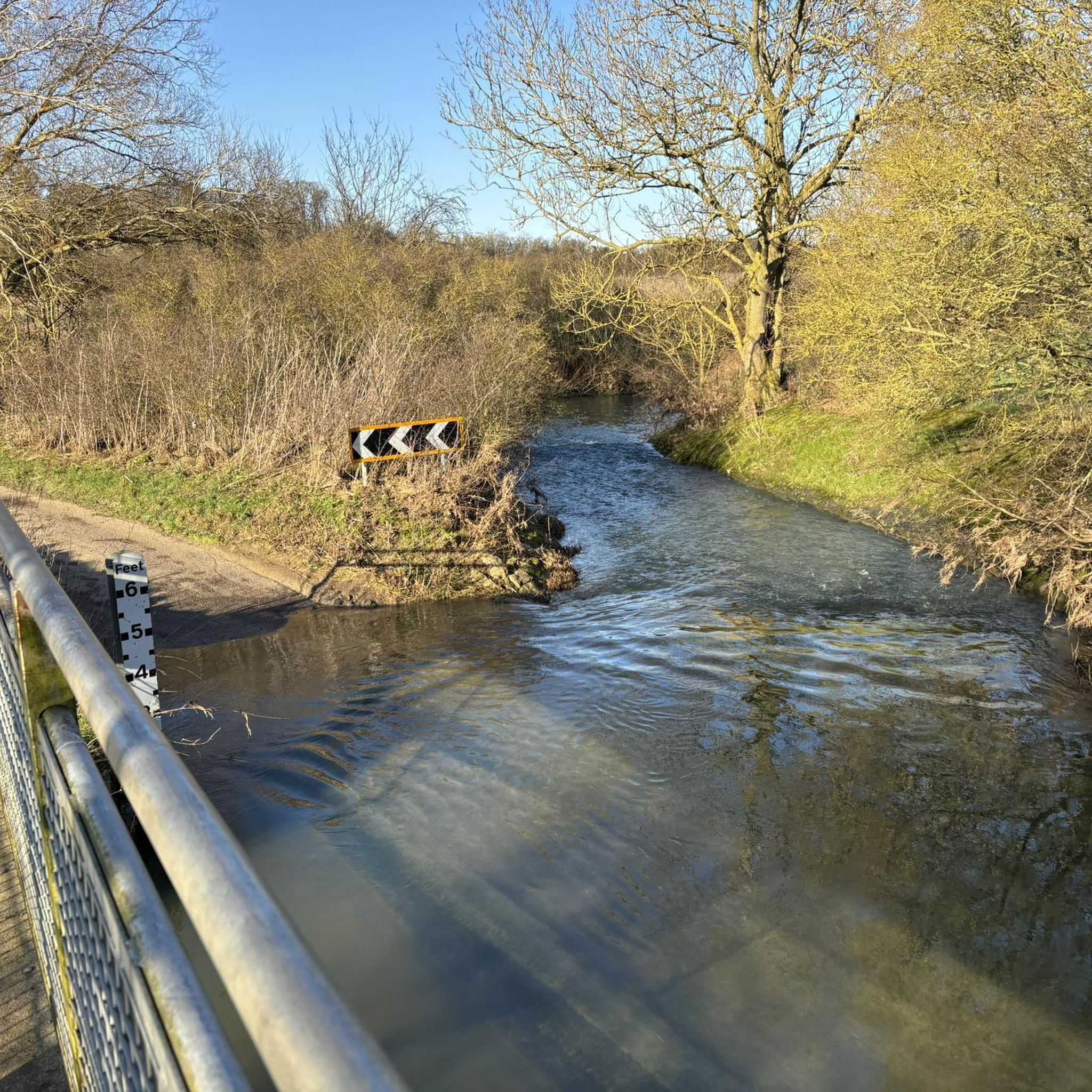
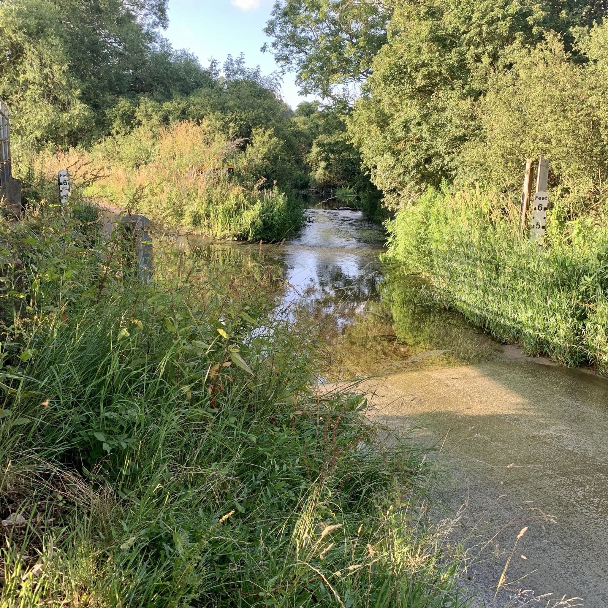
Nice approach from the south down an avenue of trees. Ford is definitely not rideable on road tyres except maybe after a long dry spell - use the footbridge. Road to the north is very broken in stretches.
0
0

Don't follow Komoot strictly (like I did) 😉 - obey the signs from farmer/landowner & NCN signs - small mistakes can be forgiven, I suppose, when we new to the area.
0
0
The main road that runs down one side of it is pretty busy but there are a few cafes around if you want to stop.
0
0

Here there are beds of reeds up to 2m high which are especially important for birds.
0
0
There are two species of newt in this pond: great-crested and smooth. These amphibians use the pond to breed and can often be seen moving around amongst the plants on bright days. The eggs are neatly placed inside a rolled up leaf for protection. The pond is regularly visited by dragon- and damselflies, sometimes ducks and moornens or the odd occasion! Source: Local signage
0
0
Bardon Aggregates welcomes you to their Little Paxton quarry and hope you are enjoying your walk. We are delighted to have played our part in the creation of the Nature Reserve and Site of Special Scientific Interest.
0
0
View of Heronry North Lake looking southwards.
0
0
Frequently Asked Questions
How many hiking trails are available in Hail Weston?
Hail Weston offers a wide variety of hiking opportunities, with over 170 routes available. These trails cater to different preferences, ranging from easy strolls to more moderate and challenging hikes.
What types of landscapes can I expect to see while hiking around Hail Weston?
Hiking around Hail Weston provides diverse scenery, including open countryside, peaceful woodlands, and picturesque paths along the River Ouse. You'll encounter a mix of natural features that define the Cambridgeshire landscape.
Are there easy hiking options suitable for beginners or families?
Yes, Hail Weston has many easy hiking options perfect for beginners or families. Over 110 of the routes are classified as easy. For example, the Hail Weston Village Sign loop from Hail Weston is an easy 2.4-mile trail that takes about an hour to complete, leading through the village and surrounding accessible paths.
Can I find circular hiking routes in the area?
Many of the hiking routes in Hail Weston are designed as circular paths, allowing you to start and end at the same point. This includes popular options like the Ouse Valley Way – View of Heronry North Lake loop from Little Paxton, which offers scenic views and is an easy 3.6-mile loop.
Are there any trails that follow the River Ouse?
Yes, sections of the Ouse Valley Way pass near Hail Weston, offering delightful riverside walks along the River Ouse. These routes provide gentle rambles and opportunities to enjoy the natural beauty of the river, often meandering past nature reserves.
What are some notable landmarks or attractions I can visit on a hike?
While hiking, you can explore various points of interest. The Hail Weston Village Sign – St Neots War Memorial loop from St. Neots connects village landmarks. You might also encounter natural highlights like Paxton Pits Nature Reserve or historical sites such as Buckden Towers and Gardens, which are accessible in the wider area.
Are the trails around Hail Weston suitable for dogs?
Many of the trails around Hail Weston, particularly those through open countryside and woodlands, are suitable for dogs. It's always recommended to keep dogs under control, especially near livestock, and to check local signage for any specific restrictions in nature reserves or protected areas.
Where can I find parking for hiking trails in Hail Weston?
Parking availability varies by trailhead. Many routes are designed to start and end at local establishments like The Royal Oak pub in Hail Weston, which may offer parking for patrons. For other trails, look for designated public parking areas in nearby villages or along main roads, ensuring you park responsibly and legally.
Are there any hikes that start or end near local pubs?
Yes, several walks in the Hail Weston area are conveniently designed to start and end at local pubs, such as The Royal Oak in Hail Weston. This allows for easy access to the trails and the opportunity for refreshments afterwards. Examples include shorter strolls like 'Across the Fields and along Ford End' or longer options like 'Midloe Grange and Southoe'.
What is the typical duration for hikes in Hail Weston?
Hikes in Hail Weston vary in duration. Easy strolls can take as little as 40 minutes to two hours, while more moderate routes, such as the St Neots War Memorial – Priory Park loop from St. Neots (7.9 miles), might take over three hours. The duration depends on the trail's length and your pace.
What do other hikers say about the trails in Hail Weston?
The trails in Hail Weston are highly regarded by the komoot community, with an average rating of 4.5 stars from over 270 reviews. Hikers often praise the varied terrain, the peaceful countryside, and the well-maintained paths that make exploring the area enjoyable.
Are there any specific nature reserves or wildlife areas accessible by trail?
Yes, the area around Hail Weston provides access to notable nature spots. The Wildlife Pond – Nene Wetlands Visitor Centre loop from Little Paxton is an easy 2.3-mile route that takes you past a wildlife pond. Additionally, sections of the Ouse Valley Way pass by nature reserves like Paxton Pits Nature Reserve, offering opportunities for birdwatching and enjoying local flora and fauna.
How accessible are the trails in Hail Weston for different fitness levels?
The trails in Hail Weston are quite accessible, catering to a wide range of fitness levels. There are numerous easy strolls suitable for all abilities, as well as moderate routes for those seeking a longer or slightly more challenging experience. The diverse network ensures there's something for everyone.
Most popular attractions around Hail Weston

Get inspired with the komoot mobile app


Explore more
Browse the best Hikes in other regions.
