The best MTB trails around Wölferlingen
4.7
(2639)
6,474
riders
454
rides
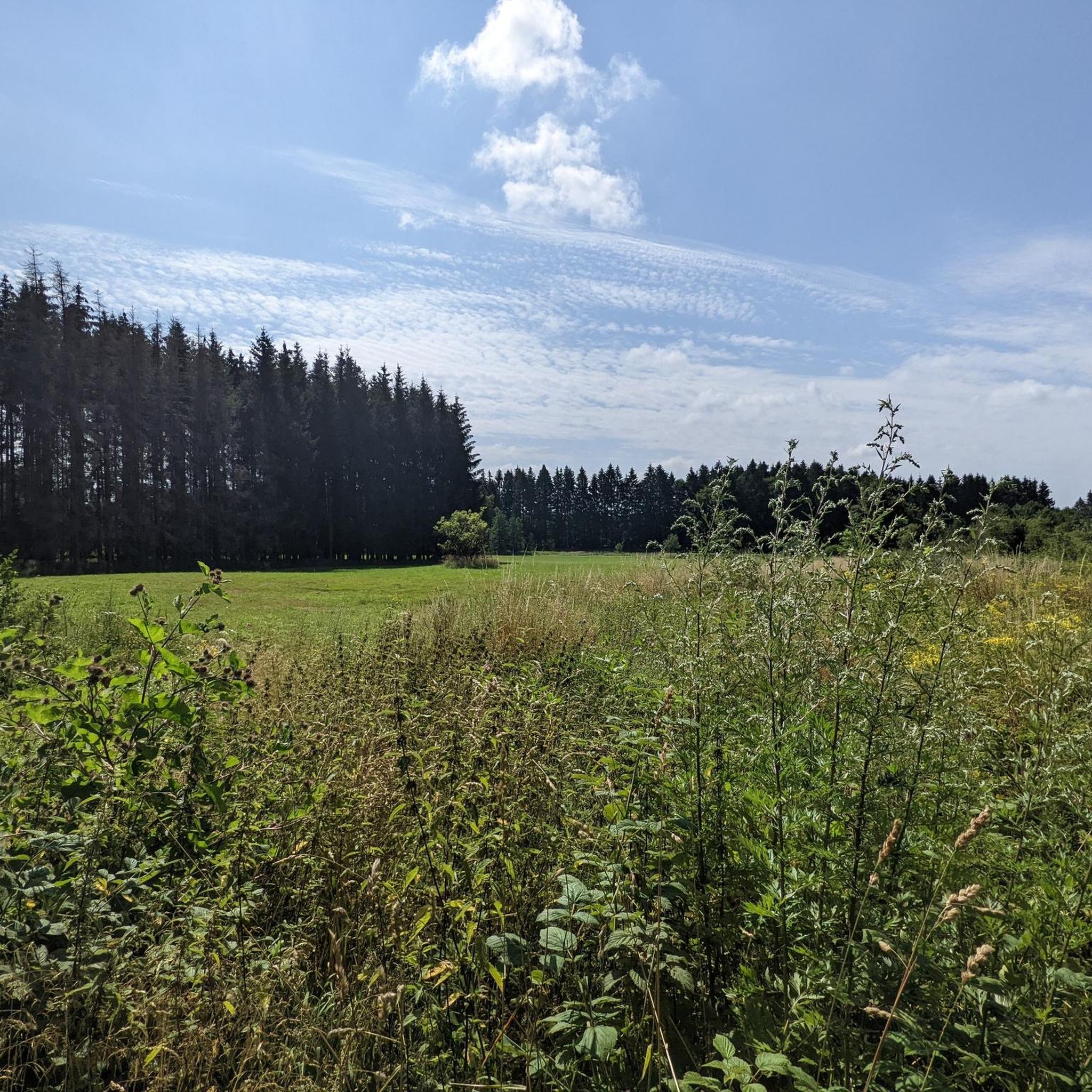
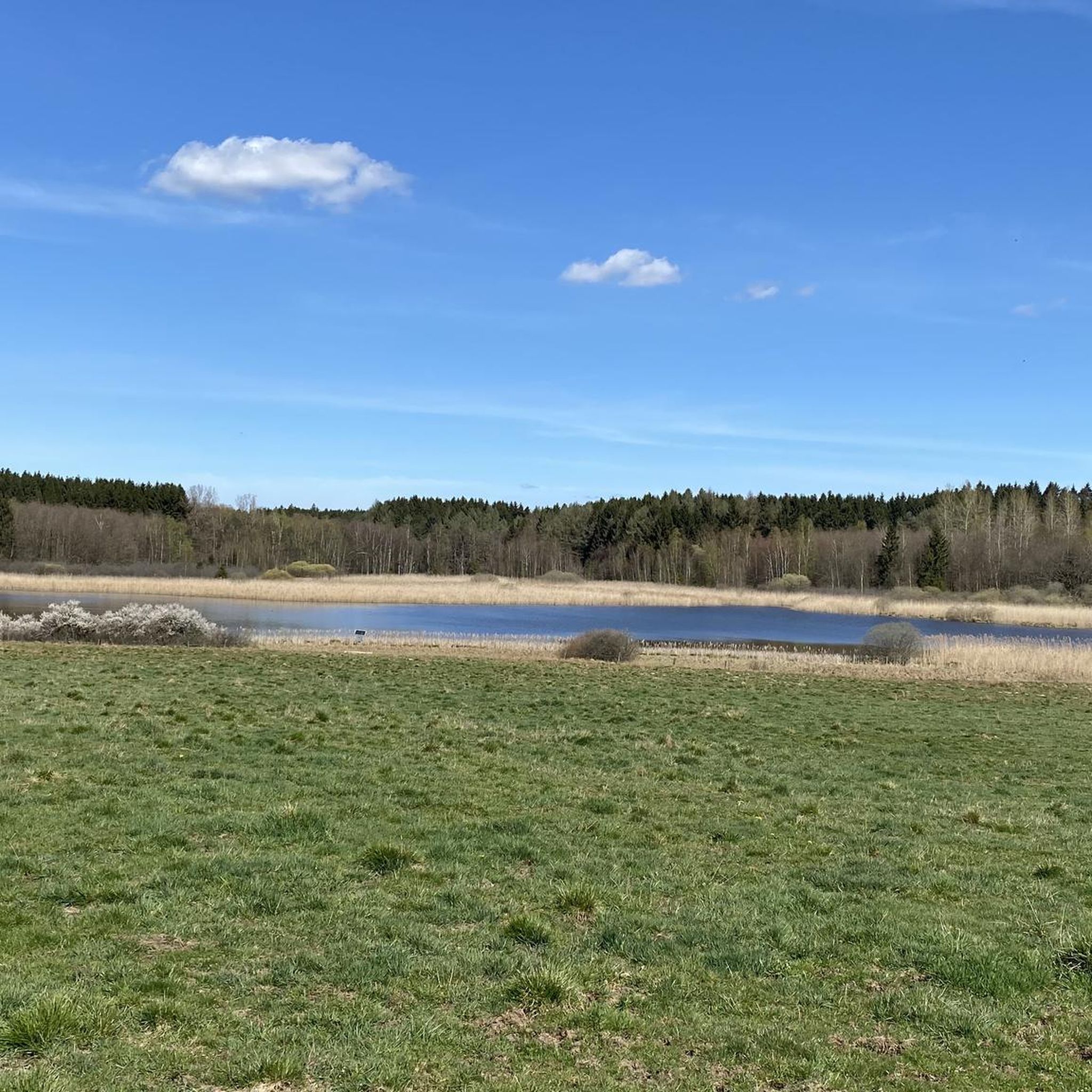
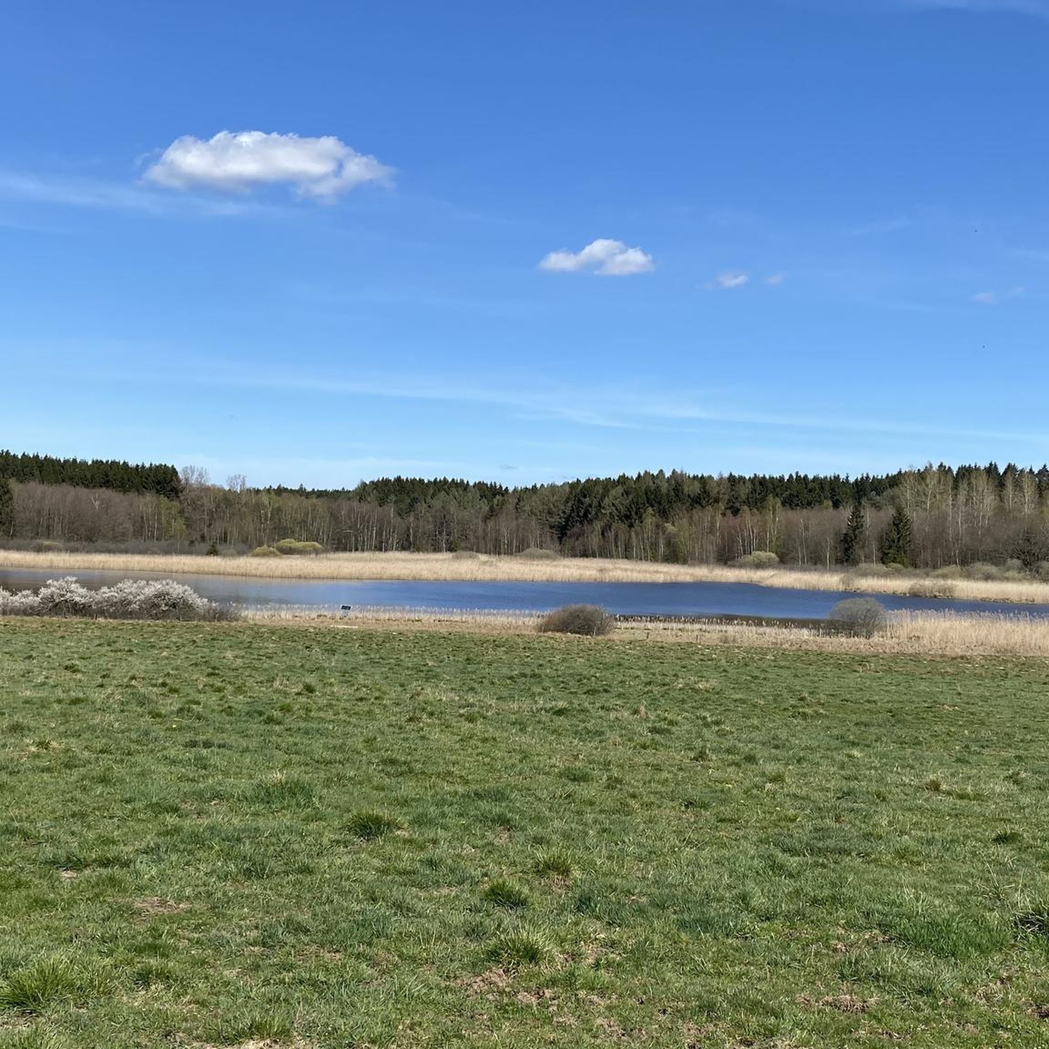
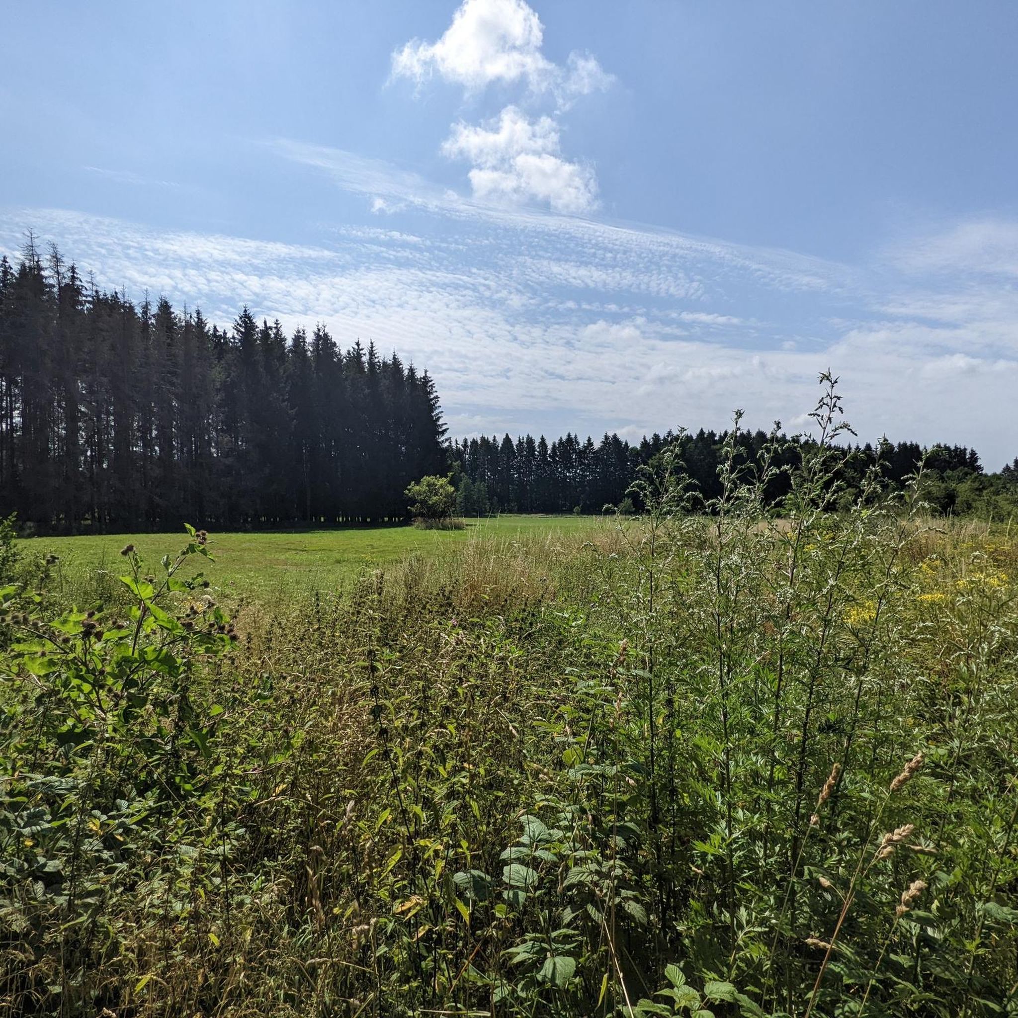
Mountain biking around Wölferlingen features a landscape characterized by rolling hills, dense woodlands, and numerous ponds, including the Dreifelder Weiher. The terrain offers a mix of forest paths and open stretches, providing varied riding experiences. Elevations are generally moderate, making the area accessible for different skill levels.
Best mountain bike trails around Wölferlingen
- The most popular mountain bike trail is Dreifelder Weiher – Dreifelder Weiher loop from Freilingen, a 10.5 miles (16.9 km) trail that takes 1 hour 15…
Last updated: July 5, 2026
4.9
(15)
40
riders
17.1km
01:17
140m
140m
Moderate mountain bike ride. Great for any fitness level. Advanced riding skills necessary.
4.9
(12)
23
riders
36.4km
02:39
410m
410m
Moderate mountain bike ride. Good fitness required. Suitable for all skill levels.

Sign up for free
4.8
(10)
18
riders
34.7km
02:12
330m
330m
Moderate mountain bike ride. Good fitness required. Suitable for all skill levels.
4.9
(15)
16
riders
21.6km
01:33
220m
220m
Easy mountain bike ride. Great for any fitness level. Suitable for all skill levels.
4.3
(4)
7
riders
Moderate mountain bike ride. Good fitness required. Suitable for all skill levels.
Get access to more routes and recommendations from other explorers.
Sign up for free
Already have an account?
Our route recommendations are based on thousands of hikes, rides, and runs completed by other people on komoot.
Start today with a free account
Your next adventure awaits.
Login or Signup

Tips from the Community

Very nice cycle path, unfortunately with very rough gravel 🥺
1
0

Always worth a visit, the "Schmandibbe" in Hartenfels.
0
0

Very nice.
1
0

An old treasure that still holds up and offers great views of the whirlpools. Of course, you can also just walk across.
1
0
Very lovingly written...
1
0

Pay extreme attention to the traffic coming from the direction of Marienrachdorf
2
0

A beautiful descent to Goddert.
1
0
Frequently Asked Questions
What is the general difficulty level of mountain bike trails in Wölferlingen?
The mountain bike trails around Wölferlingen offer a varied experience suitable for different skill levels. The region features rolling hills and moderate elevations. Out of nearly 450 routes, 103 are rated as easy, 325 as moderate, and 20 as difficult, ensuring options for everyone from beginners to more experienced riders.
Are there family-friendly mountain bike trails in Wölferlingen?
Yes, Wölferlingen offers several family-friendly mountain bike trails. Many of the 103 easy routes are suitable for families. A good option is the Dreifelder Pond – Hofmanns Pond loop from Freilingen, an easy 12.5-mile (20.1 km) path that traverses varied terrain between two significant ponds, perfect for a relaxed ride.
What are the typical lengths of mountain bike trails around Wölferlingen?
Mountain bike trails in Wölferlingen vary significantly in length. You can find shorter routes, such as the popular Dreifelder Weiher – Dreifelder Weiher loop from Freilingen at 10.5 miles (16.9 km), up to longer excursions like the Ford Near Härtlingen – Hildegardis Chapel and Spring loop from Westerwaldkreis, which covers 26.7 miles (43 km).
What can I see along the mountain bike trails in Wölferlingen?
The trails often lead through dense woodlands and past numerous ponds. You can encounter beautiful natural sights like the Dreifelder Pond and the Wiesensee. Some routes also offer scenic viewpoints, such as the View of the Dreifelder Pond, and unique features like the Wooden boardwalks at the Dreifelder Weiher.
Are there any circular mountain bike routes in Wölferlingen?
Yes, many of the mountain bike trails in Wölferlingen are designed as circular routes, allowing you to start and end at the same point. Examples include the Dreifelder Weiher – Dreifelder Weiher loop from Freilingen and the View of Burg Hartenfels – View of Hartenfels Castle loop from Freilingen, which is a moderate 21.3-mile (34.3 km) ride.
What is the best time of year to go mountain biking in Wölferlingen?
The best time for mountain biking in Wölferlingen is generally from spring through autumn (April to October). During these months, the weather is usually mild, and the trails are dry and well-maintained. The dense woodlands offer pleasant shade in summer, and the autumn colors provide a beautiful backdrop.
What do other mountain bikers enjoy the most about mountain biking in Wölferlingen?
The area is highly rated by the komoot community, with an average score of 4.7 stars from over 2100 reviews. Reviewers often praise the varied terrain, the beautiful lake views, and the well-maintained forest paths that cater to different skill levels. The peaceful natural environment is also frequently highlighted.
Are there any specific bike parks or technical trails in the Wölferlingen area?
While Wölferlingen itself is known for its scenic trails, the broader region offers dedicated bike park experiences. You can find more technical sections and trails like the Katzenstein Trail or the Dreisbach Forest Mountain Bike Trail in nearby areas, which are part of the wider network of bike parks around Wölferlingen.
Are there facilities or places to rest along the trails?
Many routes pass by the numerous ponds in the region, some of which offer facilities. For example, the Lakeside Rest Area at Wiesensee provides a spot to pause and enjoy the scenery. Specific details about cafes or restaurants are usually found on individual route pages or local tourist information.
How many mountain bike trails are available around Wölferlingen?
There are over 440 mountain bike trails available around Wölferlingen, offering a wide range of options for all skill levels and preferences. This extensive network ensures that you can always find a new route to explore.
What kind of terrain can I expect on the mountain bike trails?
The terrain around Wölferlingen is characterized by rolling hills, dense woodlands, and numerous ponds. You can expect a mix of forest paths, gravel tracks, and open stretches, providing varied riding experiences. Elevations are generally moderate, making the area accessible for different skill levels.
Most popular routes around Wölferlingen
Most popular attractions around Wölferlingen

Get inspired with the komoot mobile app


Explore more
Browse the best MTB trails in other regions.
