Middleton And Smerrill
Middleton And Smerrill
The best running trails around Middleton And Smerrill
4.6
(71)
11,242
runners
323
runs
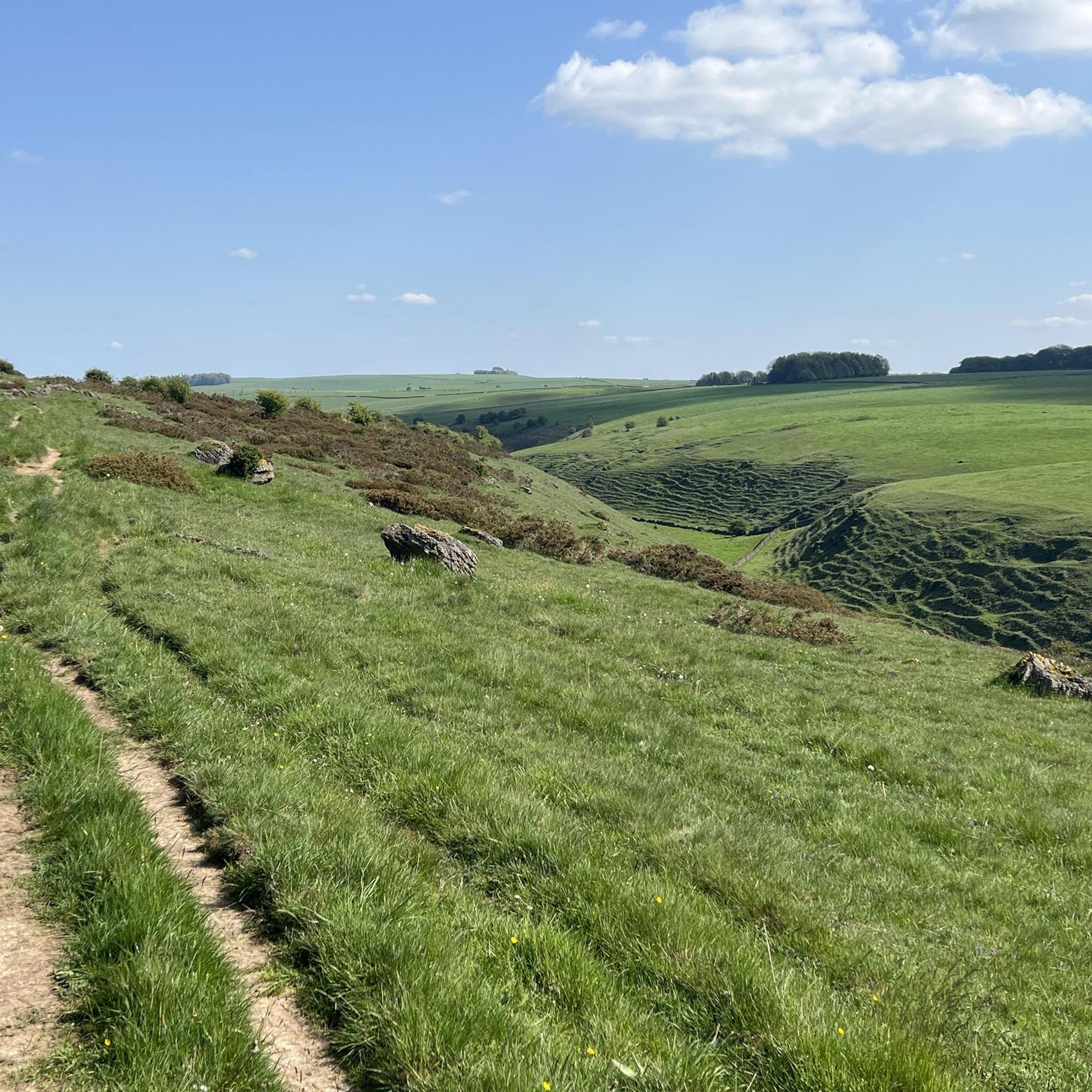
Jogging routes around Middleton And Smerrill traverse a landscape of undulating limestone dales, green pastures, and traditional dry-stone walls within the southern Peak District National Park. The region features crystal-clear rivers like the Lathkill and Bradford, offering a mix of riverside sections and ascents. Runners can explore open fields, high moorland, and distinctive geological formations, including the Monsal Trail. This area provides varied terrain suitable for different running preferences.
Best jogging routes around Middleton And Smerrill
- The most popular jogging…
Last updated: June 29, 2026
28
runners
Moderate run. Good fitness required. Mostly paved surfaces. Suitable for all skill levels.
38
runners
Moderate run. Good fitness required. Mostly paved surfaces. Suitable for all skill levels.

Sign up for free
24
runners
Moderate run. Good fitness required. Mostly paved surfaces. Suitable for all skill levels.
4.0
(1)
20
runners
15.1km
01:34
110m
110m
Hard run. Very good fitness required. Mostly paved surfaces. Suitable for all skill levels.
10
runners
8.94km
00:59
190m
190m
Moderate run. Good fitness required. Mostly paved surfaces. Suitable for all skill levels.
Get access to more routes and recommendations from other explorers.
Sign up for free
Already have an account?
Our route recommendations are based on thousands of hikes, rides, and runs completed by other people on komoot.
Start today with a free account
Your next adventure awaits.
Login or Signup
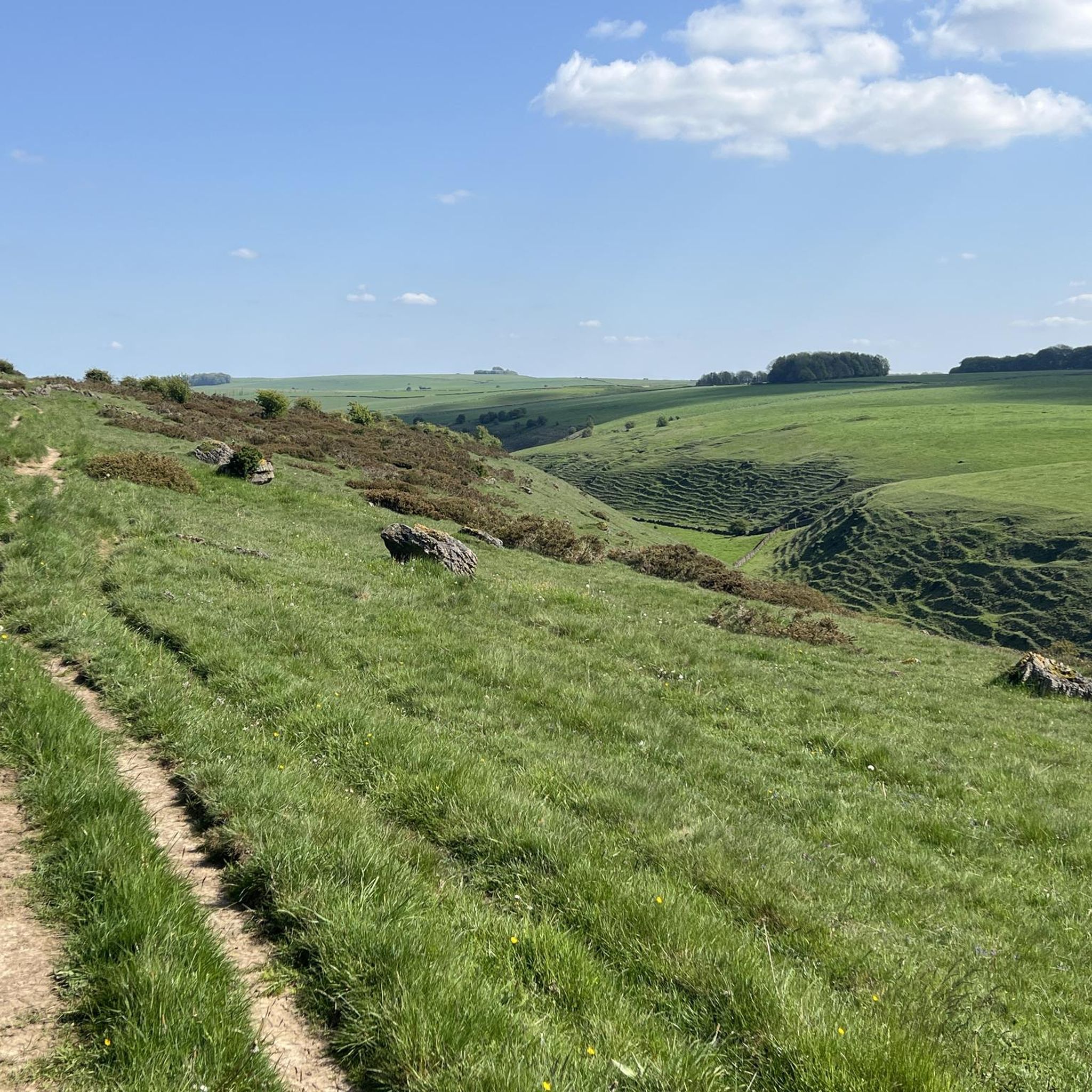
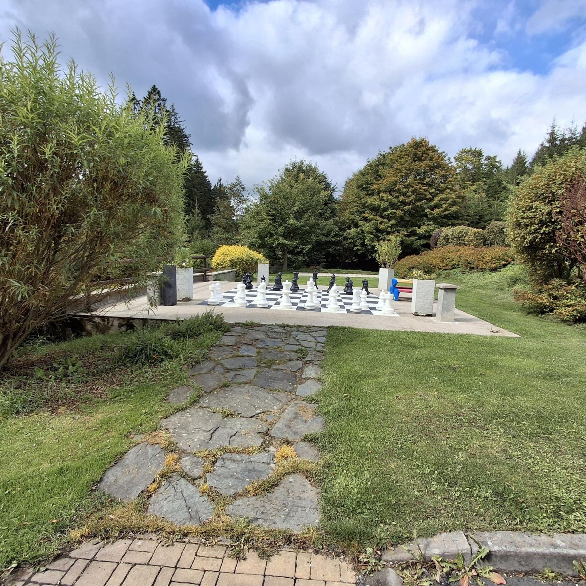
Tips from the Community

Lots of useful facilities, from toilet to refreshment to bike repair.
0
0


Great views here where the trails cross and just up the trail is a cafe with toilets if you fancy a break
0
0
A nice little visitor centre
1
0
Small town in the national park with visitor centre
1
0

Helpful guys at the bike place, fixed up our Tandem very nicely!
0
0
Frequently Asked Questions
How many running routes are available in Middleton And Smerrill?
Middleton And Smerrill offers a wide variety of running routes, with over 320 different options to explore. These range from easy paths to more challenging trails, catering to all fitness levels.
Are there easy running routes suitable for beginners in Middleton And Smerrill?
Yes, there are several easy running routes perfect for beginners. For example, the Istrian stone hut at Parsley Hay – Istrian Kazun Stone Shelter loop from Arbor Low is a moderate 4.0-mile (6.5 km) trail that leads through open fields and past historic sites, with minimal elevation gain. The Monsal Trail also offers accessible, relatively flat sections.
What kind of terrain can I expect on jogging routes around Middleton And Smerrill?
The terrain around Middleton And Smerrill is diverse, featuring undulating limestone dales, green pastures, and traditional dry-stone walls. You'll find paths following crystal-clear rivers like the Lathkill and Bradford, open fields, and high moorland. Some routes, like those near Chrome Hill, offer more challenging and visually dramatic landscapes.
Are there any scenic running trails with notable views?
Absolutely. The region is known for its scenic beauty. Monsal Dale offers breathtaking views, especially from viewpoints like Monsal Head, overlooking the iconic Headstone Viaduct. Trails through Lathkill Dale and Bradford Dale also provide picturesque riverside sections and stunning natural beauty.
Can I find circular running routes in the area?
Yes, many running routes in Middleton And Smerrill are circular, allowing you to start and finish at the same point. A popular option is the Lathkill Dale Waterfalls loop from Youlgrave, which is a challenging 10.3-mile (16.5 km) circular trail.
Are there running routes that pass by waterfalls?
Yes, the Lathkill Dale Waterfalls loop from Youlgrave is a notable route that features waterfalls along its path, offering a beautiful and refreshing experience during your run.
Are the running trails in Middleton And Smerrill suitable for families?
Many trails are suitable for families, especially those that are relatively flat and traffic-free. The Monsal Trail, for instance, is an excellent option for families due to its accessible surface and stunning views. Shorter loops through open fields, such as those near Arbor Low, can also be enjoyable for families.
What are some interesting landmarks or attractions I can see while jogging?
While jogging, you can encounter several interesting landmarks. The Thorpe Cloud and the picturesque Dovedale Stepping Stones and the River Dove are popular sights. You might also pass historic sites like the Arbor Low Stone Circle and Gib Hill Burial Mound on routes through open fields.
Are there any traffic-free running paths in Middleton And Smerrill?
Yes, the region boasts excellent traffic-free options. The Monsal Trail, a former railway line, is a major draw, offering a flat and accessible surface with spectacular views. Similarly, the Tissington Trail also follows a former railway line, providing a smooth, traffic-free experience.
What do other runners say about the routes in Middleton And Smerrill?
The running routes in Middleton And Smerrill are highly rated by the komoot community, with an average score of 4.6 stars from over 90 reviews. Runners often praise the varied terrain, the stunning natural beauty of the dales, and the well-maintained paths that offer both gentle riverside sections and challenging ascents.
Are there options for longer, more challenging runs?
Definitely. For experienced trail runners seeking a challenge, routes like the Lathkill Dale Waterfalls loop from Youlgrave offer significant elevation gain over 10.3 miles (16.5 km). The distinctive geological formation of Chrome Hill also provides a rewarding challenge with amazing views.
Where can I find parking for the running routes?
Parking is generally available at key access points for popular trails. For routes starting near Arbor Low, there are parking facilities. Many trailheads, especially those for the Monsal Trail and Tissington Trail, have designated car parks. It's advisable to check specific route details for the most convenient parking options.
Are there running routes accessible by public transport?
While many routes are best accessed by car, some areas within the Peak District National Park are served by local bus routes. For specific public transport options to trailheads, it's recommended to check local bus schedules for services connecting to villages like Youlgrave or near the Monsal Trail access points.
Most popular routes around Middleton And Smerrill
Most popular attractions around Middleton And Smerrill

Get inspired with the komoot mobile app


Explore more
Browse the best Running Trails & Routes in other regions.
