The best walks and hikes around Wittgendorf
4.6
(6111)
20,050
hikers
885
hikes
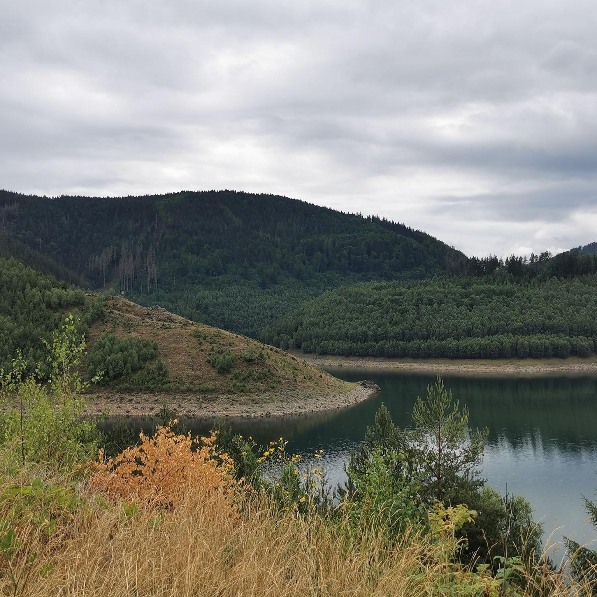
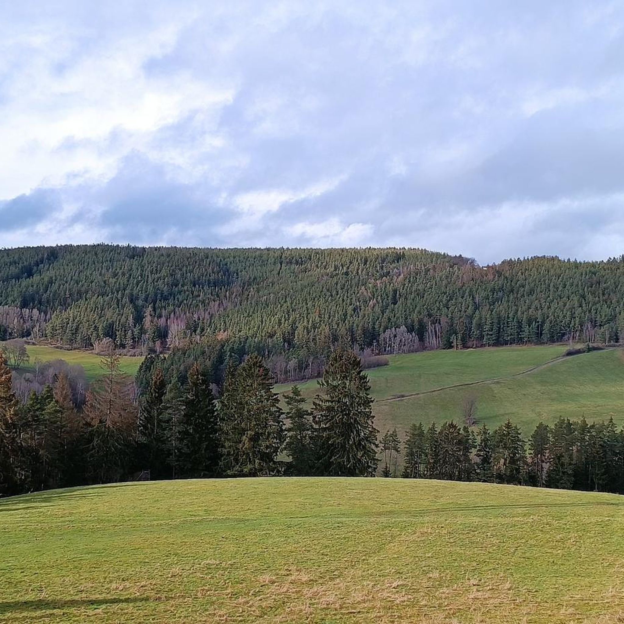
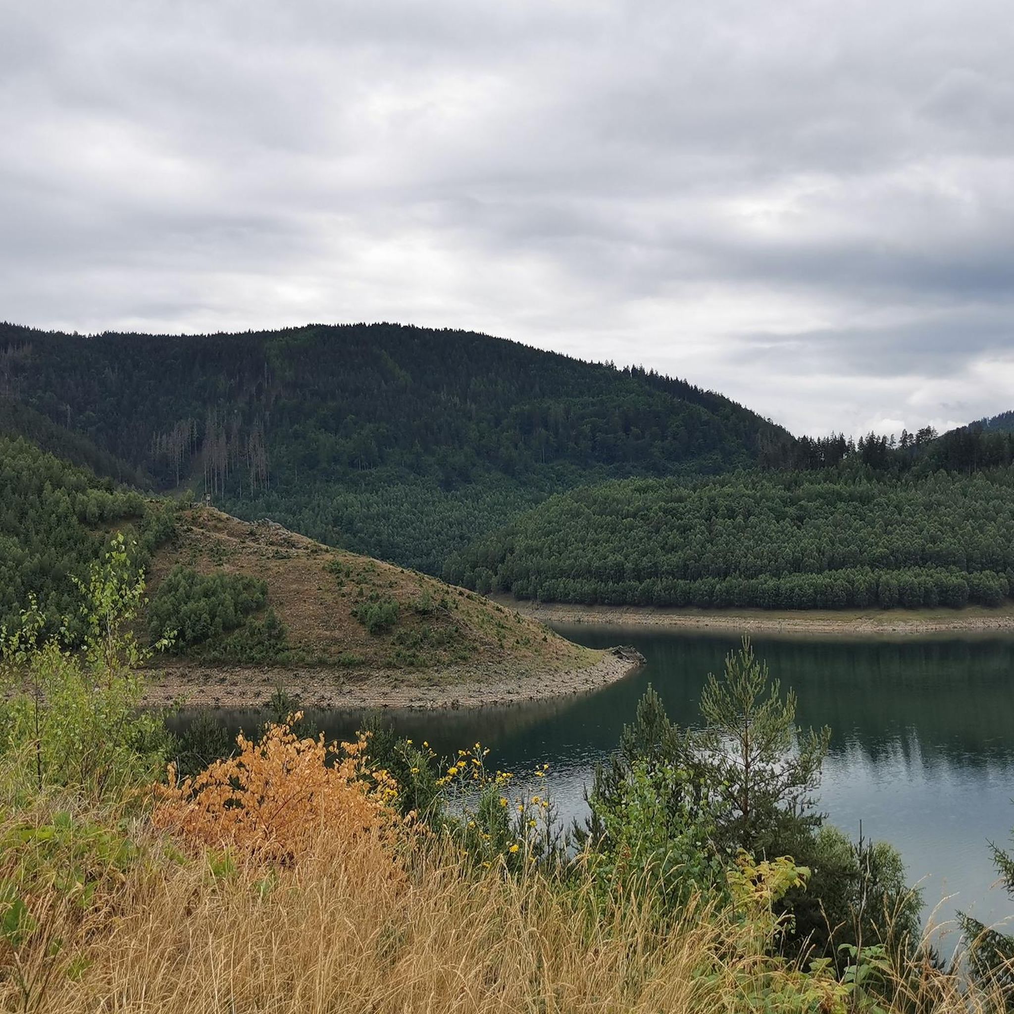
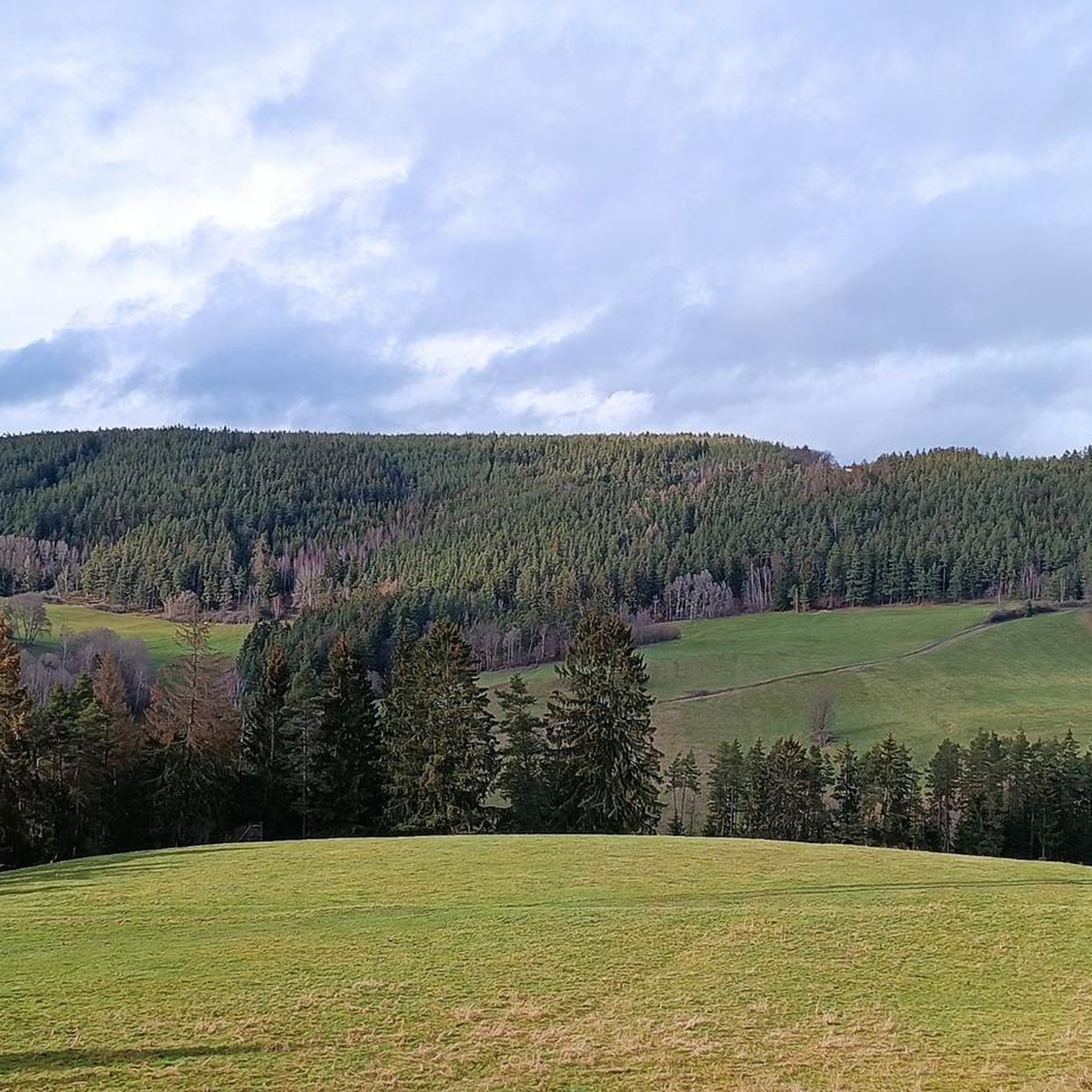
Hiking around Wittgendorf offers access to the Thuringian Forest Nature Park, characterized by low mountain ranges, dense forests, and verdant valleys. The village is situated at approximately 1,840 feet (560 meters) above the Sorbitztal, a notable valley for hiking. The landscape includes features such as the Talberg hill and the Elschnitztalbach stream, contributing to varied hiking terrain.
Best hiking trails around Wittgendorf
- The most popular hiking route is View of Volkmannsdorf – Elsterschänke Dam loop from Wittgendorf, a 6.0…
Last updated: August 17, 2026
5.0
(2)
18
hikers
9.66km
02:43
190m
200m
Moderate hike. Good fitness required. Easily-accessible paths. Suitable for all skill levels.
5.0
(3)
7
hikers
6.90km
02:03
200m
190m
Moderate hike. Good fitness required. Easily-accessible paths. Suitable for all skill levels.

Sign up for free
5.0
(4)
8
hikers
5.85km
01:49
220m
220m
Easy hike. Great for any fitness level. Easily-accessible paths. Suitable for all skill levels.
4.0
(2)
6
hikers
13.8km
04:31
620m
620m
Moderate hike. Good fitness required. Easily-accessible paths. Suitable for all skill levels.
5
hikers
11.1km
03:08
250m
250m
Moderate hike. Good fitness required. Easily-accessible paths. Suitable for all skill levels.
Get access to more routes and recommendations from other explorers.
Sign up for free
Already have an account?
Our route recommendations are based on thousands of hikes, rides, and runs completed by other people on komoot.
Start today with a free account
Your next adventure awaits.
Login or Signup
Tips from the Community

The small spring is located at the edge of the village, downhill. 😄
1
0

Schwarzburg Castle offers an exciting blend of history, impressive architecture, and beautiful nature. Don't miss the Imperial Hall with its imperial portraits, the Princely Armory with its unique collection of weapons, and the magnificent view of the Schwarza Valley.
1
0

We hiked the section from Schwarzburg/Schloß to Cursdorf. The trail is beautiful and very varied. A good level of fitness is required, as it includes ups and downs. Along the way, you pass numerous mountain huts and viewpoints, each one more beautiful than the last. The owner of the snack bar at the Fröbelturm gave us a warm welcome. He has a small, fine selection. The facility is very beautiful. We highly recommend it. To round off the hike, we took the Bergbahn (mountain railway). The next day, we explored the section from Cursdorf to Katzhütte. Unfortunately, the forest here looks devastating due to deforestation.
0
0

Unfortunately the app didn't record a part - from Völkersdorf via Dittersdorf to Braunsdorf - dead spot?
1
0

In autumn you have a wonderful view up here.
13
0
A beautiful view of the Schwarza loop.
12
0
Beautiful half-timbered house which is closed for renovation.
0
0
Beautiful calming place at the spring near the Schassbach in Döschnitz.
1
0
Frequently Asked Questions
How many hiking trails are available around Wittgendorf?
Wittgendorf, situated within the Thuringian Forest Nature Park, offers a vast network of trails. There are nearly 900 hiking routes recorded on komoot, catering to various skill levels from easy strolls to more challenging ascents through its low mountain ranges and dense forests.
Are there easy hiking options for beginners or families?
Yes, Wittgendorf provides numerous easy hiking trails. Over 400 routes are classified as easy, perfect for families or those seeking a relaxed walk. An example is the Rock Castle – Hermesklause Shelter loop from Döschnitz, an easy 5.9 km trail that takes about 1 hour 49 minutes to complete.
What kind of landscapes can I expect to see while hiking near Wittgendorf?
The region around Wittgendorf is characterized by picturesque low mountain ranges, dense mixed and coniferous forests, and verdant valleys. You'll encounter features like the scenic Sorbitztal (Sorbitz Valley), the Talberg hill offering potential views, and streams like the Elschnitztalbach. The area is part of the 'green heart of Germany,' providing diverse and appealing natural scenery.
Are there any waterfalls or natural monuments to discover?
Yes, the area around Wittgendorf features several natural attractions. You can explore highlights such as the Schwarza Waterfall in the Schwarza Valley or the Chrysoprase Weir. The Meurasteine Rock Formation and the Schwarza River also offer beautiful natural sights.
Can I find any historical sites or castles along the trails?
Absolutely. The region is rich in history and features several castles and historical sites. Notable examples include Schwarzburg Castle, Greifenstein Castle, and the Eberstein Hunting Lodge. These sites offer a glimpse into the area's past amidst the natural beauty.
What do other hikers say about the trails in Wittgendorf?
The hiking routes around Wittgendorf are highly regarded by the komoot community, holding an average rating of 4.6 stars from over 5,400 reviews. Hikers often praise the varied terrain, the dense forests, and the picturesque valleys that make up the Thuringian Forest Nature Park.
Are there any caves or unique geological formations nearby?
Yes, a significant geological attraction near Wittgendorf is the Saalfeld Fairy Grottoes. These former mine shafts are renowned for their colorful stalactite formations and are a popular destination for visitors seeking unique underground scenery.
Are there any longer, more challenging hikes in the area?
For those seeking a greater challenge, Wittgendorf offers a selection of more demanding trails. There are 66 routes classified as difficult, and over 400 moderate routes. An example of a moderate, longer route is the Schwarzburg Armory – Kaisersaal building loop from Döschnitz, which spans 13.3 km.
Are there any circular hiking routes available?
Yes, many of the trails around Wittgendorf are designed as circular routes, allowing you to start and end at the same point. For instance, the View of Volkmannsdorf – Elsterschänke Dam loop from Wittgendorf is a popular moderate circular trail covering 9.7 km.
What is the best time of year to go hiking in Wittgendorf?
The Thuringian Forest Nature Park, where Wittgendorf is located, offers beautiful hiking experiences throughout much of the year. Spring brings vibrant greenery and blooming meadows, while autumn transforms the forests with colorful foliage. Summer is ideal for longer days on the trails, and even winter can offer serene, snow-covered landscapes for those prepared for colder conditions.
Are there trails that offer good viewpoints?
The region's low mountain ranges and varied terrain provide numerous opportunities for scenic viewpoints. Trails often lead to elevated spots like the Talberg, offering panoramic vistas over the dense forests and verdant valleys. Many routes are specifically named for their views, such as the View of the Elschnitz Valley – Hermesklause Shelter loop from Rohrbach.
Can I find trails that pass through valleys or along streams?
Yes, Wittgendorf is nestled above the Sorbitztal (Sorbitz Valley), which is well-known for its natural beauty and hiking opportunities. The Elschnitztalbach stream also flows through the area, and many trails follow these natural water features, offering pleasant walks through verdant valleys and along clear waters.
Most popular routes around Wittgendorf
Most popular attractions around Wittgendorf

Get inspired with the komoot mobile app


Explore more
Browse the best Hikes in other regions.
