The best road cycling routes around Reach (E Cambs)
4.5
(104)
4,239
riders
357
rides
Road cycling around Reach (E Cambs) offers diverse landscapes, transitioning between the low-lying Fens to the west and the rolling East Anglian Chalk to the east. The terrain is characterized by expansive open fields, a network of drains, and gentle chalkland hills, providing varied cycling conditions. Prominent features include the ancient Devil's Dyke earthwork, which stretches across the landscape, and established National Cycle Network routes. The area provides a mix of paved surfaces and some unpaved segments, suitable for different…
Last updated: July 8, 2026
5.0
(1)
68
riders
Moderate road ride. Good fitness required. Mostly well-paved surfaces and easy to ride.
5.0
(1)
67
riders
37.9km
01:48
120m
120m
Easy road ride. Great for any fitness level. Mostly well-paved surfaces and easy to ride.

Sign up for free
38
riders
44.9km
01:56
220m
220m
Moderate road ride. Great for any fitness level. Some segments of this route may be unpaved and difficult to ride.
4.0
(5)
74
riders
49.8km
02:18
170m
170m
Moderate road ride. Good fitness required. Mostly well-paved surfaces and easy to ride.
5.0
(3)
30
riders
Moderate road ride. Good fitness required. Mostly well-paved surfaces and easy to ride.
Get access to more routes and recommendations from other explorers.
Sign up for free
Already have an account?
Our route recommendations are based on thousands of hikes, rides, and runs completed by other people on komoot.
Start today with a free account
Your next adventure awaits.
Login or Signup
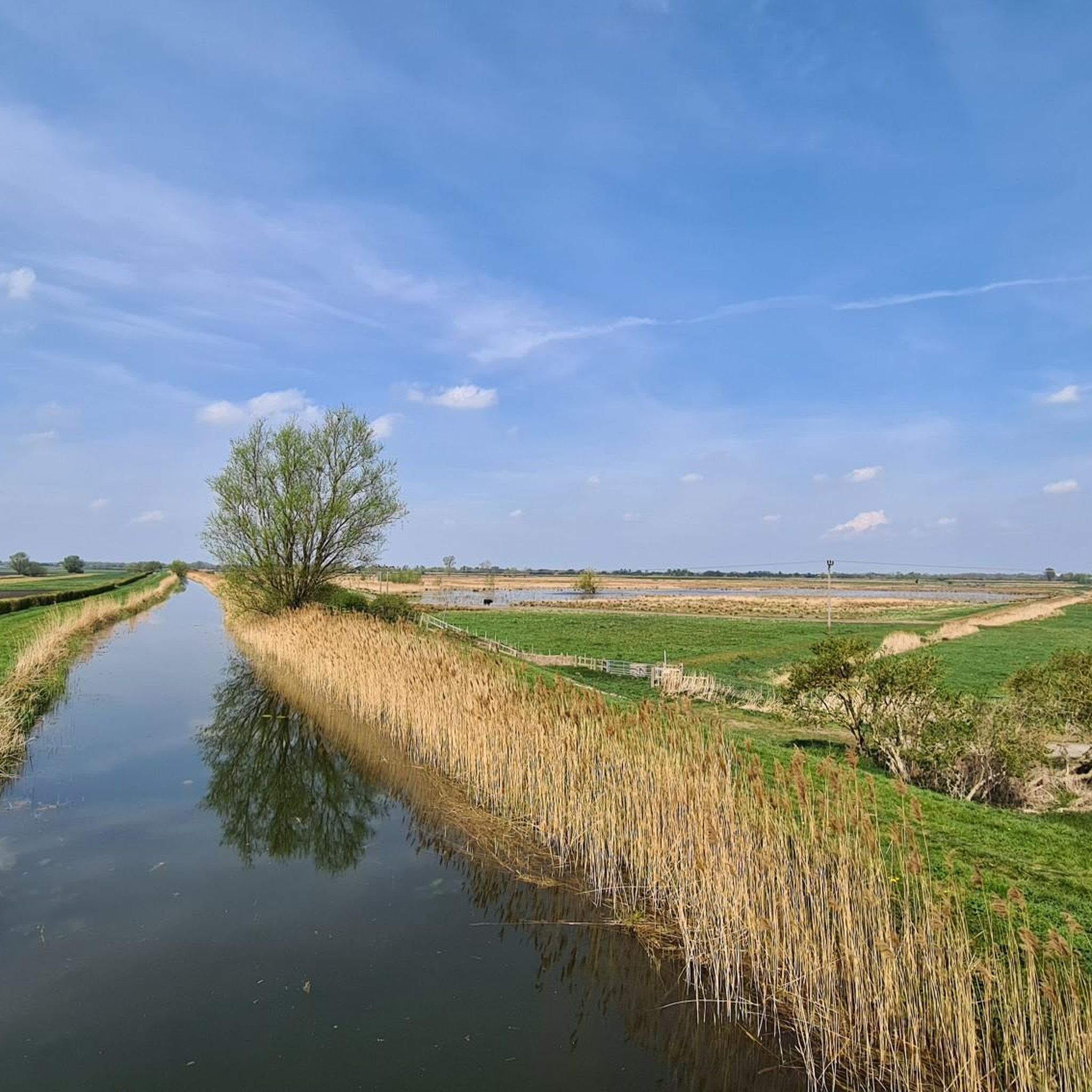
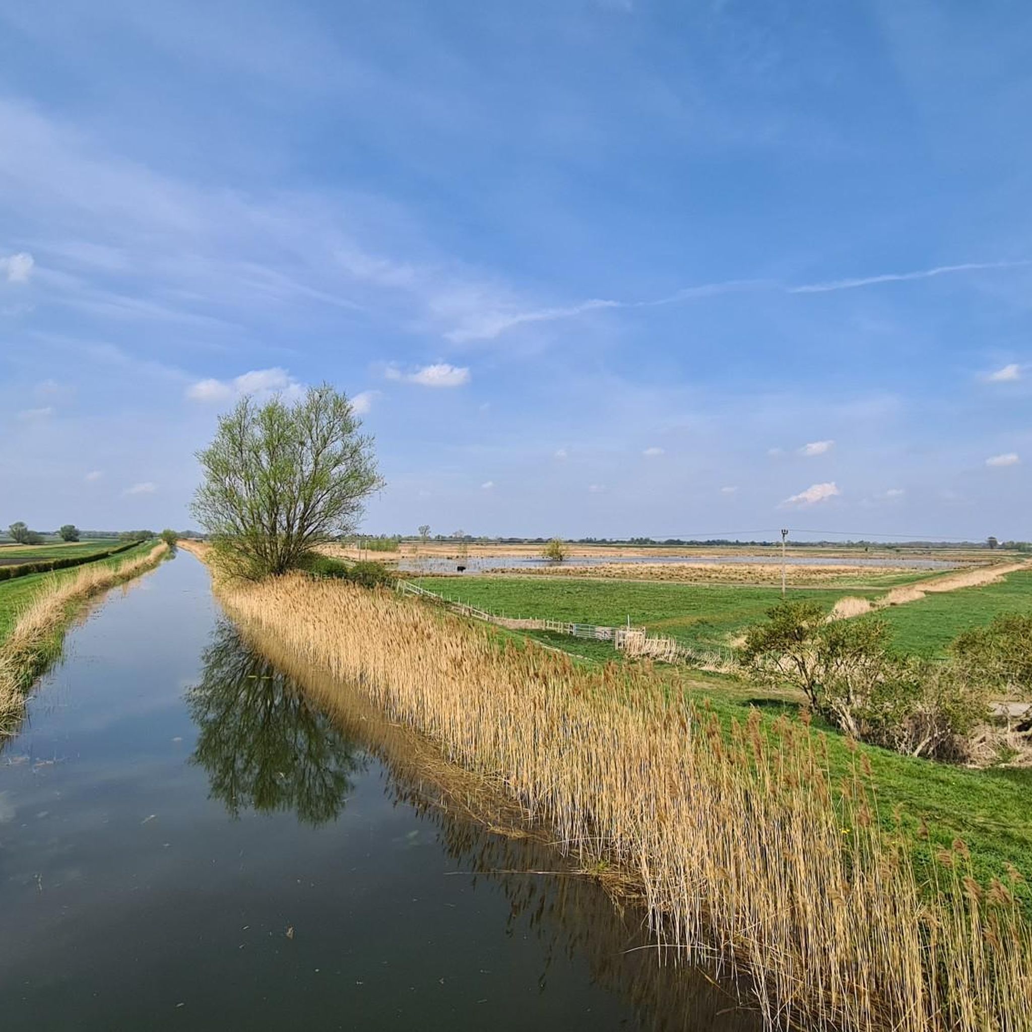
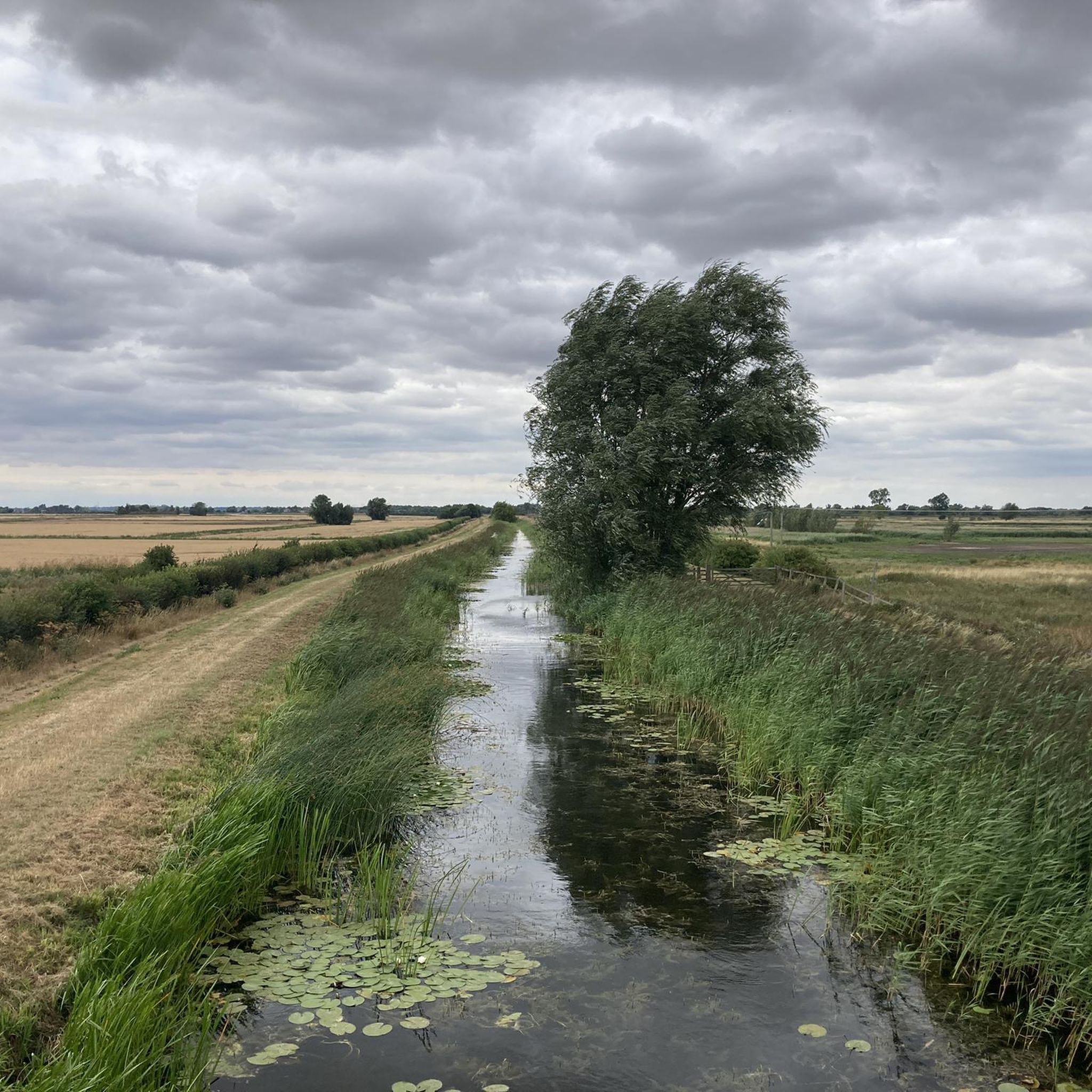
Tips from the Community

looks like they crash landed into the wall of the museum of technology.
0
0

Scenic avenue that rises in a straight gradient to the village of Snailwell.
0
0
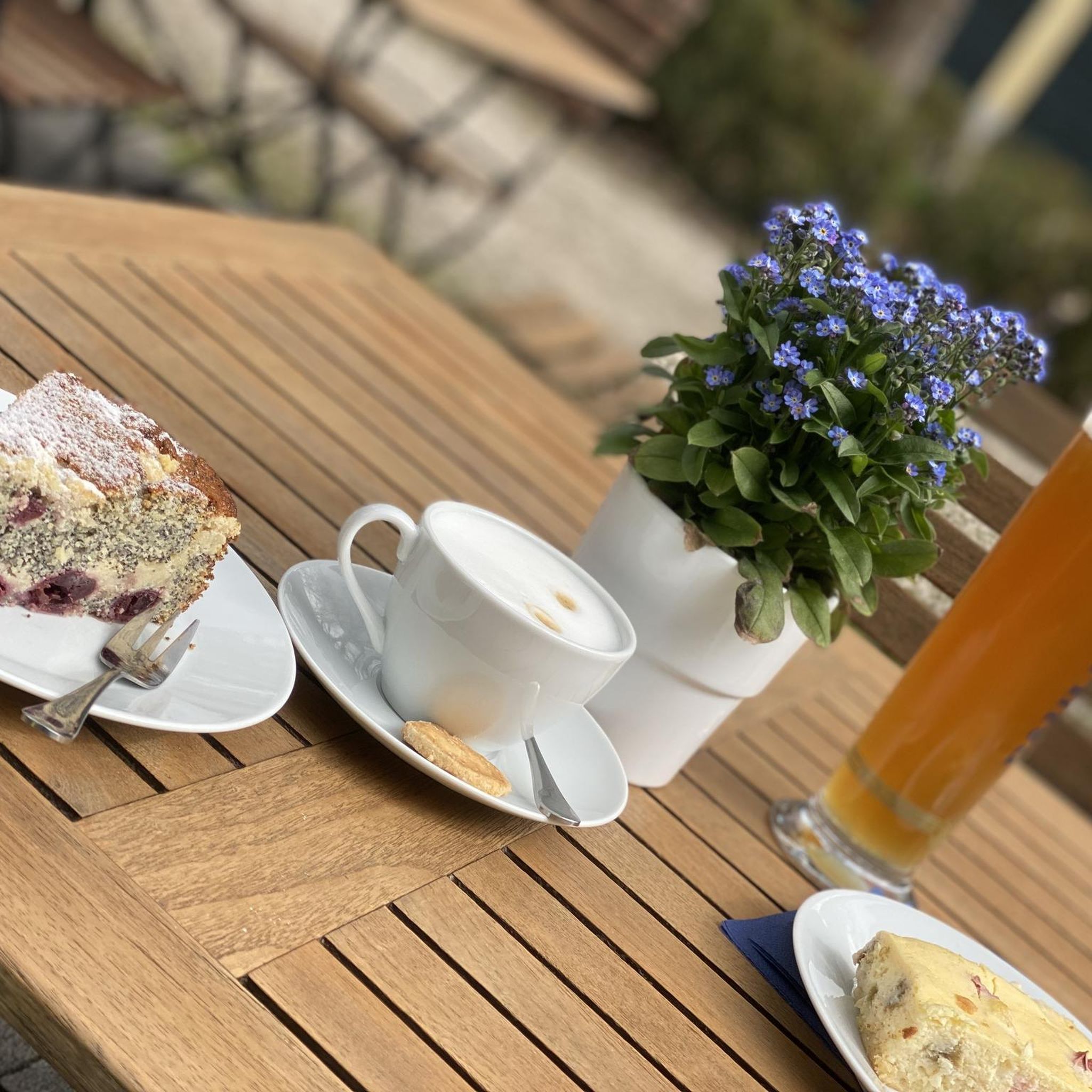
Cafe in a classic car restoration shop, aimed at those who love cars, bikes and cycles. Open 7.30am-2pm Mon-Wed & Fri-Sat.
0
0
Lovely bit of street art on the side of the Chisholm Trail bridge.
1
0
Accessed westbound via a sharp, narrow chicane just before the entrance to Anglesey Abbey. Using it eastbound requires crossing against the oncoming traffic at both ends. Fine for tourers, fast road cyclists are probably better sticking to the road.
1
0

It has nice views to the fields next to the road. Not very easy to access going east, the entry is a few meters after the “Park Farm” house
0
0
Shout “Four!” and play through; watch out for sand traps, and they’re not too keen on cleats on the putting greens. 🧐
0
0

If the house is open give it a visit, a beautiful piece of architecture steeped in history
0
0
Frequently Asked Questions
How many road cycling routes are available in Reach (E Cambs)?
There are over 360 road cycling routes around Reach (E Cambs) recorded on komoot. These routes cater to various preferences, with a good mix of easy, moderate, and some more challenging options.
What kind of terrain can I expect when road cycling around Reach (E Cambs)?
The terrain around Reach (E Cambs) is quite varied, transitioning from the expansive, low-lying Fens to the west, characterized by open fields and a network of drains, to the gently rolling chalkland hills of the East Anglian Chalk to the east. While mostly flat, some routes will include slight inclines, particularly in the chalkland areas. Cyclists should be aware that some on-road sections may have varying surface quality.
Are there routes suitable for beginners or families in Reach (E Cambs)?
Yes, Reach (E Cambs) offers numerous routes suitable for beginners and families. There are over 120 easy routes available, many of which utilize established paths like sections of the National Cycle Network (NCN 51 and NCN 11) and the Lodes Way, which connects Anglesey Abbey and Wicken Fen. These routes often feature mostly paved surfaces and gentle gradients.
Where can I find scenic viewpoints or natural features along the cycling routes?
Road cycling routes in Reach (E Cambs) offer views of diverse natural features. You can explore the expansive Fens with their unique wetland landscapes and river systems, or the rolling chalkland hills. A prominent natural and historical feature is Devil's Dyke, an ancient earthwork that provides a unique backdrop for rides. The Jesus Green – Stourbridge Common loop from Burwell offers views of the River Cam pathway and surrounding open countryside.
Are there any historical landmarks or attractions to see while cycling in the area?
Yes, several historical landmarks and attractions are accessible from the cycling routes. You can visit the working Lode Watermill at Anglesey Abbey, or explore the internationally important Wicken Fen National Nature Reserve, which is easily reached via the Lodes Way. The ancient Devil's Dyke earthwork also provides a significant historical feature along many routes.
Are there challenging road cycling routes in Reach (E Cambs)?
While much of the region is relatively flat, there are routes that offer more challenge, particularly those traversing the East Anglian Chalkland. For instance, the Swaffham Bulbeck Parish Church – The Old Butchers Coffee Shop loop from Burwell covers a moderate 30.4 miles with over 270 meters of elevation gain, providing a good workout across varied fenland and chalkland landscapes. There are 13 routes rated as difficult on komoot.
What do other road cyclists enjoy the most about road cycling in Reach (E Cambs)?
The area is highly rated by the komoot community, with an average score of 4.5 stars from over 90 reviews. Road cyclists often praise the diverse landscapes, from the open Fens to the gentle chalk hills, and the network of established cycling paths. The tranquility and abundant wildlife are also frequently highlighted.
Are there circular road cycling routes available around Reach (E Cambs)?
Yes, many of the road cycling routes around Reach (E Cambs) are designed as circular loops, allowing you to start and end at the same point. Examples include the Trumpington War Memorial – Southern Busway Cycle Path loop from Reach, which is a 30.8-mile route, and the Village Green Coffee Shop – The Straight Climb loop from Burwell, covering 43.9 km.
Where can I find cafes or pubs along the road cycling routes in Reach (E Cambs)?
Several routes pass by villages and towns where you can find cafes and pubs. The Swaffham Bulbeck Parish Church – The Old Butchers Coffee Shop loop from Burwell, for example, mentions a coffee shop in its name. The Maids Head pub in Wicken is also noted as a place for food, accessible via routes like the Lodes Way.
What is the best time of year for road cycling in Reach (E Cambs)?
The spring and summer months generally offer the most pleasant conditions for road cycling, with milder weather and longer daylight hours. However, the region's low-lying nature means it can be exposed to winds, and surfaces may vary. Autumn can also be beautiful with changing foliage, while winter cycling is possible but requires appropriate gear for colder, potentially wetter conditions.
Is there public transport access to Reach (E Cambs) for cyclists?
While specific public transport options directly to Reach for cyclists may vary, the area is generally accessible. Cyclists often use local bus services that allow bikes or cycle to Reach from nearby towns and train stations that have good connections to larger cities. It's advisable to check local transport provider websites for current bike carriage policies and timetables.
Are there any specific National Cycle Network routes in the Reach (E Cambs) area?
Yes, the Reach (E Cambs) area is traversed by several National Cycle Network routes, including NCN 51 and NCN 11. These established paths provide excellent, often traffic-free, options for exploring the Cambridgeshire countryside on a road bike. The Ely Ouse Riverside Path (Route 51) is one such example.
Most popular routes around Reach (E Cambs)
Most popular attractions around Reach (E Cambs)

Get inspired with the komoot mobile app


Explore more
Browse the best Road cycling routes in other regions.
