The best cycling routes around Marlston-Cum-Lache
4.5
(505)
5,070
riders
369
rides
Touring cycling around Marlston-Cum-Lache features routes that traverse a generally flat to gently undulating landscape, often following riverbanks and canal paths. The area is characterized by open fields, suburban green spaces, and sections alongside waterways like the River Dee and the Shropshire Union Canal. Elevation changes are minimal, making it suitable for various cycling abilities. The terrain primarily consists of paved paths and well-maintained tracks.
Best touring cycling routes around Marlston-Cum-Lache
- The most popular touring cycling route is Garden City…
Last updated: July 4, 2026
5.0
(1)
34
riders
14.2km
00:48
10m
10m
Easy bike ride. Great for any fitness level. Mostly paved surfaces. Suitable for all skill levels.
5.0
(2)
17
riders
Easy bike ride. Great for any fitness level. Mostly paved surfaces. Suitable for all skill levels.

Sign up for free
4.5
(2)
18
riders
12.4km
00:42
10m
10m
Easy bike ride. Great for any fitness level. Mostly paved surfaces. Suitable for all skill levels.
3.0
(1)
10
riders
27.4km
01:39
170m
170m
Moderate bike ride. Good fitness required. Mostly paved surfaces. Suitable for all skill levels.
4.5
(2)
11
riders
Easy bike ride. Great for any fitness level. Mostly paved surfaces. Suitable for all skill levels.
Get access to more routes and recommendations from other explorers.
Sign up for free
Already have an account?
Our route recommendations are based on thousands of hikes, rides, and runs completed by other people on komoot.
Start today with a free account
Your next adventure awaits.
Login or Signup
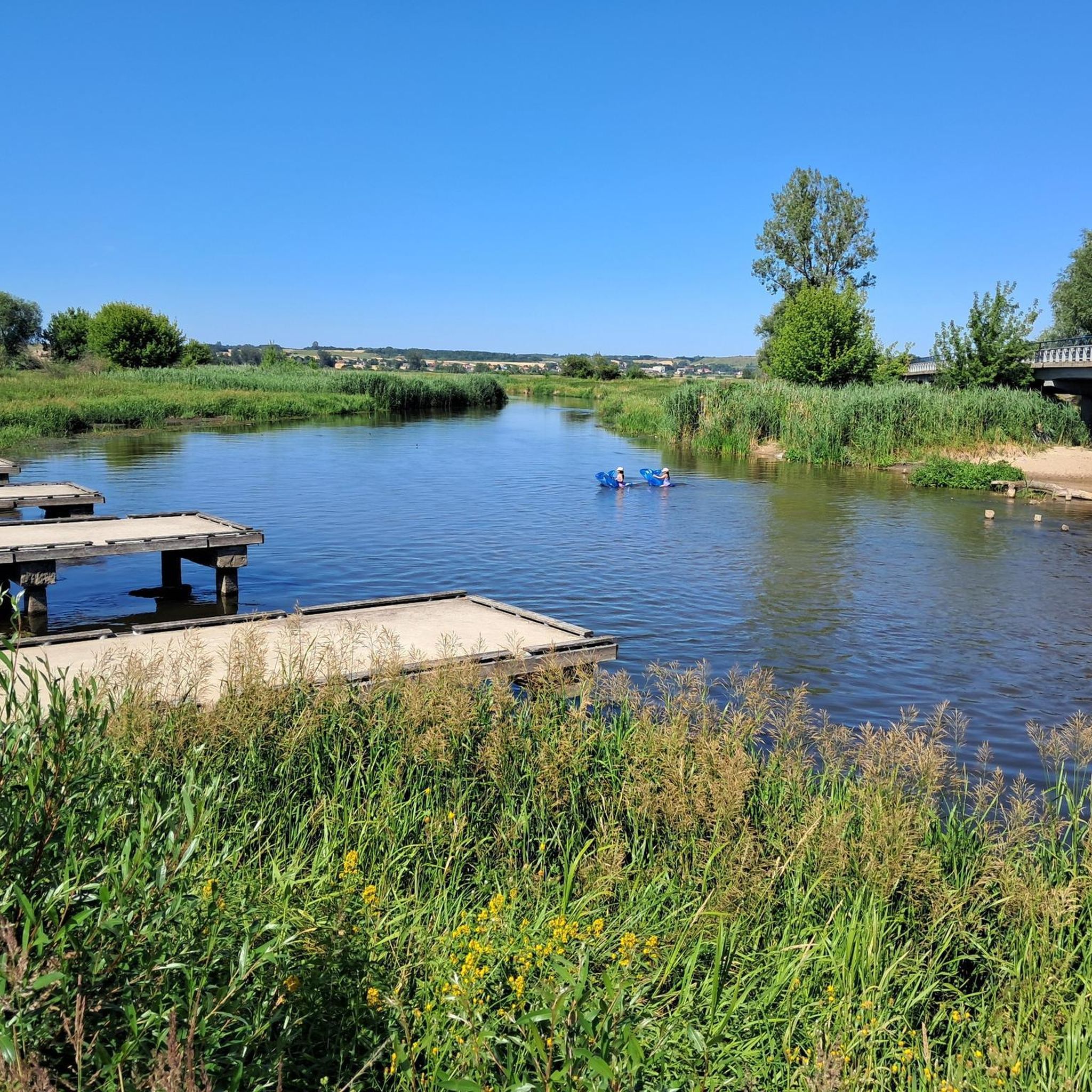
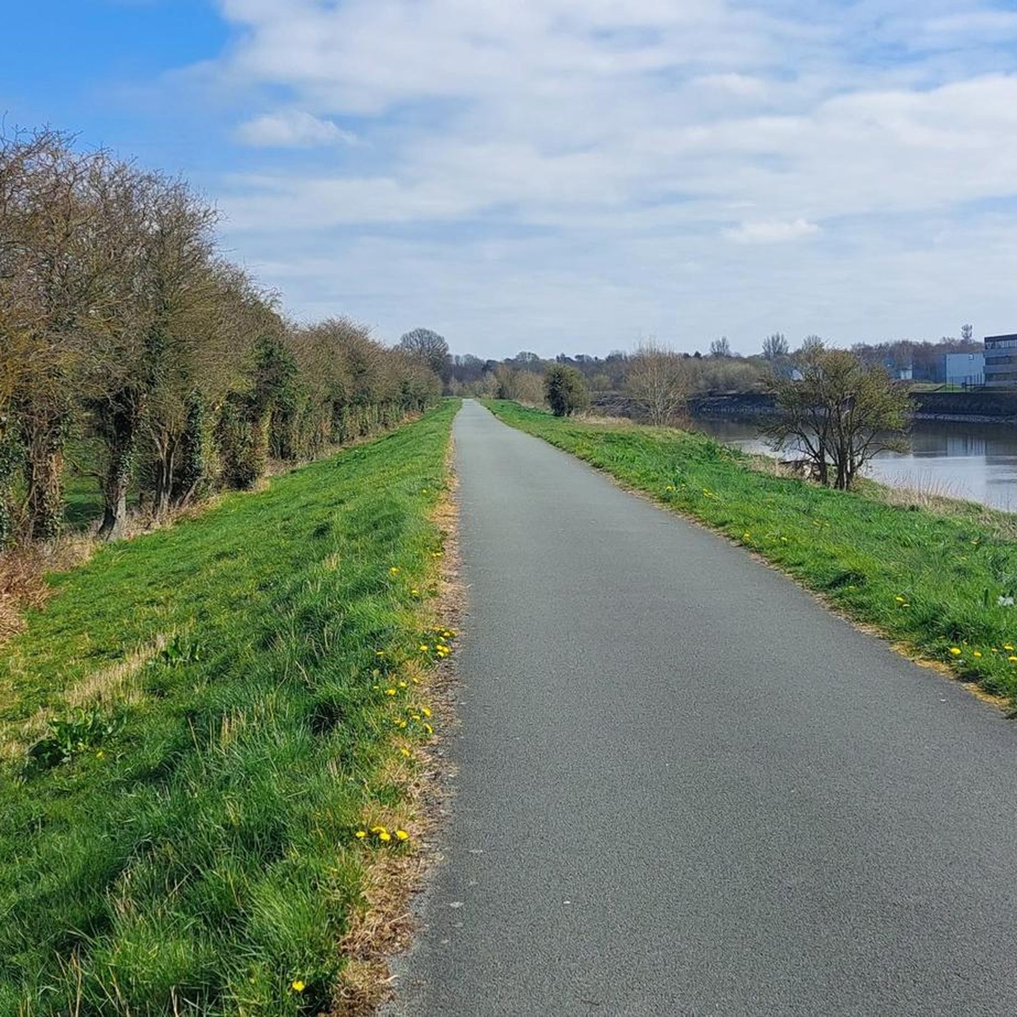
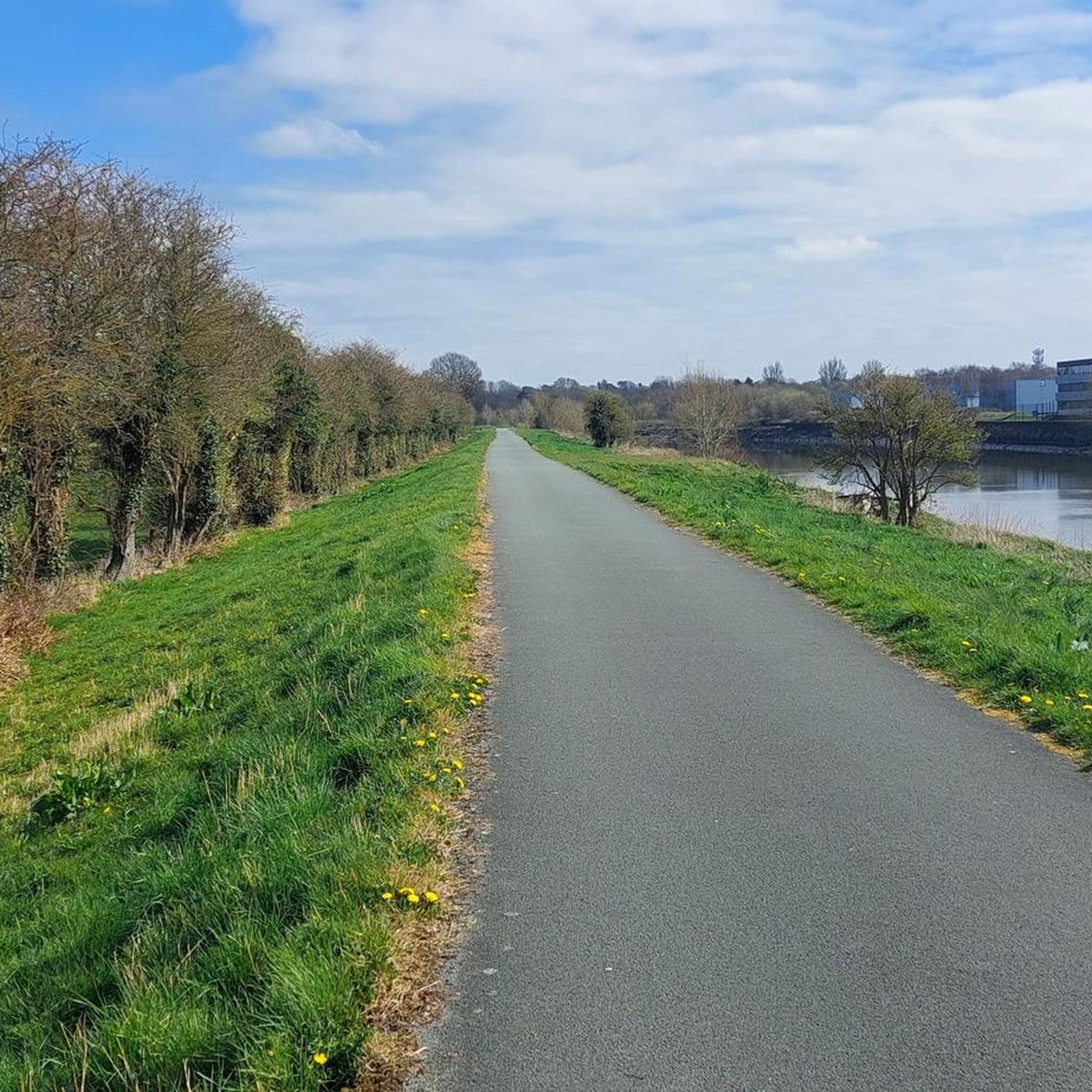
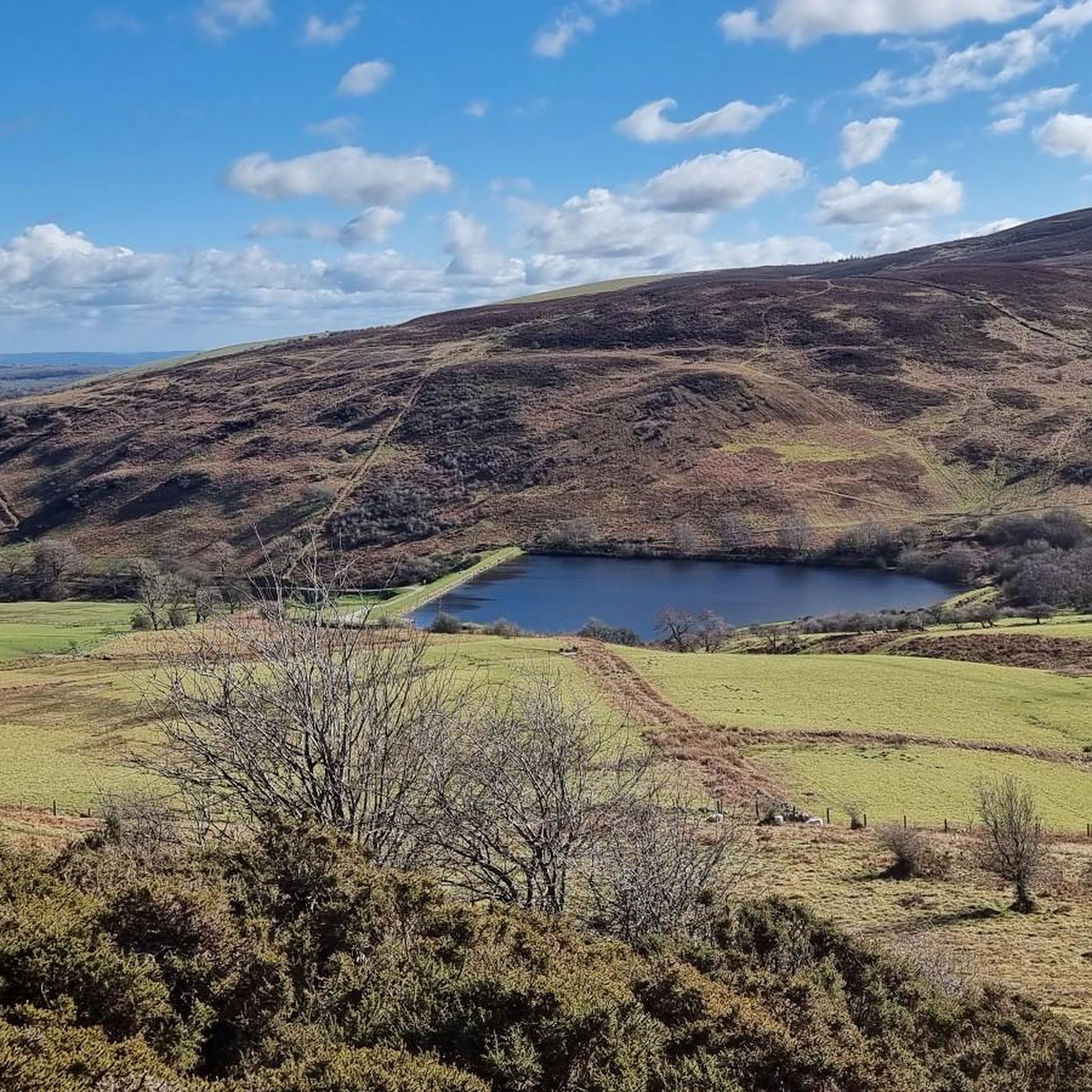
Tips from the Community


The Wales Coast Path and National Cycle Network mostly share the same route across Denbighshire and Conwy, linking the major north Wales resorts of Prestatyn, Rhyl, Colwyn Bay and Llandudno and the walled castle town of Conwy. However, please note that the WCP and NCN follow different routes in a few places and, where this occurs, cyclists should follow the NCN rather than WCP logos. This is a very popular route with extensive views out to sea, along the coast, and inland to the Clwydian Hills, the Vale of Clwyd and the northern slopes of Snowdonia National Park.
5
0

The Wales Coast Path is a designated long-distance trail which follows, or runs close to, the coastline of Wales. It is 870 miles or 1,400 km long and was launched in 2012. The path is the first dedicated coast path in the world to cover the entire length of a country's coastline. The official start and finish points are on the border with the English city of Chester in the north and in Chepstow in the south. The already established Anglesey coastal path, Ceredigion coast path and the Pembrokeshire Coast Path National Trail all form part of the Wales Coast Path. Wikipedia
0
0

Uhmm - photo of Garden City's Welsh Road 'blue bridge' is NOT Saltney Ferry footbridge!! The Ferry is four miles upstream, towards Chester!
1
0
It's an easy to walk Canal Path,it stretches from Ellesmere Port to Chester, Ellesmere Port has a nice Boat Museum, and a friendly café
0
0


The view from the bridge gives a great perspective of the 'canalisation' of the River Dee - a straight 5 mile section of the river. In the distance you can just make out the Queensferry and Flintshire Bridges. "The Saltney Ferry Footbridge in Flintshire was built in 1968 to replace a ferry that crossed the River Dee. The ferry service had been operating since 1790 and was run by the Manifold family. Ferry service history The ferry service began in 1790 and was run by the Manifold family The ferry service was a 12-seat service that operated from 5 AM–9 PM The ferry carried babies, coffins, and was used for chain-making and sea-going industries The ferry service ended around 1966 Footbridge construction The footbridge is a four span reinforced concrete structure The bridge is approximately 100m long and 2.14m wide The bridge was built with a removable central section to allow boats with tall masts to navigate upstream The bridge is suitable for pedestrians and cyclists River Dee The River Dee has been designated a Site of Special Scientific Interest (SSSI) and a Special Area of Conservation (SAC)." Various sources; AI Summary https://www.bbc.co.uk/news/uk-wales-north-east-wales-30532480 https://www.jenningsbce.co.uk/saltney-ferry-foot-bridge/ https://sealandcommunitycouncil.co.uk/about/local-history/
1
0
"The Jubilee Bridge (also known as the Blue Bridge) is a double leaf rolling bascule bridge which spans the River Dee at Queensferry, Wales. The bridge was built by Sir William Arrol & Co. between 1925 and 1927. It takes its name from an earlier bridge on the same site which was completed during the Diamond Jubilee of Queen Victoria in 1897. The abutments of the old bridge are still visible at both sides to the left (facing north) of the current bridge. The remains can be seen at low tide near the abutments. By the 1960s shipping had ceased on the River Dee. The bridge's lifting mechanism was removed and the roadway fixed permanently in place. In 2005 the Jubilee Bridge was awarded Grade II Listed building status by Cadw." Source: https://en.m.wikipedia.org/wiki/Jubilee_Bridge_(Queensferry)
1
0
Frequently Asked Questions
How many touring cycling routes are available around Marlston-Cum-Lache?
There are over 370 touring cycling routes available around Marlston-Cum-Lache on komoot, offering a wide variety of options for different skill levels and preferences.
What are the typical difficulty levels for touring cycling routes in this area?
The touring cycling routes around Marlston-Cum-Lache are predominantly easy to moderate. You'll find over 170 easy routes and nearly 150 moderate routes, making the area very accessible for most cyclists. There are also about 55 more challenging routes for those seeking a greater test.
Are there family-friendly or beginner touring cycling routes in Marlston-Cum-Lache?
Yes, Marlston-Cum-Lache is ideal for families and beginners due to its generally flat to gently undulating landscape. Many routes follow riverbanks and canal paths, which are typically easy and well-maintained. A great option for an easy ride is the Garden City Blue Bridge – Saltney Ferry Footbridge loop from Saltney, which is 7.5 miles long and leads through pleasant riverside areas.
What kind of terrain can I expect on touring cycling routes around Marlston-Cum-Lache?
The terrain primarily consists of paved paths and well-maintained tracks, often following riverbanks like the River Dee and canal paths such as the Shropshire Union Canal. The landscape is generally flat to gently undulating, with minimal elevation changes, making it suitable for a relaxed touring experience.
Are there any circular touring cycling routes available?
Yes, many of the touring cycling routes in Marlston-Cum-Lache are designed as loops, allowing you to start and finish in the same location. For example, the Shropshire Union Canal Path – Chester Castle loop from Chester is an easy 8.5-mile circular path that follows the historic canal.
What is the best time of year to go touring cycling in Marlston-Cum-Lache?
The best time for touring cycling in Marlston-Cum-Lache is generally from spring through autumn when the weather is milder and the paths are dry. The open fields and river/canal paths are particularly pleasant during these seasons. While cycling is possible year-round, winter might bring colder temperatures and potentially wetter conditions on some unpaved sections.
What can I see along the touring cycling routes in Marlston-Cum-Lache?
Many routes offer scenic views along the River Dee and the Shropshire Union Canal. You can also discover interesting landmarks and natural features. Consider exploring highlights like the River Dee Riverside Trail, the Eastgate Clock, or the Old Dee Bridge Weir, which are often accessible from or along the cycling paths.
Are there any longer touring cycling routes for more experienced riders?
While many routes are easy, there are options for longer excursions. For a moderate challenge, consider the Donkey Sanctuary loop from Chester, which covers nearly 17 miles (27.4 km) and includes more varied terrain and elevation changes.
What do other touring cyclists enjoy most about cycling in Marlston-Cum-Lache?
The area is highly rated by the komoot community, with an average score of 4.5 stars from over 400 reviews. Reviewers often praise the accessibility of the routes, the scenic river and canal paths, and the generally flat terrain that makes for enjoyable, relaxed rides.
Are there any routes that pass through historical areas or past notable landmarks?
Yes, several routes offer glimpses into the region's history. The Shropshire Union Canal Path – Chester Castle loop from Chester, for instance, follows the historic canal and passes by notable landmarks in Chester, including the castle.
Can I find routes that offer views of the River Dee?
Absolutely. The River Dee is a prominent feature of the landscape, and many routes run alongside it. The Garden City Blue Bridge – Dee Banks Path loop from Saltney is a popular choice that offers continuous views along the River Dee.
Most popular attractions around Marlston-Cum-Lache

Get inspired with the komoot mobile app


Explore more
Browse the best Cycling routes in other regions.
