The best road cycling routes around Willmars
4.6
(156)
1,571
riders
149
rides
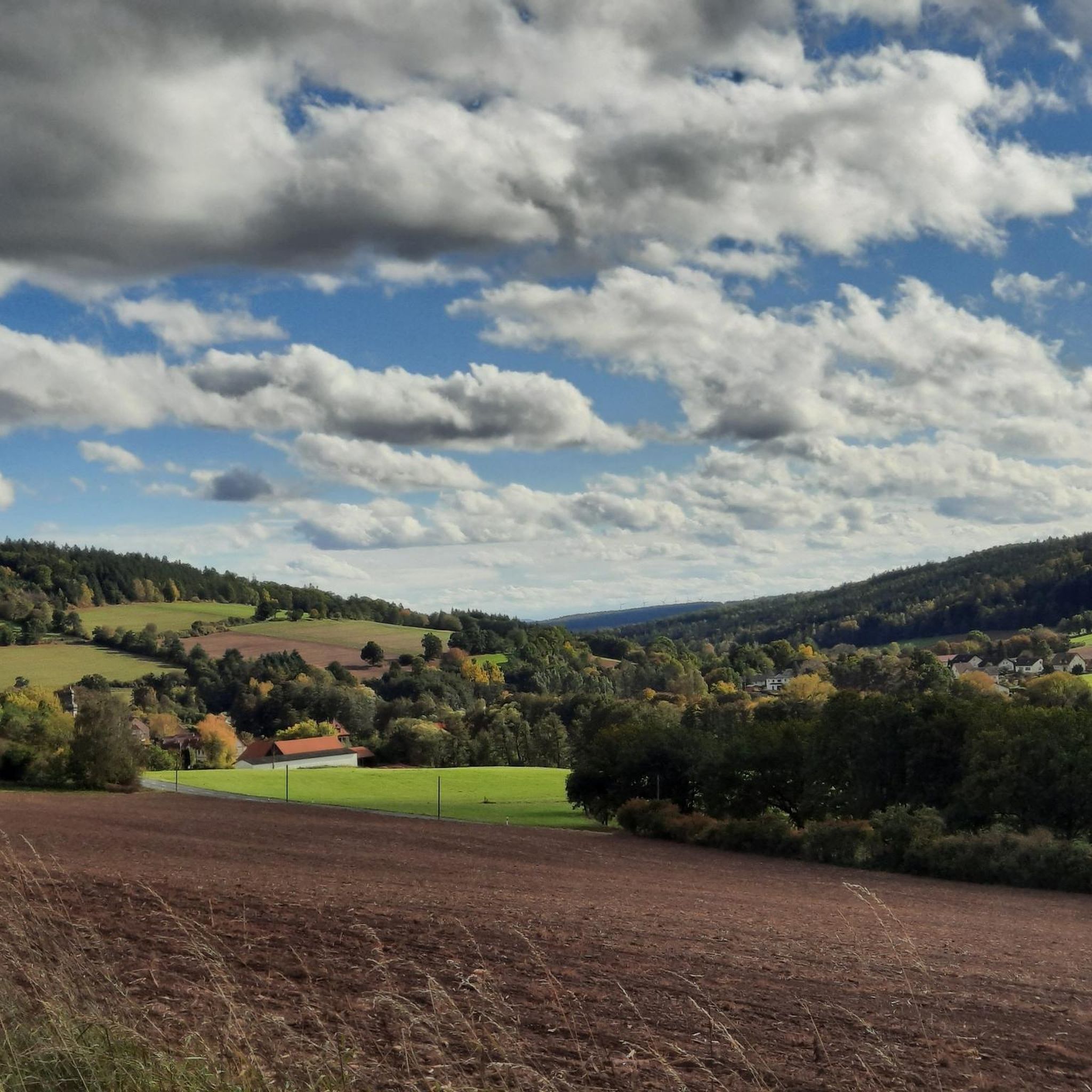
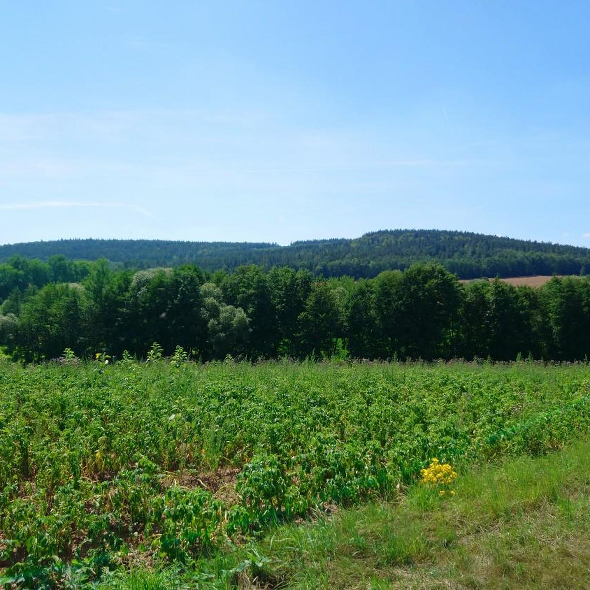
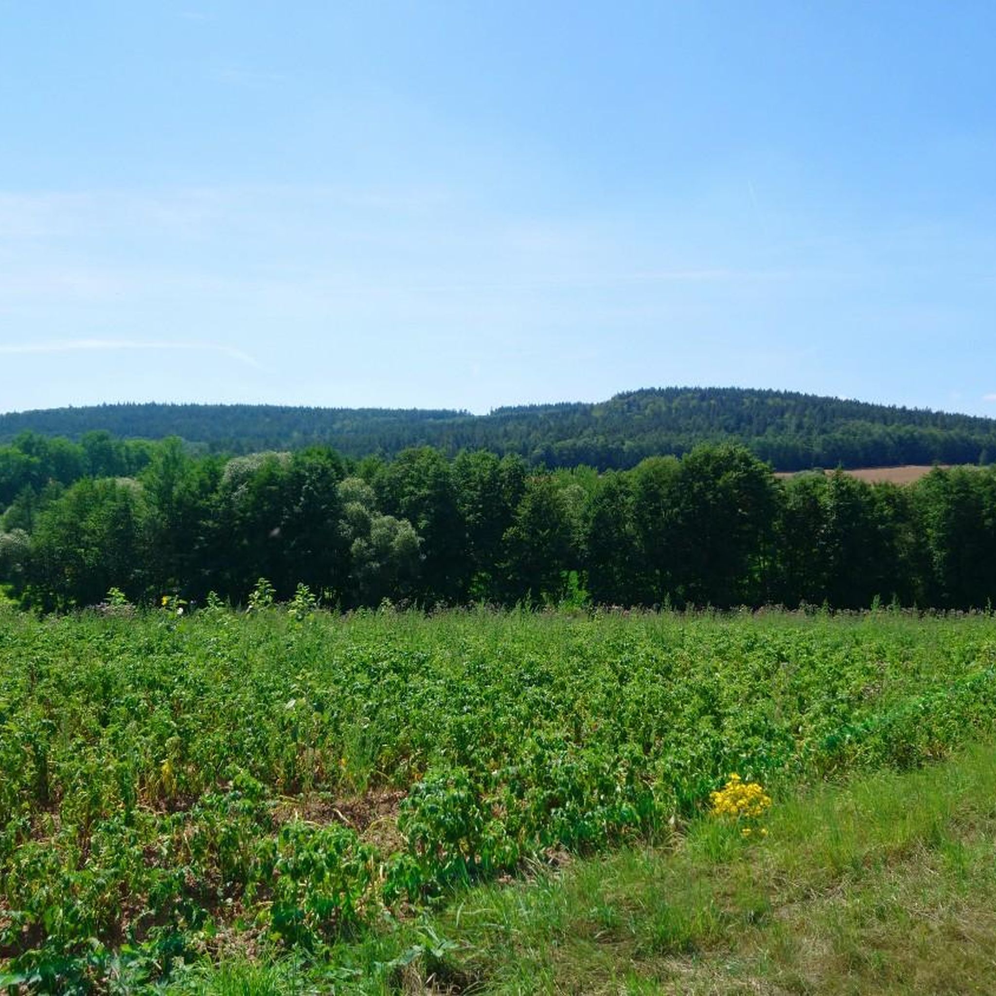
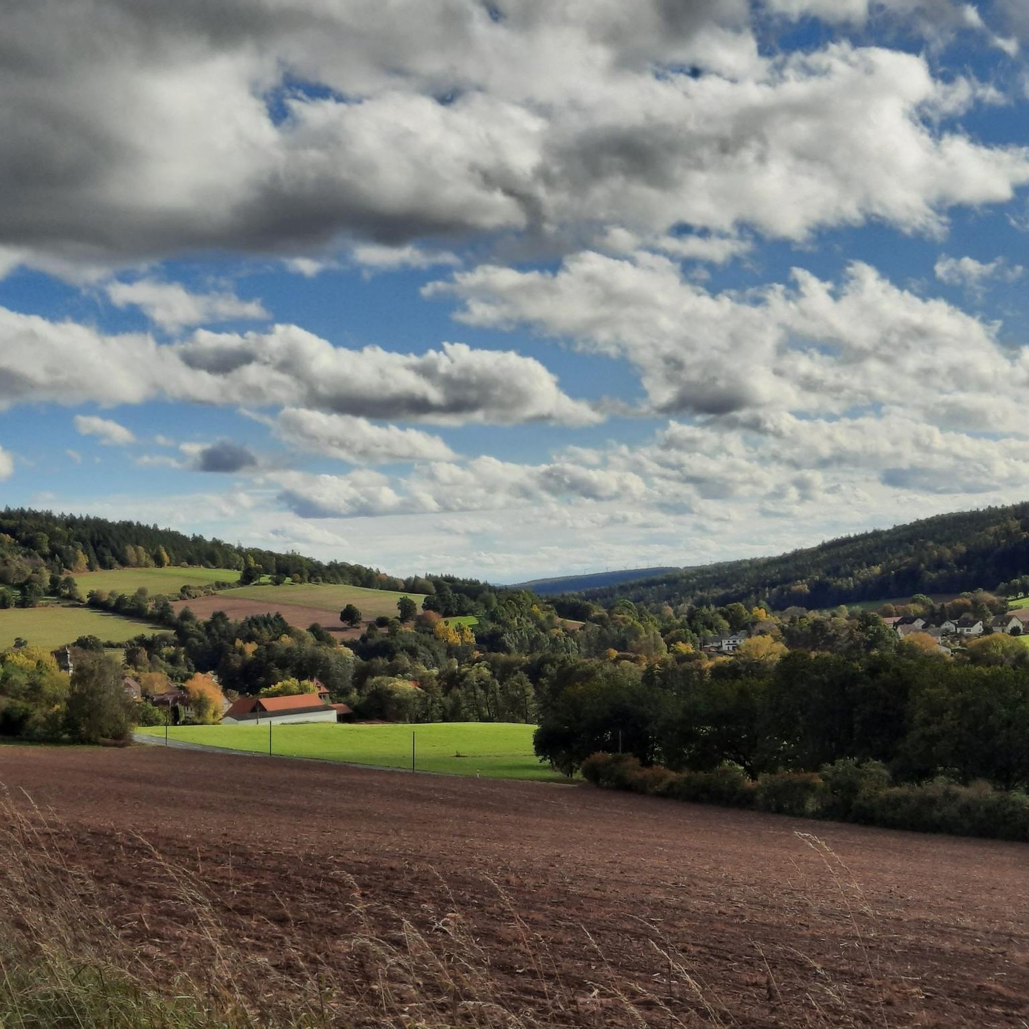
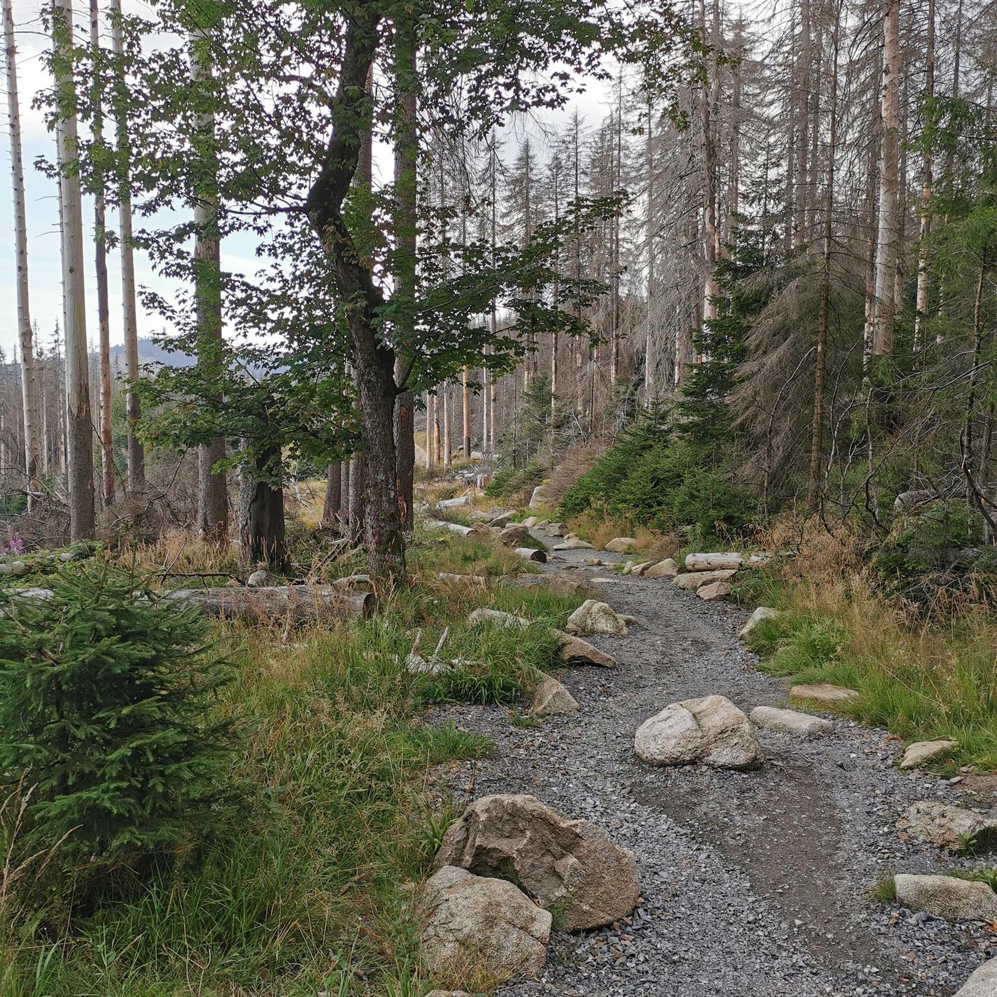
Road cycling around Willmars offers a diverse landscape characterized by rolling hills, river valleys, and extensive forests within the Rhön region. The area features a network of paved roads and dedicated cycle paths connecting historic towns and villages. Elevation changes are common, providing varied terrain for road cyclists.
Best road cycling routes around Willmars
- The most popular road cycling route is Cycle Path Unsleben–Heustreu – Mittelstreu–Unsleben cycle path loop from Ostheim vor der Rhön, a 30.6 miles (49.2 km)…
Last updated: October 15, 2026
5.0
(2)
23
riders
Moderate road ride. Good fitness required. Some segments of this route may be unpaved and difficult to ride.
5.0
(1)
11
riders
Moderate road ride. Good fitness required. Mostly well-paved surfaces and easy to ride.

3.0
(2)
10
riders
Moderate road ride. Good fitness required. Mostly well-paved surfaces and easy to ride.
9
riders
Moderate road ride. Good fitness required. Some segments of this route may be unpaved and difficult to ride.
5.0
(1)
7
riders
Moderate road ride. Great for any fitness level. Some segments of this route may be unpaved and difficult to ride.
Get access to more routes and recommendations from other explorers.
Already have an account?
Our route recommendations are based on thousands of hikes, rides, and runs completed by other people on komoot.
Start today with a free account
Your next adventure awaits.
Tips from the Community

Beautiful church in the center of Schafhausen
0
0

Absolutely the best bratwurst in the area. Price stable at 3.50, so it tastes even better.
0
0

The best Thuringian food "outside" of Thuringia :-)
0
0

The northernmost inn in Bavaria. Very good, traditional cuisine.
0
0
Always beautiful and full of memories...
0
0

Super beautiful! Right through the fields and to the right and left, further and higher the forest
0
0

I haven't seen such a beautiful old water wheel in a long time 👍
0
0

very good real Thuringian Bratwurst
0
0
Frequently Asked Questions
What kind of terrain can I expect when road cycling around Willmars?
Road cycling around Willmars features a diverse landscape of rolling hills, river valleys, and extensive forests, characteristic of the Rhön region. You'll find a network of paved roads and dedicated cycle paths, often with elevation changes that provide varied terrain for cyclists.
Are there many road cycling routes available in the Willmars area?
Yes, the Willmars area offers a wide selection of road cycling routes. There are over 150 routes available, catering to various skill levels from moderate to challenging, ensuring plenty of options for exploration.
What are some notable landmarks or natural features to see along the road cycling routes near Willmars?
You can discover several interesting landmarks and natural features. Consider visiting the Schwarzes Moor Nature Trail, the impressive Eisgraben Waterfall, or the Rother Kuppe Observation Tower for panoramic views. The Hohe Geba Summit is also a significant natural highlight in the region.
Are there any easy road cycling routes suitable for beginners or families in Willmars?
While many routes feature rolling hills, there are options suitable for those seeking easier rides. The region offers 15 easy routes and 97 moderate routes, many of which utilize dedicated cycle paths through river valleys, providing a less strenuous experience. For example, parts of the Cycle Path Unsleben–Heustreu – Mittelstreu–Unsleben cycle path loop from Ostheim vor der Rhön follow dedicated paths.
What is the best time of year for road biking in Willmars?
The Rhön region, including Willmars, is beautiful throughout the warmer months. Spring and autumn offer pleasant temperatures and vibrant scenery, while summer provides longer daylight hours. Always check local weather conditions before heading out.
Are there any long-distance road cycling routes near Willmars?
Yes, there are several longer routes available. For instance, the Heustreu–Bad Neustadt cycle path – Mittelstreu–Unsleben cycle path loop from Ostheim vor der Rhön is a substantial 43.8-mile (70.4 km) trail that connects several towns through river valleys, offering a good option for a longer ride.
Where can I find parking for cyclists in Willmars?
Many routes around Willmars start from towns and villages like Ostheim vor der Rhön, where public parking is generally available. It's advisable to check specific starting points for routes on komoot for detailed parking information.
What do other road cyclists enjoy most about road cycling in Willmars?
The area is highly rated by the komoot community, with an average score of 4.6 stars from over 150 reviews. Cyclists often praise the diverse terrain, from scenic river valleys to challenging climbs over hills like the Hohe Geba, and the well-maintained network of paved roads and dedicated cycle paths.
Are there any loop road bike routes in the Willmars area?
Yes, many of the routes around Willmars are designed as loops, allowing you to start and end in the same location. Examples include the The local pub – Scenic Route Over Hohe Geba loop from Ostheim vor der Rhön and the Historic centre of Fladungen – Fladungen Museum Railway loop from Ostheim vor der Rhön.
Can I access road cycling routes in Willmars using public transport?
Willmars and surrounding towns are connected by local public transport. While direct access to every trailhead might vary, you can often reach starting points in larger towns like Ostheim vor der Rhön via bus or regional train services. It's recommended to check local transport schedules for specific connections.
Are there any routes that offer particularly good viewpoints for road cyclists?
Absolutely. Routes that include climbs over the Hohe Geba, such as The local pub – Scenic Route Over Hohe Geba loop from Ostheim vor der Rhön, offer panoramic views of the surrounding Rhön landscape. The Rother Kuppe Observation Tower is also a great spot for expansive vistas.
How challenging are the road cycling routes around Willmars?
The routes around Willmars vary in difficulty. While there are 15 easy routes, the majority (97) are classified as moderate, and 46 are difficult. The region's rolling hills and elevation changes mean you can find anything from gentle rides along river valleys to more demanding climbs, like those found on routes ascending the Hohe Geba.
Most popular routes around Willmars
Most popular attractions around Willmars

Get inspired with the komoot mobile app


Explore more
Browse the best Road cycling routes in other regions.
