The best running trails around Higher Hurdsfield
4.7
(124)
13,055
runners
640
runs
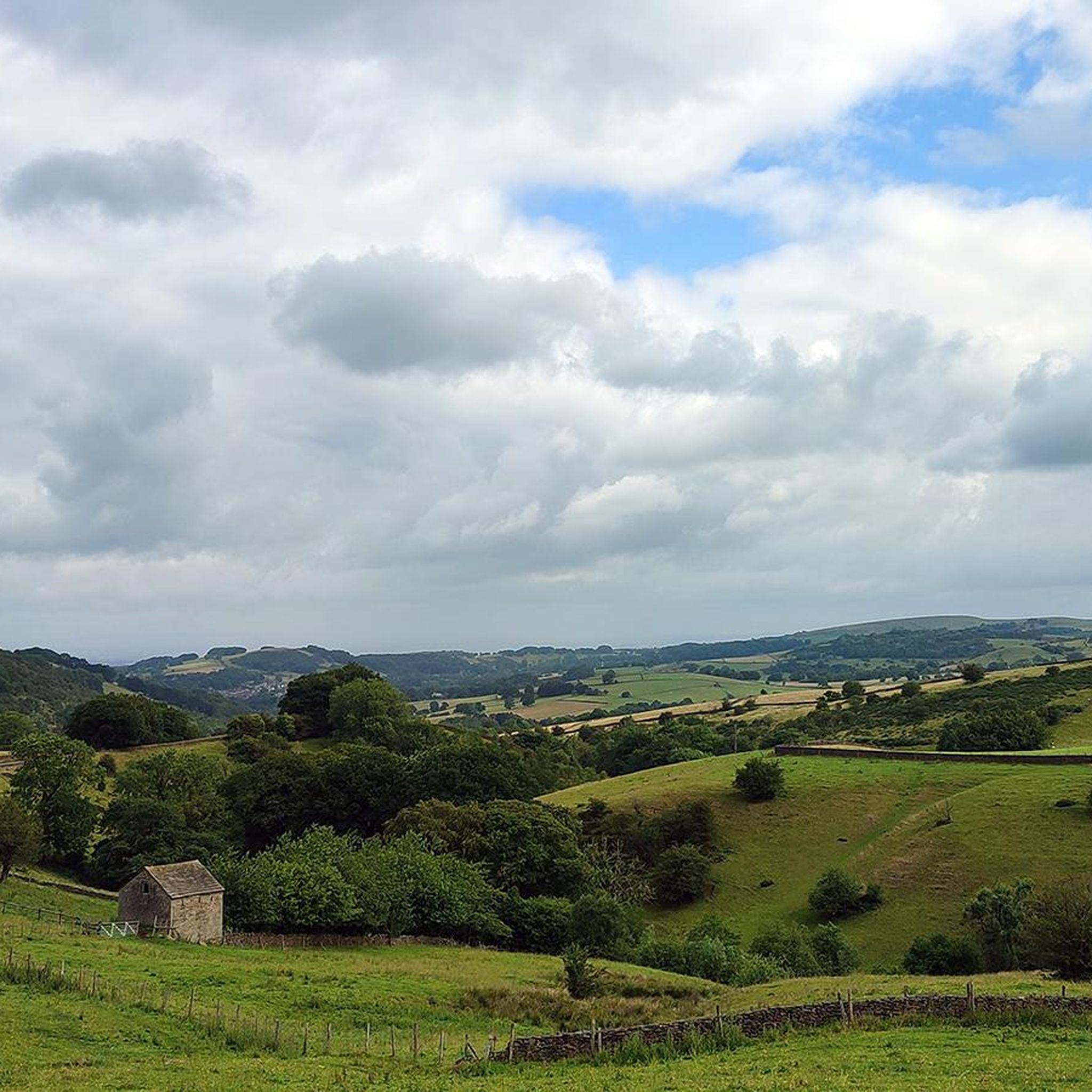
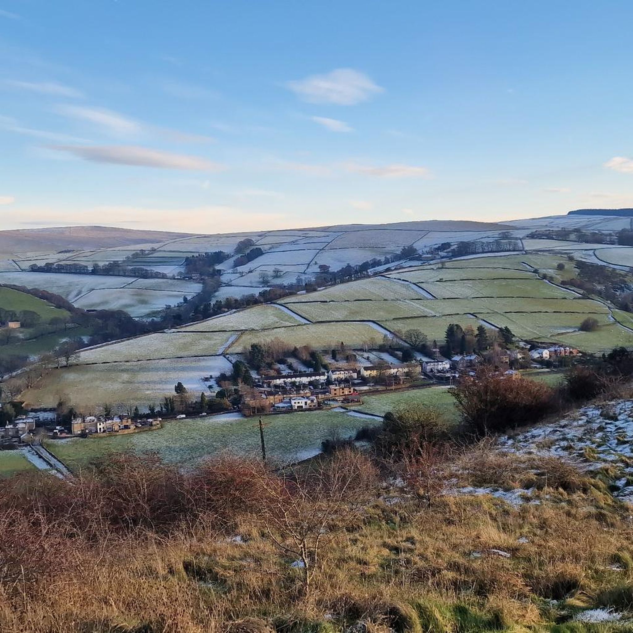
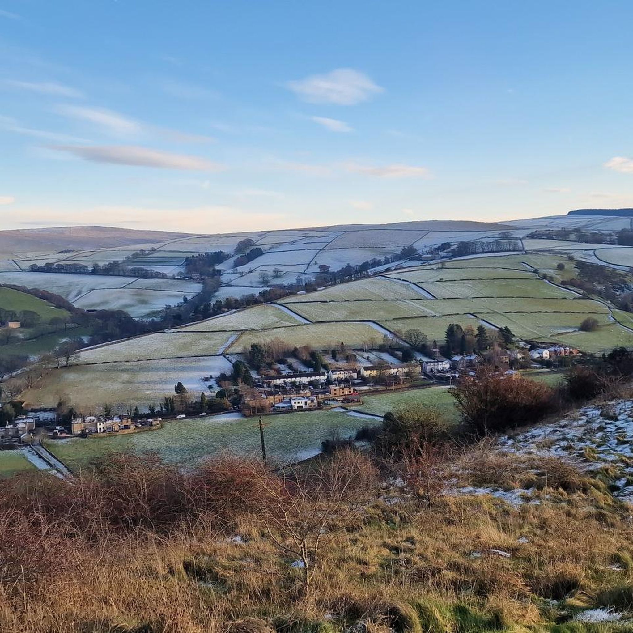
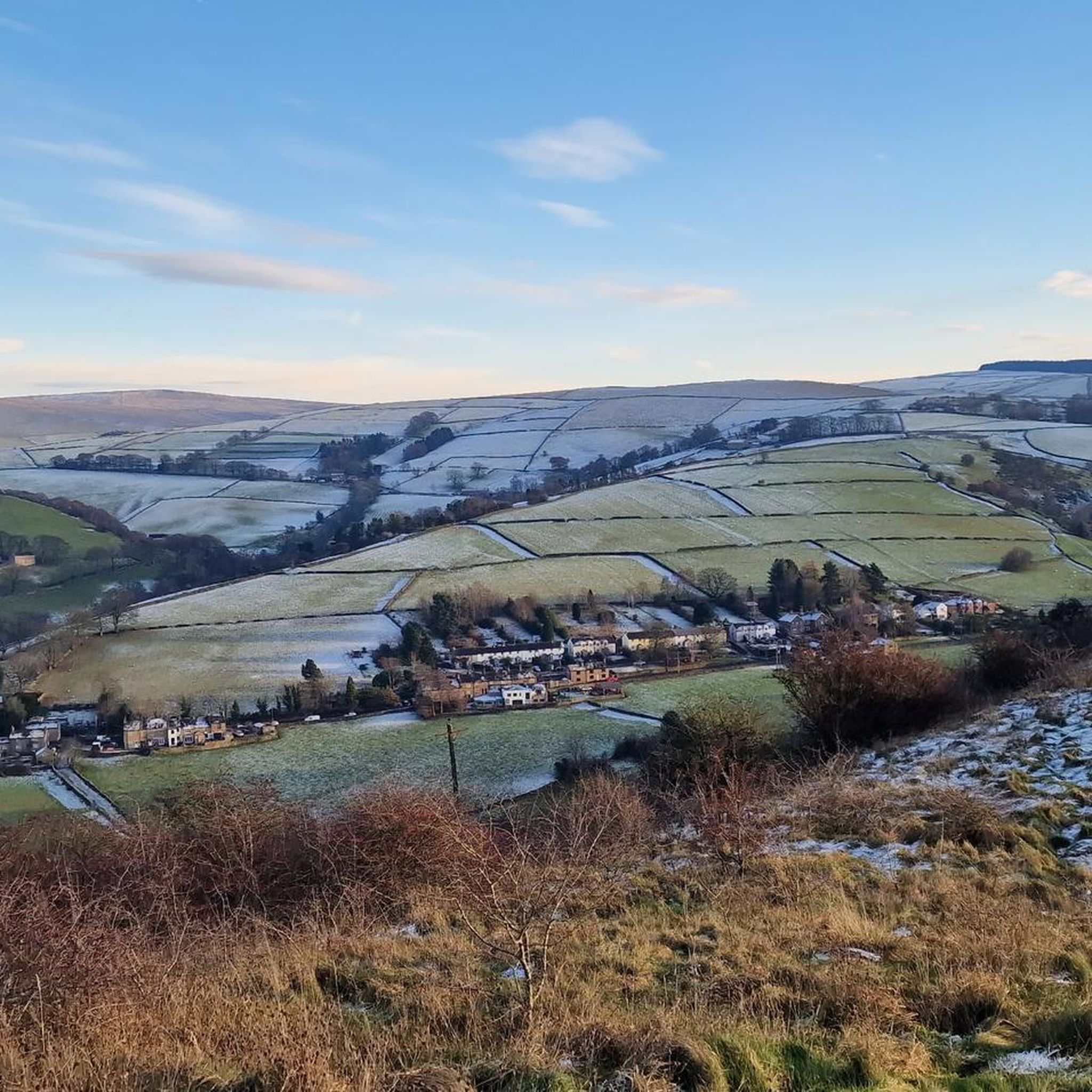
Jogging around Higher Hurdsfield offers diverse landscapes, from open countryside with wide views across Cheshire to farmlands and canal-side routes. The region features a mix of footpaths, bridleways, and challenging ascents, providing varied terrain for runners. Hills under 200m are common, contributing to the area's varied elevation profiles. This natural scenery makes Higher Hurdsfield a compelling destination for outdoor activities.
Best jogging routes around Higher Hurdsfield
- The most popular jogging route is Bollington Village – Clarence Mill loop from Macclesfield…
Last updated: August 14, 2026
112
runners
12.7km
01:21
60m
60m
Moderate run. Good fitness required. Mostly paved surfaces. Suitable for all skill levels.
117
runners
6.45km
00:47
170m
170m
Moderate run. Good fitness required. Mostly paved surfaces. Suitable for all skill levels.

Sign up for free
101
runners
23.3km
02:27
240m
240m
Hard run. Very good fitness required. Mostly paved surfaces. Suitable for all skill levels.
5.0
(1)
69
runners
9.69km
01:00
60m
60m
Moderate run. Good fitness required. Mostly paved surfaces. Suitable for all skill levels.
5.0
(1)
59
runners
Moderate run. Good fitness required. Mostly paved surfaces. Suitable for all skill levels.
Get access to more routes and recommendations from other explorers.
Sign up for free
Already have an account?
Our route recommendations are based on thousands of hikes, rides, and runs completed by other people on komoot.
Start today with a free account
Your next adventure awaits.
Login or Signup

Tips from the Community

Great monument from another time. Canal was opened in 1831 and is 42 km long. More information can be found at https://en.wikipedia.org/wiki/Macclesfield_Canal
2
0

TP4172 - Kerridge Hill | TrigpointingUK https://share.google/KGixUdmRQlst3dVHN
0
0


Don't attempt to cycle these on your bike unless you are Danny McAskill or similar
1
0

‘I got the shock of my life when I went in the Adelphi for the first time - you worked stripped - you just wore trousers and bare feet. The temperature was roughly a hundred degrees. Then, during the war, they started issuing us with rope-soled sandals. You couldn't wear shoes because the floor was just like an oil slick - oiling all those spindles’. Excerpt taken from a Bridgend Heritage Trail 8 Leaflet
0
0

This is the only remaining manually operated swing bridge on the Macclesfield Canal. The others have either been dismantled or are left open. After some earlier improvement work, it was removed, fully restored and reinstated in full working order in 1998.
2
0

a short half mile climb that seems to go on forever getting really steep about half way 15-17% but well worth the effort when you see the views of the Cheshire planes
0
0
Frequently Asked Questions
How many running routes are available around Higher Hurdsfield?
There are over 660 running routes around Higher Hurdsfield, offering a wide variety of options for all abilities and preferences. These routes range from easy strolls to more challenging ascents across diverse landscapes.
Are there running routes for all fitness levels in Higher Hurdsfield?
Yes, Higher Hurdsfield offers a good mix of running routes for various fitness levels. You'll find over 50 easy trails, more than 440 moderate options, and over 160 difficult routes, ensuring there's something for everyone, from beginners to experienced trail runners.
What natural landmarks or points of interest can I discover while running near Higher Hurdsfield?
The region around Higher Hurdsfield is rich in natural beauty. You can explore dramatic gorges like Lud's Church, a unique chasm with natural platforms. For stunning views, consider routes that pass by Shining Tor trig point, the highest point in Cheshire, or the picturesque Three Shires Head Stone Bridge and Waterfalls, a historic meeting point of three counties.
What do other runners enjoy most about jogging in Higher Hurdsfield?
The running routes in Higher Hurdsfield are highly rated by the komoot community, with an average score of 4.6 stars from over 100 reviews. Runners often praise the diverse landscapes, from open countryside with wide views to farmlands and scenic canal-side paths, as well as the variety of terrain suitable for different abilities.
Are there any circular running routes in Higher Hurdsfield?
Yes, many of the routes around Higher Hurdsfield are circular, allowing you to start and finish in the same location. For example, the Kerridge Hill Trig Point – White Nancy loop from Rainow is a popular moderate circular path offering wide views from prominent local hills.
Are there dog-friendly running trails in the Higher Hurdsfield area?
Many trails in the open countryside and along footpaths and bridleways around Higher Hurdsfield are suitable for running with dogs. However, always be mindful of livestock in farmland areas and keep dogs on a lead where necessary, especially during lambing season. Check specific route details for any restrictions.
Can I find family-friendly jogging options near Higher Hurdsfield?
Absolutely. The region offers numerous easy and moderate paths that are suitable for families. Canal-side routes, such as sections of the Bollington Village – Clarence Mill loop from Macclesfield, provide relatively flat and accessible terrain, perfect for a family jog or walk.
What are the typical elevations like on running routes around Higher Hurdsfield?
Higher Hurdsfield is known for being 'hillier than the Cheshire norm,' so you can expect varied elevations. While many routes feature hills under 200m, there are also more challenging ascents like Beeston Brow in Bollington. Routes like the Kerridge Hill Trig Point – White Nancy loop include significant climbs, offering rewarding views.
Are there any running routes that pass by historic sites or mills?
Yes, the canal-side routes are excellent for this. The Bollington Village – Clarence Mill loop from Macclesfield, for instance, follows canal paths and passes by historic mills like the Adelphi and Clarence, offering a glimpse into the area's industrial heritage while you run.
Where can I find parking for jogging routes near Higher Hurdsfield?
Parking is generally available at various points near popular trailheads and villages surrounding Higher Hurdsfield, such as Macclesfield, Bollington, and Rainow. For specific routes, it's advisable to check the starting point details on komoot for recommended parking locations.
What is the best time of year for running in Higher Hurdsfield?
The diverse landscapes of Higher Hurdsfield offer enjoyable running conditions throughout much of the year. Spring and autumn provide pleasant temperatures and beautiful scenery, while summer is ideal for longer runs with extended daylight. Winter runs can be invigorating, but be prepared for potentially muddy or icy conditions on higher ground.
Are there cafes or pubs near the running routes for refreshments?
Yes, several villages and towns surrounding Higher Hurdsfield, such as Macclesfield, Bollington, and Prestbury, offer cafes and pubs where you can refuel after your run. Routes like the Bollington Village – Clarence Mill loop pass directly through areas with amenities.
Most popular routes around Higher Hurdsfield
Most popular attractions around Higher Hurdsfield

Get inspired with the komoot mobile app


Explore more
Browse the best Running Trails & Routes in other regions.
