The best road cycling routes around Obernberg am Brenner
4.4
(340)
10,172
riders
29
rides
Road cycling routes around Obernberg am Brenner traverse a mountainous region characterized by alpine valleys, high-altitude roads, and challenging passes. The area features significant elevation changes, with routes often following river courses through valleys or ascending into the surrounding peaks. Road surfaces vary, including well-maintained mountain roads and sections through more remote alpine terrain.
Best road cycling routes around Obernberg am Brenner
- The most popular road cycling route is View of Innsbruck – View of Wipptal and Inntal loop from…
Last updated: November 19, 2026
4.6
(71)
2,231
riders
101km
05:09
1,700m
1,700m
Hard road ride. Very good fitness required. Mostly well-paved surfaces and easy to ride.
4.5
(38)
804
riders
Hard road ride. Very good fitness required. Mostly well-paved surfaces and easy to ride.

4.5
(12)
387
riders
37.0km
01:46
490m
490m
Moderate road ride. Good fitness required. Some segments of this route may be unpaved and difficult to ride.
3.7
(3)
119
riders
Moderate road ride. Good fitness required. Some segments of this route may be unpaved and difficult to ride.
5.0
(4)
58
riders
140km
07:42
2,810m
2,810m
Hard road ride. Very good fitness required. Mostly well-paved surfaces and easy to ride.
Get access to more routes and recommendations from other explorers.
Already have an account?
Our route recommendations are based on thousands of hikes, rides, and runs completed by other people on komoot.
Start today with a free account
Your next adventure awaits.
Popular around Obernberg am Brenner
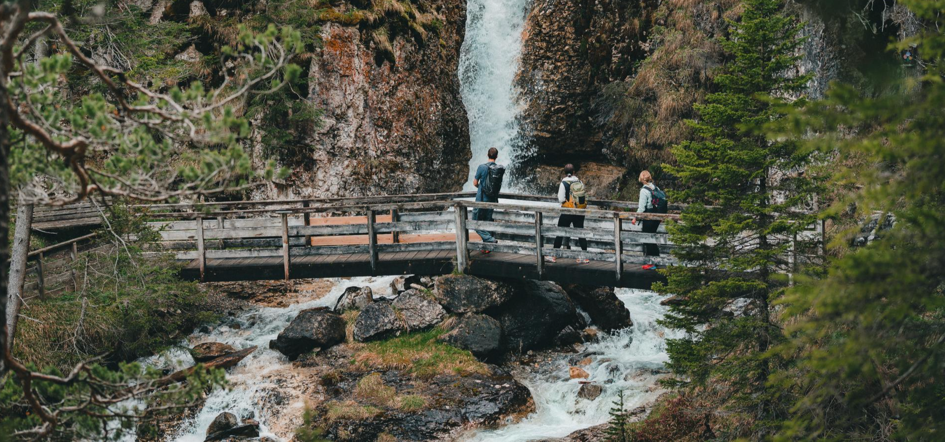
Idyllic mountain lakes and rushing waterfalls – hiking in the Wipptal
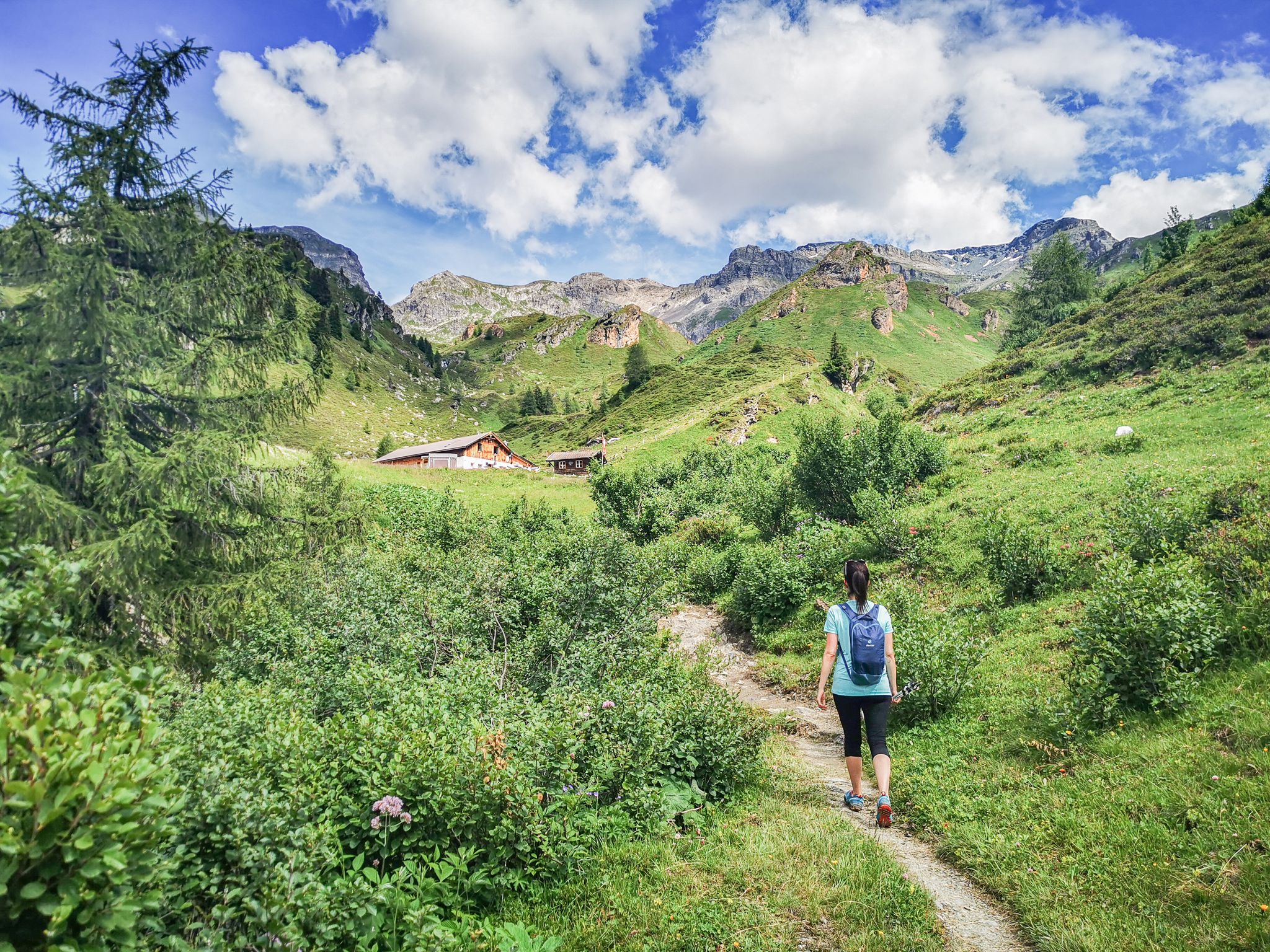
5 culinary alpine and hut hikes in Austria's Wipptal
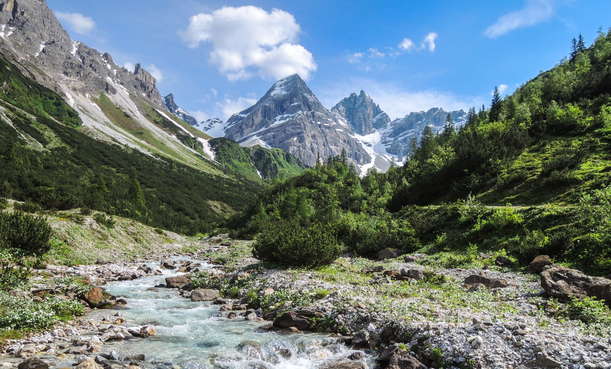
A journey of discovery in Tyrol – hidden places in the Wipptal Valley
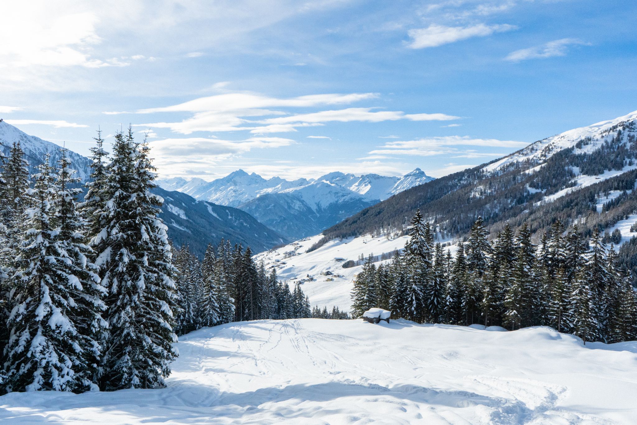
Your winter in Austria’s Wipptal Valley: 10 tips for adventuring in the snow
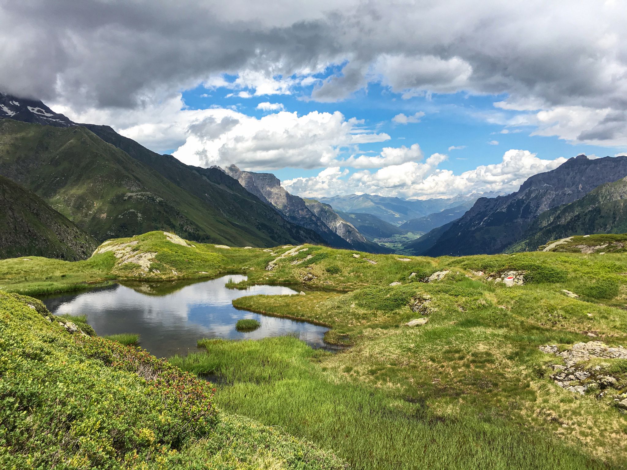
Lonely lakes and thundering waterfalls – magical places in the Wipp Valley
11 colourful autumnal walks in Tyrol in the Alps
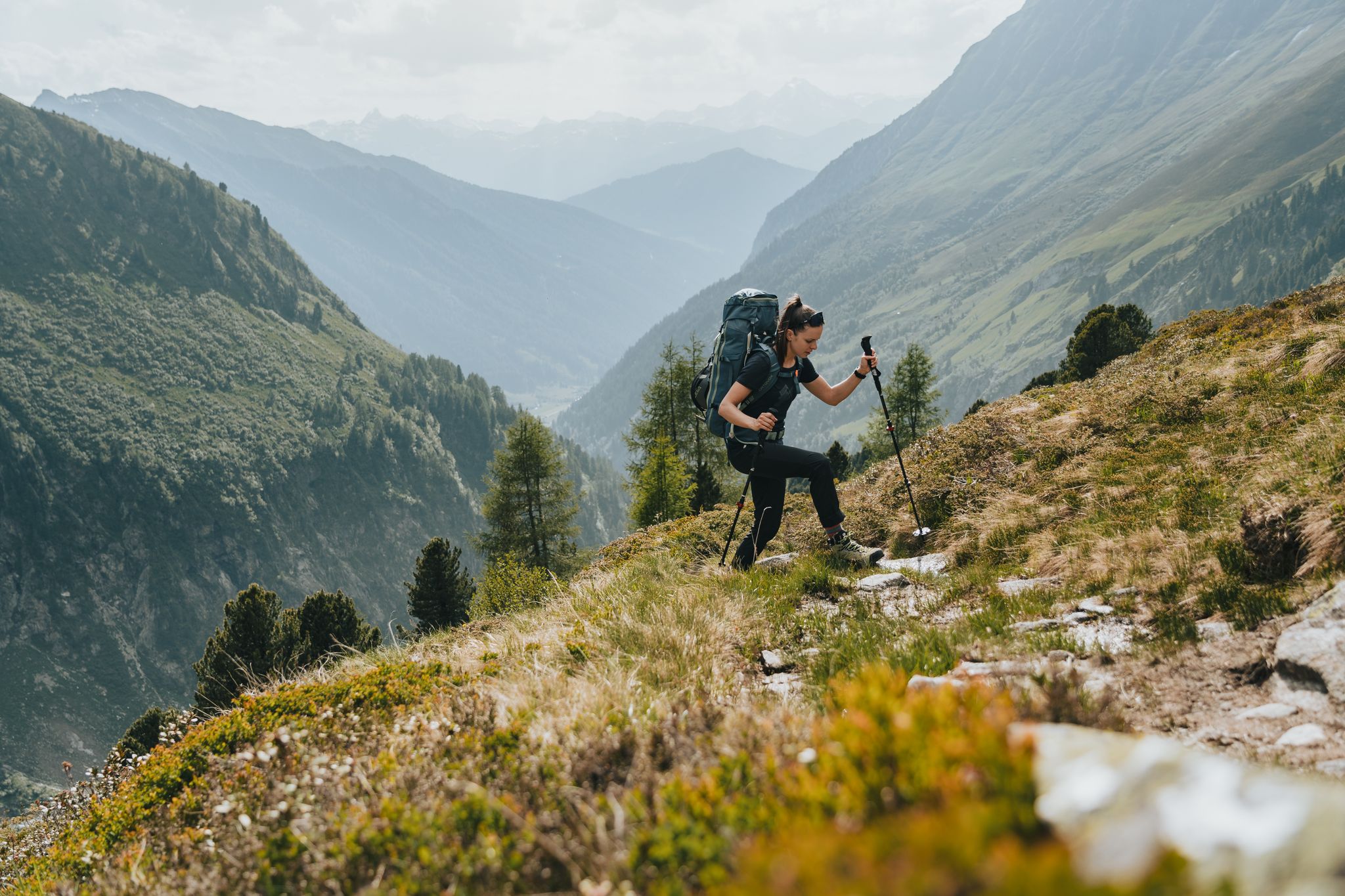
Fünf kulinarische Alm- und Hüttenwanderungen im Wipptal
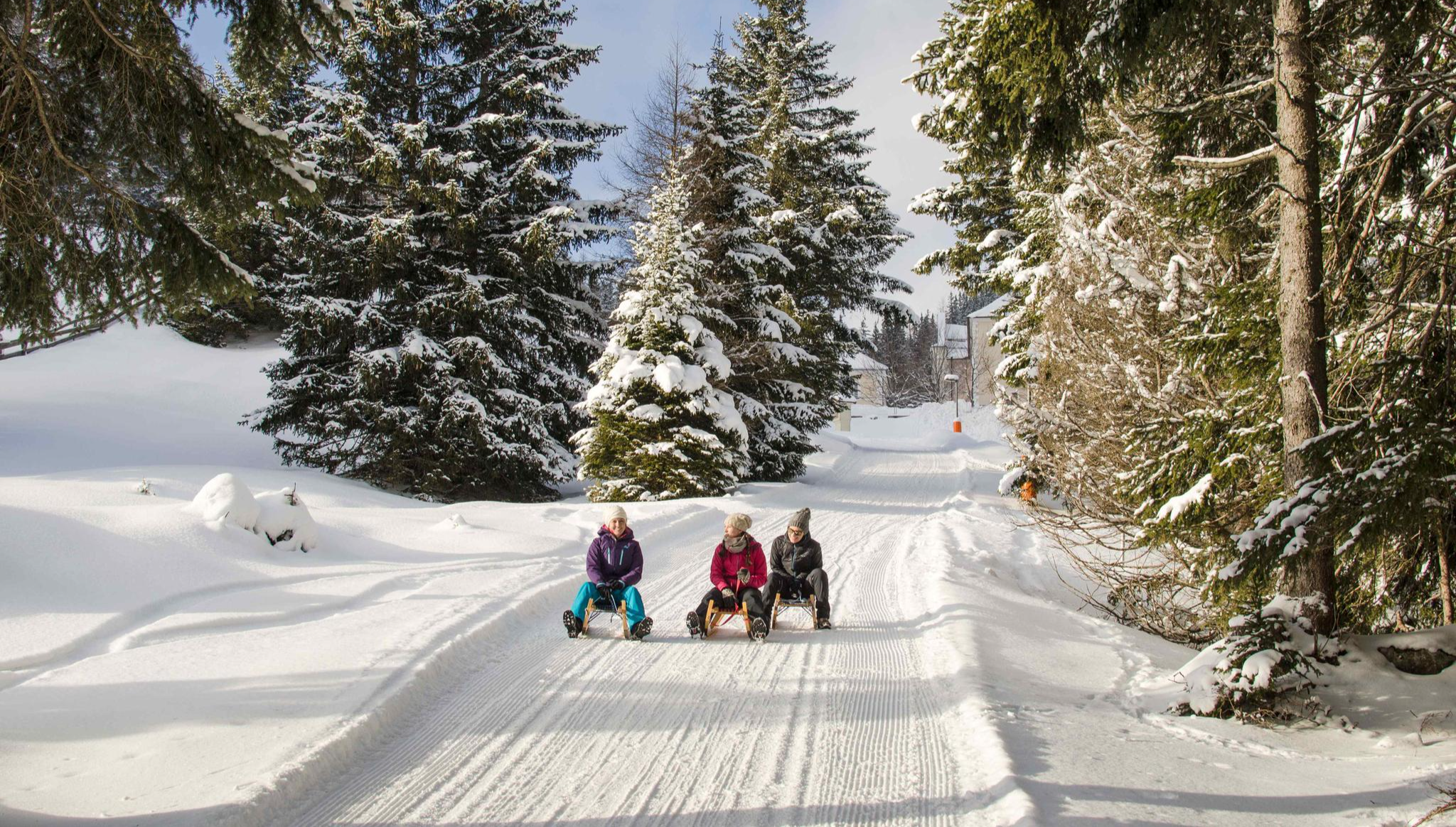
Rodelspaß und urige Hütten – Winterzauber Wipptal
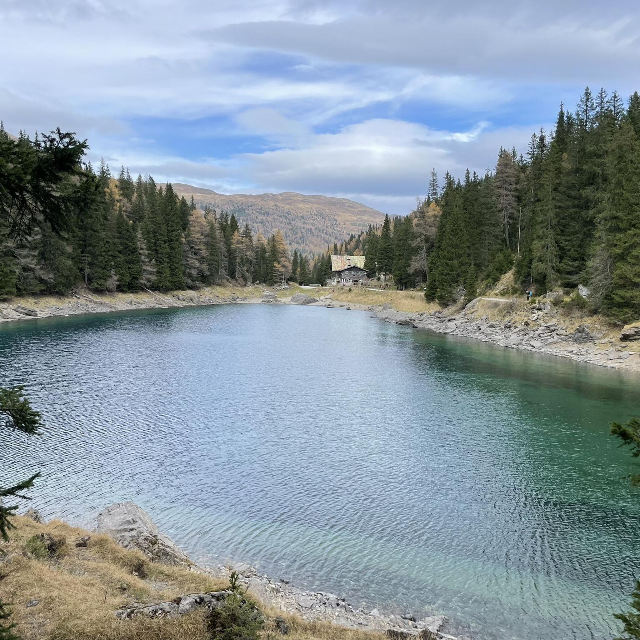
Hiking around Obernberg am Brenner
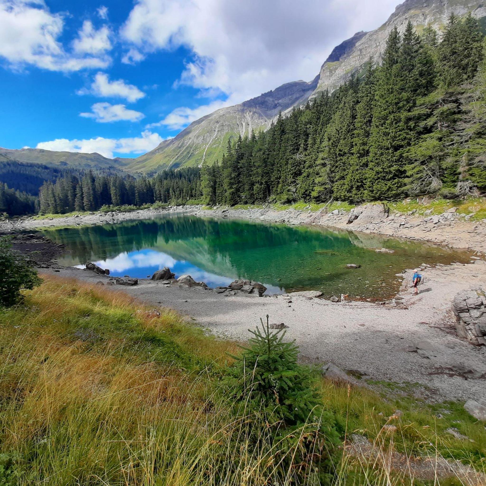
Cycling around Obernberg am Brenner
Other adventures around Obernberg am Brenner


Tips from the Community

Top cycle path through the Einsacktal
1
0
Top descent from the Brenner down to Sterzing
1
0

Available on Zwift - Lutscher route
0
0

What a panorama and feeling of achievement to have made it over the pass by bike.
0
0

The church is dedicated to St. Pancras and is located in the center of Mareit, part of the municipality of Racines. It belongs to the deanery of Sterzing in the Diocese of Bolzano-Brixen.
0
0
Beautiful cycle path with several tunnels
0
0

another interesting section
0
0

The pass is beautifully nestled between the rolling meadows of Lüsen to the north and the Pütia meadows with the steep walls of the eponymous mountain (Sas de Pütia / Peitlerkofel) to the south. From here, you have access to one of South Tyrol's most precious natural landscapes:
6
1
Frequently Asked Questions
How many road cycling routes are available in Obernberg am Brenner?
Obernberg am Brenner offers a diverse network of over 25 road cycling routes. These routes cater to various skill levels, from moderate valley rides to advanced high-alpine ascents.
What are the typical difficulty levels for road cycling routes in Obernberg am Brenner?
The routes in Obernberg am Brenner range from moderate to difficult. There are 6 easy routes, 15 moderate routes, and 7 difficult routes, providing options for different experience levels. The region is known for its significant elevation changes and challenging passes.
Are there easy road cycling routes suitable for beginners in Obernberg am Brenner?
Yes, there are 6 easy road cycling routes available, perfect for beginners or those looking for a more relaxed ride. These routes often follow river courses through valleys, offering gentler gradients compared to the high-alpine passes.
Where can I find challenging road cycling routes in Obernberg am Brenner?
For experienced cyclists seeking a challenge, routes like the View of Forte di Fortezza – Brixen loop from Gossensaß - Colle Isarco offer significant ascents and demanding terrain. This particular route covers 139.9 km with over 2800 meters of elevation gain, providing a true test of endurance.
What kind of views can I expect on road cycling routes in Obernberg am Brenner?
Road cycling routes in Obernberg am Brenner offer breathtaking panoramic views of alpine valleys, such as the Wipptal and Inntal, and surrounding peaks. Routes like the View of Innsbruck – View of Wipptal and Inntal loop from Gossensaß - Colle Isarco are specifically highlighted for their scenic vistas.
Are there scenic road cycling loops in Obernberg am Brenner?
Absolutely. Many routes in the region are designed as loops, allowing you to experience diverse landscapes without retracing your path. The Panoramic View of Colle Isarco loop from Gossensaß - Colle Isarco is a popular choice, leading through scenic mountain passes and valley roads.
What natural attractions can I see along road cycling routes in Obernberg am Brenner?
While cycling, you can explore several natural attractions. Keep an eye out for beautiful alpine lakes such as Lake Obernberg and Lake Licht. The region also features numerous mountain huts like Sattelbergalm and Karalm, which can serve as scenic stopping points.
What do other road cyclists enjoy about the routes in Obernberg am Brenner?
The road cycling routes in Obernberg am Brenner are highly rated by the komoot community, with an average score of 4.7 stars from over 150 reviews. Cyclists often praise the challenging alpine landscapes, the well-maintained mountain roads, and the stunning panoramic views of the valleys and peaks.
What is the best time of year for road biking in Obernberg am Brenner?
The best time for road biking in Obernberg am Brenner is typically from late spring through early autumn (May to October). During these months, the weather is generally more stable, and the high-altitude roads and passes are clear of snow, offering optimal conditions for cycling.
Are there road cycling routes with cafes or places to stop for refreshments?
Yes, many routes in Obernberg am Brenner pass by or near charming alpine huts and villages where you can find cafes and restaurants. These spots are perfect for a break and to refuel. For example, the area around Gossensaß - Colle Isarco, a common starting point, offers several options.
Are there road cycling routes accessible by public transport in Obernberg am Brenner?
While specific public transport access varies by route, many starting points in the broader region, such as Gossensaß - Colle Isarco, are reachable by local bus or train services. It's advisable to check local transport schedules and bike carriage policies when planning your trip.
Where can I find parking for road cycling routes in Obernberg am Brenner?
Parking is generally available in the main villages and at popular trailheads around Obernberg am Brenner. Key starting points like Gossensaß - Colle Isarco often have designated parking areas suitable for cyclists. Always check local signage for specific parking regulations.
Most popular routes around Obernberg am Brenner
Most popular attractions around Obernberg am Brenner
Get inspired with the komoot mobile app


Explore more
Browse the best Road cycling routes in other regions.