The best running trails around Sparham
4.9
(10)
1,284
runners
128
runs
Jogging routes around Sparham offer a diverse landscape for outdoor activity. The region features serene wetlands, historical railway paths, and picturesque riverside routes. These natural environments provide varied terrain, from flat, traffic-free trails to paths winding through woodlands and meadows, suitable for different running preferences.
Best jogging routes around Sparham
- The most popular jogging route is Whitwell Cut-Through – Wasp Beetle loop from Sparham, a 2.5 miles (4.0 km) trail that takes about 26 minutes to complete. This easy…
Last updated: August 21, 2026
12
runners
3.97km
00:26
20m
20m
Easy run. Great for any fitness level. Mostly paved surfaces. Suitable for all skill levels.
7
runners
5.42km
00:34
30m
30m
Moderate run. Good fitness required. Mostly paved surfaces. Suitable for all skill levels.

Sign up for free
7
runners
6.19km
00:39
30m
30m
Moderate run. Good fitness required. Mostly paved surfaces. Suitable for all skill levels.
3
runners
9.47km
00:59
50m
50m
Moderate run. Good fitness required. Mostly paved surfaces. Suitable for all skill levels.
3
runners
5.19km
00:34
30m
30m
Moderate run. Good fitness required. Mostly paved surfaces. Suitable for all skill levels.
Get access to more routes and recommendations from other explorers.
Sign up for free
Already have an account?
Our route recommendations are based on thousands of hikes, rides, and runs completed by other people on komoot.
Start today with a free account
Your next adventure awaits.
Login or Signup
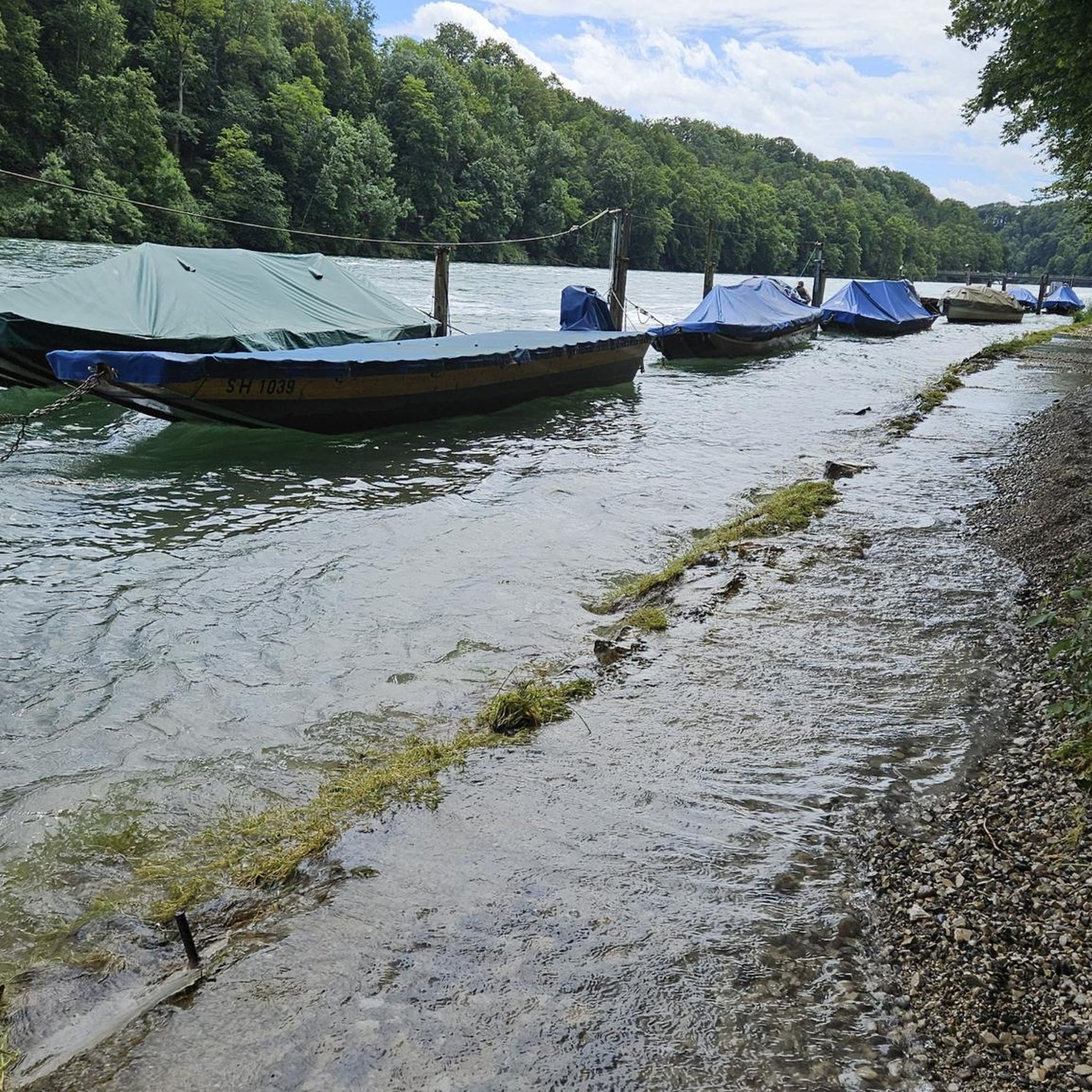

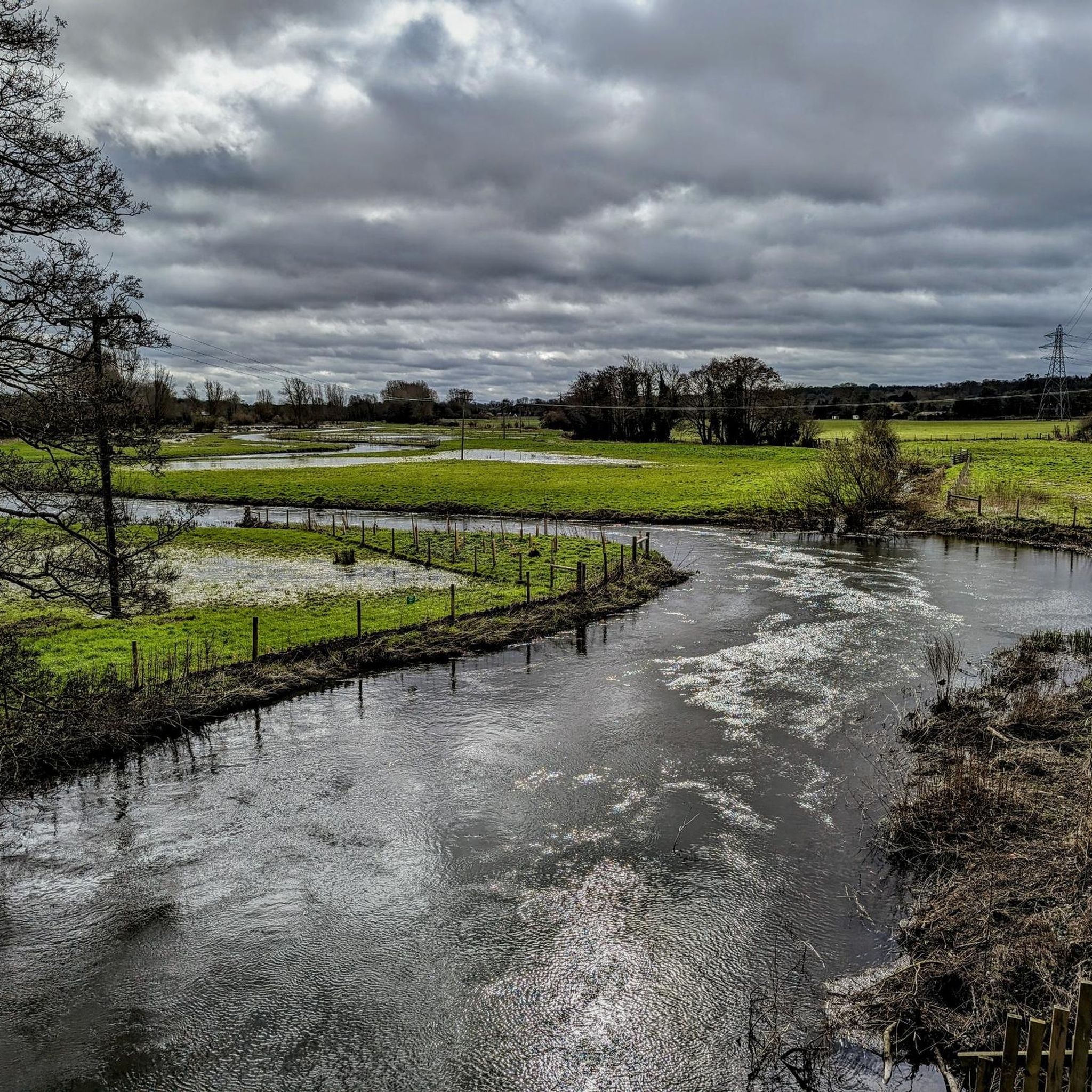


Tips from the Community


Frequently Asked Questions
How many running routes are available around Sparham?
Sparham offers a wide selection of running routes, with over 130 options available. These routes cater to various preferences, from easy strolls to more challenging runs.
Are there easy running routes for beginners in Sparham?
Yes, Sparham has several easy running routes perfect for beginners. There are 17 easy routes, including the popular Whitwell Cut-Through – Wasp Beetle loop from Sparham, which is 2.5 miles (4.0 km) long and takes about 26 minutes to complete.
Can I find circular jogging routes in Sparham?
Many of the jogging routes in Sparham are circular, offering convenient starting and ending points. For example, the 100 Year Wood loop from Elsing is a moderate 3.4-mile (5.4 km) path that winds through woodlands.
Are the running trails around Sparham dog-friendly?
Many of the trails in Sparham, especially those through woodlands and along former railway lines like Marriott's Way, are generally dog-friendly. However, it's always recommended to check specific route details on komoot for any restrictions and to keep dogs on a lead, particularly around wildlife reserves such as Sparham Pools Nature Reserve.
What natural attractions or landmarks can I see while jogging in Sparham?
While jogging in Sparham, you can explore several natural attractions. The Sparham Pools Nature Reserve offers tranquil wetlands and diverse birdlife. You might also encounter sections of Marriott's Way, a historic railway path, or enjoy the scenic beauty along the Wensum Way, which runs alongside Sparham Pools.
Are there options for longer distance running in the Sparham area?
Yes, for longer runs, you can utilize sections of the Marriott's Way, a 24.6-mile (39.5 km) traffic-free trail that connects Norwich to Aylsham. While not a single route in our guide, its proximity offers excellent long-distance opportunities. A moderate option from our guide is the Home – Bawdeswell Church loop from Bawdeswell, which is 5.9 miles (9.5 km).
Where can I find parking for the jogging trails in Sparham?
Parking availability varies by trailhead. For trails accessing Marriott's Way or Sparham Pools Nature Reserve, designated parking areas are often available nearby. For specific routes, it's best to check the individual komoot tour pages for details on parking facilities at the starting point.
What do other runners enjoy the most about jogging in Sparham?
The running routes in Sparham are highly rated by the komoot community, with an average score of 4.9 stars from 8 reviews. Runners often praise the serene wetlands, historical railway paths, and picturesque riverside routes, as well as the variety of terrain suitable for different ability levels.
Are there any family-friendly jogging options in Sparham?
Yes, Sparham offers family-friendly jogging options, particularly on flatter, well-maintained paths. The Whitwell Cut-Through – Wasp Beetle loop from Sparham is an easy and accessible choice for families looking for a shorter run.
What is the best time of year for running in Sparham?
Sparham's natural landscapes are enjoyable year-round. Spring and summer offer lush greenery and vibrant wildlife, especially at Sparham Pools Nature Reserve with its butterflies and damselflies. Autumn provides beautiful foliage, while winter can offer crisp, quiet runs. Always check local weather conditions before heading out.
Are there any moderate running routes for those looking for a bit more challenge?
Absolutely. Sparham features 93 moderate running routes. A good option is the 100 Year Wood loop from Lyng, which covers 3.8 miles (6.2 km) and offers a slightly longer and more varied terrain than the easy routes.
Can I access Sparham's trails using public transport?
While Sparham is primarily accessed by car, some routes, especially those connecting to larger trails like Marriott's Way, may be reachable via local bus services from nearby towns like Norwich or Aylsham. It's advisable to research local bus routes and stops in relation to your chosen trailhead.
Most popular attractions around Sparham

Get inspired with the komoot mobile app


Explore more
Browse the best Running Trails & Routes in other regions.
