The best walks and hikes around Kirstead
4.5
(283)
1,758
hikers
138
hikes
Hikes around Kirstead explore the South Norfolk Claylands, an ancient landscape characterized by high hedges and a mix of arable farmland. The terrain is generally flat or gently rolling, with trails following public footpaths and bridleways through the countryside. Many routes are situated near rivers like the Chet and Waveney, offering waterside sections within the wider Norfolk Broads area.
Best hiking trails around Kirstead
- The most popular hiking route is The Globe Pub – Canola Field loop from Saxlingham Nethergate, a 6.2 mile (10.0 km) trail that takes about 2 hours 35 minutes to complete. This moderate route follows paths through open fields and past small woodlands.
- Another top favourite among local hiking enthusiasts is Framingham Earl Church loop from Framingham Earl, an easy 3.4 mile (5.4 km) path. The trail leads through the agricultural landscape typical of the region.
- Local hiking enthusiasts also love the Earsham Village – View of the River Waveney loop from Ditchingham, a 6.5 mile (10.4 km) trail leading through farmland with views of the river, often completed in about 2 hours 40 minutes.
- Hiking around Kirstead is defined by public footpaths through arable farmland, waterside walks along rivers, and trails connecting scattered woodlands. The network of paths offers options for different ability levels, from short, easy circular walks to longer moderate hikes.
- The routes in Kirstead are highly rated by the komoot community with an average score of 4.5 stars from over 250 reviews. More than 1,700 hikers have used komoot to explore Kirstead's varied terrain.
Last updated: June 24, 2026
4.6
(5)
15
hikers
10.2km
02:38
50m
50m
Moderate hike. Good fitness required. Easily-accessible paths. Suitable for all skill levels.
4.7
(3)
18
hikers
12.3km
03:11
70m
70m
Moderate hike. Good fitness required. Easily-accessible paths. Suitable for all skill levels.

Sign up for free
1.0
(1)
4
hikers
10.7km
02:46
50m
50m
Moderate hike. Good fitness required. Easily-accessible paths. Suitable for all skill levels.
5.0
(1)
7
hikers
5.10km
01:19
30m
20m
Easy hike. Great for any fitness level. Easily-accessible paths. Suitable for all skill levels.
4.9
(8)
10
hikers
6.30km
01:38
30m
40m
Easy hike. Great for any fitness level. Easily-accessible paths. Suitable for all skill levels.
Get access to more routes and recommendations from other explorers.
Sign up for free
Already have an account?
Our route recommendations are based on thousands of hikes, rides, and runs completed by other people on komoot.
Start today with a free account
Your next adventure awaits.
Login or Signup


Tips from the Community

A hidden cycle-friendly venue! Fronts directly on to the high street but there is space for bikes at the back. Open 10am-4.30pm Mon-Sat.
0
0

The village of Earsham nestles within a meander of the River Waveney, to the west of the market town of Bungay. Its historic Queen's Head pub operated as a coaching inn in the mid-19th century and is still going today, with a range of real ales, ciders and craft beers. The Angles Way long-distance trail passes through the village.
0
0
Scenic village although surprisingly no pub, shop or cafe for refreshments.
1
0
Striking position on a prominent rise above the valley - you can see St Mary's Church in the distance on the far side.
0
0

Old phone box which has been repurposed to hold information about Boudicca Way
0
0

Great spot for watching the wildfowl when the water skiers aren't using the lakes
0
0

The lake here is private and used by the local waterski club. However, from the roadside, you can admire the flooded gravel pits and get a close-up view of the quarry conveyor belt. This conveyor runs under Bath Hills Road and Hall Road to the sand and gravel workings to the south. Thanks to its proximity to the road, you'll get an unusual opportunity to see this bit of logistical genius. Not to be mistaken for the bottom of a toboggan run.
0
0
Bring your binoculars there's usually a lot of wildfowl and wildlife to be seen here. Albeit at a distance.
1
1
Frequently Asked Questions
Are there many hiking trails to choose from around Kirstead?
Yes, there's a wide selection of routes. You can find over 140 trails in the area, ranging from easy strolls to more moderate hikes, ensuring plenty of options for all ability levels.
What do other hikers think of the trails in this region?
The hiking routes around Kirstead are highly regarded by the komoot community. With an average rating of 4.5 stars from over 250 reviews, people often praise the peaceful agricultural landscapes and the well-maintained public footpaths.
Are there any good circular walks starting near Kirstead?
Absolutely. The area is perfect for loop hikes. A great example is the Canola Field loop from Shotesham. It's an easy 3.8-mile (6.2 km) walk that takes you through the classic Norfolk countryside of open fields and small woods.
Can I bring my dog on the trails?
Yes, the region is generally dog-friendly. The trails consist mainly of public footpaths and bridleways through open farmland. However, you will likely cross fields with livestock, so it's essential to keep your dog on a lead in these areas.
What are the best options for a short, easy walk?
There are many easy hikes available. For a straightforward and pleasant walk, consider the Framingham Earl Church loop from Framingham Earl. This 3.4-mile (5.4 km) trail is mostly flat and offers a lovely tour of the local agricultural scenery.
Are there any family-friendly hikes in the area?
The gentle, rolling terrain makes many trails suitable for families. A popular spot for a family walk is Horstead Mill, which is highly regarded by locals for its beautiful natural setting. The paths there are great for exploring with children.
Can I find a hike that includes a stop at a pub?
Yes, several routes are planned around a pub stop. For a longer walk, the The Globe Pub – Canola Field loop from Shotesham is a 7.5-mile (12.1 km) moderate hike that conveniently starts and ends near a pub, perfect for refreshments after your walk.
What kind of scenery can I expect on a hike around Kirstead?
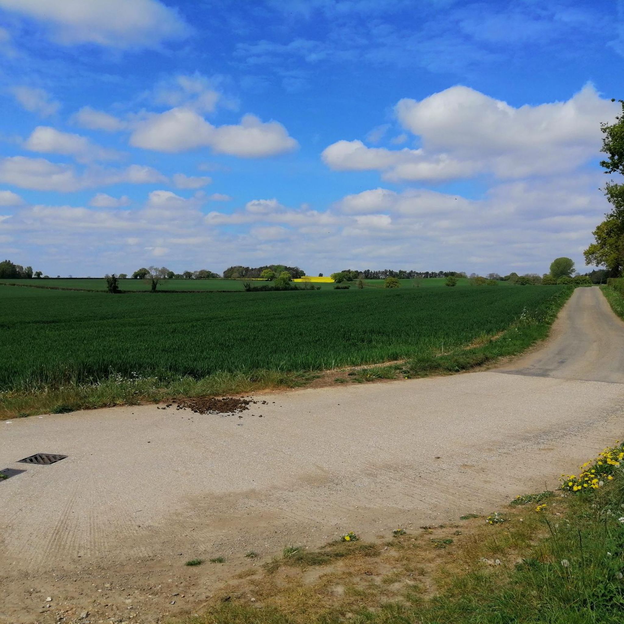
The landscape is classic South Norfolk Claylands. Expect to walk through a patchwork of arable farmland, along paths lined with high hedges and ancient pollarded trees. Many trails also feature waterside sections along rivers like the Chet and Waveney.
Are there any long-distance footpaths accessible from Kirstead?
Yes, you can access sections of larger trails. The Wherryman's Way, a 35-mile path from Norwich to Great Yarmouth, passes nearby. You can easily join a portion of it for a day hike to experience scenic views along the River Yare.
Where is a good place to park for a walk?
Most walks begin in nearby villages like Loddon, Shotesham, or Ditchingham, where you can usually find on-street parking or small public car parks. For example, walks starting in Loddon often use the Loddon Staithe car park as a convenient base.
Are there any trails with good river views?
Definitely. For lovely views of the River Waveney, try the Earsham Village – View of the River Waveney loop from Ditchingham. This 6.5-mile (10.4 km) moderate trail takes you through farmland with scenic outlooks over the river valley.
How do I get to the trailheads using public transport?
Accessing trailheads by public transport can be challenging as Kirstead is a small rural parish. Your best option is to take a bus to a larger nearby town like Loddon, which is a hub for several walking routes and has better bus connections to Norwich and other regional centres.
Most popular attractions around Kirstead

Get inspired with the komoot mobile app


Explore more
Browse the best Hikes in other regions.
