The best road cycling routes around Wesselburenerkoog
4.5
(156)
2,109
riders
104
rides
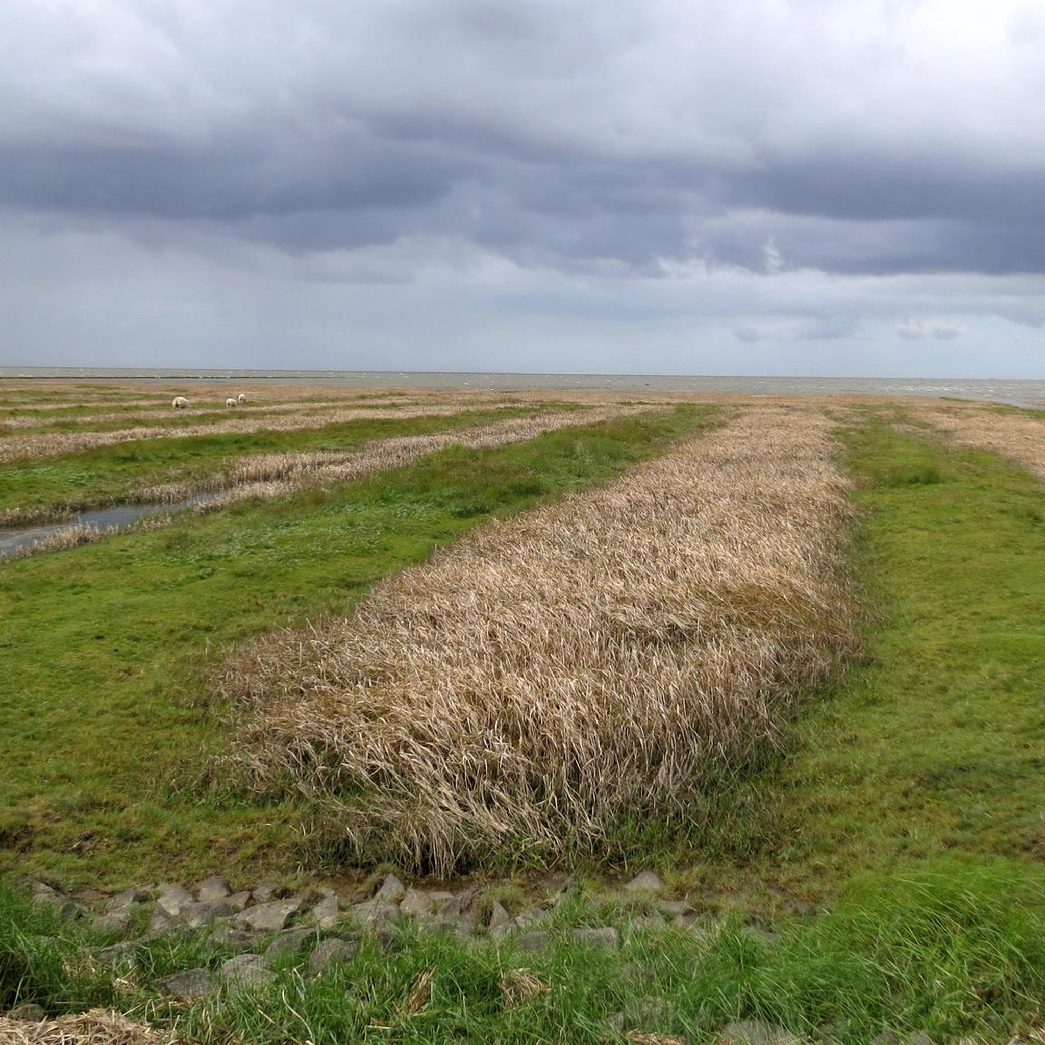
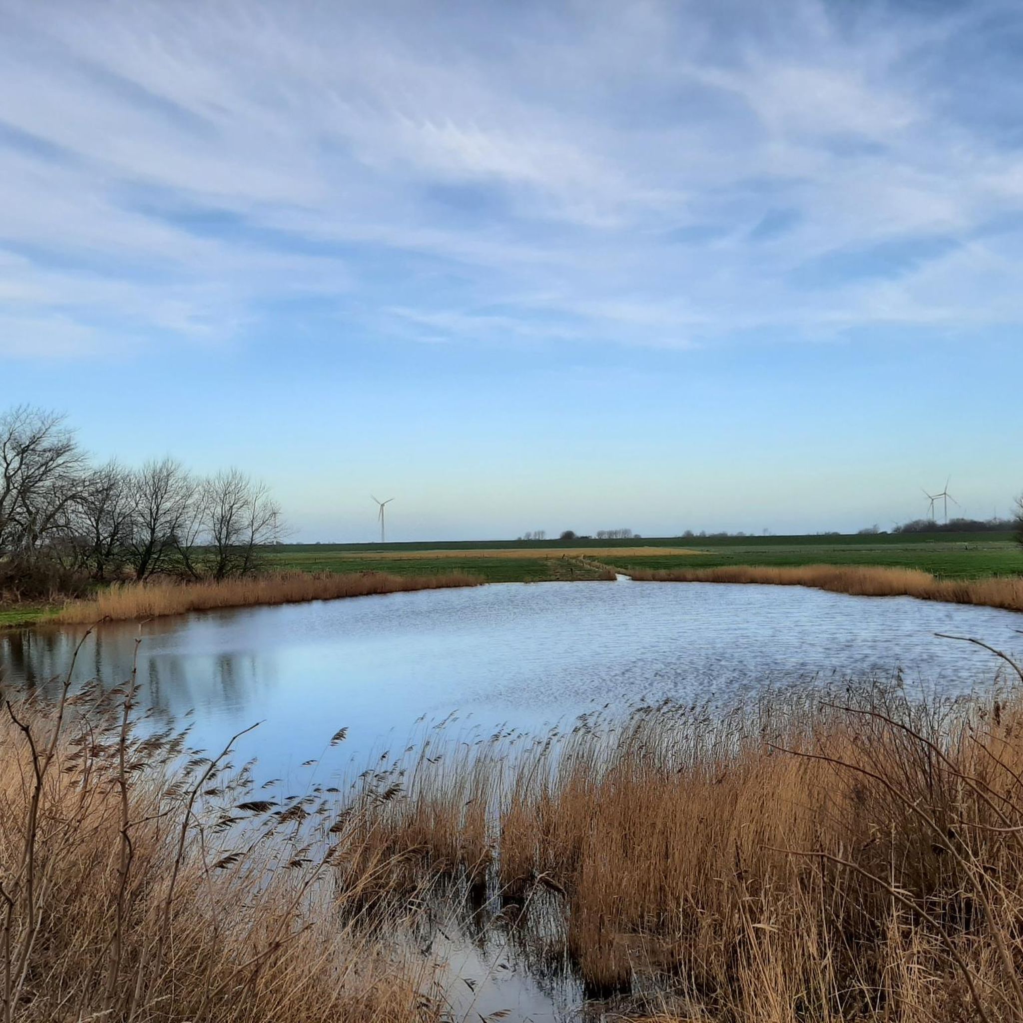
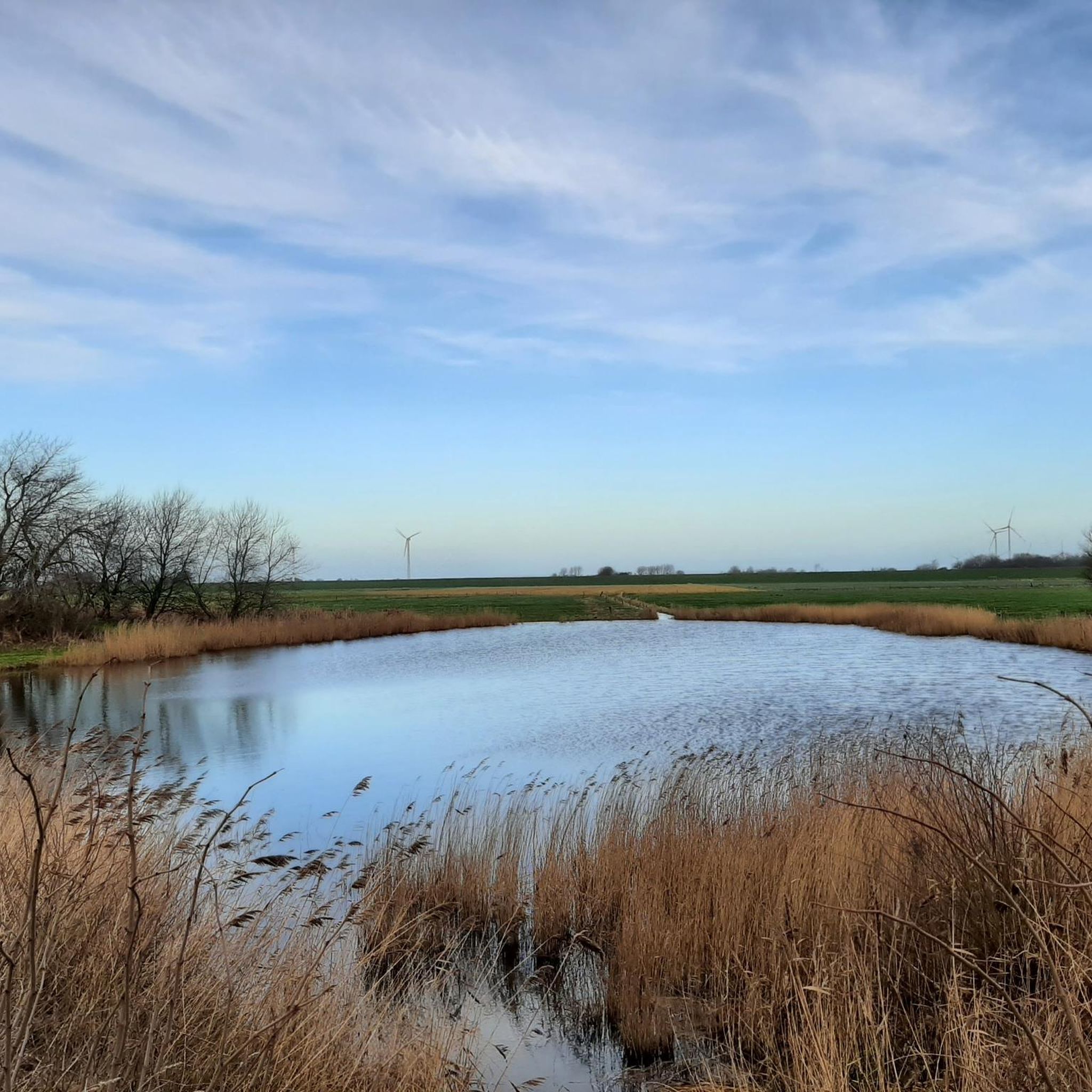
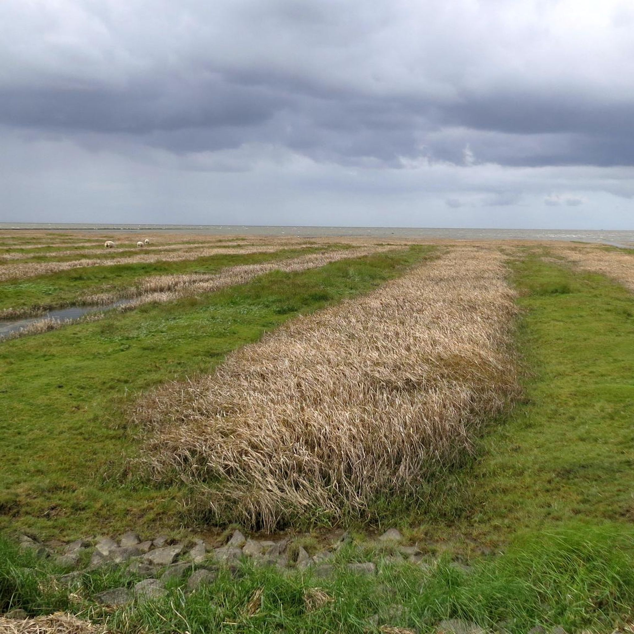
Road cycling around Wesselburenerkoog is characterized by its exceptionally flat terrain, largely consisting of reclaimed land known as "Koog." This low elevation, typically between 0 and 4 meters above sea level, provides accessible road cycling experiences with minimal elevation changes. The area is situated directly at the mouth of the Eider River into the North Sea, featuring dikes and the Eidersperrwerk (Eider Barrage) which offer routes with panoramic views. The landscape includes parts of the Dithmarscher Eiderwatt nature reserve, enhancing…
Last updated: July 1, 2026
4.1
(11)
175
riders
Moderate road ride. Good fitness required. Mostly well-paved surfaces and easy to ride.
4.7
(3)
61
riders
Moderate road ride. Good fitness required. Some segments of this route may be unpaved and difficult to ride.

Sign up for free
3.7
(3)
43
riders
Moderate road ride. Great for any fitness level. Some segments of this route may be unpaved and difficult to ride.
4.7
(3)
24
riders
Moderate road ride. Great for any fitness level. Some segments of this route may be unpaved and difficult to ride.
3.0
(1)
17
riders
23.5km
01:14
30m
30m
Moderate road ride. Great for any fitness level. Some segments of this route may be unpaved and difficult to ride.
Get access to more routes and recommendations from other explorers.
Sign up for free
Already have an account?
Our route recommendations are based on thousands of hikes, rides, and runs completed by other people on komoot.
Start today with a free account
Your next adventure awaits.
Login or Signup
Tips from the Community

A very beautiful landscape.
0
0

Top asphalt, color looks like in a lava landscape
1
0

Beautiful old town, dotted with some "junk" shops, restaurants, and ice cream parlors.
2
0
There is a lot to discover.
0
0

The Martplatz is the center of Friedrichstadt and has a special charisma due to the design of the houses.
2
0

A beautiful little canal town in the Dutch style. Interesting city museum on the Middle Moat.
1
0
Here the town sign is deservedly a highlight.
1
0
Very pretty old town, great brick architecture and nice little shops. Definitely worth a stop.
2
0
Frequently Asked Questions
What is the typical terrain like for road cycling around Wesselburenerkoog?
Road cycling around Wesselburenerkoog is characterized by exceptionally flat terrain, primarily consisting of reclaimed land known as "Koog." Elevations typically range between 0 and 4 meters above sea level, making for accessible rides with minimal changes in gradient. You'll often find yourself cycling along dikes, offering expansive views of the North Sea and the Eider River estuary.
Are there road cycling routes suitable for beginners or those seeking an easy ride?
Yes, the predominantly flat landscape of Wesselburenerkoog is ideal for beginners and those looking for an easy, relaxed ride. Many routes offer gentle gradients and well-maintained surfaces. For example, the route Eider Barrage – Katingsiel loop from Tönning is a moderate option that is still very manageable, covering 23.3 km with minimal elevation.
What natural features can I expect to see while road cycling in Wesselburenerkoog?
You'll encounter a unique blend of coastal and river landscapes. Key natural features include the mouth of the Eider River into the North Sea, extensive dike systems, and parts of the Dithmarscher Eiderwatt nature reserve. The flat, open terrain also provides panoramic views, especially of the UNESCO World Heritage Wadden Sea, offering a serene and immersive cycling experience.
Are there any notable landmarks or attractions along the road cycling routes?
Yes, several points of interest can be explored. The impressive Eider Barrage (Eider-Sperrwerk) is a significant landmark, offering views of the North Sea and river. You might also pass through or near Tönning, with its Historic Harbour, or cycle along the Cycling Path Along the North Sea Dike.
Are there road cycling routes that form a loop?
Many road cycling routes in the Wesselburenerkoog area are designed as loops, allowing you to start and end at the same point. An example is the Historic Harbour of Tönning – Eider Barrage loop from Hillgroven, which is a popular 32.9 km loop.
What do other road cyclists enjoy the most about road cycling in Wesselburenerkoog?
The area is highly rated by the komoot community, with an average score of 4.5 stars from over 150 reviews. Reviewers often praise the quiet, flat roads, the expansive views of the North Sea and Eider estuary, and the well-maintained paths along the dikes, which make for a very enjoyable and accessible cycling experience.
What is the best time of year for road cycling in Wesselburenerkoog?
The spring, summer, and early autumn months generally offer the most pleasant conditions for road cycling in Wesselburenerkoog. During these periods, the weather is typically milder, and the open landscapes provide beautiful views. However, due to the coastal location, be prepared for potential winds at any time of year.
Are there family-friendly road cycling options in Wesselburenerkoog?
Absolutely. The flat and well-maintained dikes and country roads make Wesselburenerkoog an excellent destination for family-friendly road cycling. The minimal elevation changes mean that routes are generally suitable for cyclists of all ages and abilities, allowing families to enjoy the scenic coastal environment together.
Where can I find parking for road cycling routes in Wesselburenerkoog?
While specific parking areas for each route may vary, many starting points in towns like Tönning or near major landmarks like the Eider Barrage offer public parking facilities. Given the region's focus on outdoor activities, you'll often find convenient parking options close to popular cycling access points.
Can I reach road cycling routes in Wesselburenerkoog using public transport?
Public transport options to Wesselburenerkoog and surrounding areas are available, primarily via regional bus services or train connections to nearby towns like Tönning. From these points, you can often access various road cycling routes. It's advisable to check local transport schedules and bike carriage policies in advance.
How many road cycling routes are available around Wesselburenerkoog?
There are over 100 road cycling routes available around Wesselburenerkoog on komoot, offering a wide variety of distances and experiences. These include both easy and moderate options, ensuring there's a suitable ride for almost every skill level.
Are there any longer road cycling routes for endurance training?
Yes, while the terrain is flat, you can combine routes or choose longer loops for endurance training. The Cycle Path to St. Peter-Bad – Vollerwiek Green Swimming Area loop from Tönning, at 66 km, offers a substantial distance with expansive coastal views, perfect for a longer ride.
Most popular attractions around Wesselburenerkoog

Get inspired with the komoot mobile app


Explore more
Browse the best Road cycling routes in other regions.
