The best road cycling routes around Walpole Highway
4.5
(27)
845
riders
106
rides
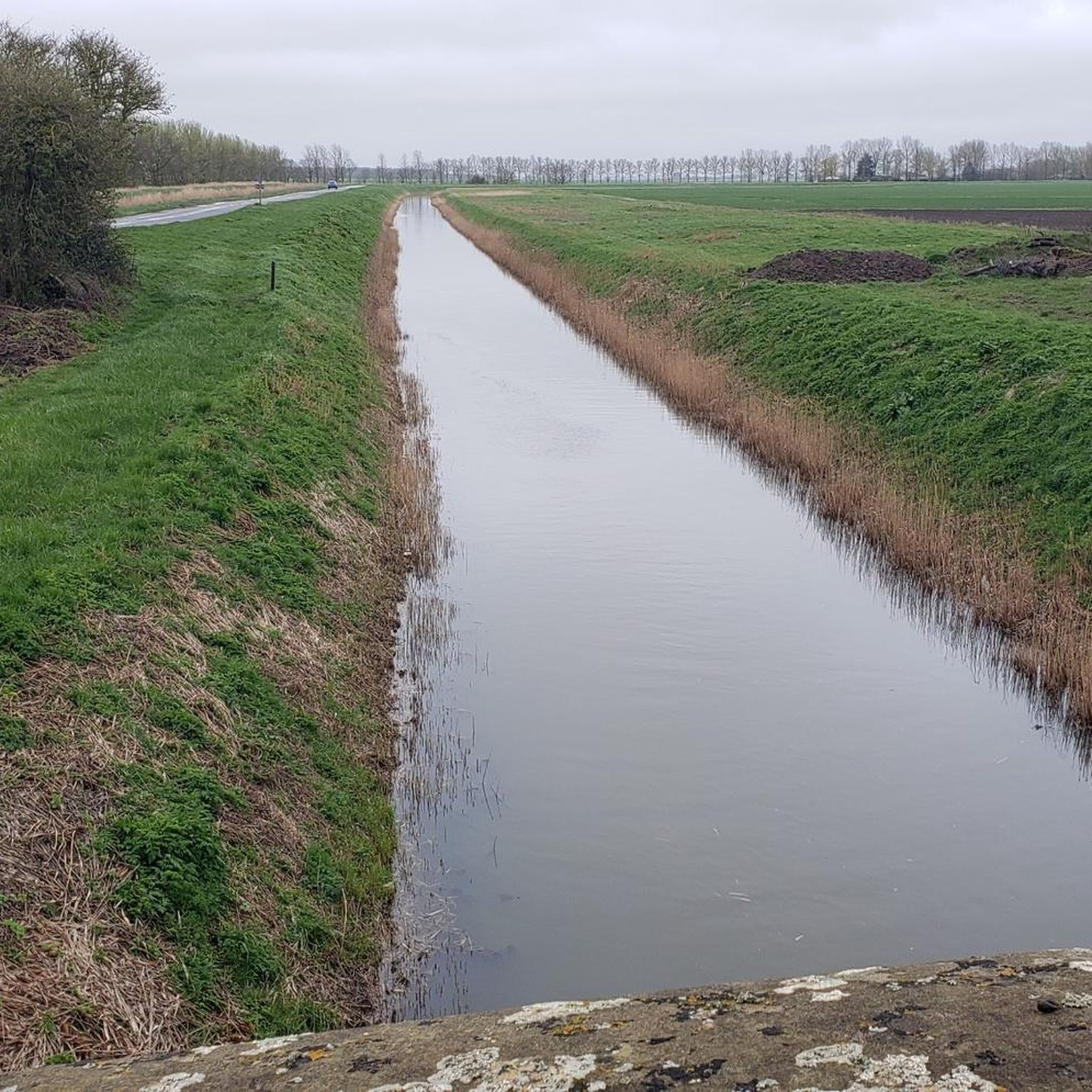
Road cycling routes around Walpole Highway, located in Norfolk, UK, traverse a landscape characterized by its relatively flat terrain, which is suitable for longer distances without strenuous climbs. The area features mostly well-paved surfaces, with some routes potentially including unpaved segments. This region offers varied cycling opportunities, from easy rides suitable for any fitness level to moderate routes requiring good fitness.
Best road cycling routes around Walpole Highway
- The most popular road cycling route is Clarkson Memorial, Wisbech – Nene…
Last updated: July 2, 2026
16
riders
Moderate road ride. Good fitness required. Mostly well-paved surfaces and easy to ride.
4
riders
91.8km
03:35
110m
110m
Moderate road ride. Good fitness required. Mostly well-paved surfaces and easy to ride.

Sign up for free
7
riders
54.7km
02:12
110m
110m
Moderate road ride. Good fitness required. Mostly well-paved surfaces and easy to ride.
5
riders
Easy road ride. Great for any fitness level. Mostly well-paved surfaces and easy to ride.
7
riders
Easy road ride. Great for any fitness level. Mostly well-paved surfaces and easy to ride.
Get access to more routes and recommendations from other explorers.
Sign up for free
Already have an account?
Our route recommendations are based on thousands of hikes, rides, and runs completed by other people on komoot.
Start today with a free account
Your next adventure awaits.
Login or Signup
Popular around Walpole Highway


Tips from the Community

What a treat, the only way to to get into the city IMHO :-)
0
0

Fairly large but otherwise undistinguished parish church.
0
0

Museum of Lynn, the Town Jewels and a gaol bit, good to go upstairs to see the Guild halls
0
0
17th century building with impressive chequerboard stonework. Shows how wealthy the town was back in its heyday.
0
0

I went very early spring and it was quite pretty, interesting for the ride, certainly stopped the wind cutting across the fields
0
0
The most impressive remaining piece of King’s Lynns ancient fortifications, which you still pass through when entering the town from the south.
0
0

This is an excellent traffic-free cycle path that runs along the River Great Ouse into Kings Lynn. This section traces a wide part of the Great Ouse, close to its mouth at The Wash where it drains into the North Sea. It's the longest of several British rivers called "Ouse", flowing through Buckinghamshire, Bedfordshire, Cambridgeshire and Norfolk to its source in Syresham in Northamptonshire.
2
0
Frequently Asked Questions
How many road cycling routes are available around Walpole Highway?
There are over 100 road cycling routes available around Walpole Highway, offering a wide range of options for different skill levels and preferences. You'll find 53 easy routes and 56 moderate routes to explore.
What kind of terrain can I expect on road cycling routes near Walpole Highway?
The Walpole Highway area in Norfolk, UK, is characterized by its relatively flat terrain, making it ideal for longer distances without strenuous climbs. Routes primarily feature well-paved surfaces, though some may include short unpaved segments, especially through the fenland landscapes.
Are there road cycling routes suitable for beginners or those seeking an easy ride?
Yes, Walpole Highway offers numerous easy road cycling routes. For example, the Fenland Hill Climb loop from Marshland St James is an easy 42.3 km ride, and the Fenland Hill Climb – Gravel Bank Bridge loop from Marshland St James is another easy option at 29.7 km.
What interesting landmarks or attractions can I see while cycling near Walpole Highway?
While cycling, you can pass by several notable landmarks. Consider routes that take you near the Clarkson Memorial, Wisbech, or the historic Elgood's Brewery & Gardens. You might also cross the Cross Keys Bridge or the Gravel Bank Bridge, offering scenic views.
Are there any longer distance road cycling routes in the Walpole Highway area?
For longer rides, the Clarkson Memorial, Wisbech – Nene Washes loop from Marshland St James is a popular choice, covering 91.8 km and exploring the significant Nene Washes wetland area. Another substantial option is the Clarkson Memorial, Wisbech – Elgood's Brewery & Gardens loop from Marshland St James, which is 83.9 km long.
What do other cyclists say about road cycling in Walpole Highway?
The komoot community highly rates the road cycling experience around Walpole Highway, with an average score of 4.3 stars from over 20 reviews. Cyclists often praise the varied terrain, from flat fenland to routes passing historic sites, and the options available for different ability levels.
Are there any circular road cycling routes around Walpole Highway?
Many routes in the area are designed as loops, providing a convenient circular journey. For instance, the Gravel Bank Bridge – Medieval South Gate loop from Marshland St James is a 54.6 km circular trail that takes you through the fenland landscapes.
Are there any routes that offer a moderate challenge for experienced cyclists?
Yes, there are 56 moderate routes available for those seeking a good fitness challenge. The longer loops, such as the 83.9 km Clarkson Memorial, Wisbech – Elgood's Brewery & Gardens loop from Marshland St James, offer a moderate difficulty level with sustained distances.
Is it possible to find parking near the road cycling trailheads in Walpole Highway?
While specific parking locations are not detailed for every trailhead, many routes, particularly those starting from Marshland St James, are accessible by car. It's advisable to check local parking availability in villages or designated areas near your chosen starting point.
What is the best time of year for road cycling in Walpole Highway?
Given Norfolk's relatively flat terrain, road cycling is enjoyable for much of the year. Spring and summer offer pleasant weather for longer rides, while autumn can provide beautiful scenery. Winter conditions might be colder, but the flat routes generally remain accessible.
Can I find places to eat or drink near the road cycling routes in Walpole Highway?
Yes, the region has villages and towns like Wisbech and Marshland St James, which offer cafes, pubs, and other amenities where cyclists can refuel. Routes passing through or near these settlements provide convenient stops.
Most popular routes around Walpole Highway
Most popular attractions around Walpole Highway

Get inspired with the komoot mobile app


Explore more
Browse the best Road cycling routes in other regions.
