The best road cycling routes around Mattishall
4.9
(49)
1,184
riders
20
rides
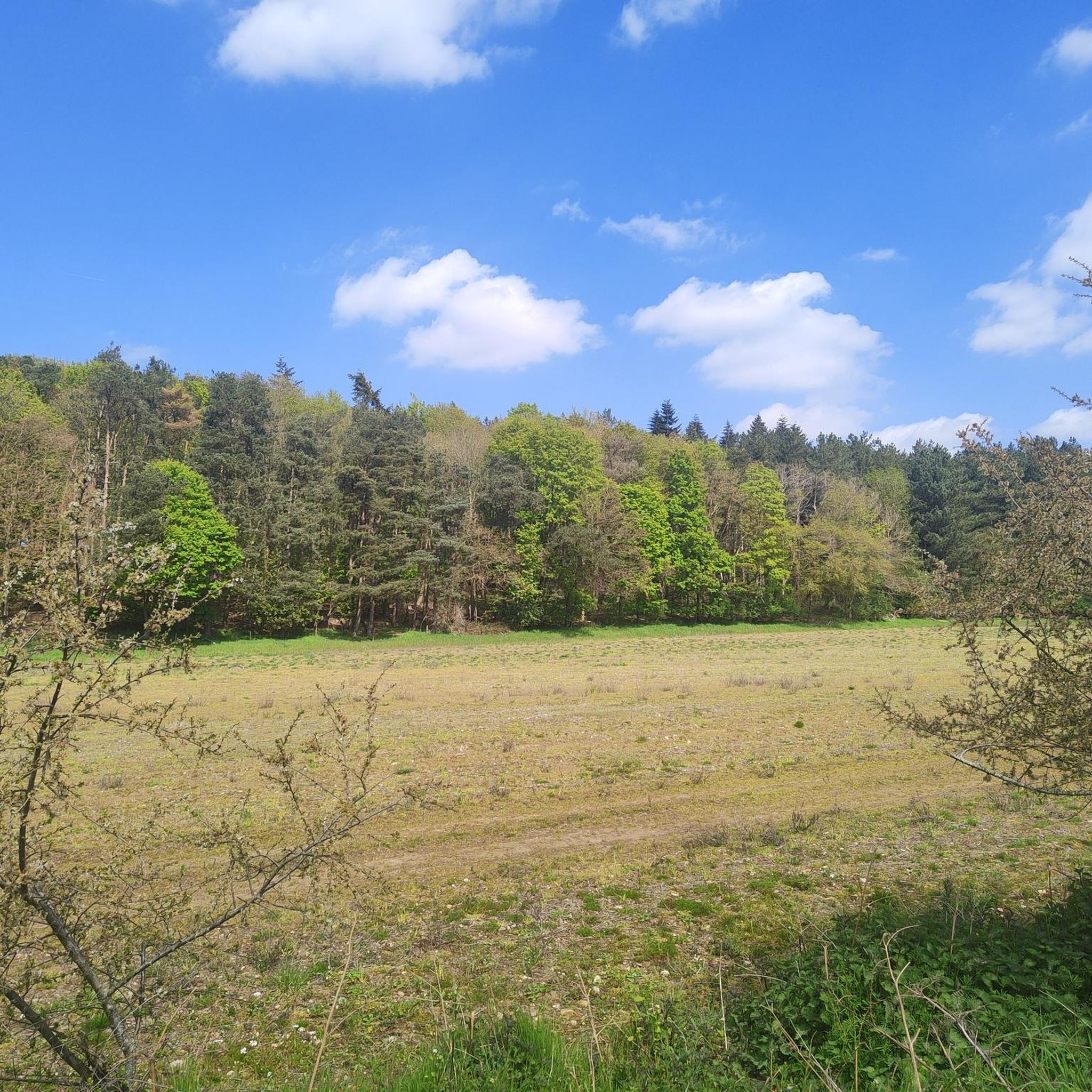
Road cycling routes around Mattishall are characterized by an open, expansive landscape of arable farmland and hedgerows, situated on an elevated plateau of boulder clay. The region features mostly flat, well-paved roads and quiet rural lanes, providing extensive views across the Norfolk countryside. This terrain is ideal for road cycling, offering routes with minimal traffic and diverse scenery.
Best road cycling routes around Mattishall
- The most popular road cycling route is Lyng Watermill – The Angel, Swanton Morley loop from…
Last updated: July 4, 2026
16
riders
Moderate road ride. Good fitness required. Some segments of this route may be unpaved and difficult to ride.
11
riders
34.4km
01:32
140m
140m
Moderate road ride. Great for any fitness level. Some segments of this route may be unpaved and difficult to ride.

Sign up for free
8
riders
26.3km
01:09
110m
110m
Moderate road ride. Great for any fitness level. Some segments of this route may be unpaved and difficult to ride.
8
riders
81.8km
03:33
420m
420m
Moderate road ride. Good fitness required. Mostly well-paved surfaces and easy to ride.
6
riders
45.6km
02:03
170m
170m
Moderate road ride. Good fitness required. Mostly well-paved surfaces and easy to ride.
Get access to more routes and recommendations from other explorers.
Sign up for free
Already have an account?
Our route recommendations are based on thousands of hikes, rides, and runs completed by other people on komoot.
Start today with a free account
Your next adventure awaits.
Login or Signup



Tips from the Community

CLOSED. As of Oct 25 https://www.derehamtimes.co.uk/news/25524451.litcham-deli-close-three-years-trading/
0
0

the Deli is a great refuelling stop with really friendly staff. ( Closed Mondays and Tuesdays)
0
0

Protected reserve of open heath and woodland, with a cattle grid at each end. The warning road sign depicting a Native American warrior on horseback isn't one you encounter very often! If anyone does get scalped while crossing the common be sure to leave a comment.
0
0
There's a pleasant riverside rest spot just next to the bridge on the east bank, overlooking a pool in the river between the bridge and a small weir.
0
0
The original building, where the bar is located, was built over 400 years ago by Abraham Lincoln's 6-greats grandad!
0
0
Pleasant enough village but nothing exceptional. A convenience store and a handy deli if you're looking for a refreshment stop.
0
0
Easily the best coffee for miles around, only diminished by the lack of bike parking or outdoor seating, so it's a case of prop your bike out front where you can see it while you pop in to place your order.
1
0

It has now moved next door. Has a good breakfast, coffee and cake
0
0
Frequently Asked Questions
How many road cycling routes are available around Mattishall?
There are over 20 road cycling routes around Mattishall, catering to various preferences and skill levels. These include a mix of easy and moderate trails, ensuring options for most cyclists.
What kind of landscapes can I expect on road cycling routes near Mattishall?
Road cycling routes around Mattishall offer an open, expansive landscape of arable farmland and hedgerows, providing extensive views across the Norfolk countryside. The area is characterized by mostly flat, well-paved roads and quiet rural lanes. Some routes, like those along the Wensum Way, also wind through diverse landscapes including woodlands, meadows, and tranquil riverside paths.
Are there historical sites or points of interest along the road cycling routes?
Yes, cyclists can encounter several historical and cultural points of interest. Notable sites include the impressive All Saints church in Mattishall, and nearby, the historic Wymondham Abbey and the 17th-century Wymondham Market Cross. The Wensum Way also incorporates historic sites such as medieval churches and old mills.
Are there any dedicated traffic-free cycle paths in the Mattishall area?
Yes, a significant draw is the Marriott's Way, a 39.5 km (26-mile) traffic-free path built on a former railway line. It welcomes cyclists, walkers, and horse riders, connecting Norwich to Aylsham and offering a safe, scenic route away from road traffic.
Can I find circular road cycling routes around Mattishall?
Yes, many of the road cycling routes around Mattishall are designed as loops, allowing you to start and finish in the same location. Examples include the moderate Lyng Watermill – The Angel, Swanton Morley loop (55.4 km) and the easier Lyng Watermill – River Wensum Bridge Rest Spot loop (34.4 km).
What is the best time of year for road cycling in Mattishall?
The mostly flat terrain and well-paved roads make Mattishall suitable for road cycling throughout much of the year. However, spring and summer offer the most pleasant conditions with milder weather and longer daylight hours, ideal for enjoying the open agricultural landscapes and panoramic views.
Are there options for longer distance road cycling from Mattishall?
Yes, for those seeking longer rides, routes like the Litcham Deli – Shou Coffee loop offer distances of over 80 km. These routes allow you to explore more of the wider Norfolk region, connecting various villages and scenic spots.
Are there places to stop for refreshments along the routes?
While specific cafes are not always directly on every route, many villages and towns along the cycling paths, such as Swanton Morley, offer pubs and small shops where you can stop for refreshments. Planning your route with potential stops in mind is recommended.
Are the road cycling routes around Mattishall generally quiet?
Yes, a key characteristic of road cycling around Mattishall is the prevalence of quiet rural lanes. The area is known for minimal traffic on many routes, providing a serene and enjoyable cycling experience through the agricultural landscape.
What do other cyclists say about road cycling in Mattishall?
The road cycling routes around Mattishall are highly rated by the komoot community, with an average score of 4.9 stars from over 40 reviews. Cyclists often praise the quiet, well-maintained roads, the expansive countryside views, and the variety of routes suitable for different abilities.
Are there family-friendly road cycling options near Mattishall?
For families, the Marriott's Way is an excellent choice as it's a traffic-free path. Additionally, easy loops like The Angel, Swanton Morley loop (26.3 km) offer gentle terrain on quiet lanes, suitable for a relaxed family ride.
Are there scenic viewpoints on the road cycling routes around Mattishall?
The elevated plateau of boulder clay on which Mattishall sits provides extensive views across the Norfolk countryside. From higher points like High Oak, you can enjoy panoramic vistas of the open arable farmland and hedgerows, offering a strong sense of openness and natural beauty.
Most popular attractions around Mattishall

Get inspired with the komoot mobile app


Explore more
Browse the best Road cycling routes in other regions.
