The best road cycling routes around Mautby
4.4
(65)
1,672
riders
111
rides
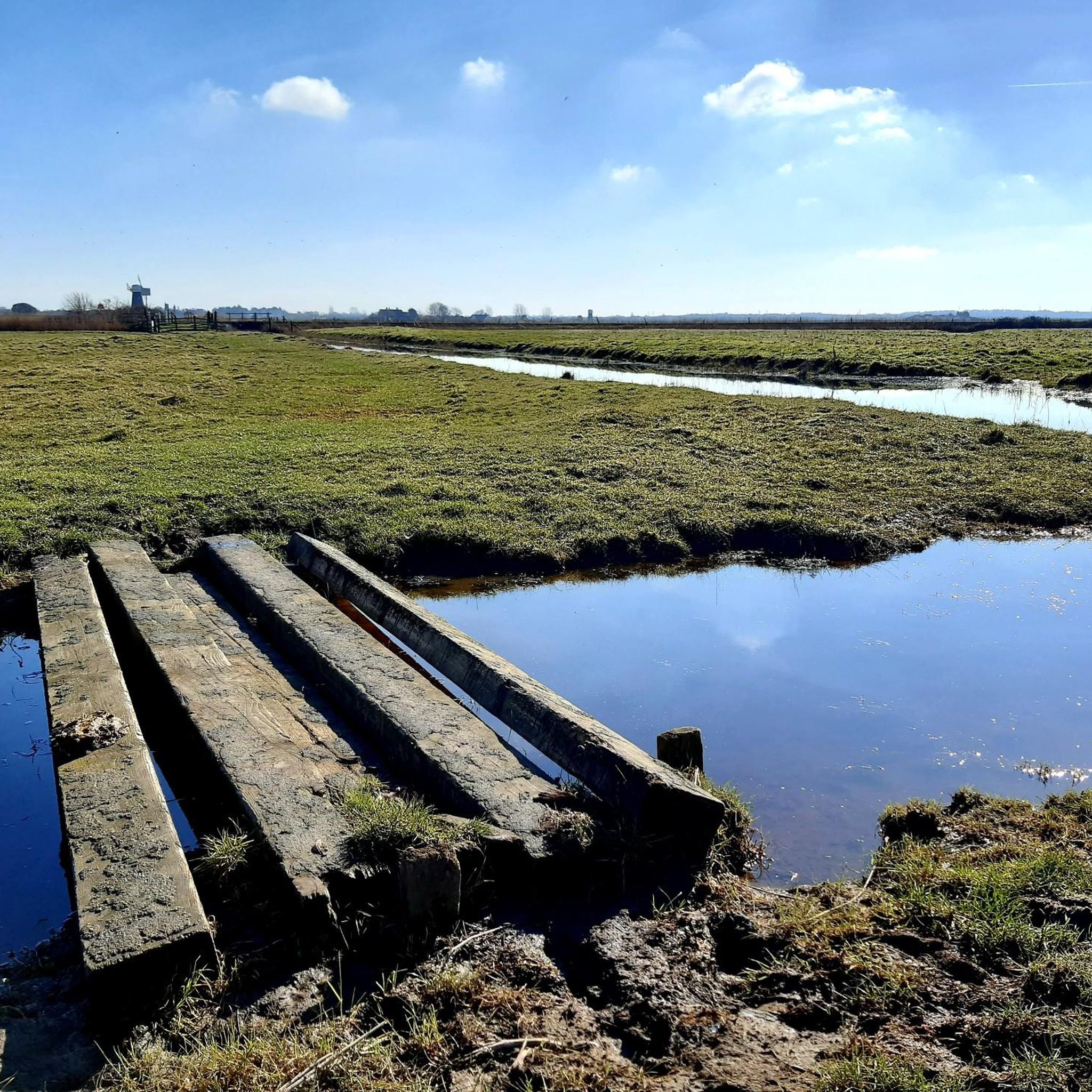
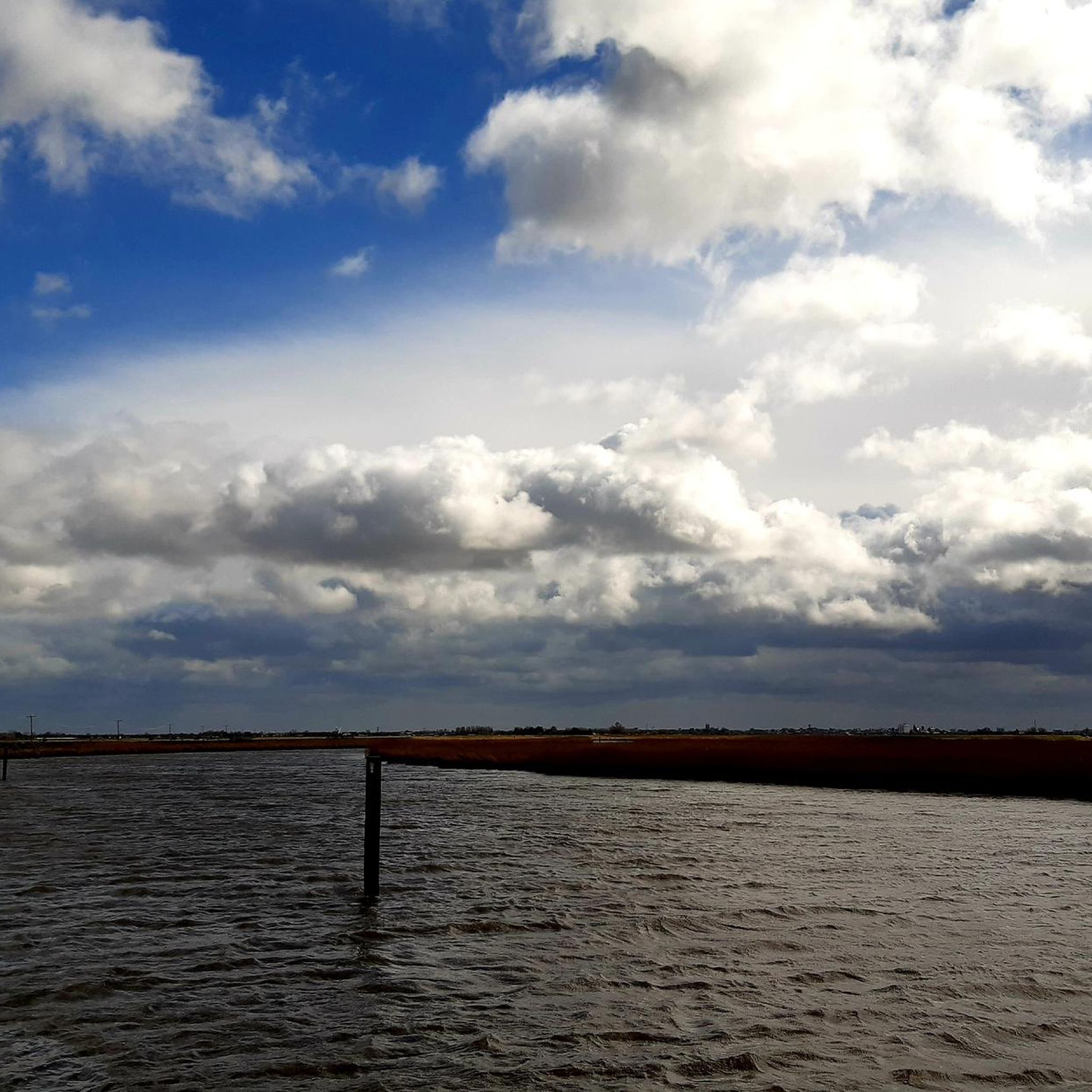
Road cycling around Mautby is characterized by the expansive and largely flat terrain of the Norfolk Broads. This low-lying landscape features numerous waterways, open marshes, and agricultural fields, providing predominantly level conditions ideal for road cycling. The flat topography minimizes challenging ascents, making routes accessible for various skill levels. Cyclists can expect picturesque views of tranquil countryside lanes and historic drainage mills.
Best road cycling routes around Mautby
- The most popular road cycling route is Two Rivers Cycle Route,…
Last updated: July 2, 2026
32
riders
67.8km
02:48
160m
160m
Moderate road ride. Good fitness required. Mostly well-paved surfaces and easy to ride.
2
riders
115km
05:01
460m
460m
Hard road ride. Very good fitness required. Some segments of this route may be unpaved and difficult to ride.

Sign up for free
5.0
(2)
122
riders
60.1km
02:31
280m
280m
Moderate road ride. Good fitness required. Mostly well-paved surfaces and easy to ride.
4.7
(3)
59
riders
98.7km
04:06
410m
410m
Moderate road ride. Good fitness required. Mostly well-paved surfaces and easy to ride.
4.3
(3)
46
riders
40.1km
01:36
90m
90m
Moderate road ride. Great for any fitness level. Some segments of this route may be unpaved and difficult to ride.
Get access to more routes and recommendations from other explorers.
Sign up for free
Already have an account?
Our route recommendations are based on thousands of hikes, rides, and runs completed by other people on komoot.
Start today with a free account
Your next adventure awaits.
Login or Signup

Tips from the Community

One of several art installations around the cathedral.
0
0

Nice pub. The road to Hales can get busy, and with the twist and turns its difficult to let cars past.
0
0


Lovely reserve with some flat running. Toilets and car park.
0
0

Includes The Barn cafe inside.
0
0
Medieval stone bridge open to cyclists and pedestrians, providing a handy crossing over the river that avoids the city traffic.
0
0
Impressive fortress that still dominates the centre of Norwich. Now a museum.
0
0
Frequently Asked Questions
What is the typical terrain like for road cycling in Mautby?
Road cycling around Mautby is characterized by the expansive and largely flat terrain of the Norfolk Broads. This low-lying landscape, shaped by waterways, open marshes, and agricultural fields, provides predominantly level conditions ideal for road cycling. You can expect picturesque views of tranquil countryside lanes and historic drainage mills, with minimal challenging ascents.
How many road cycling routes are available around Mautby?
There are over 100 road cycling routes available around Mautby, offering a wide range of options for different skill levels and preferences. The komoot community has explored 118 routes in total within the area.
Are there road cycling routes suitable for beginners or families in Mautby?
Yes, Mautby's flat terrain makes it very suitable for beginners and families. There are 55 easy routes available, providing gentle rides through the scenic Norfolk Broads. These routes minimize challenging ascents, making them accessible for leisurely exploration.
What kind of scenic views can I expect while road cycling near Mautby?
Cyclists in Mautby can enjoy picturesque views of tranquil countryside lanes, rivers, and a network of lakes within the Norfolk Broads. You'll also see historic drainage mills, many still standing, adding unique architectural elements to the natural scenery. Routes extending towards the coast may offer glimpses of coastal paths and sea views.
Are there any long-distance road cycling routes from Mautby?
Yes, for those seeking longer rides, Mautby offers routes that connect major towns through the expansive Broads landscape. An example is the River Yare loop from Norwich to Great Yarmouth, a challenging 71.7 miles (115.5 km) path that showcases the diverse scenery of waterways and open landscapes.
Can I find circular road cycling routes around Mautby?
Yes, many road cycling routes in the Mautby area are designed as loops, allowing you to start and finish in the same location. For example, the Horsey Windpump and Café – Horsey Windpump loop from Fleggburgh is a 24.9 miles (40.1 km) trail leading through open countryside.
Are there road cycling routes that pass by historical sites or landmarks?
Absolutely. The region around Mautby is rich in history. You can cycle past sites like the Horsey Windpump, a restored National Trust site offering panoramic views. Other notable historical points include the ruins of St Mary's Church in East Somerton and various historic drainage mills that dot the landscape.
What do other cyclists say about road cycling in Mautby?
The road cycling routes in Mautby are highly rated by the komoot community, with an average score of 4.4 stars from over 50 reviews. Cyclists often praise the flat terrain, picturesque views of the Norfolk Broads, and the accessibility of routes for various skill levels.
What is the best time of year for road cycling in Mautby?
The best time for road cycling in Mautby is generally during the spring, summer, and early autumn months when the weather is milder and the days are longer. The flat terrain is less affected by adverse weather compared to hilly regions, but checking local forecasts is always recommended.
Where can I find refreshments or cafes along road cycling routes in Mautby?
Many routes in the Mautby area pass through or near villages and towns where you can find refreshments. For instance, the Stokesby Loop offers opportunities for refreshments in Stokesby. The Horsey Windpump also has a café, making it a popular stop for cyclists.
Are there any specific natural features to look out for while cycling?
Beyond the expansive waterways and marshes of the Norfolk Broads, keep an eye out for the diverse wildlife that inhabits the area. You might also spot various historic drainage mills, which are iconic to the region's landscape. The nearby coast at Horsey Gap is also known for its seal colonies, particularly in winter.
How accessible is Mautby for cyclists using public transport?
Mautby is situated near larger towns like Great Yarmouth, which typically have better public transport links. While direct public transport to Mautby itself might be limited, accessing the broader cycling network from nearby hubs is feasible. It's advisable to check local bus or train services for routes connecting to the Norfolk Broads area.
Most popular attractions around Mautby

Get inspired with the komoot mobile app


Explore more
Browse the best Road cycling routes in other regions.
