The best MTB trails around Morton On The Hill
4.3
(32)
193
riders
23
rides
Mountain biking around Morton On The Hill offers opportunities for off-road cycling on scenic routes and paths through the gentle Norfolk countryside. The region is characterized by disused railway lines like Marriott's Way, picturesque riverside paths along the River Wensum, and a mix of woodlands, meadows, and agricultural land. While not featuring significant elevation changes, the terrain provides varied surfaces suitable for mountain bikes or gravel bikes. The area is well-suited for leisurely off-road cycling and nature exploration.
Best mountain…
Last updated: October 13, 2026
4.8
(4)
22
riders
70.7km
04:36
340m
340m
Moderate mountain bike ride. Good fitness required. Suitable for all skill levels.
10
riders
23.3km
01:20
80m
80m
Easy mountain bike ride. Great for any fitness level. Suitable for all skill levels.

5.0
(1)
1
riders
19.8km
01:21
100m
100m
Easy mountain bike ride. Great for any fitness level. Suitable for all skill levels.
1
riders
32.5km
02:03
140m
140m
Moderate mountain bike ride. Good fitness required. Suitable for all skill levels.
4.0
(1)
6
riders
26.3km
01:29
120m
110m
Easy mountain bike ride. Great for any fitness level. Suitable for all skill levels.
Get access to more routes and recommendations from other explorers.
Already have an account?
Our route recommendations are based on thousands of hikes, rides, and runs completed by other people on komoot.
Start today with a free account
Your next adventure awaits.


Tips from the Community

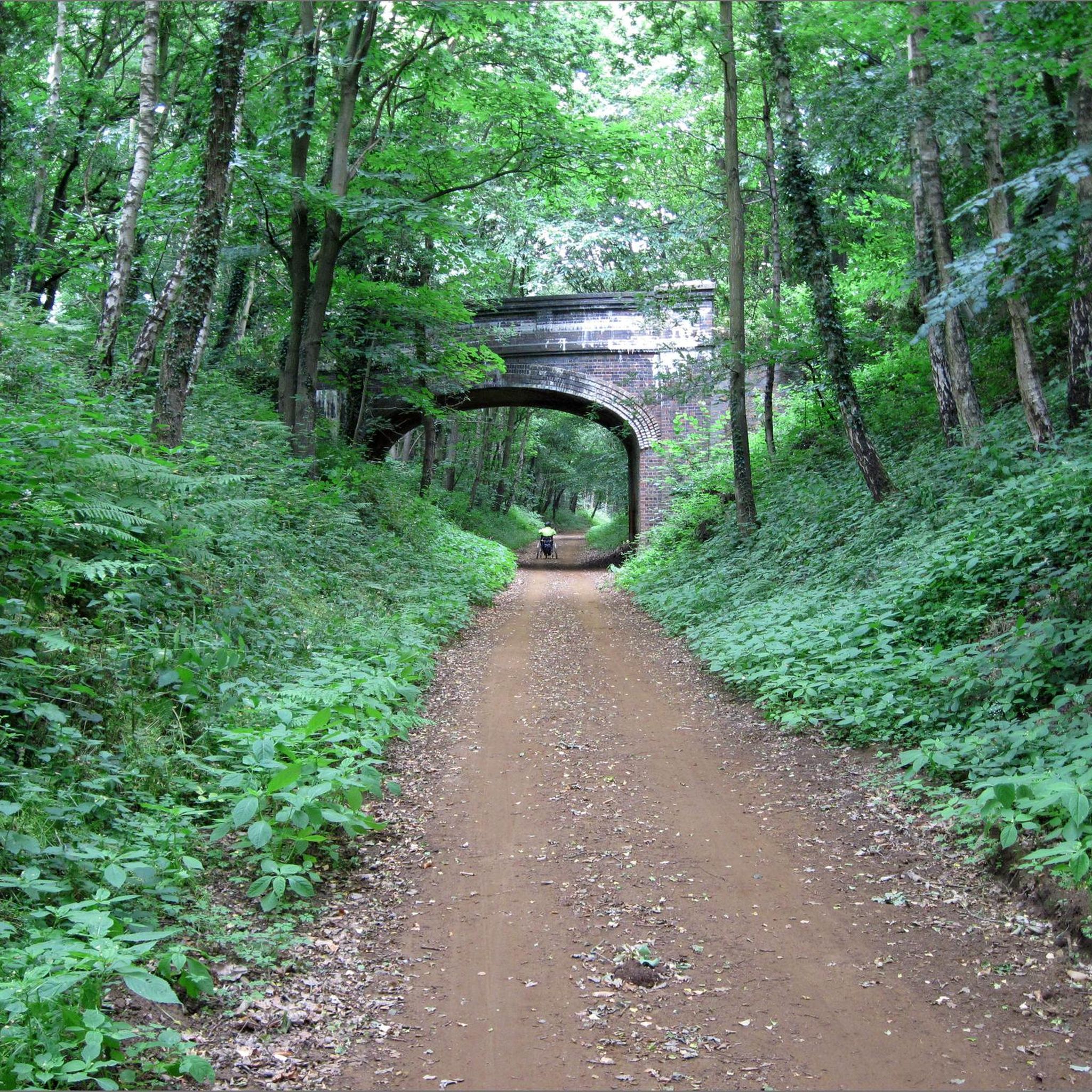
The swamp planks even on dry days is a bit hazardous … certainly on continued rain I wouldn’t go that way. I’m hoping Broadland might upgrade that area.
0
0


Take some lube,wash bottle as tiny grime in chain set. Surface smooth and could take cx , All road tyres when dry to damp
0
0

Coltishall Station is one of the narrow gauge stations on the Bure Valley Railway line. It's also an access point for the nine mile (14.5 km) Bure Valley Path.
0
0

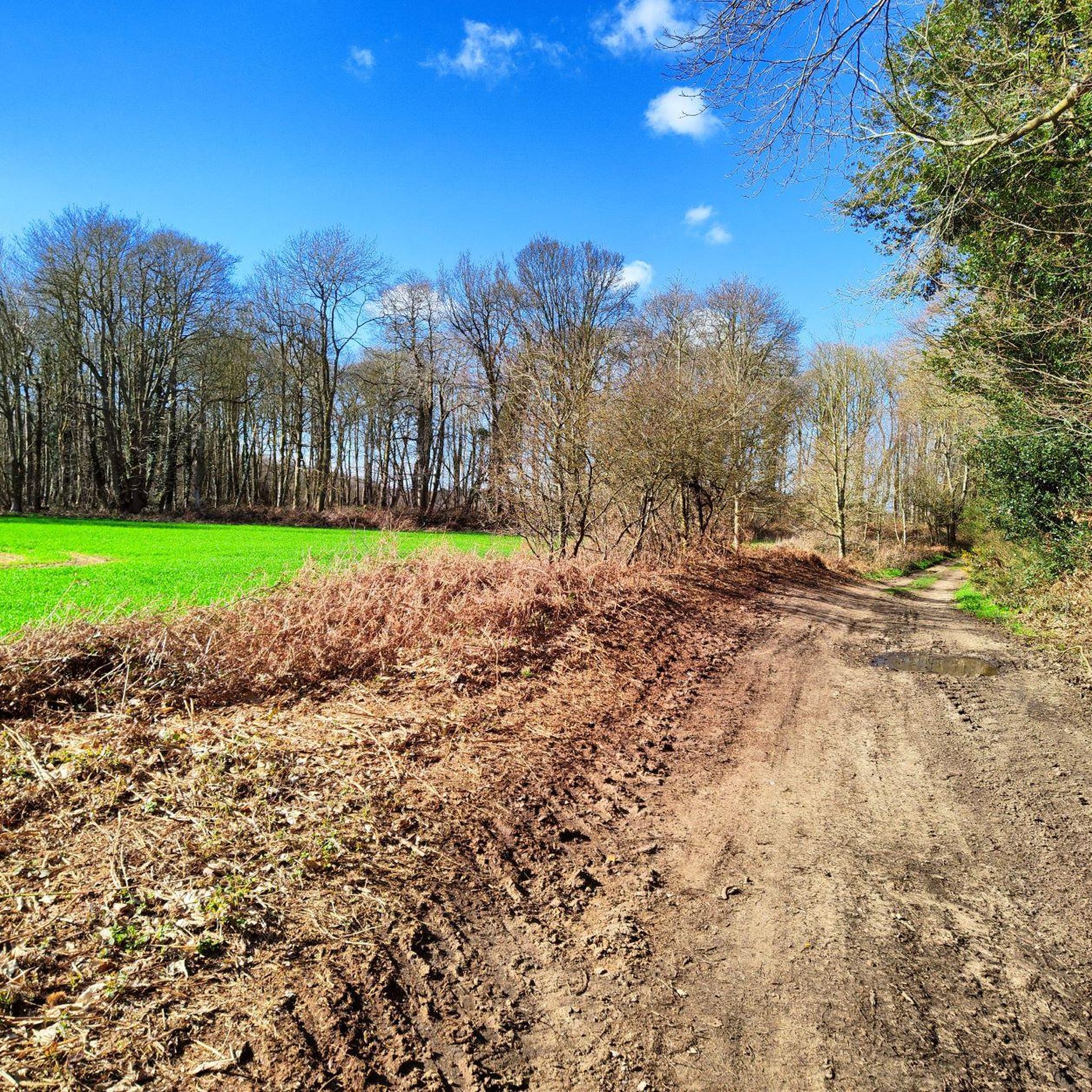
I've ridden Marriotts way many times, and it's a great route. However foolishly I didn't appreciate how muddy many parts of it get when it's been wet.
0
0
Frequently Asked Questions
What kind of terrain can I expect on mountain bike trails around Morton On The Hill?
The terrain around Morton On The Hill is largely flat, characterized by disused railway lines like Marriott's Way, picturesque riverside paths along the River Wensum, and a mix of woodlands, meadows, and agricultural land. While there are no significant elevation changes, you'll encounter varied surfaces, making a mountain bike or gravel bike suitable for navigating these paths. Some sections can be unpaved and muddy, especially after rain.
How many mountain bike trails are available in the Morton On The Hill area?
There are over 20 mountain bike trails around Morton On The Hill listed on komoot. These routes offer a range of experiences, with 12 easy trails and 12 moderate trails, ensuring options for different skill levels.
Are there any family-friendly mountain bike routes near Morton On The Hill?
Yes, the region offers several easy routes suitable for families. For example, the Marriott's Way – River Tud Bridge loop from Taverham is an easy 14.5-mile path that follows sections of the Marriott's Way, providing a largely traffic-free experience. Another great option is the Marriott's Way – Marriott's Way loop from Booton, a 12.3-mile easy trail through the Norfolk countryside.
What natural features or landmarks can I see along the mountain bike trails?
You can explore several interesting natural features and landmarks. Many routes incorporate sections of the historic Marriott's Way, a disused railway line. The area is also rich in wildlife, especially along the River Wensum Valley. Nearby, the Sparham Pools Nature Reserve is a wetland area known for diverse bird species and insect life, offering a tranquil spot for nature immersion.
What do other mountain bikers enjoy most about the trails in Morton On The Hill?
The mountain bike trails around Morton On The Hill are highly rated by the komoot community, with an average score of 4.3 stars from over 30 reviews. Mountain bikers often praise the peaceful Norfolk countryside, the varied surfaces suitable for off-road cycling, and the opportunities for nature exploration along routes like the Marriott's Way.
Are there any circular mountain bike routes available?
Yes, many of the routes around Morton On The Hill are designed as loops. Examples include the River Tud Bridge – Elm Hill loop from Sparham, a moderate 44-mile route, and the easier Marriott's Way – River Tud Bridge loop from Taverham. These circular routes allow you to start and finish at the same point, making planning easier.
Can I bring my dog on the mountain bike trails?
Many of the public bridleways and cycle paths in the Norfolk countryside, including sections of Marriott's Way and Wensum Way, are dog-friendly. However, it's always best to keep dogs under control, especially around livestock or in nature reserves, and to check specific trail regulations if available. Be mindful of other users and wildlife.
What is the best time of year for mountain biking in Morton On The Hill?
The gentle Norfolk countryside is enjoyable for mountain biking throughout much of the year. Spring and autumn offer pleasant temperatures and beautiful scenery. While some paths can get muddy after rain, especially in winter, routes like the Bure Valley Path are known for their well-drained surfaces, making them suitable in all weathers. Always check local weather conditions before heading out.
Are there options for parking or public transport access to the trails?
While specific parking details for every trailhead are not provided here, many routes that utilize paths like Marriott's Way often have parking available at various access points in nearby villages. For public transport, some routes may be accessible via bus services connecting to villages along the trails. Planning your route on komoot can help identify convenient starting points.
Are there any pubs or cafes along the mountain bike routes for a stop?
The villages and towns along the various routes in the Norfolk countryside often feature local amenities, including pubs and cafes. While specific establishments are not listed here, exploring routes that pass through places like Taverham, Drayton, or other charming villages will likely offer opportunities for refreshments and a break during your ride.
What is the longest mountain bike route available in the area?
The longest mountain bike route highlighted is the River Tud Bridge – Elm Hill loop from Sparham, which is a moderate 44.0-mile (70.8 km) trail. This route offers an extensive exploration of the wider countryside around Morton On The Hill.
What is the elevation gain like on these trails?
Given the largely flat nature of the Norfolk countryside, the elevation gain on mountain bike trails around Morton On The Hill is generally modest. For example, the longest route, River Tud Bridge – Elm Hill loop from Sparham, has an elevation gain of approximately 338 meters over its 44 miles, indicating a gentle gradient rather than steep climbs.
Most popular routes around Morton On The Hill
Most popular attractions around Morton On The Hill

Get inspired with the komoot mobile app


Explore more
Browse the best MTB trails in other regions.
