The best walks and hikes around Welschneudorf
4.4
(152)
510
hikers
31
hikes
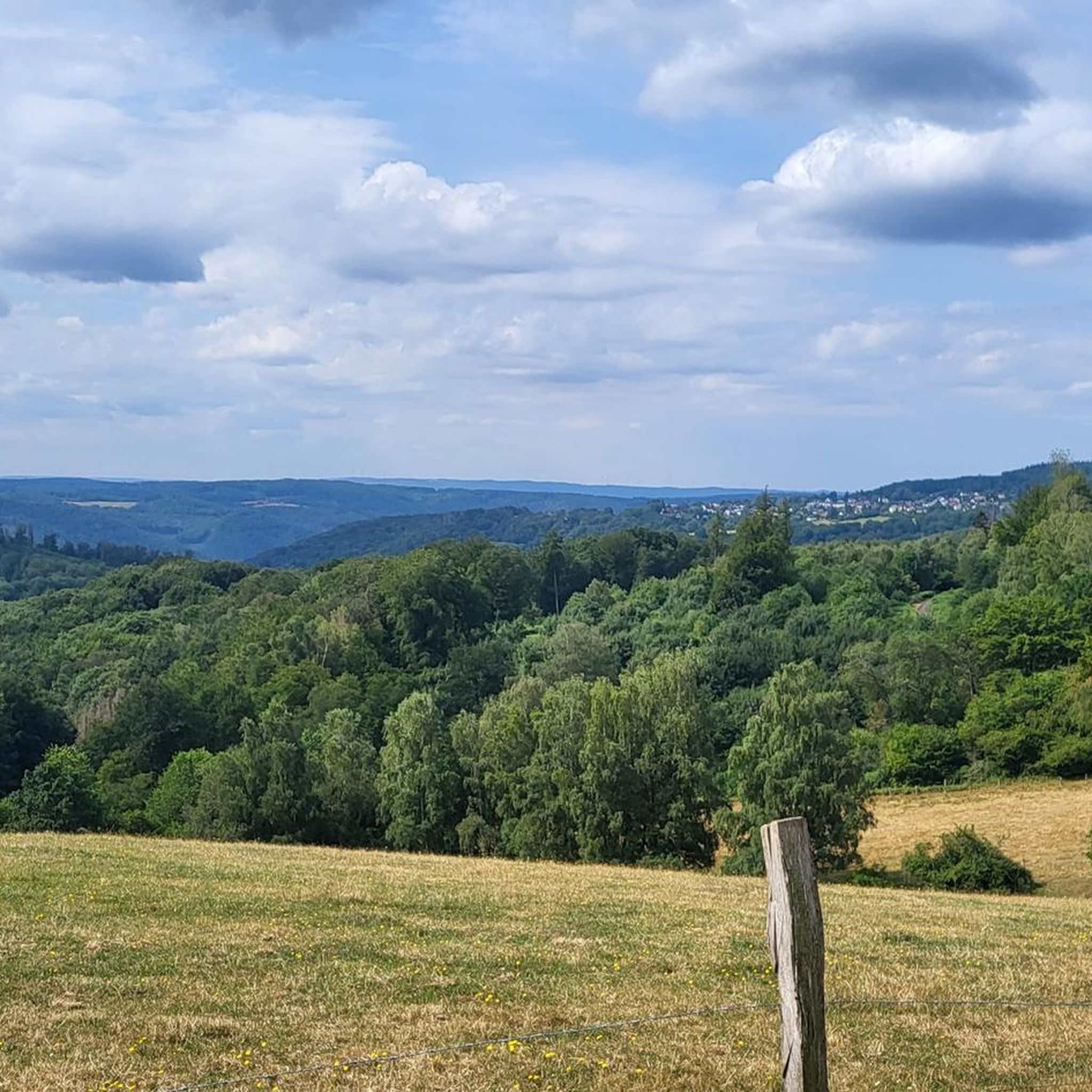
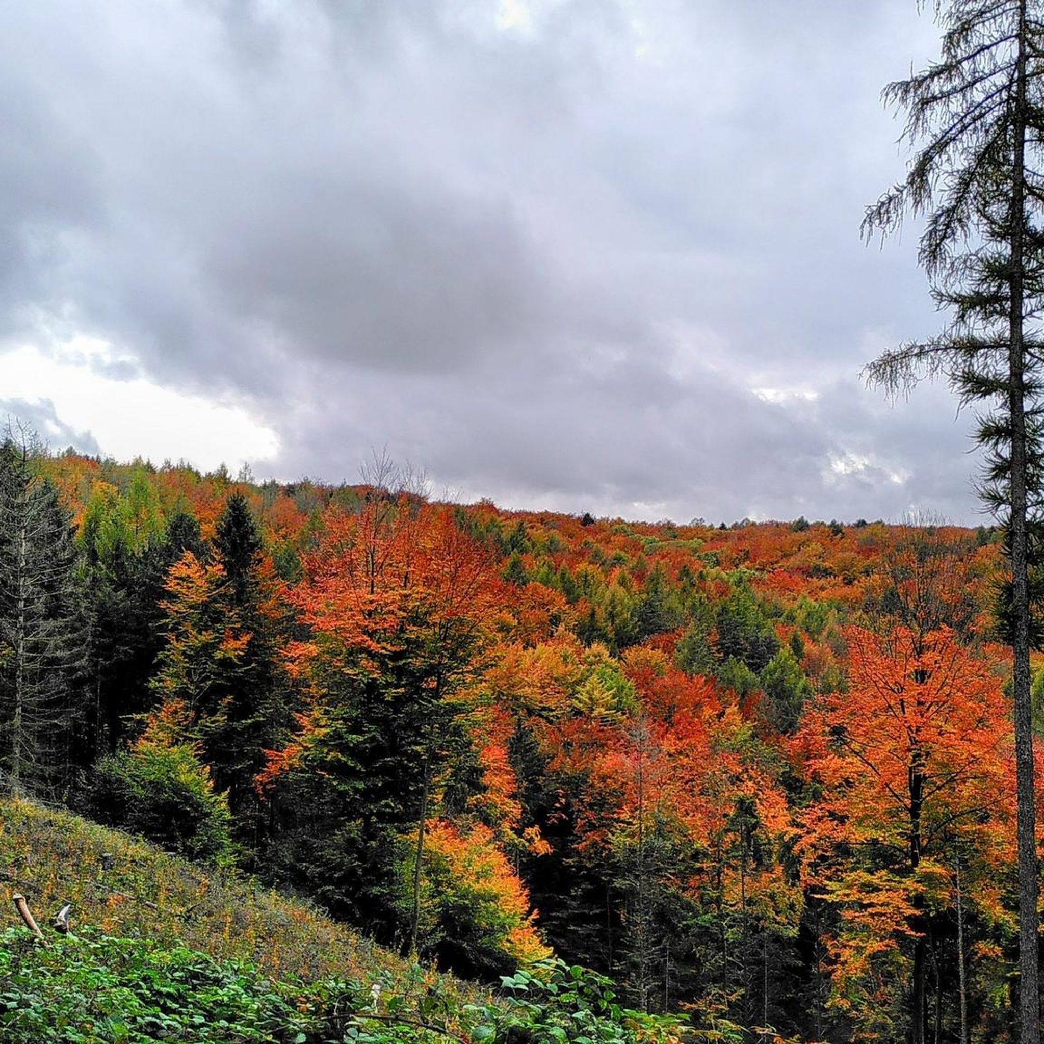
Hiking around Welschneudorf offers diverse landscapes within the Lower Westerwald region of Rhineland-Palatinate, situated in the Nassau Nature Park. The area is characterized by the Welschneudorf Plateau, featuring a wooded mosaic appearance. Deep, winding stream valleys like the Emsbach and Gelbach border the plateau, providing varied terrain. The Dielkopf, a basalt cone rising to 478 meters, offers expansive views over the southern Lahn-Westerwald.
Best hiking trails around Welschneudorf
- The most popular hiking route is Weißer Stein Rock Formation – Einsiedler-Kopf…
Last updated: October 17, 2026
4.7
(27)
39
hikers
Moderate hike. Good fitness required. Easily-accessible paths. Suitable for all skill levels.
4.4
(10)
47
hikers
21.1km
06:02
480m
480m
Hard hike. Very good fitness required. Easily-accessible paths. Suitable for all skill levels.

4.6
(12)
45
hikers
5.49km
01:30
90m
90m
Easy hike. Great for any fitness level. Easily-accessible paths. Suitable for all skill levels.
4.3
(6)
38
hikers
Easy hike. Great for any fitness level. Easily-accessible paths. Suitable for all skill levels.
4.8
(14)
28
hikers
Moderate hike. Good fitness required. Easily-accessible paths. Suitable for all skill levels.
Get access to more routes and recommendations from other explorers.
Already have an account?
Our route recommendations are based on thousands of hikes, rides, and runs completed by other people on komoot.
Start today with a free account
Your next adventure awaits.
Tips from the Community

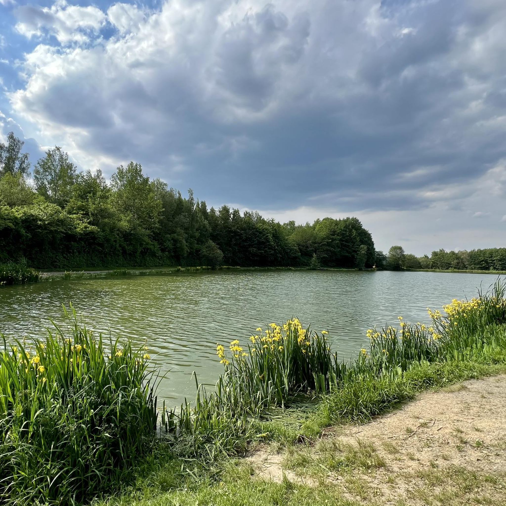
Beautiful resting place and view. Just a few meters further, you'll also find the first Arzbacher Limobaum. If you find Pippi Longstocking, you'll also find refreshment.
0
0

Farm, directly next to the sports field
0
0

One of the former defensive towers above Dausenau.
1
0
A beautifully situated forest playground with good parking facilities.
0
0

The former Electoral Hunting Lodge in Welschneudorf is today a dual complex consisting of a church and the village community hall (Elector's Hall). Originally built as a hunting lodge for the Electors of Trier, the building later served as a village school and teacher's residence before acquiring its current dual function. Two coats of arms belonging to Johann Phillip von Walderdorff still adorn the east and west sides of the building.
0
0
Scan the QR code and you can listen to the recording, even if you're not hiking the Köhlerweg trail. 😉
0
0
The term Barbaricum, in connection with Welschneudorf, refers to the area of the present-day Westerwald region, which during Roman times lay outside the borders of the Roman Empire (the Limes) and was inhabited by Germanic tribes. The Upper Germanic-Raetian Limes, which marked the border, ran in an arc around the summit of the Weißen Stein (White Stone) in the immediate vicinity of the village.
0
0
According to an old legend, three charcoal burners perished in an accident at this spot. Numerous charcoal kiln sites can still be seen in the area today. Here you can learn a great deal about the lives of the charcoal burners and the work involved in making charcoal.
0
0
Frequently Asked Questions
How many hiking trails are available around Welschneudorf?
There are over 30 hiking routes around Welschneudorf, offering a wide range of options for all skill levels. You'll find everything from easy strolls to challenging long-distance treks through the diverse landscapes of the Lower Westerwald.
What kind of terrain can I expect on hikes in Welschneudorf?
The terrain around Welschneudorf is quite varied. You'll encounter the gently undulating Welschneudorf Plateau, characterized by its wooded mosaic appearance. The region is also defined by deep, winding stream valleys like the Emsbach and Gelbach, which can offer more challenging sections. Basalt hills, such as the Dielkopf, provide elevated viewpoints.
Are there any easy, family-friendly hiking options in Welschneudorf?
Yes, Welschneudorf offers several easy routes suitable for families. For instance, the Hiking loop from Welschneudorf is a pleasant 3.2-mile (5.2 km) trail through local forests, typically completed in about 1 hour 26 minutes. Another great option is the Welschneudorf Forest Playground – Viewpoint loop from Welschneudorf, which is 3.7 miles (5.9 km) and takes around 1 hour 35 minutes.
Are there any circular hiking routes available?
Many of the trails around Welschneudorf are designed as circular routes, allowing you to start and end in the same location. Examples include the popular Weißer Stein Rock Formation – Einsiedler-Kopf loop from Welschneudorf and the more challenging Ratzenturm with stream passage – Ackert Tower, Dausenau loop from Welschneudorf.
What historical landmarks can be explored while hiking in Welschneudorf?
The region is rich in history. You can find traces of the Roman Limes, a UNESCO World Heritage site, leading from Arzbach to Weißen Stein. Evidence of former ore mining, including adits and the ruins of a smelter near Hübingen, can also be discovered. The Dielkopf, a prominent basalt cone, also features remnants of an Iron Age circular rampart.
Are there any viewpoints with expansive views in the area?
Absolutely. The Dielkopf, a basalt cone rising to 478 meters, offers expansive views over the southern Lahn-Westerwald, making it a rewarding destination. You can also find viewpoints along routes like the Welschneudorf Forest Playground – Viewpoint loop from Welschneudorf. Additionally, the Köppel Observation Tower is a notable viewpoint nearby.
What do other hikers enjoy most about Welschneudorf?
The hiking routes in Welschneudorf are highly rated by the komoot community, with an average score of 4.5 stars from over 120 reviews. Hikers often praise the diverse landscapes, the well-maintained paths, and the combination of natural beauty with historical points of interest.
Are there any long-distance hiking trails that pass through Welschneudorf?
Yes, Welschneudorf is connected to the broader network of hiking paths. The European long-distance hiking trail E1, which stretches from the North Cape to Sicily, passes through the village, connecting Köppel near Montabaur with Nassau on the Lahn. The Lahn-Westerwald loop also offers extensive trekking options.
Are there any specific attractions or highlights near the trails?
Beyond the trails themselves, you can explore several highlights. The Flürchen Conservation Area offers natural beauty. For historical interest, the Germanenblick Viewpoint – Stefansturm (Limes Tower) loop from Welschneudorf takes you past a Limes Tower. Other nearby points of interest include the Mooshütte Pavilion with views over Bad Ems.
What is the best time of year for hiking in Welschneudorf?
The diverse landscapes of Welschneudorf are enjoyable throughout the year. Spring brings blooming meadows and fresh greenery, while autumn offers vibrant fall foliage. Summer is ideal for longer hikes, and even winter can be beautiful for crisp, clear walks, especially on the wooded plateaus.
Are there any challenging hikes for experienced trekkers?
For experienced hikers seeking a challenge, the Ratzenturm with stream passage – Ackert Tower, Dausenau loop from Welschneudorf is a difficult 13.1-mile (21.1 km) path. This route features significant elevation changes and historical towers, requiring about 6 hours 2 minutes to complete.
Most popular routes around Welschneudorf
Most popular attractions around Welschneudorf

Get inspired with the komoot mobile app


Explore more
Browse the best Hikes in other regions.
