The best walks and hikes around Bezirk Bruck an der Leitha
4.6
(4750)
29,751
hikers
588
hikes
Hiking around Bezirk Bruck an der Leitha offers diverse landscapes in Lower Austria, situated between the Danube-Auen National Park and the Leithagebirge mountains. The region features riparian environments along the Danube and Leitha rivers, low mountain ranges with elevated viewpoints, and scenic vineyards. This area provides a variety of trails suitable for different fitness levels, from easy riverside walks to more varied terrain in the hills.
Best hiking trails around Bezirk Bruck an der Leitha
- The most popular hiking route…
Last updated: October 16, 2026
5.0
(20)
155
hikers
3.16km
00:51
40m
40m
Easy hike. Great for any fitness level. Easily-accessible paths. Suitable for all skill levels.
4.5
(26)
122
hikers
5.75km
01:46
190m
190m
Moderate hike. Great for any fitness level. Mostly accessible paths. Sure-footedness required.

4.4
(17)
65
hikers
6.30km
01:43
90m
90m
Moderate hike. Great for any fitness level. Mostly accessible paths. Sure-footedness required.
4.0
(4)
25
hikers
3.02km
00:48
30m
30m
Moderate hike. Great for any fitness level. Mostly accessible paths. Sure-footedness required.
6
hikers
6.25km
01:36
10m
40m
Easy hike. Great for any fitness level. Easily-accessible paths. Suitable for all skill levels.
5.0
(6)
18
hikers
4.37km
01:17
130m
130m
Moderate hike. Great for any fitness level. Mostly accessible paths. Sure-footedness required.
5.0
(1)
1
hikers
3.33km
00:52
30m
10m
Easy hike. Great for any fitness level. Easily-accessible paths. Suitable for all skill levels.
3
hikers
3.54km
00:54
0m
10m
Easy hike. Great for any fitness level. Easily-accessible paths. Suitable for all skill levels.
4.8
(125)
418
hikers
Moderate hike. Good fitness required. Easily-accessible paths. Suitable for all skill levels.
4.7
(110)
369
hikers
Moderate hike. Good fitness required. Easily-accessible paths. Suitable for all skill levels.
Get access to more routes and recommendations from other explorers.
Already have an account?
Our route recommendations are based on thousands of hikes, rides, and runs completed by other people on komoot.
Start today with a free account
Your next adventure awaits.
Popular around Bezirk Bruck an der Leitha
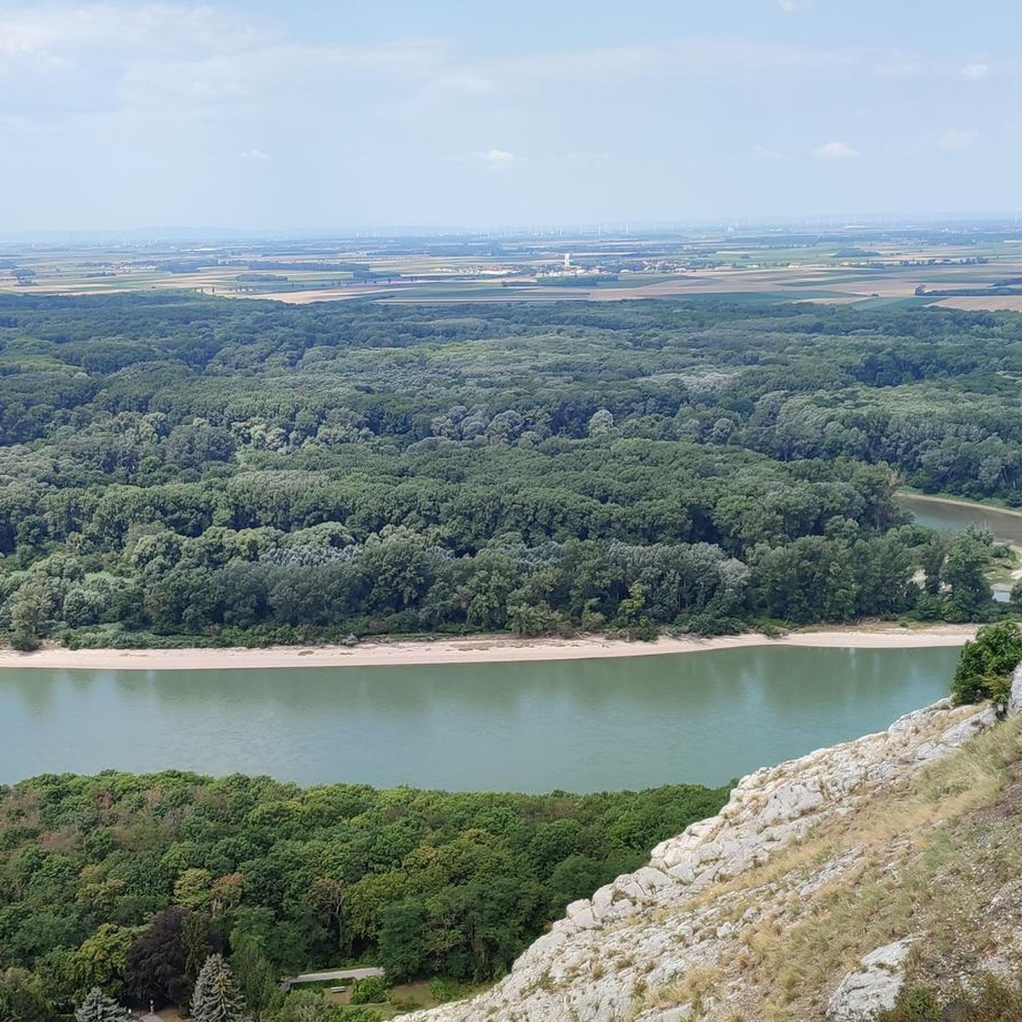
Hiking around Hainburg an der Donau
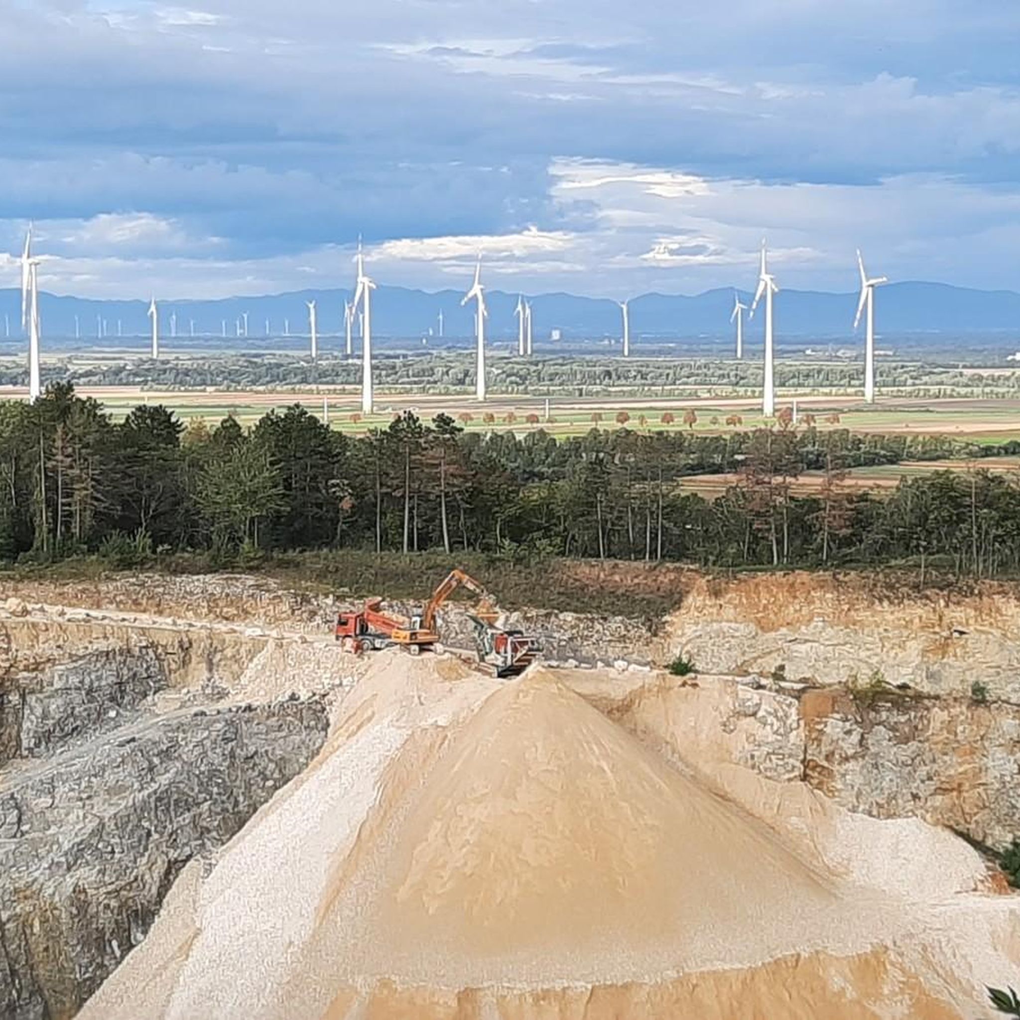
Hiking around Mannersdorf am Leithagebirge
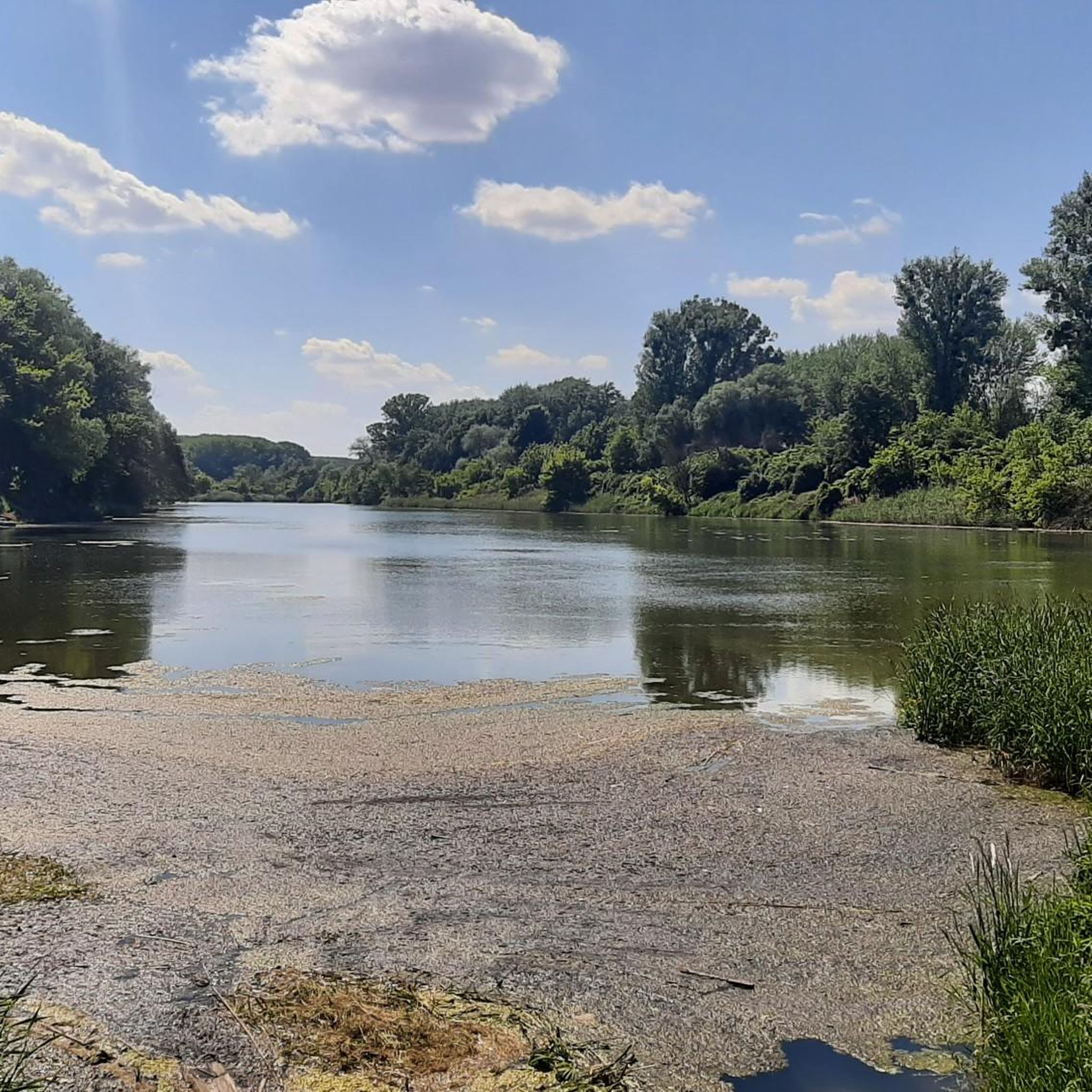
Hiking around Haslau-Maria Ellend
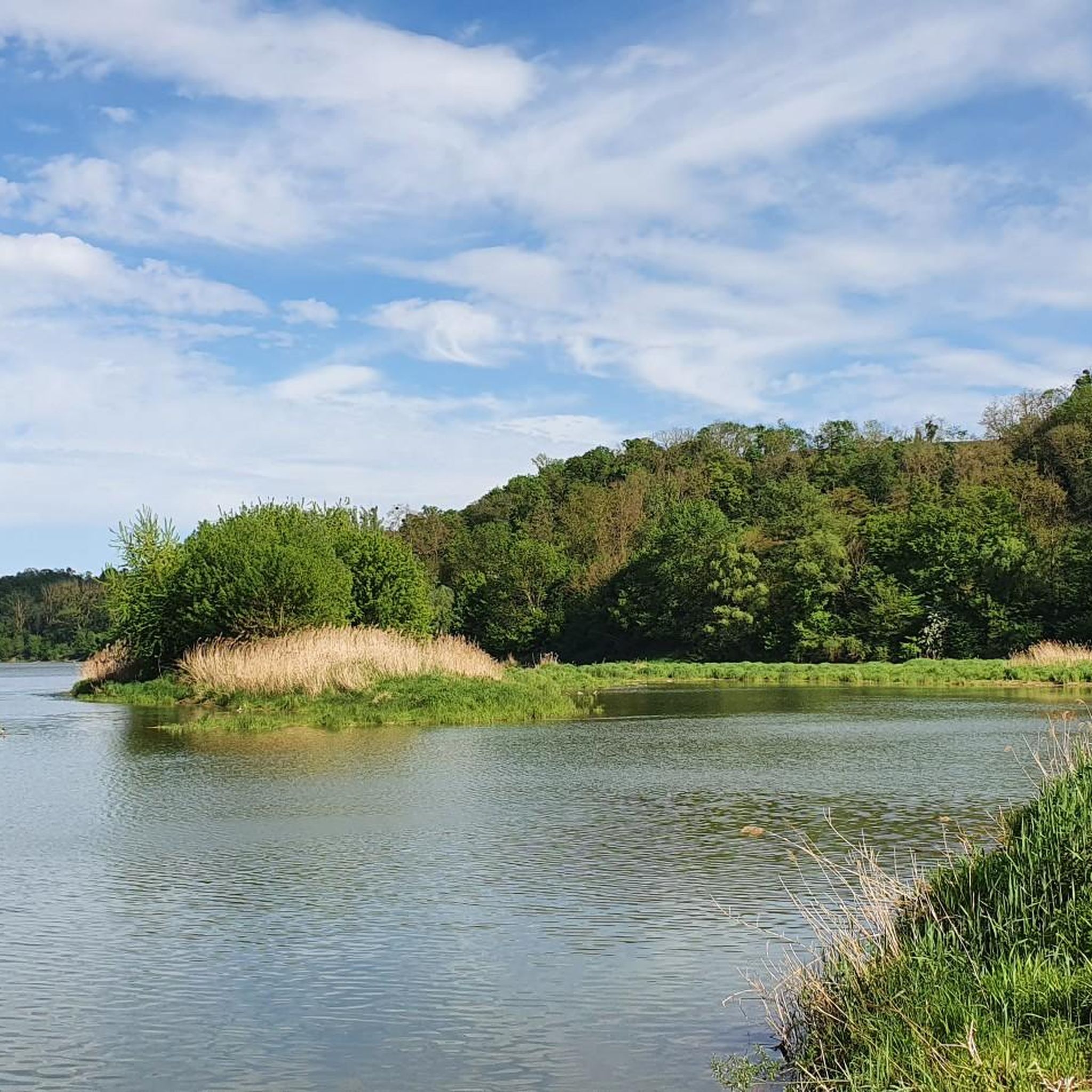
Hiking around Scharndorf
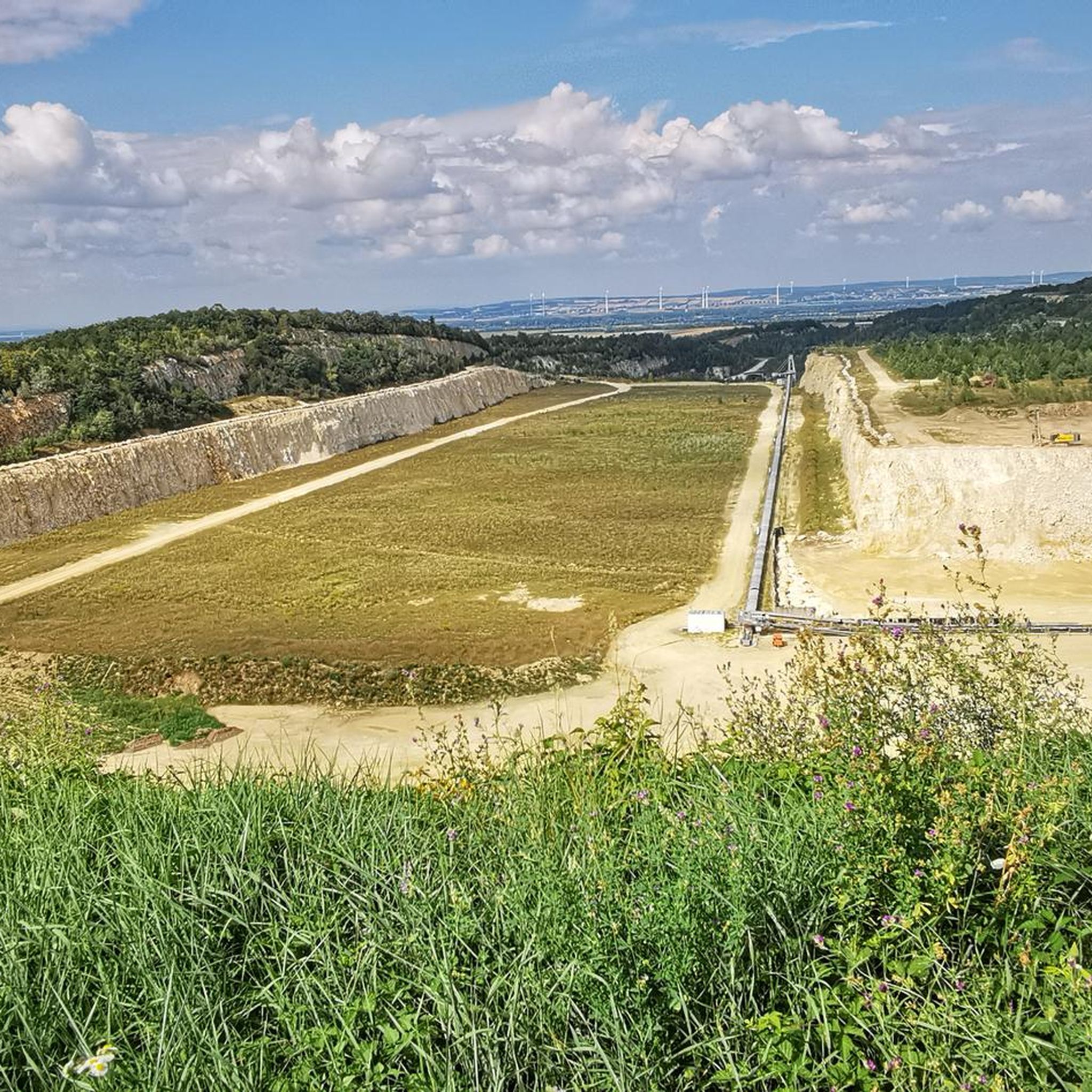
Hiking in Naturpark Wüste Mannersdorf
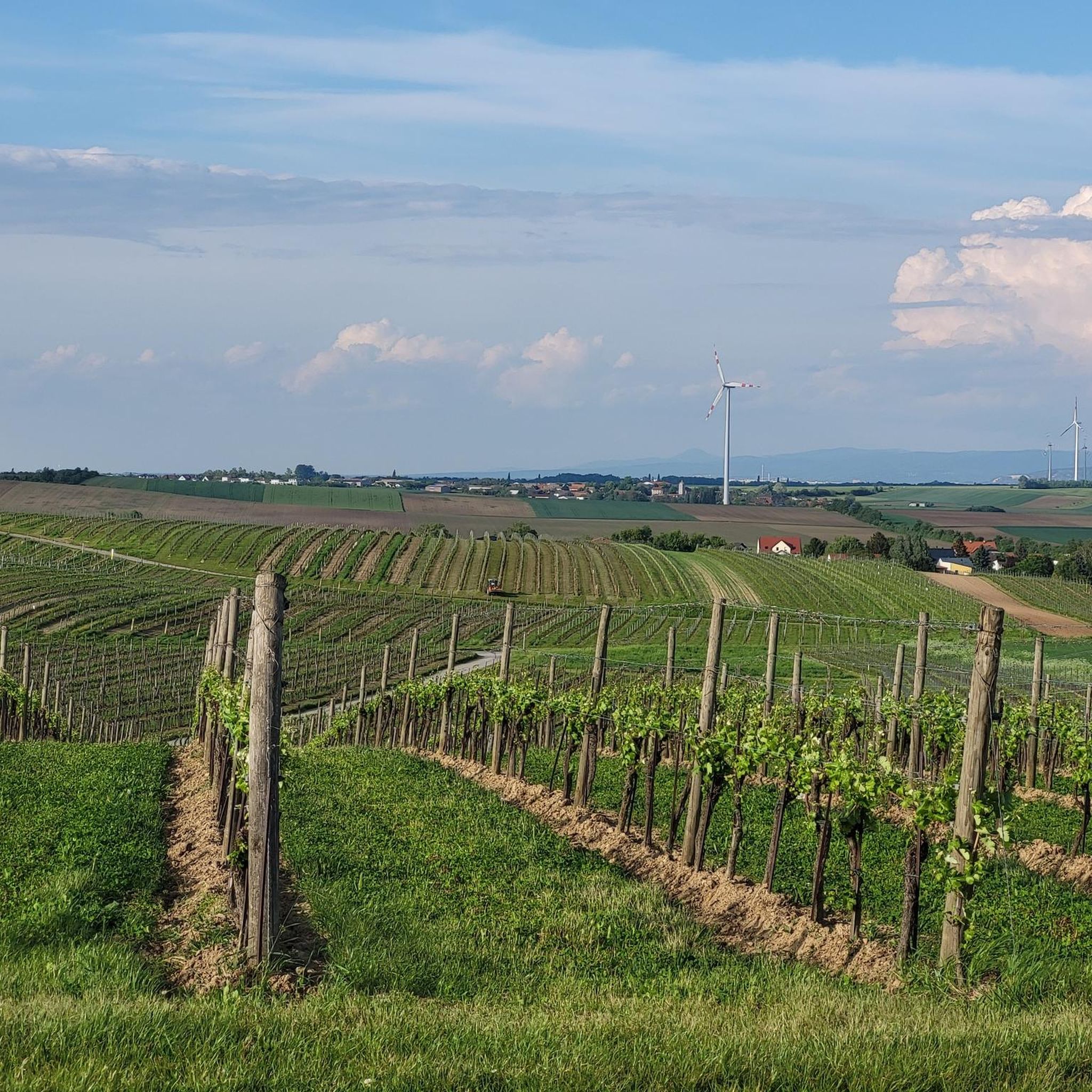
Hiking around Höflein
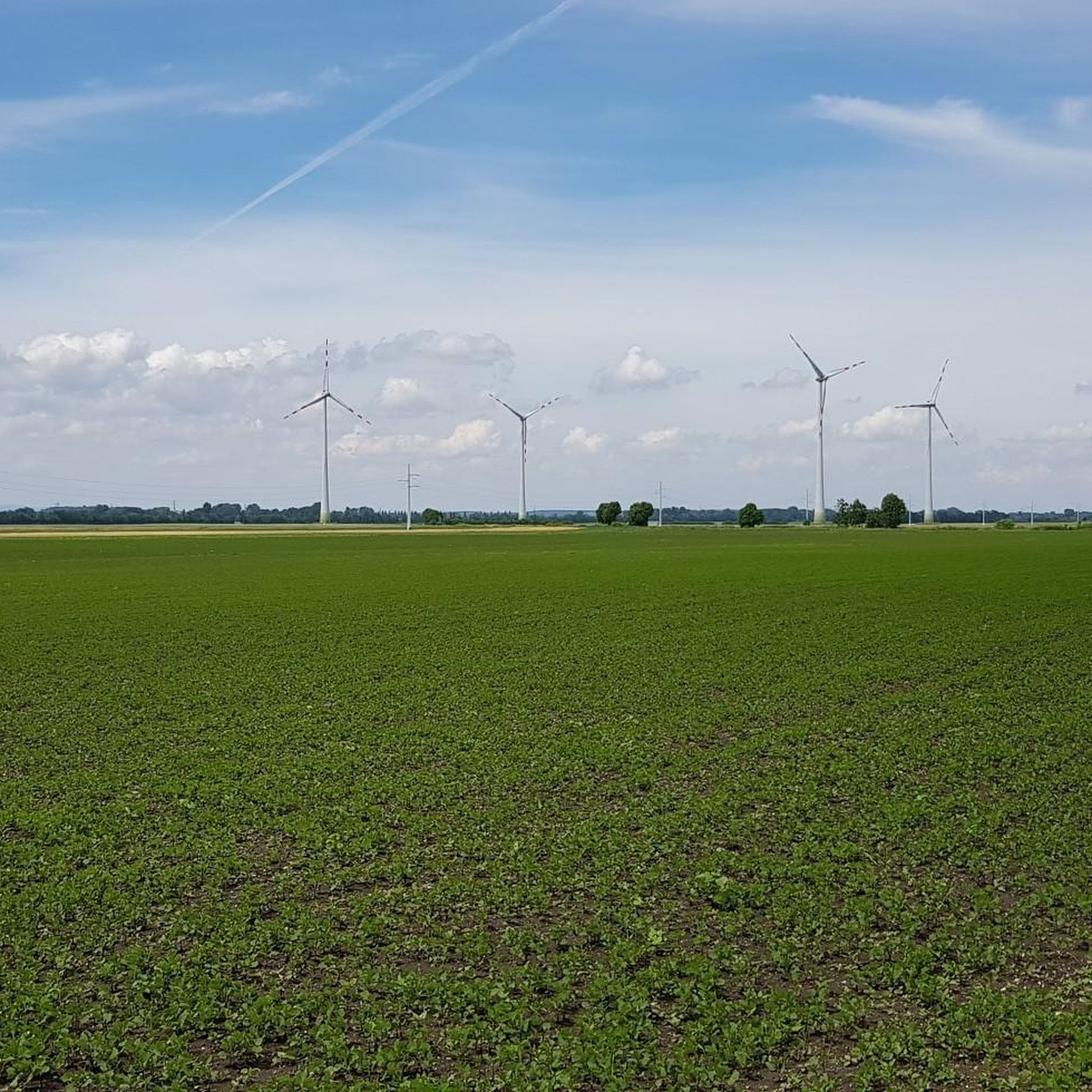
Hiking around Hof am Leithaberge
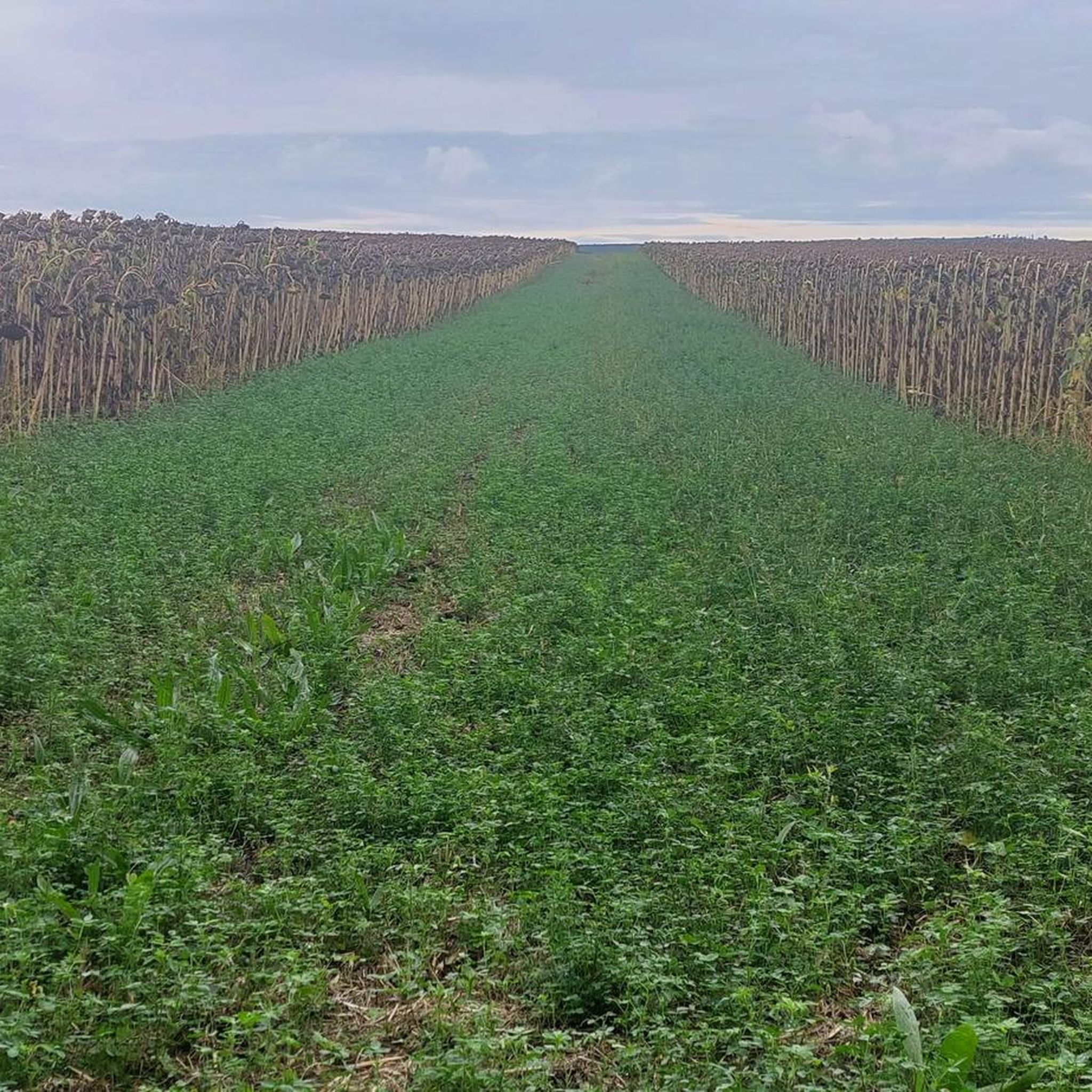
Hiking around Au am Leithaberge
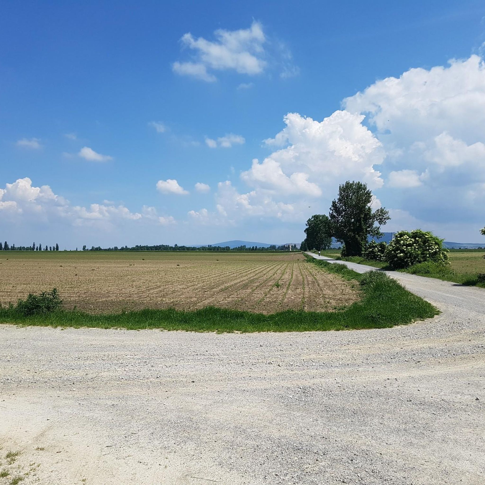
Hiking around Petronell-Carnuntum
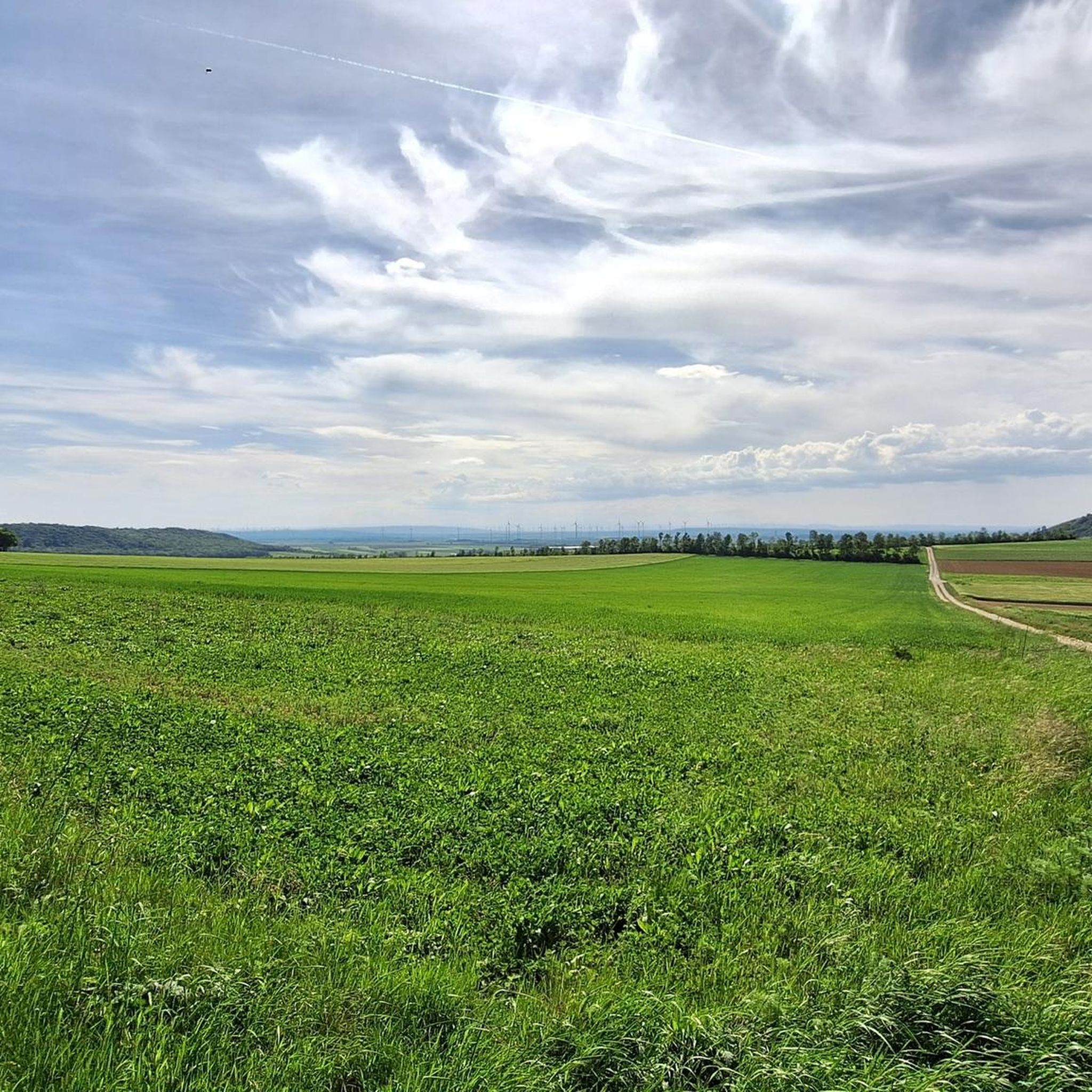
Hiking around Hundsheim
Other adventures around Bezirk Bruck an der Leitha


Tips from the Community

A particularly beautiful section along the Danube in the Donau-Auen National Park, where the river and the largely untouched floodplain landscape dominate the scenery. Between dense riparian forest and open bank areas, there are always beautiful views of the Danube and the opposite bank. The calm atmosphere and the interplay of water, gravel areas, and lush vegetation make this section an attractive part of the hike between Petronell-Carnuntum and Bad Deutsch-Altenburg.
0
0
The riverside path in the Donau-Auen National Park leads directly along the Danube through a largely natural floodplain landscape. Between mighty old trees, dense riparian forests, and open bank sections, beautiful views of the river and the opposite banks repeatedly open up. The Danube, with its changing water levels, shapes a diverse landscape here that offers habitat to numerous bird species and other animals. The quiet atmosphere, away from larger settlements, is particularly charming and makes this section a beautiful part of the hike between Petronell-Carnuntum and Bad Deutsch-Altenburg.
0
0
Der Uferweg im Nationalpark Donau-Auen führt unmittelbar entlang der Donau durch eine der letzten großen naturnahen Flusslandschaften Mitteleuropas. Zwischen mächtigen Bäumen, dichter Ufervegetation und immer wieder freien Blicken auf den Fluss lässt sich die besondere Atmosphäre der Aulandschaft genießen. Die Donau prägt hier mit ihren wechselnden Wasserständen und regelmäßigen Überschwemmungen das Ökosystem und schafft wertvolle Lebensräume für zahlreiche Tier- und Pflanzenarten. Ein besonders schöner und ruhiger Wanderabschnitt abseits des Trubels, auf dem man die Natur unmittelbar erleben kann.
1
0
Directly on the banks of the Danube, the landscape shows its calm and original side. The wide river, the bank vegetation, and the surrounding floodplain forests form a beautiful contrast to the fields and historical sights around Carnuntum. An idyllic place to pause for a moment, let your gaze wander over the water, and enjoy the special atmosphere of the Danube landscape.
1
0
This distinctive tree on the path to the Danube stands out with a small religious shrine and the attached flood markings. The markings commemorate past flood events and vividly show how high the water has risen here at times. An inconspicuous but interesting place where the region's religious traditions connect with the history of the Danube and its floods.
2
0
Von Petronell-Carnuntum führt der Weg hinaus aus dem historischen Ortsgebiet in Richtung Donau. Die Landschaft wird zunehmend offener und bietet schöne Ausblicke über die Felder und die weite Ebene entlang des Flusses. Nach den zahlreichen römischen Sehenswürdigkeiten von Carnuntum ist dieser Abschnitt ein angenehmer Wechsel zu mehr Natur und Ruhe. Besonders reizvoll ist der Übergang von der geschichtsträchtigen Römerstadt zur weitläufigen Donaulandschaft.
2
0
From here, there is a beautiful view of the imposing Petronell Castle, also known as Traun Castle, which is one of the most important Renaissance and Baroque castles in Lower Austria. The extensive, originally medieval complex was redesigned into a representative castle in the 17th century and still shapes the townscape of Petronell-Carnuntum today. Particularly impressive are the mighty building wings and the closed four-wing complex with its distinctive corner towers. A beautiful sight and another historical highlight apart from the Roman sights of Carnuntum.
2
0

The desert, in which the St. Anna monastery blends wonderfully into the landscape, is a real gem for nature lovers and sports enthusiasts. From an easily accessible parking lot, an easy hike leads directly to the monastery, making this excursion perfectly suitable for all age groups and fitness levels. In addition to the historical atmosphere, a lovingly designed playground for the little visitors also awaits you here. For all those who want to relax a bit, loungers are available to enjoy the peace and the view. Animals such as birds and small mammals further enrich the nature experience and make the stay particularly lively. A highlight is the small labyrinth that you can walk through - a fun challenge for young and old. Whether hiking, jogging, cycling, or simply taking it easy, the surroundings of the St. Anna monastery offer the perfect setting for all sports and activities. A visit is definitely worthwhile.
7
0
Frequently Asked Questions
How many hiking trails are available in Bezirk Bruck an der Leitha?
There are over 600 hiking routes in Bezirk Bruck an der Leitha, catering to various skill levels. This includes more than 350 easy routes, over 250 moderate trails, and nearly 20 more challenging options.
What is the best time of year for hiking in Bezirk Bruck an der Leitha?
The most enjoyable seasons for hiking in Bezirk Bruck an der Leitha are spring and autumn. During these times, the weather is mild, and the landscapes are particularly vibrant, with blooming flowers in spring and colorful foliage in autumn.
Are there any easy, family-friendly hikes in the region?
Yes, the Donau-Auen National Park offers many easy, family-friendly paths. A great option is the Maria Ellend to Haslau - National Park Donau-Auen route, which is an easy 3.3 km trail through the riparian landscape.
Can I find circular hiking routes in Bezirk Bruck an der Leitha?
Absolutely. Many trails in the region are designed as circular routes. For example, the Danube Circular Hiking Trail - Danube-Auen National Park is an easy 3.2 km loop that allows you to explore the riverside environment.
Are there hiking trails that offer scenic viewpoints?
Yes, the Leithagebirge mountains and Hundsheimer Berge provide excellent viewpoints. The Kaiser-Franz-Josef-Warte, located on the highest point of the eastern Leithagebirge, offers a 360-degree panoramic view. You can also find great views from Hundsheimer Berg and Braunsberg.
What kind of terrain can I expect on hikes in this region?
The terrain in Bezirk Bruck an der Leitha is quite varied. You'll find flat, easy paths along the Danube and Leitha rivers within the Donau-Auen National Park, such as the Haslau an der Donau to Regelsbrunn trail. In contrast, the Leithagebirge offers more varied, wooded paths with moderate elevation changes, like the St. Anna Monastery in the Wüste – Emperor Franz Josef Tower loop.
Are there any historical or cultural landmarks to see while hiking?
The region is rich in history. You can explore the Roman City of Carnuntum near Petronell-Carnuntum, home to the impressive Heidentor (Pagan Gate). The historic town of Hainburg an der Donau features one of Eastern Austria's best-preserved fortress systems, the Heimenburg. For a more relaxed cultural experience, consider a stroll through the Harrachpark at Schloss Prugg in Bruck an der Leitha.
What do other hikers enjoy most about hiking in Bezirk Bruck an der Leitha?
The area is highly rated by the komoot community, with an average score of 4.5 stars from over 1300 reviews. Hikers often praise the diverse landscapes, from the tranquil riverside paths of the Donau-Auen National Park to the scenic vineyard trails and the more challenging routes in the Leithagebirge.
Are there any trails that go through vineyards?
Yes, the Carnuntum area is known for its vineyards, and you can find scenic routes that wind through them. Hiking through these vineyards offers beautiful views and the chance to visit local wineries. A popular route leads to the "Römerstein" vineyard, which provides breathtaking vistas.
Can I find trails with huts or places to rest along the way?
Yes, some routes in the region feature huts or rest stops. For instance, the Emperor Franz Josef Tower – St. Anna Monastery in the Wüste loop offers opportunities to pause. You can also find specific huts like the Hochfilzer Hut and The Fisherman's Cabin in the area.
Are there any moderate trails for hikers looking for a bit more challenge?
Certainly. For a moderate challenge, consider the Celtic Path – Donau-Auen National Park, a 5.8 km route with varied terrain. Another good option is the Hutweideweg – Nationalpark Donau-Auen, a 6.3 km trail through the floodplains, offering a slightly longer moderate experience.
Are there any specific trails that highlight the Danube-Auen National Park's unique environment?
The Donau-Auen National Park is a central feature of the region. The Bee-eater themed trail Haslau – Donau-Auen National Park is a great way to experience the park's unique riparian environment and observe its wildlife. Another excellent choice is Petroneller Hiking Trail – Danube-Auen National Park.
Most popular routes around Bezirk Bruck an der Leitha
Most popular attractions around Bezirk Bruck an der Leitha

Get inspired with the komoot mobile app


Didn’t find what you were looking for?
Check out more Hikes throughout Bezirk Bruck an der Leitha below and find the perfect route in your destination.
Explore more
Browse the best Hikes in other regions.
