The best cycling routes around Horstead With Stanninghall
4.5
(380)
3,655
riders
277
rides
Touring cycling around Horstead With Stanninghall features a landscape characterized by flat river valleys, open rural lanes, and proximity to the Norfolk Broads. The terrain generally presents minimal elevation changes, making it suitable for a range of cycling abilities. Routes often follow waterways and pass through agricultural areas, with some extending towards the nearby coast.
Best touring cycling routes around Horstead With Stanninghall
- The most popular touring cycling route is Rebellion Way and Bure Valley Path Loop, an easy…
Last updated: July 2, 2026
4.5
(2)
7
riders
28.3km
01:54
100m
100m
Easy bike ride. Great for any fitness level. Mostly paved surfaces. Suitable for all skill levels.
5.0
(1)
1
riders
60.7km
04:01
220m
220m
Moderate bike ride. Good fitness required. Mostly paved surfaces. Suitable for all skill levels.

Sign up for free
5.0
(1)
4
riders
99.4km
06:02
290m
290m
Hard bike ride. Very good fitness required. Mostly paved surfaces. Suitable for all skill levels.
2
riders
83.3km
04:49
250m
250m
Moderate bike ride. Good fitness required. Mostly paved surfaces. Suitable for all skill levels.
4.5
(4)
54
riders
Moderate bike ride. Good fitness required. Mostly paved surfaces. Suitable for all skill levels.
Get access to more routes and recommendations from other explorers.
Sign up for free
Already have an account?
Our route recommendations are based on thousands of hikes, rides, and runs completed by other people on komoot.
Start today with a free account
Your next adventure awaits.
Login or Signup
Popular around Horstead With Stanninghall
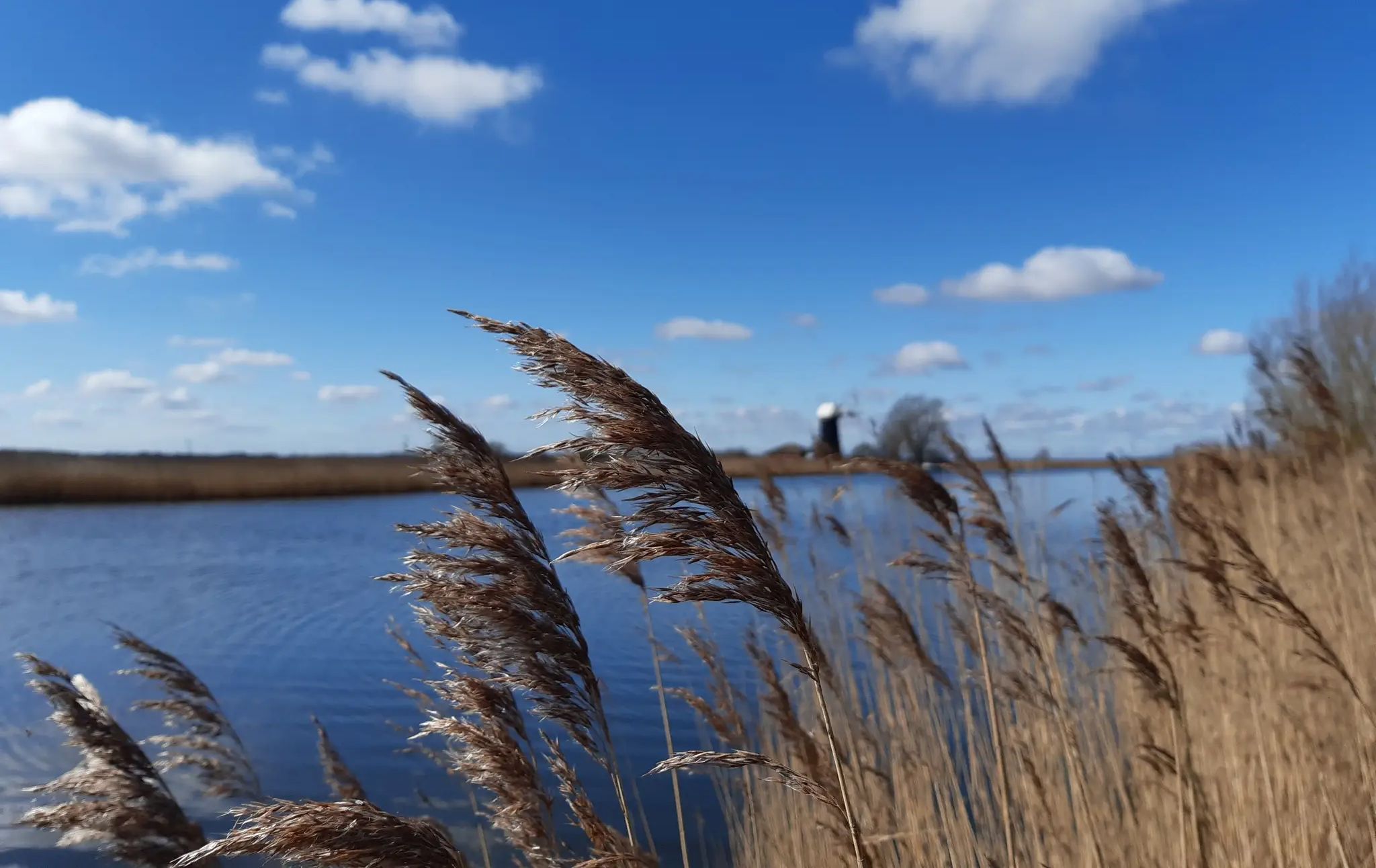
Windmills, wildlife and waterways – best walks in the Broads National Park
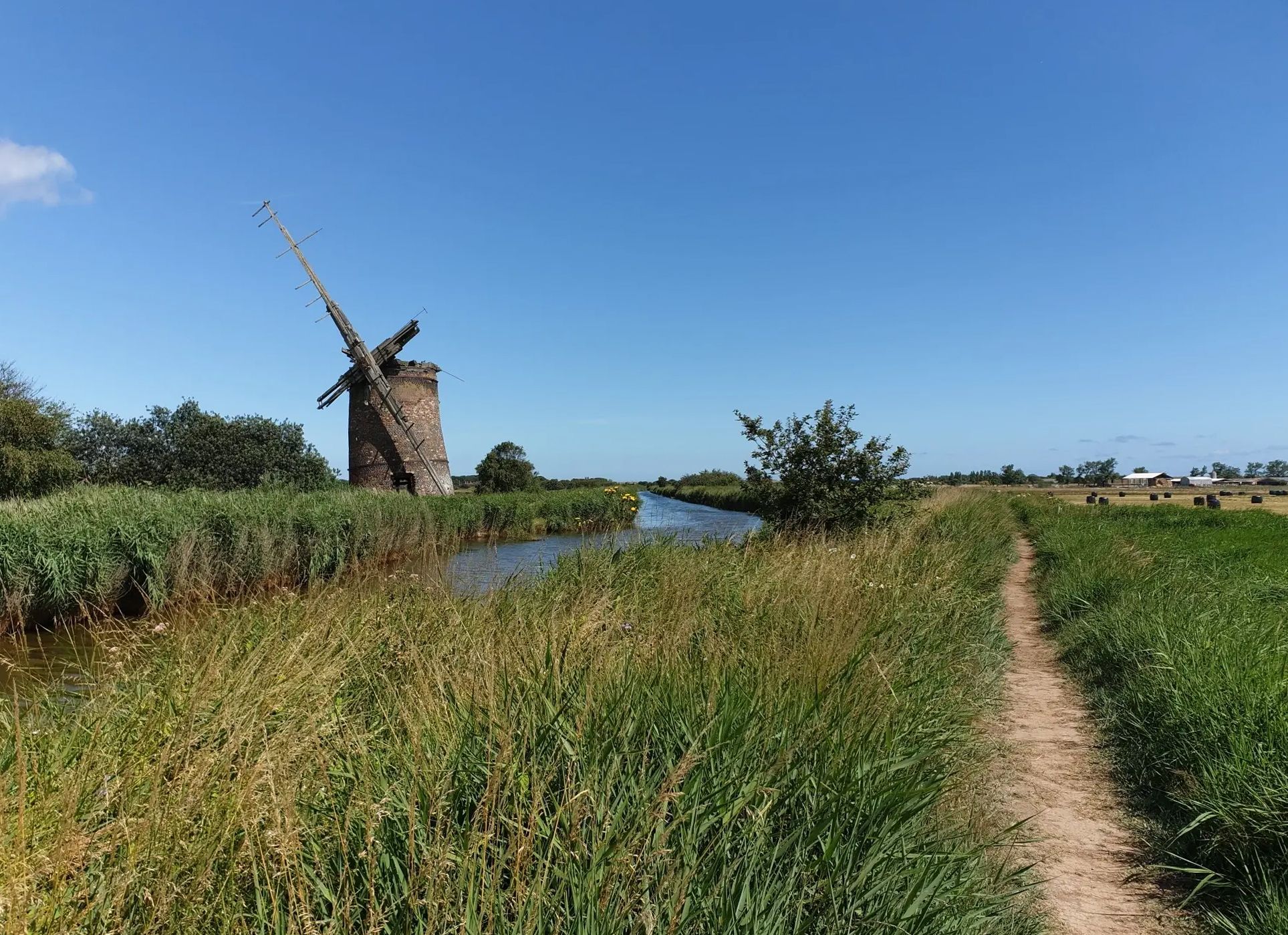
Golden autumn walks in the Broads National Park
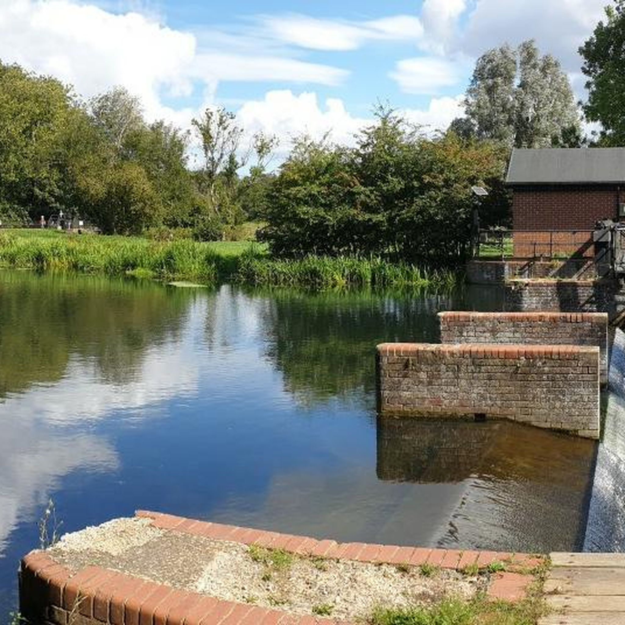
Road Cycling Routes around Horstead With Stanninghall
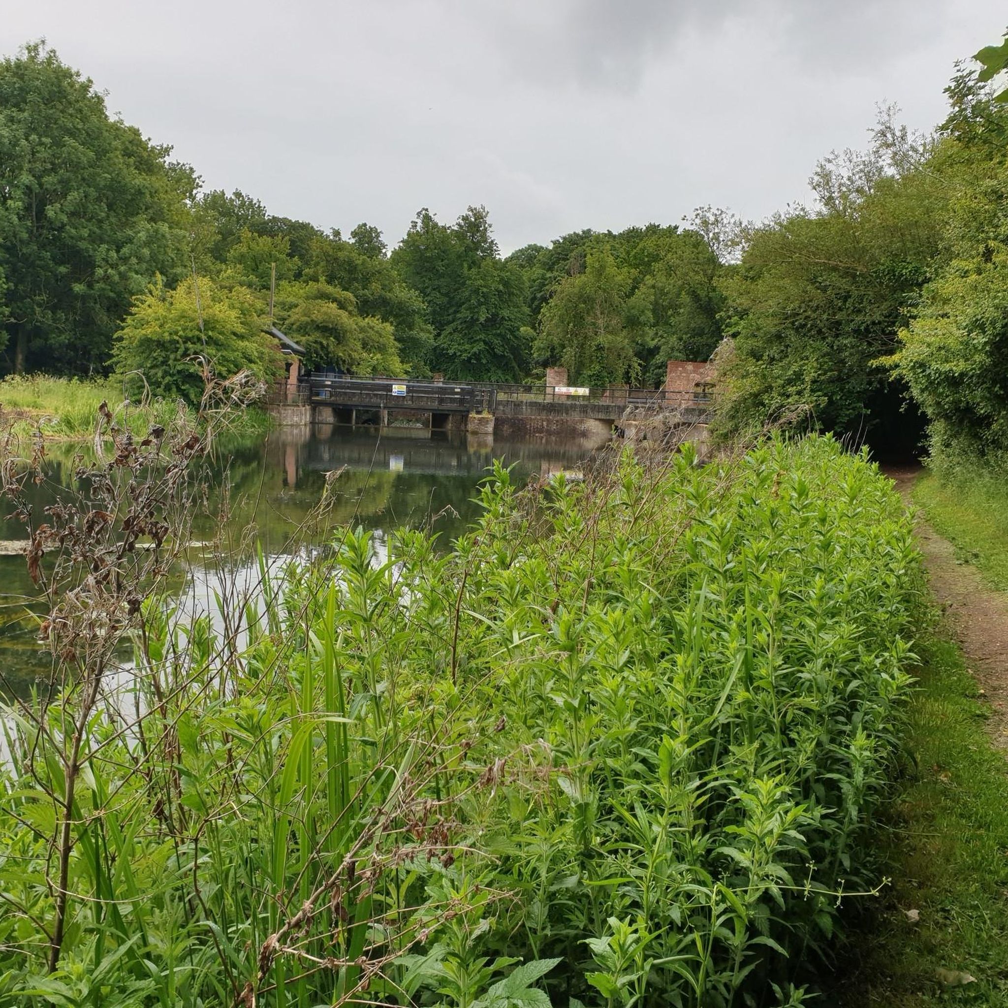
Hiking around Horstead With Stanninghall

MTB Trails around Horstead With Stanninghall
Running Trails around Horstead With Stanninghall
Gravel biking around Horstead With Stanninghall

Tips from the Community


Coltishall Station is one of the narrow gauge stations on the Bure Valley Railway line. It's also an access point for the nine mile (14.5 km) Bure Valley Path.
0
0

I've ridden Marriotts way many times, and it's a great route. However foolishly I didn't appreciate how muddy many parts of it get when it's been wet.
0
0

Using the power of moving water to drive a mill wheel is an ancient invention of the human spirit of discovery, the origins of which can be traced back to times long past. Thanks to such a construction, a watercourse - natural or artificial - could simply replace human or animal muscle power with the power of the natural elements, for example to grind grain into corn or to press oil from fruit. There are essentially two different ways of driving watermills: * Either the flowing water simply hits the blades of the water wheel from below to set it in motion; or * the water is guided - usually through a so-called "mill channel" - above the wheel and falls onto the blades; this type of construction is more efficient due to natural gravity.
1
0

Medieval stone bridge open to cyclists and pedestrians, providing a handy crossing over the river that avoids the city traffic.
0
0

Pleasure to ride this mostly continuous path from Aylsham to Norwich (in dry conditions) through changing settings and off-road surfaces
0
0
One of the major stations and exits to towns along the Bure Valley path, with the paths along this stretch being compacted gravel
0
0

Good place to stop for a coffee and to refuel! Toilets here as well.
0
0
Frequently Asked Questions
How many touring cycling routes are available around Horstead With Stanninghall?
There are over 300 touring cycling routes in the Horstead With Stanninghall area, offering a wide range of options for different skill levels and preferences.
What is the general terrain like for touring cycling in this area?
The terrain around Horstead With Stanninghall is characterized by flat river valleys, open rural lanes, and proximity to the Norfolk Broads. You'll find minimal elevation changes, making it suitable for relaxed rides, often following waterways and passing through agricultural areas. Some routes also extend towards the nearby coast.
Are there easy touring cycling routes suitable for beginners or families?
Yes, there are many easy routes perfect for beginners and families. Over half of the routes (166) are rated as easy. A great option is the Rebellion Way and Bure Valley Path Loop, which is 17.6 miles long and follows historic paths and scenic waterways.
Are there more challenging touring cycling routes for experienced cyclists?
While the area is generally flat, there are routes that offer a longer distance challenge. For instance, the South Walsham and Winterton-on-Sea loop from Wroxham is a difficult 61.7-mile trail that takes you through coastal areas and Broads villages, ideal for those seeking a longer day out.
Are there circular touring cycling routes in Horstead With Stanninghall?
Yes, many routes in the area are designed as loops, allowing you to start and finish at the same point. Examples include the Wroxham to Plantation Bridge loop, Via Norwich and the Happisburgh and Acle loop from Wroxham — Broads National Park.
What kind of attractions can I see along the touring cycling routes?
The routes often pass by various points of interest. You might encounter historical sites like Horstead Mill, or explore the scenic Marriott's Way. The area is also rich in natural beauty, with highlights such as Ranworth Broad Village and Waterfront and South Walsham Broad.
Are there pubs or places to stop for refreshments along the routes?
Yes, many routes will take you through villages or past establishments where you can stop for a break. For example, The Rising Sun Pub in Coltishall is a popular spot that can be incorporated into your ride.
What do other touring cyclists enjoy the most about touring cycling in Horstead With Stanninghall?
The area is highly rated by the komoot community, with an average score of 4.5 stars from over 349 reviews. Cyclists often praise the quiet rural lanes, the scenic views of the Norfolk Broads, and the generally flat terrain which makes for enjoyable and accessible rides.
What is the best time of year for touring cycling in this region?
The spring and summer months (April to September) generally offer the most pleasant weather for touring cycling, with longer daylight hours and milder temperatures. However, the flat terrain means that many routes are accessible year-round, though some paths might be muddier in wetter winter months.
Can I access touring cycling routes in Horstead With Stanninghall using public transport?
While Horstead With Stanninghall itself is a smaller village, nearby towns like Wroxham and Norwich offer better public transport links, including train stations. Many routes start or pass through these more accessible hubs, allowing you to combine cycling with public transport.
Where can I find parking for bike trails in Horstead With Stanninghall?
Parking options vary by starting point. Many routes begin in or near villages that offer public car parks. For routes starting from more rural locations, look for designated lay-bys or check local information for specific parking facilities near trailheads. Always ensure you park responsibly and legally.
Most popular routes around Horstead With Stanninghall
Most popular attractions around Horstead With Stanninghall

Get inspired with the komoot mobile app


Explore more
Browse the best Cycling routes in other regions.
