The best road cycling routes around Weilerswist
4.5
(62)
538
riders
53
rides
Road cycling around Weilerswist offers a network of routes primarily characterized by flat to gently rolling terrain, making it suitable for various skill levels. The region features open agricultural fields, small villages, and occasional historical landmarks such as castles and water towers. Many routes are circular road bike routes Weilerswist, providing varied distances and elevations, with most climbs being gradual hills rather than steep ascents.
Best road cycling routes around Weilerswist
- The most popular road cycling route is Vernich Castle…
Last updated: August 27, 2026
4.5
(19)
83
riders
29.7km
01:18
180m
180m
Easy road ride. Great for any fitness level. Mostly well-paved surfaces and easy to ride.
5.0
(4)
32
riders
Moderate road ride. Great for any fitness level. Some segments of this route may be unpaved and difficult to ride.

Sign up for free
29
riders
53.9km
02:17
190m
190m
Moderate road ride. Good fitness required. Mostly well-paved surfaces and easy to ride.
4.8
(4)
24
riders
Easy road ride. Great for any fitness level. Mostly well-paved surfaces and easy to ride.
4.3
(4)
23
riders
21.6km
00:56
90m
90m
Moderate road ride. Great for any fitness level. Some segments of this route may be unpaved and difficult to ride.
Get access to more routes and recommendations from other explorers.
Sign up for free
Already have an account?
Our route recommendations are based on thousands of hikes, rides, and runs completed by other people on komoot.
Start today with a free account
Your next adventure awaits.
Login or Signup
Other adventures around Weilerswist

Tips from the Community

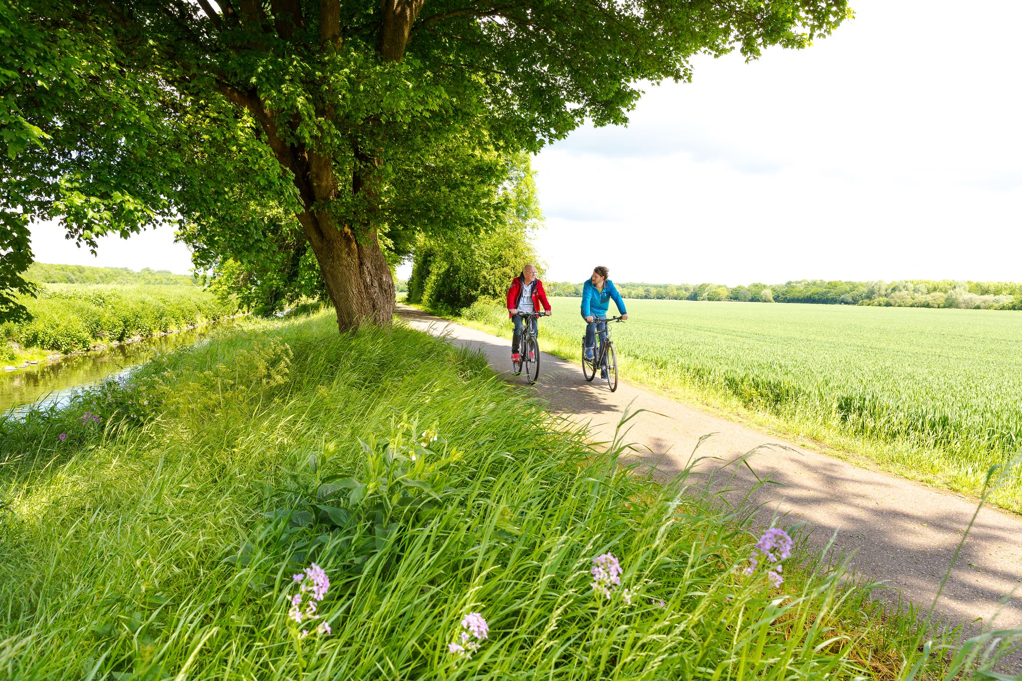
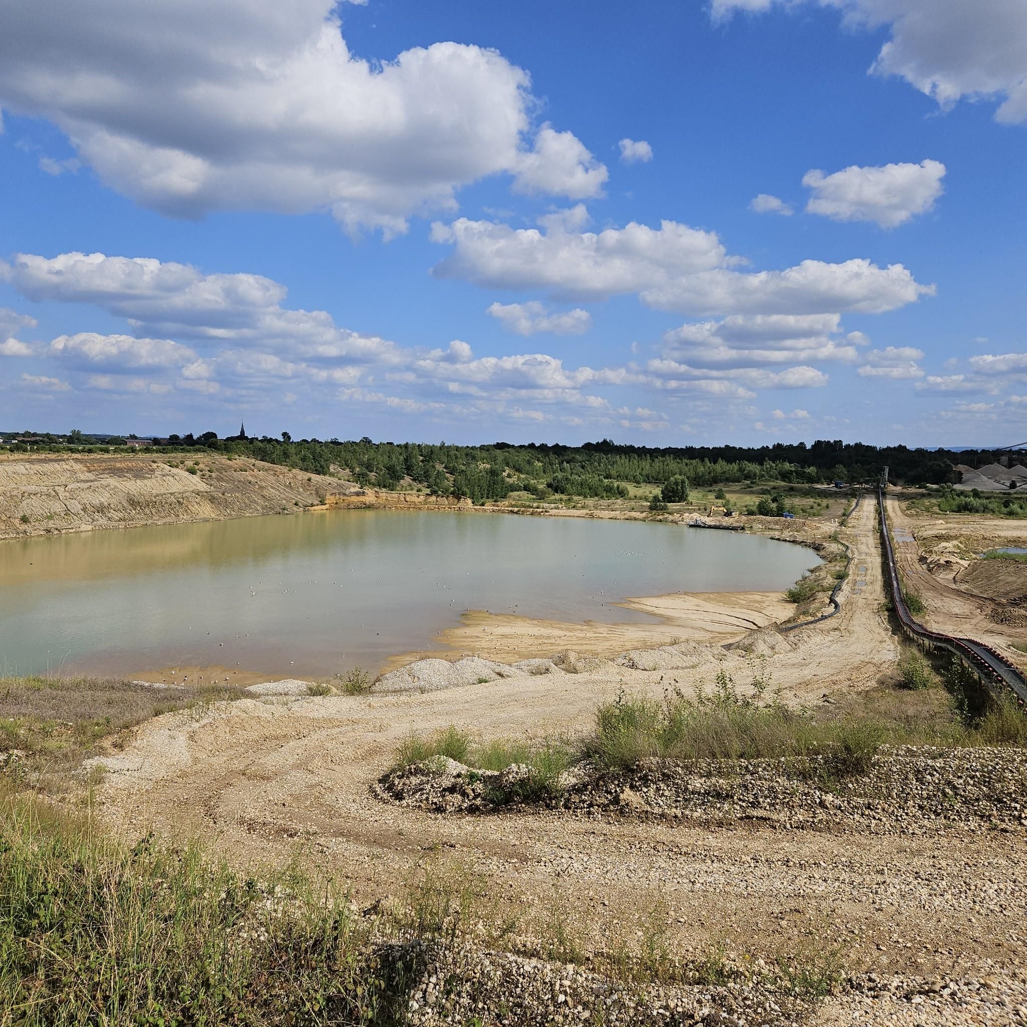
View over the countryside with a bench for a short break.
0
0


Every now and then it's worth stopping by here. However, it's too small as a replacement for the Bonner Vorlandbrücke (Nordbrücke). ;) If you want to see more of the bridge, you should stop by in late autumn, winter, or early spring when the leaves have fallen from the trees. The sides of the bridge are now heavily overgrown.
0
0

Very good, because it is a wide, well-paved and road-separated path. Only drawback: the narrowing at the entrance to Friesheim. Still top.
0
0
Frequently Asked Questions
How many road cycling routes are available around Weilerswist?
There are over 50 road cycling routes available around Weilerswist, offering a variety of distances and difficulty levels for different riders.
What are the typical distances and elevations for road cycling routes in Weilerswist?
Routes in Weilerswist vary, with distances generally ranging from approximately 18 to 34 miles (29 to 54 km). The terrain is mostly flat to gently rolling, so elevation gains are moderate, typically between 90 and 190 meters per route.
Are there easy road cycling routes suitable for beginners in Weilerswist?
Yes, Weilerswist offers a good selection of easy routes. About 12 of the available routes are rated as easy, characterized by gentle terrain and manageable distances. An example is the Vernich Castle Ruins – Rösberg Water Tower loop from Weilerswist, which is 18.4 miles (29.6 km) with moderate elevation.
Are there more challenging road cycling routes for advanced riders?
While the region is known for its gentle terrain, there are a few routes that offer a bit more challenge. Approximately 4 routes are rated as difficult, providing longer distances or slightly more varied elevation profiles for experienced cyclists.
What kind of scenery can I expect along the road cycling routes in Weilerswist?
Road cycling around Weilerswist takes you through open agricultural fields, charming small villages, and past occasional historical landmarks. You'll experience quiet country roads and rural landscapes, often with views of castles and water towers.
Are the road cycling routes in Weilerswist typically circular?
Yes, many of the road cycling routes around Weilerswist are designed as circular loops. This allows riders to start and finish at the same point, making logistics easier.
What historical landmarks or attractions can I see while road cycling in Weilerswist?
The routes often pass by historical points of interest. For example, the Vernich Castle Ruins – Rösberg Water Tower loop from Weilerswist features historical landmarks. Other nearby attractions include Augustusburg Palace and Gardens and Satzvey Castle, which are popular points of interest in the wider region.
What do other road cyclists enjoy most about the routes in Weilerswist?
The road cycling routes in Weilerswist are highly rated by the komoot community, with an average score of 4.6 stars. Riders often praise the quiet country roads, the gentle terrain suitable for various skill levels, and the pleasant rural scenery dotted with historical features.
When is the best time of year to go road cycling in Weilerswist?
The best time for road cycling in Weilerswist is typically during the spring, summer, and early autumn months. The weather is generally mild, and the agricultural landscapes are vibrant. Always check local weather forecasts before heading out.
Are there places to stop for refreshments or food along the road cycling routes?
Given that many routes pass through small villages, you can often find cafes or pubs to stop for refreshments. Planning your route with komoot allows you to identify potential stops along the way.
Are there any family-friendly road cycling options in Weilerswist?
Yes, the generally flat to gently rolling terrain makes many routes suitable for families. The easy-rated routes, such as the Swister Tower – Swisterberg Cycle Path loop from Weilerswist, are good choices for a family outing.
Where can I find parking for road cycling routes in Weilerswist?
Parking is generally available in the villages and towns that serve as starting points for many routes, including Weilerswist itself. Look for designated public parking areas or consider starting from locations with easy access to the routes.
Most popular routes around Weilerswist
Most popular attractions around Weilerswist

Get inspired with the komoot mobile app


Explore more
Browse the best Road cycling routes in other regions.
