The best walks and hikes around Wattenberg
4.6
(11570)
63,315
hikers
35
hikes
Hiking around Wattenberg, an alpine village in Austria's Innsbruck-Land district, offers diverse trails within the Karwendel mountains. The region features majestic peaks, green meadows, and dense forests. Hikers can find well-marked paths ranging from half-day excursions to challenging ascents, with elevations reaching over 2,700 meters. The landscape is characterized by its serene natural environment and continuous mountain views.
Best hiking trails around Wattenberg
- The most popular hiking route is To the idyllic Mölssee, a 9.7 miles (15.6 km) trail…
Last updated: August 10, 2026
4.8
(11)
104
hikers
15.6km
06:18
950m
950m
Hard hike. Very good fitness required. Mostly accessible paths. Sure-footedness required.
4.8
(18)
93
hikers
17.2km
05:27
700m
700m
Hard hike. Very good fitness required. Easily-accessible paths. Suitable for all skill levels.

Sign up for free
4.8
(17)
90
hikers
Moderate hike. Good fitness required. Mostly accessible paths. Sure-footedness required.
5.0
(1)
16
hikers
8.81km
03:06
490m
490m
Moderate hike. Good fitness required. Mostly accessible paths. Sure-footedness required.
4.8
(14)
100
hikers
8.62km
04:39
790m
790m
Moderate hike. Good fitness required. Mostly accessible paths. Sure-footedness required.
Get access to more routes and recommendations from other explorers.
Sign up for free
Already have an account?
Our route recommendations are based on thousands of hikes, rides, and runs completed by other people on komoot.
Start today with a free account
Your next adventure awaits.
Login or Signup
Popular around Wattenberg

Via Venezia Alpina – hiking across the Alps to the Adriatic Sea

The "Dream Path" hiking trail – From Munich to Venice in 28 stages
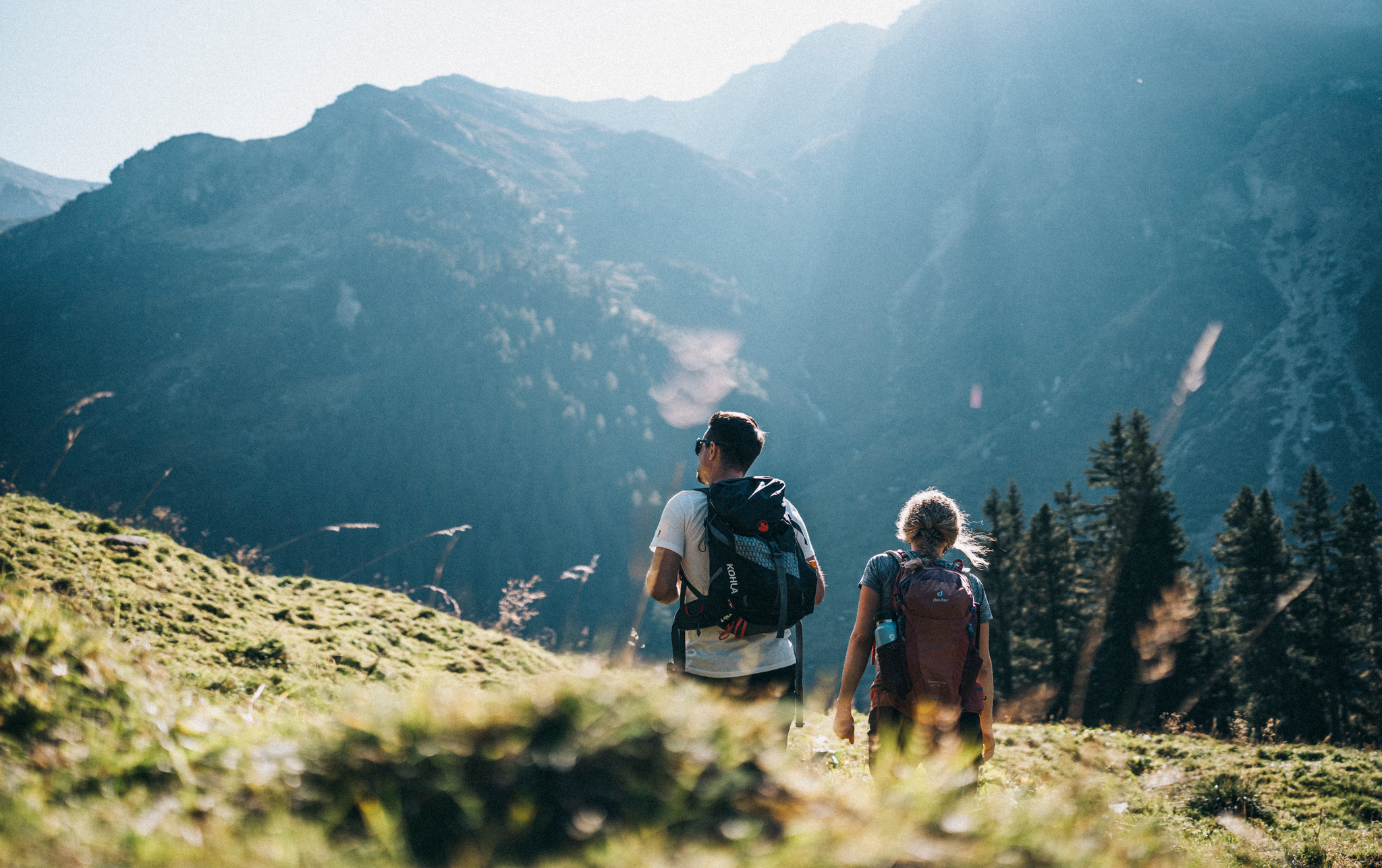
The most beautiful autumn hikes in Hall-Wattens
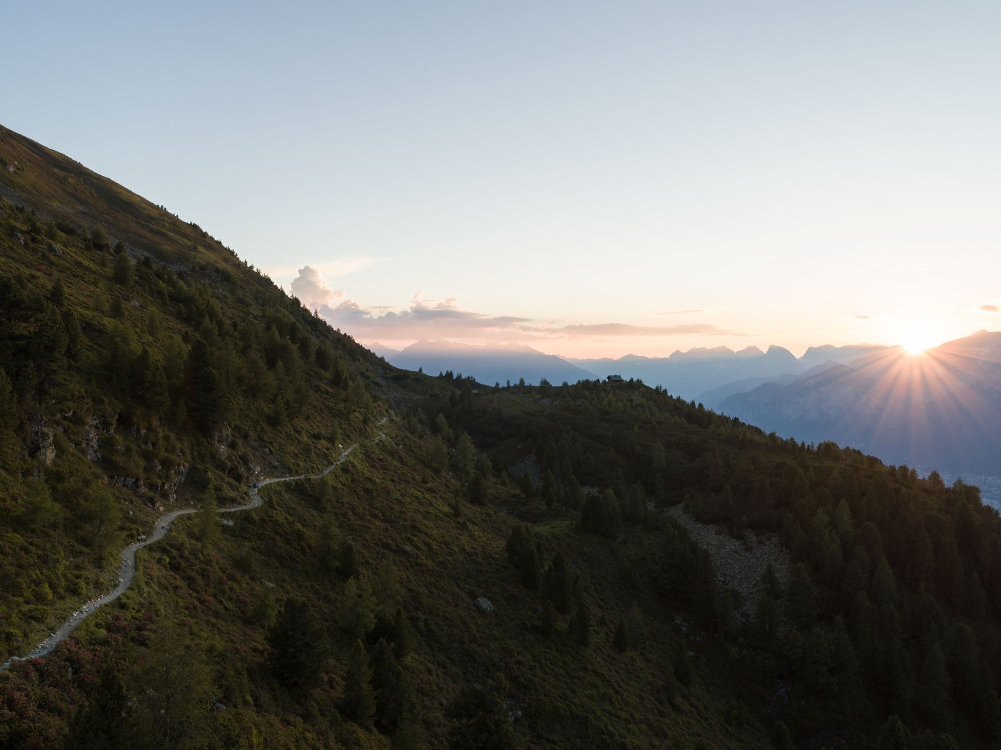
Six stages on the Inntaler High Trail – Great Walks
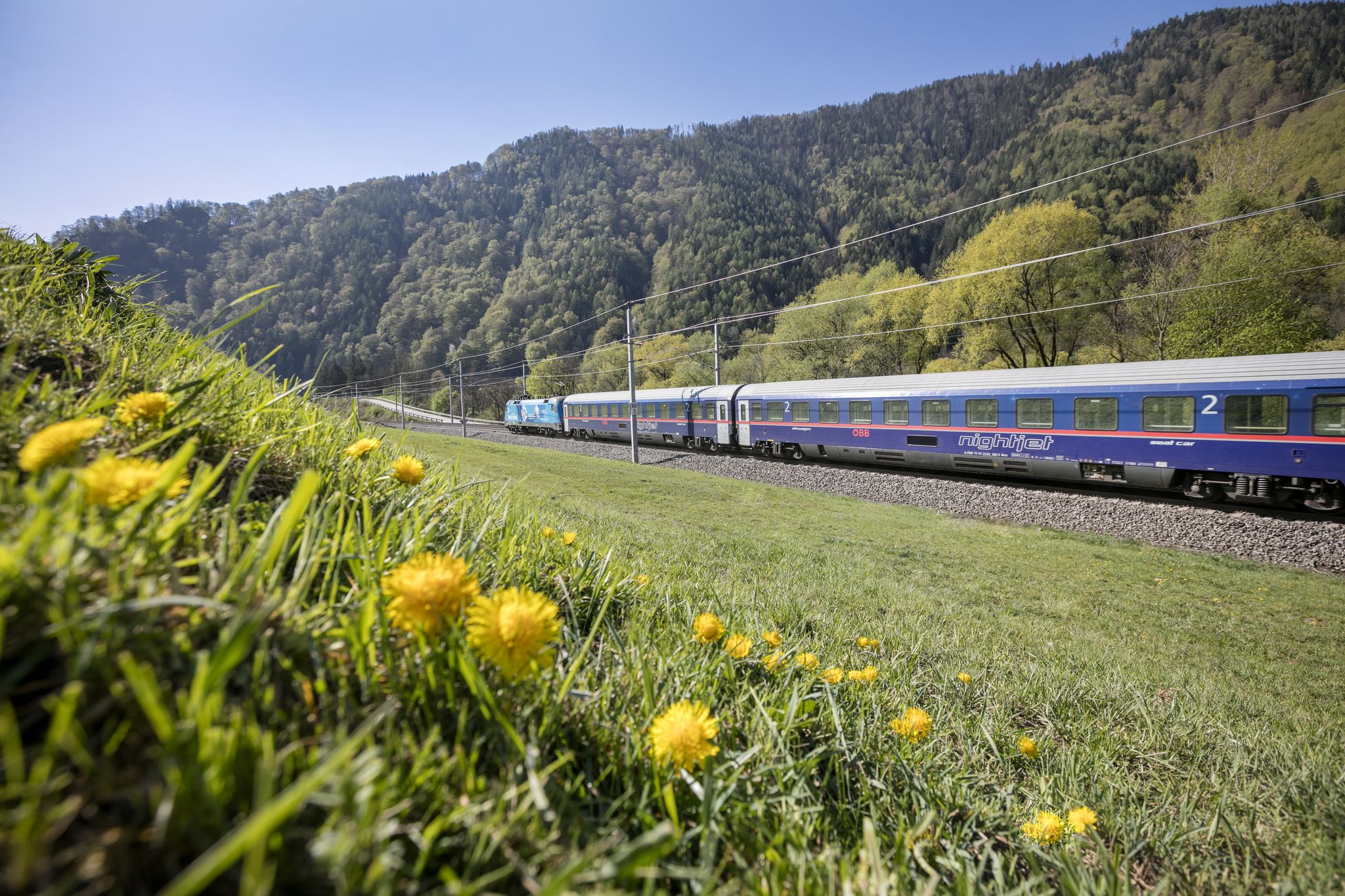
Nature & hiking – Austria's most beautiful hiking Tours

An alpine adventure – from east to west through Austria
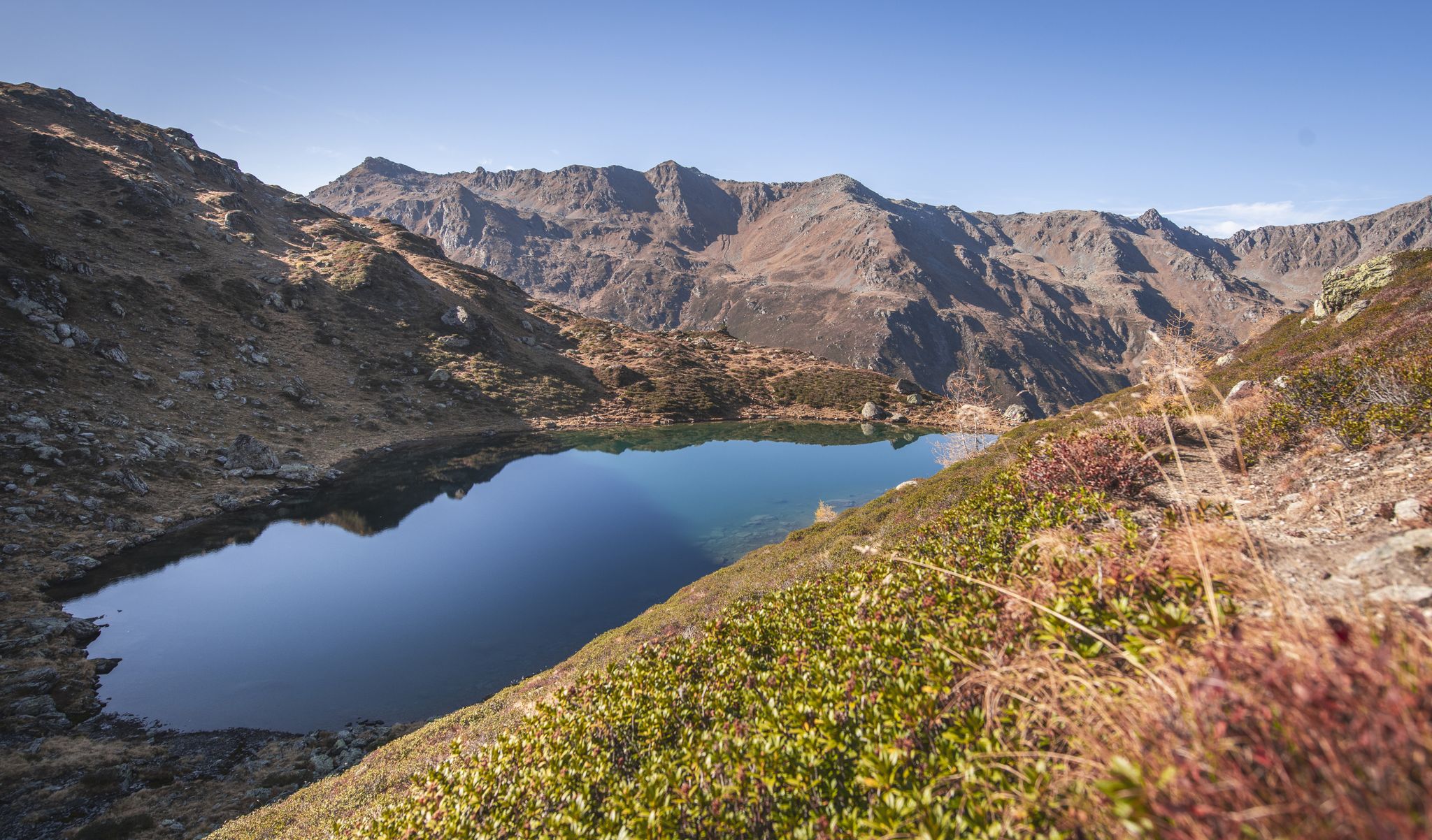
Hikes in Austria’s Hall-Wattens region – discover powerful places
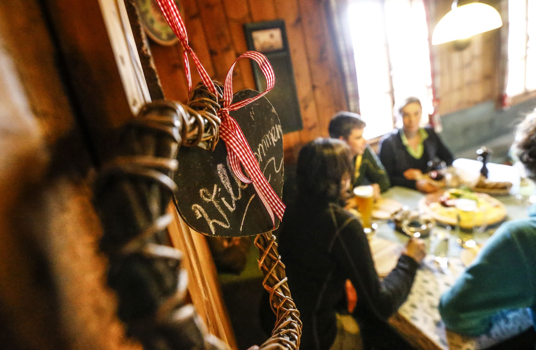
Hike hut to hut in Austria – foodie Tours in the Hall-Wattens region

Mountain pastures and local dishes — hiking to the Tyrolean alpine huts
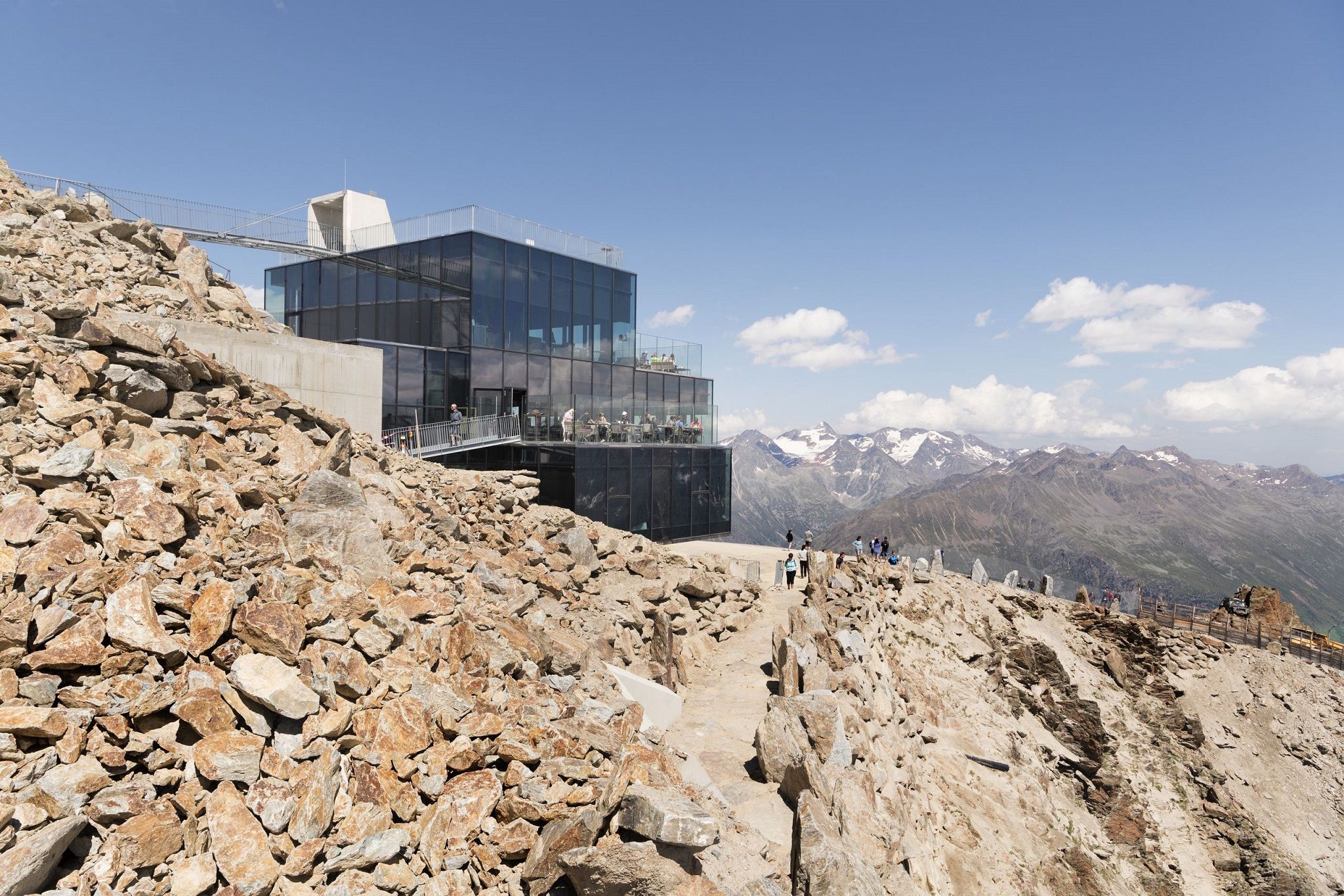
Delicious food and scenic mountains – Hikes for foodies in Tyrol
Other adventures around Wattenberg


Tips from the Community

Some views gain their appeal, among other things, from their inaccessibility. Here, you'll be rewarded for any effort with a small blue jewel amidst the mountain panorama.
1
0

Very worth seeing, you have to see it
0
0
Very worth seeing, you have to see it
0
0
Very worth seeing, you have to see it
0
0
Very worth seeing, you have to see it
0
0

Nice little "lake". But it's quite a distance to walk and therefore quite lonely. The water wasn't cold today.
0
1

The Geier-Hoch lies at 2725 metres and offers a wonderful view of the Junssee and the main Alpine ridge with the Tux Glacier.
0
0

Frequently Asked Questions
How many hiking trails are available in Wattenberg, and what are their difficulty levels?
Wattenberg offers a diverse network of over 30 hiking trails. You'll find options for all abilities, including 3 easy routes, 19 moderate trails, and 14 more challenging, difficult hikes, ensuring there's something for every hiker.
Are there any family-friendly hiking routes in Wattenberg?
Yes, Wattenberg has several half-day hikes suitable for families and beginners. These trails often wind through green meadows and dense forests, providing a pleasant experience without extreme difficulty. For a moderate option, consider the Lizumer Hut – Lizumer Torjoch loop, which offers scenic views around the Lizumer Hut.
What kind of views can I expect on hikes around Wattenberg?
Hikers in Wattenberg are consistently rewarded with stunning alpine vistas. The region is nestled at the foot of the Karwendel mountains, offering continuous fantastic views of majestic peaks and the Inn Valley. On clear days, you can even see as far as Innsbruck from higher elevations like the Kleiner Bettelwurf.
Are there any circular hiking routes in Wattenberg?
Yes, Wattenberg features several circular routes. A popular moderate option is the Lizumer Hut – Marmot Area loop, which is about 7.9 km long. Another longer, more challenging loop is the Wattental Zirben Trail – Lizumer Hut loop, taking you through alpine forests and meadows.
What are some notable natural attractions or landmarks to see while hiking in Wattenberg?
The region is rich in natural beauty and traditional alpine features. You can hike to impressive peaks like the Kleiner Bettelwurf for panoramic views. There are also traditional alpine huts such as the Rastkogel Hut and the Bettelwurf Hut, which are popular destinations. The Grawa Wasserfallhütte is also known for its striking waterfall.
Are there any specific trails that lead to lakes or water features?
Yes, one notable difficult trail leads to the scenic Mölssee. The route To the idyllic Mölssee is a 15.6 km journey that takes approximately 6 hours and 18 minutes to complete, offering beautiful lakeside views.
What do other hikers say about the trails in Wattenberg?
The trails in Wattenberg are highly regarded by the komoot community, holding an average rating of 4.6 stars from over 3,000 reviews. Hikers frequently praise the well-marked paths, the serene natural environment, and the continuous stunning mountain views of the Karwendel range.
Are there opportunities for longer, more challenging mountain hikes?
Absolutely. Wattenberg is part of the Inntaler Höhenweg, offering challenging multi-stage hikes. You can find routes to higher peaks like Mölsberg (2,479 m) and Geier (2,875 m) from the Lizumer Hut. For a demanding day hike, consider the To the idyllic Mölssee trail, which involves significant elevation gain.
Can I access hiking trails in Wattenberg using public transport?
Wattenberg is an accessible region, and public transport options are available to reach various trailheads. While specific bus connections vary, the village itself is served, allowing access to the surrounding hiking network. It's advisable to check local bus schedules for the most current information on routes to specific starting points.
Are there places to eat or stay near the hiking trails?
Yes, the region has traditional alpine huts that offer refreshments and sometimes overnight stays. The Glungezer Hut and Walderalm are examples of such huts where hikers can rest and enjoy local fare. The village of Wattenberg also provides accommodation and dining options.
What is the typical duration for hikes in Wattenberg?
Hike durations in Wattenberg vary widely depending on the route's difficulty and length. You can find half-day excursions suitable for a few hours, such as the Lizumer Hut to Torjoch route. Longer, more difficult trails, like the View of Innsbruck – Place of reflection loop, can take over 6 hours to complete.
Most popular attractions around Wattenberg

Get inspired with the komoot mobile app


Explore more
Browse the best Hikes in other regions.
