The best walks and hikes in Wasseramt
4.5
(582)
3,613
hikers
182
hikes
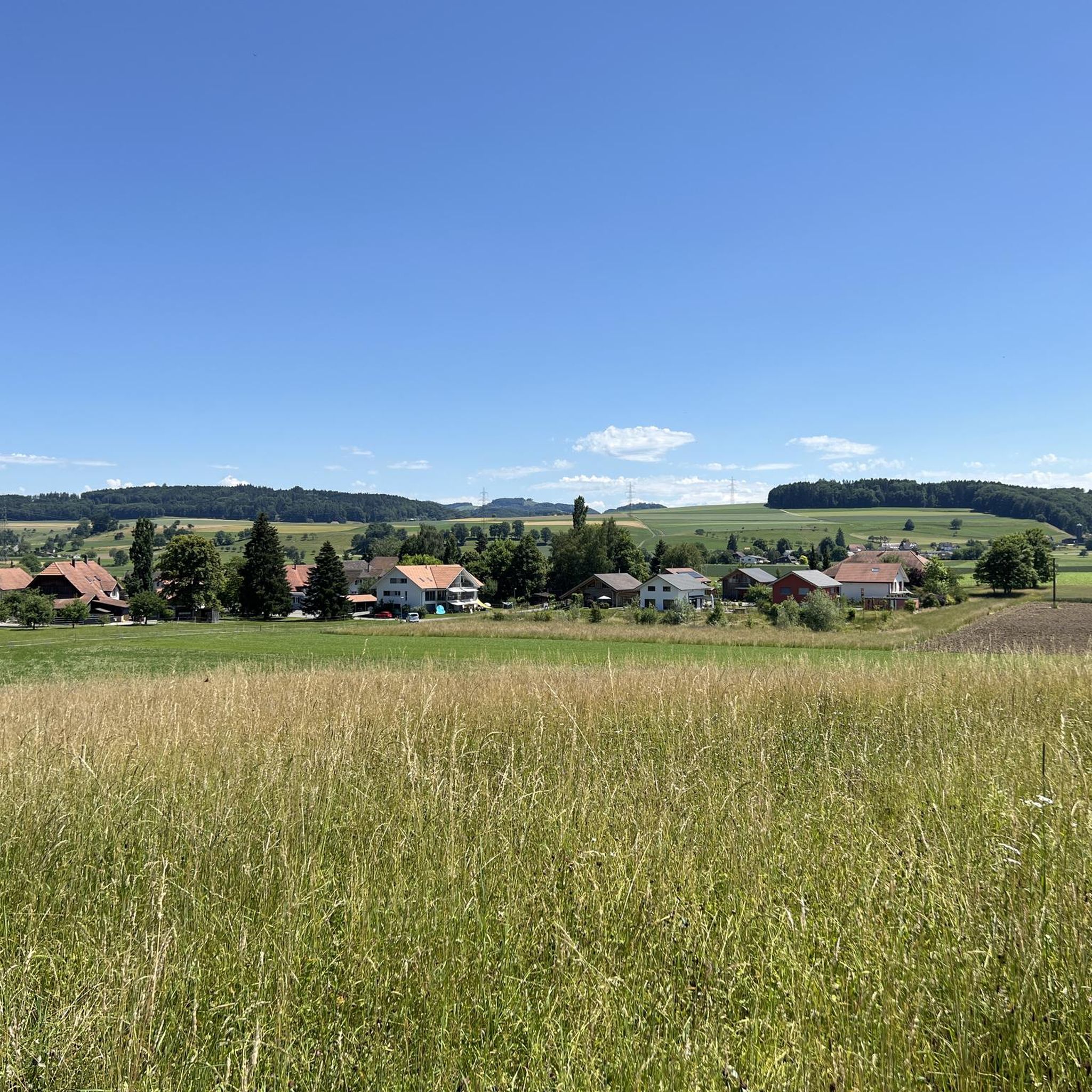
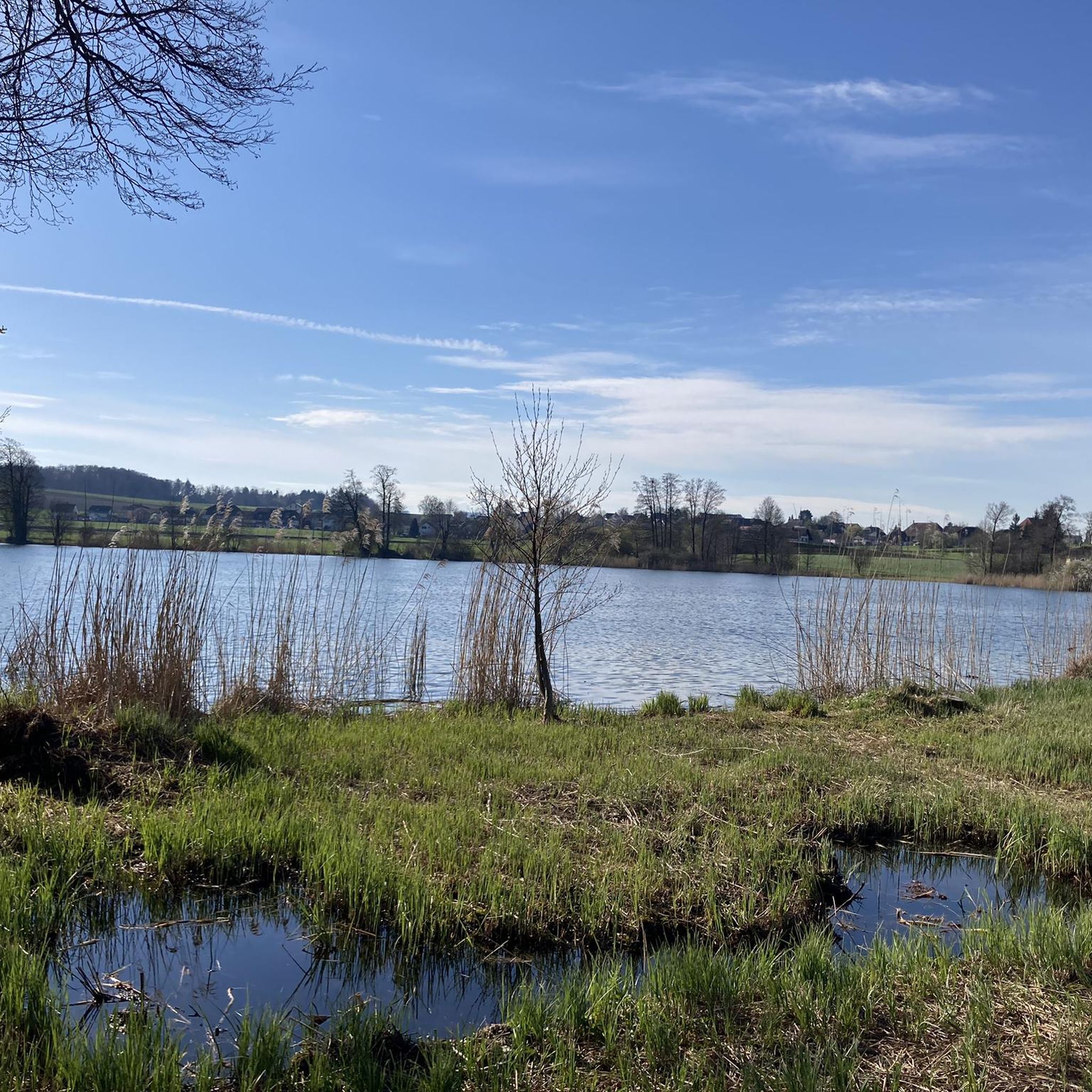
Hiking in Wasseramt, located in the canton of Solothurn, Switzerland, features a diverse landscape characterized by its serene rivers and tranquil lakes. The region's terrain includes accessible riverside paths along the Aare and Emme, as well as loops around scenic bodies of water like Lake Burgäschi. Hikers can explore a network of trails that traverse varied environments, from riparian zones to historical landmarks. The elevation changes are generally moderate, making many routes suitable for a range of abilities.
Best hiking…
Last updated: August 20, 2026
4.2
(17)
122
hikers
14.8km
03:48
70m
70m
Moderate hike. Good fitness required. Easily-accessible paths. Suitable for all skill levels.
4.7
(31)
438
hikers
7.52km
01:54
20m
20m
Easy hike. Great for any fitness level. Easily-accessible paths. Suitable for all skill levels.

Sign up for free
4.6
(11)
96
hikers
Easy hike. Great for any fitness level. Easily-accessible paths. Suitable for all skill levels.
4.9
(8)
82
hikers
5.94km
01:31
20m
20m
Easy hike. Great for any fitness level. Easily-accessible paths. Suitable for all skill levels.
4.9
(7)
79
hikers
5.77km
01:28
20m
20m
Easy hike. Great for any fitness level. Easily-accessible paths. Suitable for all skill levels.
4.8
(28)
122
hikers
11.9km
03:03
60m
60m
Moderate hike. Good fitness required. Easily-accessible paths. Suitable for all skill levels.
2.3
(3)
52
hikers
3.89km
01:00
10m
10m
Easy hike. Great for any fitness level. Easily-accessible paths. Suitable for all skill levels.
4.3
(4)
39
hikers
8.64km
02:15
60m
60m
Moderate hike. Good fitness required. Easily-accessible paths. Suitable for all skill levels.
4.1
(7)
21
hikers
6.85km
01:56
140m
140m
Moderate hike. Great for any fitness level. Mostly accessible paths. Sure-footedness required.
4.6
(12)
65
hikers
Moderate hike. Good fitness required. Easily-accessible paths. Suitable for all skill levels.
Get access to more routes and recommendations from other explorers.
Sign up for free
Already have an account?
Our route recommendations are based on thousands of hikes, rides, and runs completed by other people on komoot.
Start today with a free account
Your next adventure awaits.
Login or Signup
Other adventures in Wasseramt

Tips from the Community

Section with numerous benches. Ideal for a short break.
0
0


This site offers not only interesting information on biblical backgrounds.
0
0

Wide walkway under/next to the car bridge, offering excellent views of the old town. A good route from the train station to the old town.
3
0

The castle cellar of Wangen Castle on the Aare River is located in the rear part of the building and can be rented for parties and events of all kinds. It accommodates approximately 50 people and can be expanded to include the adjacent castle courtyard. The venue is a visual delight that exudes charm. Ample parking is available right next to the castle cellar.
0
0
Besides the old wooden bridge, the Salt House is probably the most mentioned building in Wangen an der Aare
0
0

Due to the expansion of the motorway to three lanes, this section will be closed until the end of 2027. It is hoped that we will have a great and beautiful path along the Aare again in 2028.
0
1

A very beautiful route, practically all along the Emme.
0
0
Frequently Asked Questions
How many hiking trails are available in Wasseramt?
Wasseramt offers a wide variety of hiking experiences, with over 190 routes available. These range from easy strolls to more moderate excursions, catering to different fitness levels.
What kind of terrain can I expect when hiking in Wasseramt?
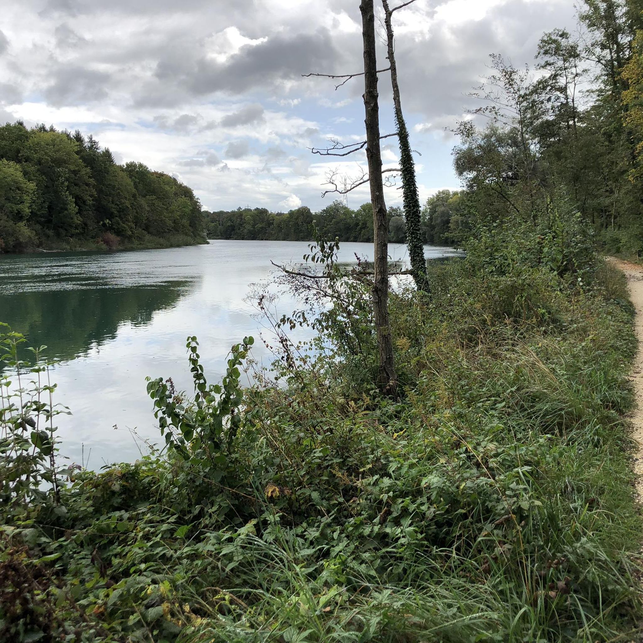
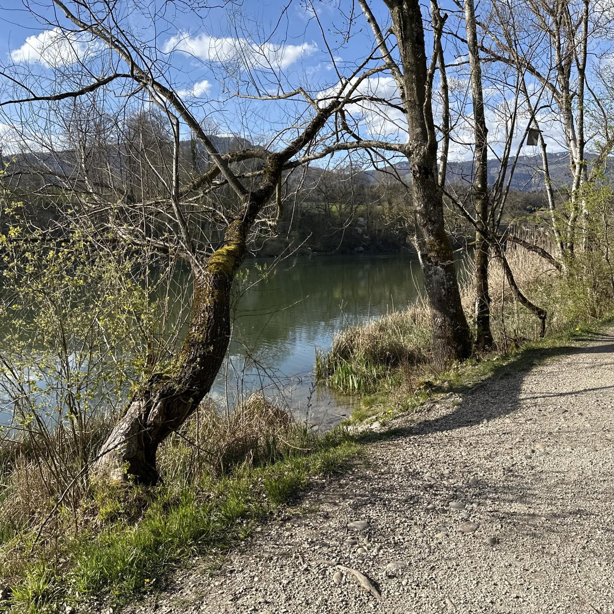
The terrain in Wasseramt is characterized by its serene rivers, tranquil lakes, and gentle landscapes. You'll find accessible riverside paths along the Aare and Emme, as well as loops around scenic bodies of water like Lake Burgäschi. Elevation changes are generally moderate, making many routes suitable for a range of abilities.
Are there family-friendly hiking options in Wasseramt?
Yes, Wasseramt is well-suited for family outings, with 122 easy routes available. Many paths are relatively flat and follow riverbanks or lake shores. A pleasant option is the Duck Pond and Aviary Bern loop from Biberist Ost, which is an easy 5.8 km path perfect for a leisurely family walk.
Can I bring my dog on the hiking trails in Wasseramt?
Many trails in Wasseramt are suitable for dogs, especially the riverside paths along the Aare and Emme. It's always recommended to keep dogs on a leash, particularly in nature reserves or near livestock, and to be mindful of local regulations. Always carry water for your pet and dispose of waste properly.
Are there any circular hiking routes in Wasseramt?
Yes, many of the hiking routes in Wasseramt are designed as loops, offering convenient circular walks. For example, you can enjoy the Lake Burgäschi – Lake Burgäschi loop from Seeberg, which takes you around the picturesque lake, or the Landshut Castle – Landshut Castle loop from Gerlafingen for a historical circular walk.
What natural attractions can I see along the hiking trails?
Wasseramt boasts several beautiful natural features. You can explore the serene Lake Burgäschi, or witness the confluence of the Emme and Aare rivers at Emmenspitz. Some trails also feature unique geological formations, such as boulders from the Stone Age near Lake Burgäschi, adding a historical natural curiosity to your hike.
Are there any historical landmarks or points of interest to explore?
Absolutely. Hikers can integrate cultural exploration into their trips by visiting historical sites like Landshut Castle, which has its own dedicated loop trail from Gerlafingen. The region's history is often intertwined with its natural landscapes, offering a rich experience.
What is the best time of year to go hiking in Wasseramt?
The best time for hiking in Wasseramt is generally from spring through autumn, when the weather is mild and the natural scenery is at its most vibrant. Spring brings blooming flora, summer offers warm days for riverside walks, and autumn provides beautiful foliage. Many trails are accessible year-round, but always check local conditions during winter months.
Are there easy hiking routes for beginners or those looking for a relaxed walk?
Yes, Wasseramt is very accommodating for beginners or those seeking an easy stroll, with 122 easy routes available. An excellent option is the Idyllic Aare River – Aareweg Footbridge loop from Solothurn, an easy 7.5 km path with minimal elevation gain, perfect for a relaxed experience along the Aare River.
What do other hikers enjoy most about hiking in Wasseramt?
The hiking trails in Wasseramt are highly rated by the komoot community, with an average score of 4.5 stars from over 500 reviews. Hikers often praise the well-maintained paths, the serene beauty of the Aare and Emme rivers, and the tranquil atmosphere around lakes like Lake Burgäschi. The diversity of trails, from easy riverside walks to routes incorporating historical sites, is also frequently highlighted.
Are there any hikes that feature the Emme River?
Yes, the Emme River is a prominent feature in Wasseramt's hiking network. You can explore trails like the Hidden Forest Path – View of the Emme River loop from Gerlafingen, which offers scenic views of the river, or the Barbecue area on the Emme – Hidden Forest Path loop from Gerlafingen, perfect for a leisurely walk with a potential stop for a picnic.
Is parking available at the trailheads in Wasseramt?
While specific parking details vary by trailhead, many popular starting points for hikes in Wasseramt offer designated parking areas. It's advisable to check the route details on komoot or local signage for the most accurate information regarding parking availability and any potential fees.
Most popular routes in Wasseramt
Most popular attractions in Wasseramt

Get inspired with the komoot mobile app


Didn’t find what you were looking for?
Check out more Hikes throughout Wasseramt below and find the perfect route in your destination.
Explore more
Browse the best Hikes in other regions.
