Warmensteinacher Forst-Nord
Warmensteinacher Forst-Nord
The best road cycling routes around Warmensteinacher Forst-Nord
4.4
(52)
636
riders
35
rides
Road cycling around Warmensteinacher Forst-Nord offers varied terrain within the Fichtel Mountains, characterized by a hilly landscape and numerous forests. The region features significant peaks like Ochsenkopf and Schneeberg, providing challenging climbs and scenic descents. Routes traverse valleys and ascend to higher elevations, offering diverse conditions for road cyclists. The area provides a network of routes suitable for different fitness levels.
Best road cycling routes around Warmensteinacher Forst-Nord
- The most popular road cycling route is Bayreuth Festival Theatre – Görschnitz–Görau…
Last updated: July 10, 2026
5.0
(6)
110
riders
59.2km
03:06
690m
690m
Moderate road ride. Good fitness required. Some segments of this route may be unpaved and difficult to ride.
5.0
(1)
23
riders
111km
05:44
1,700m
1,700m
Hard road ride. Very good fitness required. Some segments of this route may be unpaved and difficult to ride.

Sign up for free
5.0
(1)
43
riders
42.0km
02:03
580m
580m
Moderate road ride. Good fitness required. Some segments of this route may be unpaved and difficult to ride.
5.0
(1)
33
riders
29.1km
01:25
350m
350m
Moderate road ride. Good fitness required. Mostly well-paved surfaces and easy to ride.
3.0
(2)
29
riders
60.0km
02:40
560m
560m
Moderate road ride. Good fitness required. Some segments of this route may be unpaved and difficult to ride.
Get access to more routes and recommendations from other explorers.
Sign up for free
Already have an account?
Our route recommendations are based on thousands of hikes, rides, and runs completed by other people on komoot.
Start today with a free account
Your next adventure awaits.
Login or Signup
Popular around Warmensteinacher Forst-Nord
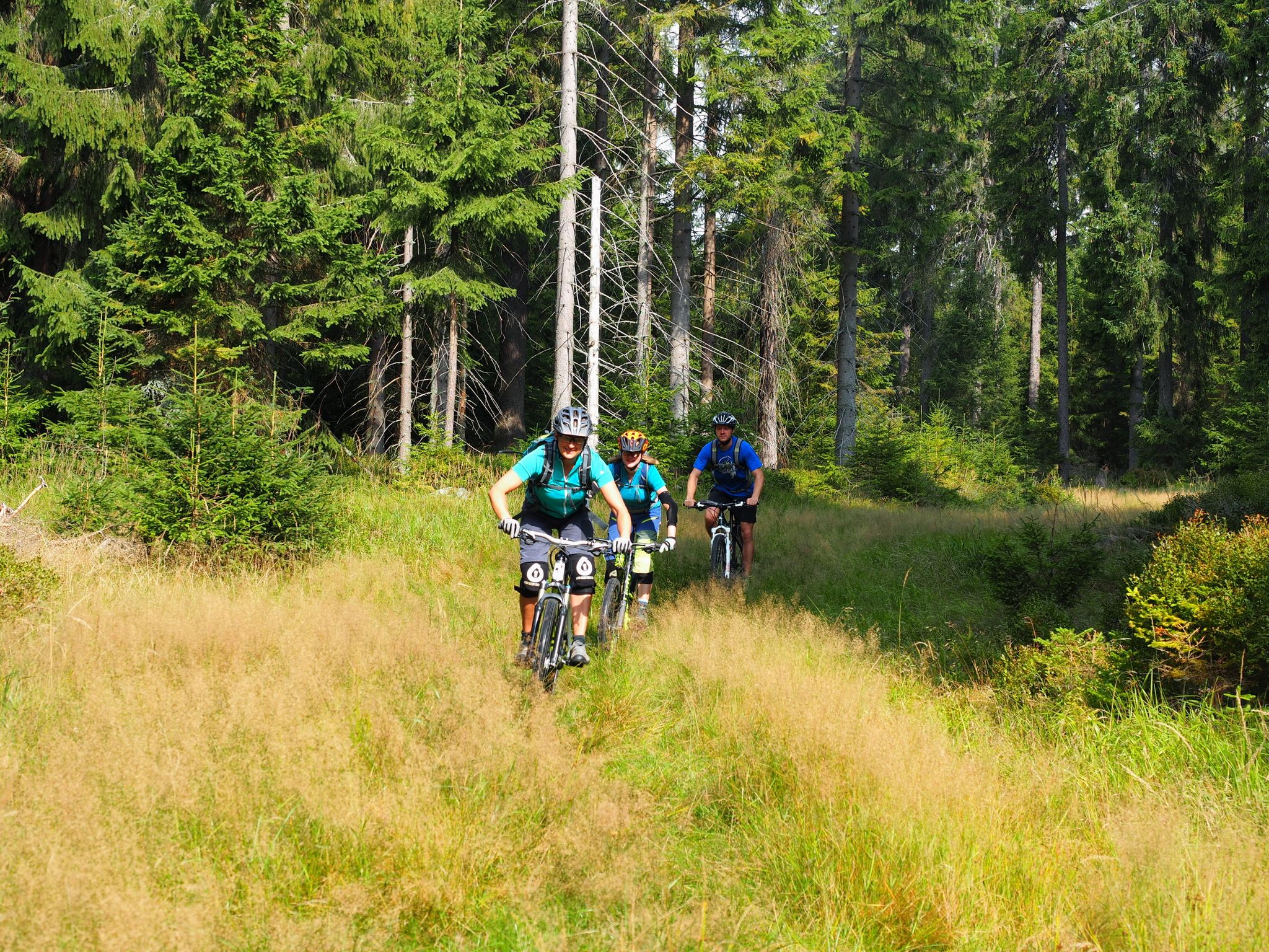
The best bike Tours around Nuremberg – MTB microadventures with the VGN
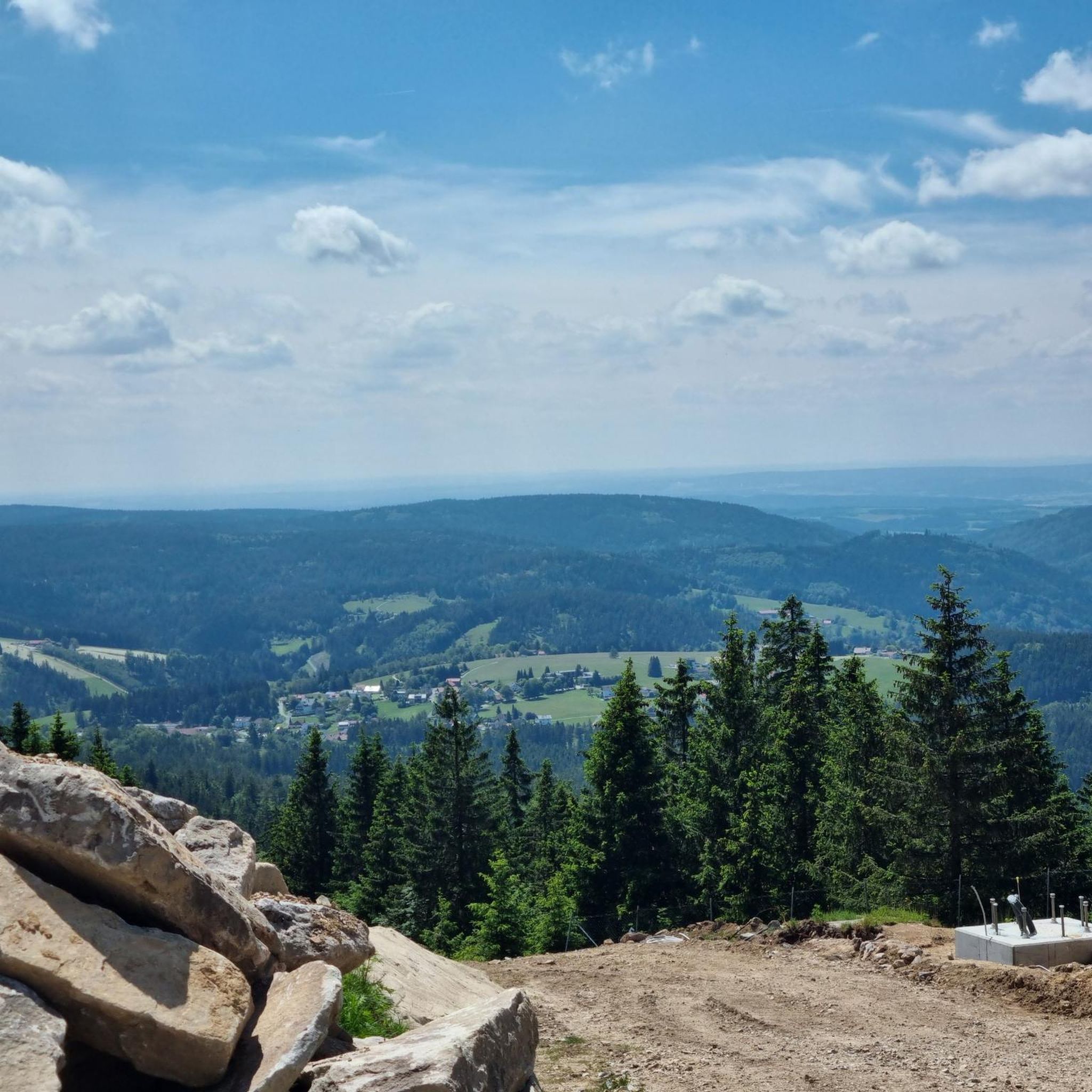
Hiking around Warmensteinacher Forst-Nord
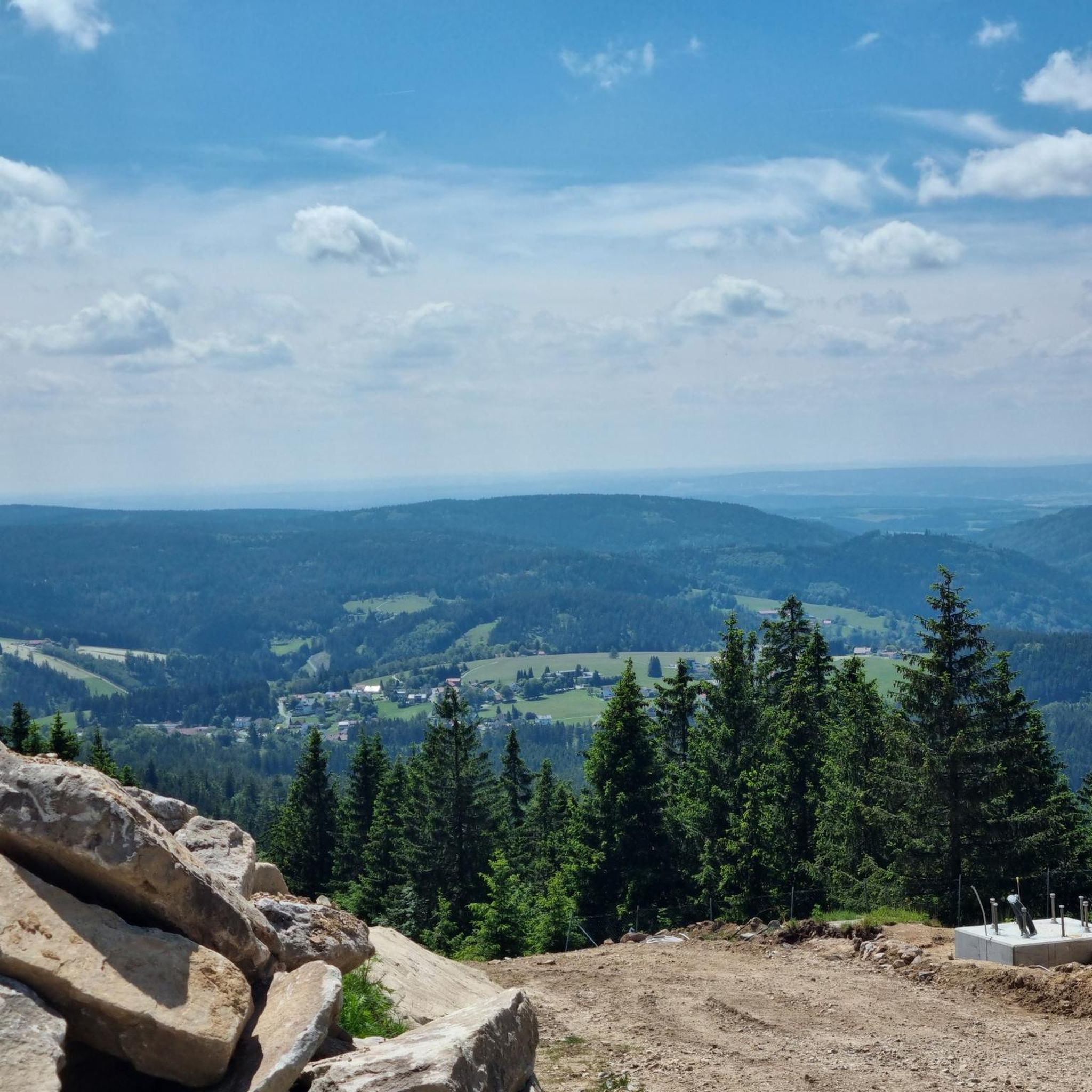
MTB Trails around Warmensteinacher Forst-Nord
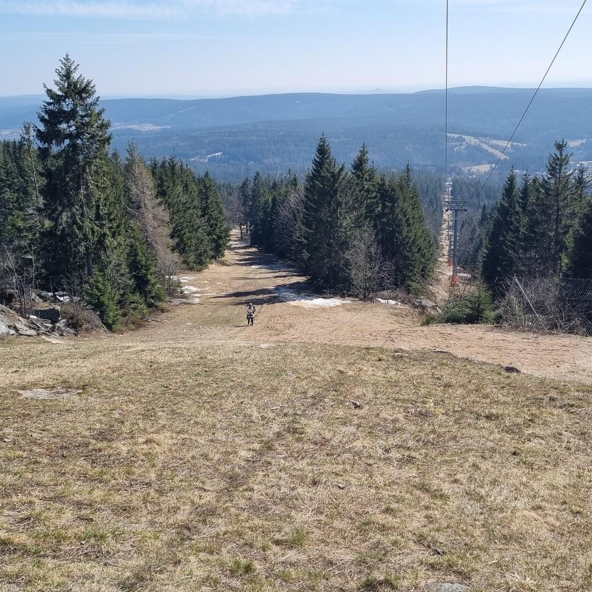
Cycling around Warmensteinacher Forst-Nord
Running Trails around Warmensteinacher Forst-Nord

Gravel biking around Warmensteinacher Forst-Nord
Mountain Hikes around Warmensteinacher Forst-Nord
Other adventures around Warmensteinacher Forst-Nord

Tips from the Community


Bischofsgrün is, so to speak, the "heart" of the Fichtel Mountains – a state-recognized health resort nestled in the valley between the two highest peaks in Northern Bavaria, the Ochsenkopf (1024 m) and the Schneeberg (1051 m). Bischofsgrün is the ideal starting point for almost any outdoor activity: The modern Ochsenkopf North Cable Car takes you to the summit year-round. In summer, the Alpine Coaster (a year-round toboggan run), the climbing park, and downhill trails beckon. In winter, the town is a hotspot for downhill and cross-country skiing. The region boasts a vast network of hiking trails, including the famous Franconian Mountain Trail.
4
0

Well, you have to work hard to climb the almost 800 meters 😉. The traffic is a bit tiring.
1
0

Very nicely laid out, with opportunities to stop for a bite to eat or simply take a rest.
0
0

Here you can get beer, shandy, and non-alcoholic drinks for a donation, as well as an original Ochsenkopf chairlift!
0
0

Bischofsgrün is the pearl of the Fichtelgebirge.
4
2

Idyllic rest area directly on the cycle path.
1
0

On asphalt through the forest in an idyllic valley, completely car-free. The perfect cycling route! When it rains, fire salamanders slither across the path!
0
0
Frequently Asked Questions
How many road cycling routes are available in Warmensteinacher Forst-Nord?
There are over 35 road cycling routes around Warmensteinacher Forst-Nord, offering a variety of options for different skill levels, from moderate loops to challenging climbs.
What is the typical terrain like for road cycling in this region?
The Warmensteinacher Forst-Nord region features a hilly landscape with dense forests and lakes, characteristic of the Fichtel Mountains. You can expect varied terrain, including picturesque hills and valleys, with impressive passes like the Ochsenkopf Pass providing significant challenges for experienced riders. Routes often include both scenic descents and demanding ascents.
What are some notable landmarks or points of interest I can see along the road cycling routes?
Many routes offer views of the region's natural beauty and landmarks. You might pass by the Asenturm on the Ochsenkopf, offering panoramic views, or the unique Nusshardt Summit and Rock Formations. The Weißmain Spring and the tranquil Fichtel Lake are also accessible along various routes.
Are there any particularly challenging road cycling routes for experienced riders?
Yes, the region offers several difficult routes. For instance, the Bischofsgrün Market Square – Schneebergstraße – 798 m loop from Bischofsgrün is a demanding 110.9 km (68.9 miles) path with significant elevation gain, passing through mountainous terrain and reaching high altitudes near Schneeberg, the highest mountain in Northern Bavaria.
What is the best time of year for road cycling in Warmensteinacher Forst-Nord?
The ideal time for road cycling in Warmensteinacher Forst-Nord is typically from spring to autumn. During these seasons, the weather is generally mild, and the roads are dry, providing optimal conditions to enjoy the diverse terrain and scenic beauty of the Fichtel Mountains.
Are there any circular road cycling routes available?
Yes, many routes in the region are designed as loops. For example, the Bayreuth Festival Theatre – Görschnitz–Görau Climb loop from Fichtelberg is a popular moderate 59.2 km (36.8 miles) circular route. Another option is the View of Rauher Kulm – Ochsenkopf South loop from Fleckl, a 42.0 km (26.1 miles) moderate trail.
What do other road cyclists enjoy most about road cycling in Warmensteinacher Forst-Nord?
The road cycling routes in Warmensteinacher Forst-Nord are highly rated by the komoot community, with an average score of 4.4 stars from over 50 reviews. Cyclists often praise the varied terrain, the challenging climbs, and the beautiful natural scenery of the Fichtel Mountains, including dense forests and picturesque valleys.
Are there any easier or more moderate road cycling routes suitable for a less strenuous ride?
Yes, the region offers routes for various fitness levels. For a moderate ride, consider the Hempelsberg Ski Lift loop from Fleckl, which is 30.2 km (18.8 miles) long. Another moderate option is the Rest Area at the Fichtelnaab – Fichtelnaab River loop from Fichtelberg, covering 60.0 km (37.3 miles).
Can I find places to eat or stay near the road cycling routes?
Yes, the region has several historic villages like Bischofsgrün or Fleckl which are often part of or near cycling routes. These villages typically offer cafes, pubs, and accommodation options for cyclists looking to refuel or stay overnight. The Fichtelsee area is also a popular recreational spot with facilities.
Are there any long-distance road cycling routes in the area?
For those seeking longer distances, the region provides routes that can be combined or are inherently long. The Bischofsgrün Market Square – Schneebergstraße – 798 m loop from Bischofsgrün, at 110.9 km (68.9 miles), is a significant long-distance option that traverses much of the mountainous terrain.
What are the parking options for cyclists in Warmensteinacher Forst-Nord?
While specific parking locations vary by route, many trailheads and villages like Fichtelberg, Bischofsgrün, or Fleckl, which serve as starting points for routes, typically offer public parking facilities suitable for cyclists. It's advisable to check local signage upon arrival.
Is public transport available to access road cycling routes in the region?
Public transport options are available in the Fichtel Mountains region, connecting some of the villages and towns. However, the availability of transport that can accommodate bicycles may vary. It's recommended to check local bus or train schedules and their bicycle policies in advance if you plan to use public transport to reach your starting point.
Most popular routes around Warmensteinacher Forst-Nord
Most popular attractions around Warmensteinacher Forst-Nord

Get inspired with the komoot mobile app


Explore more
Browse the best Road cycling routes in other regions.
