The best walks and hikes around Walzbachtal
4.6
(568)
3,209
hikers
142
hikes
Hiking around Walzbachtal offers varied terrain within the Kraichgau region, characterized by rolling hills and extensive forest cover. The landscape features a mix of ancient beech forests, mixed deciduous woodlands, and open meadows, providing diverse environments for outdoor activities. Small streams and protected natural areas contribute to the tranquil setting, with elevations offering both gentle and more challenging routes.
Best hiking trails around Walzbachtal
- The most popular hiking route is Wonderful forest path – Königsbacher Cross loop from Wössingen Ost…
Last updated: August 20, 2026
4.6
(33)
93
hikers
5.85km
01:38
110m
110m
Easy hike. Great for any fitness level. Easily-accessible paths. Suitable for all skill levels.
4.9
(14)
58
hikers
13.7km
03:48
250m
250m
Moderate hike. Good fitness required. Easily-accessible paths. Suitable for all skill levels.

Sign up for free
4.9
(22)
55
hikers
16.4km
04:32
290m
290m
Moderate hike. Good fitness required. Easily-accessible paths. Suitable for all skill levels.
4.8
(11)
42
hikers
15.4km
04:10
210m
210m
Moderate hike. Good fitness required. Easily-accessible paths. Suitable for all skill levels.
4.8
(11)
36
hikers
16.1km
04:25
260m
260m
Moderate hike. Good fitness required. Easily-accessible paths. Suitable for all skill levels.
Get access to more routes and recommendations from other explorers.
Sign up for free
Already have an account?
Our route recommendations are based on thousands of hikes, rides, and runs completed by other people on komoot.
Start today with a free account
Your next adventure awaits.
Login or Signup
Popular around Walzbachtal

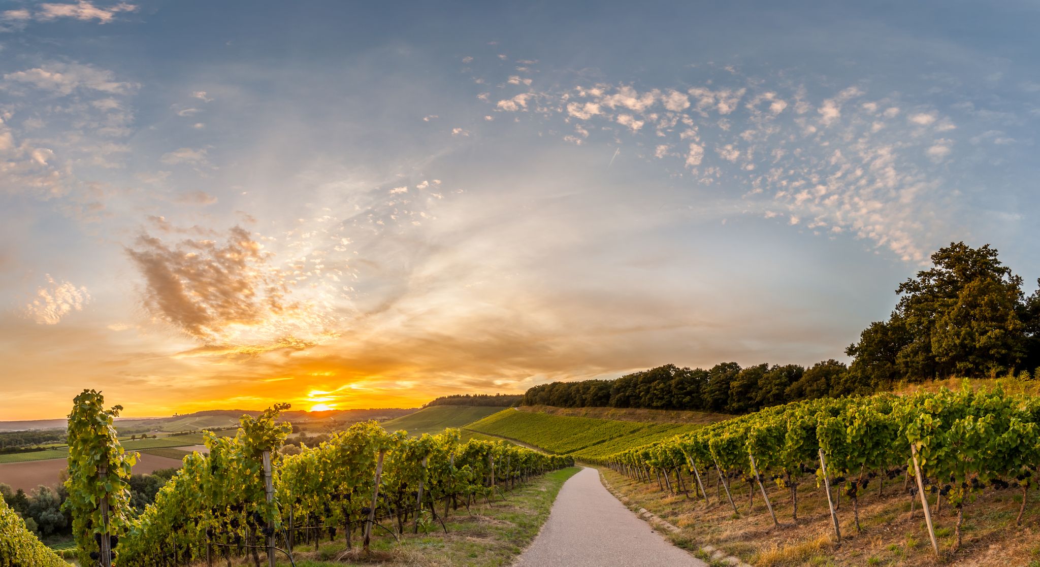
Spring in the land of 1,000 hills – Kraichgau-Stromberg in Germany
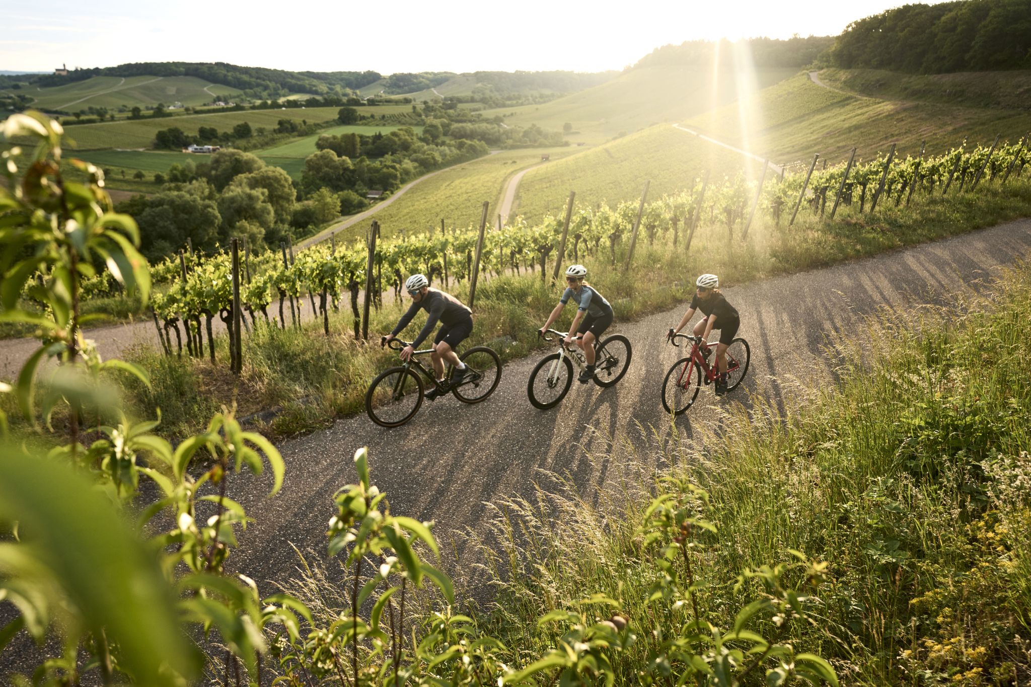
Cycling in the land of 1,000 hills in southern Germany – Kraichgau-Stomberg
Tritt für Tritt durchs Land der 1000 Hügel
Cycling around Walzbachtal
Road Cycling Routes around Walzbachtal
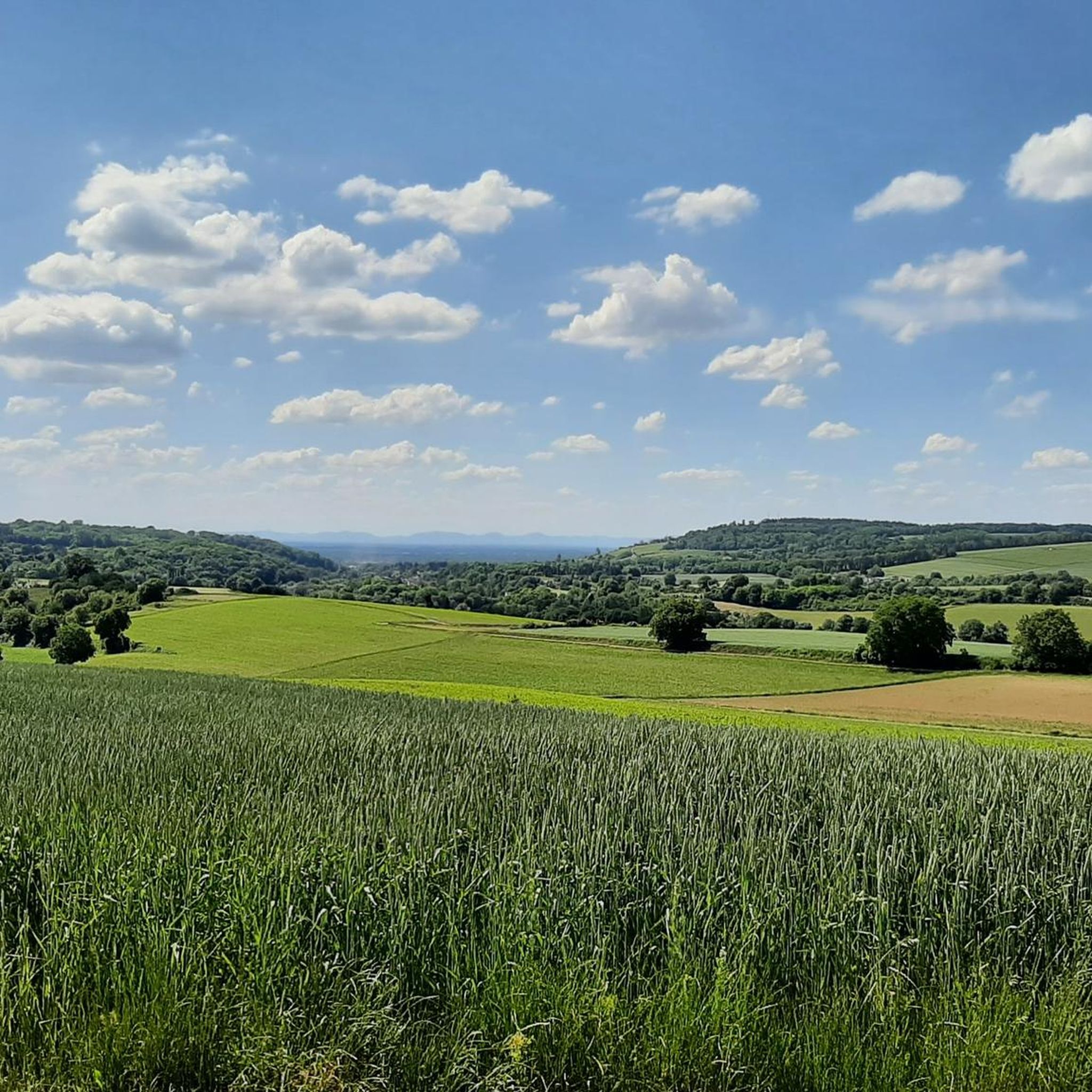
Running Trails around Walzbachtal
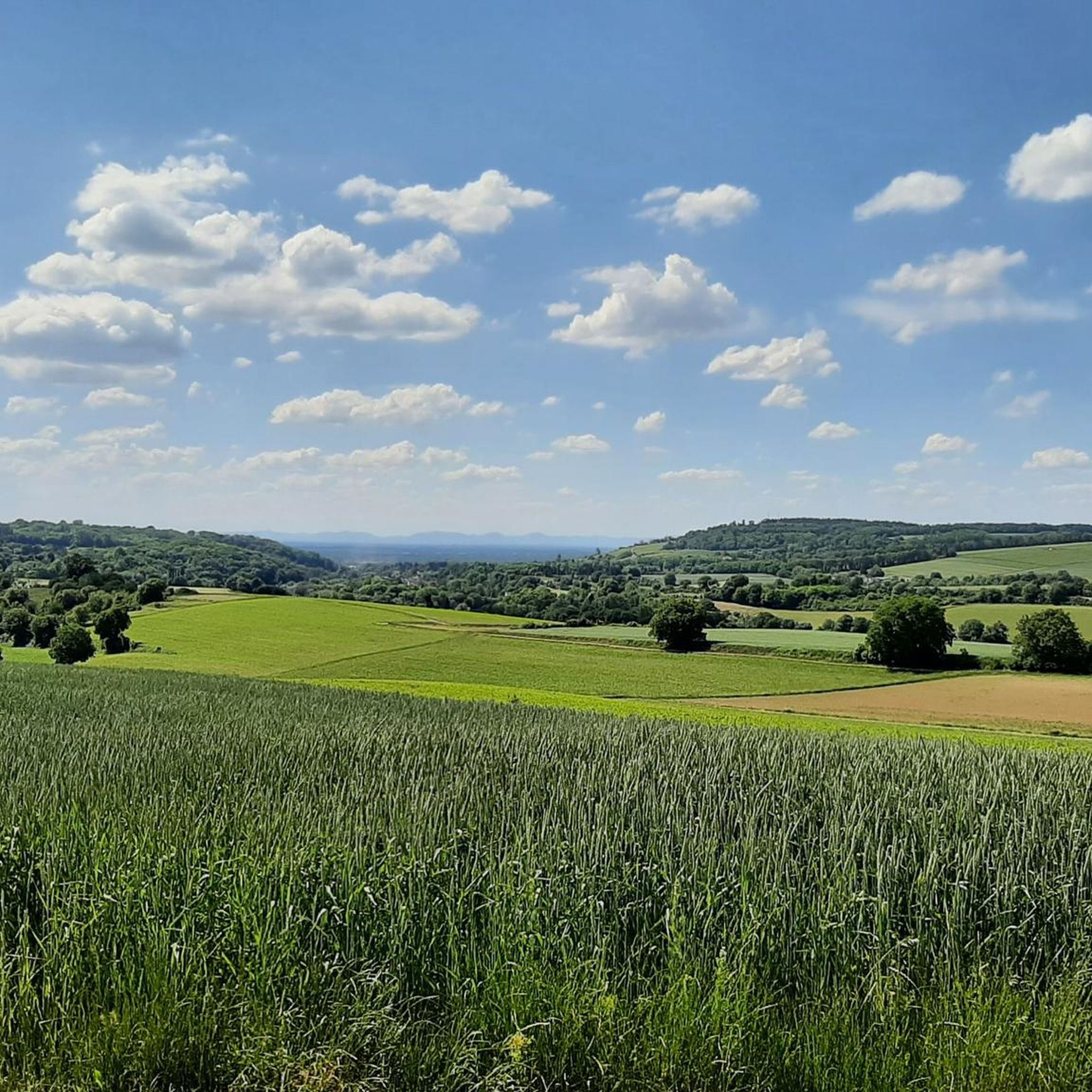
MTB Trails around Walzbachtal
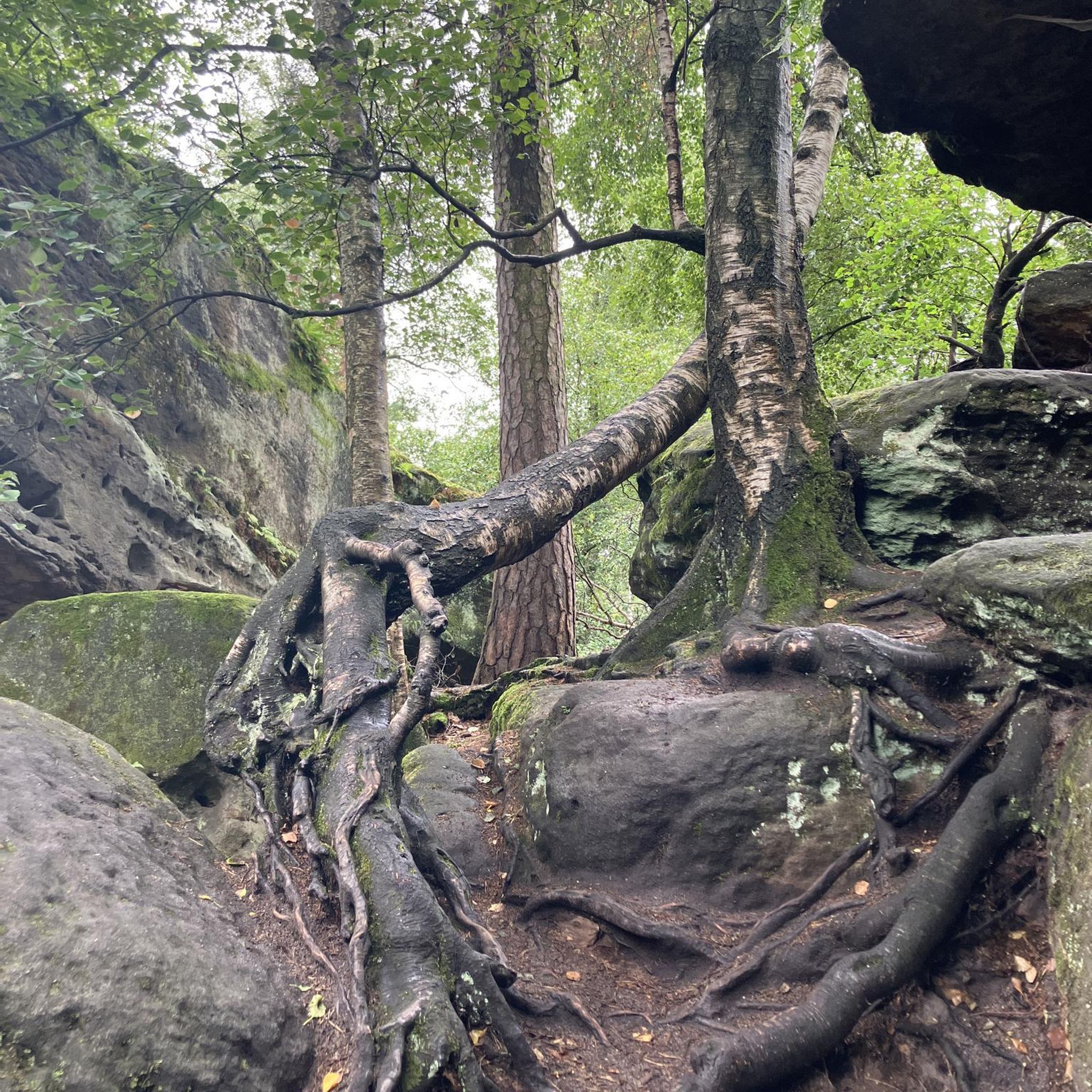
Gravel biking around Walzbachtal
Other adventures around Walzbachtal

Tips from the Community

The Deisentaler Kreuz is a historic wayside cross and is located in the middle of fields and meadows near the edge of the forest. Right next to it is a small rest area.
1
0
Seating area in an exposed location on the Heuberg with a good view towards Jöhlingen in the Kraichgau in one direction, and towards the Palatinate Forest in the other direction.
2
0
The baroque Maria-Hilf Chapel is picturesquely situated between two wooded areas above the Attental residential area (on the watershed between Jöhlingen and Wöschbach). It was built in 1732. Today, the chapel is still a destination for many pilgrims, especially in May and the summer months. The building is flanked by two historical wooden crosses: on the left a cross from 1783 and on the right one from 1857.
4
0

In fact, there are two benches here, but they are in the blazing sun.
0
0

Magnificent view over the fields of Kraichgau towards Jöhlingen.
6
0
Beautiful baroque pilgrimage chapel, built in 1732 on the watershed between Jöhlingen and Wöschbach. From there you have a magnificent view over Jöhlingen and the Walzbachtal.
7
0

Clubhouse of the Nature Friends Walzbachtal-Jöhlingen on the outskirts of Jöhlingen.
1
0
Frequently Asked Questions
How many hiking trails are available in Walzbachtal?
Walzbachtal offers a comprehensive network of over 120 hiking trails. These routes cater to various preferences, ranging from easy strolls to more challenging excursions through the diverse landscape.
What kind of terrain can I expect when hiking in Walzbachtal?
Walzbachtal, situated in the 'land of a thousand hills' (Kraichgau), features rolling hills, extensive forests, and tranquil meadows. You'll encounter varied elevations, ancient beech forests, mixed deciduous woodlands, orchards, and hedgerows, providing a dynamic and engaging environment for hikers.
What do other hikers say about the trails in Walzbachtal?
The hiking trails in Walzbachtal are highly rated by the komoot community, with an average score of 4.6 stars from over 350 reviews. Hikers often praise the well-maintained paths, the scenic views over the Kraichgau landscape, and the peaceful atmosphere of the woodlands.
Are there easy hiking trails suitable for beginners or casual walkers?
Yes, Walzbachtal has plenty of options for easy hikes. Out of the over 120 trails, 82 are classified as easy. A great example is the Naturfreundehaus Die Alm – Schlossberg Lake loop from Jöhlinger Tunnel, which is just under 6 km long and offers a pleasant walk.
Are there any circular hiking routes in Walzbachtal?
Many of the trails in Walzbachtal are designed as circular routes, allowing you to start and end at the same point. This makes planning your hike convenient. For instance, the Hungerquelle Artesian Spring – Roman Fountain loop from Rundwanderwege is a popular easy circular walk.
When is the best time of year to go hiking in Walzbachtal?
While Walzbachtal is beautiful year-round, autumn is particularly recommended for hiking. During this season, especially around the grape harvest, the landscape offers stunning colors and a vibrant atmosphere. The extensive forests and orchards provide a picturesque backdrop.
Are the hiking trails in Walzbachtal suitable for families with children?
Yes, many trails in Walzbachtal are suitable for families. The region's gentle rolling hills and numerous easy routes provide accessible options for all ages. Look for shorter, less strenuous loops that allow children to enjoy nature without becoming overtired.
Can I bring my dog on the hiking trails?
Generally, dogs are welcome on the hiking trails in Walzbachtal. The extensive forest cover and open meadows provide a great environment for walks with your canine companion. However, always keep your dog on a leash, especially in protected natural areas and near wildlife, and be mindful of local regulations.
Are there any notable natural features or viewpoints to discover?
Walzbachtal is rich in natural beauty. You can explore protected natural areas like the FFH area 'Mittlerer Kraichgau' with its ancient forests. For specific natural highlights, consider visiting the Ungeheuer Gorge or the Michaelsberg, which offers a viewpoint. The region also features idyllic streams and expansive meadows.
Where can I find parking or access trails by public transport?
Many trailheads in Walzbachtal, particularly near districts like Jöhlingen and Wössingen, offer parking facilities. For public transport access, routes often start near train stations or bus stops, such as the 'Jöhlingen Bahnhof' starting point for the View from Heuberg – View of Jöhlingen loop. It's advisable to check specific route details for parking and public transport information.
Are there places to eat or stay near the hiking trails?
Walzbachtal and its surrounding villages offer various amenities for hikers. You can find local restaurants, cafes, and guesthouses to refuel and relax after your hike. For more detailed information on local services, you might find resources on the official Walzbachtal tourism website.
Are there any longer, more challenging hikes in the area?
While Walzbachtal is known for its rolling hills, there are indeed more challenging options. The region offers 44 moderate and 3 difficult routes. These longer trails often cover more distance and elevation gain, providing a good workout. An example of a moderate route is the Wonderful forest path – Königsbacher Cross loop from Wössingen Ost, which is 13.7 km long.
Most popular routes around Walzbachtal
Most popular attractions around Walzbachtal

Get inspired with the komoot mobile app


Explore more
Browse the best Hikes in other regions.
