The best road cycling routes around Strelley
4.4
(294)
13,454
riders
725
rides
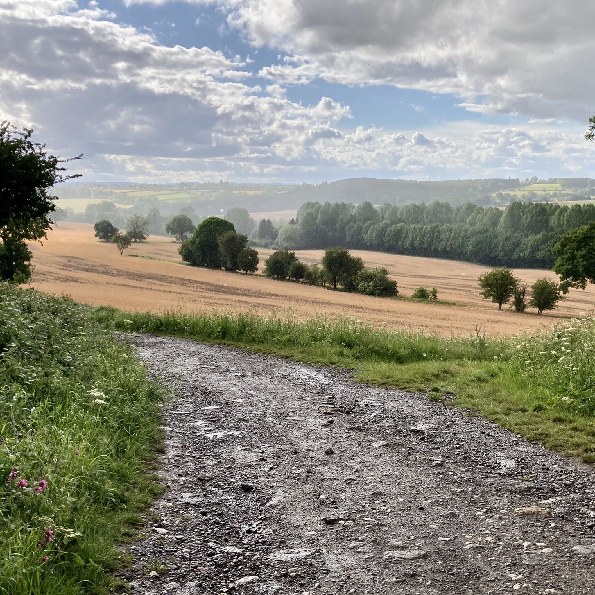
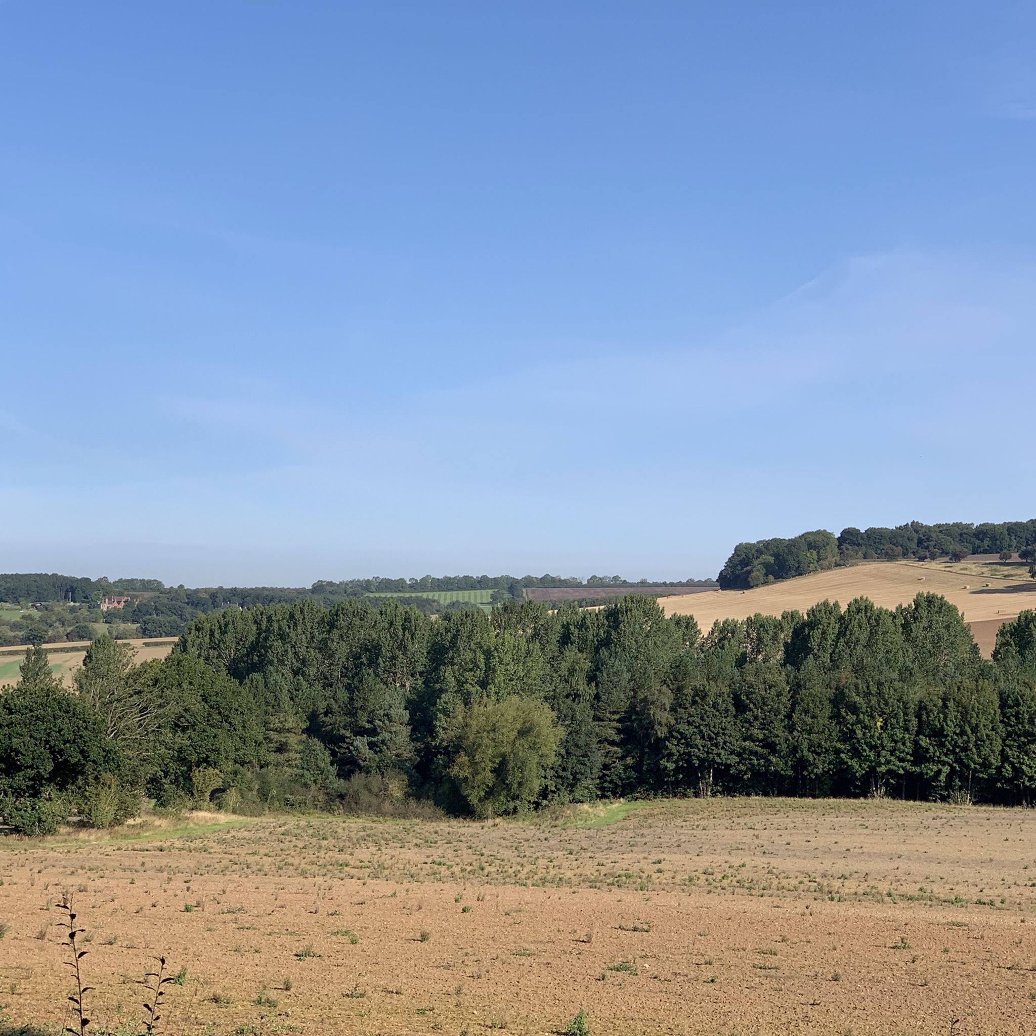
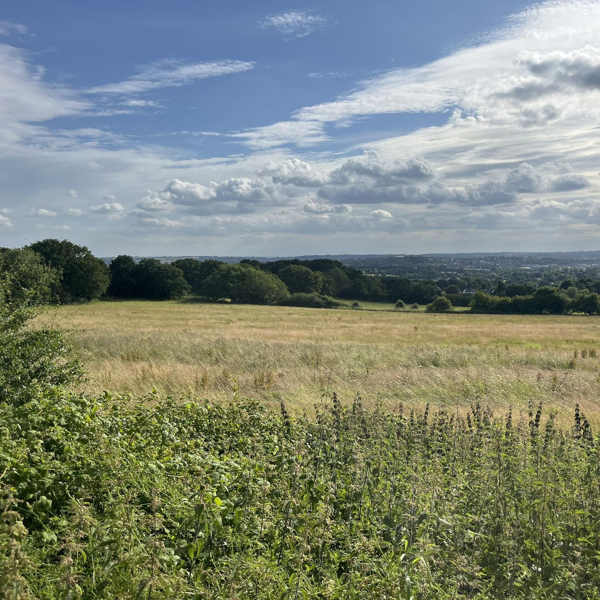
Road cycling routes around Strelley traverse a varied landscape within Nottinghamshire, characterized by scenic countryside, well-paved surfaces, and undulating terrain. The area features a mix of gentle stretches along canals and reservoirs, alongside more challenging climbs through woodlands and hills. This region provides access to a network of routes suitable for different fitness levels, offering diverse road cycling experiences.
Best road cycling routes around Strelley
- The most popular road cycling route is View of Cropston Reservoir – Swithland Reservoir loop…
Last updated: July 4, 2026
3.0
(1)
161
riders
112km
04:51
760m
760m
Moderate road ride. Good fitness required. Mostly well-paved surfaces and easy to ride.
82
riders
62.8km
03:00
720m
720m
Moderate road ride. Good fitness required. Mostly well-paved surfaces and easy to ride.

Sign up for free
5.0
(1)
57
riders
69.7km
03:08
710m
710m
Moderate road ride. Good fitness required. Mostly well-paved surfaces and easy to ride.
3.0
(1)
34
riders
96.8km
04:21
990m
990m
Hard road ride. Very good fitness required. Mostly well-paved surfaces and easy to ride.
5.0
(1)
43
riders
38.4km
02:04
120m
120m
Moderate road ride. Good fitness required. Some segments of this route may be unpaved and difficult to ride.
Get access to more routes and recommendations from other explorers.
Sign up for free
Already have an account?
Our route recommendations are based on thousands of hikes, rides, and runs completed by other people on komoot.
Start today with a free account
Your next adventure awaits.
Login or Signup
Tips from the Community


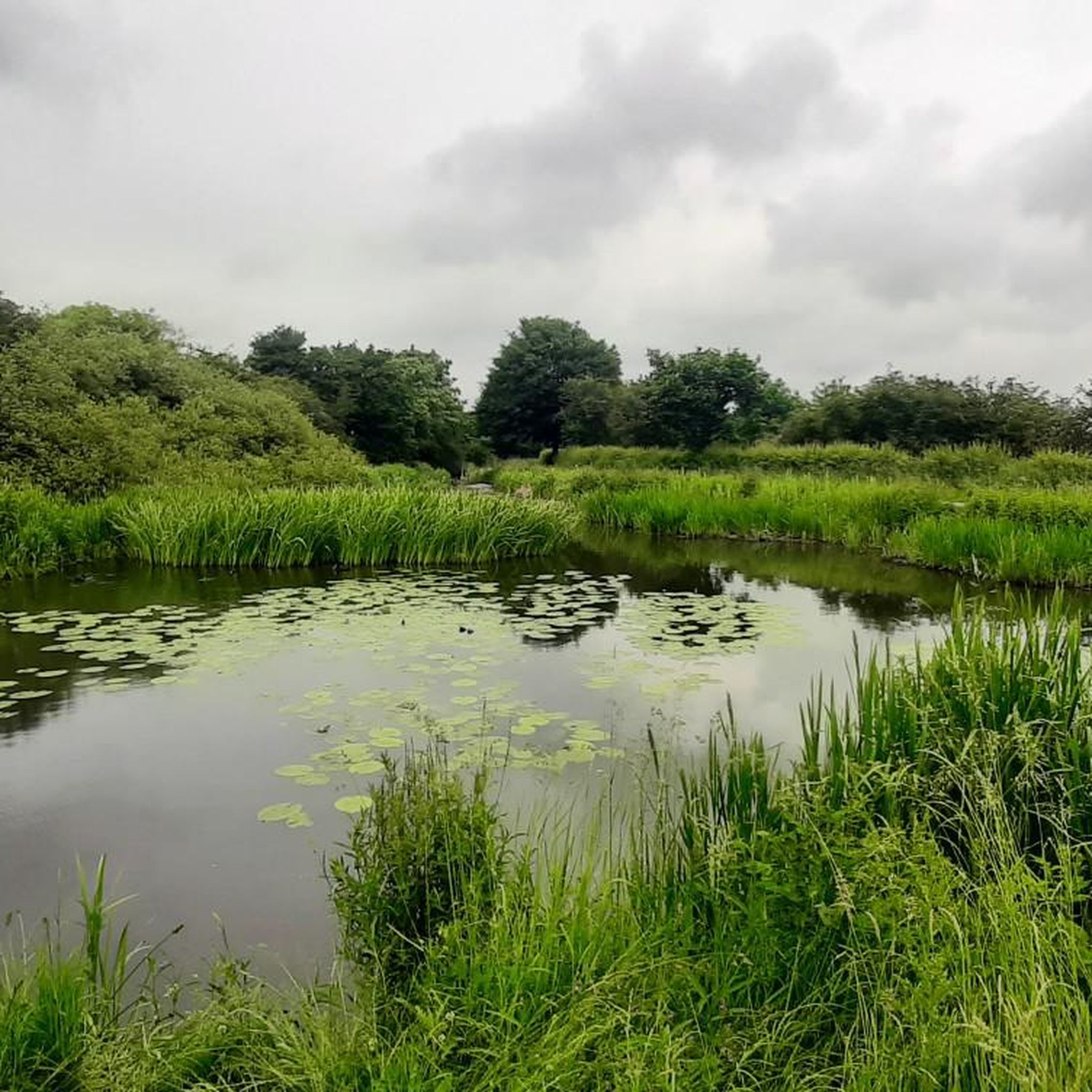
A beautiful, tranquil spot along the Erewash canal towpath. ideal for a snack break!
1
0


Great pit stop for coffee and cake. No indoor seating but plenty of outdoor seating round the back and covered seating with blankets and heaters round the front. Cake is TASTY!
0
0
Great pit stop for coffee and cake. Loads of outdoor seating with some covered areas with blankets and heater. No indoor seating inside shop and cafe.
1
0

Lovely cake and coffee with a covered seating porch to get out of the rain!
0
0
The way passing breamfield lane chair and heading to next stop is closed until March 20 2026. Please be aware and turn to another stop.
1
0
Frequently Asked Questions
How many road cycling routes are available around Strelley?
There are over 750 road cycling routes around Strelley, catering to a wide range of abilities. This includes more than 170 easy routes, nearly 500 moderate routes, and over 80 difficult routes for experienced cyclists.
What kind of terrain can I expect on road cycling routes near Strelley?
Road cycling routes around Strelley offer a varied landscape. You'll find scenic countryside with well-paved surfaces and undulating terrain. The area features a mix of gentle stretches along canals and reservoirs, alongside more challenging climbs through woodlands and hills. Nottinghamshire as a whole provides over 650 miles of diverse cycle routes.
Are there any challenging road cycling routes for experienced riders?
Yes, Strelley offers routes with significant climbs and longer distances for experienced cyclists. For example, the Longcliffe Descent – Carsington Water loop from Ilkeston is a difficult route covering nearly 97 km with almost 1000 meters of elevation gain.
Are there easier road cycling routes suitable for beginners or a relaxed ride?
Yes, the region has many options for easier rides. The terrain around Strelley includes flat, accessible canal paths, such as sections of the Nottingham Canal, which are ideal for a relaxed outing. While specific easy road cycling routes are not highlighted in the top routes, the guide indicates over 170 easy routes are available in the area.
What interesting landmarks or natural features can I see while cycling around Strelley?
Cycling around Strelley allows you to explore a rich tapestry of sights. You might pass through the historic Strelley Village with its 13th-century All Saints Church, or near the impressive Bennerley Viaduct. Natural features include tranquil reservoirs like Mapperley Reservoir, woodlands, and rolling farmland. The Nottingham Canal is also a recurring element in many routes, providing peaceful sections. Other nearby attractions include Attenborough Nature Reserve and Dale Abbey Arch.
What do other cyclists say about road cycling in Strelley?
The road cycling routes in Strelley are highly rated by the komoot community, with an average score of 4.4 stars from over 300 reviews. Cyclists often praise the varied terrain, from flat sections along canals to challenging ascents through woodlands, and the well-maintained surfaces.
Is Strelley well-connected by public transport for cyclists?
While specific public transport links directly to trailheads are not detailed, Nottinghamshire as a whole has an extensive network. For general cycling information and planning your journey, you may find resources on the Nottinghamshire County Council website helpful: nottinghamshire.gov.uk.
Where can I find parking for road cycling routes in Strelley?
Specific parking locations for individual routes are not provided in the guide. However, as Strelley is a village, local parking options may be available. For routes starting from nearby towns like Ilkeston, public parking facilities would typically be available. It's advisable to check local parking regulations before your visit.
Are there any cafes or pubs along the road cycling routes in Strelley?
Yes, the area around Strelley offers amenities for cyclists. For instance, the Belper Lane End Climb – Holly Bush Inn loop from Ilkeston specifically mentions the Holly Bush Inn, suggesting it's a known stop. Additionally, the Nutbrook Coffee Shop is listed as a nearby attraction, providing a potential refreshment stop.
What is the best time of year for road cycling in Strelley?
The region's diverse terrain makes it enjoyable across different seasons. Spring and autumn offer pleasant temperatures and beautiful scenery with changing foliage. Summer is ideal for longer rides, while winter cycling is possible, though conditions may vary. Always check local weather forecasts before heading out.
Can I find circular road cycling routes around Strelley?
Yes, many of the road cycling routes around Strelley are designed as loops. Examples include the View of Cropston Reservoir – Swithland Reservoir loop from Ilkeston and the Descent to Shottle – Alport Heights Summit loop from Ilkeston. These circular routes allow you to start and end at the same point, making logistics easier.
Are there any routes that offer panoramic views?
Absolutely. The Descent to Shottle – Alport Heights Summit loop from Ilkeston is specifically noted for its panoramic views from Alport Heights. Additionally, routes passing by reservoirs like Cropston and Swithland offer extensive scenic vistas of the region's natural beauty.
Most popular attractions around Strelley

Get inspired with the komoot mobile app


Explore more
Browse the best Road cycling routes in other regions.
