4.6
(14692)
143,371
hikers
1,656
hikes
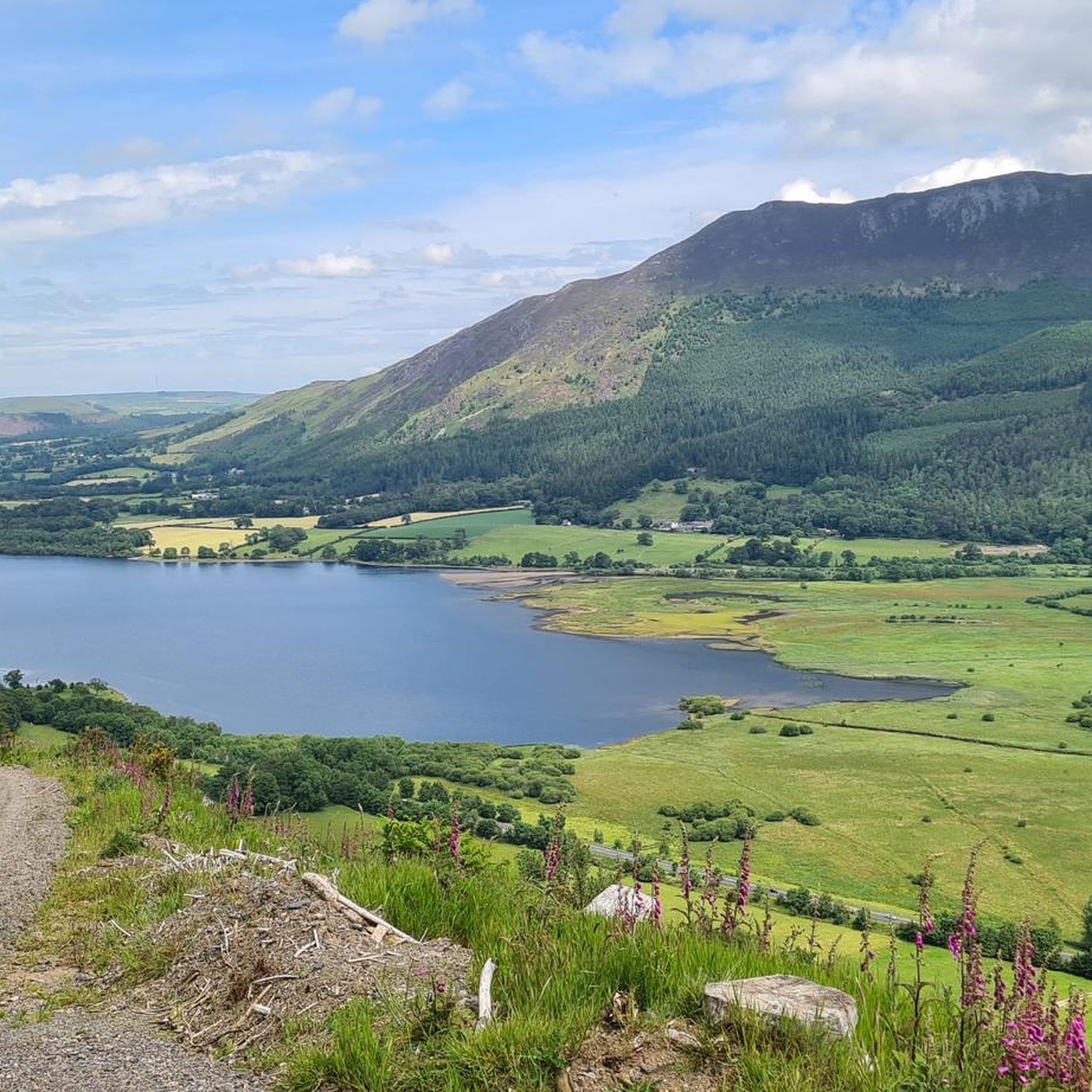
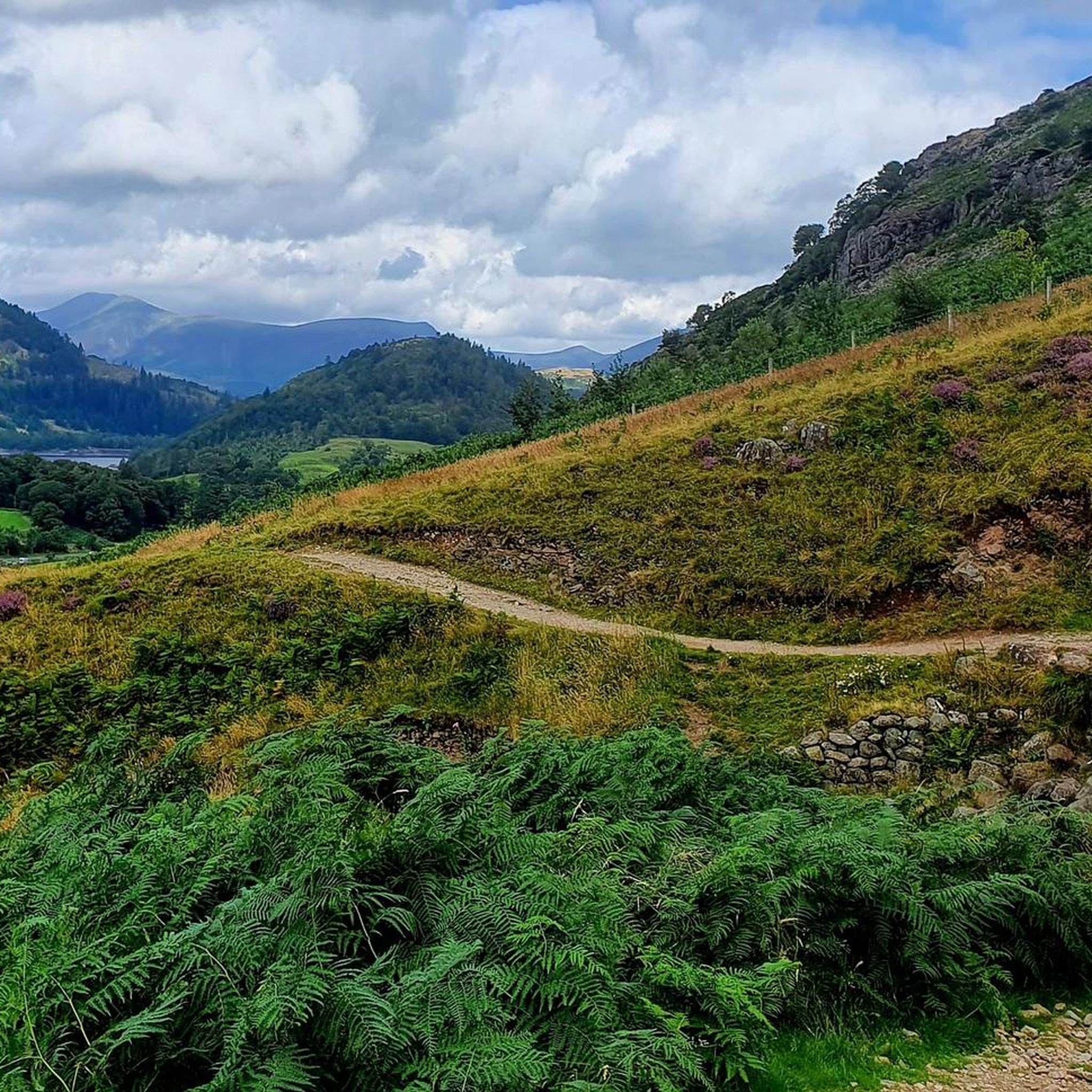
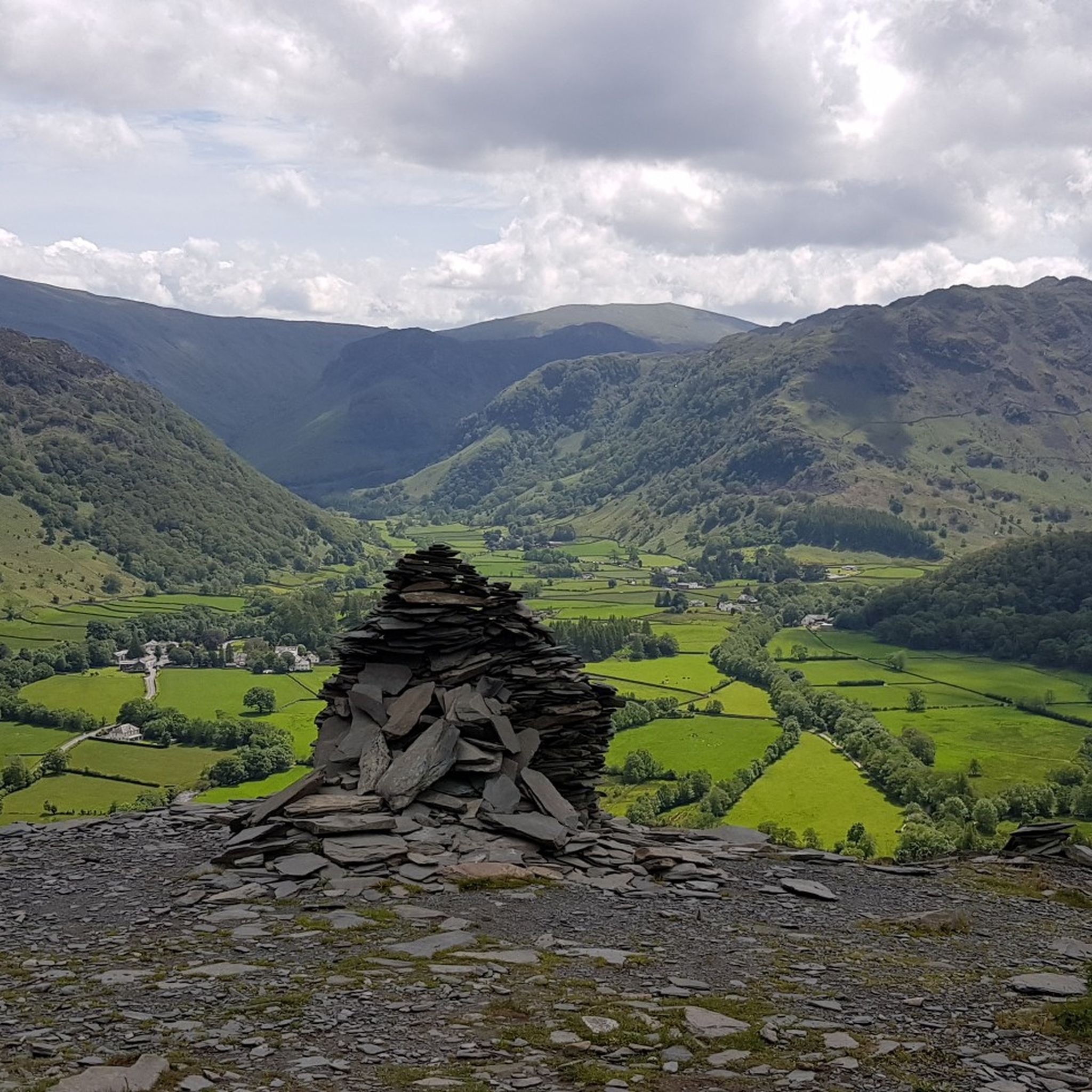
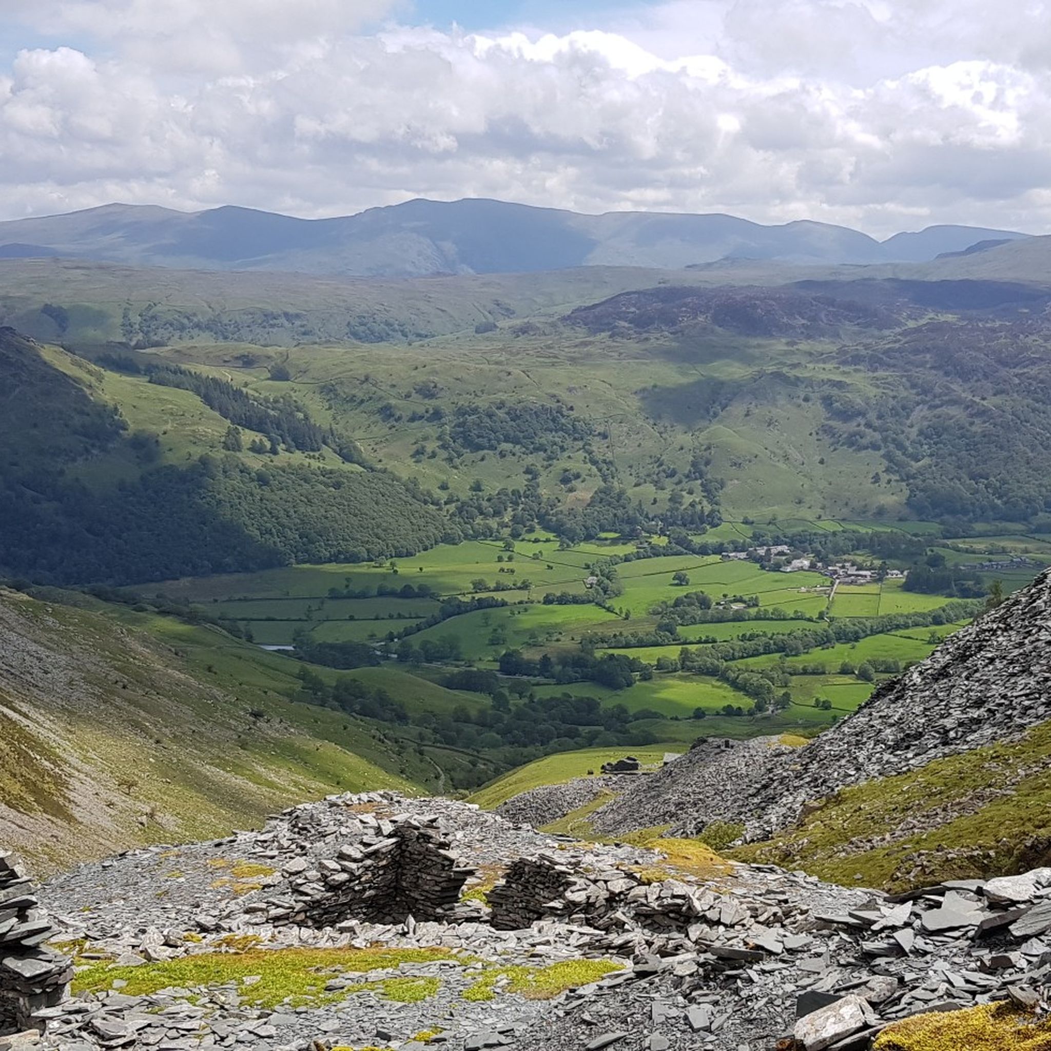
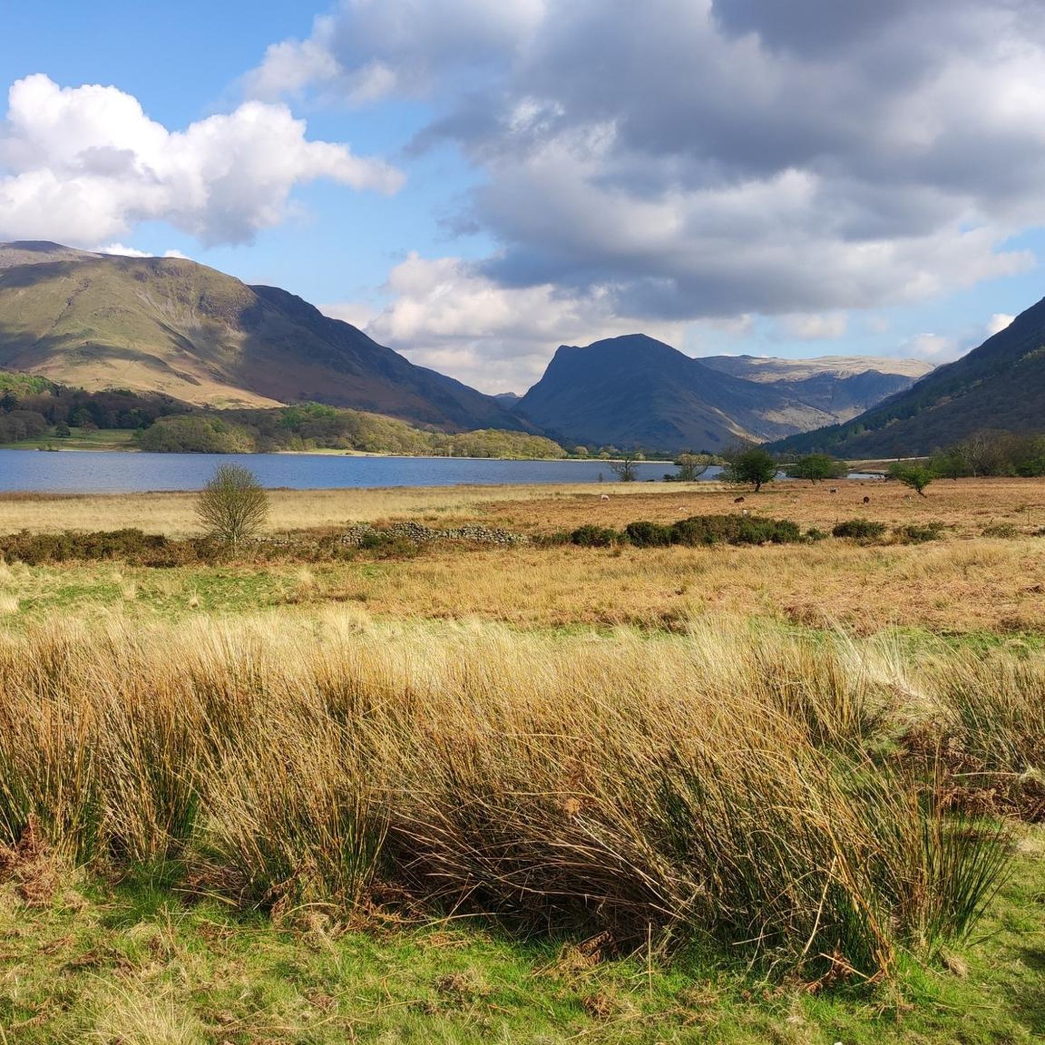
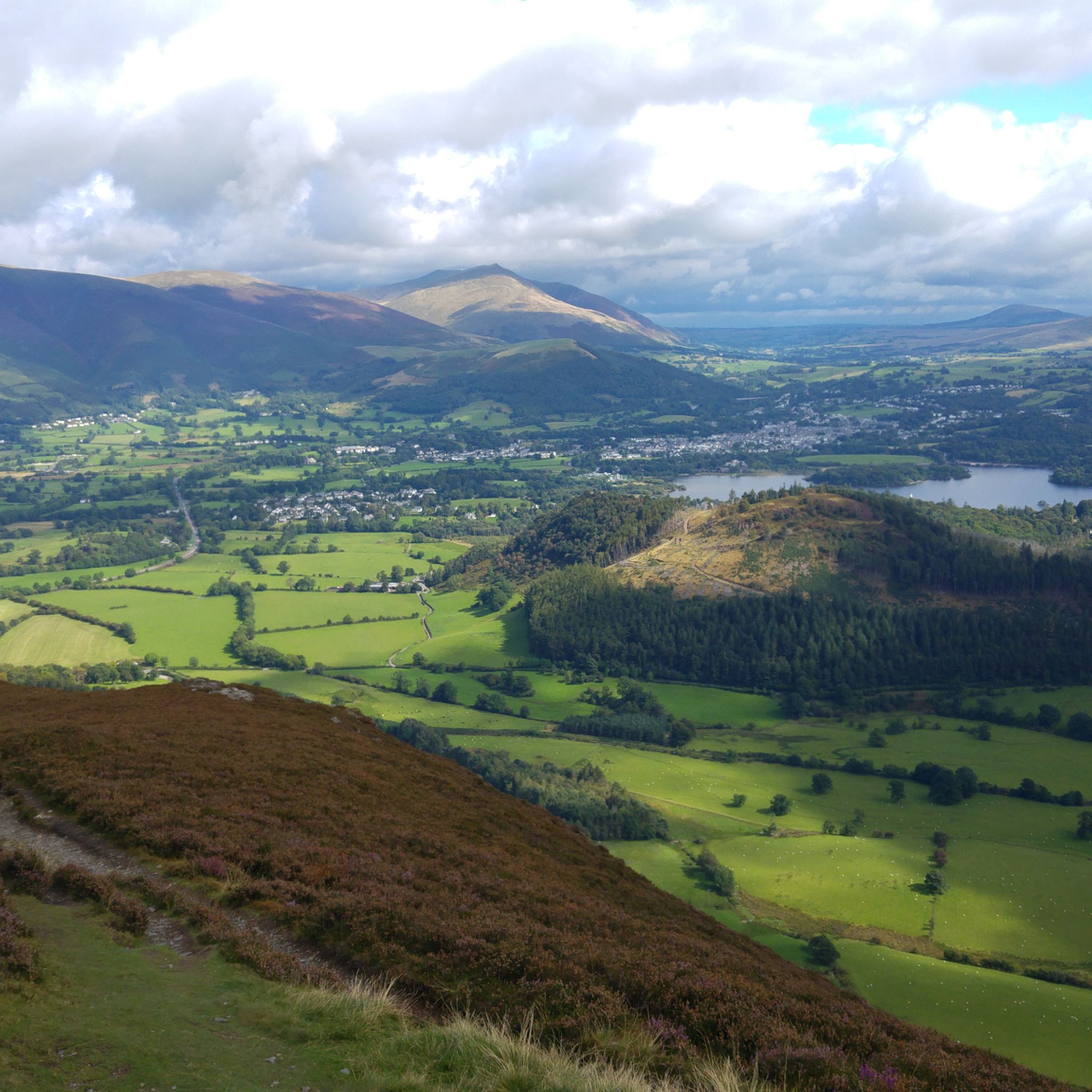
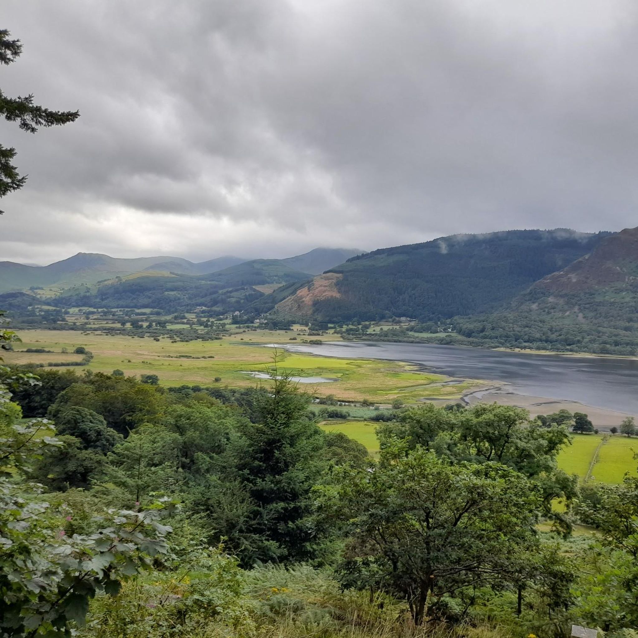
Hikes around Allerdale feature a landscape of fells, lakes, and coastline within Cumbria. A large part of the district is in the Lake District National Park, characterized by peaks like Skiddaw and lakes such as Derwent Water and Buttermere. The terrain transitions to the low-lying Solway Coast, an Area of Outstanding Natural Beauty, offering a mix of coastal plains and salt marshes.
Last updated: June 23, 2026
4.8
(500)
4,888
hikers
7.81km
02:03
60m
60m
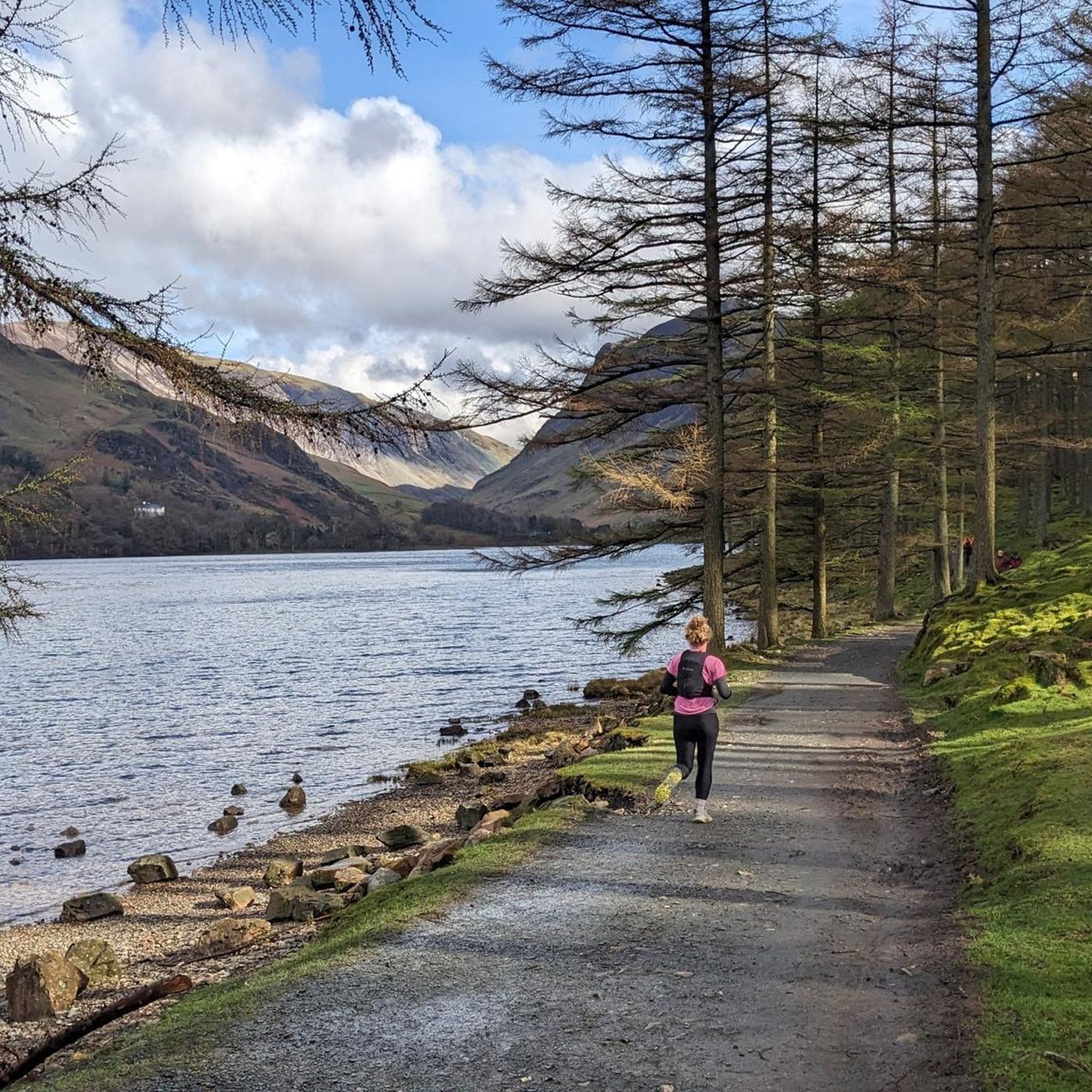
Imagine hiking the Buttermere loop, a moderate trail that takes you around the tranquil waters of Buttermere Lake. This 4.9-mile (7.8 km) hike, with a gentle 205 feet (63 metres) of elevation gain, offers continuous views of the surrounding fells reflected in the water. You can expect to complete the route in about 2 hours and 3 minutes, enjoying the peaceful atmosphere as you pass through open fields and the quiet Burtness Wood. The path offers a chance to see iconic peaks like Haystacks and Fleetwith Pike from a different perspective. It's a perfect way to immerse yourself in the Lake District's natural beauty without strenuous climbing.
The village of Buttermere is your ideal starting point for this circular hike, offering convenient parking options, as well as places to grab a meal or a drink before or after your adventure. Be prepared for varied terrain; some sections of the trail can be rocky or muddy, especially if it has rained recently, so make sure you wear appropriate footwear. If you plan to go through the Hassness Tunnel, consider bringing a torch, as it can be quite dark and damp inside. Starting earlier in the day often provides the best conditions and fewer crowds.
This route stands out for its unique blend of lakeside serenity and dramatic mountain backdrops, making it a favorite in the Lake District National Park. As you follow the path, you will experience the distinct character of Burtness Wood and the intriguing Hassness Tunnel, which adds an element of adventure to your journey. The continuous views of the water reflecting the fells create a memorable visual experience that sets this loop apart from other trails in the region.
4.7
(470)
3,808
hikers
17.3km
04:45
260m
260m
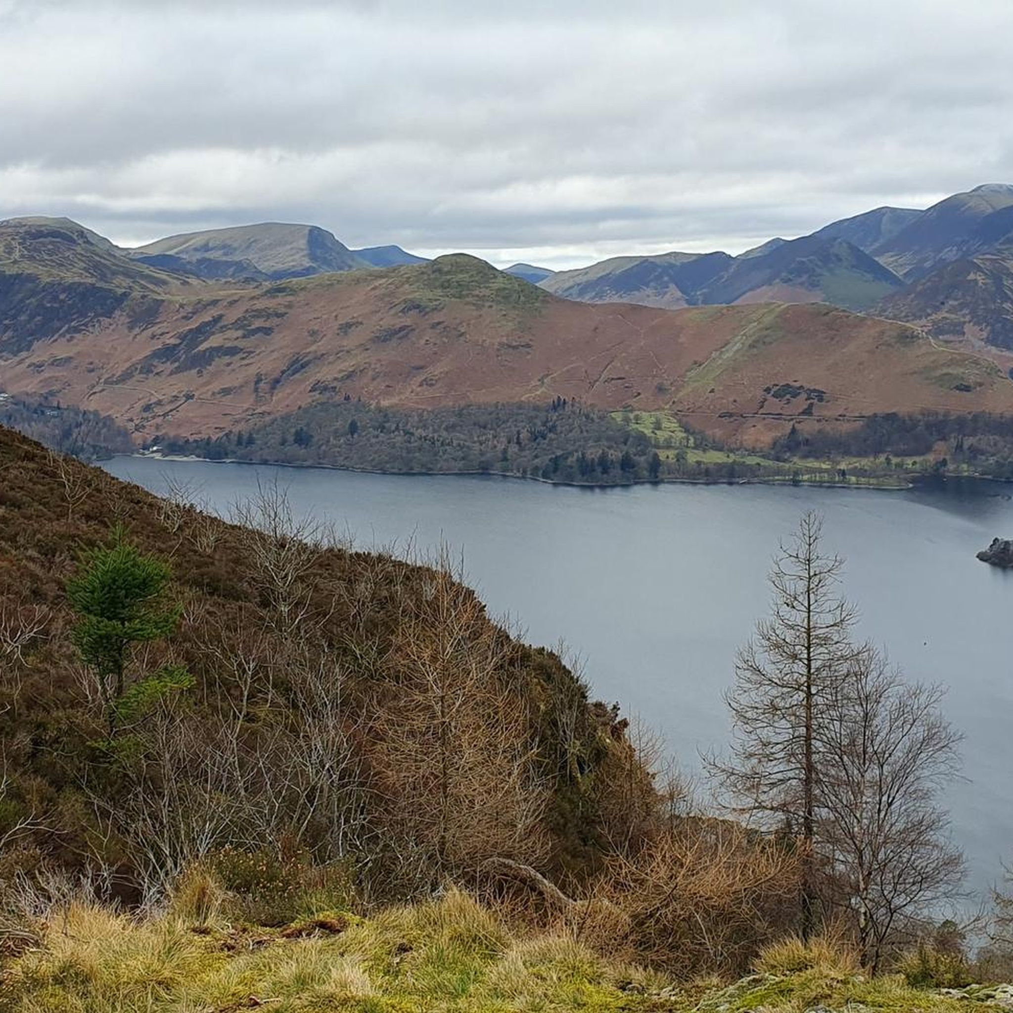
Embark on a moderate hike around Derwent Water from Keswick, a journey that covers 10.7 miles (17.3 km) with an elevation gain of 856 feet (261 metres). This loop typically takes around 4 hours and 45 minutes to complete. You will find varied terrain, including well-maintained gravel paths, boardwalks through marshy areas, and sections winding through ancient woodlands. As you walk, you will enjoy expansive views of Derwent Water, its islands, and the surrounding fells, with the dramatic backdrop of Cat Bells often in sight.
Planning your visit is straightforward, as the route is easily accessible from Keswick. The path is largely waymarked, making navigation simple. If you wish to shorten your walk, you can combine sections of the trail with a trip on the Keswick Launch boat service, which has multiple landing stages around the lake. Buses also serve various points, offering additional flexibility for your day out. The trail's newly constructed bridges and raised paths mean it is often viable even in wetter conditions.
This trail is notable for offering some of the Lake District's most iconic views, such as those from Friar's Crag, which famously inspired writer John Ruskin. The route provides a wide range of experiences, from gentle lakeside strolls to options for more challenging fell climbs if you choose to extend your adventure. Along the way, you will encounter interesting features like the Chinese Bridge and several jetties, passing through areas rich in flora and wildlife cared for by the National Trust.

Sign up for free
4.9
(365)
1,829
hikers
7.09km
02:27
360m
360m
Embark on the Cat Bells & Derwent Water loop, a moderate hike covering 4.4 miles (7.1 km) with an elevation gain of 1177 feet (359 metres), typically completed in 2 hours and 26 minutes. This popular route offers a varied terrain, starting with well-trodden paths before a steep ascent up Cat Bells, which involves some minor rocky sections requiring you to use your hands for balance. From the summit, you are rewarded with incredible 360-degree panoramas of Derwent Water, Keswick, and surrounding fells like Skiddaw. The trail then descends to gentler paths, including the Allerdale Ramble, winding along the lake's lower slopes and through peaceful woodlands.
For this rewarding loop, proper grippy walking shoes or boots are highly recommended, especially since sections can be slippery when wet. The trail is generally considered easy to moderate, making it manageable for most walkers, including beginners and families new to fell walking. While the classic route is around 3.5 miles, this specific Komoot route offers a slightly longer experience. You will find the area to be quite popular, so expect company on the paths, particularly during peak seasons.
Cat Bells is an iconic and beloved fell in the Lake District, known for its accessibility and for offering some of the most spectacular and comprehensive views despite its modest height. It serves as an excellent introduction to fell walking, providing a taste of the region's mountainous terrain without being overly technical or strenuous. The lakeside portions of the loop offer serene views across the water, often with opportunities to see islands like Rampsholme Island and Derwent Isle, adding to the diverse scenery of this memorable hike.
4.8
(247)
1,118
hikers
Embark on the Derwent Water & Walla Crag loop from Keswick, a moderate hike spanning 5.2 miles (8.4 km) with an elevation gain of 944 feet (288 metres), typically completed in 2 hours and 37 minutes. This route offers a diverse experience, winding through forested areas with cobbled paths and tree roots, transitioning to grassy tracks and dirt trails. You will encounter steep and rough sections, particularly on the ascent to Walla Crag, which rewards you with expansive views of Derwent Water, its islands, and surrounding fells like Cat Bells and Skiddaw. The return leg along the lakeshore provides a gentler, flatter finish to your walk.
Starting from Keswick, this accessible loop is a great option for a comprehensive Lake District experience, blending woodland, fellside, and lakeside environments. Due to the varied and sometimes challenging terrain, including potentially boggy sections after rain, sturdy walking boots are highly recommended for your comfort and safety. While generally considered moderate, some parts can be strenuous, so plan your visit during suitable weather conditions to fully enjoy the panoramic vistas.
The trail is particularly notable for its exceptional viewpoints, with Walla Crag offering one of the Lake District's finest panoramas, extending to Bassenthwaite Lake and even distant Scottish hills on clear days. You will also pass the iconic Ashness Bridge, a classic stone-built packhorse bridge perfect for photographs. Historically, Lady's Rake, a narrow cleft in Walla Crag, is linked to the Countess of Derwentwater's escape during the Jacobite Uprising, adding a layer of local lore to your journey.
4.8
(153)
1,110
hikers
14.3km
04:20
410m
420m
The Derwent Water Ferry & Catbells loop from Keswick offers a moderate hiking experience, covering 8.9 miles (14.3 km) with an elevation gain of 1358 feet (414 metres). You can expect to complete this diverse route in about 4 hours and 19 minutes. As you hike, you will encounter varied terrain, from easy paths along the lakeside to rocky steps and minor scrambling as you approach the summit of Catbells. The highlight is the expansive 360-degree views from Catbells Summit, where you can see Derwent Water, Keswick, and the surrounding fells. The trail also winds through peaceful woodlands and along picturesque lakeside scenes, providing a classic Lakeland atmosphere.
This route is easily accessible from Keswick, making it a popular choice for hikers. A key part of the experience involves using the Keswick Launch, a ferry service that transports you across Derwent Water to Hawes End Jetty, where the hike begins. This adds a unique element to your day, so factor in ferry times when planning your start. While generally considered beginner-friendly for fell walking, the rockier sections near Catbells require good fitness and sure-footedness. Due to its popularity, especially during peak season, you should plan for potential crowds on the trail.
What sets this particular loop apart is the integration of the scenic Derwent Water ferry ride, transforming a standard hike into a more comprehensive Lakeland adventure. This journey across the water provides a different perspective of the fells before you even begin your ascent. The trail is a fantastic introduction to fell walking for those new to the Lake District, offering significant rewards without extreme technical difficulty. It combines the tranquility of lakeside paths with the exhilaration of a summit climb, all within easy reach of Keswick.
4.8
(81)
895
hikers
14.3km
05:41
930m
910m
The Coledale Horseshoe from Braithwaite is a difficult hiking route that challenges you with 3050 feet (929 metres) of elevation gain. This demanding trail covers 8.9 miles (14.3 km) and typically takes about 5 hours and 40 minutes to complete. You will hike along fells encircling the glacial Coledale valley, enjoying wide panoramic views from summits like Grisedale Pike and Hopegill Head. The experience involves varied terrain, including rough fell paths and steep sections, making it a rewarding full-day adventure for experienced hillwalkers.
Planning your visit requires good fitness and sure-footedness, as you will encounter steep ascents, descents, and rocky steps that may require simple scrambling. Be aware that high-level ridge sections, particularly between Crag Hill and Sail, can become tricky in strong winds. Always check the weather forecast before you go to ensure safe conditions for your hike. This preparation will help you navigate the challenging aspects of the route.
This classic route offers a unique perspective of the Coledale valley below, with vistas extending towards notable landmarks such as Skiddaw, Blencathra, Derwentwater, and Bassenthwaite Lake. As you traverse the fells, you can also spot the historical Force Crag Mine, adding a touch of local history to your journey. The Coledale Horseshoe is a significant highlight for anyone seeking a challenging and scenic hike within the Lake District National Park.
4.6
(91)
687
hikers
16.4km
05:54
880m
890m
Embark on a challenging hike up Skiddaw, England's fourth-highest mountain, on this rewarding loop from Keswick. The trail covers 10.2 miles (16.4 km) with a significant elevation gain of 2900 feet (884 metres), typically taking around 5 hours and 53 minutes to complete. You'll follow a well-trodden, stony path, often called the Jenkin Hill Bridleway, which offers a steady gradient through rounded, grassy slopes. As you ascend, you'll experience diverse terrain and expansive panoramic views, including Borrowdale to the south and the wilder "Back o' Skiddaw" area.
This difficult hike requires good fitness, but its accessibility from Keswick makes it a popular choice. You can start directly from the town center, eliminating the need for a car. Be prepared for potentially cold and windy conditions at the summit, even on milder days in the valley, so bring suitable clothing and sturdy footwear. The route is generally straightforward, but the upper sections are exposed to the elements.
Skiddaw is known as a "gentle giant" among the Lake District's higher peaks, offering a manageable yet significant mountain climb. From the summit, you can enjoy unparalleled 360-degree views of the entire Lake District, including Keswick, Derwentwater, Bassenthwaite Lake, and other major fells. The mountain itself is formed from ancient Skiddaw slate, and a circular stone-built wind shelter from 1876 stands at the top, adding a touch of history to your achievement.
4.3
(101)
707
hikers
8.03km
02:26
260m
260m
The Latrigg loop from Keswick offers a moderate hike of 5.0 miles (8.0 km) with an elevation gain of 845 feet (258 metres), typically taking about 2 hours and 26 minutes to complete. As you hike, you will follow parts of an old railway line path, then ascend through well-surfaced bridleways in woodlands before reaching open fellside. From the summit, you can enjoy wide views over Keswick town, Derwentwater, and the Borrowdale Valley, with the fells of Skiddaw and Catbells visible in the distance. While some sections can be steep for about 500 meters during the ascent, and parts of the descent might be muddy, the paths are largely well-maintained.
This trail is generally considered easy to moderate, making it a good choice for beginners and families. If you prefer a shorter walk or have limited mobility, you can drive to the Gale Road car park, which offers a more accessible path to a viewpoint. This option significantly shortens the route, with only about 80 metres of ascent to the summit from the car park. The full circular walk begins directly from Keswick town centre, providing a convenient starting point for your adventure.
Latrigg is often called
4.7
(89)
585
hikers
14.7km
04:42
590m
590m
Embark on a moderate hiking adventure through the Lake District with the High Seat, Bleaberry Fell and Walla Crag Loop. This route spans 9.1 miles (14.7 km) and involves a significant climb of 1940 feet (591 metres), typically taking around 4 hours and 42 minutes to complete. You will traverse varied landscapes, moving from serene woodlands to expansive open fells. From Walla Crag, you can enjoy panoramic views stretching across Derwentwater and the charming market town of Keswick. As you ascend, the trail reveals broad vistas of the surrounding fells, including the impressive Skiddaw and Helvellyn ranges.
When planning your hike, be aware that the section between Bleaberry Fell and High Seat can become quite boggy, particularly after rainfall. For a more enjoyable experience, consider tackling this part of the route during a prolonged dry spell or when the ground is frozen. It is always advisable to wear waterproof boots to ensure your comfort and safety throughout the journey. Check local weather forecasts before you set out to prepare adequately for conditions on the fells.
This loop offers a classic Lake District experience, allowing you to summit three distinct Wainwrights. The diverse terrain ensures that your hike remains engaging, from the sheltered paths through woodlands to the exposed, sweeping views from the fell tops. It provides a rewarding challenge for hikers seeking both physical exertion and stunning natural beauty in one of England's most iconic national parks.
4.8
(93)
486
hikers
Moderate hike. Good fitness required. Mostly accessible paths. Sure-footedness required.
Get access to more routes and recommendations from other explorers.
Sign up for free
Already have an account?
Our route recommendations are based on thousands of hikes, rides, and runs completed by other people on komoot.
Start today with a free account
Your next adventure awaits.
Login or Signup
Both decent options between Skiddaw South Top and Skiddaw, south west heading towards Carl Side, require sure footedness and appear rather treacherous as you head off the top down the scree.
1
0
Distinct from Skiddaw this is another small summit in the bag, topped with a sculpture made from scavenged iron and steel pieces.
0
0
Skiddaw is frequently dismissed as dull and featureless. In the right conditions however, its (comparitively) smooth contours appear to soften the harsh, bleak summit plateau. The boundary between land and sky starts to become less distinct and it takes on an eerie stillness.
1
0
Yes, Allerdale has many options for families. For a gentle walk with lovely scenery, the Buttermere loop is a great choice. It's a relatively flat, 4.9-mile (7.8 km) path around the lake. Another popular option near Keswick is the Latrigg loop, which offers fantastic views for a modest amount of climbing.
For experienced hikers looking for a strenuous day in the fells, the Coledale Horseshoe from Braithwaite is an excellent challenge. This 8.9-mile (14.3 km) route involves significant elevation gain, summiting multiple peaks and rewarding you with spectacular panoramic views.
Dogs are widely welcomed on trails throughout Allerdale. However, you'll be hiking through areas with livestock, especially sheep. It's essential to keep your dog on a lead and under control at all times to ensure the safety of the animals and your pet. Always check for specific restrictions, particularly during lambing season in the spring.
For stunning, panoramic views over Keswick and Derwent Water, the hike to Walla Crag is a local favorite. While many trails offer great scenery, the viewpoint from Walla Crag is particularly celebrated and accessible without the difficulty of a major peak ascent.
Yes, the varied landscape of Allerdale includes some beautiful waterfalls. While hiking in the Borrowdale valley, you can discover cascades like Holme Force. The High Seat, Walla Crag & Castlehead loop passes near several gills and forces, adding to the scenic beauty of the walk.
Yes, many popular trailheads, especially around Keswick, are accessible via public transport. Bus services connect major towns to villages like Braithwaite, Seatoller, and Buttermere, which are starting points for numerous hikes. Using the bus can be a great way to do linear walks without worrying about returning to a car park.
Parking can be limited, especially during peak season and on weekends. Popular trailheads near Keswick, Buttermere, and in the Borrowdale valley have pay-and-display car parks, including some run by the National Trust. It's highly recommended to arrive early to secure a spot or consider using public transport as an alternative.
The weather in the Lake District can change very quickly, even on a sunny day. Essential items include:
Allerdale offers fantastic opportunities for wildlife enthusiasts. For birdwatching, the Solway Coast AONB is a must-visit, with its salt marshes and estuaries attracting numerous species. For a different experience, the Dubwath Silver Meadows Nature Reserve is a highly-regarded spot for observing birds, butterflies, and other insects in a wetland habitat.
Absolutely. Many of the most popular hikes in the region are circular routes, allowing you to start and finish in the same place without retracing your steps. Great examples include the Derwent Water loop from Keswick and the Castle Crag Borrowdale loop, both offering varied scenery on a round trip.
There are over 1,600 hiking routes to explore in Allerdale on komoot. They range from easy lakeside strolls and coastal paths to moderate fell walks and difficult mountain ascents, offering something for every fitness and experience level.
The region is highly rated by the komoot community, with an average score of 4.6 stars. Hikers often praise the incredible diversity of the landscape, from the dramatic views atop the fells like Skiddaw and Catbells to the serene beauty of lakeside paths around Derwent Water and Buttermere.


Check out more Hikes throughout Allerdale below and find the perfect route in your destination.
Browse the best Hikes in other regions.