Waldkirchen an der Thaya
Waldkirchen an der Thaya
The best road cycling routes around Waldkirchen an der Thaya
4.6
(15)
540
riders
42
rides
Road cycling routes around Waldkirchen an der Thaya are set within the tranquil Thaya Valley, characterized by its location on the border with the Czech Republic in the Waldviertel region. The landscape features rolling hills, expansive fields, and extensive coniferous forests, providing a scenic backdrop for cycling. The Thaya River flows through the area, with parts of the cycling routes running alongside it, offering waterside views. This region offers a natural setting for road cycling.
Best road cycling routes around…
Last updated: July 2, 2026
4.0
(2)
96
riders
Easy road ride. Great for any fitness level. Mostly well-paved surfaces and easy to ride.
14
riders
50.2km
02:15
350m
350m
Moderate road ride. Good fitness required. Some segments of this route may be unpaved and difficult to ride.

Sign up for free
9
riders
62.1km
03:41
910m
900m
Hard road ride. Very good fitness required. Some segments of this route may be unpaved and difficult to ride.
7
riders
73.3km
03:16
750m
750m
Moderate road ride. Good fitness required. Mostly well-paved surfaces and easy to ride.
5.0
(2)
8
riders
41.2km
01:57
440m
440m
Moderate road ride. Good fitness required. Some segments of this route may be unpaved and difficult to ride.
Get access to more routes and recommendations from other explorers.
Sign up for free
Already have an account?
Our route recommendations are based on thousands of hikes, rides, and runs completed by other people on komoot.
Start today with a free account
Your next adventure awaits.
Login or Signup
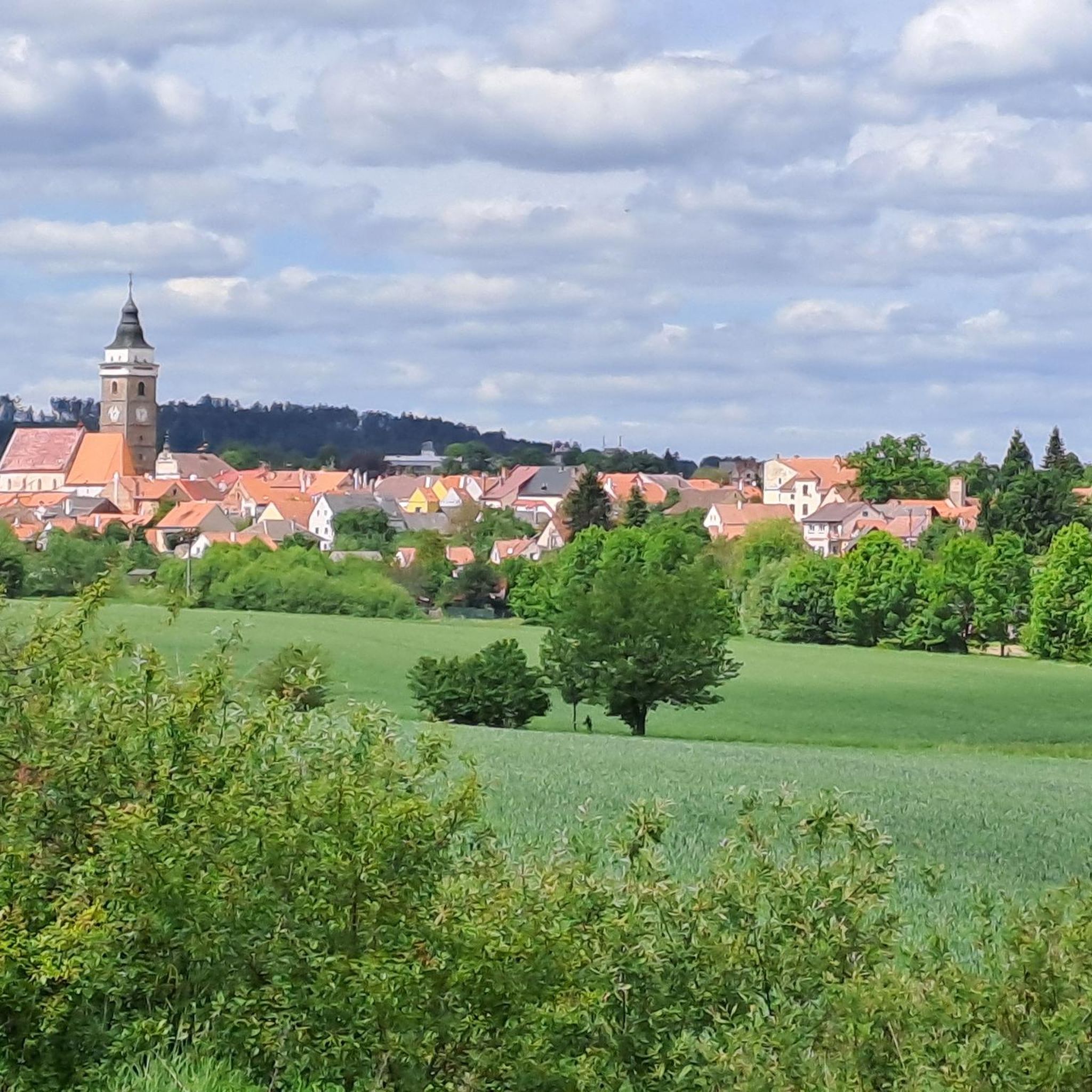
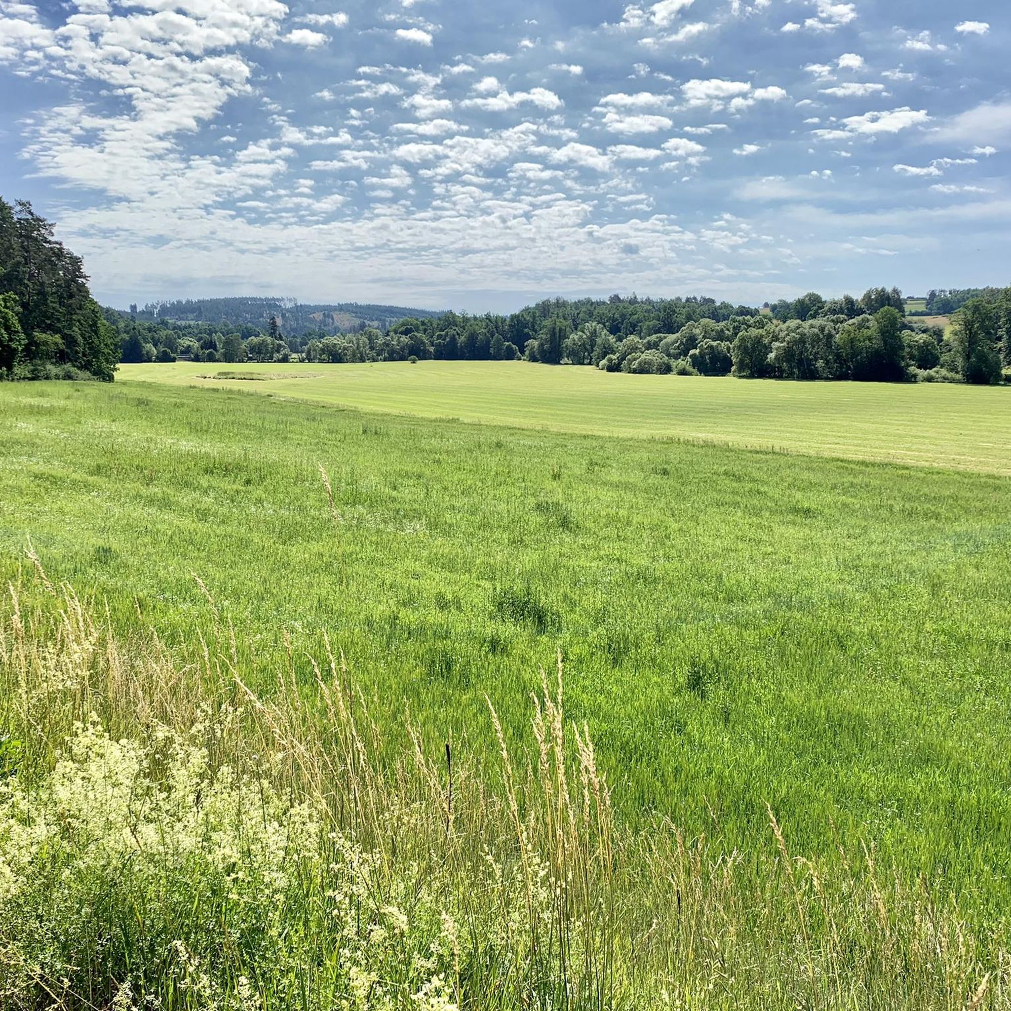
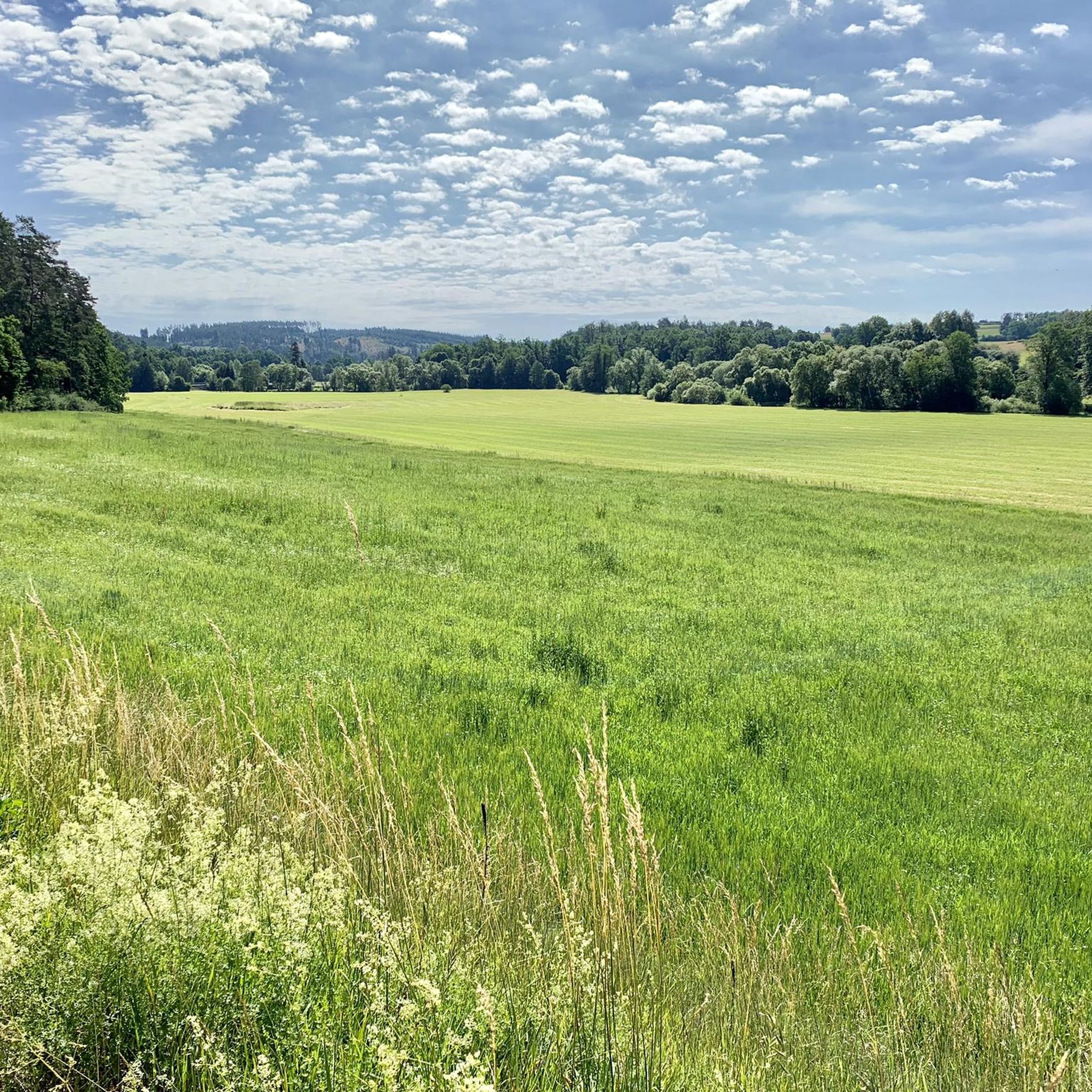
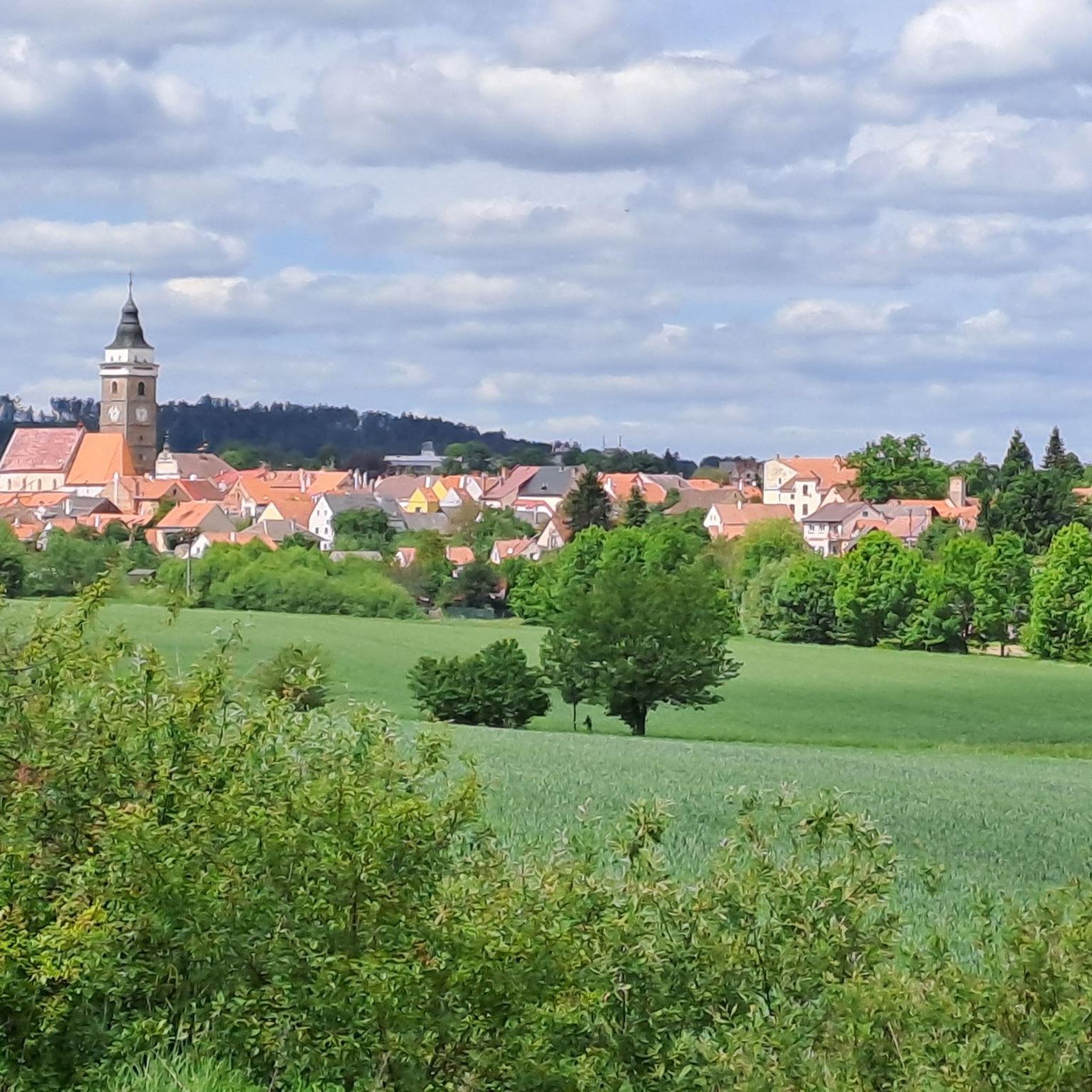
Tips from the Community

You can also stay overnight here, even with breakfast if I remember correctly. Surely a nice experience for the whole family.
0
0

Crosses were erected to commemorate an important event or to confirm religious commitment. They were built in gratitude for being saved from death, or for receiving a grace. They also served as boundary markers that marked the end and beginning of a village, or as signposts. Crosses are made from various raw materials. An example is crosses with Christ cut out of sheet metal. They were mainly created in the period from the second half of the 19th century to the middle of the 20th century.
0
0

Take a break at the main square in Waidhofen/Thaya. Enjoy a short stroll along the southern promenade or treat yourself to an ice cream or coffee at one of the pastry shops in Böhmgasse or Niederleutnerstraße.
0
0
This bridge brings you closer to the nostalgia of the former Thayatal railway.
0
0

Karlstein was first mentioned in 1112 as "Chadelstain." As a fiefdom, Karlstein belonged to the respective territorial princes, who granted this rule to knightly families, although no continuous dynasty established itself here. Since the castle was never owned by a single family for an extended period, it was continually rebuilt and expanded. Practically nothing remains of the original castle. In the following centuries, the border region was repeatedly raided by enemy armies (Ottokar, Hussites, Matthias Corvinus). After the suppression of the Peasants' Revolt in 1597, the leader, Andreas Schrembser, was presumably imprisoned in Karlstein Castle. In 1645, the Swedes besieged Karlstein Castle in vain. In 1663, it served as a refuge during the Turkish threat. In 1914, an internment camp was established in the castle, despite it being uninhabitable. The Montenegrin General Staff was also imprisoned there. After the war, the Hungarian communist leader Béla Kun was interned here. Later, the castle was used as a youth hostel, and in the 1960s, it also served as a guesthouse. The castle is now privately owned and no longer open to the public.
0
0

A lovingly maintained castle ruin in the middle of the Waldviertel Kamp landscape
1
0

Frequently Asked Questions
How many road cycling routes are available in Waldkirchen an der Thaya?
There are over 40 road cycling routes around Waldkirchen an der Thaya, offering a wide range of options for different skill levels. You'll find everything from easy rides to more challenging tours through the scenic Waldviertel region.
What is the best time of year for road cycling in Waldkirchen an der Thaya?
The region is particularly appealing during spring, summer, and early autumn. The tranquil natural setting, rolling hills, and extensive forests provide a refreshing environment, making it ideal for outdoor activities when the weather is mild.
What natural features can I expect to see while road cycling in Waldkirchen an der Thaya?
Road cycling routes often follow the Thaya River, offering pleasant waterside views. You'll also pass through expansive fields and extensive coniferous forests. A notable natural attraction is the large Sauteich, an idyllic natural swimming pond amidst green landscapes, which is a popular spot in summer.
Are there any historical landmarks or points of interest along the road cycling routes?
Yes, the region is rich in history. You might encounter historical railway sights, such as old railway carriages near the Waldkirchen station area and railway bridges crossing the Thaya. Additionally, you can explore cultural sites like the Museum Humanum, which bridges Austrian and Czech cultures, and the Romanesque and Baroque Parish Church of Waldkirchen.
Can I find any castles along the road cycling routes?
Absolutely. The area around Waldkirchen an der Thaya features several historical castles. You could encounter landmarks such as Karlstein Castle, Landstein Castle, or Raabs an der Thaya Castle, adding a historical dimension to your ride.
Are there any circular road cycling routes around Waldkirchen an der Thaya?
Yes, many routes in the area are designed as loops, allowing you to start and end in the same location. For example, the Thaya Bridge on the Thaya Cycle Path – Thayatal Cycle Path loop from Waldkirchen an der Thaya is a popular circular option that follows the Thaya Cycle Path.
Is there parking available for road cyclists in Waldkirchen an der Thaya?
Yes, Waldkirchen an der Thaya is well-equipped for visitors. You'll find various parking options within the village, especially near the starting points of popular cycling routes, making it convenient to begin your tour.
Are the road cycling routes in Waldkirchen an der Thaya suitable for families?
The region offers routes suitable for various abilities. The Thayarunde cycling route, for instance, includes stages that are entirely asphalted with no significant gradients, making them particularly suitable for an easy and enjoyable ride for families or beginners. An example is the Thaya Bridge on the Thaya Cycle Path – Thayatal Cycle Path loop from Waldkirchen an der Thaya.
What is the general difficulty level of road cycling routes in this region?
The road cycling routes around Waldkirchen an der Thaya cater to a range of abilities. While the landscape features rolling hills, you can find routes with minimal elevation gain for an easier ride, as well as more moderate options that traverse varied terrain. Out of 44 routes, 42 are rated as moderate, with one easy and one difficult option.
What do other road cyclists appreciate about the routes in Waldkirchen an der Thaya?
The routes in Waldkirchen an der Thaya are highly rated by the komoot community, with an average score of 4.7 stars. Reviewers often praise the tranquil natural setting, the scenic backdrop of rolling hills and forests, and the well-maintained paths, especially those along the Thaya River.
Are there any routes with minimal elevation gain, suitable for an easier ride?
Yes, the Thayarunde cycling route is known for its flat sections. One stage, approximately 30 kilometers long, is entirely asphalted with no significant gradients, making it ideal for those seeking an easier ride. The Thaya Bridge on the Thaya Cycle Path – Thayatal Cycle Path loop from Waldkirchen an der Thaya is an example of a route with moderate elevation gain (around 200m over 40km).
Where can I find refreshments or places to stop along the routes?
Waldkirchen an der Thaya and the surrounding villages offer various amenities. You'll find cafes and pubs where you can take a break and refuel. The region's focus on quiet and nature-oriented tourism ensures a welcoming environment for cyclists.
Most popular attractions around Waldkirchen an der Thaya

Get inspired with the komoot mobile app


Explore more
Browse the best Road cycling routes in other regions.
