The best walks and hikes around Uttlesford
4.6
(458)
2,917
hikers
436
hikes
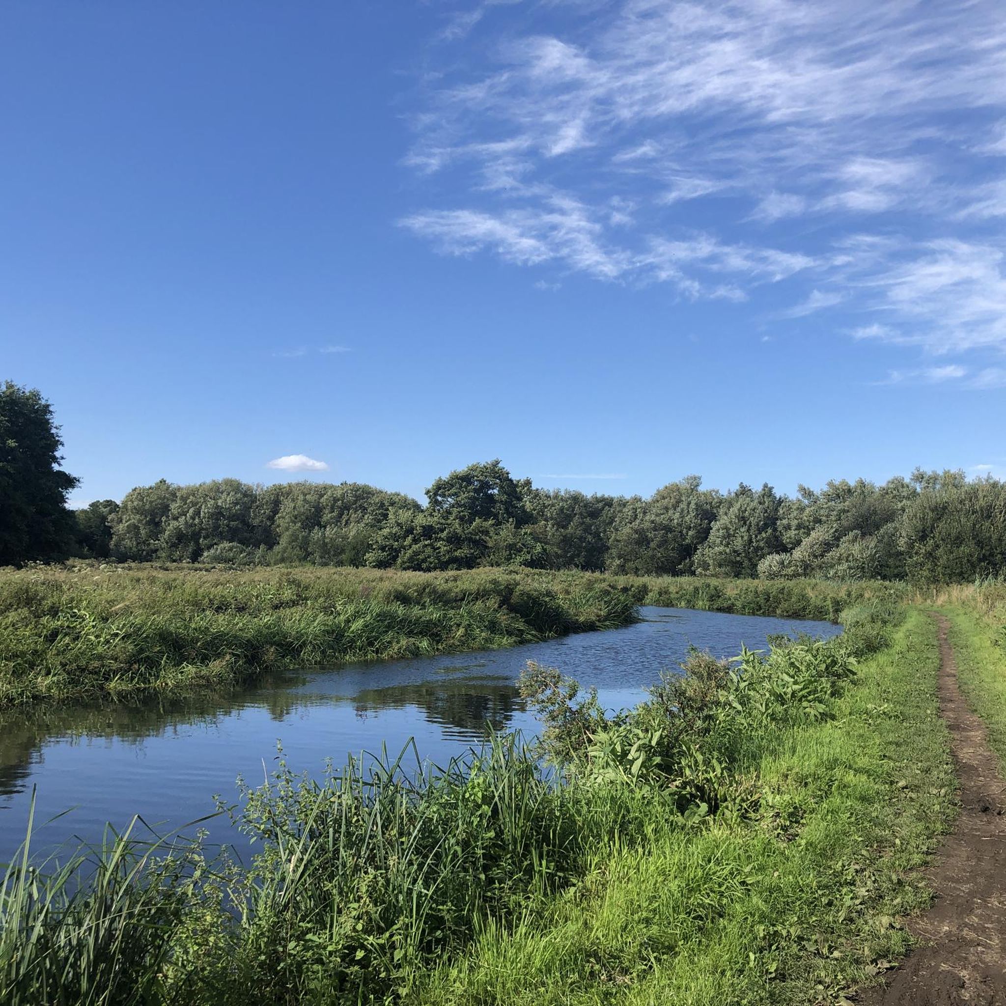
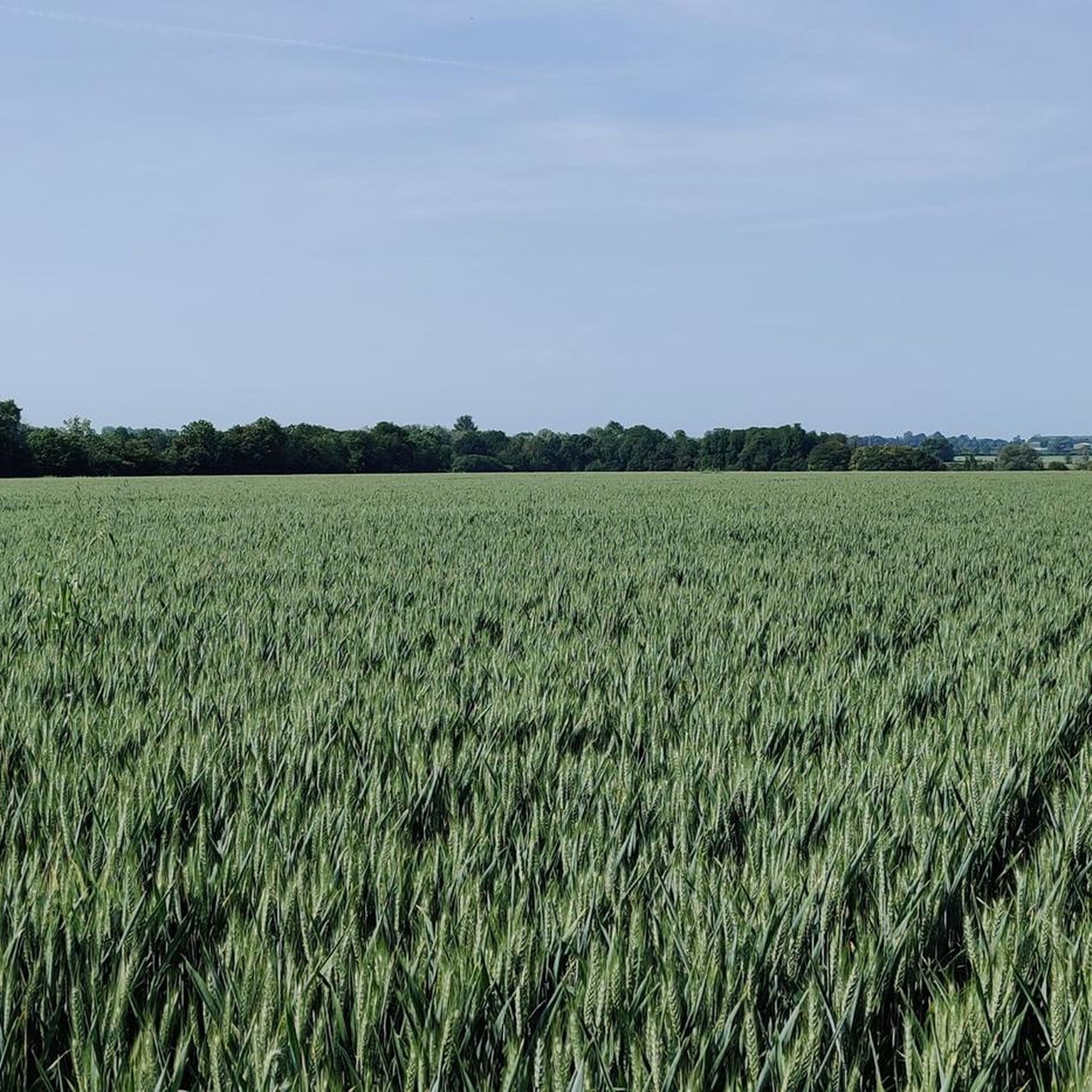
Hiking trails around Uttlesford traverse a diverse rural English landscape, characterized by extensive woodlands, meandering rivers, and rolling hills. The region features a mix of open meadows, ancient forests, and waterways like the River Chelmer and River Stort. While not mountainous, Uttlesford offers modest hills that provide pleasant climbs and views across the countryside. This varied terrain ensures a range of hiking experiences for different abilities.
Best hiking trails around Uttlesford
- The most popular hiking route is Stebbing, Little Dunmow and the Fitch Way from Great Dunmow, a 10.2 miles (16.4 km) trail that takes 4 hours 17 minutes to complete, following parts of the historic Flitch Way.
- Another top favourite among local hikers is Widdington & Wicken Bonhunt loop from Newport, a difficult 13.3 miles (21.3 km) path offering varied terrain and scenic village views.
- Local hikers also love the Rowney Wood loop from Wimbish, a 3.0 miles (4.8 km) trail leading through wooded areas, often completed in about 1 hour 14 minutes.
- Hiking around Uttlesford is defined by ancient woodlands, extensive field views, and riverside paths, with a network of routes offering options for different ability levels.
- The routes in Uttlesford are highly rated by the komoot community with an average score of 4.6 stars from over 400 reviews. More than 2,800 hikers have used komoot to explore Uttlesford's varied terrain.
Last updated: October 16, 2026
3.0
(1)
18
hikers
16.4km
04:17
130m
130m
Embark on a varied hiking adventure along the Stebbing, Little Dunmow and the Fitch Way from Great Dunmow, a moderate 10.2-mile (16.4 km) route that takes approximately 4 hours and 17 minutes to complete. You'll experience a blend of flat, well-surfaced paths on the historic Flitch Way, a former railway line, and more traditional footpaths and byways through rural Essex. As you hike, you'll pass through diverse countryside, enjoying views across farmlands, sections with trees overhead, and potentially spotting wildlife like deer and red kites. The route includes a modest 415 feet (127 metres) of elevation gain, making it accessible for most with good fitness.
While the Flitch Way section is generally easy and well-maintained, the traditional rural paths around Stebbing and Little Dunmow can become muddy in wet weather, so prepare your footwear accordingly. The Flitch Way itself is traffic-free and suitable for a wide range of activities, including families and dog walkers. You can find amenities like a cafe and visitor center at Rayne Station along the Flitch Way, which makes for a good stopping point. Always check local conditions before you head out, especially after rain.
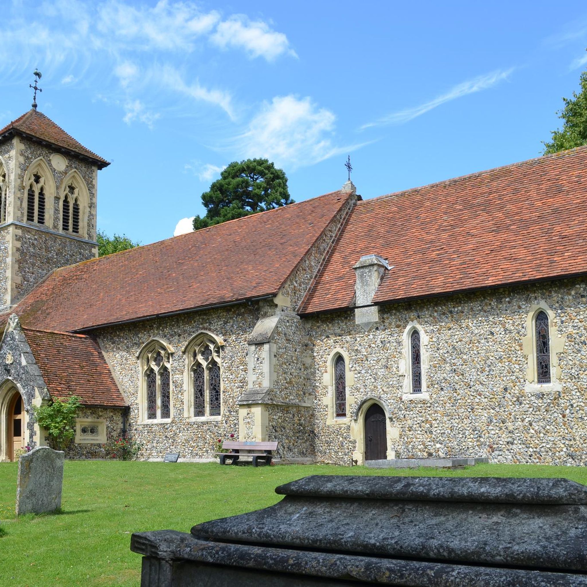
This trail offers a unique journey through history and folklore, incorporating the Flitch Way, a former railway line dating back to 1869, with remnants like Victorian stations. Beyond the railway heritage, you'll discover cultural interest in Little Dunmow, where the church is reputed to be the burial place of Matilda Fitzwalter, said to be the inspiration for Maid Marian. The route seamlessly transitions between these distinct landscapes, providing a rich and engaging experience that highlights the natural beauty and historical depth of rural Essex.
4.5
(6)
13
hikers
21.3km
05:36
170m
170m
Embark on the challenging Widdington & Wicken Bonhunt loop from Newport, a difficult 13.3-mile (21.3 km) hike that takes approximately 5 hours and 35 minutes to complete. You will gain 561 feet (171 metres) in elevation as you traverse varied terrain, including bridleways, footpaths across fields, and woodland sections like Cabbage Wood. Enjoy panoramic views to the east and north, spotting landmarks such as a chalk-pit outside Newport and the rotating radar mast of Carver Barracks from higher points. The route offers a blend of open countryside and sheltered paths, with daffodils adding a splash of color in early spring.
As you plan your visit, be prepared for mixed surfaces; some sections can be muddy, especially under tree canopies, so sturdy footwear is essential. The trail involves crossing stiles and railway lines, adding to its varied nature. With a duration of over five hours, you will appreciate the opportunities for refreshment in the charming villages along the way. Look out for pubs in Widdington, Newport, Wicken Bonhunt, and Quendon, perfect for a break during your extensive walk.
This loop offers a rich tapestry of historical and natural interest in north-east Essex. You will pass through picturesque villages like Widdington and Newport, where you can admire attractive old buildings and churches, some dating back to the early 13th century. A segment of your journey even coincides with the Harcamlow Way, a recognized long-distance footpath. The trail uniquely combines rural tranquility with glimpses of modern infrastructure, such as passing under the M11 motorway, providing a diverse and engaging hiking experience.

3.7
(3)
79
hikers
4.84km
01:15
20m
20m
Easy hike. Great for any fitness level. Easily-accessible paths. Suitable for all skill levels.
4.8
(12)
27
hikers
10.1km
02:39
80m
80m
Moderate hike. Good fitness required. Easily-accessible paths. Suitable for all skill levels.
4.4
(8)
35
hikers
9.18km
02:26
90m
90m
Moderate hike. Good fitness required. Easily-accessible paths. Suitable for all skill levels.
4.6
(11)
36
hikers
11.3km
03:02
140m
140m
Moderate hike. Good fitness required. Easily-accessible paths. Suitable for all skill levels.
5.0
(7)
34
hikers
11.3km
02:59
100m
100m
Moderate hike. Good fitness required. Easily-accessible paths. Suitable for all skill levels.
4.3
(4)
23
hikers
11.1km
02:58
120m
120m
Moderate hike. Good fitness required. Easily-accessible paths. Suitable for all skill levels.
5.0
(4)
30
hikers
23.3km
06:07
190m
190m
Hard hike. Very good fitness required. Easily-accessible paths. Suitable for all skill levels.
5.0
(1)
38
hikers
Easy hike. Great for any fitness level. Easily-accessible paths. Suitable for all skill levels.
Get access to more routes and recommendations from other explorers.
Already have an account?
Our route recommendations are based on thousands of hikes, rides, and runs completed by other people on komoot.
Start today with a free account
Your next adventure awaits.
Other adventures around Uttlesford


Tips from the Community


These local byways are a fantastic resource for runners and walkers. I hardly saw a soul on a 29km run last Sunday morning. Lots of great views and picturesque lanes.
0
0
Such a pretty village in the Spring sunshine and the Axe and Compass pub looks like a good spot for refreshment, although I didn't have time to stop in.
0
0

is a grade II listed post mill at Ashdon, Essex, England which has been restored. Bragg's Mill was built in 1757 by William Haylock, is a post mill with a single storey roundhouse. It has four patent sails carried on a wooden windshaft with a cast iron poll end. Two sails are double shuttered and two are single shuttered. Two pairs of millstones are driven, arranged Head and Tail. The mill is winded by tailpole.The mill is 34 ft (10.36 m) high to the roof
0
0

»I spend my pocket money on buying second-hand books. I love the dry, musty smell of old books, the feeling of the silky paper between my fingers. In any case, the book collection in my room is growing and I think nothing makes a home more homely. Sometimes I feel exhilarated just holding a book in my hands.« (Deborah Crombie in “The Lost Poem”)
0
0

They have a takeaway servery so you don't need to go in and leave your bike to order.
0
0

Frequently Asked Questions
How many hiking trails are available in Uttlesford?
Uttlesford offers a wide variety of hiking experiences, with over 400 routes documented on komoot. These range from easy strolls to more challenging long-distance paths, catering to all fitness levels.
What kind of terrain can I expect on hikes in Uttlesford?
The region features a diverse rural English landscape. You'll find a mix of extensive woodlands, open meadows, rolling hills, and meandering rivers like the Chelmer and Stort. While there are no towering peaks, modest hills such as Sewards End Hill and Chrishall Common provide pleasant climbs and rewarding views. Many paths also follow ancient hedgerows and offer expansive field views.
Are there any easy or beginner-friendly hiking trails in Uttlesford?
Yes, Uttlesford is very welcoming for beginners and those seeking easier walks. Over 200 routes are classified as easy. For a gentle introduction, consider the Rowney Wood loop from Wimbish, which is an easy 3-mile trail through wooded areas, typically completed in just over an hour.
Are there any family-friendly walks in Uttlesford?
Many trails in Uttlesford are suitable for families, especially those that are shorter and flatter. The region's well-maintained footpaths and tranquil routes away from roads, such as sections of the Flitch Way, are ideal. Hatfield Forest also provides excellent options for family outings with its varied paths and natural beauty.
Can I bring my dog on hikes in Uttlesford?
Yes, Uttlesford is generally very dog-friendly, with many trails suitable for walks with your canine companion. The diverse scenery, including woodlands and open fields, provides plenty of space for dogs to enjoy. Always remember to keep dogs under control, especially near livestock, and check for any specific local restrictions.
What are some notable landmarks or attractions I can see while hiking in Uttlesford?
Uttlesford's trails often pass by historical sites and natural beauty spots. You can explore the extensive grounds of Audley End House near Saffron Walden, or discover the medieval landscape of Hatfield Forest. The historic town of Saffron Walden itself offers walks showcasing 15th-century timbered housing and hidden gems like Bridge End Gardens. For a glimpse into the past, the Walden Castle Ruins are also accessible on some routes.
Are there any circular hiking routes in Uttlesford?
Yes, many of the trails in Uttlesford are designed as circular routes, allowing you to start and end in the same location. An example is the Mocha loop from Saffron Walden, a moderate 6-mile hike. Another option is the Ashton Windmill – Bartlow Hills Burial Mounds loop from Ashdon, which is a moderate 7-mile route.
What is the best time of year to go hiking in Uttlesford?
Uttlesford is enjoyable for hiking throughout the year, but spring and autumn are particularly pleasant due to milder temperatures and beautiful seasonal colours. Spring brings blooming wildflowers, while autumn offers stunning foliage in the region's abundant woodlands. The well-maintained footpaths generally make for good walking conditions in most seasons.
How can I access hiking trails in Uttlesford using public transport?
Many towns and villages in Uttlesford, such as Saffron Walden and Newport, serve as excellent starting points for hikes and are accessible by public transport. For example, the Newport to Debden Byway loop starts directly from Newport, which has train connections. It's advisable to check local bus and train schedules for specific trailheads.
Are there any longer, more challenging hikes in Uttlesford?
While much of Uttlesford offers gentle terrain, there are options for more experienced hikers seeking a challenge. The Widdington & Wicken Bonhunt loop from Newport is a difficult 13.3-mile path with varied terrain and scenic village views. Another challenging option is the Historic Buildings of Newport – Waffle loop from Newport, covering over 12 miles.
What do other hikers enjoy most about hiking in Uttlesford?
The komoot community highly rates hiking in Uttlesford, with an average score of 4.6 stars from over 400 reviews. Hikers often praise the region's diverse and picturesque scenery, the tranquility of its woodlands and riverside paths, and the well-maintained network of footpaths that connect charming villages. The opportunity to combine natural beauty with historical landmarks is also frequently highlighted.
Are there any trails that offer a good mix of nature and village exploration?
Absolutely. Many routes in Uttlesford weave through the countryside and connect to quaint villages. The Stebbing, Little Dunmow and the Flitch Way from Great Dunmow is a moderate 10.2-mile trail that combines natural paths with visits to charming settlements. The historic town of Saffron Walden also serves as a hub for walks that explore both its urban heritage and surrounding rural landscapes, such as the Waffle – Saffron Walden loop.
Most popular routes around Uttlesford
Most popular attractions around Uttlesford

Get inspired with the komoot mobile app


Didn’t find what you were looking for?
Check out more Hikes throughout Uttlesford below and find the perfect route in your destination.
Explore more
Browse the best Hikes in other regions.
