The best cycling routes around Waffenbrunn
4.6
(3245)
14,803
riders
15
rides
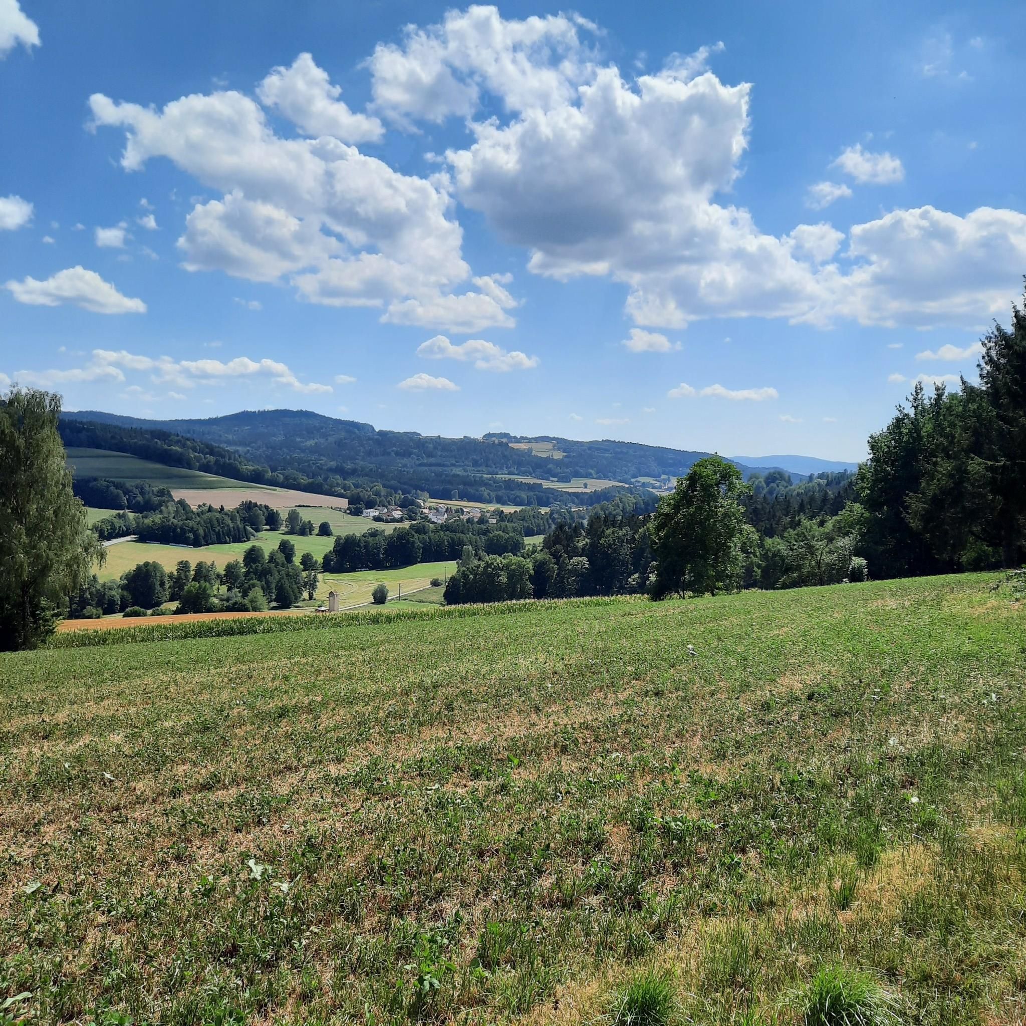
Touring cycling routes around Waffenbrunn are set within the diverse landscapes of Bavaria, Germany, offering varied terrain for cyclists. The region is characterized by extensive forests, rolling hills, and the scenic Lower Regen River. Cyclists can expect a mix of wooded slopes, open fields, and varied elevations, providing a range of experiences from gentle rides to more challenging climbs. This area, part of the Bavarian Forest, features natural beauty suitable for different levels of touring cycling.
Best touring cycling routes around Waffenbrunn
- The most popular touring cycling route is Lower Regen – Lake Satzdorf loop from Balbersdorf, a 30.5 miles (49.1 km) trail that takes 3 hours 15 minutes to complete. This moderate route follows the Lower Regen River and passes by Lake Satzdorf.
- Another top favourite among local touring cyclists is Bleschenbergweg – Ölberg Chapel Waldmünchen loop from Balbersdorf, a moderate 17.8 miles (28.6 km) path. This route features varied terrain and includes the Bleschenbergweg.
- Local touring cyclists also love the Silbersee Beach – Lake Schönsee loop from Balbersdorf, a 68.3 miles (109.9 km) trail leading through diverse landscapes, often completed in about 8 hours 3 minutes.
- Touring cycling around Waffenbrunn is defined by rolling hills, extensive forests, and the Lower Regen River. The network offers options for different ability levels, from moderate paths to more difficult, longer routes.
- The routes in Waffenbrunn are highly rated by the komoot community with an average score of 4.6 stars from over 2800 reviews. More than 13000 touring cyclists have used komoot to explore Waffenbrunn's varied terrain.
Last updated: June 27, 2026
4.9
(10)
27
riders
49.1km
03:15
420m
420m
Moderate bike ride. Good fitness required. Mostly paved surfaces. Suitable for all skill levels.
4.7
(3)
18
riders
Moderate bike ride. Good fitness required. Mostly paved surfaces. Suitable for all skill levels.

Sign up for free
4.2
(6)
15
riders
110km
08:04
1,100m
1,100m
Hard bike ride. Very good fitness required. Mostly paved surfaces. Suitable for all skill levels.
4.6
(10)
10
riders
21.2km
01:32
310m
310m
Moderate bike ride. Good fitness required. Mostly paved surfaces. Suitable for all skill levels.
5.0
(1)
9
riders
32.8km
02:09
340m
340m
Moderate bike ride. Good fitness required. Mostly paved surfaces. Suitable for all skill levels.
Get access to more routes and recommendations from other explorers.
Sign up for free
Already have an account?
Our route recommendations are based on thousands of hikes, rides, and runs completed by other people on komoot.
Start today with a free account
Your next adventure awaits.
Login or Signup
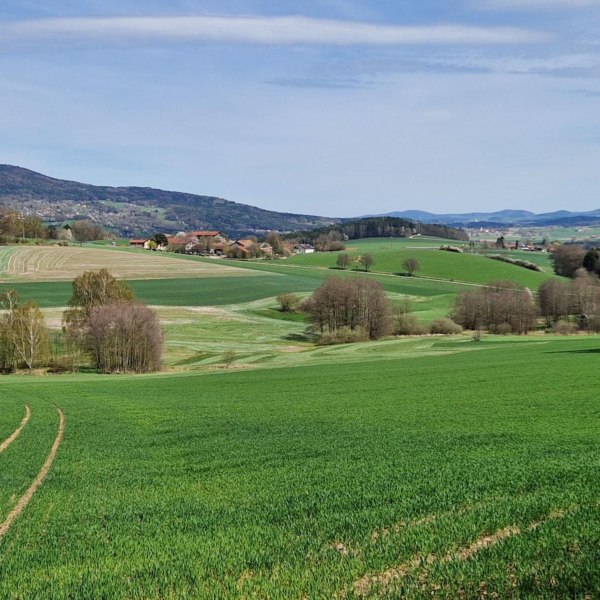
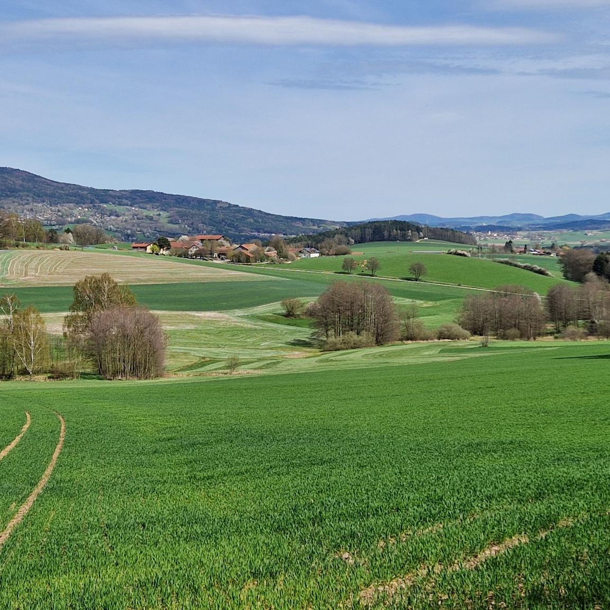
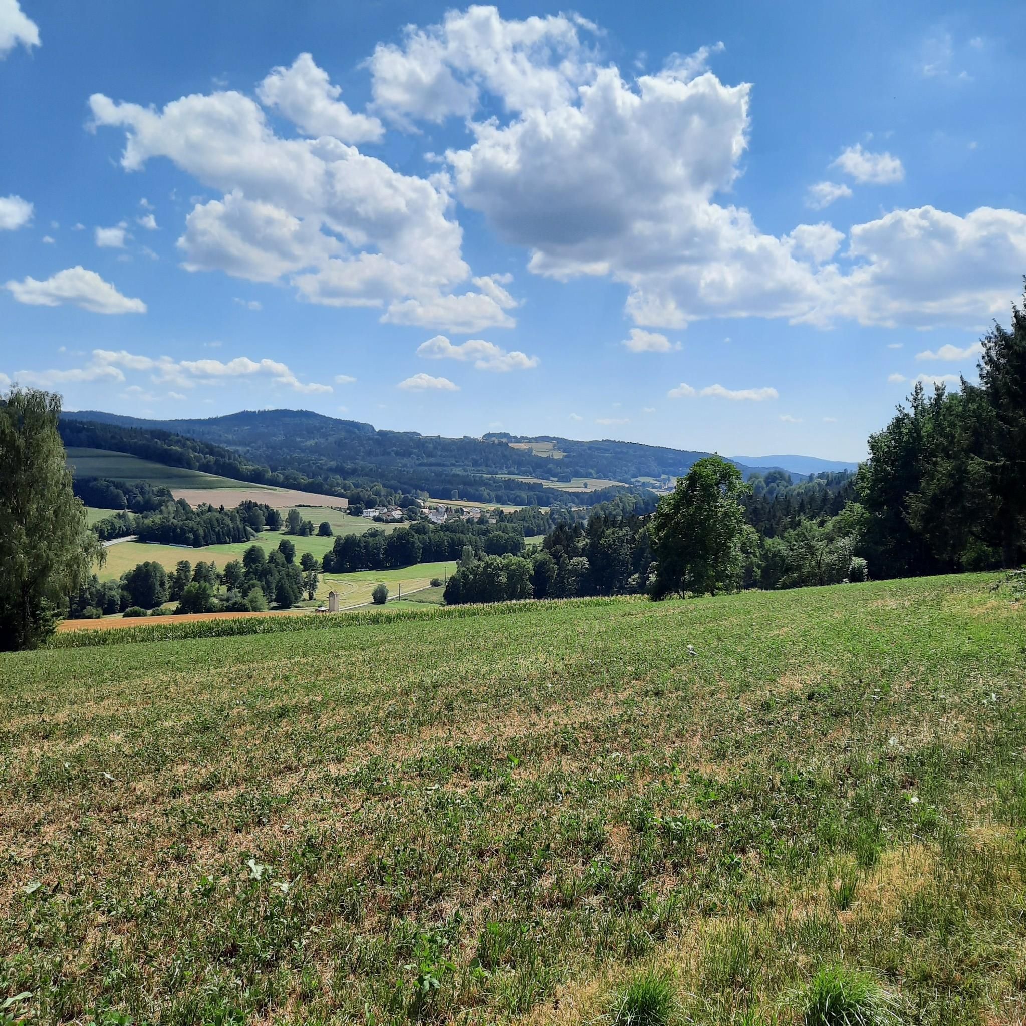
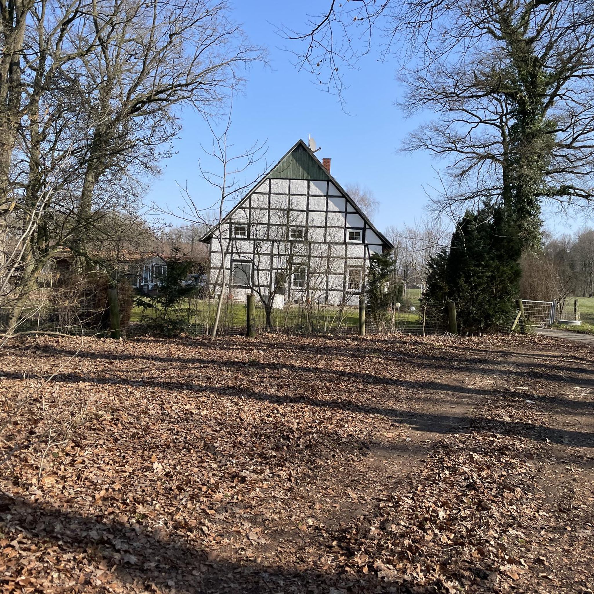
Tips from the Community

the large water wheel is clearly visible from the rain bridge
0
0
Beautiful viewpoint with an orientation board
1
0
Between Haschaberg and Döfering Beautiful view down to Döfering and into the distance
1
0

A traditional, family-run inn with a beer garden and "fair prices" 👍
0
0
Beautiful new bridge with a good view
1
0

At the point where the Chamb River splits into two branches, there's a large shelter with several tables. Behind it, there's a bridge and direct access to the Chamb River. A lovely spot for a rest!
0
0

You have a great view here.
3
0

Frequently Asked Questions
How many touring cycling routes are available in Waffenbrunn?
Waffenbrunn offers around 15 touring cycling routes, catering to various skill levels. These include 7 moderate and 7 difficult routes, alongside one easy option, providing diverse experiences across the region's landscapes.
What kind of terrain can I expect on touring cycling routes around Waffenbrunn?
The touring cycling routes around Waffenbrunn feature diverse terrain, ranging from extensive forests and rolling hills to scenic paths along the Lower Regen River. You'll encounter a mix of wooded slopes, open fields, and varied elevations. While some sections are family-friendly and mostly paved, others, particularly towards the Bavarian Forest, can present more challenging climbs requiring significant stamina.
Are there any family-friendly touring cycling options in Waffenbrunn?
Yes, there are family-friendly sections, such as parts of the Regentalradweg (Regen Valley Cycle Path) between Regensburg and Blaibach, which are mostly paved and suitable for a more relaxed ride. For a moderate option, consider the Lower Regen – Lake Satzdorf loop from Balbersdorf, which follows the Lower Regen River and passes by Lake Satzdorf.
What are some notable landmarks or natural features to see along the cycling routes?
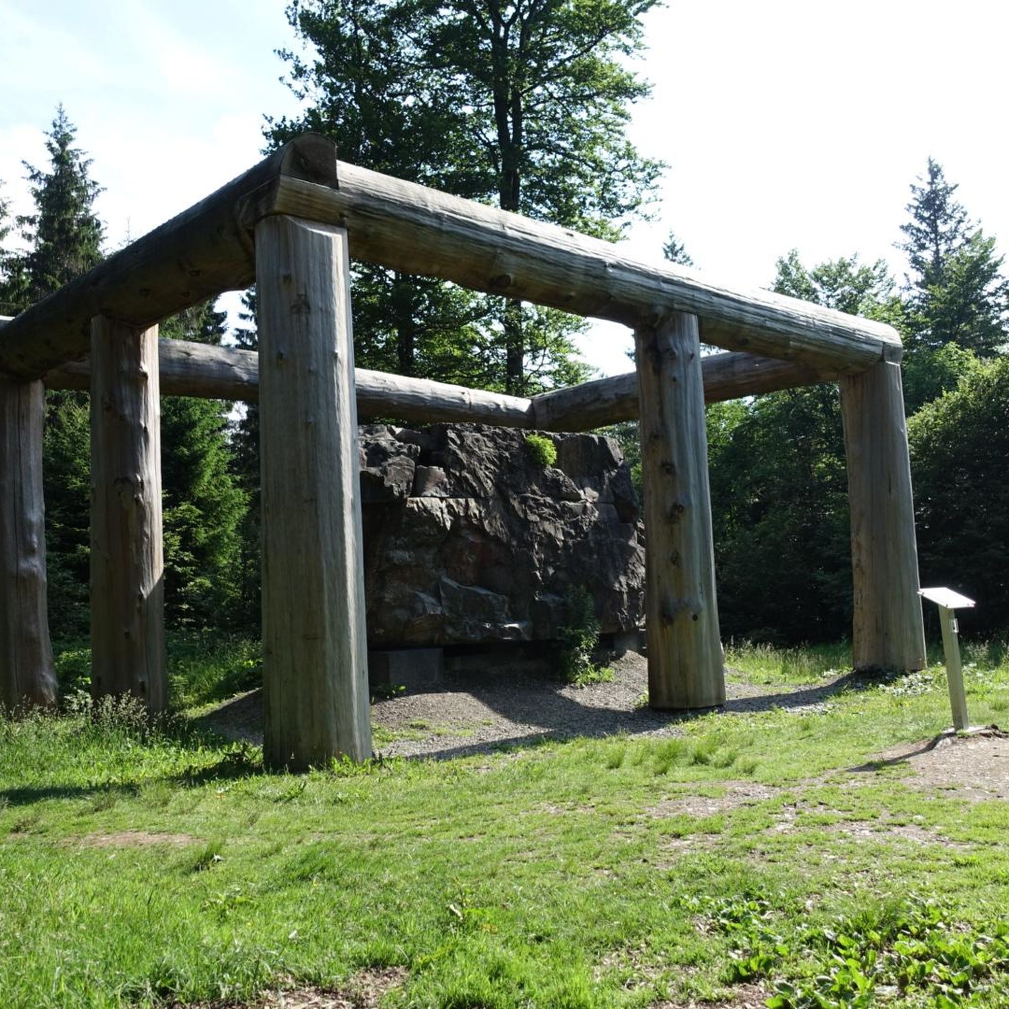
Cyclists can explore several interesting points of interest. Along the routes, you might encounter the symbolic Lighthouse of Humanity at Tannenriegel, or the historic Three Coats of Arms carved into a rock. For stunning views, the Kreuzfelsen Summit (Gibacht) offers a great panorama over the Bavarian Forest after a short climb. The scenic Lower Regen river itself is a beautiful natural feature to cycle alongside.
Are there any circular touring cycling routes in the area?
Yes, many routes around Waffenbrunn are designed as loops. For instance, the popular Bleschenbergweg – Ölberg Chapel Waldmünchen loop from Balbersdorf offers varied terrain over 17.8 miles. Another option is the Arnschwang Moated Castle – Chambtal Cycle Path loop from Balbersdorf, which is a moderate 32.8 km ride.
What do other touring cyclists enjoy most about cycling in Waffenbrunn?
The touring cycling routes in Waffenbrunn are highly rated by the komoot community, with an average score of 4.6 stars from over 2800 reviews. Cyclists often praise the region's diverse landscapes, the mix of challenging and moderate paths, and the beautiful natural settings, particularly along the Lower Regen River and within the Bavarian Forest.
Are there any long-distance touring cycling routes available?
For those seeking a longer adventure, the Silbersee Beach – Lake Schönsee loop from Balbersdorf is a challenging 68.3-mile (109.9 km) trail that leads through diverse landscapes and typically takes around 8 hours to complete. This route is ideal for experienced touring cyclists looking for an extended ride.
What is the best time of year for touring cycling in Waffenbrunn?
While specific seasonal data isn't provided, the region's diverse landscapes, including forests and rolling hills, suggest that spring and autumn would offer pleasant temperatures and beautiful scenery for touring cycling. Summer can also be enjoyable, though some climbs might be more strenuous in warmer weather. It's always advisable to check local weather conditions before your trip.
Are there places to stop for refreshments or accommodation along the routes?
Yes, the region offers options for cyclists. The Haidsteiner Hut is a highly recommended stop for both hikers and bikers in the area, providing a place to rest and refuel. Additionally, towns and villages along various routes, such as Rötz, Grafenkirchen, and Windischbergerdorf, likely offer cafes, pubs, and accommodation suitable for cyclists.
What are the typical surface types for touring cycling routes in Waffenbrunn?
The routes around Waffenbrunn feature a variety of surface types. While some sections, like parts of the Regentalradweg, are described as mostly paved and family-friendly, other routes traverse natural terrain, including paths through extensive forests and rolling hills. Expect a mix of paved roads, gravel paths, and potentially some unpaved sections, reflecting the region's diverse landscapes.
Are there any routes that offer particularly good viewpoints?
Absolutely. The Kreuzfelsen Summit (Gibacht), accessible via a short, rope-secured climb, provides a magnificent view over the Bavarian Forest. Many routes through the rolling hills and along the Lower Regen River also offer picturesque vistas of the surrounding natural beauty.
Are there any less-trafficked roads for road cycling in the Waffenbrunn area?
Yes, the area around Cham, which includes Waffenbrunn, is known to feature road cycling routes on less-trafficked roads. This allows for a more peaceful and enjoyable touring cycling experience away from heavy vehicle traffic, particularly through the scenic rural landscapes and smaller villages.
Most popular routes around Waffenbrunn
Most popular attractions around Waffenbrunn

Get inspired with the komoot mobile app


Explore more
Browse the best Cycling routes in other regions.
