The best road cycling routes around Vörstetten
4.5
(5752)
74,680
riders
466
rides
Road cycling routes around Vörstetten traverse varied terrain, from the gentle slopes of the Rhine Valley to the challenging ascents of the Black Forest foothills. The region features a mix of agricultural landscapes, dense woodlands, and river valleys. Road cyclists can expect routes that include both flatter sections and significant climbs, offering diverse experiences.
Best road cycling routes around Vörstetten
- The most popular road cycling route is Round trip on the Kandel — legendary passes in the Black Forest,…
Last updated: July 8, 2026
4.6
(11)
152
riders
57.1km
03:10
1,220m
1,220m
Hard road ride. Very good fitness required. Mostly well-paved surfaces and easy to ride.
4.8
(28)
406
riders
103km
04:57
1,300m
1,300m
Hard road ride. Very good fitness required. Mostly well-paved surfaces and easy to ride.

Sign up for free
4.8
(40)
541
riders
Moderate road ride. Good fitness required. Mostly well-paved surfaces and easy to ride.
4.8
(76)
1,142
riders
49.8km
02:50
1,150m
1,150m
Hard road ride. Very good fitness required. Some segments of this route may be unpaved and difficult to ride.
4.7
(26)
268
riders
Easy road ride. Great for any fitness level. Mostly well-paved surfaces and easy to ride.
Get access to more routes and recommendations from other explorers.
Sign up for free
Already have an account?
Our route recommendations are based on thousands of hikes, rides, and runs completed by other people on komoot.
Start today with a free account
Your next adventure awaits.
Login or Signup
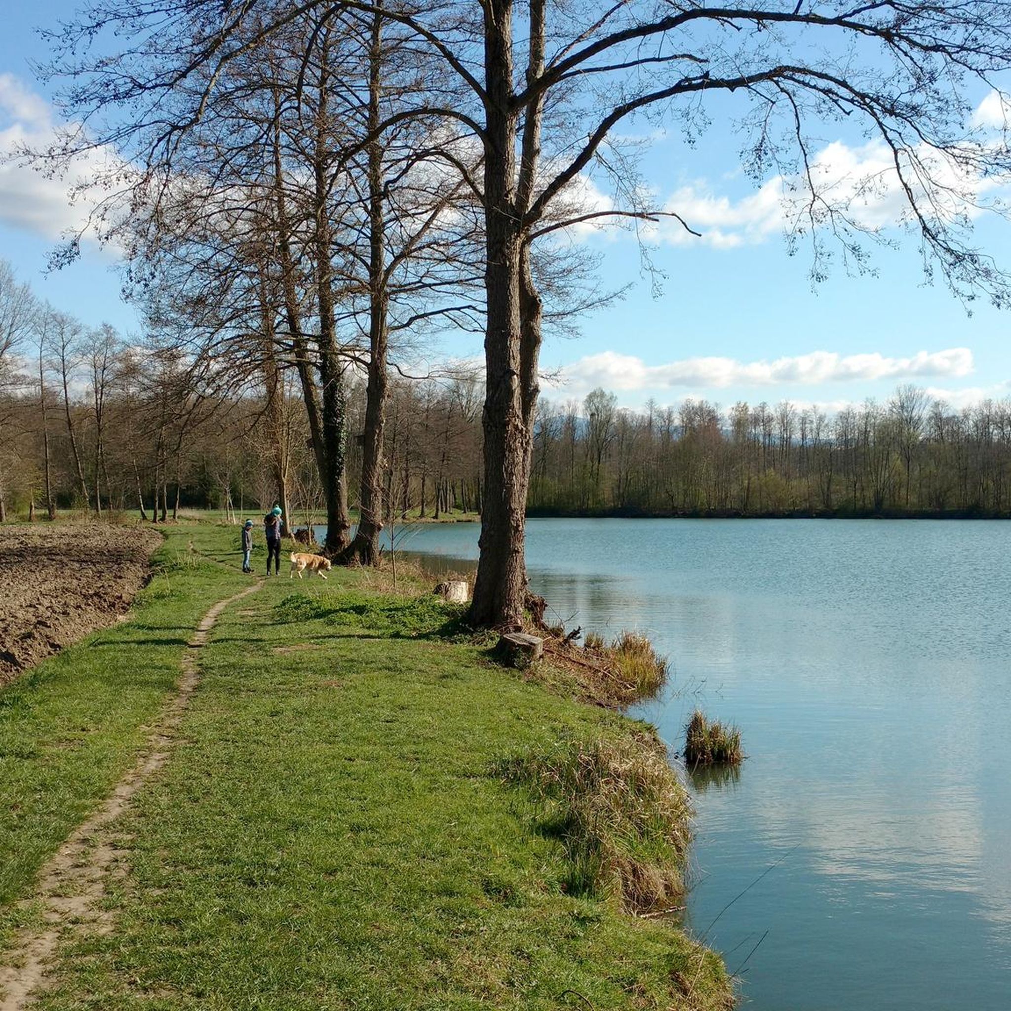
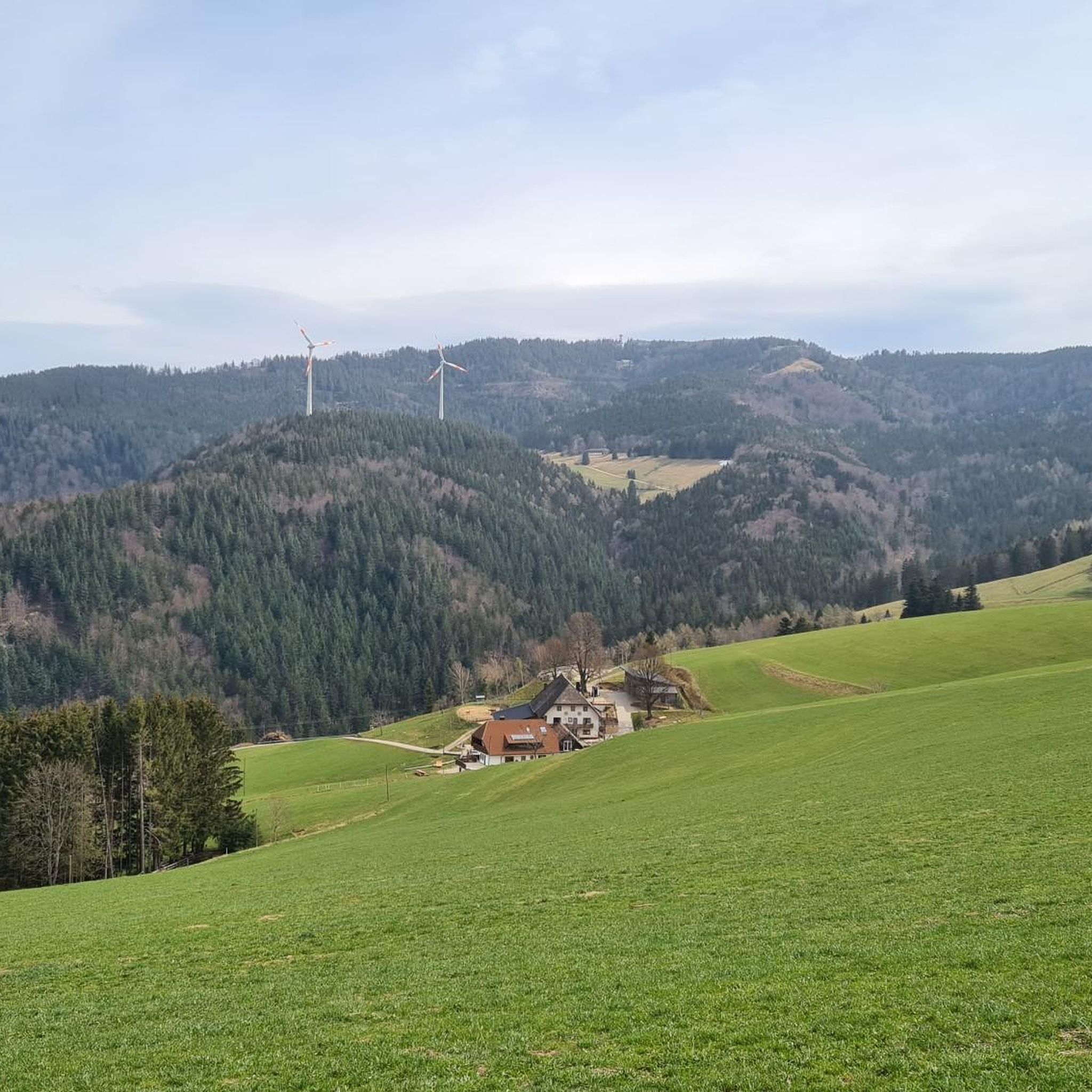
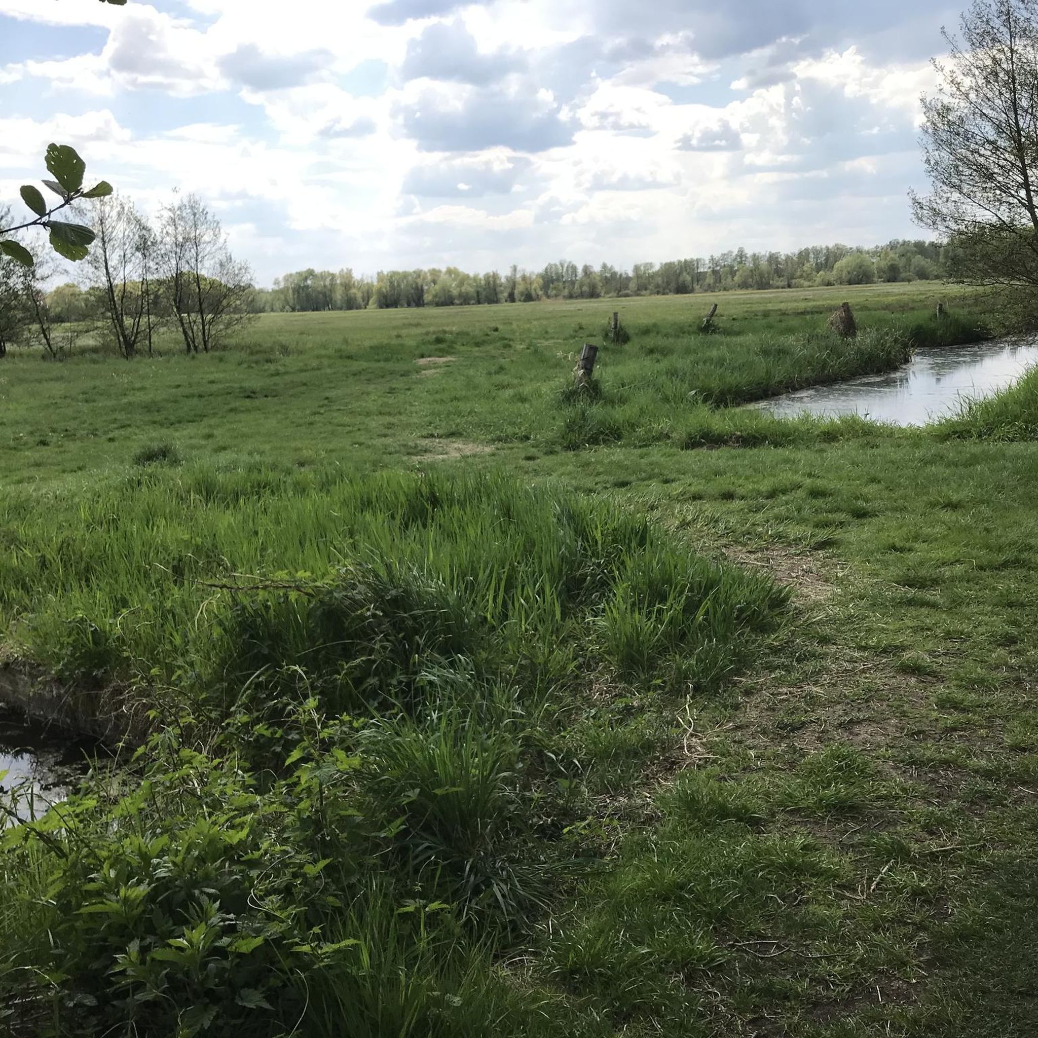
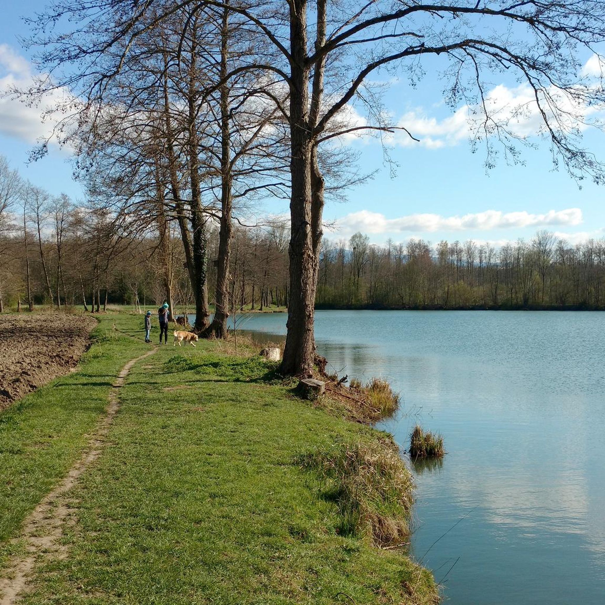

Tips from the Community

Going down was a pleasure, going up was not so much fun because of the heavy traffic.
0
0

Visually a highlight of old architecture
0
0

The beer garden is nice, but it's self-service only, with prices that don't justify it.
2
1
Nice beer garden. Self-service. The cake was delicious, but a tiny piece.
3
1

nice place for a little rest
0
0

From here it's a straight line to Riegel. Really fast for speed!
1
0

Together with the five-arch bridge, the water tower is the landmark of Eichstetten. However, since 1970 it has not been used for its original purpose, as the fields it was used to irrigate have been put to other economic use. Since then, the NABU has used the tower for the animal species that live there.
1
0
Frequently Asked Questions
How many road cycling routes are available around Vörstetten?
There are over 475 road cycling routes around Vörstetten, offering a wide range of options for all skill levels. The komoot community has explored more than 71,000 of these routes.
Are there road cycling routes suitable for beginners in Vörstetten?
Yes, Vörstetten offers a good selection of routes for beginners. There are 128 easy routes, such as the Old Water Tower, Eichstetten – Mühlbach Slalom Path loop from Gundelfingen (Breisgau), which is 26.8 miles (43.1 km) long and leads through agricultural areas and river plains with minimal elevation gain.
What options are there for experienced road cyclists seeking a challenge?
Experienced road cyclists will find plenty of challenging routes, particularly those venturing into the Black Forest foothills. There are 79 difficult routes, including the demanding Round trip on the Kandel — legendary passes in the Black Forest, which covers 35.5 miles (57.1 km) with significant elevation gain.
What kind of terrain can I expect on road cycling routes around Vörstetten?
Road cycling routes around Vörstetten feature diverse terrain, from the gentle slopes of the Rhine Valley to the challenging ascents of the Black Forest foothills. You'll encounter a mix of agricultural landscapes, dense woodlands, and river valleys, providing both flatter sections and substantial climbs.
Can I find circular road cycling routes around Vörstetten?
Yes, many road cycling routes in the Vörstetten area are designed as loops. For example, the Tennenbach Abbey Chapel – View of Hochburg Castle Ruins loop from Gundelfingen (Breisgau) offers a moderate 38.2 miles (61.4 km) path with scenic views of historical sites.
Are there scenic viewpoints or interesting landmarks to see along the routes?
Absolutely. The region offers several points of interest. You can find stunning views from towers like the Rosskopf Tower or the Schlossberg Tower. Additionally, routes may pass by natural features such as the Glotter Valley or the Krottenweiher lake.
When is the best time of year for road cycling in Vörstetten?
The best time for road cycling in Vörstetten is generally from spring through autumn, when the weather is mild and the landscapes are vibrant. While some routes may be accessible in winter, conditions can be challenging, especially in higher elevations or during periods of snow and ice.
Where can I find parking for road cycling routes in Vörstetten?
Parking is generally available in and around Vörstetten, often near town centers or designated trailheads. Many routes start from towns like Gundelfingen (Breisgau) or Denzlingen, where public parking facilities can be found. It's advisable to check local parking options for your specific starting point.
Are there places to stop for refreshments or cafes along the road cycling routes?
Yes, many routes pass through or near charming villages and towns where you can find cafes, bakeries, and restaurants. The region is known for its hospitality, so you'll often have opportunities to refuel and enjoy local specialties during your ride.
What do other road cyclists say about the routes around Vörstetten?
The road cycling routes around Vörstetten are highly rated by the komoot community, with an average score of 4.5 stars from over 5,200 reviews. Cyclists often praise the varied terrain, the beautiful scenery, and the well-maintained roads that make for an enjoyable riding experience.
Are there any less-known or 'hidden gem' road cycling routes worth exploring?
While many routes are popular, exploring some of the less-trafficked paths can reveal hidden gems. Consider routes that delve deeper into the agricultural plains or follow smaller river valleys for a quieter experience, such as the Through Prechtal – Hexenlochmühle loop from Denzlingen, which offers a longer, scenic journey.
What is the typical distance and duration for road cycling routes in the Vörstetten area?
Routes vary significantly in distance and duration. Easy routes might be around 25-30 miles (40-50 km) taking 1.5-2 hours, while moderate routes can range from 35-40 miles (55-65 km) taking 2.5-3.5 hours. Challenging routes, like the Kandel Serpentines – St. Peter Panorama loop from Gundelfingen (Breisgau), can be around 30 miles (50 km) but with significant climbing, taking over 3 hours.
Most popular routes around Vörstetten
Most popular attractions around Vörstetten

Get inspired with the komoot mobile app


Explore more
Browse the best Road cycling routes in other regions.
