The best walks and hikes around Vordorfer Forst
4.6
(23569)
86,138
hikers
1,777
hikes
Hiking around Vordorfer Forst, a forest area in the Fichtelgebirge, Bavaria, is characterized by its extensive forest cover and varied terrain. The region features notable natural elements such as the Wolfstein rock formation and the Zinngräben bei Vordorfermühle geotope, providing insights into its geological history. Impressive granite boulders and rock formations are common throughout the Fichtelgebirge, contributing to the rugged beauty of the area. This landscape offers diverse hiking experiences within a rich woodland ecosystem.
Best hiking trails around Vordorfer…
Last updated: July 3, 2026
4.8
(103)
319
hikers
Easy hike. Great for any fitness level. Easily-accessible paths. Suitable for all skill levels.
4.8
(50)
162
hikers
Easy hike. Great for any fitness level. Easily-accessible paths. Suitable for all skill levels.

Sign up for free
4.9
(73)
208
hikers
14.2km
04:18
450m
450m
Moderate hike. Good fitness required. Easily-accessible paths. Suitable for all skill levels.
4.7
(28)
112
hikers
Easy hike. Great for any fitness level. Easily-accessible paths. Suitable for all skill levels.
5.0
(8)
17
hikers
18.7km
05:33
550m
550m
Hard hike. Very good fitness required. Mostly accessible paths. Sure-footedness required.
Get access to more routes and recommendations from other explorers.
Sign up for free
Already have an account?
Our route recommendations are based on thousands of hikes, rides, and runs completed by other people on komoot.
Start today with a free account
Your next adventure awaits.
Login or Signup
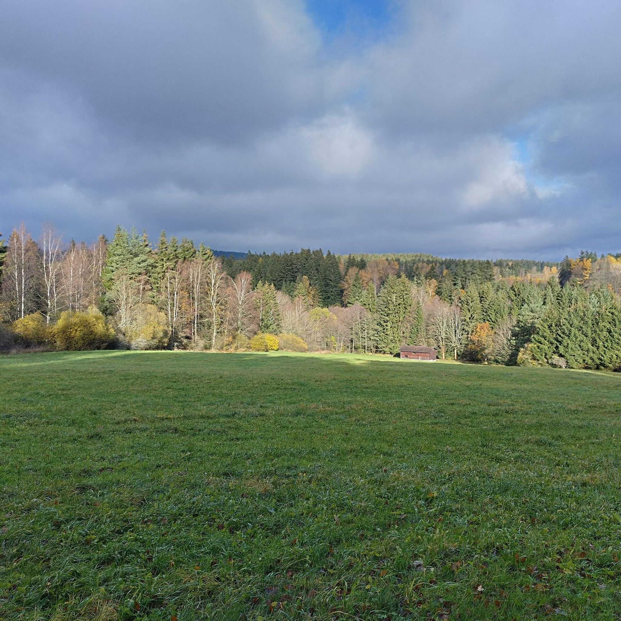
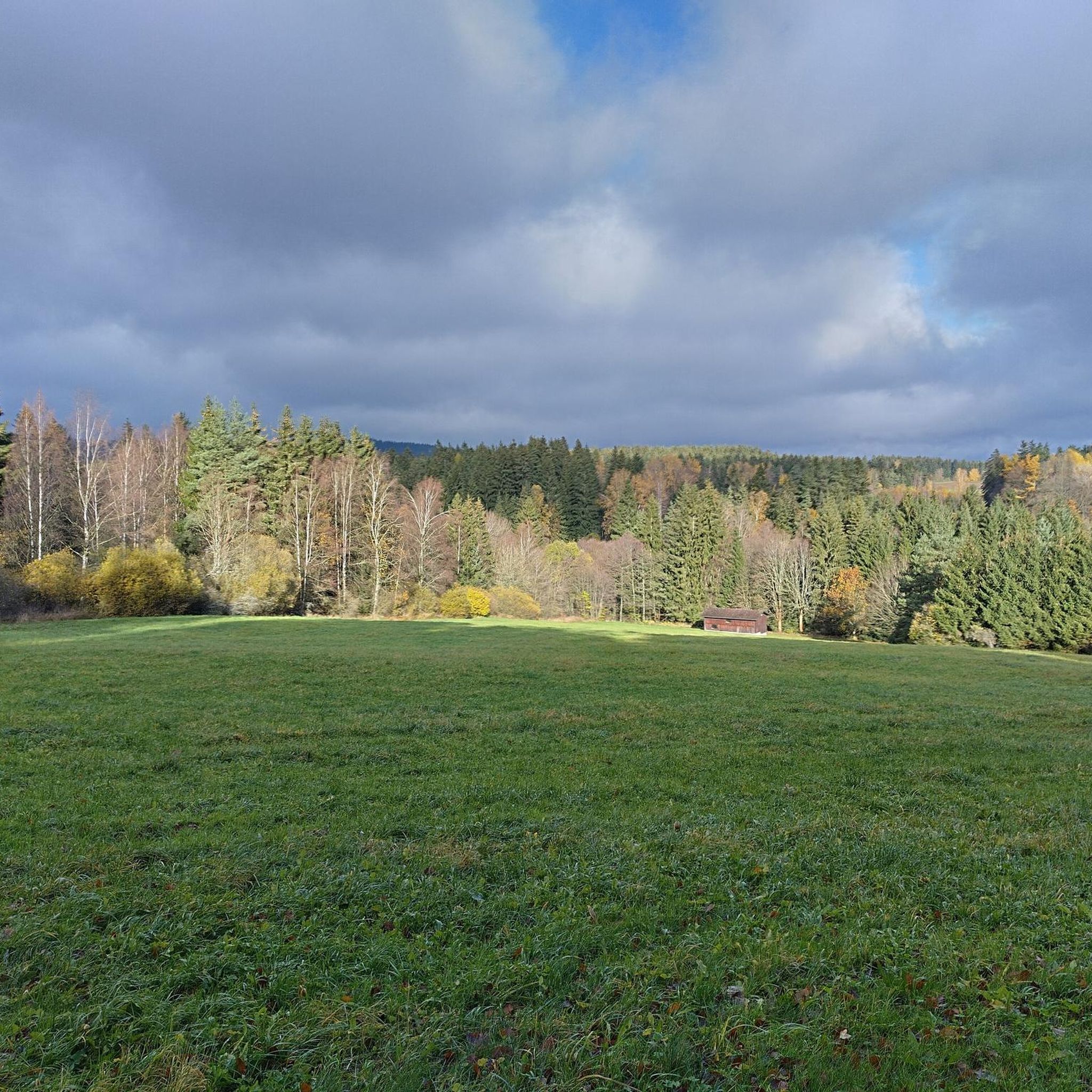
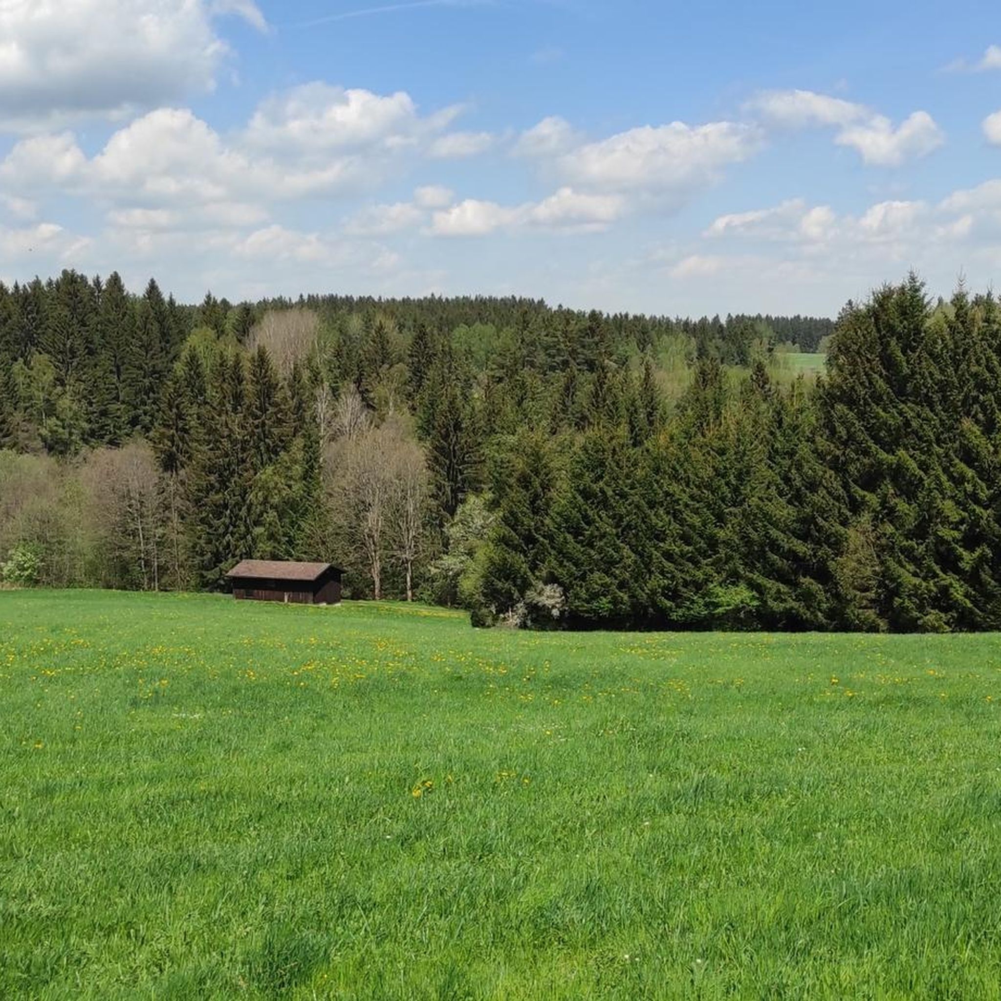

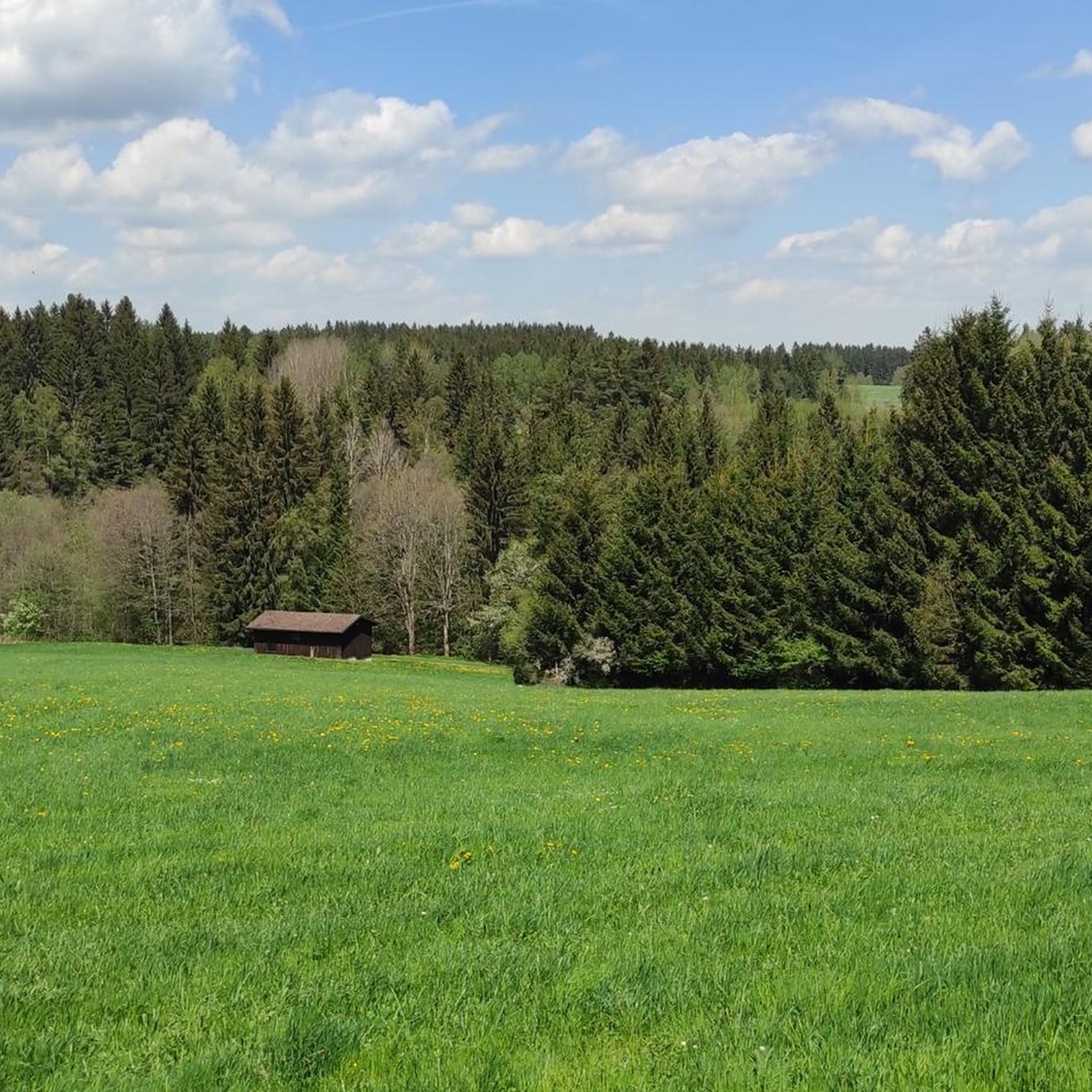
Tips from the Community

Not so nice, but visible from afar.
0
1

A dream of a rocky trail, but be careful when wet!
0
0

The Bundeswehr's reconnaissance towers were set up and operated by the Bundeswehr's Army, Air Force, and Navy electronic warfare units along the German-German border and the border with Czechoslovakia to provide reconnaissance for the armed forces of the Eastern Bloc. The Luftwaffe towers transmitted their findings to the Luftwaffe's Signals Division 70 in Trier for comprehensive analysis and were called Signals Sector Towers.
0
1
Beautiful nature reserve, many informative signs
0
0
Great wading trails
0
1
Great hiking trails
0
0

Frequently Asked Questions
How many hiking trails are available in Vordorfer Forst?
Vordorfer Forst offers a vast network of hiking trails. You can explore over 1700 routes, ranging from easy strolls to more challenging treks, ensuring there's something for every hiker.
What types of terrain can I expect when hiking in Vordorfer Forst?
The terrain in Vordorfer Forst is primarily characterized by extensive forest cover, offering varied woodland ecosystems. You'll encounter unique rock formations, such as the Wolfstein, and significant geological features like the Geotope "Zinngräben bei Vordorfermühle." Trails can range from gentle forest paths to more rugged sections around rock features.
What is the overall difficulty level of hiking trails in Vordorfer Forst?
The trails in Vordorfer Forst cater to a wide range of abilities. There are over 860 easy routes, more than 820 moderate paths, and around 100 difficult trails, providing options for beginners and experienced hikers alike.
Are there any unique natural features or landmarks to discover in Vordorfer Forst?
Absolutely. Vordorfer Forst is home to the notable Wolfstein rock formation and the Geotope "Zinngräben bei Vordorfermühle," which offers insights into the region's geological history. Nearby, you can also explore the Nusshardt Summit and Rock Formations, the Princes' Rocks, and even caves like the Girgel Cave and Diana Grotto and Spring.
What are some notable viewpoints or scenic spots in the area?
For breathtaking panoramic views, the Asenturm observation tower on the Ochsenkopf mountain, located nearby, is a major highlight. Within the broader area, the Nußhardt Summit and Rock Formations also offer challenging terrain and scenic vistas.
Are there any circular hiking routes in Vordorfer Forst?
Yes, many trails in Vordorfer Forst are designed as loops. For example, you could try the challenging Rocky Forest Trail – Three Brothers Rocks loop from Vordorf, which covers nearly 19 km and features significant elevation changes.
Are there family-friendly hiking options in Vordorfer Forst?
Yes, Vordorfer Forst offers many family-friendly options, particularly among its over 860 easy routes. These trails often feature shaded paths through the forest, suitable for various ages and fitness levels. Look for shorter, less strenuous loops for a pleasant family outing.
Is Vordorfer Forst suitable for hiking with dogs?
Vordorfer Forst is generally dog-friendly, with its extensive forest trails providing ample space for walks. Many hikers enjoy bringing their dogs along to explore the varied terrain and natural features. Always ensure your dog is under control and respect local wildlife.
What do other hikers enjoy the most about hiking in Vordorfer Forst?
The area is highly rated by the komoot community, with an average score of 4.6 stars from over 20,000 reviews. Hikers often praise the diverse natural setting, the unique rock formations, and the extensive forest environments that provide a refreshing outdoor experience.
Are there any shorter, easy hikes for a quick outdoor experience?
Certainly. For a shorter, easy hike, consider the Lake House Fichtelgebirge – Ridge trail to Nußhardt loop from Neubauer Forst Nord. This moderate route is just under 2.5 km and can be completed in about 40 minutes, offering a pleasant walk without significant effort.
What is the best time of year to hike in Vordorfer Forst?
Vordorfer Forst offers enjoyable hiking experiences throughout much of the year. Spring brings lush greenery, while autumn showcases vibrant fall foliage. Summer provides shaded trails, and even winter can be beautiful for snowshoeing or winter hiking, depending on conditions.
Are there any geological points of interest in Vordorfer Forst?
Yes, Vordorfer Forst is notable for the Geotope "Zinngräben bei Vordorfermühle." This site offers unique insights into the geological history of the region, making it a fascinating natural attraction for those interested in the earth sciences.
Most popular routes around Vordorfer Forst
Most popular attractions around Vordorfer Forst

Get inspired with the komoot mobile app


Explore more
Browse the best Hikes in other regions.
