The best road cycling routes around Sør-Fron
4.7
(3)
127
riders
12
rides
Road cycling around Sør-Fron offers diverse terrain, from the Gålå plateau to the Gudbrandsdalslågen River valley. The region features well-developed routes that traverse mountain roads and provide views of surrounding peaks. Cyclists can expect varied elevation profiles, including significant climbs on some routes. The landscape transitions between open mountain areas and riverine environments, providing a range of road cycling experiences.
Best road cycling routes around Sør-Fron
- The most popular road cycling route is Venabygdsfjellet Summit – Solida Ysteri loop from…
Last updated: July 10, 2026
5.0
(1)
23
riders
122km
06:14
2,090m
2,090m
Hard road ride. Very good fitness required. Mostly well-paved surfaces and easy to ride.
12
riders
44.6km
02:21
450m
450m
Moderate road ride. Good fitness required. Mostly well-paved surfaces and easy to ride.

Sign up for free
13
riders
98.6km
05:05
1,700m
1,700m
Hard road ride. Very good fitness required. Mostly well-paved surfaces and easy to ride.
9
riders
34.0km
02:01
760m
760m
Moderate road ride. Good fitness required. Some segments of this route may be unpaved and difficult to ride.
8
riders
31.4km
01:46
650m
660m
Moderate road ride. Good fitness required. Mostly well-paved surfaces and easy to ride.
Get access to more routes and recommendations from other explorers.
Sign up for free
Already have an account?
Our route recommendations are based on thousands of hikes, rides, and runs completed by other people on komoot.
Start today with a free account
Your next adventure awaits.
Login or Signup
Popular around Sør-Fron
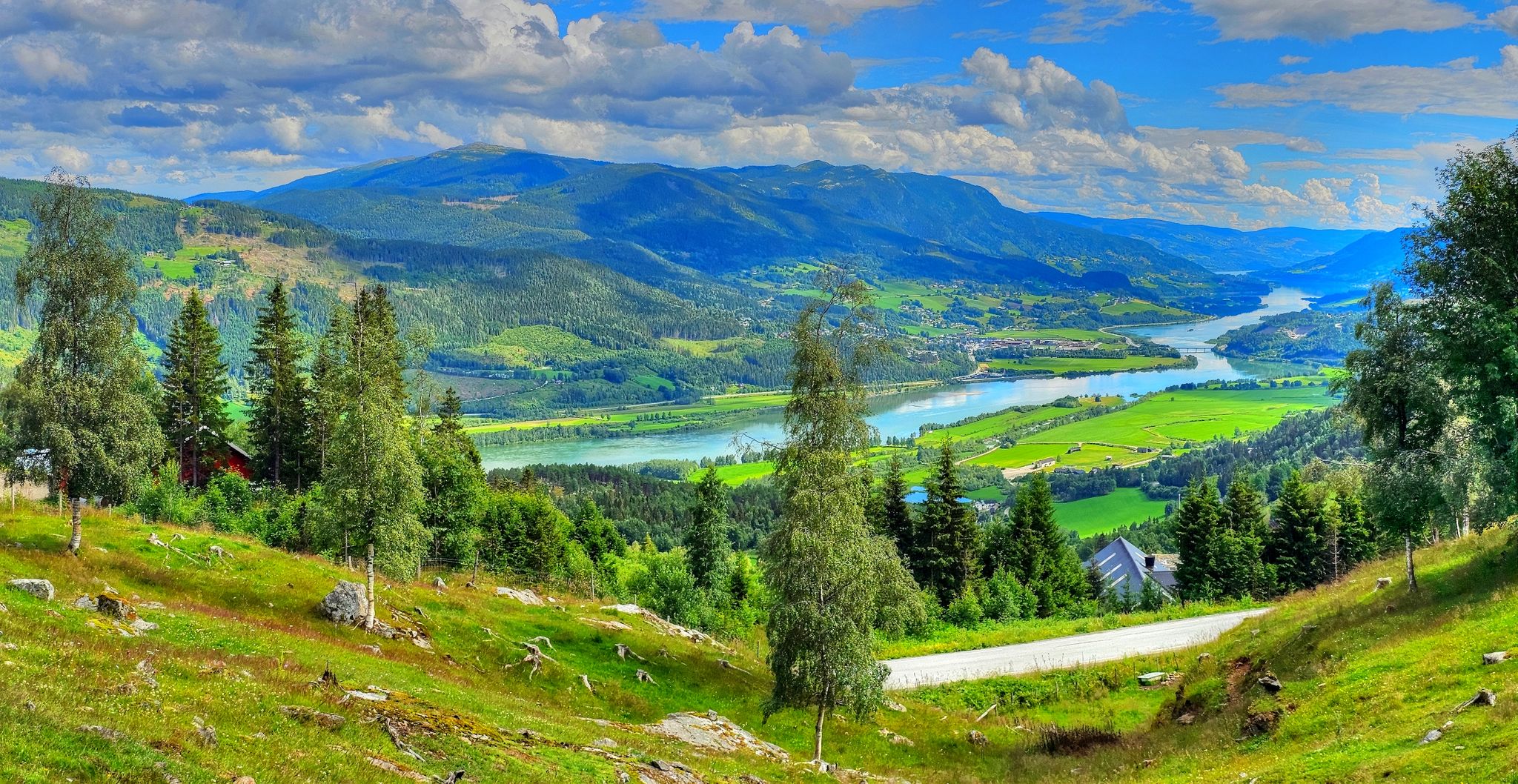
Pilgrim Route – An epic journey across Norway
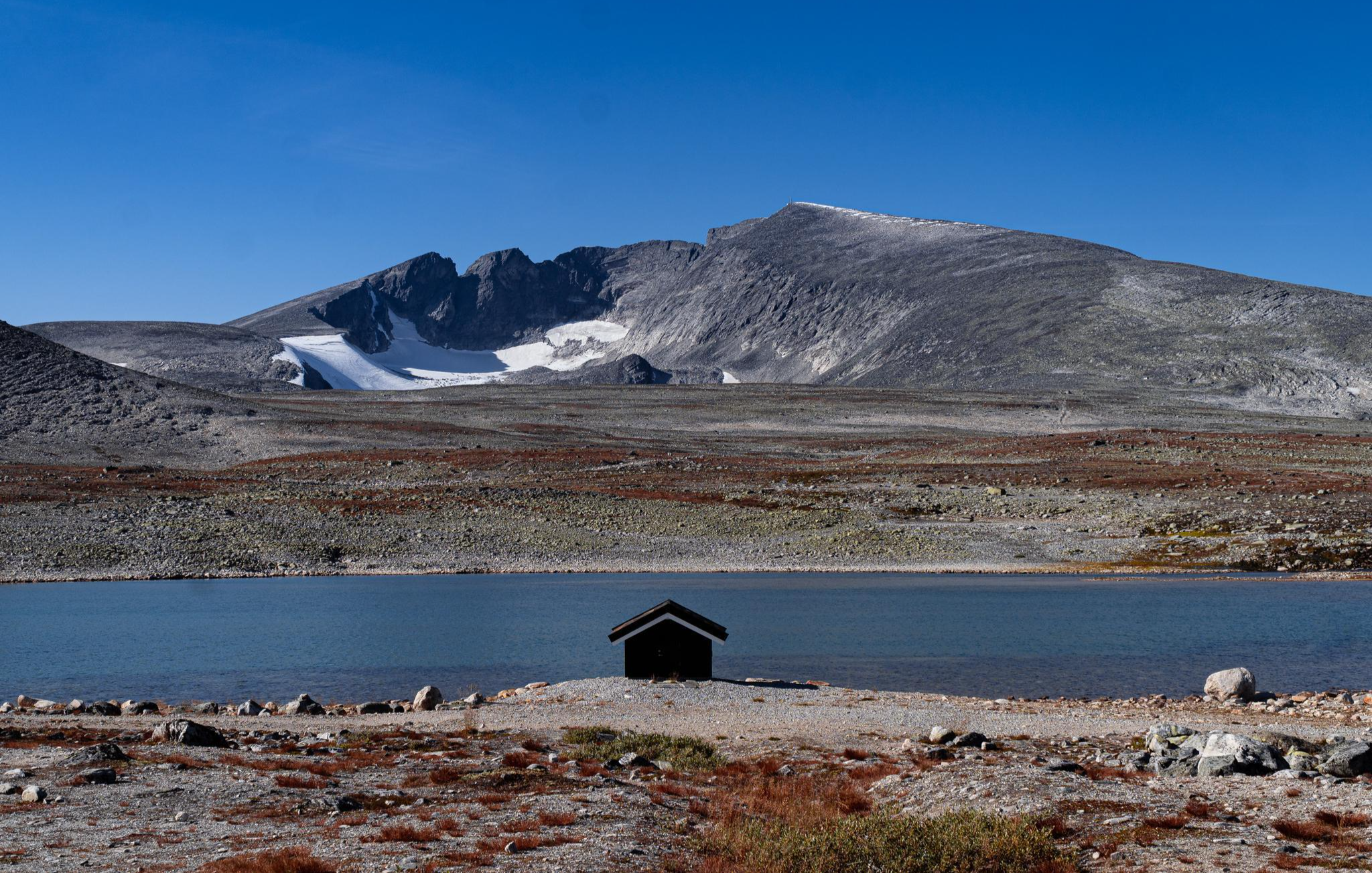
SignaTUR SAGA – Reindeer, wild trails and mighty peaks
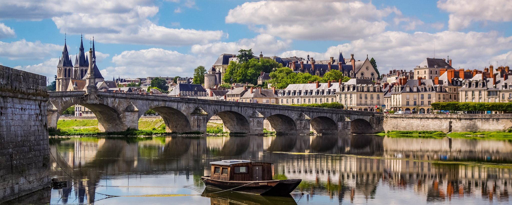
EuroVelo 3 – A cycling pilgrimage from Norway to France
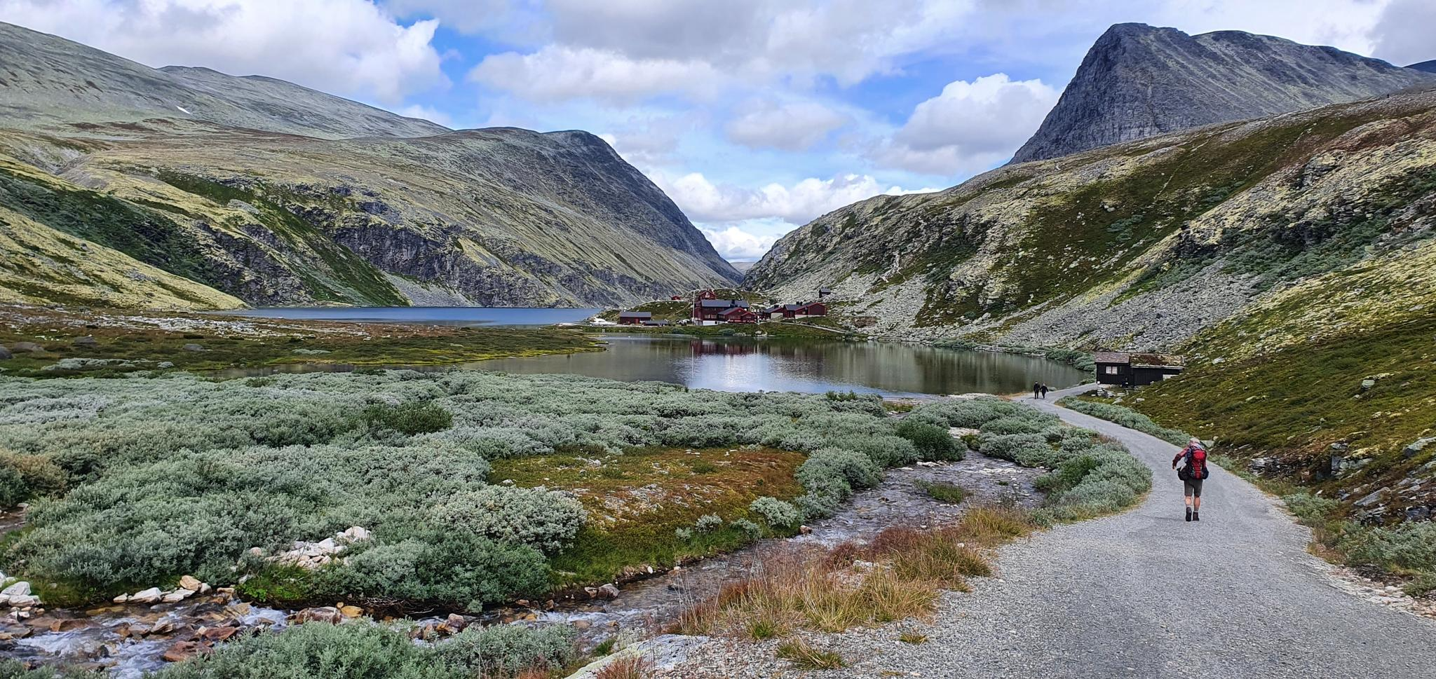
The Rondane Triangle – A Classic Loop in Norway’s First National Park
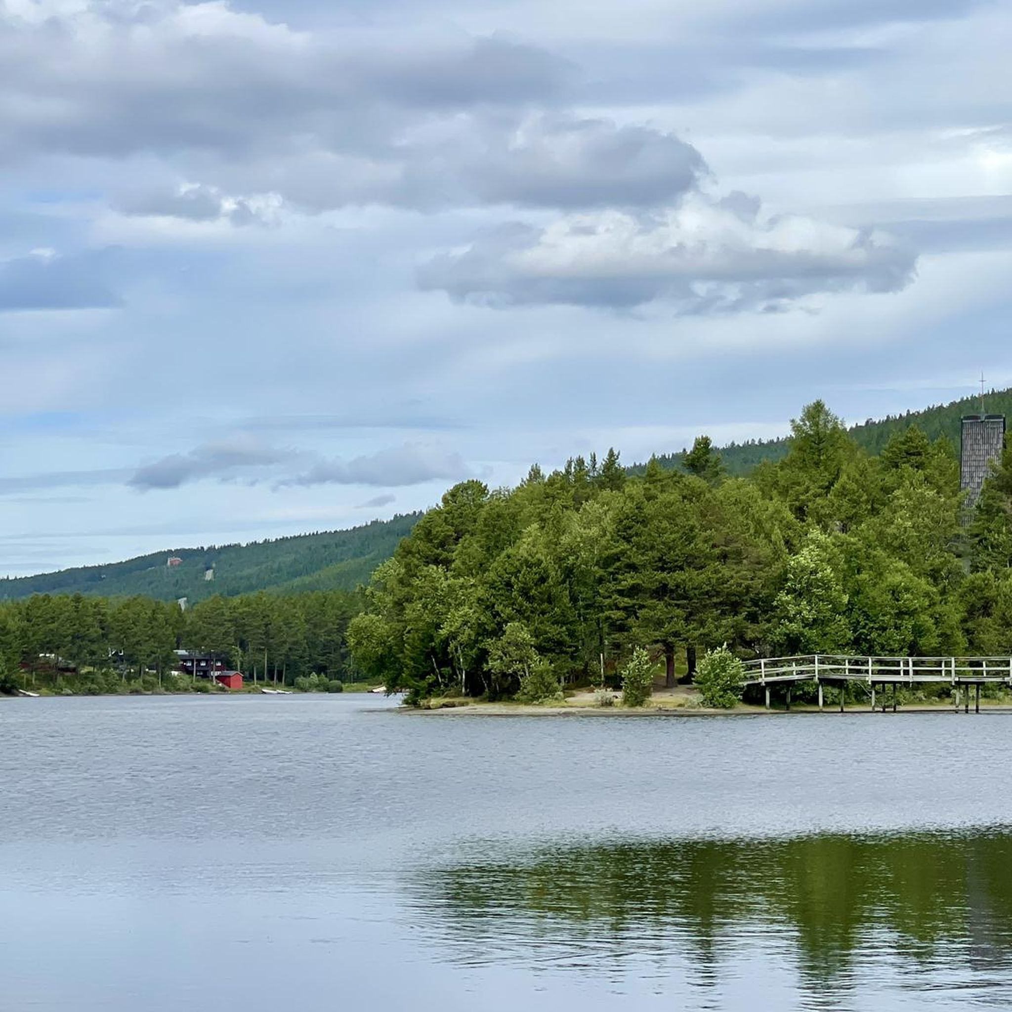
Hiking around Sør-Fron
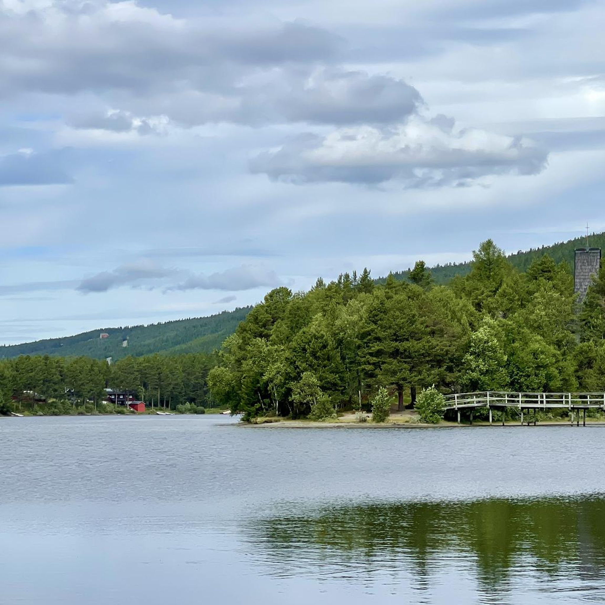
Cycling around Sør-Fron
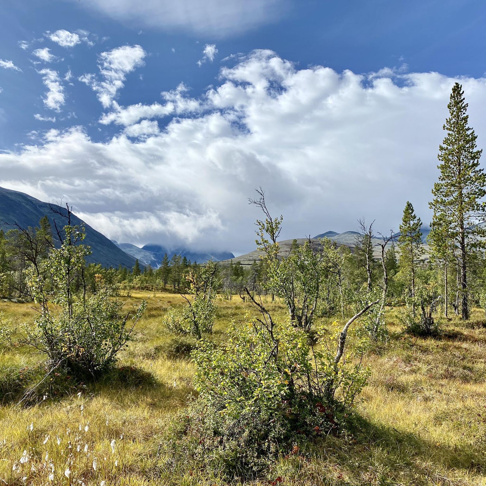
MTB Trails around Sør-Fron
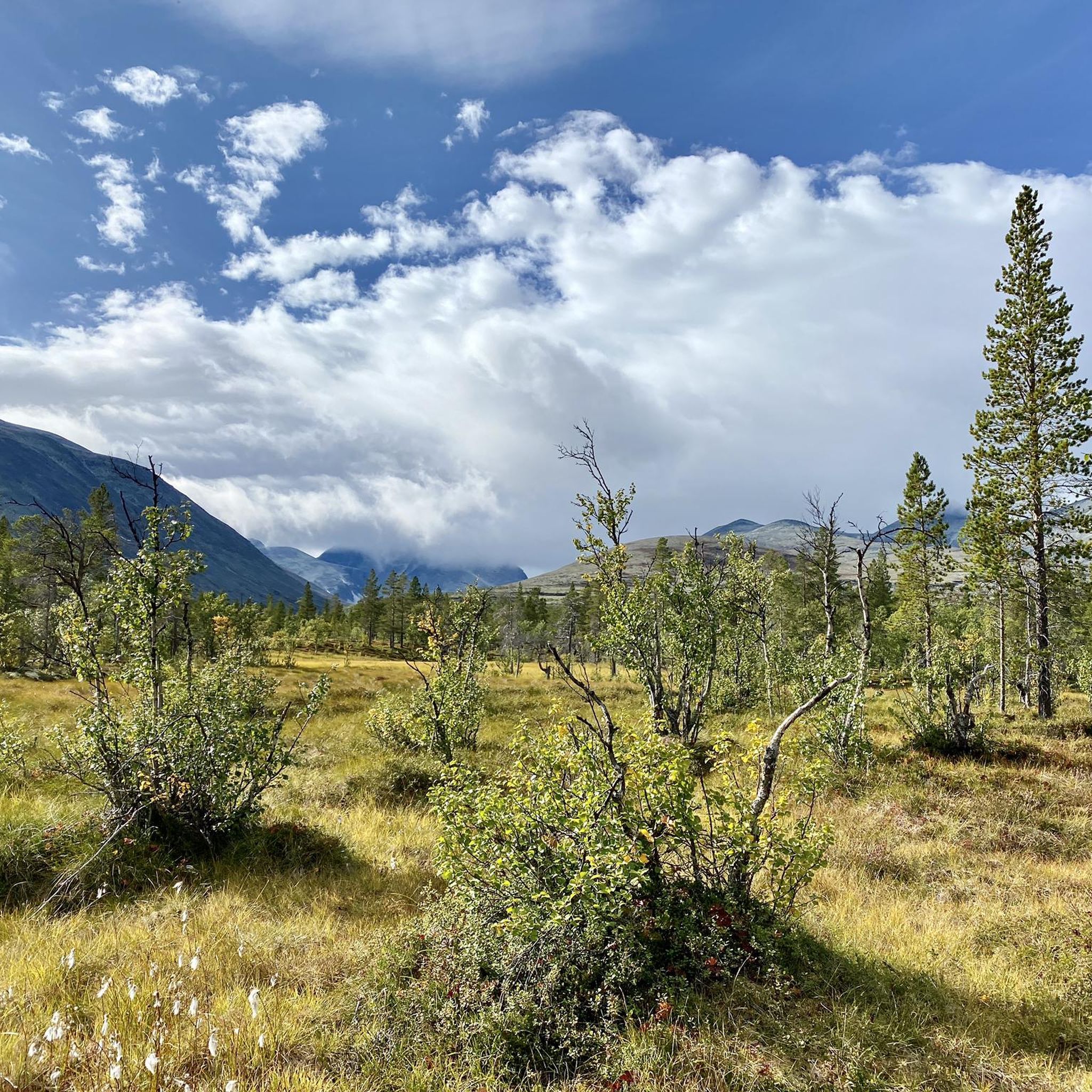
Running Trails around Sør-Fron

Gravel biking around Sør-Fron
Other adventures around Sør-Fron


Tips from the Community


Very nice place to have artisan cheeses. Try the cheese plate and have a coffee!
0
0

Amazing view as you cross over the bridge
0
0

Elaborately designed viewing platform with a beautiful view over the lake and across to the mountains from Rondane. Be sure to stop.
1
0

Fantastic view of Rondane NP and Atnsjøen. The viewing platform was designed by architect Carl-Viggo Hølmebakk and was completed in 2008. The platform was designed and conceived by Hølmebakk based on the painting "Winter Night in the Mountains" by Harald Sohlberg.
0
0

Muen is one of the highest peaks in the Area. Great hiking trails in the area as well.
1
1

The impressive grounds of the Vannbruksmuseum are located in the middle of a bright birch forest. The museum used to be a water-powered sawmill that is still largely preserved. Nowadays exhibitions and concerts are held here. There are also toilets accessible to the public, but these are only open in midsummer and are therefore closed from August to mid-June.
1
0
Frequently Asked Questions
How many road cycling routes are available in Sør-Fron?
There are over 10 road cycling routes around Sør-Fron, offering diverse experiences for cyclists. These routes are highly rated by the komoot community, with an average score of 4.7 stars.
What kind of terrain can I expect when road cycling in Sør-Fron?
Sør-Fron offers varied terrain, transitioning from the Gålå plateau to the Gudbrandsdalslågen River valley. You'll find well-developed routes traversing mountain roads with views of surrounding peaks, as well as routes along riverine environments. Expect a range of elevation profiles, from moderate climbs to significant ascents on more challenging routes.
What is the best time of year for road cycling in Sør-Fron?
The warmer months are ideal for road cycling in Sør-Fron. The region's natural environment and infrastructure are particularly well-suited for cycling during this period, allowing you to enjoy the diverse landscapes and mountain views.
Are there road cycling routes suitable for beginners or those looking for an easier ride?
While many routes in Sør-Fron involve significant elevation, there are moderate options available. For example, the Atnbrufossen Water Use Museum – Solida Ysteri loop from Hamna is a moderate 27.7-mile route with over 1,400 feet of elevation gain, typically completed in about 2 hours 20 minutes.
What are some challenging road cycling routes in Sør-Fron?
For experienced cyclists seeking a challenge, routes like the Venabygdsfjellet Summit – Solida Ysteri loop from Ringebu offer a demanding experience. This difficult 75.7-mile route features over 6,800 feet of elevation gain and can take over 6 hours to complete. Another challenging option is the Venabygdsfjellet Summit – Sohlbergplassen Viewpoint loop from Ringebu, a 61.3-mile trail with over 1,700 feet of elevation gain.
Are there any circular road cycling routes in Sør-Fron?
Yes, many of the road cycling routes in Sør-Fron are designed as loops, allowing you to start and end at the same point. Examples include the Krokhaugen – Gudshaug loop from Tåkåstadsætra and the Sjoa River – Kvam Suspension Bridge loop from Nerbygda.
What scenic points or landmarks can I see along the road cycling routes in Sør-Fron?
Road cycling in Sør-Fron offers views towards the majestic Jotunheimen and Rondane national parks. You might also encounter cultural landmarks such as Ringebu Stave Church or the Dale-Gudbrands Gard Pilgrim Center. The region is also known for its glacier-fed waterfalls and scenic overlooks like the Harpefoss Viewpoint.
Are there places to stay or eat near the cycling routes?
Yes, Sør-Fron has options for accommodation and places to eat. You might find facilities like Venabu Fjellhotell or DNT Bjørnhollia, which are listed as huts or hotels in the area. The region's active farming communities also offer opportunities to experience local hospitality.
What makes road cycling in Sør-Fron unique?
Road cycling in Sør-Fron is characterized by its unique blend of the Gålå plateau, the Gudbrandsdalslågen River, and surrounding mountains. The region is part of broader European cycling networks like EuroVelo 3 and features routes like the Peer Gynt Road and Mjølkevegen, offering a mix of paved and unpaved segments through stunning natural and cultural landscapes.
What do other road cyclists enjoy most about road cycling in Sør-Fron?
The area is highly rated by the komoot community, with an average score of 4.7 stars. Reviewers often praise the varied terrain, the stunning views of mountains and river valleys, and the well-developed routes that cater to different fitness levels.
Most popular attractions around Sør-Fron

Get inspired with the komoot mobile app


Explore more
Browse the best Road cycling routes in other regions.
