The best walks and hikes around Volkenschwand
4.5
(567)
2,690
hikers
426
hikes
Hiking around Volkenschwand offers access to varied terrain within Bavaria, Germany. The region is characterized by rolling hills, local woodlands, and proximity to river valleys, providing diverse natural landscapes for outdoor activities. These features contribute to a network of trails suitable for exploring the rural countryside and natural beauty of the area.
Best hiking trails around Volkenschwand
- The most popular hiking route is Hiking loop from Rainertshausen, a 6.5 miles (10.5 km) trail that takes 2 hours 48 minutes…
Last updated: July 4, 2026
4.7
(3)
6
hikers
4.43km
01:13
80m
80m
Easy hike. Great for any fitness level. Easily-accessible paths. Suitable for all skill levels.
5.0
(1)
7
hikers
3.17km
00:51
30m
30m
Easy hike. Great for any fitness level. Easily-accessible paths. Suitable for all skill levels.

Sign up for free
3
hikers
12.2km
03:16
140m
140m
Moderate hike. Good fitness required. Easily-accessible paths. Suitable for all skill levels.
5.0
(4)
6
hikers
6.21km
01:42
100m
100m
Easy hike. Great for any fitness level. Easily-accessible paths. Suitable for all skill levels.
4
hikers
3.22km
00:52
40m
40m
Easy hike. Great for any fitness level. Easily-accessible paths. Suitable for all skill levels.
Get access to more routes and recommendations from other explorers.
Sign up for free
Already have an account?
Our route recommendations are based on thousands of hikes, rides, and runs completed by other people on komoot.
Start today with a free account
Your next adventure awaits.
Login or Signup
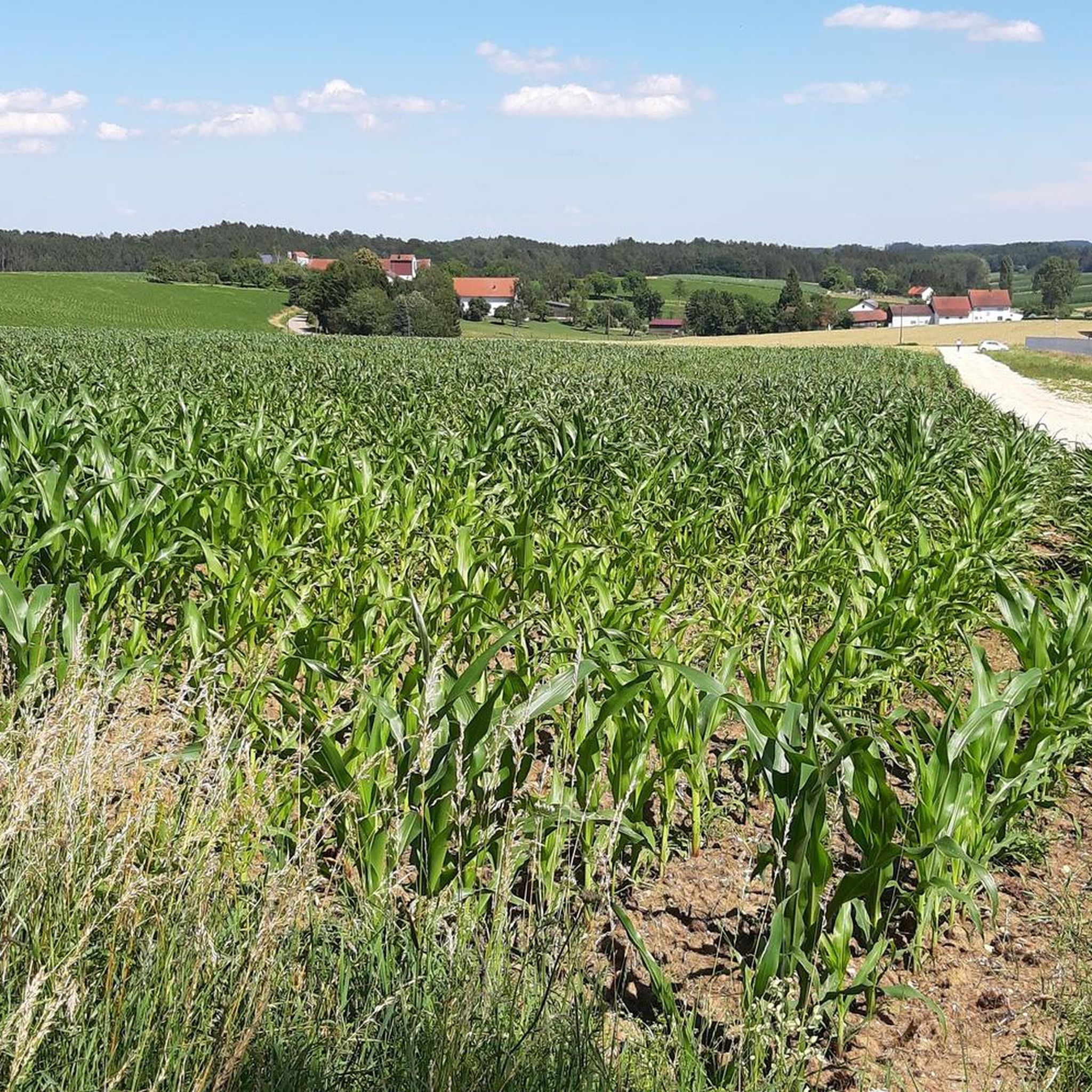
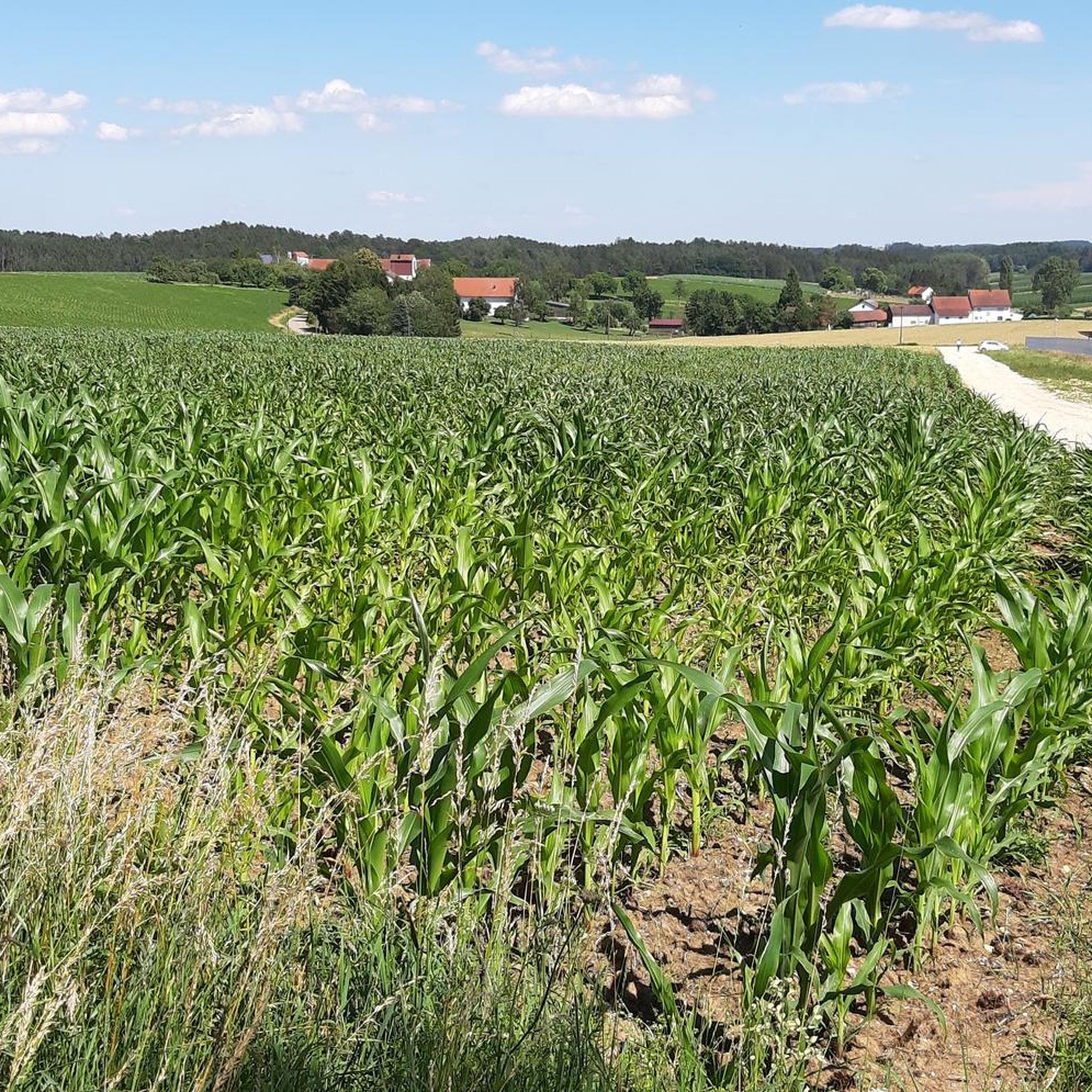
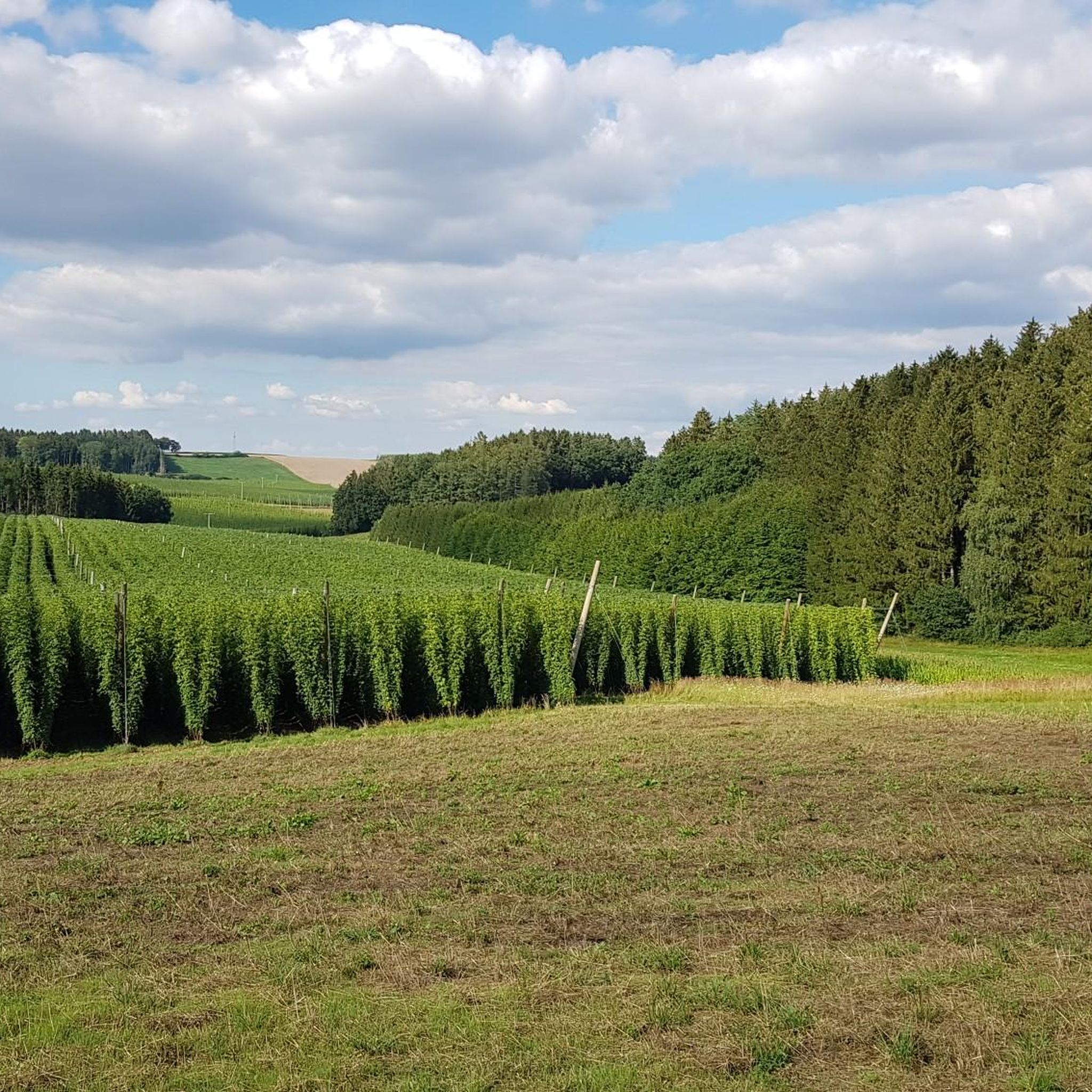
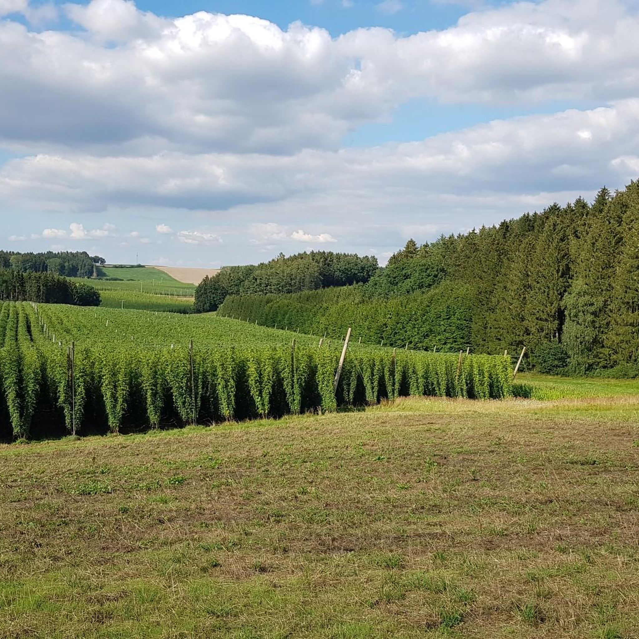
Tips from the Community

The little church is always closed, but there are two benches for a rest. A quiet place to pause.
0
0

Great place for a picnic.
0
0


Unfortunately, the church is locked. However, the altar can be photographed through a peephole. Further information: Around 1590, the farmer Veit Kammermaier from Seeb (Galli) found an image of a saint on the road next to the village and christened it St. Simon. He placed it in a small wooden chapel in the forest and placed an offering box next to it. When, following a miraculous answer to prayer, the offerings began to flow in abundance, in 1625, just a few years before the Swedish invasion, work began on building the church with the help of various benefactors. The “Hallertau Chronicler” also gave a detailed history on page 90, as did the Sulzbach “Calendar for Catholic Christians” from 1913. Around Michaelmas 1625, the church was consecrated by the auxiliary bishop of Regensburg. A tower with two bells from the year it was built originally stood next to the church, and the current turret was not added to the church until 1730. The donations of the pilgrims who flocked to the church increased the church's assets so much that St. Simon's in Aiglsbach became the church with the most capital in the entire Mainburg district. A holy mass was held here every week until 1800. A sermon was held here every year on Easter Sunday at 1 a.m. On St. Simon's Day, several neighboring parishes and their priests used to come here with the cross and a large market day was held at the same time. The church had become so dilapidated over time that in 1778 it was considered to be demolished because it was no longer worth the necessary repair costs. On April 11, 1780, the electoral government in Munich issued the order to demolish the church, but this was thwarted at the last minute and repairs were carried out in 1792. The rotting altarpiece depicting the martyrdom of the church's patron saint was replaced by a new one in 1912. The church owned the blacksmith's estate in Steinbach and the Arzenhof in Oberpindhart as saints' property. From "Local history of the parish of Pötzmes" Pastor Johann Schmid, Pötzmes, 1925
1
0
Enjoy the beautiful view of the Abenstal while swinging.
2
0
Beautiful view of the Abens valley and the lovely landscape.
0
0

Frequently Asked Questions
How many hiking trails are available around Volkenschwand?
There are over 400 hiking routes around Volkenschwand, offering a wide variety of options for all skill levels. This includes more than 250 easy trails, 145 moderate routes, and a few more challenging paths for experienced hikers.
What kind of terrain can I expect on hikes near Volkenschwand?
The terrain around Volkenschwand is characterized by rolling hills, extensive local woodlands, and tranquil riverine landscapes, typical of Bavaria. You'll find paths traversing forests, open fields, and countryside, providing diverse natural scenery.
Are there any easy, family-friendly hikes in the area?
Yes, Volkenschwand offers many easy routes suitable for families. An example is the Autumn Trees in Lower Bavaria – Schinterbuckl loop from Sandelzhausen, an easy 3.9-mile (6.2 km) path that showcases varied countryside. Another gentle option is the Picnic Table in Upper Bavaria loop from Notzenhausen, which is 4.4 km long.
Can I find circular hiking routes around Volkenschwand?
Many of the hiking routes around Volkenschwand are circular, allowing you to start and end at the same point. Popular circular options include the Hiking loop from Rainertshausen, which is 6.5 miles (10.5 km), and the Water Tower – Forest Idyll loop from Grafendorf, a 7.6-mile (12.2 km) trail.
Are there any natural landmarks or viewpoints to discover on the trails?
While specific unique natural landmarks directly within Volkenschwand are not widely detailed, the region's charm lies in its diverse natural landscapes. You can explore local woodlands, rolling hills, and river valleys. For specific points of interest, consider visiting nearby lakes like Waldbad Nandlstadt or the Fairy Tale Pond.
What do other hikers say about the trails in Volkenschwand?
The hiking routes in Volkenschwand are highly regarded by the komoot community, holding an average rating of 4.5 stars from over 500 reviews. Hikers often praise the varied terrain, tranquil forests, and well-maintained paths that allow for enjoyable exploration of the Bavarian countryside.
Are the hiking trails around Volkenschwand dog-friendly?
Many trails in the Volkenschwand area are suitable for hiking with dogs, especially those traversing woodlands and open fields. It's generally recommended to keep dogs on a leash, particularly in nature conservation areas or near livestock, to ensure the safety and enjoyment of all trail users and wildlife.
What is the best time of year to go hiking in Volkenschwand?
Volkenschwand offers pleasant hiking experiences throughout much of the year. Spring and autumn are particularly beautiful, with blooming flora or vibrant fall foliage. Summer provides warm weather for longer excursions, while winter can offer serene, snow-covered landscapes, though some paths might be less accessible.
Are there any places to eat or drink near the hiking routes?
While specific cafes directly on every trail are not common, the broader region around Volkenschwand offers various options. You might find traditional Bavarian Gasthöfe or beer gardens in nearby villages. For example, the Schlossgarten Ratzenhofen Beer Garden is a notable nearby attraction.
Is there public transport access to the hiking areas?
Access to hiking areas around Volkenschwand primarily relies on local bus services connecting the municipality with surrounding towns. While some routes might be accessible via public transport stops, having a car often provides more flexibility for reaching trailheads in this rural Bavarian region.
Where can I find parking for hiking trails in Volkenschwand?
Parking for hikers is typically available at the starting points of many trails, often in or near the villages surrounding Volkenschwand. Look for designated parking areas in places like Rainertshausen, Sandelzhausen, Notzenhausen, Grafendorf, or Thalham, which serve as common trailheads.
Are there any longer, more challenging hikes available?
While the majority of trails are easy to moderate, Volkenschwand does offer a few more challenging routes for those seeking a greater workout. These routes typically feature more significant elevation changes and cover longer distances, providing a good test for experienced hikers.
Most popular routes around Volkenschwand
Most popular attractions around Volkenschwand

Get inspired with the komoot mobile app


Explore more
Browse the best Hikes in other regions.
